






Battle of Pradis Trail

Stopnja težavnosti: T1
Between Pielungo and Pradis, now in the province of Pordenone, on 5–6 November 1917 the Italian troops of the Carnia Zone attempted to break through the Austro-German encirclement and open a passage towards...
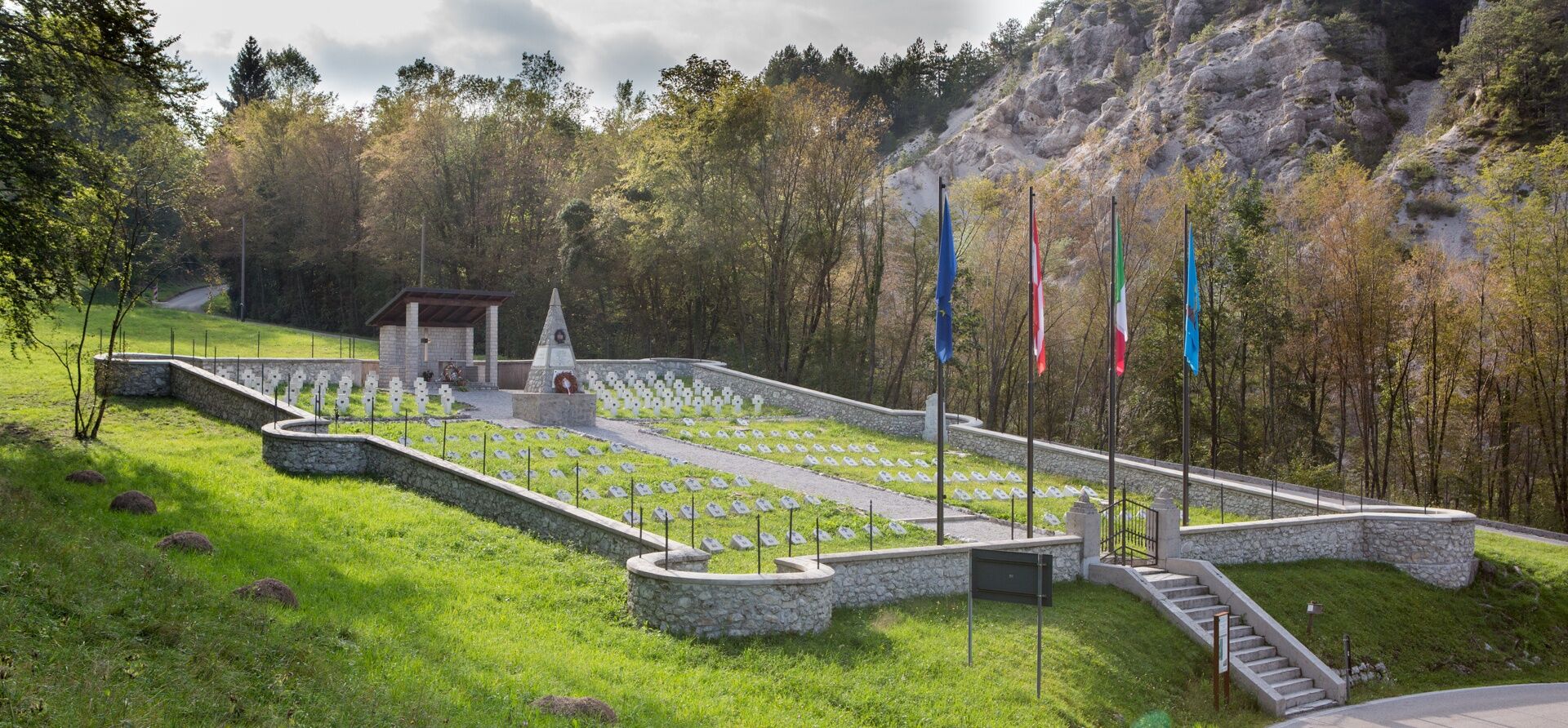
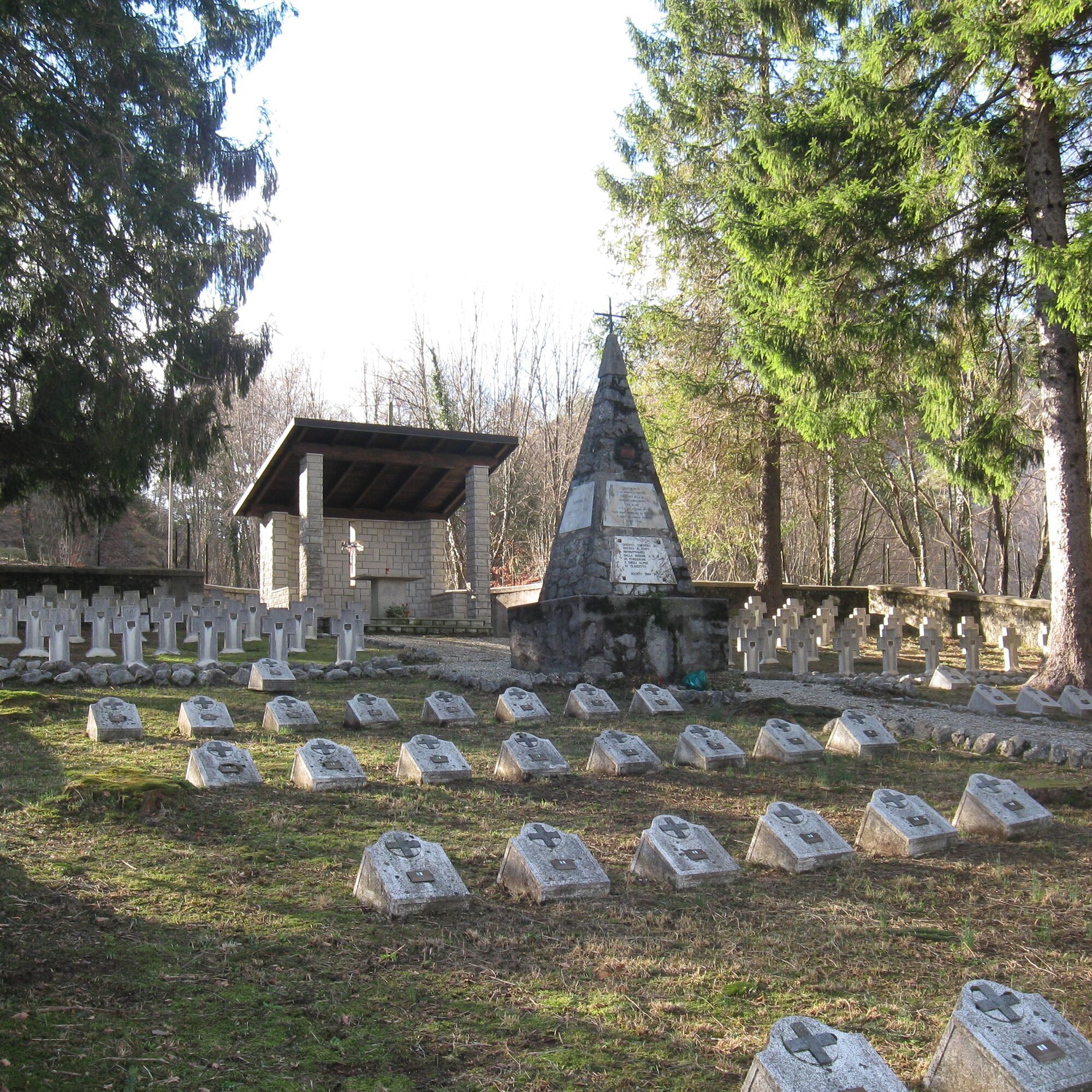
Between Pielungo and Pradis, now in the province of Pordenone, on 5–6 November 1917 the Italian troops of the Carnia Zone attempted to break through the Austro-German encirclement and open a passage towards the plain. The well-signposted trail recalls this episode and leads visitors to several related remains. From the village of Pielungo, the route climbs along the ridge of Sompielungo to the place where one of the main clashes began. It then continues along a cart track descending towards a chapel flanked by the commemorative plaque of an Italian officer. A short and easy detour nearby leads to the remains of the German war cemetery overlooking the hamlet of Forno. Rejoining the main trail, you enter the setting of the Battle of Pradis: the mule track passes the hamlet of Fumatins and reaches the Val da Ros Military Cemetery and the nearby saddle of the same name. By retracing the path, you return to Pielungo. Alternatively, the route can be done with two cars, leaving one at the starting point and the other at the arrival point. By following the trail back, you return to Pielungo. Alternatively, the trail can be accessed with two cars, one to be left at the starting point and the other at the arrival point


Da
Suitable sportswear, footwear appropriate for uneven ground and trekking poles are recommended. Visitors are also advised to bring an adequate supply of water.
The trail can be followed all year round; always check the weather forecast.
T1
It is recommended to combine the hike with a visit to the Memorial of the Battle of Pradis in Clauzetto, which can be reached by car.
Priljubljeni izleti v okolici
-
3.4
10 thousand health steps FVG -CAVAZZO CARNICO AND BORDANO
svetlobaPohodništvo 8.68 km -
4.7
Monte Cuar loop
srednjaPohodništvo 7.26 km -
4.4
Brancot, Palantarins e Tre Corni da Braulins
srednjaPohodništvo 8 km -
FVG3 Kolesarska pot Pedemontana (C300)
težkoKolesarjenje na dolge razdalje 182.0 km -
4.0
Pot okoli jezera Cavazzo (R017)
srednjaKolesarjenje na dolge razdalje 32.3 km -
5.0
PATH OF THE POZZE SMERALDINE
svetlobaPohodništvo 6.77 km -
Loop of Monte di Ragogna
srednjaPohodništvo 11.9 km -
5.0
Monte Prat loop from Cornino
srednjaPohodništvo 15.2 km -
Palcoda in Tamar, zapuščeni vasi
srednjaPohodništvo 8.38 km -
From Sella Chianzutan to Colle dei Larici, the route of red marble
srednjaPohodništvo 10.5 km
Pohodništvo in sledenje


Ne zamudite ponudb in navdiha za naslednje počitnice
Vaš e-poštni naslov je bil dodan na poštni seznam.





