





Monte Prat loop from Cornino
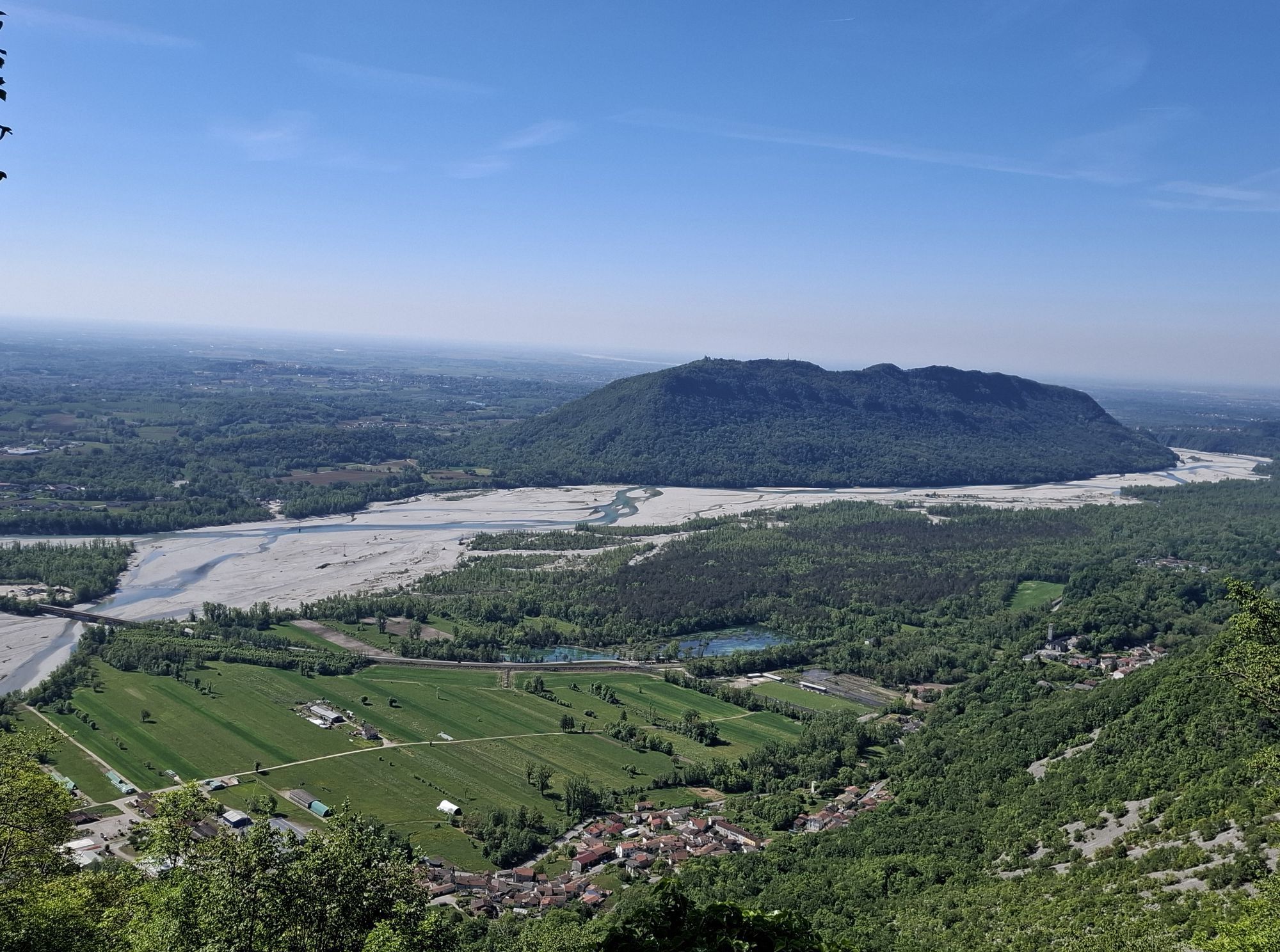
Walking along the alleys of the village of Sompcornino, you discover a fascinatingrural village born around the oratory of San Vincenzo Ferreri, built in 1779. This settlement develops along winding roads,...
Walking along the alleys of the village of Sompcornino, you discover a fascinatingrural village born around the oratory of San Vincenzo Ferreri, built in 1779. This settlement develops along winding roads, with houses that reveal a clear farming origin, evident from the use of simple materials and traditional structures like wooden balconies.
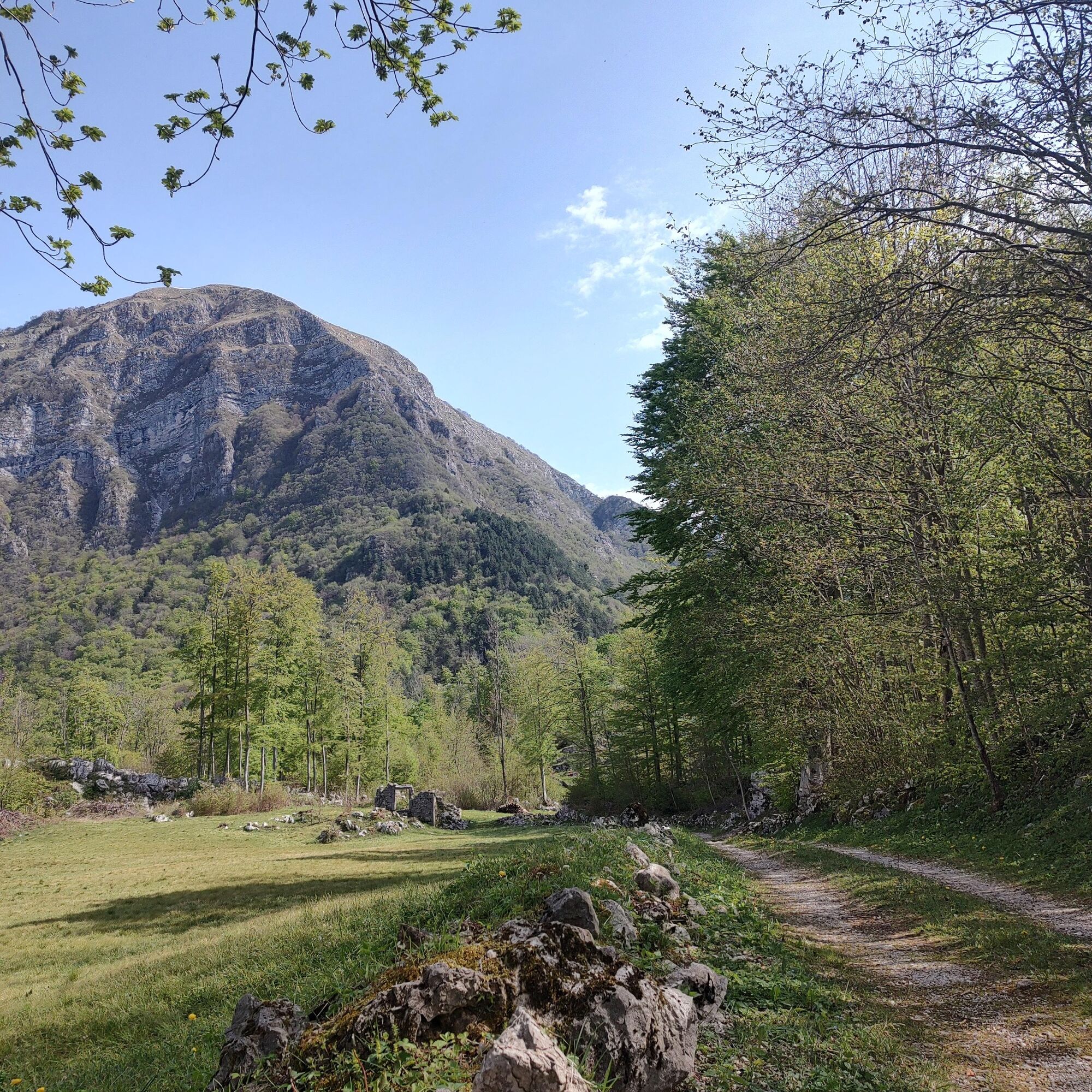
Climbing up the plateau of Monte Prat, located at about 850 meters in the municipality of Forgaria, you discover a charming landscape. Once used as a summer refuge for livestock, today it features renovated stone houses and tourist accommodations. The area is surrounded by dry stone walls and more than 40 km of marked trails winding through beech woods and lush pastures. Here, the harmony between man and land is felt through ancient flavors and traditions, witnesses of the local culture.
Tourism, respectful of the nature characterizing the place, finds at Monte Prat a cutting-edge hospitality formula.
Between April and May, the landscape colors withblooms of dogwood and corvine pear bushes, while violets, periwinkles, blue muscari, and burrage sprout from the ground, enriching this corner of paradise.
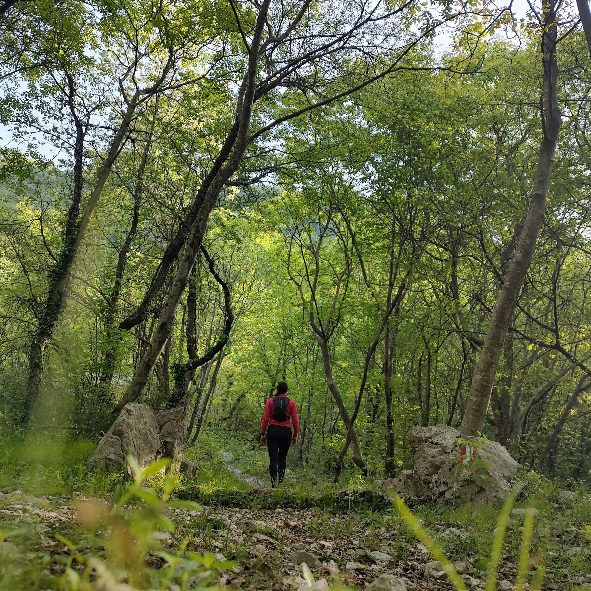
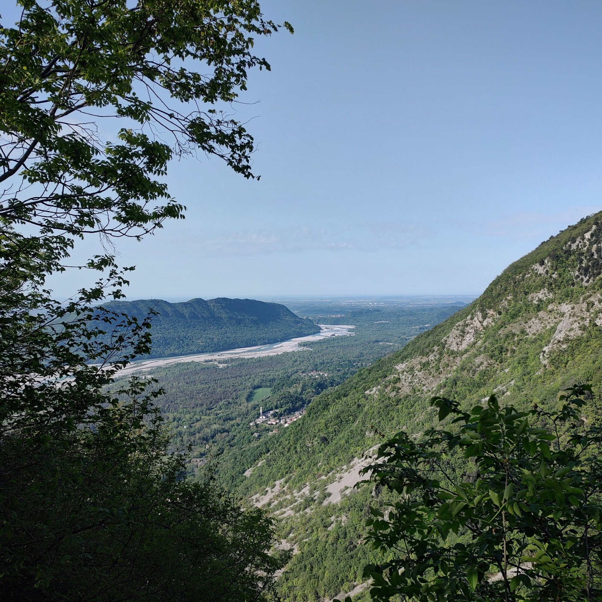
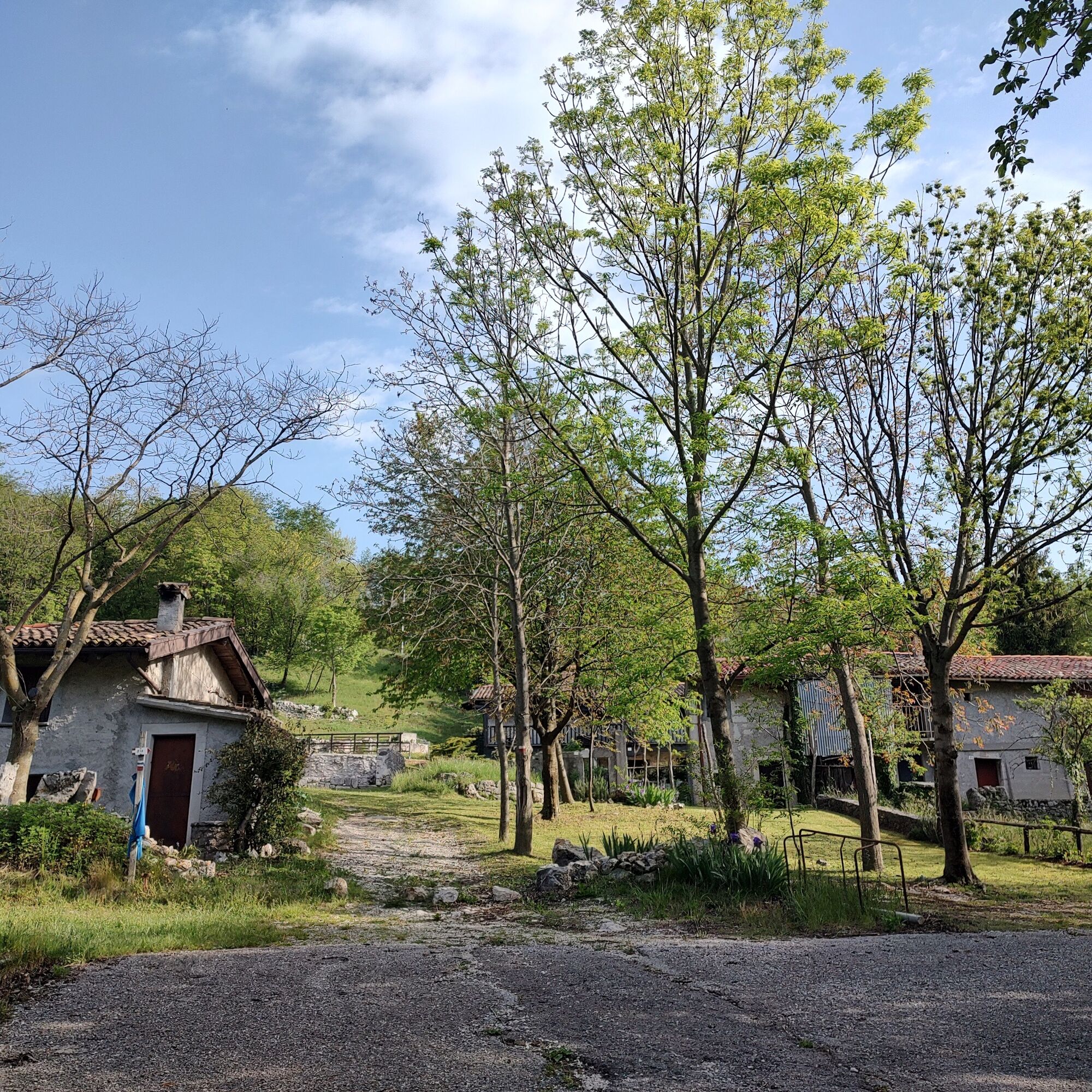
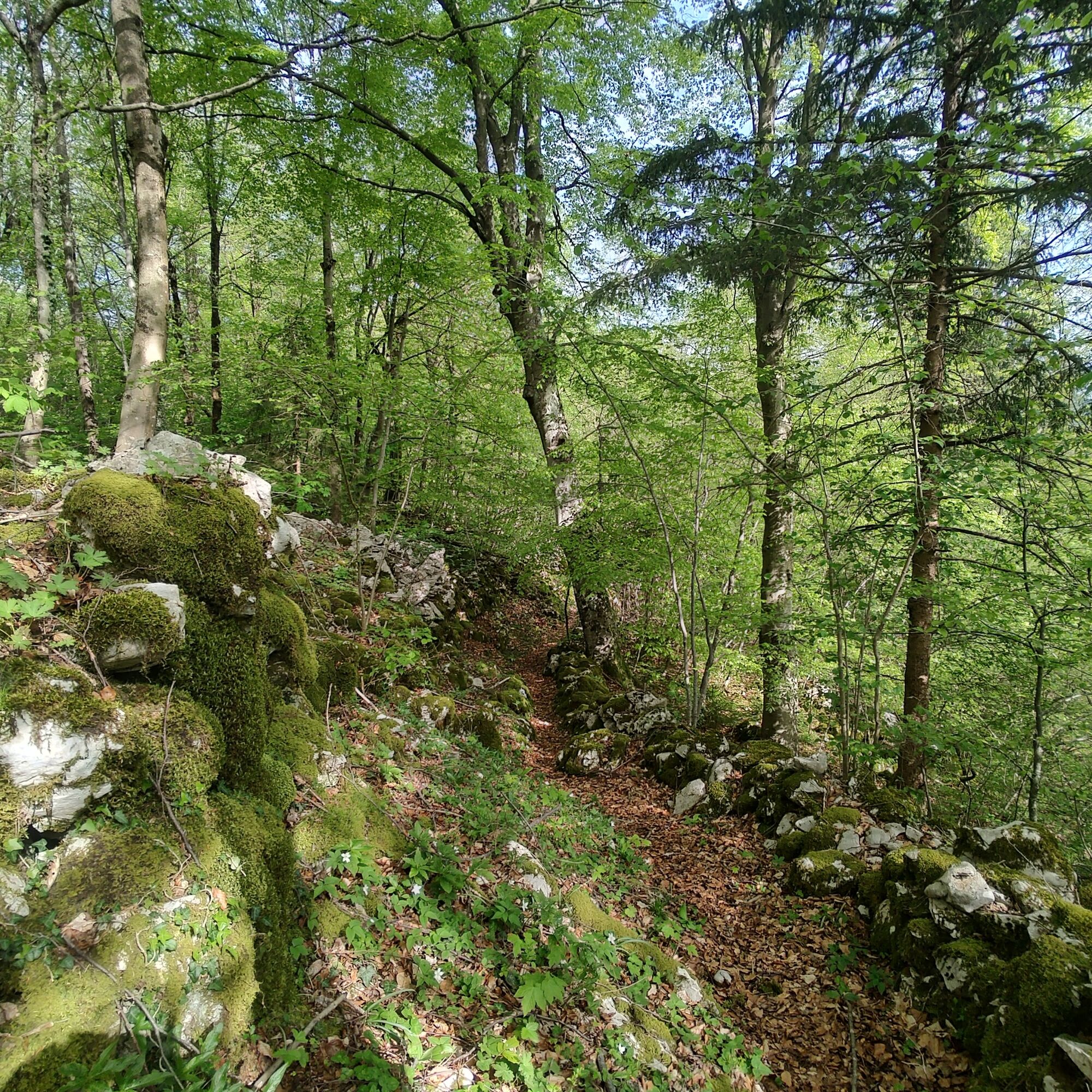

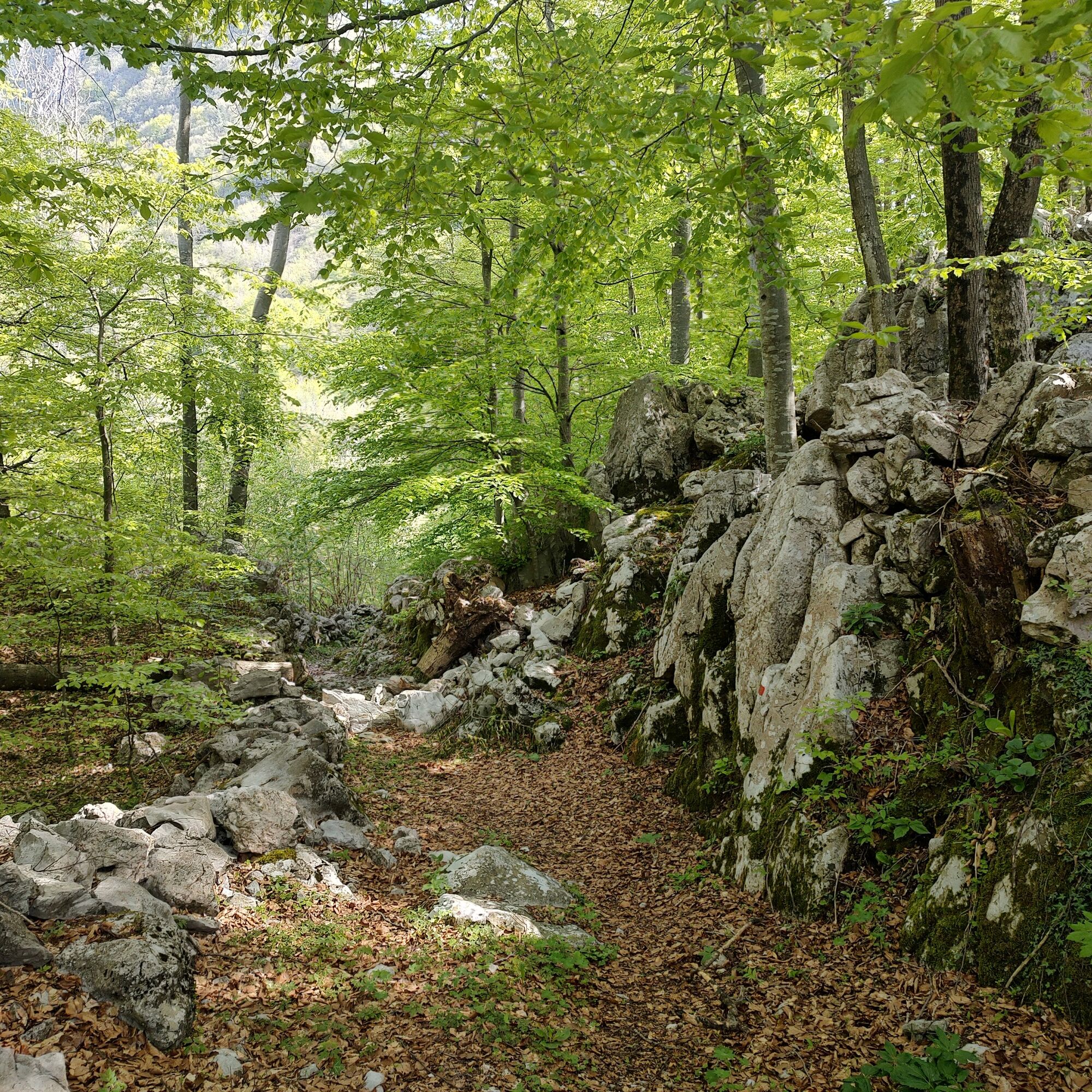

Once you reach the paved road, be careful to follow the red and white markers between the houses and continue along the path until the crossroads where you take Via Agar, which descends northwards, but leave it immediately in favor of the path that continues with ups and downs through woods, pastures, and dry stone walls until it reconnects with the road. From here, continue always northwards along the dirt road and the clear tracks (be careful not to lose the track if there are restoration works).
At the fork with the road descending from Cuel di Forcja near two small ponds, take the road west, soon leaving it for the CAI 816 path on the left which, with various ups and downs among stone walls and houses, descends reaching Via Borgna, along which we continue until the settlement of Monte Prat where there is a refreshing fountain.
Continue along Via Prat Centro, reaching the CAI 818 path on the right after the last houses.
Continuing along this path and not diverting to others, you reach Via Ledrania reconnecting with the route taken uphill, from where you can return to the cars.
Da
Da
Ordinary hiking according to the season.
The route is not recommended in summer months due to the low altitude and high sun exposure.
Due to the dense network of trails, it is recommended to carefully follow the provided route.
Along the loop, water sources are scarce; on particularly hot days, consider carrying an adequate amount of drinking water.
Starting from Majano or San Daniele del Friuli, follow the signs for Forgaria, crossing the Tagliamento river on the Cornino bridge. Once you have crossed the bridge, turn right following the signs for Trasaghis until you reach Somp Cornino. Here, change direction and take the road on the left that goes up towards Forgaria. Continue for about 400 meters until you find the start of the CAI 817 trail marker, located at 186 meters altitude, where there is also a small parking lot on Via della Resistenza.
The village of Somp Cornino is easily reachable by public transportation.
Small parking lot on Via della Resistenza in Somp Cornino.
If you want to shorten the route, it is possible to drive up to Monte Prat village and continue from there with a smaller loop.
At Cornino it is possible to visit the Cornino Lake Nature Reserve, an enchanting place characterized by a crystal-clear lake fed by underground springs and a unique flora. Also important is the Griffon Project, dedicated to the reintegration of the Griffon Vulture (Gyps fulvus), a majestic vulture known as 'the condor of Curnin'.

Priljubljeni izleti v okolici
- 4.3
Monte Festa, a mountain rich in history
srednjaPohodništvo 13.5 km - 4.8
Monte Cuar loop
srednjaPohodništvo 7.26 km - 3.5
10 thousand health steps FVG -CAVAZZO CARNICO AND BORDANO
svetlobaPohodništvo 8.68 km - 4.0
Mount Cuarnan
svetlobaPohodništvo 4.81 km - 5.0
Venzone - Udine (C102)
srednjaKolesarjenje na dolge razdalje 56.7 km - 4.5
Gemona
srednjaMountainbike 20.6 km - 5.0
Waterfalls trail in the valley of the Orvenco stream
srednjaPohodništvo 8.90 km FVG3 Kolesarska pot Pedemontana (C300)
težkoKolesarjenje na dolge razdalje 182.0 km- 4.8
Brancot, Palantarins e Tre Corni da Braulins
srednjaPohodništvo 8 km - 4.0
Obroč ob jezeru Cavazzo (R017)
srednjaKolesarjenje na dolge razdalje 32.3 km
Pohodništvo in sledenje


Ne zamudite ponudb in navdiha za naslednje počitnice
Vaš e-poštni naslov je bil dodan na poštni seznam.





