


Route of the fortified complex of Mount Ragogna
Stopnja težavnosti: T2
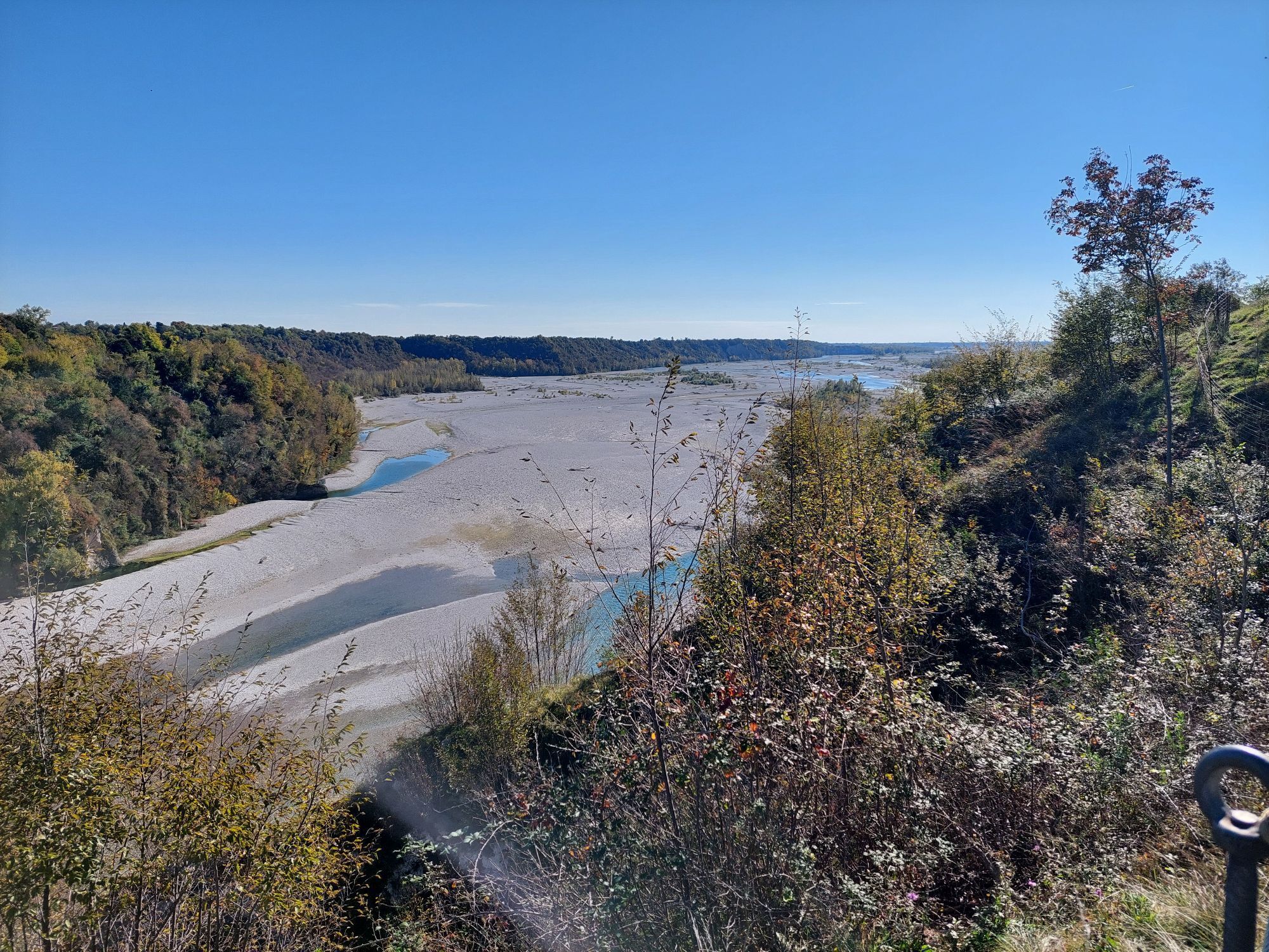
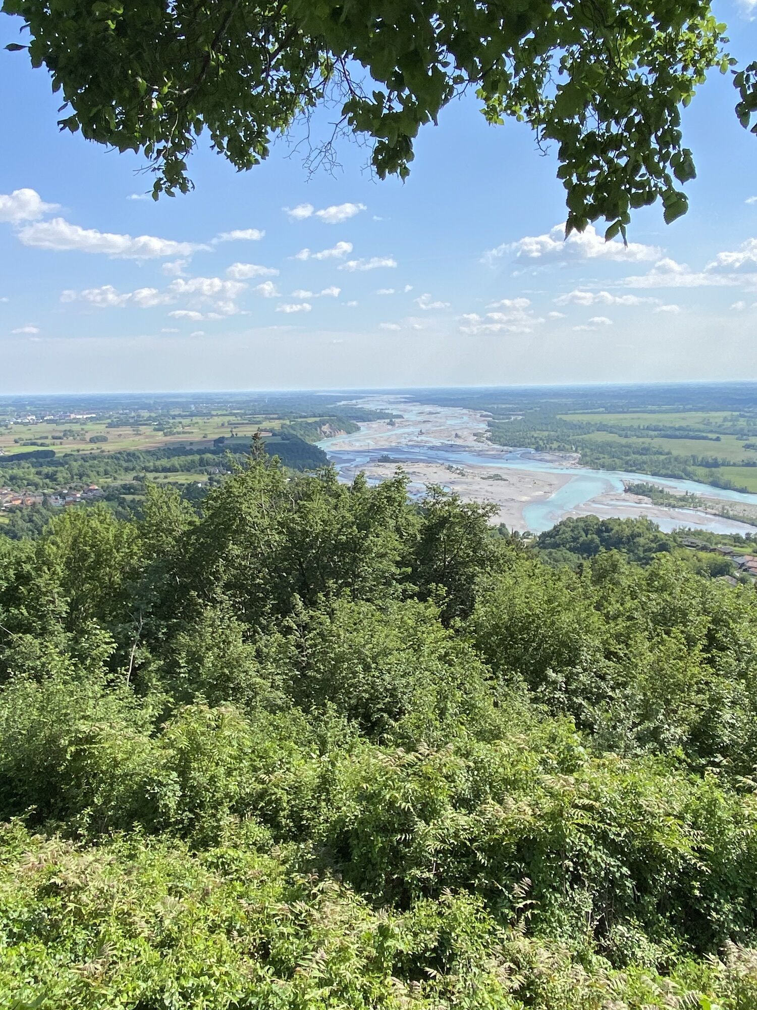
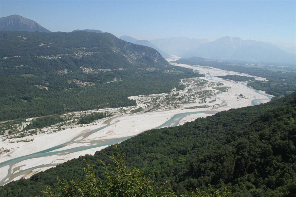
Monte di Ragogna (512 m), fortified before and during the First World War, was the scene of an important battle during the retreat after Caporetto in the autumn of 1917. Here, the “Bologna” Brigade made...
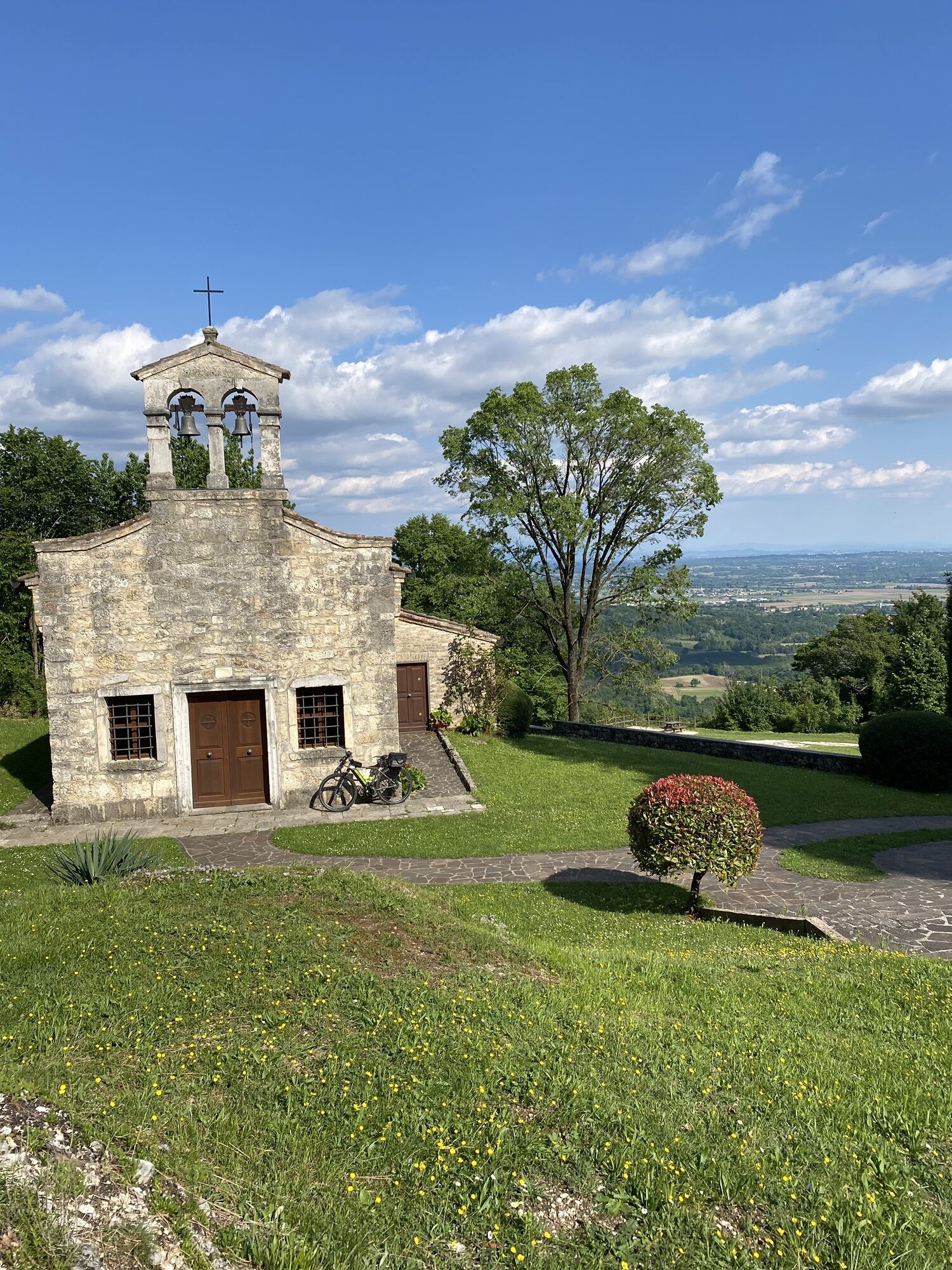
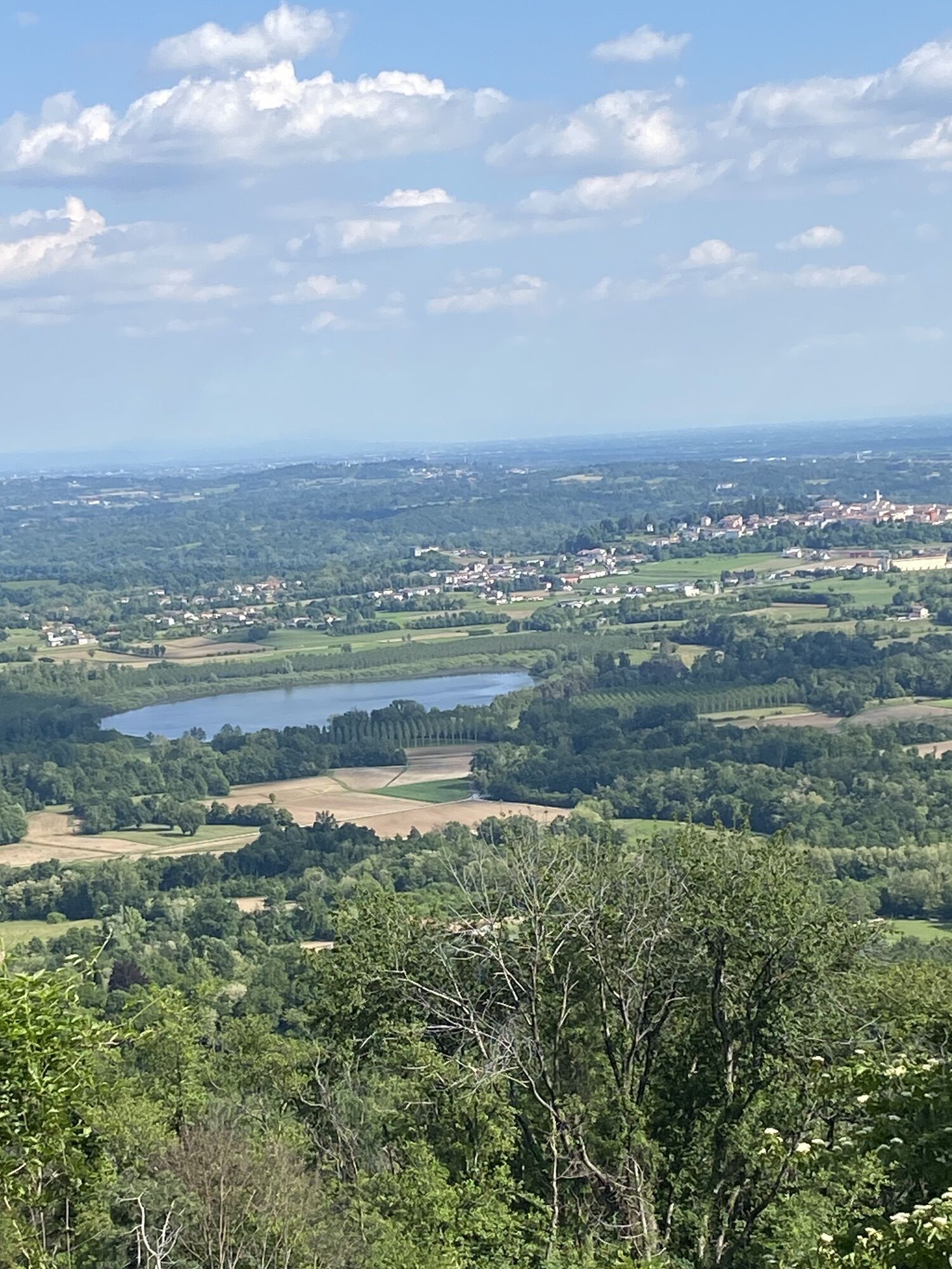
Monte di Ragogna (512 m), fortified before and during the First World War, was the scene of an important battle during the retreat after Caporetto in the autumn of 1917. Here, the “Bologna” Brigade made its last stand, sacrificing itself in a stubborn defence that halted the Austro-German advance for several days. A well-signposted route crosses the battlefield: from the hamlet of Tabine, the path climbs to Reunia Castle and the permanent battery “Ragogna Bassa”, where pencil inscriptions left by soldiers can still be seen in the ammunition shelters. The trail, which follows the panoramic ridge of the mountain, then leads to the “Ragogna Alta” Battery, the “Forte del Cavallino”, the Alpine chapel “Julia”, and the memorial to the fallen of the “Galilea”. Following the trenches, the route finally reaches the entrenched strongpoints of Cret dal Louf and Spice, before descending along the paved road to the village of Muris.

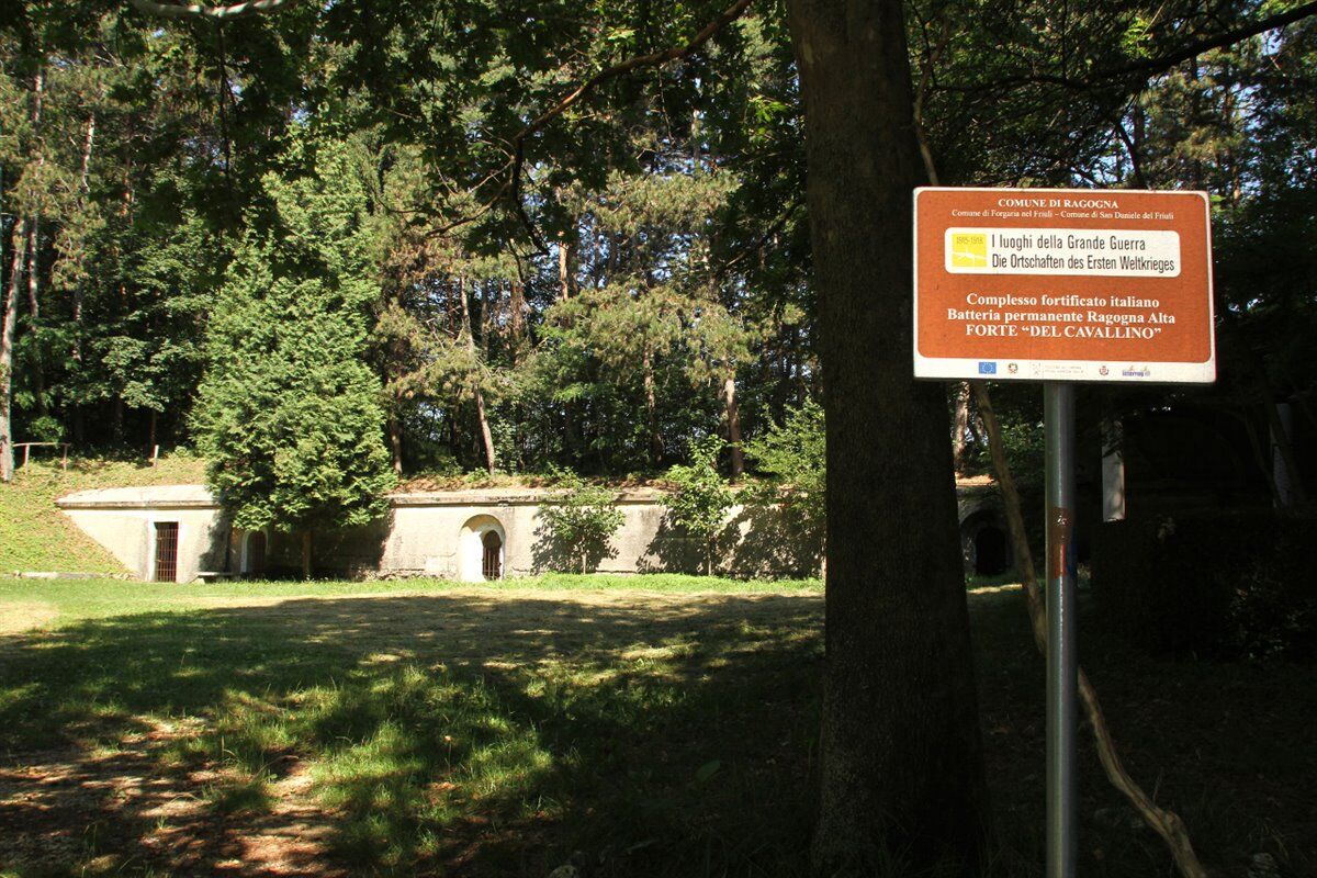
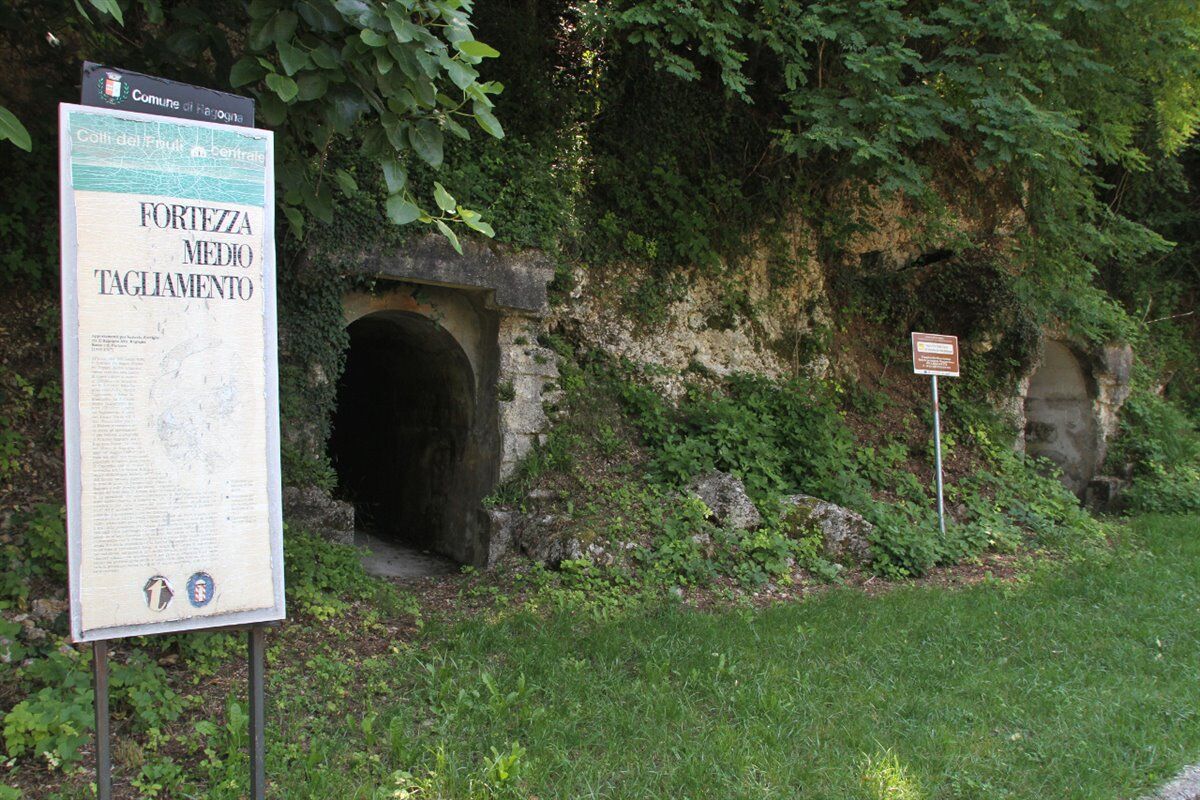
After passing through the centre of Ragogna (for those arriving from the SS463), turn left into Via Bologna and continue along Via Tagliamento until you reach the hamlet of Tabine, the starting point of this itinerary. The walk towards the bridge over the Tagliamento follows the road leading to the hamlet of San Pietro and Reunia Castle, where the actual visit to the mountain begins. Along this route, several remains of particular interest can be seen, starting with the permanent battery “Ragogna Bassa” and continuing to the ammunition shelters and casemates, where some pencil inscriptions made by soldiers during their stay are still visible. The trail then continues along the ridge of the mountain and ends on the north-eastern crest, where the permanent battery “Ragogna Alta”, the armoured powder magazines and Forte del Cavallino are located, at 482 metres above sea level. Following the second-line trenches near the little church of San Giovanni, visitors reach the strongpoints of Cret dal Louf and Spice. From here, the route returns to the paved road and descends towards the hamlet of Muris, running alongside the most advanced trenches that conclude this first itinerary.
Suitable sportswear, footwear appropriate for uneven ground and trekking poles are recommended. Visitors are also advised to bring an adequate supply of water.
Trail accessible all year round, pay attention to weather forecasts
From the A23 motorway take the Udine nord exit and continue along the state road SS464 towards Spilimbergo. At Fagagna, turn right onto the provincial road SP5 towards San Daniele del Friuli and then in the direction of Ragogna. Always following SP5, in the locality San Giacomo, turn left onto Via Bologna and continue straight on Via Tagliamento until reaching the locality Tabine.
Bus parking available in the center of Ragogna.
T2
If you wish to avoid completing the circular route along the paved road (3.5 km), it is recommended to use two cars, leaving one in Loc. Tabine and the other in Muris. Coach parking is available in the centre of Ragogna.
It is recommended to combine the hike with a visit to the Great War Museum of Ragogna.
Priljubljeni izleti v okolici
- 4,8
Monte Cuar loop
srednjaPohodništvo 7,26 km - 5,0
Venzone - Udine (C102)
srednjaKolesarjenje na dolge razdalje 56,7 km FVG3 Kolesarska pot Pedemontana (C300)
težkoKolesarjenje na dolge razdalje 182,0 km- 4,8
Brancot, Palantarins e Tre Corni da Braulins
srednjaPohodništvo 8 km - 5,0
Monte Prat loop from Cornino
srednjaPohodništvo 15,2 km Loop of Monte di Ragogna
srednjaPohodništvo 11,9 kmPalcoda in Tamar, zapuščeni vasi
srednjaPohodništvo 8,38 kmParenzana Extended
srednjaMountainbike 422,0 kmObroč San Daniele del Friuli (R007)
srednjaKolesarjenje na dolge razdalje 31,4 kmMonte Valinis loop from Sottomonte
srednjaPohodništvo 8,41 km

Pohodništvo in sledenje


Ne zamudite ponudb in navdiha za naslednje počitnice
Vaš e-poštni naslov je bil dodan na poštni seznam.