


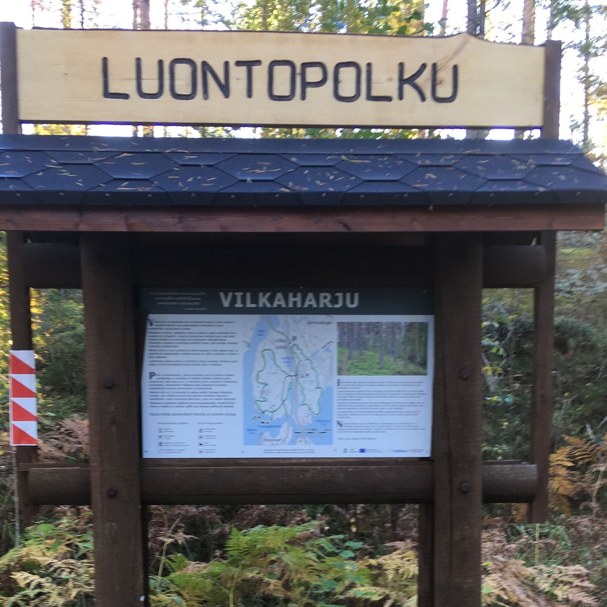
Vilkaharju nature trail and geological trail
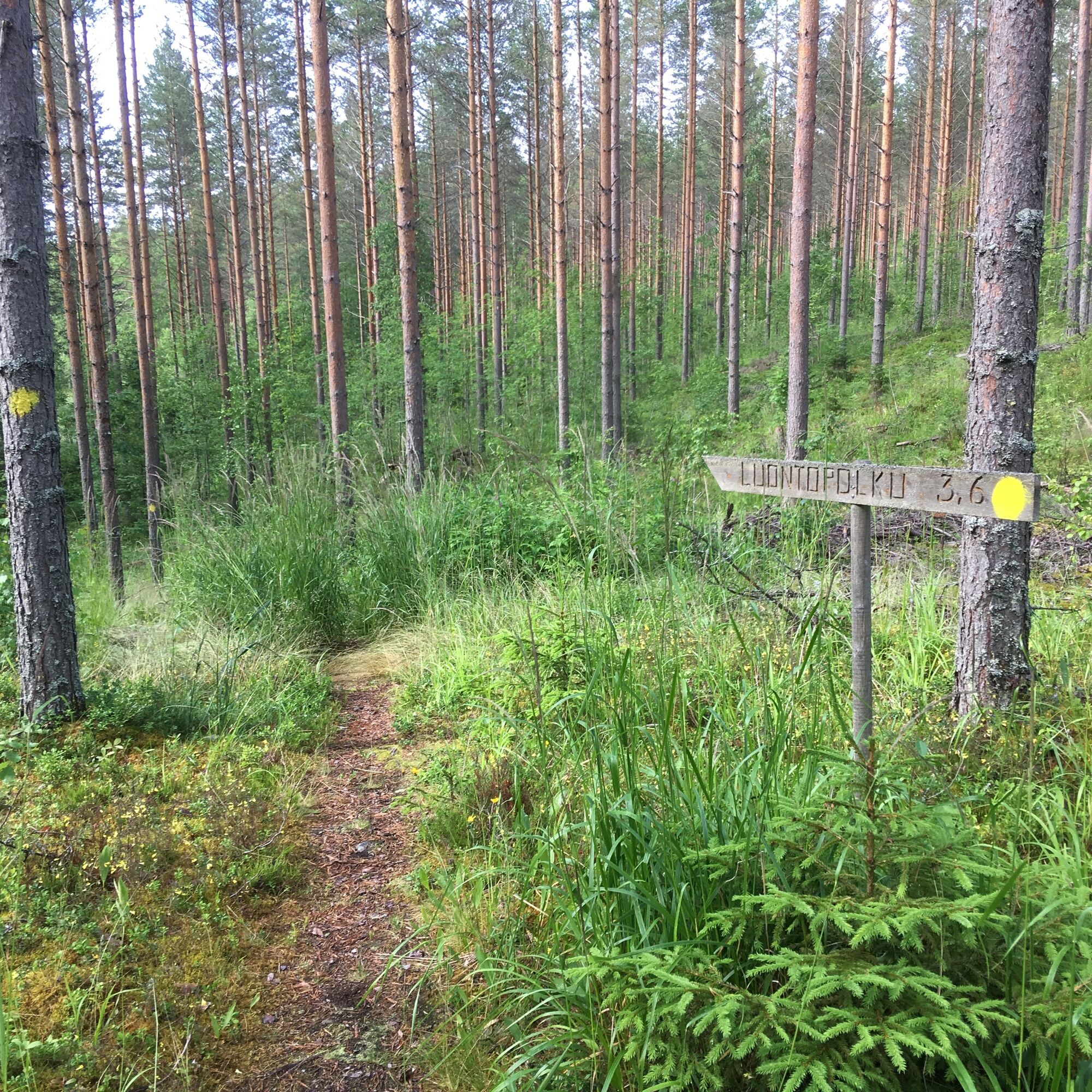
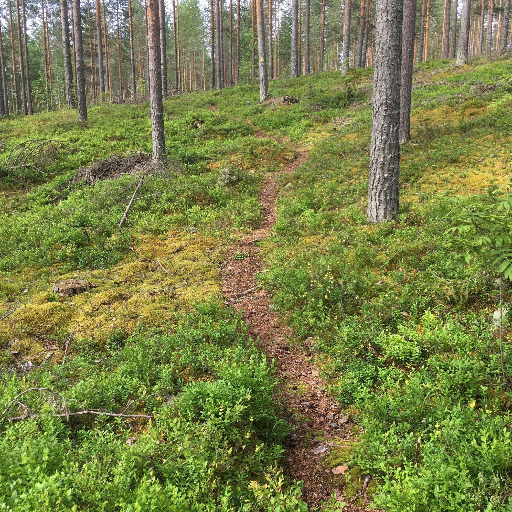
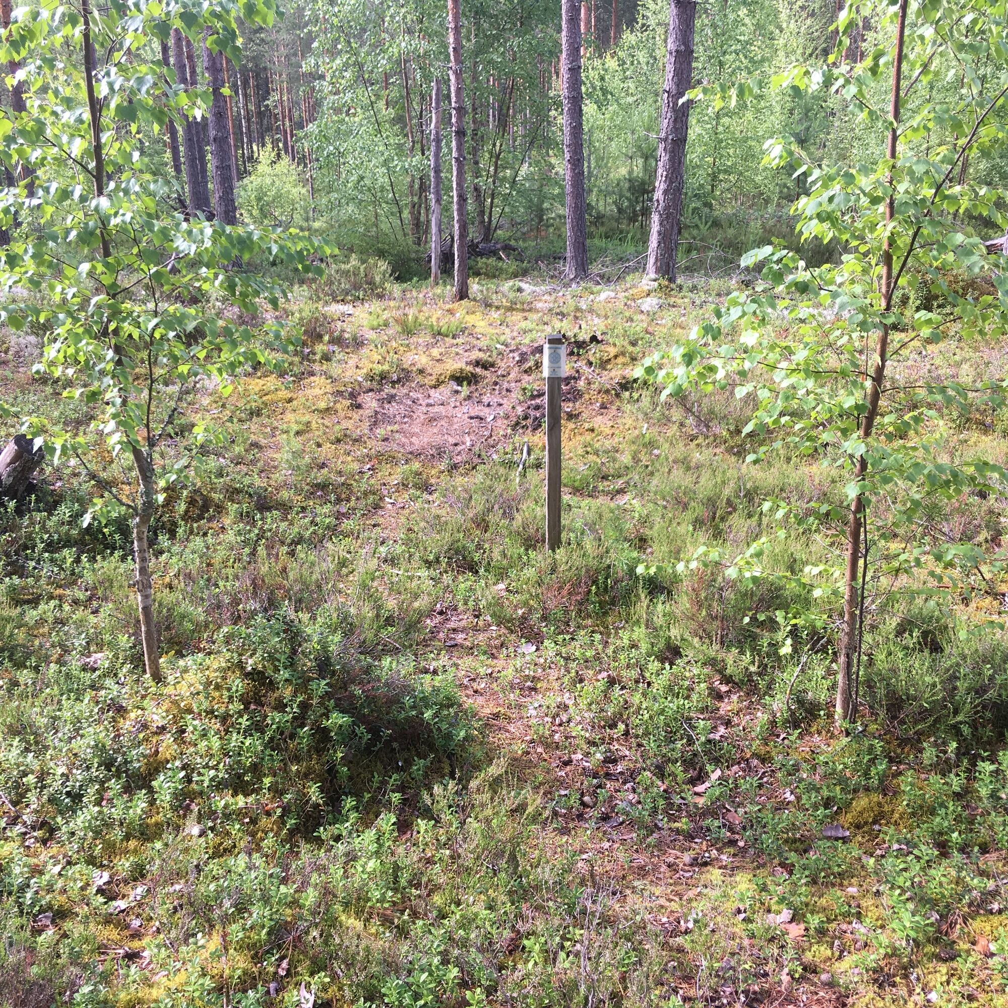
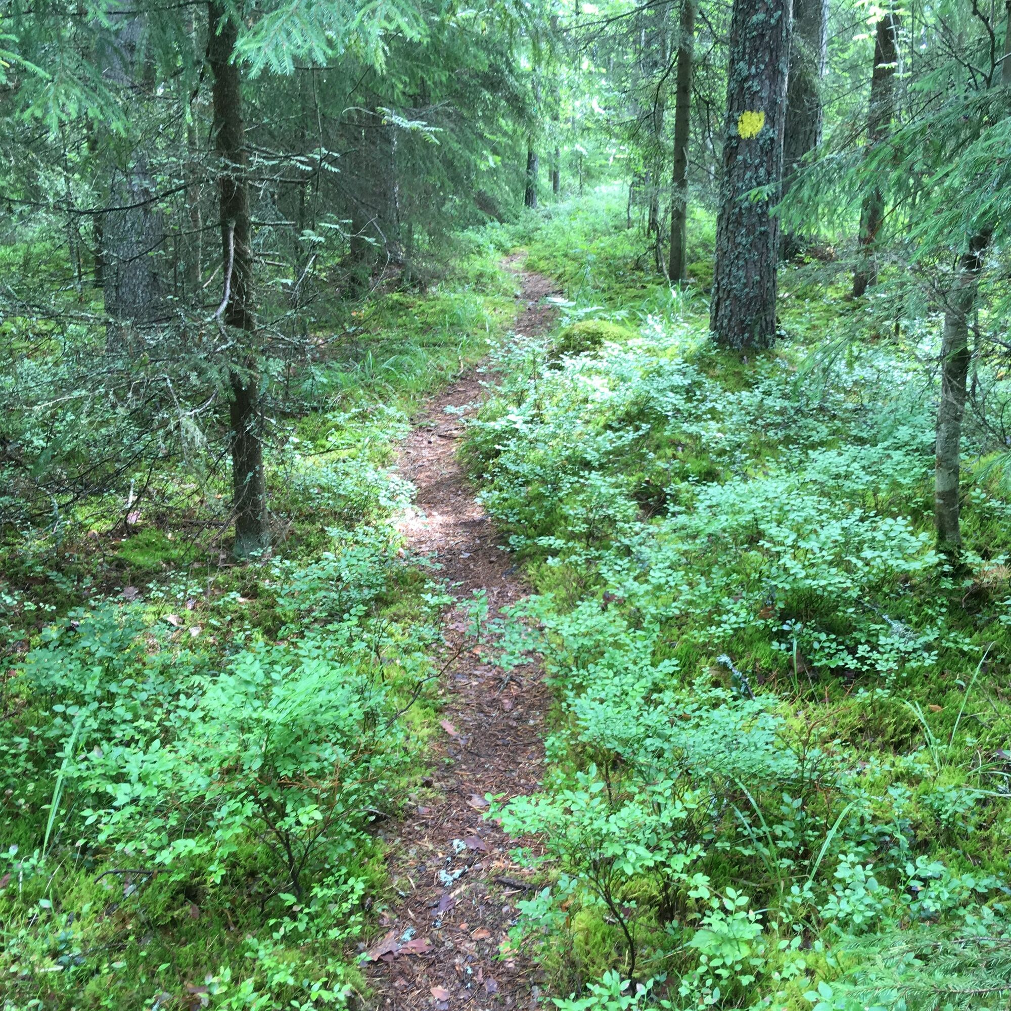
The Vilkaharju nature trail is a two-piece and the part one is about 3.1 km and the part two is about 3.6 km. The trail is marked with yellow spots. Each part can be rotated separately. The signs on...
The Vilkaharju nature trail is a two-piece and the part one is about 3.1 km and the part two is about 3.6 km. The trail is marked with yellow spots. Each part can be rotated separately. The signs on the paths tell about the meaning of the forest before and now. More information about the trail can be found on the signpost, which is located at the parking area at the intersection to Hopeasaari. The Vilkaharju esker terrain is Saimaa Geopark site, and a sign telling about the paths and the birth of the esker ridge can be found at the parking area.
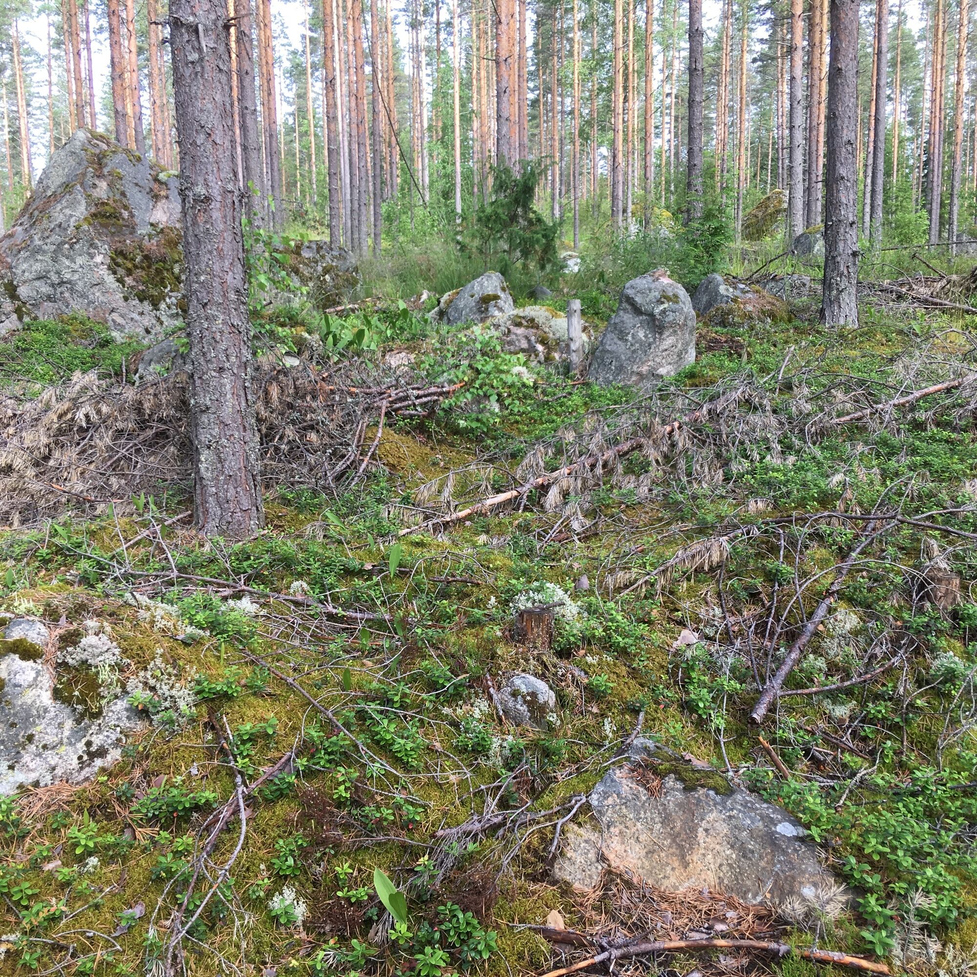
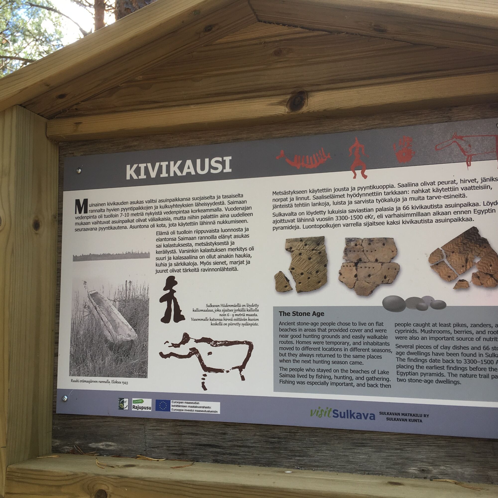
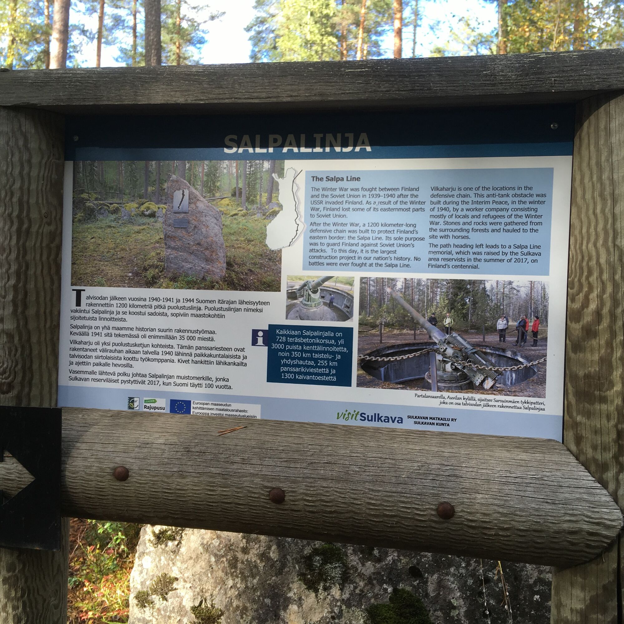
The nature trail leads past a Stone-Age dwelling site, rocky outcrops, erratic boulder and WWII anti-tank defences which are part of the Salpa Line. The Vilkaharju nature trail can also be reached from the municipal center of Sulkava. The connecting path starts along the Kuumienkivientie road, close to the apartment building. It is marked with red and yellow dots.
Saimaa Geopark sign at Vilkaharju (pdf)
Vilkaharju on Saimaa Geopark website
Vilkaharju nature trail (Visit Sulkava)

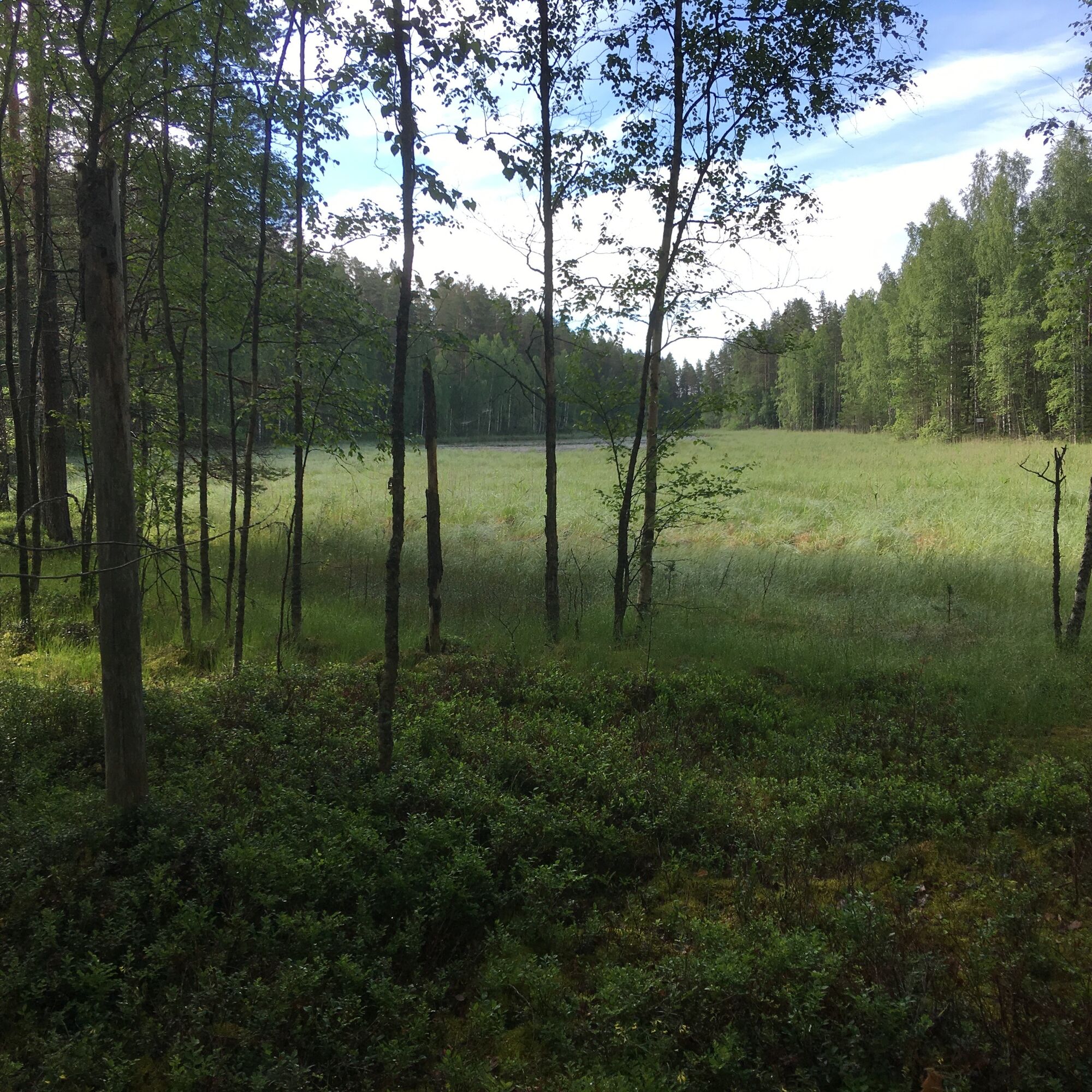
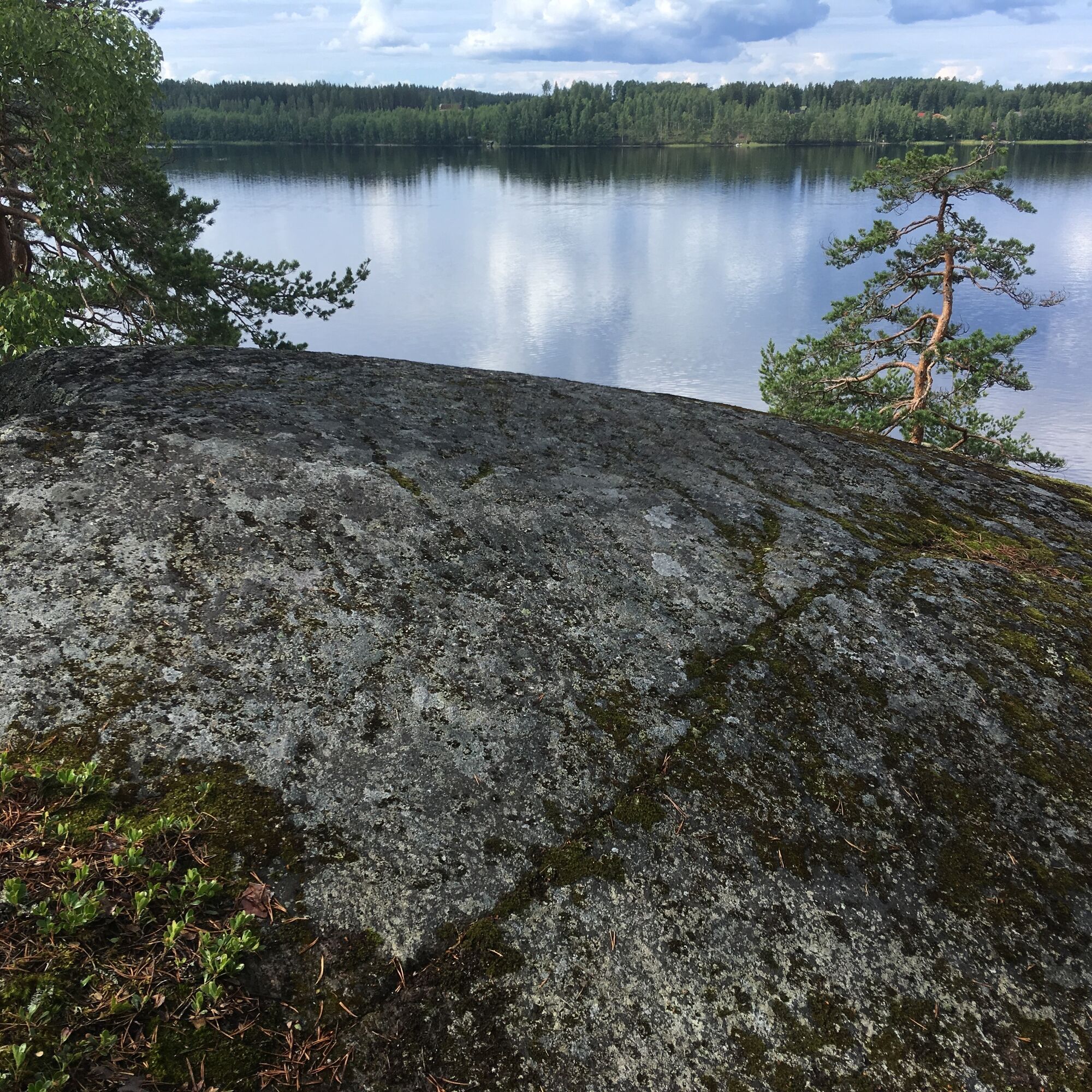
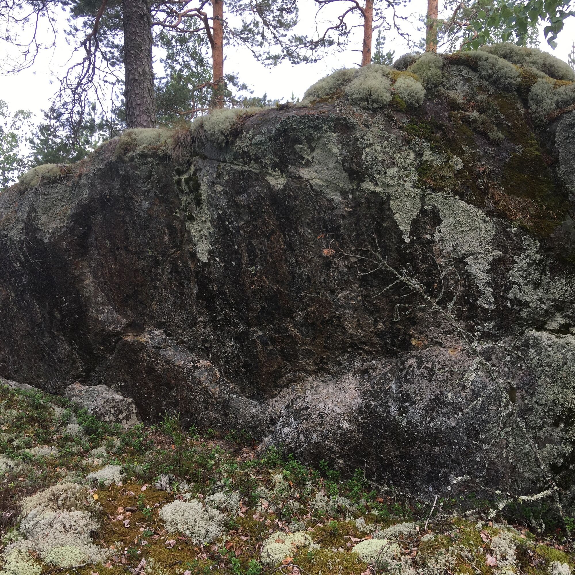
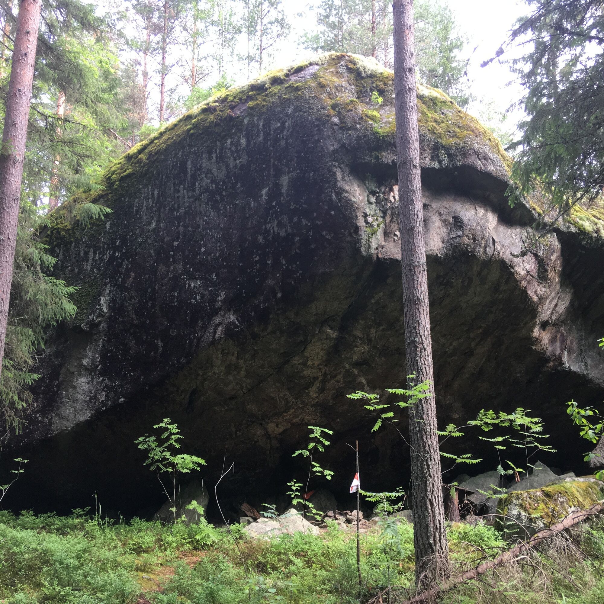
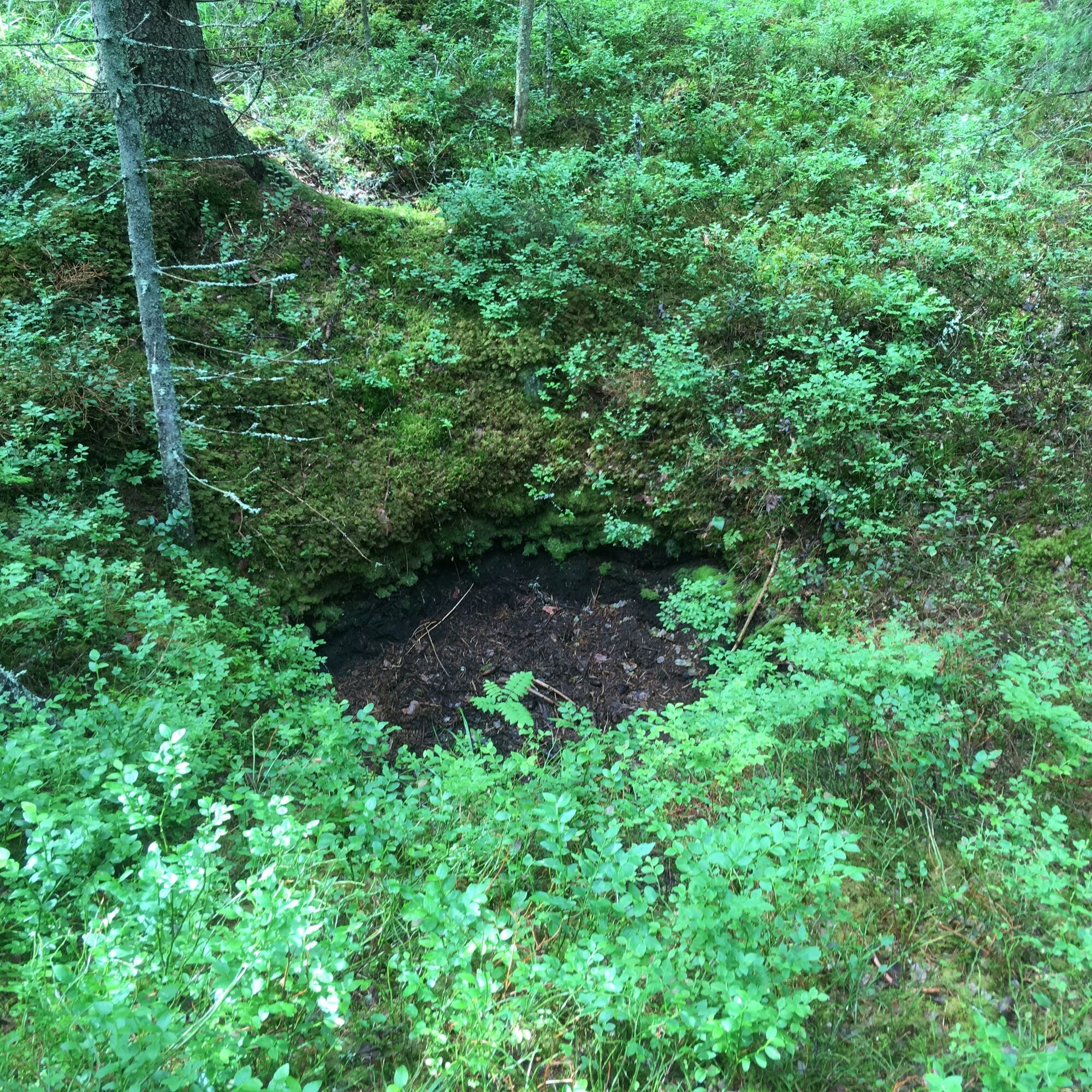
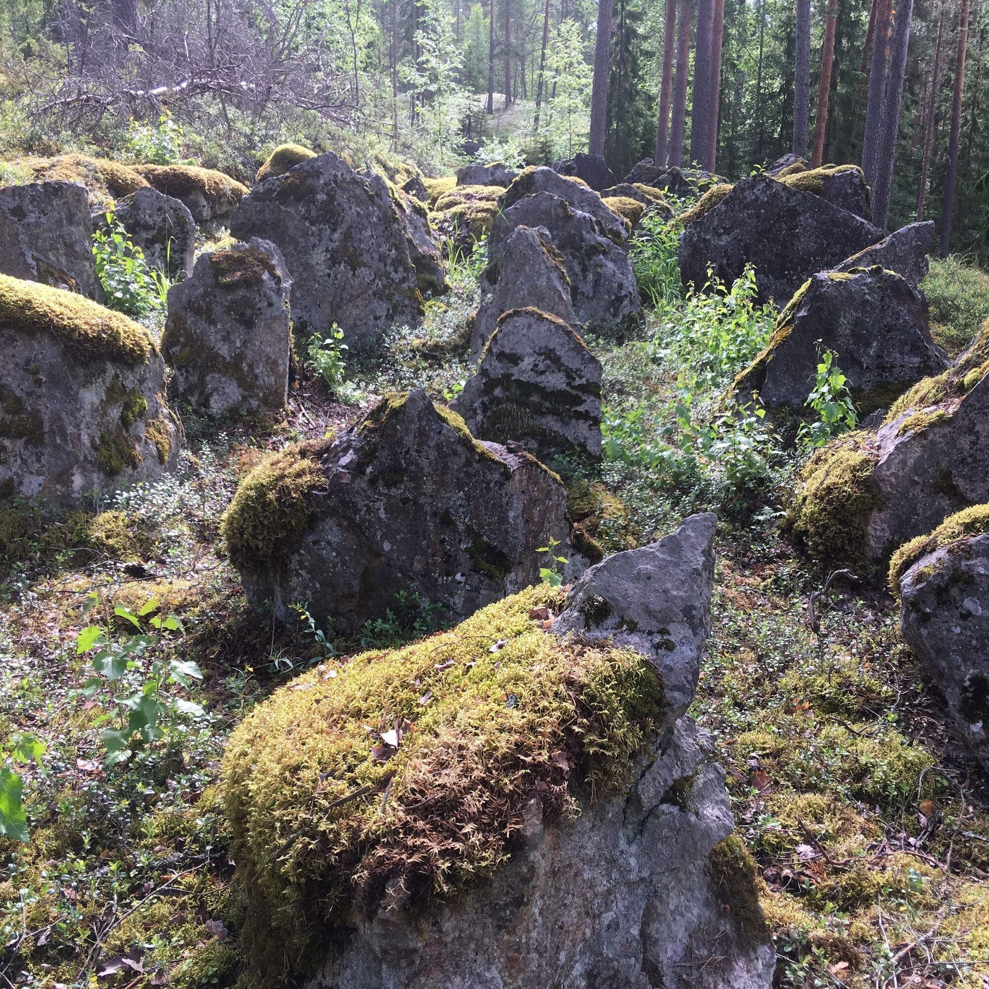
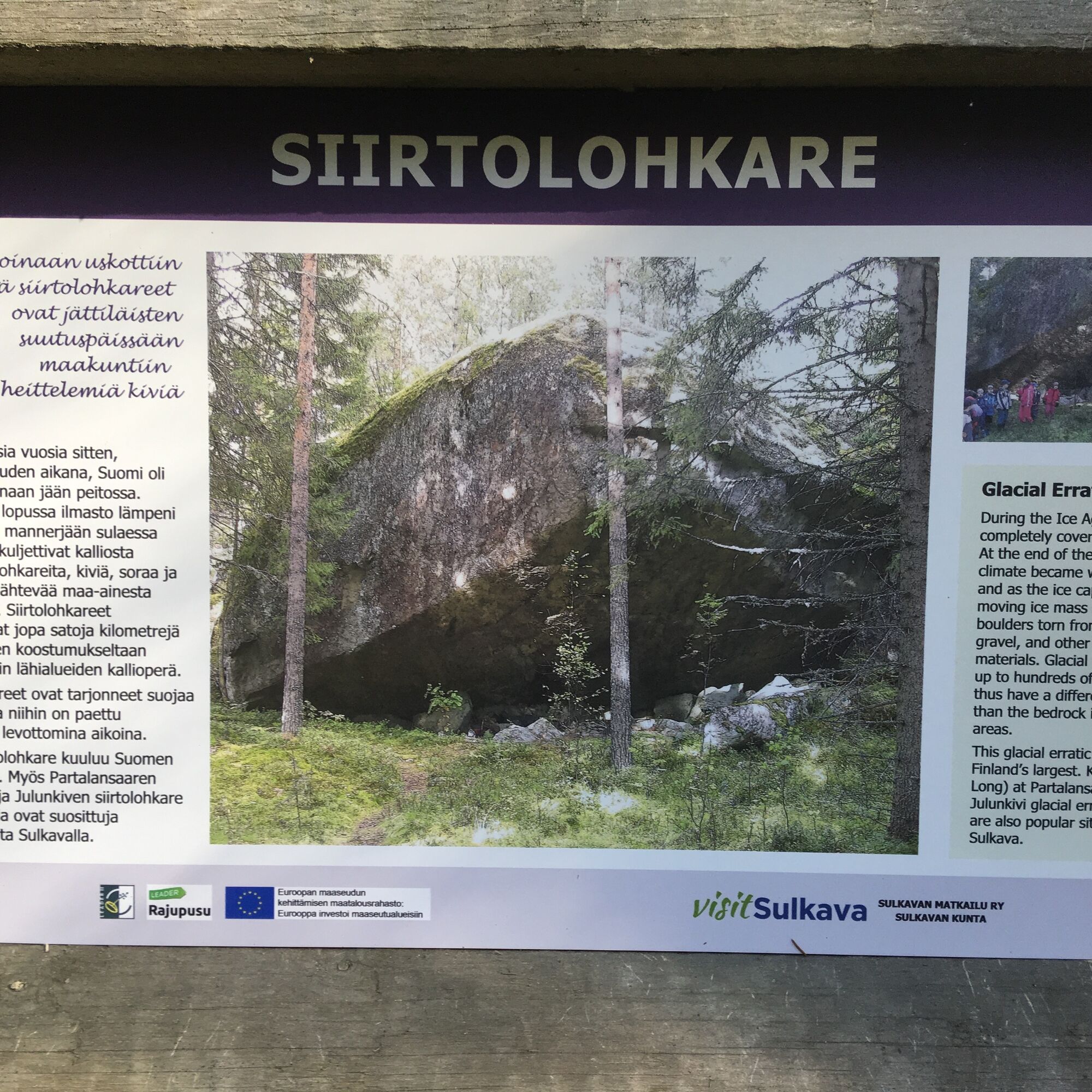
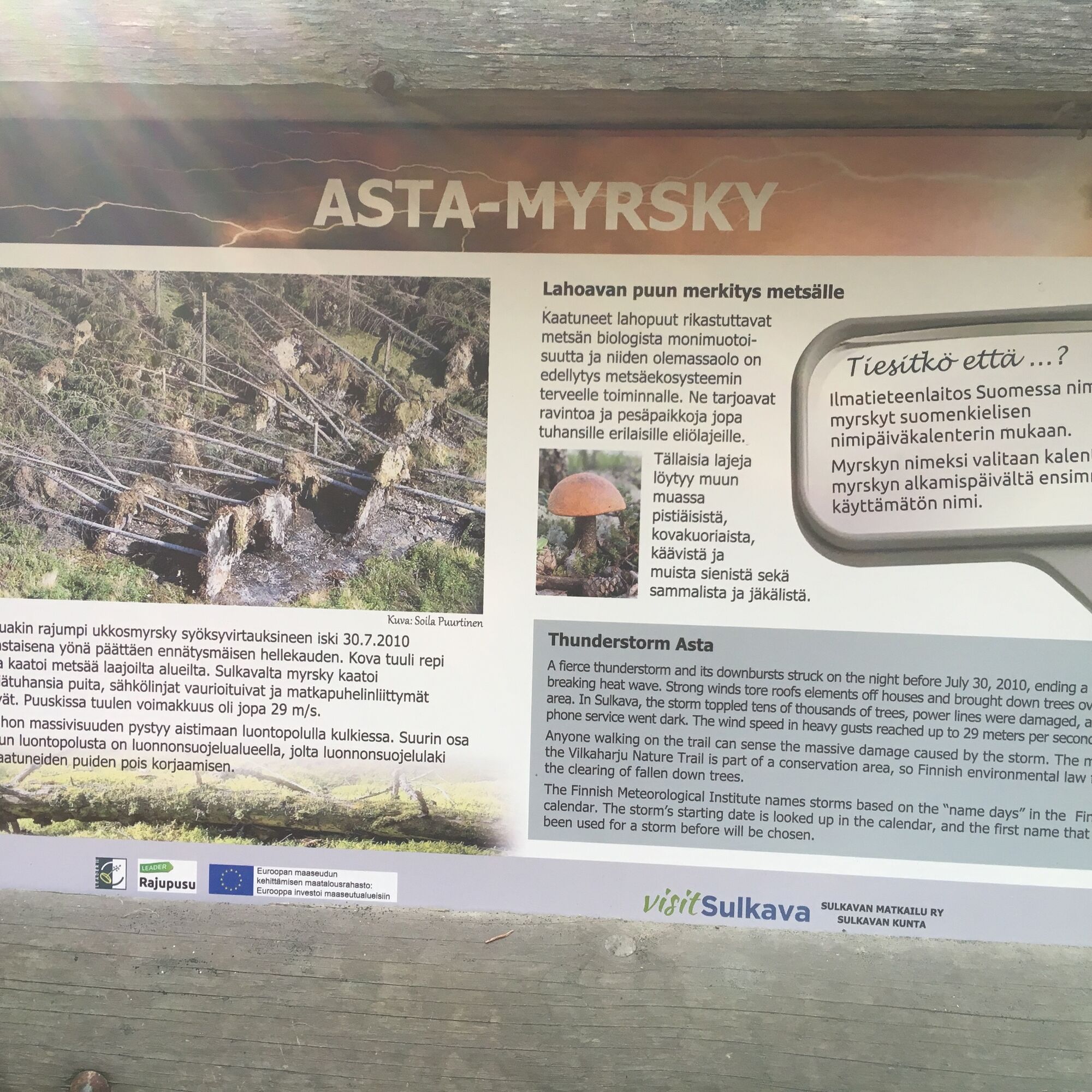
Along the nature trail on the side of the Vilkaharju parking area are damages of storm Asta from year 2010 and the Salpa Line stone barriers. The second loop of the nature trail runs west of the Vekarantie road and there you will find a large erratic boulder, landscape cliffs, a Stone Age dwelling site and a lean-to on the Toivotuksenlahti Bay. Please be careful when you cross the road from the parking area on the west side of the nature trail.
Da
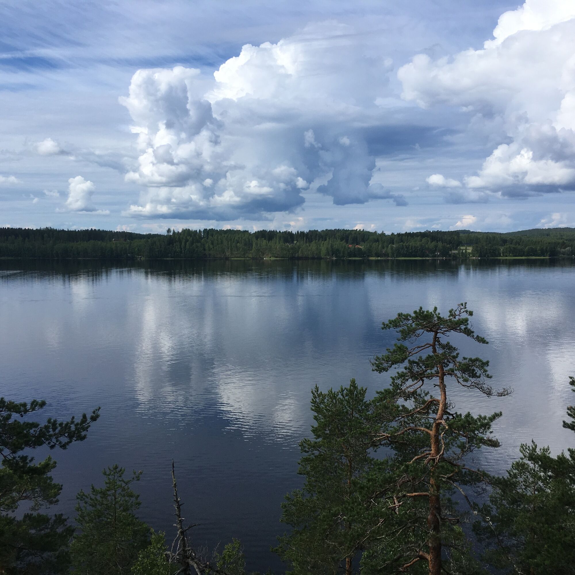
Vilkaharju Nature Reserve and nature trails are located on both sides of the Vekarantie road. The center of Sulkava is about 4.7 km from the Vilkaharju car park. Leaving the municipality center, drive over the Uitonvirta strait and along Vilkaharjuntie road until you reach the Vekarantie road junction, where you turn right. At this point, Vilkaharju car park is about 1.6 km away. The parking lot is on the left side of the road.
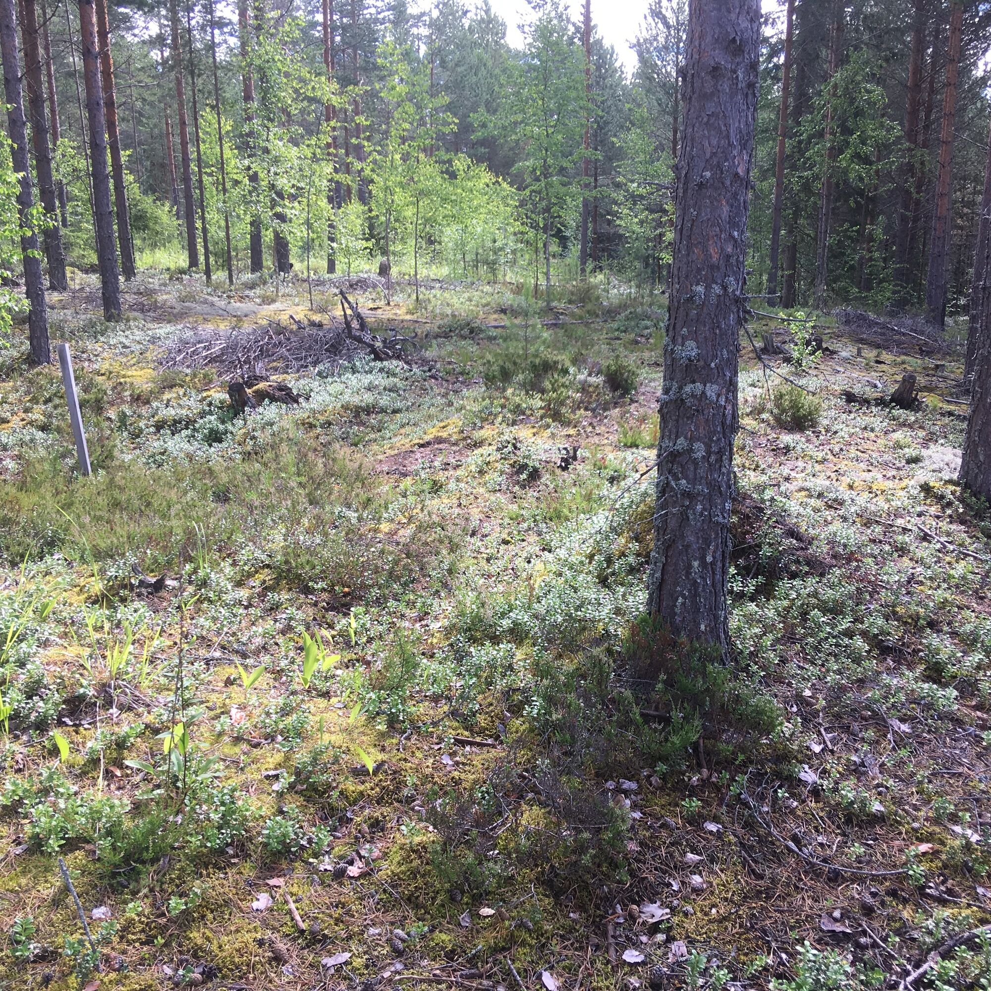
At the starting point of Vilkaharju nature trails there is a small parking space for cars.
At the northern edge of the Vilkaharju nature trails and to the east of the Vekarantie road, is the Salpa Line Monument and stone barriers.
More information about the other Saimaa Geopark's geological trails: Saimaa Geopark Activities
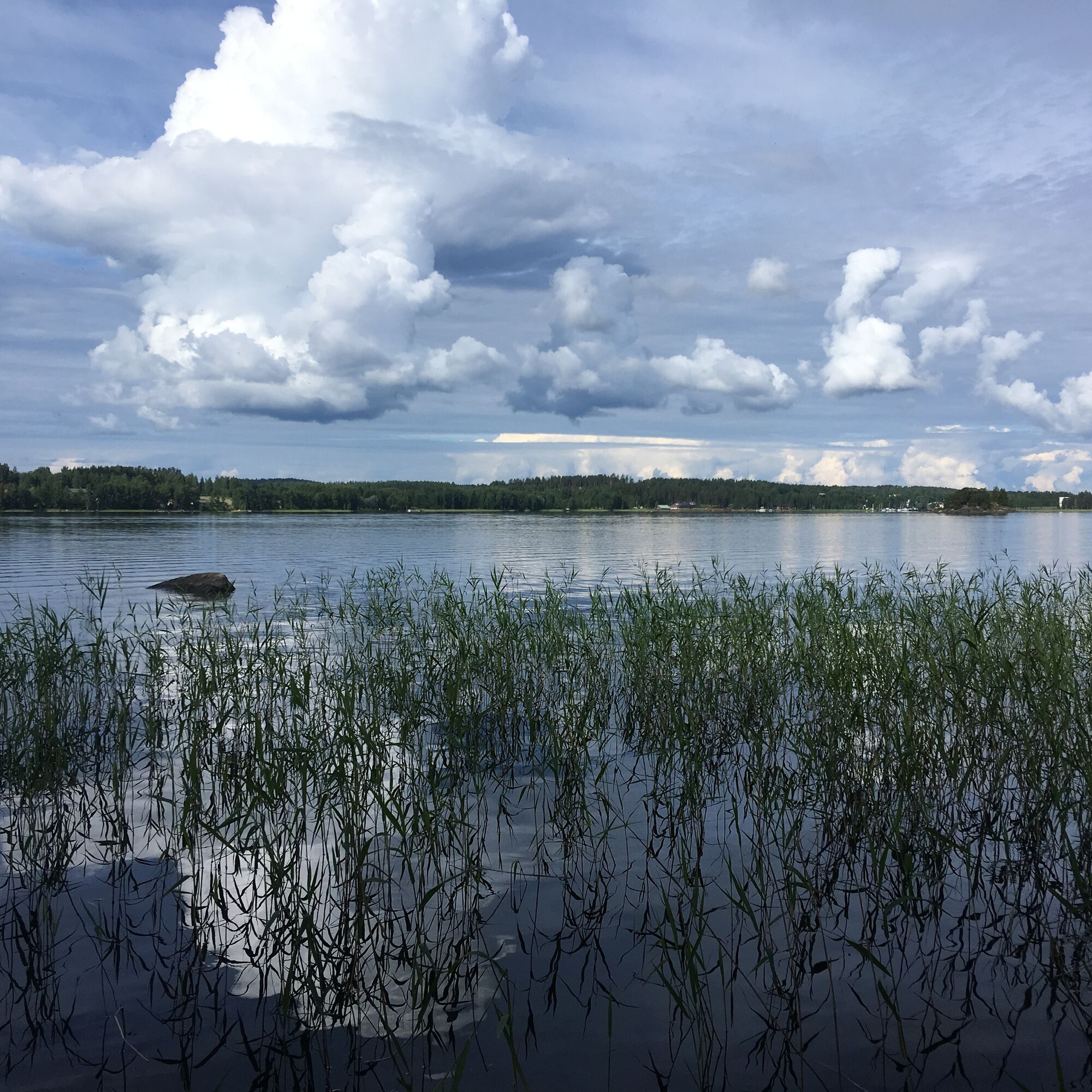
There is a cozy lean-to shelter on the Bay of Toivotuksenlahti for cookery and breaks.
Pohodništvo in sledenje


Ne zamudite ponudb in navdiha za naslednje počitnice
Vaš e-poštni naslov je bil dodan na poštni seznam.