


Nevahööd
Stopnja težavnosti: S2
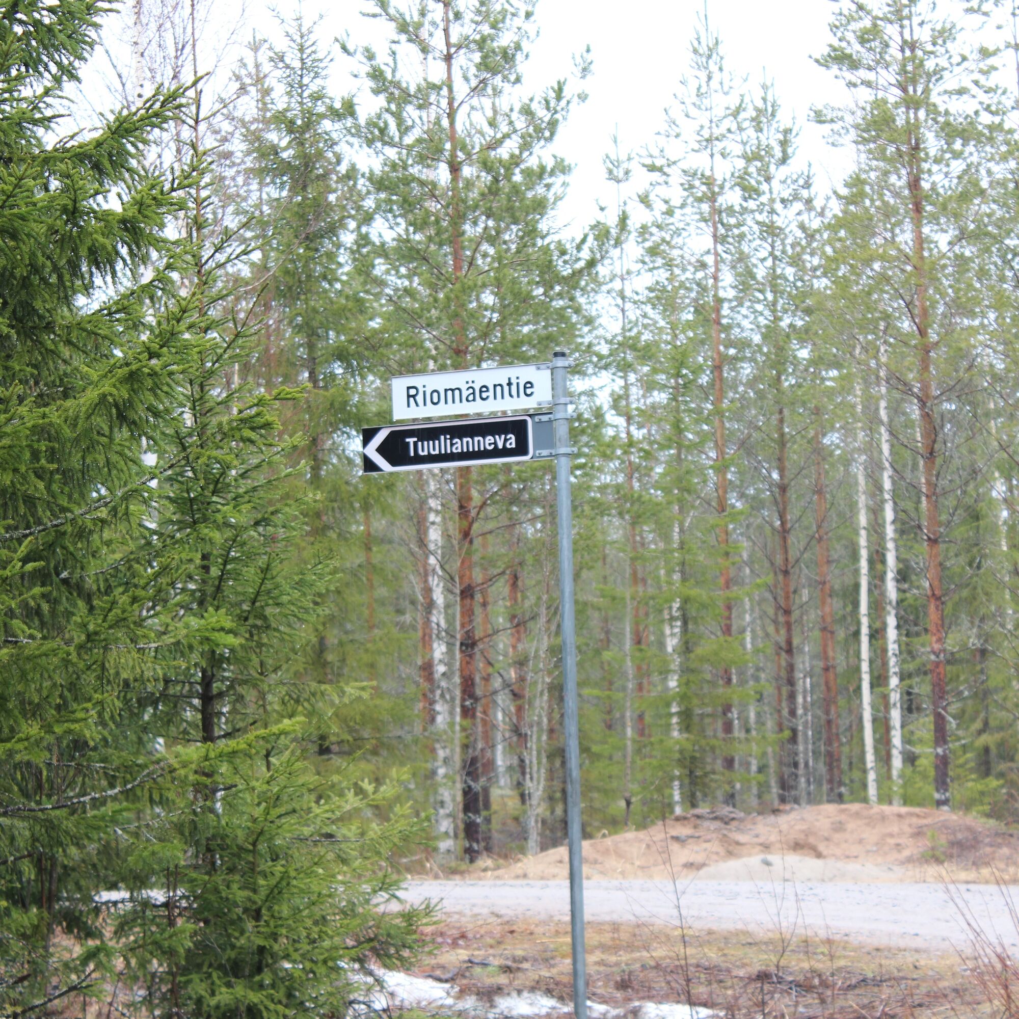
Tuulianneva is located about 16 km south of Ilmajoki center. The road to the swamp comes from Kurikka side. There are forest roads near the swamp. Part of the swamp has been cleared for peat production...
Tuulianneva is located about 16 km south of Ilmajoki center. The road to the swamp comes from Kurikka side. There are forest roads near the swamp. Part of the swamp has been cleared for peat production and partially drained. There are several drainage ditches from the swamp. The northwest drainage ditch leads through Kortesneva to the Kyrönjoki river. The ditches draining southwest run through the fields to the Jalasjoki river. Waters eastward flow through Tuoresluoma to the Kyrönjoki river.
Peurainneva is located on the right side of the road and already starts at the field plain, on the Kurikka side. The entire area is about 427.23 ha, of which 360 ha is under peat production. Peat production began in 1990 and the operator is Vaskiluodon Voima. Vaskiluodon Voima owns most of the area. Peurainneva drains through Ohoonluoma and Kruunuoja to the Jalasjoki river and through Tuoresluoma to the Kyrönjoki river.

S2
Priljubljeni izleti v okolici
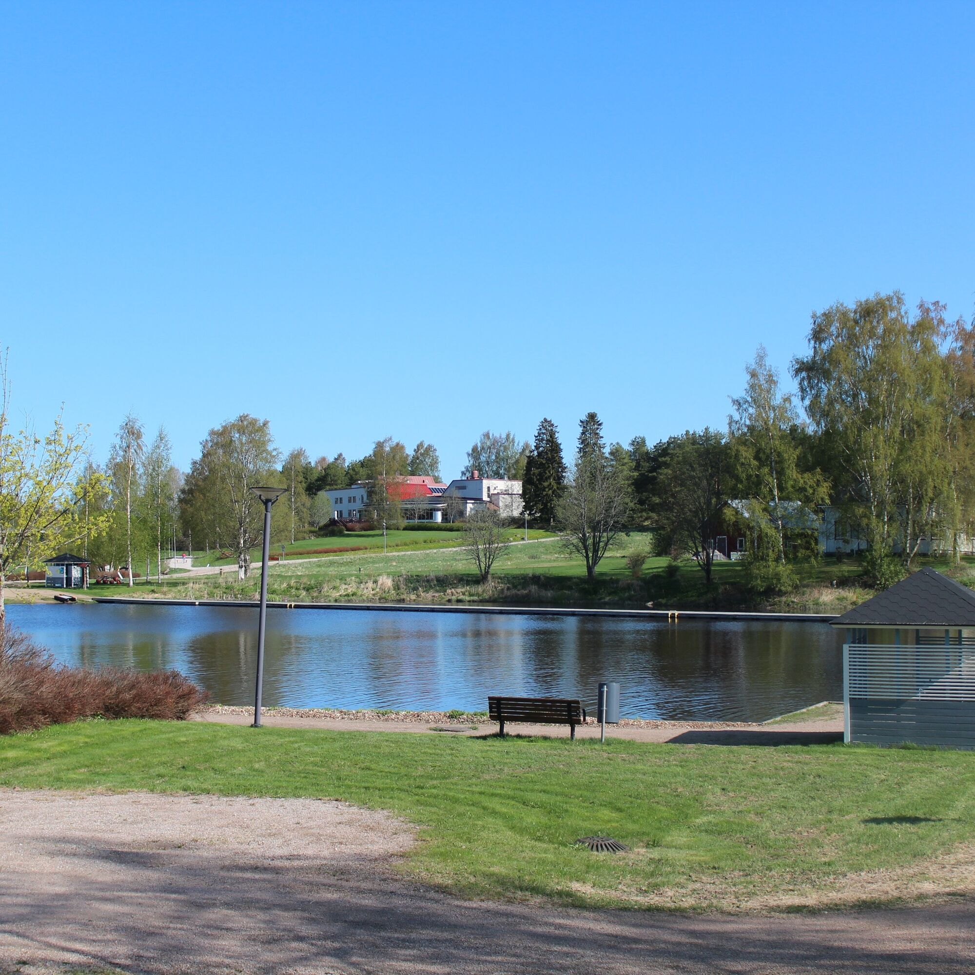
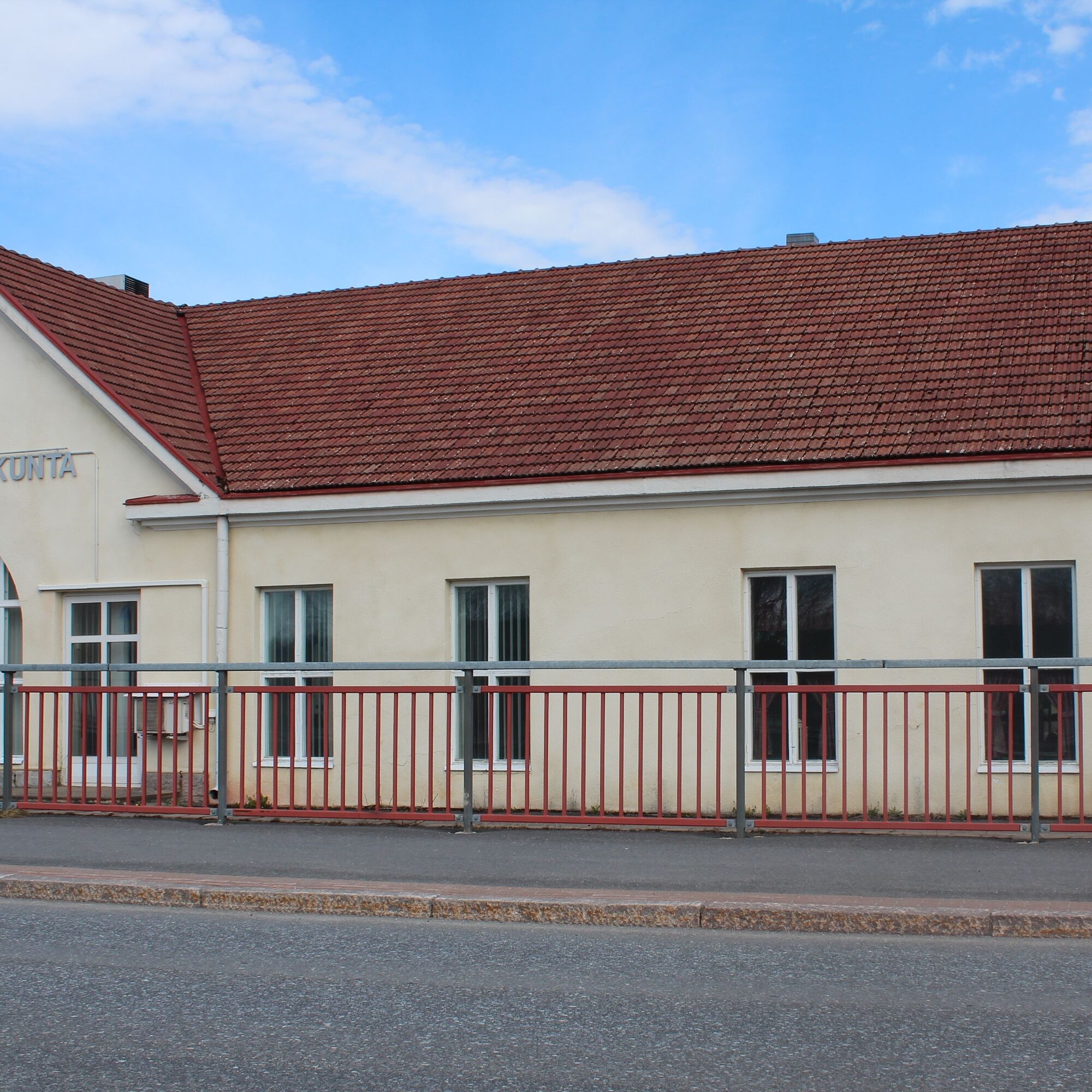
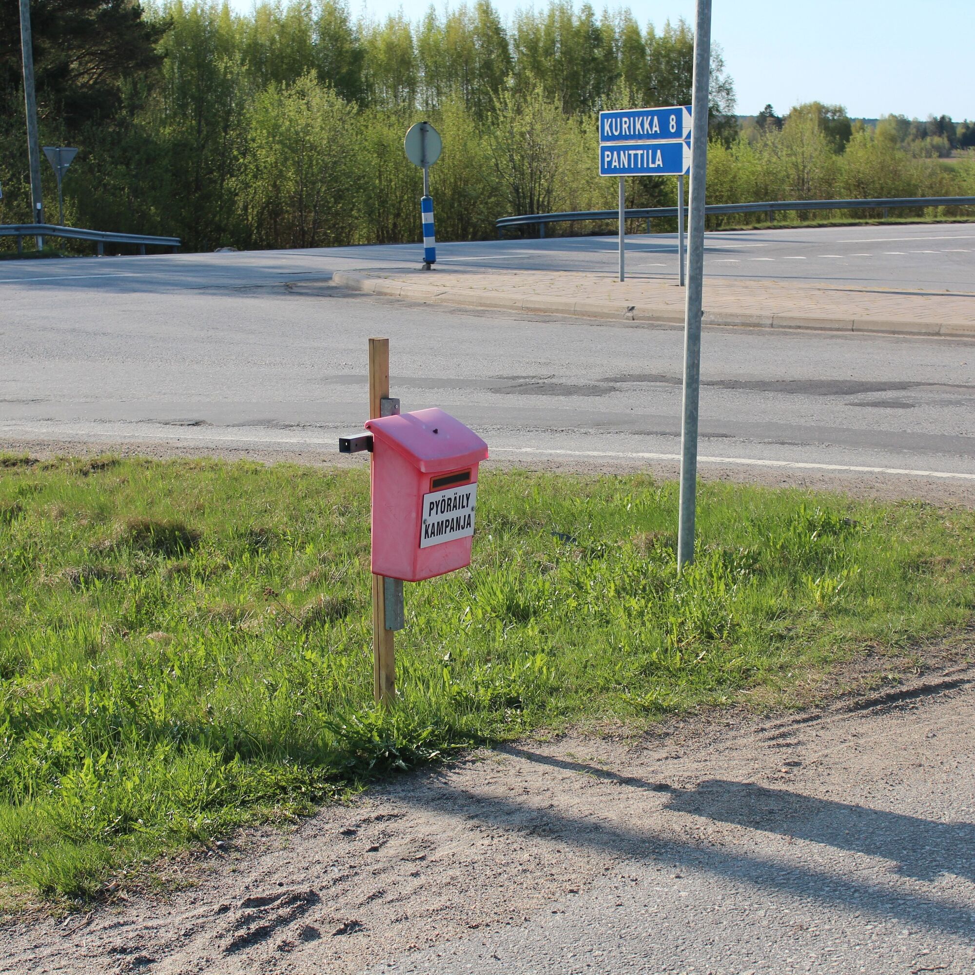
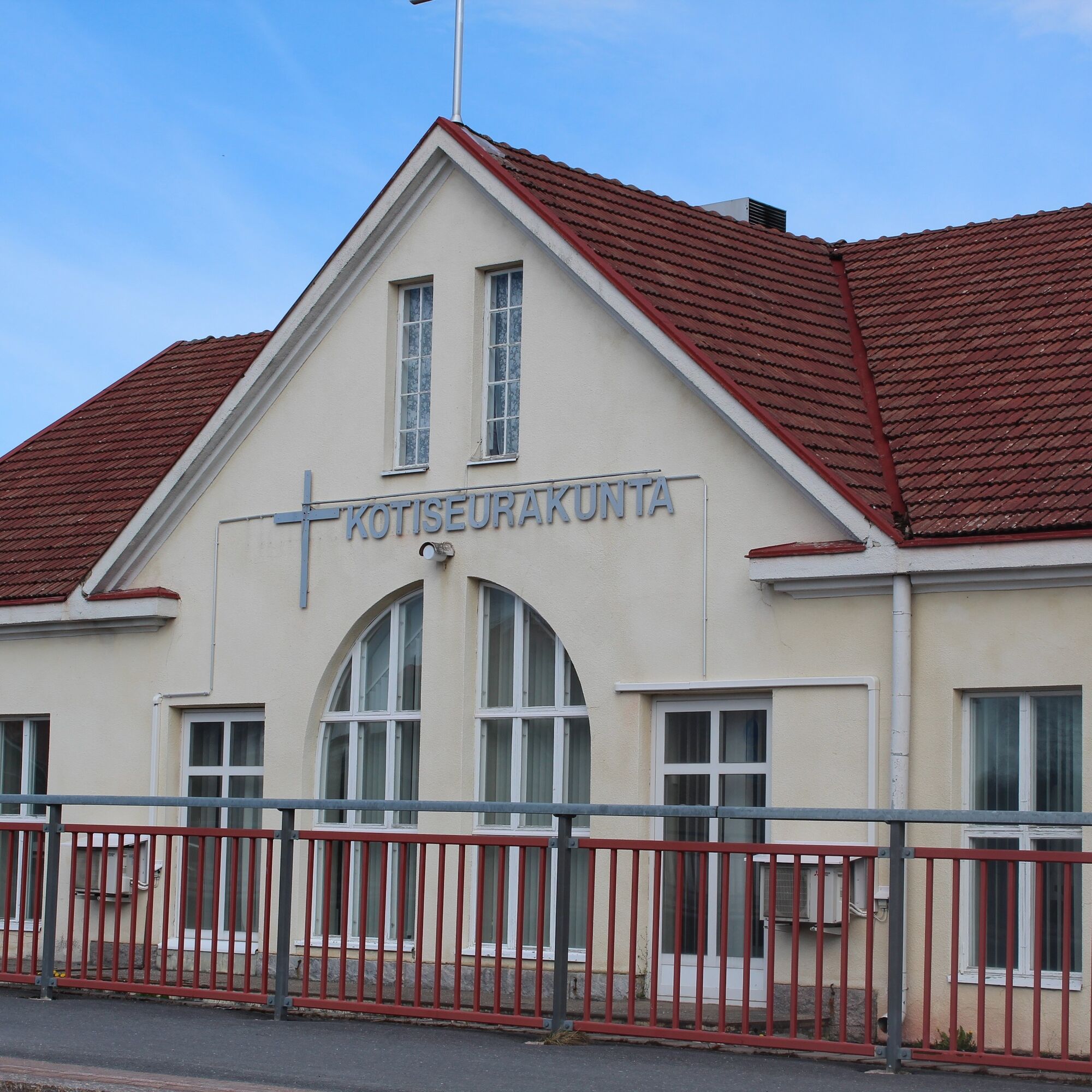
Kurikka sights
srednjaMountainbike 12.5 kmDrafted on March 20, 2023
srednjaMountainbike 45.2 kmNuijapolku, Kurikka
srednjaPohodništvo 27.1 kmDrafted on 2023-03-21
svetlobaKolesarjenje 16.2 kmSisko tahtoisin jäädä, mutta Jokipiintie on kuuma
srednjaMountainbike 59.0 kmDrafted on 2023-03-23
svetlobaCestno kolo 36.0 kmDrafted on 2023-03-21
svetlobaKolesarjenje 5 kmDrafted on 2023-03-23
svetlobaCestno kolo 23.8 kmJyllinkoski Nature Trail
srednjaPohodništvo 2.42 kmSamuli Paulaharju Trail, Kurikka
srednjaPohodništvo 11.4 km
Pohodništvo in sledenje


Ne zamudite ponudb in navdiha za naslednje počitnice
Vaš e-poštni naslov je bil dodan na poštni seznam.