


AMBER TRAIL East Route | Stage 13 | Eltendorf - St. Martin an der Raab
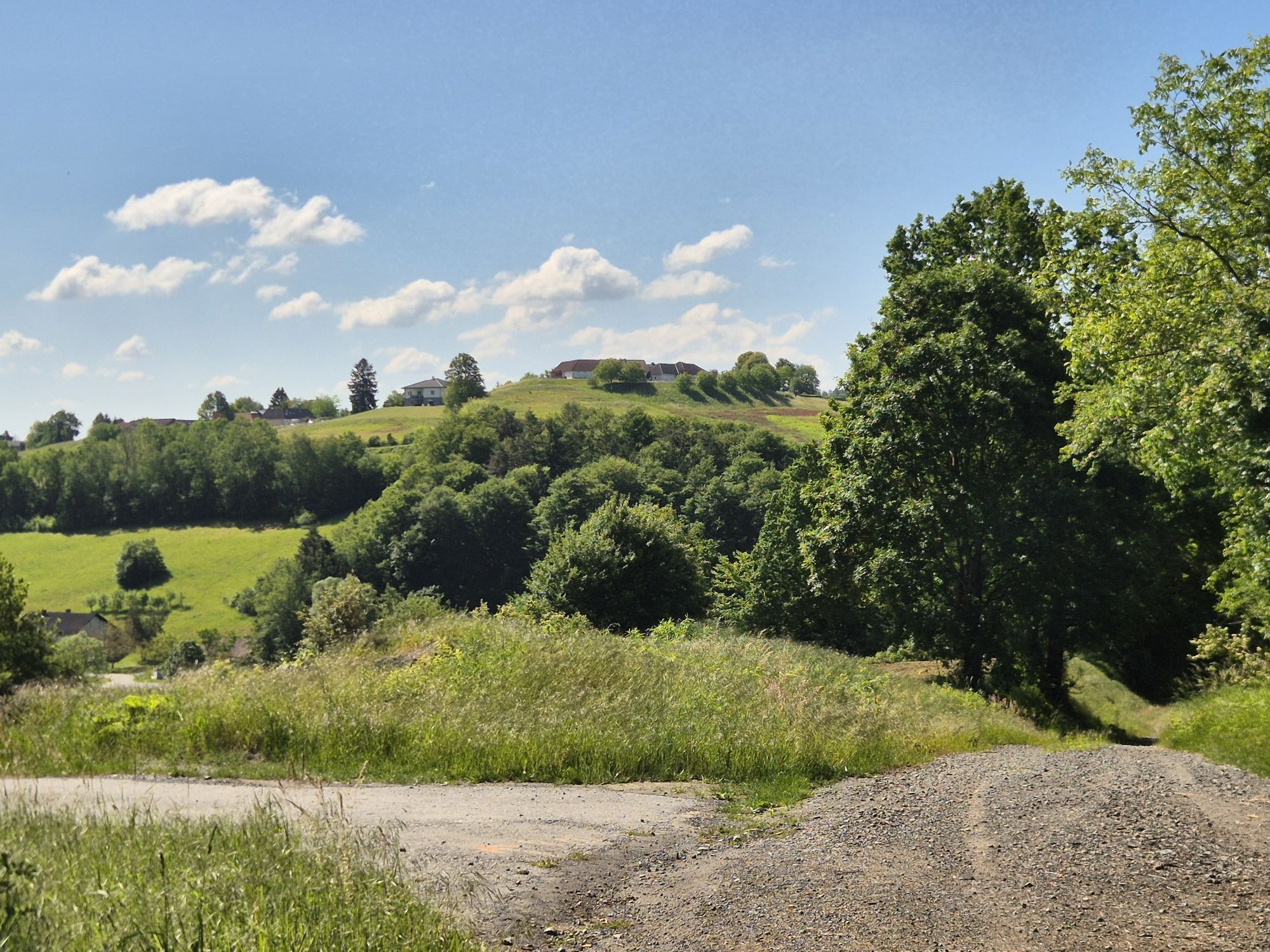

This stage once again shows the full idyll of southern Burgenland: First, you hike along field paths, the Lafnitz, and later in a steady up and down over forest and field paths or small paved roads to...
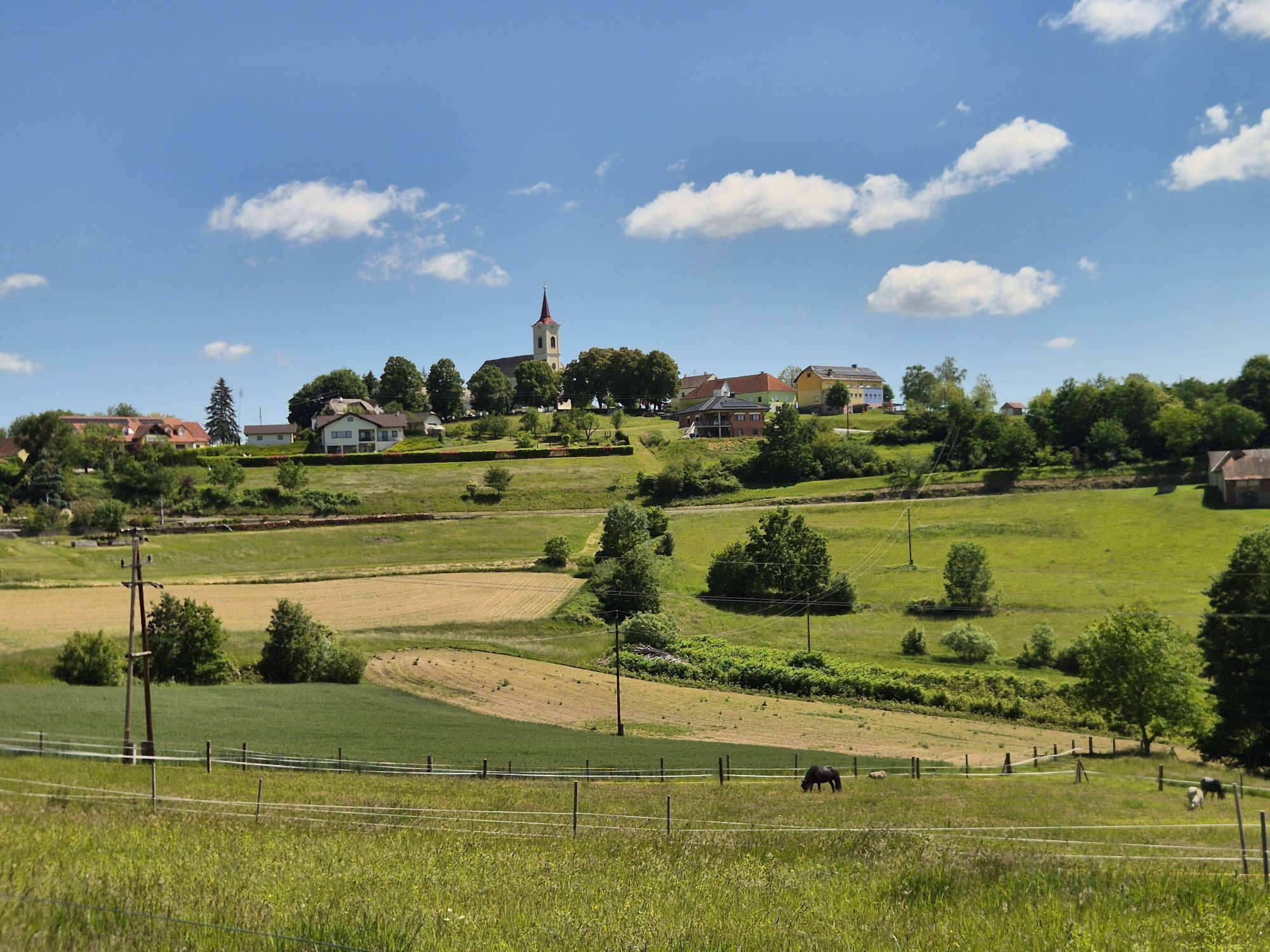
This stage once again shows the full idyll of southern Burgenland: First, you hike along field paths, the Lafnitz, and later in a steady up and down over forest and field paths or small paved roads to the hamlet of Krobotek and finally on to the pilgrimage church Maria Bild.
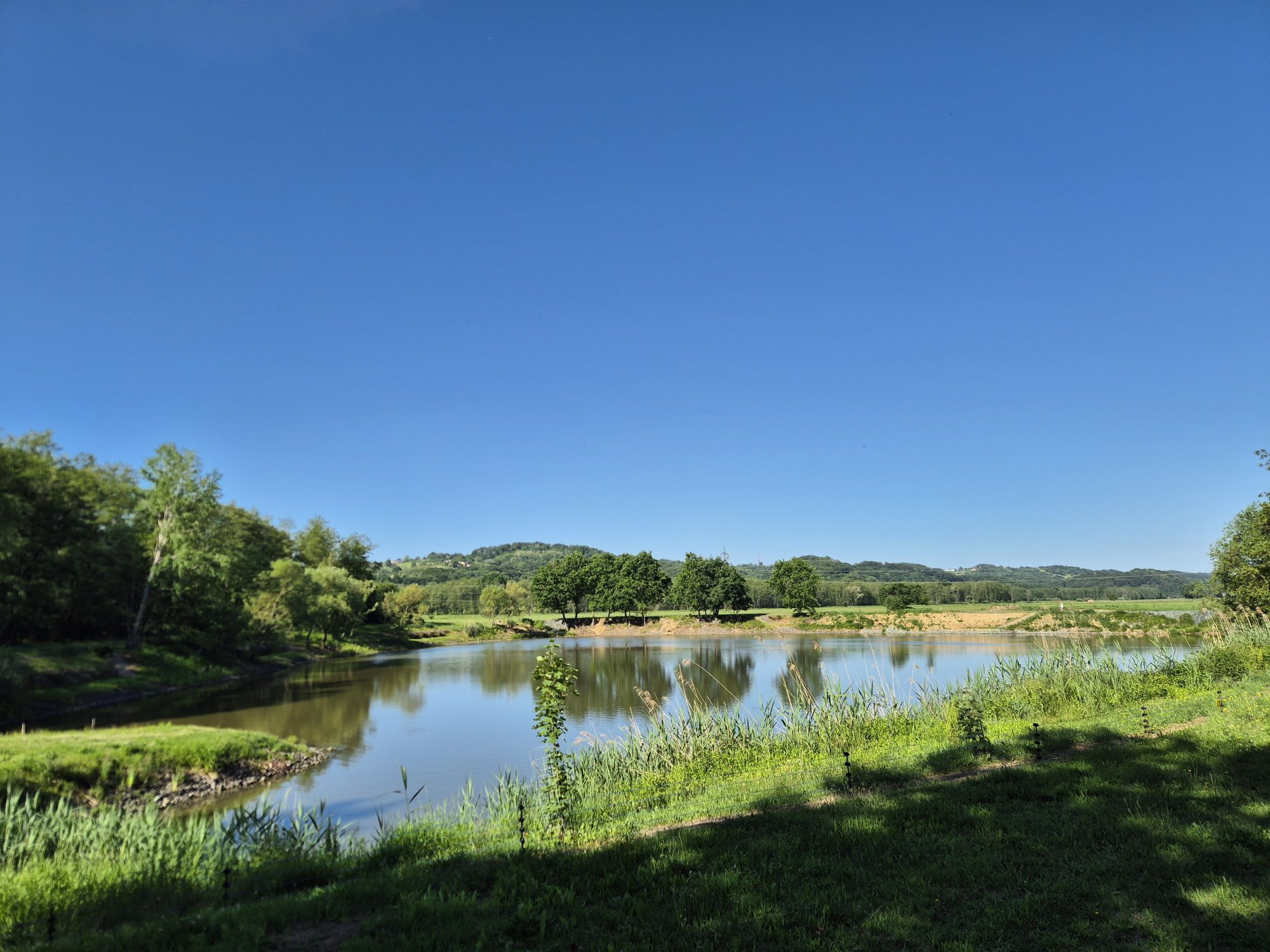
Enjoy the view once more from the hill of the pilgrimage church over the surroundings: From here, it goes down to Weichselbaum and through the floodplain of the Raab to the "Roman Road", a themed trail at St. Martin an der Raab. This themed trail takes you on a circular walk to St. Martin an der Raab.
The actual destination of the Amber Trail, the Roman graves, are slightly outside the village and can be reached shortly through the village. Now you have made it, the Amber Trail is part of your memories. Even though one realizes how much further the onward path to Aquileia was during the heyday of the Roman Amber Road.

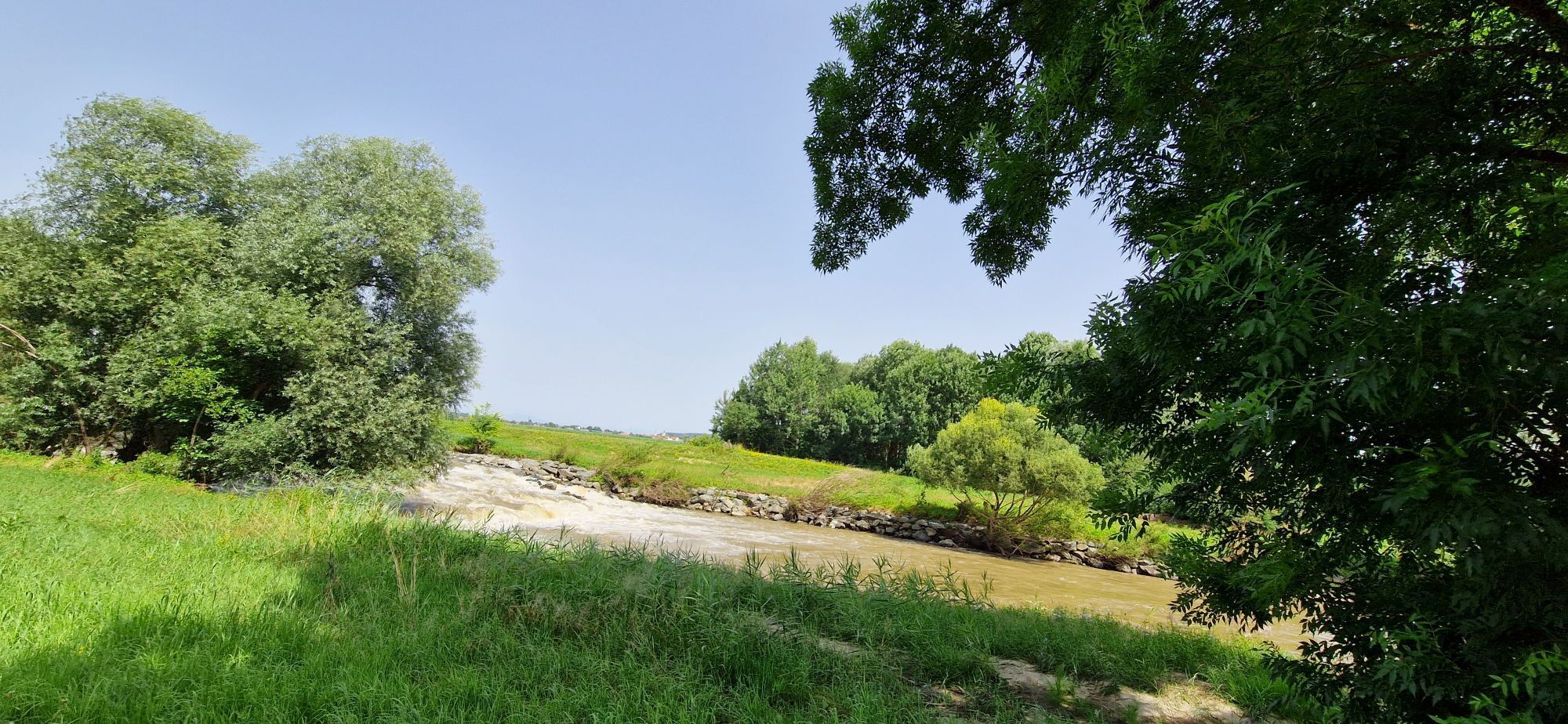
The stage starts at the information hiking sign in the center of Eltendorf. You cross the bridge over the stream, immediately turn left, and walk west of the stream to the federal road. On the other side, into a small street that soon becomes a field path. You walk for a while until another field path joins from the left, at the end of which you meet a small paved road. Turn right onto this and after crossing the Lafnitz, right again onto the gravel riverside trail along the Lafnitz. You walk this path straight ahead for quite some time until it becomes a small paved road at a fork with a wooden bridge. Turn left at the fork and follow the small paved road in a wide left arc, always keeping left at major junctions, until an inconspicuous forest trail leads sharply uphill to the right in a wooded area. Follow this, turn left at a fork, and continue through the forest at the same elevation to a small paved road at the beginning of the village Rosendorf. Do not go into the village center but continue right on the street and after 100 m at a fork turn left. After another 50 m, leave the small paved road to the right and follow the field path uphill until you meet the village road in the hamlet Krobotek by an old house.
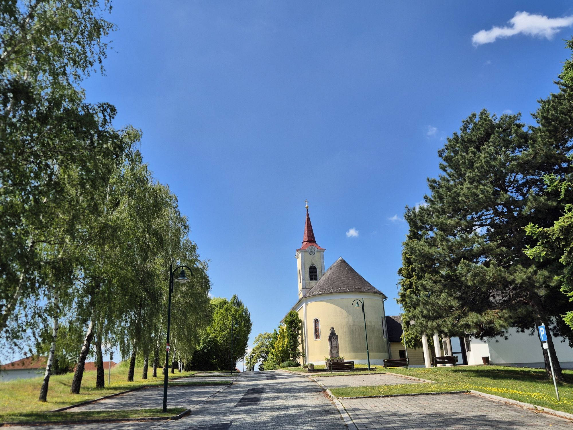
Turn left and walk along the street briefly, then sharp right behind the fire station. Immediately follow the farm track Buchgraben down to the left until you reach a small paved road at the bottom. Turn right there and after 50 m at a crossroads again right. You now choose the right of the two hiking trails, called the "Angel Way", which first takes you along the Saubach to a small street. Follow this to the left for about 100 m and then turn left again into a forest path that leads you just before the pilgrimage church Maria Bild to a road. Follow this road to the right for a few meters to the church.
Now turn left in front of the church, behind the church again right downhill and past the Janitschek inn. Now straight ahead and a small road left downhill, which soon becomes a field path. The path forks in front of an old agricultural building: choose the right field path and follow it uphill through fields until you meet a small paved road. Follow this left downhill for quite some time until a somewhat larger road crosses. Cross this road, follow the forest road for about 200 m, turn right at individual houses, and thus reach the village Weichselbaum.
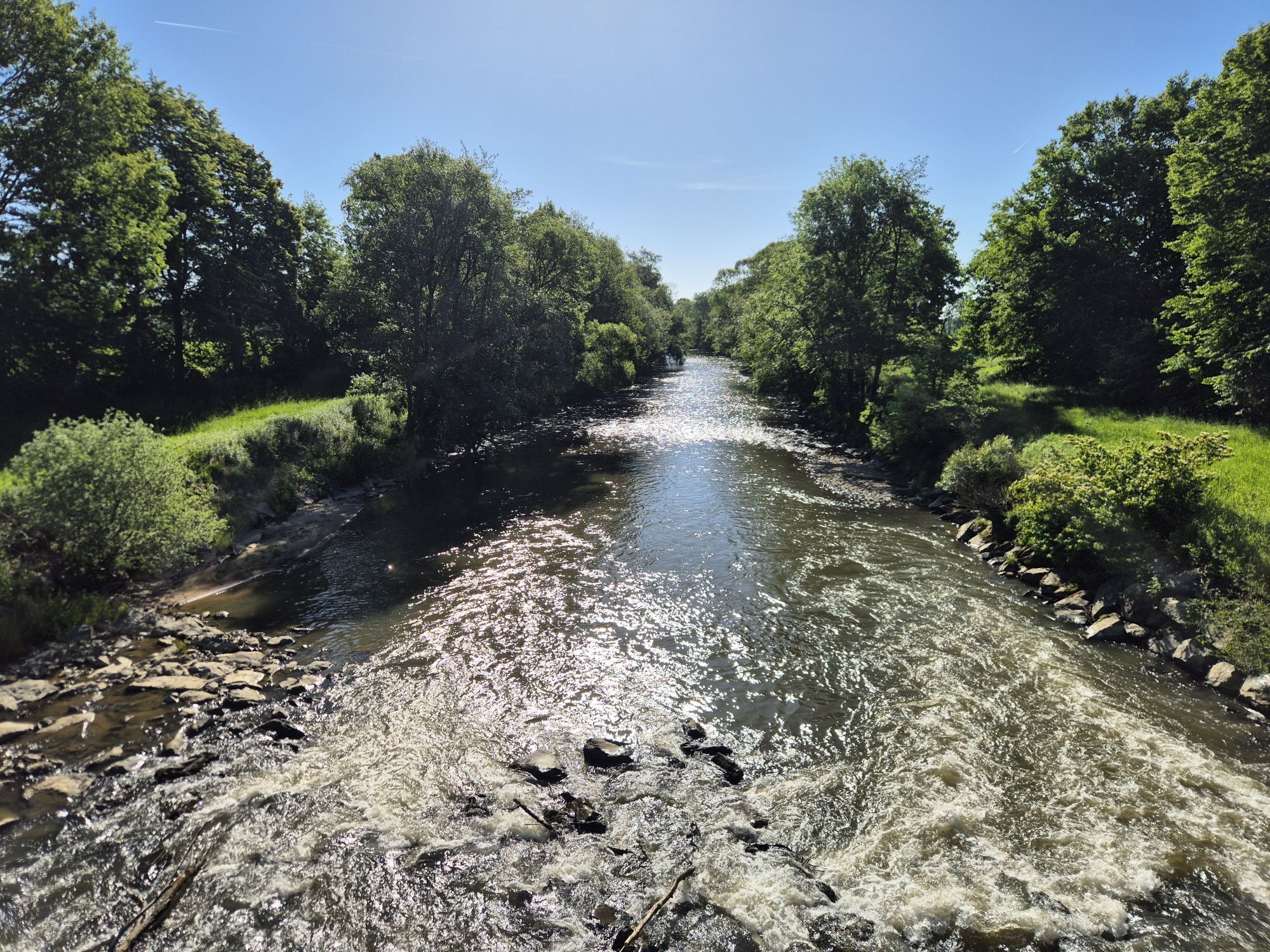
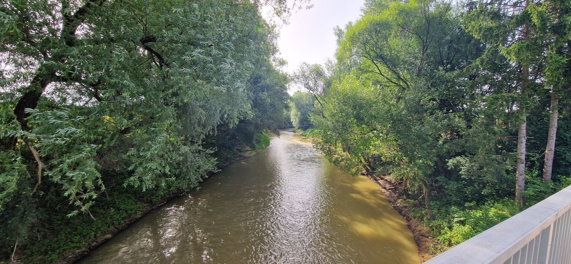
At the federal road, turn left and after about 80 m right again onto a paved farm track. Just behind a railway crossing, choose the gravel path to the right and follow it parallel to the railway until a small paved road. Follow this road, which is also a bike path, to the left and for a long time until a major road between Neumarkt and Jennersdorf. On the opposite side, follow the gravel path along the Raab until you cross to the other side of the river at a pedestrian bridge.
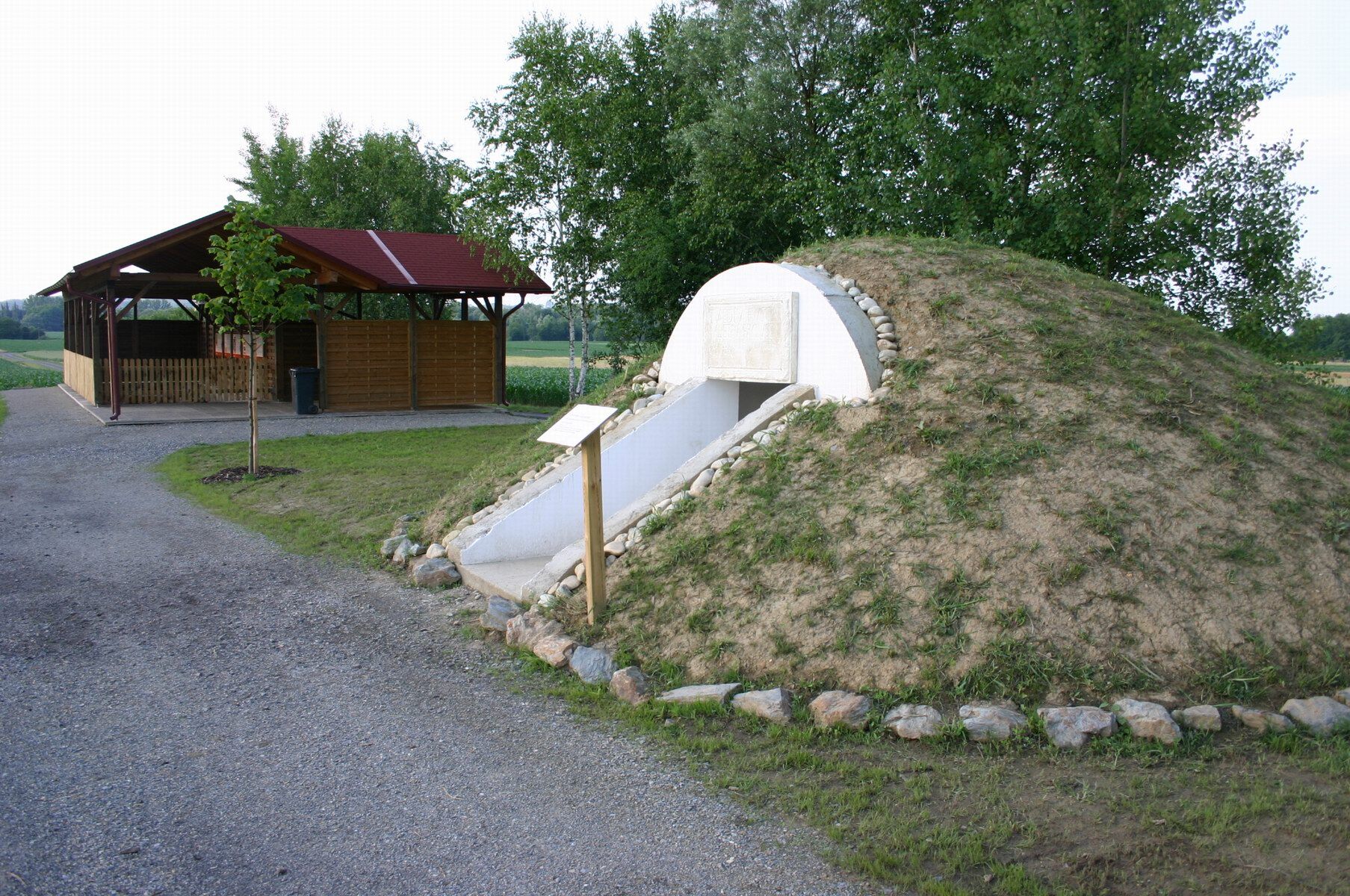
Now go straight ahead about 100 m, turn right at the next fork and reach the start of the "Roman Road", which conveys all sorts of interesting facts about Roman times in Burgenland with display boards. This is the perfect finale for the Amber Trail: first, follow the Roman Road initially parallel to the Raab to the west and then follow the signs left to St. Martin an der Raab up to the village road. Follow the village road left through St. Martin an der Raab and out of the village again. Just behind the village, you will see the well-preserved Roman burial mounds on the left side of the road, your stage destination. You are also at the final destination of the entire Amber Trail!

Priljubljeni izleti v okolici
-
4.4
Stock & Stein (kurze Variante "Wein-Erlebnis-Weg Bad Loipersdorf")
svetlobaTematska pot 10.7 km -
4.4
Erlebensweg der Sinne in Unterlamm
svetlobaPohodništvo 14.2 km -
4.7
Kleiner Höhenrundweg / Weg 5
svetlobaPohodništvo 6.75 km -
4.9
Wein-Erlebnis-Weg Bad Loipersdorf
srednjaPohodništvo 17.0 km -
5.0
Smuggler's Route
Pohodništvo 8.03 km -
4.5
Glücksweg Hatzendorf -
svetlobaTematska pot 3.30 km -
3.6
Raabtaltour - FF 17
svetlobaKolesarjenje 37.5 km -
4.8
Riegersburgtour - FF 16
težkoKolesarjenje 45.3 km -
3.7
Gaumenfreuden-Tour
srednjaKolesarjenje 42.7 km -
4.1
Dreiländereck Österreich-Ungarn-Slowenien - Start Gasthaus Lang, Kölbereck-Oberdrosen
svetlobaPohodništvo 2.25 km
Pohodništvo in sledenje


Ne zamudite ponudb in navdiha za naslednje počitnice
Vaš e-poštni naslov je bil dodan na poštni seznam.