


BERNSTEIN TRAIL East route | Stage 10 | Rechnitz - Deutsch Schützen-Bergen
In a way, the third section of the Bernstein Trail begins on this stage. You have said goodbye to Hungary and the low mountain ranges, and on this stage you now hike into the hilly South Burgenland, characterized...
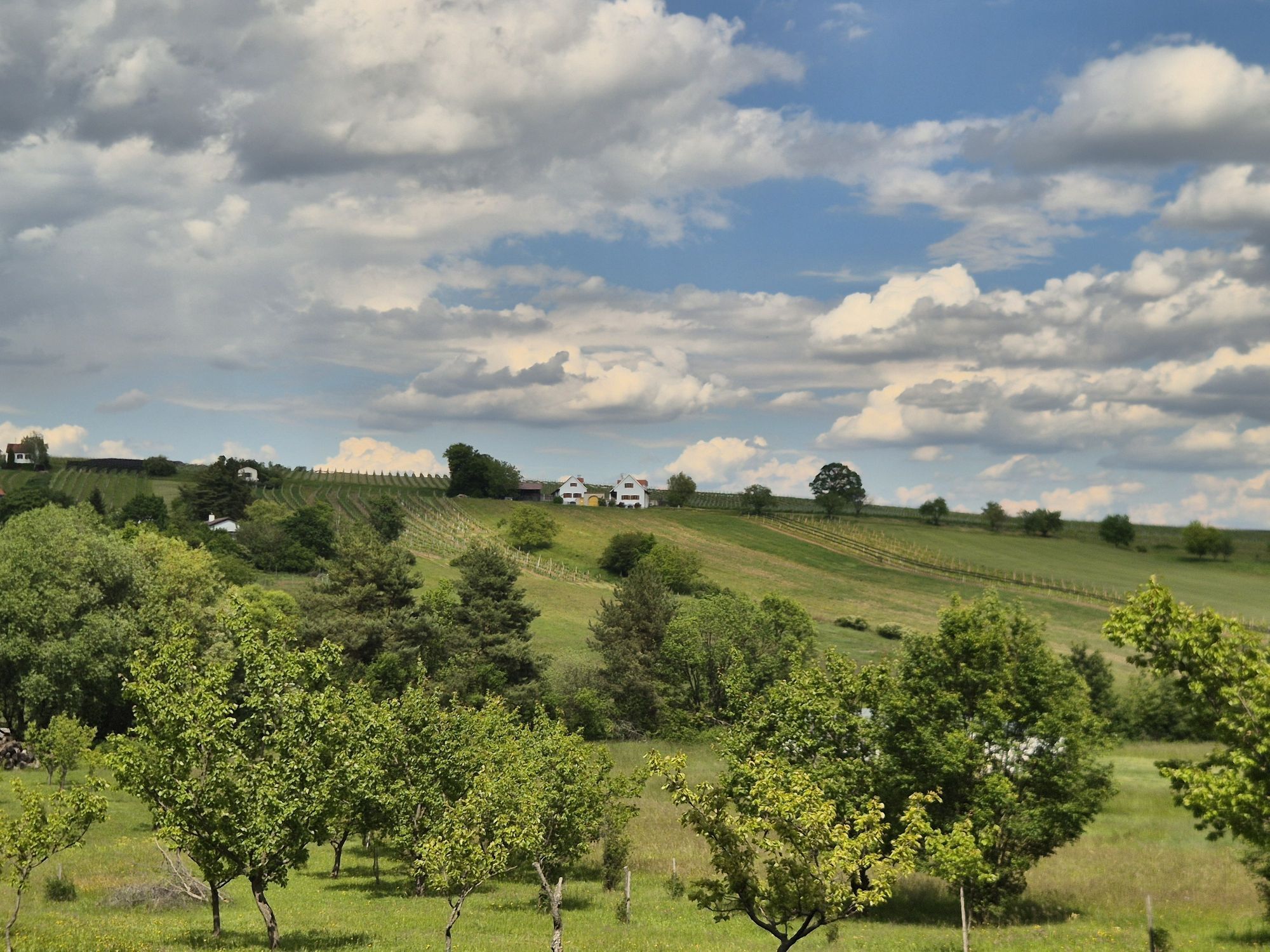
In a way, the third section of the Bernstein Trail begins on this stage. You have said goodbye to Hungary and the low mountain ranges, and on this stage you now hike into the hilly South Burgenland, characterized by wine and fruit cultures.
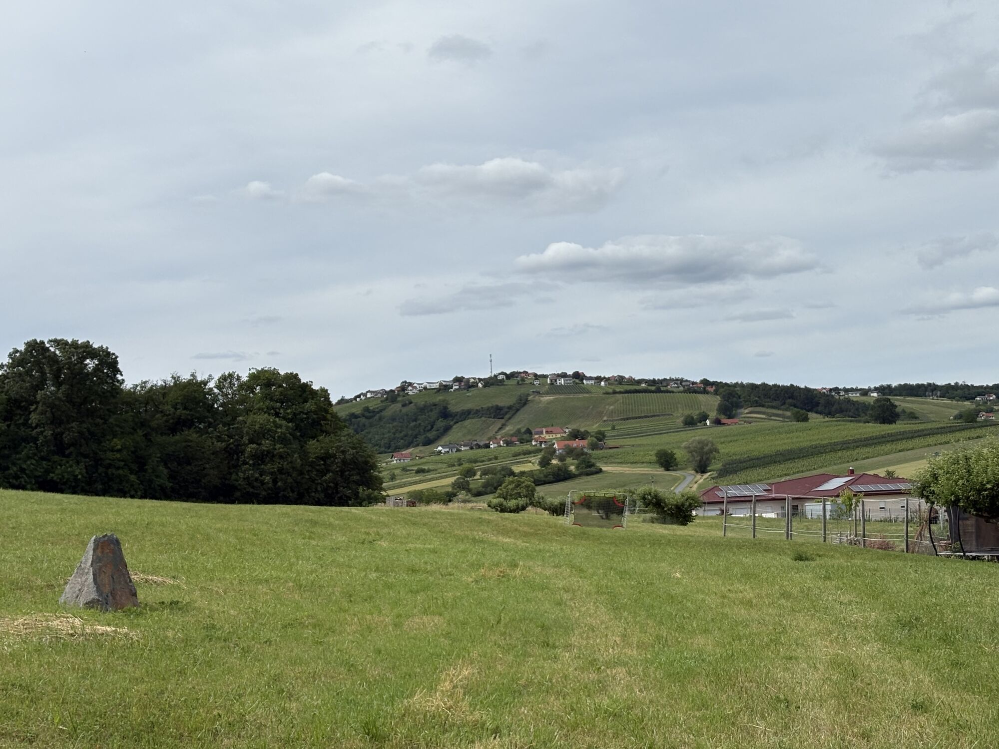
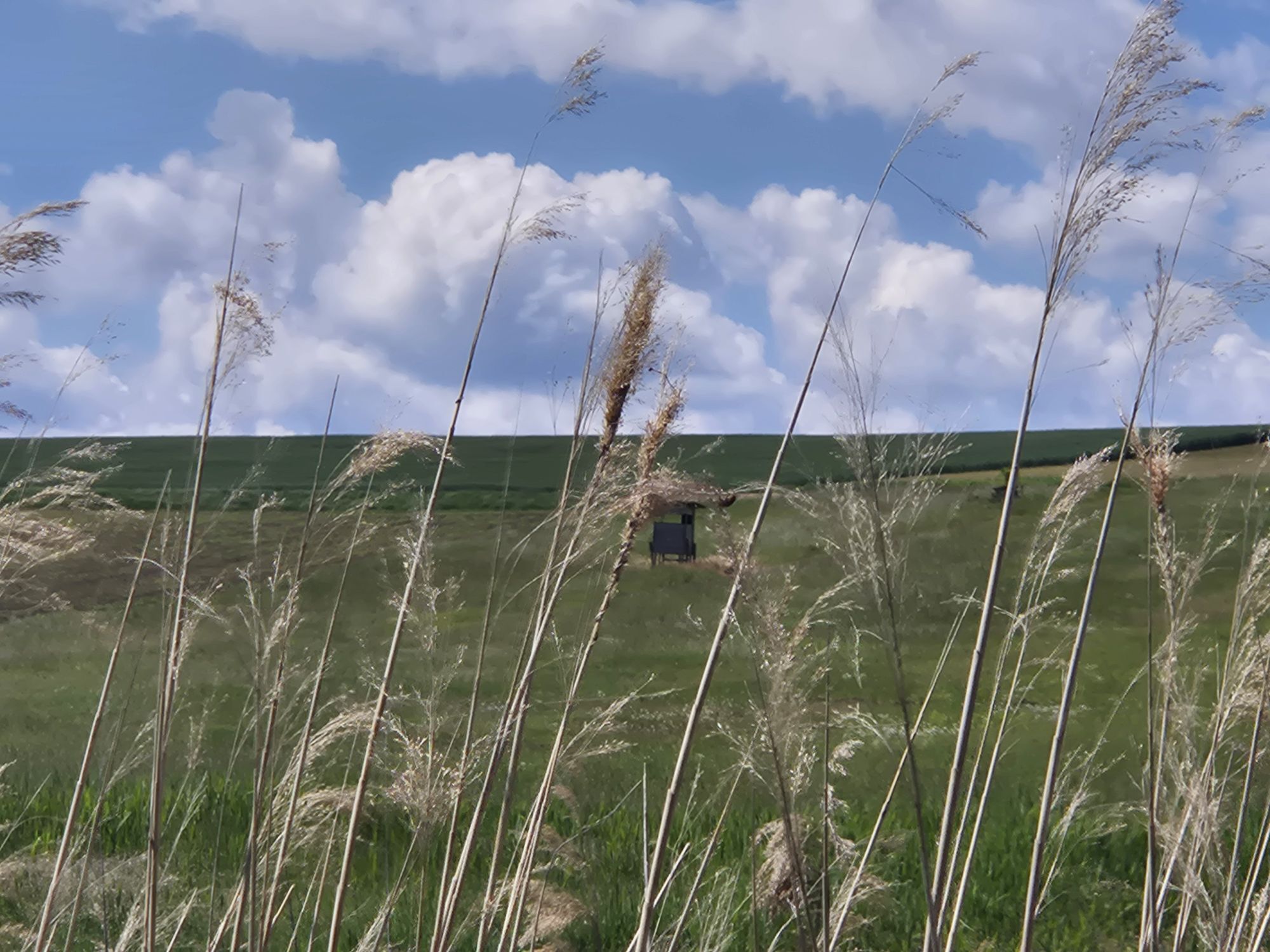
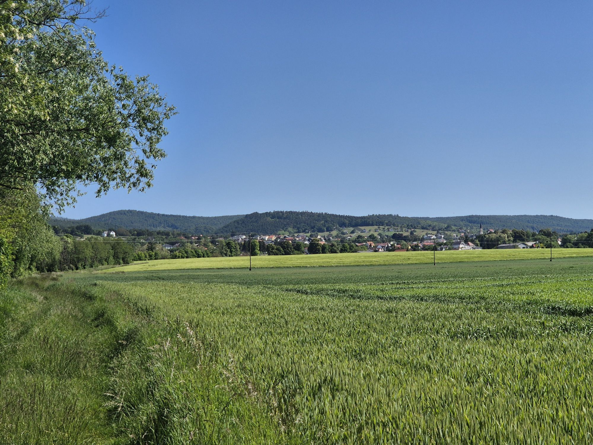
Your first destination is the Weinidylle Nature Park. But first, coming from Rechnitz, you cross an agriculturally used basin, which is elegantly “outwitted” by beautiful field paths along field edges.
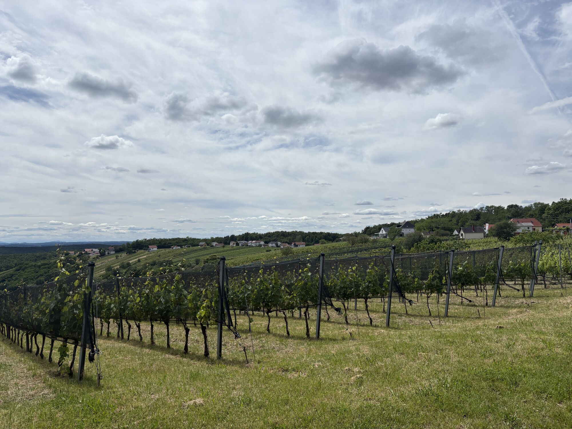
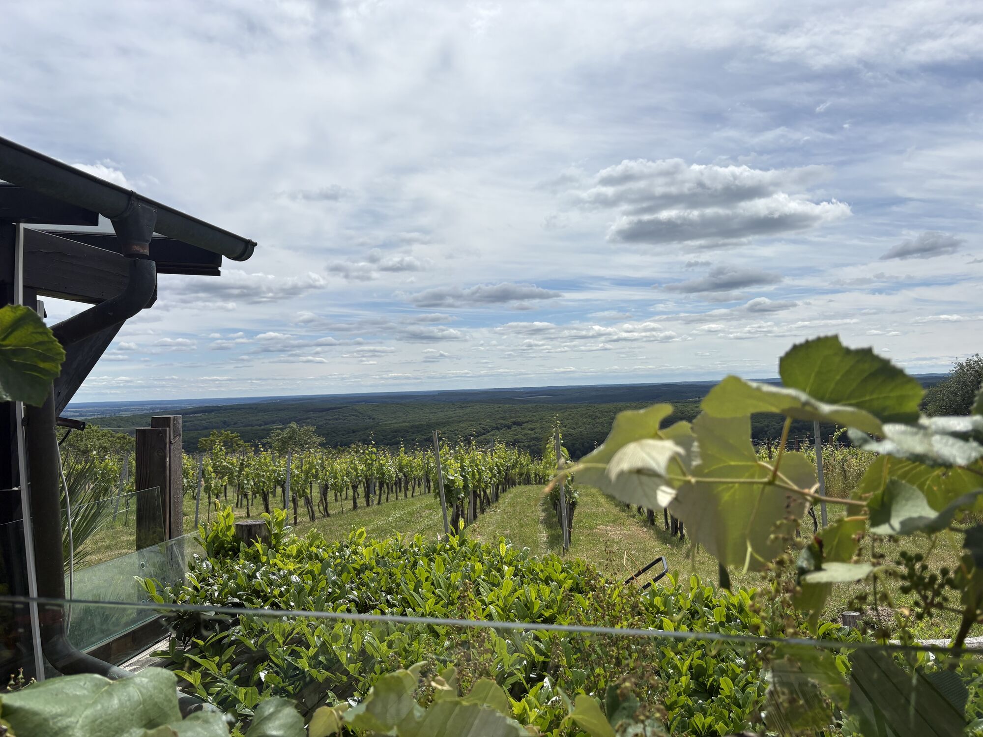
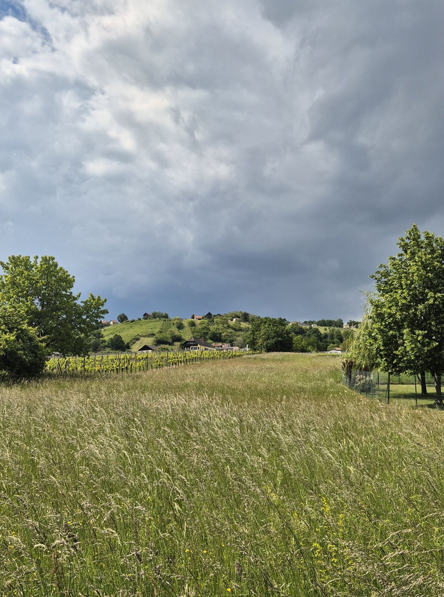
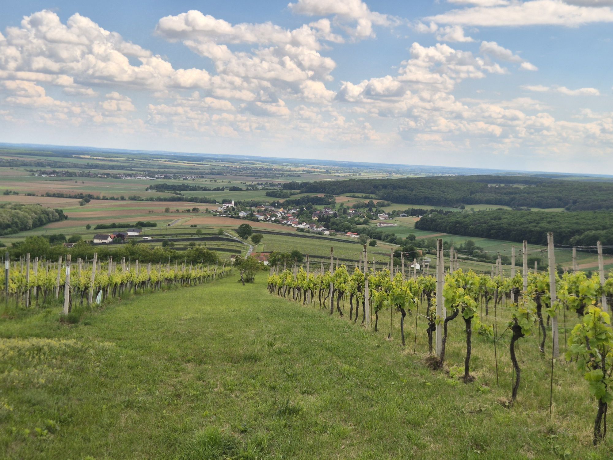
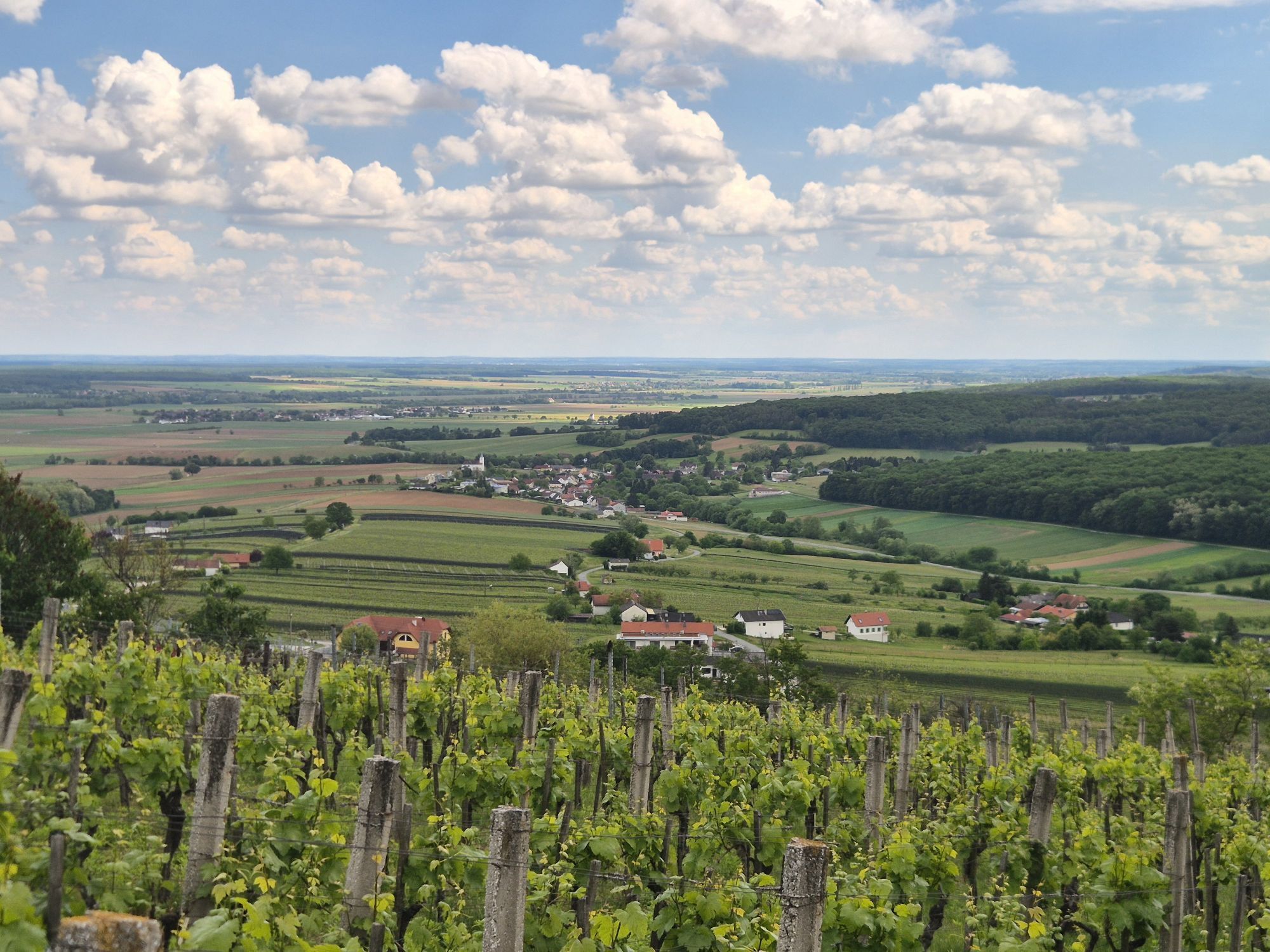
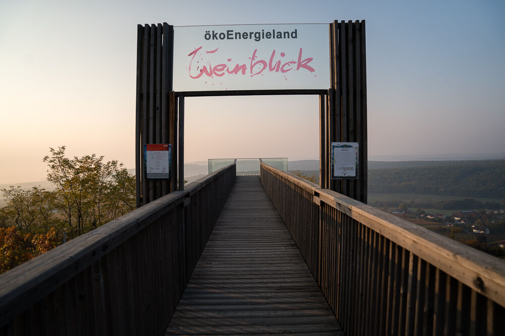
At “Burg” the landscape becomes hillier again. Burg was an important trading hub in the early Iron Age, about 7,000 years ago. Only remnants of the old Burg castle from the Middle Ages can be seen of the once neolithic hill settlement. However, the nearly 300 burial mounds in the Schandorf forest are impressive. Archaeological excavations were carried out at both sites in 2020/2021. Through beautiful forest you ascend on hiking trails up to Eisenberg, where a surprising panorama awaits: On the “other side”, Eisenberg is planted with very idyllic vineyards and vintner buildings, so-called “Kellerstöckl”, through which you wander in a curve. A worthwhile stop is the viewpoint “Weinblick”, located in the middle of the vineyard, offering a magnificent panorama over the well-kept vineyards of Eisenberg.
Arriving in the village center in Eisenberg, you reach the Vinothek Eisenberg. The trail branches off 200 m after the Vinothek to the left onto hiking trail No. 4 towards Deutsch Schützen-Weinberg. Following the route, you first hike through Eisenberg-Ort, then on path 4a through a short forest section to the stage destination Deutsch Schützen-Weinberg, the center of the spicy-mineral Blaufränkisch, the leading variety for red wines in South Burgenland.“ As a culinary tip, the restaurant “Die Ratschn” is recommended, where you can properly conclude this stage.

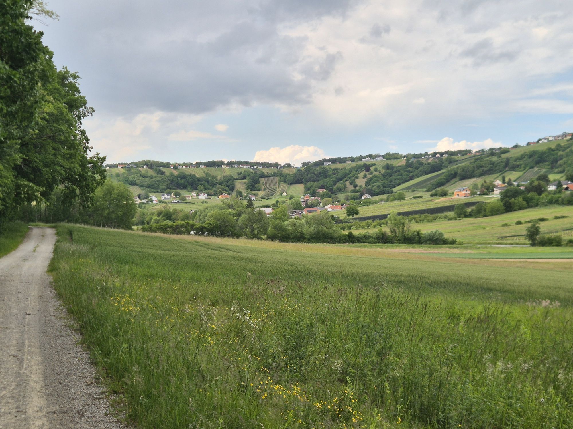
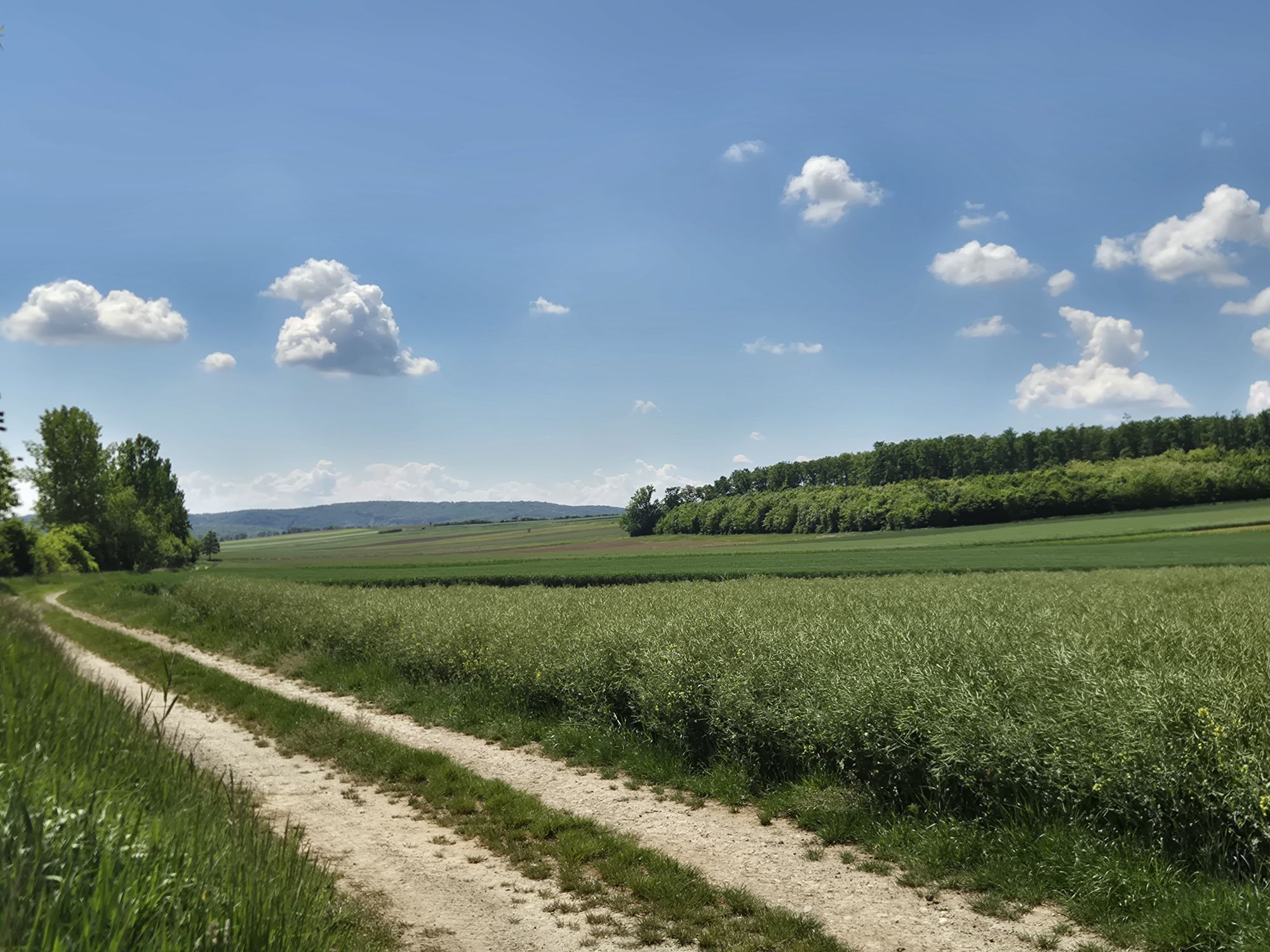
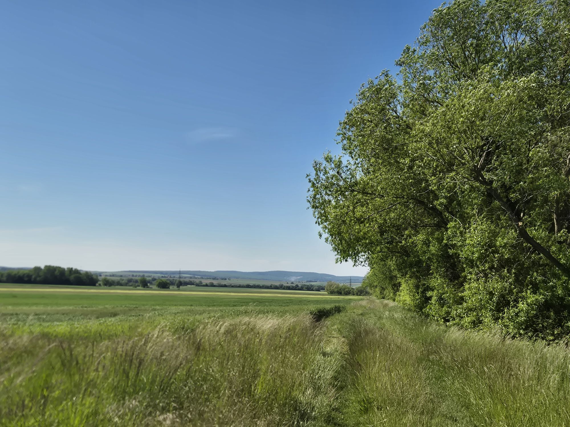
You start your stage from Rechnitz to Deutsch Schützen-Bergen at the church in the center of Rechnitz. From there, you walk a few meters down to the intersection and turn right towards Markt Neuhodis. Shortly before the town end, turn diagonally left onto an asphalted service road, the “Prangerweg”. At the last houses, turn right and immediately left onto a field path. Now through fields up to a field edge and just behind it turn left onto another field path. You walk this along pleasant field edges to its end, then turn right. Continue always on field paths, at each next intersection turning left, then right, then left again, and continue to the underpass of the main road. Now you have successfully completed the labyrinth of field paths in the first section! But no worries: the signposting guides you well. You walk under the underpass, follow the small street to the right, and continue, always following the road, until you reach the small village of Dürnbach.
At the church turn left and keep going until a larger road crosses near the town end. Here turn right and after 150 m turn left again onto a service road. The service road soon becomes a field path, which you follow along the field groves. At the first small bridge, do not forget to switch to the left side of the field edge. This way, you reach a smaller asphalt road leading from Schandorf to Hannersdorf. Follow this for about 200 m uphill to the right. Now turn left onto another field path and follow it – with a slight right-left swing, always straight ahead – to a main road shortly before the village of Burg. Here turn diagonally right onto the main road and after about 300 m turn right into the village of Burg.
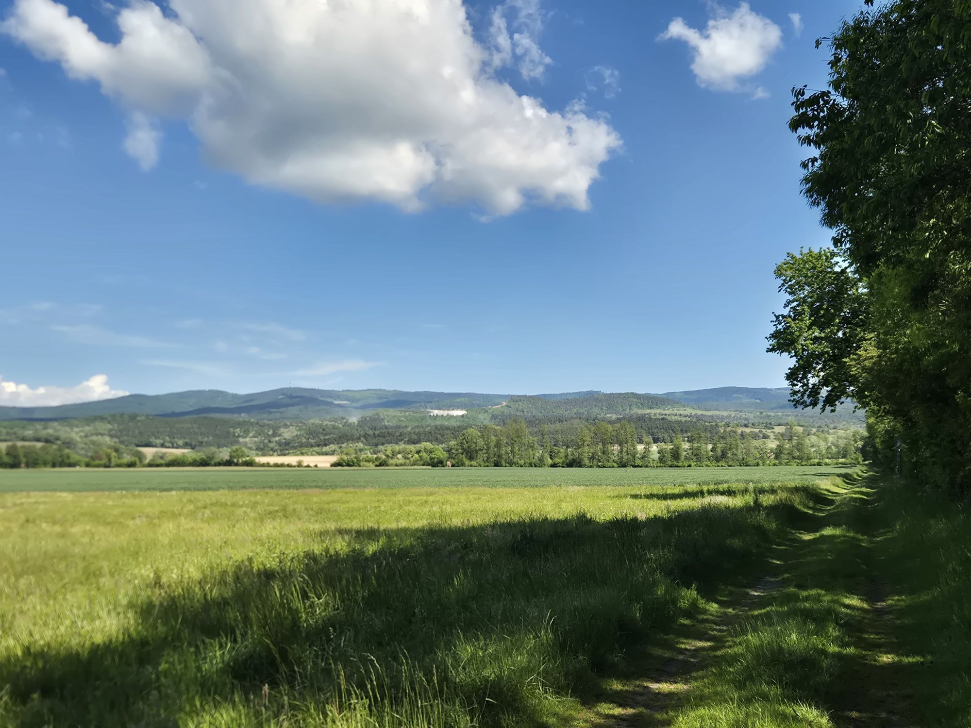
Parallel to the federal road, go left through the village and on a paved path up to the federal road. Now about 400 m uphill along the road to a long right curve, where a forest road branches off to the left. Follow this uphill. Do not miss a left turn here, then through beautiful oak forests to the mountain road to Eisenberg. Follow this left uphill until you reach the highest point of Eisenberg and the wine-growing hamlet.
In the village center is the Vinothek Eisenberg. The trail branches off 200 m after the Vinothek to the left on hiking trail No. 4 towards Deutsch Schützen-Weinberg. Following the route, the path first leads through Eisenberg-Ort and then on path 4a after a short forest section to the stage destination Deutsch Schützen-Weinberg.


Priljubljeni izleti v okolici
- 4,3
Railway track bike path
srednjaKolesarjenje 41,6 km - 4,0
S23 Three Vineyards Circular Route
svetlobaPohodništvo 14,1 km - 4,3
Summit hiking route
težkoPohodništvo 20,6 km - 5,0
Südburgenländischer Bahntrassen-Radweg
svetlobaKolesarjenje 67 km - 4,1
Geschriebenstein
svetlobaPohodništvo 3,90 km - 4,4
Eisenberg, Csaterberg, Georgssee
težkoPohodništvo 13,2 km - 3,2
Circular route (3) Pinkadurchbruch - Hiking in the wine idyll
srednjaPohodništvo 11,2 km - 5,0
Hiking in the wine idyll: circular route (2) Eisenberg
svetlobaPohodništvo 4,34 km - 5,0
Geschriebenstein Roas
težkoPohodništvo 55,3 km - 3,2
Günser Gebirge: Rechnitz - Geschriebenstein
svetlobaPohodništvo 7,71 km
Pohodništvo in sledenje


Ne zamudite ponudb in navdiha za naslednje počitnice
Vaš e-poštni naslov je bil dodan na poštni seznam.