







M61 WeinSteinWeg
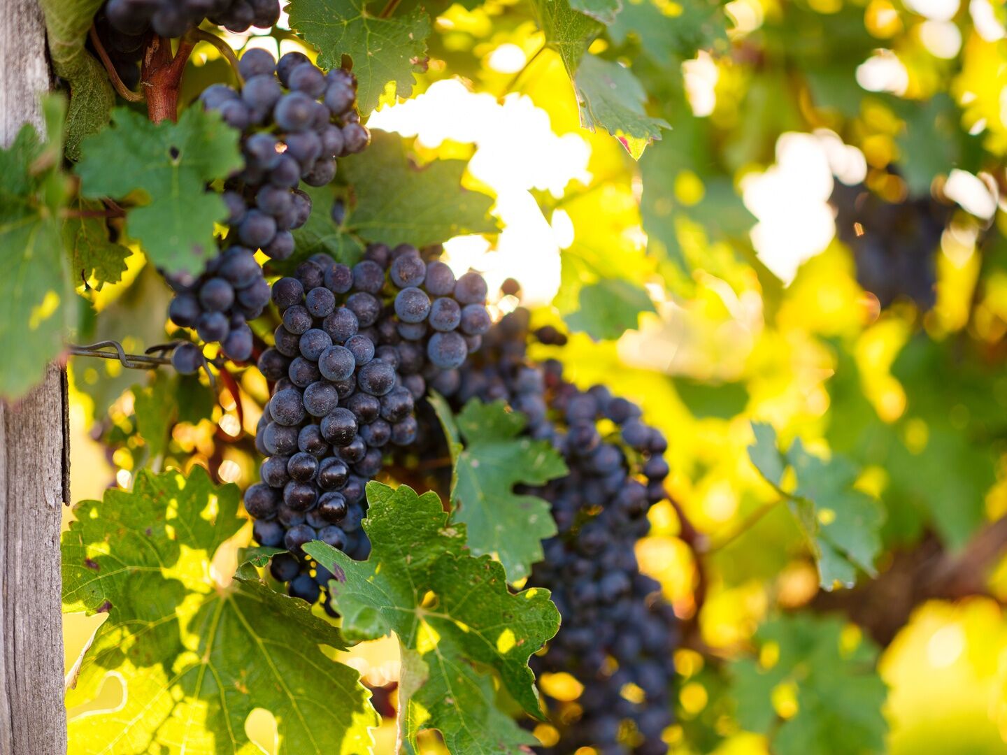
The WeinSteinWeg represents Blaufränkischland as THE winegrowing region of the area, with Blaufränkisch being the prevailing grape variety here. Already at the start and finish point, at the traditional...
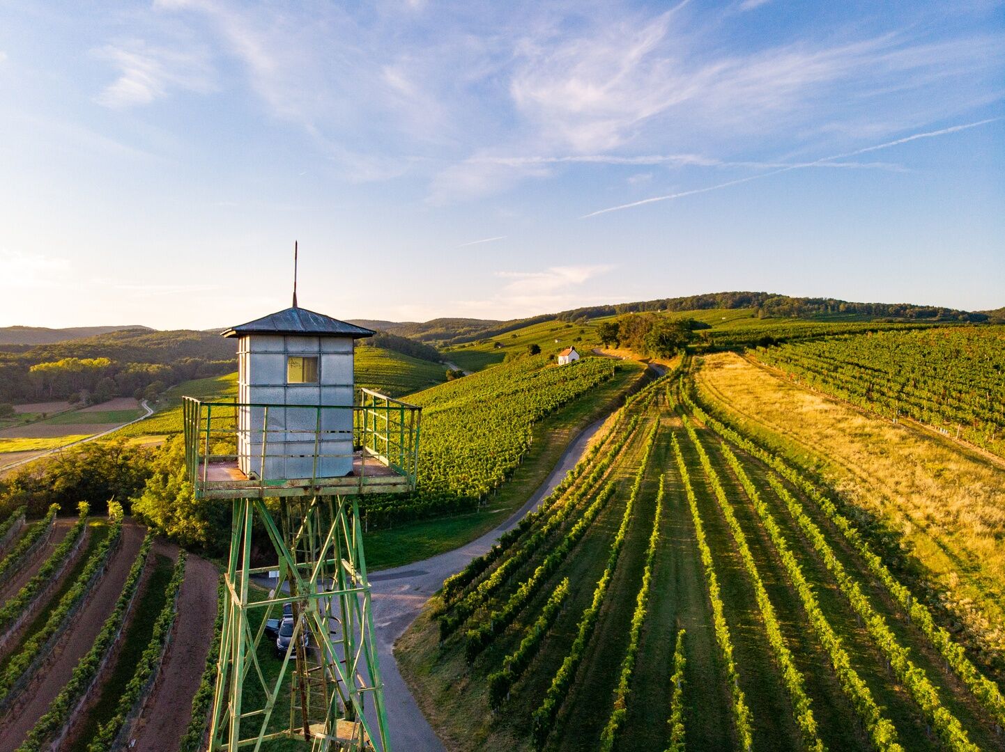
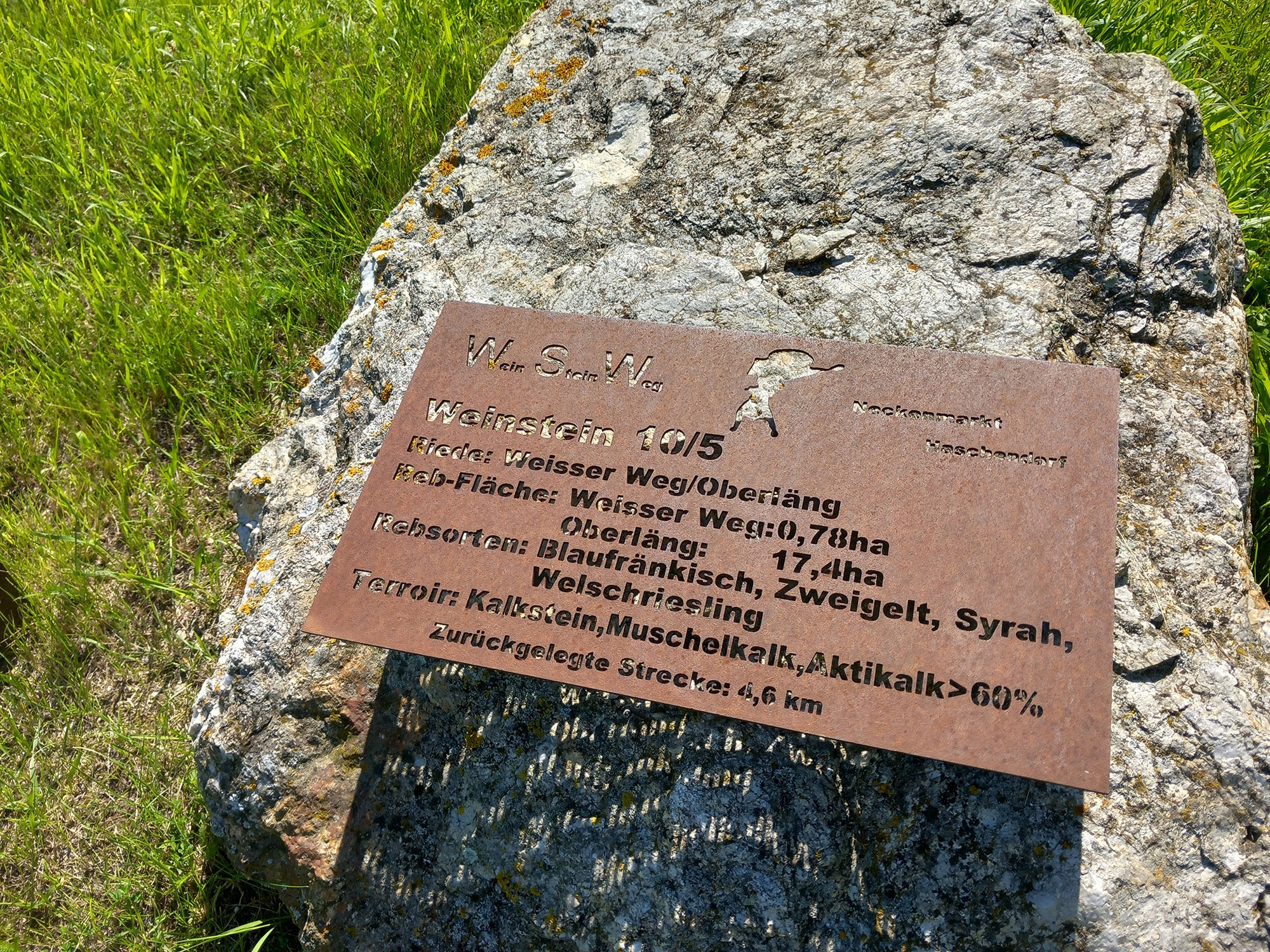
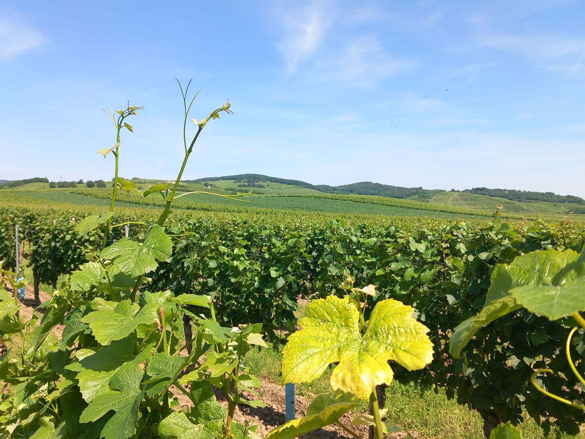
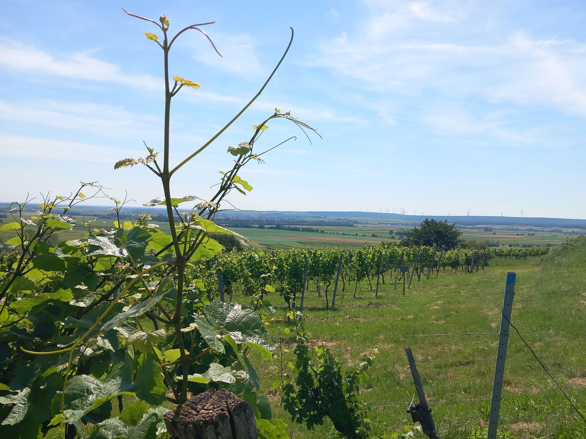
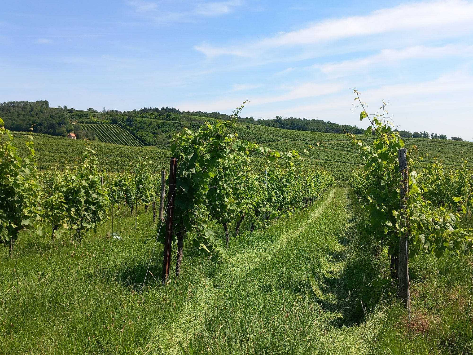
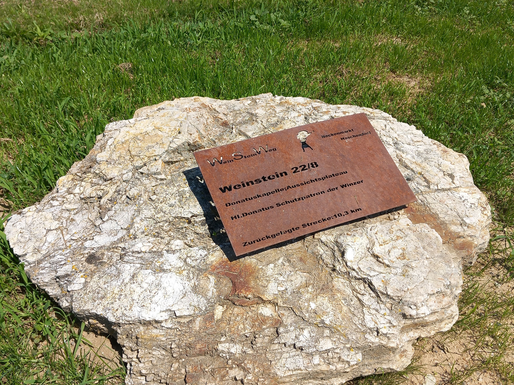
The WeinSteinWeg represents Blaufränkischland as THE winegrowing region of the area, with Blaufränkisch being the prevailing grape variety here. Already at the start and finish point, at the traditional "Gasthof Zur Traube," you will find the right atmosphere and the fitting name for the path! Wander through seemingly endless vineyards and marvel at the colorful display of the landscape, which shines in lush green in summer or colorful hues in autumn, depending on the season. The unique "WeinSteine" (wine stones) along the path inform you about the respective vineyard, the grape variety growing there, and specific characteristics of the terroir. Discover cultural-historical gems such as wayside shrines and chapels, picturesque amid the vineyards, and enjoy magnificent views over Blaufränkischland extending far into the Pannonian plain and all the way to the Neusiedler See. Experience history up close at the old border tower and information boards about the Iron Curtain. Also, visit the renowned "Winzer Neckenmarkt," where excellent wines have been bottled from the grapes for generations and, of course, can also be tasted on site.

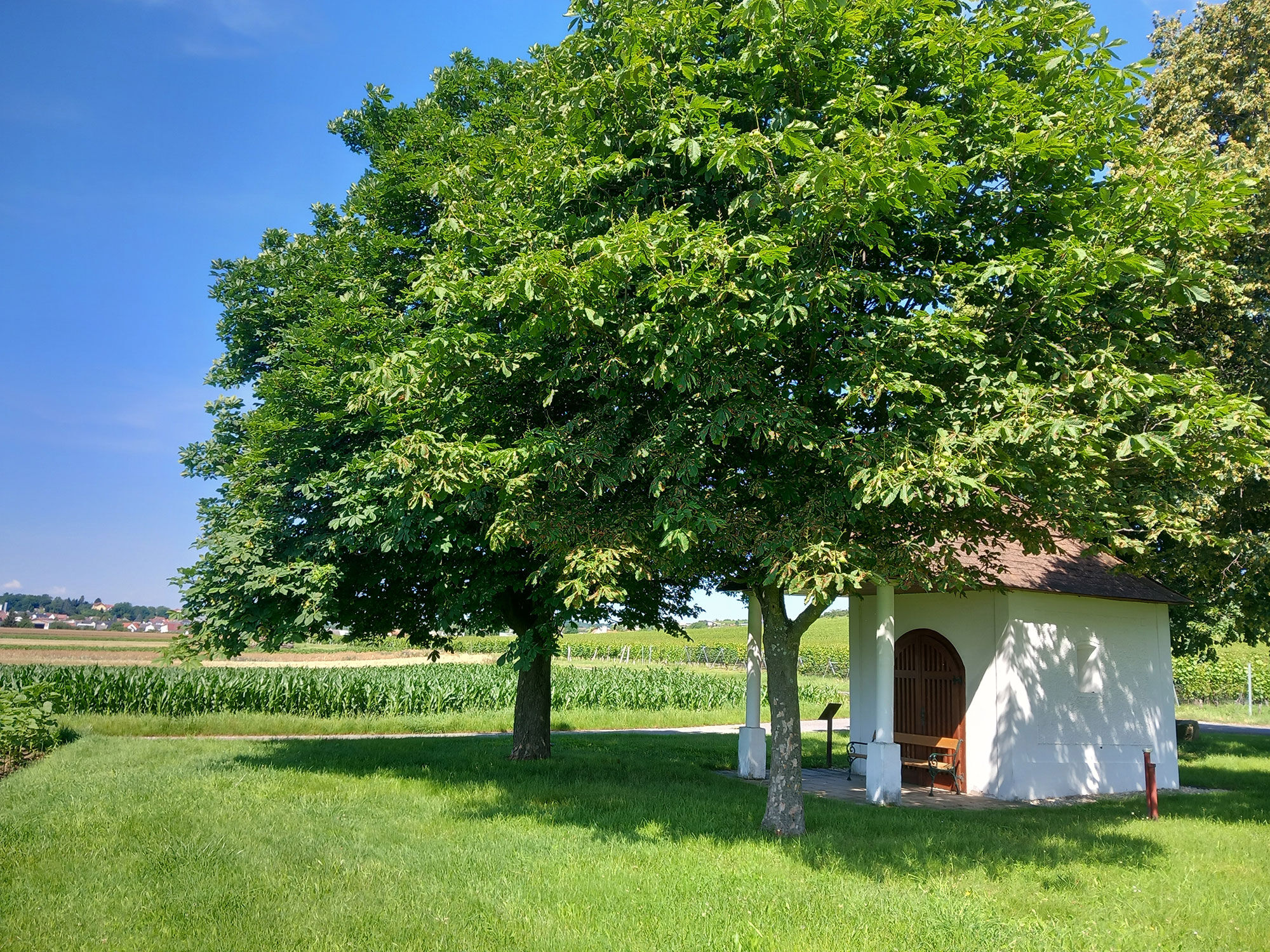
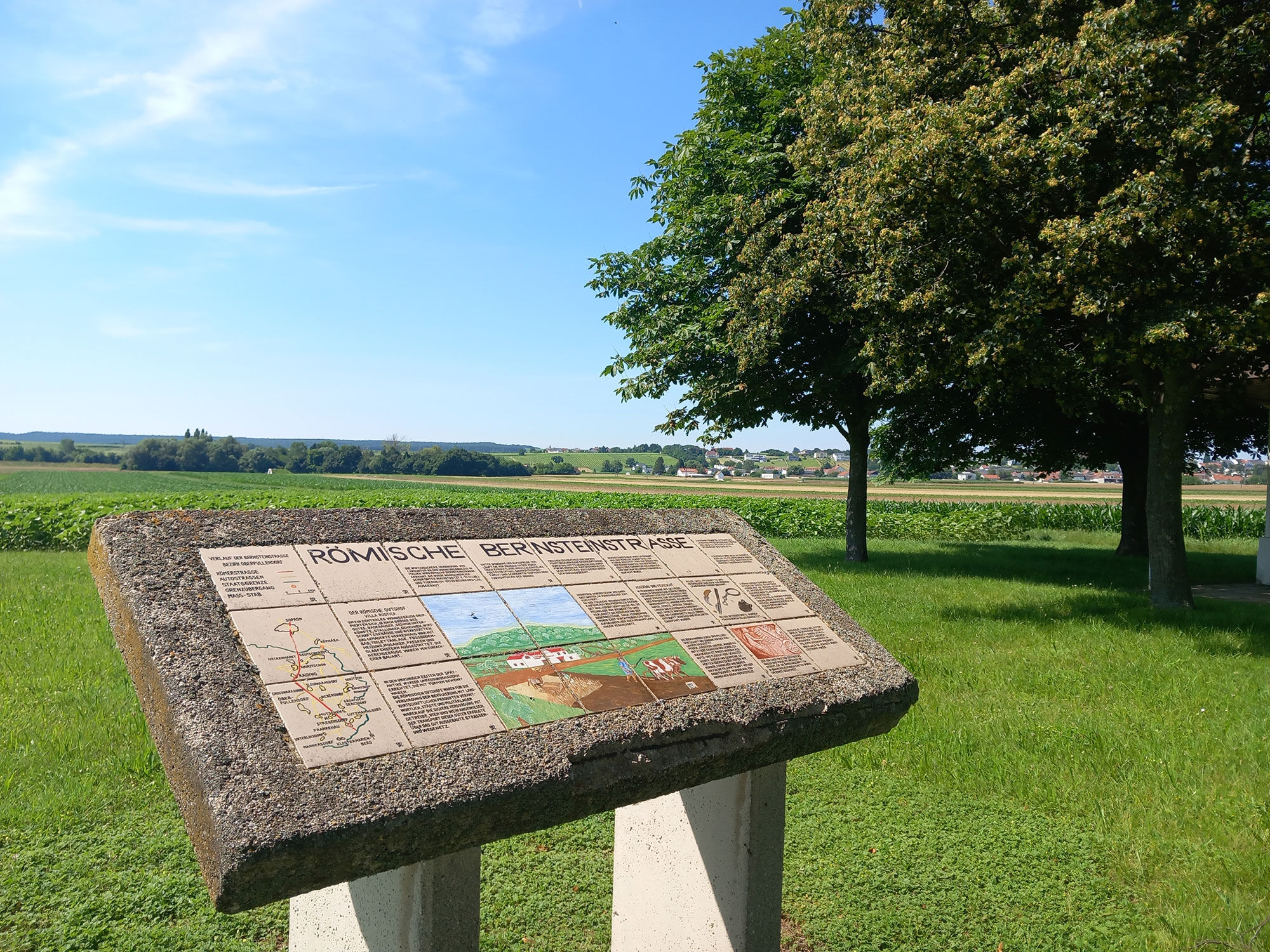

Starting from the inn "Zur Traube" in Herrengasse, you walk a short section on the route of the historic Roman Amber Road. This is highlighted by a display panel at the Florian Chapel. The path then leads you to the district of Haschendorf, where you can admire a prehistoric cult object. This cult object is one of only two bronze objects of its kind worldwide. The replica at the find spot can be viewed and touched. The original is on display in the Museum in Sopron.
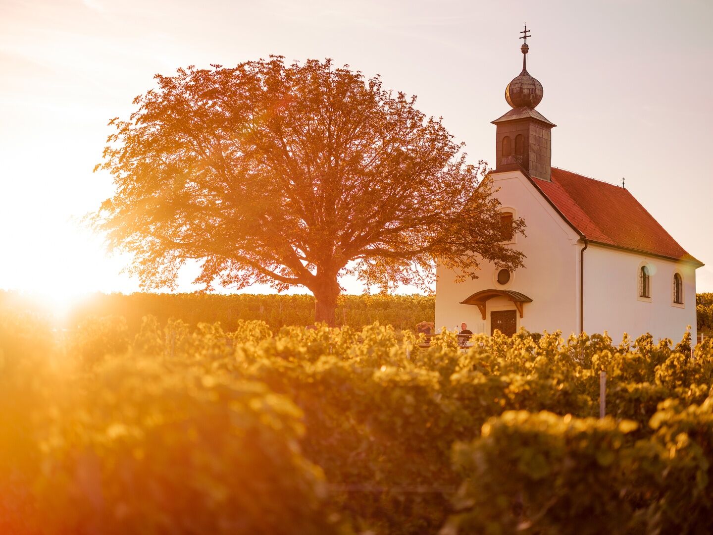
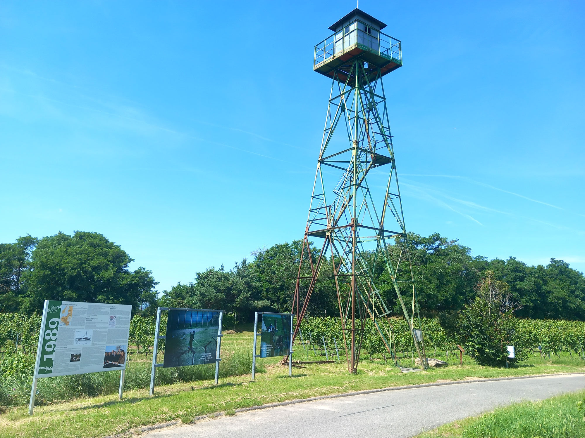
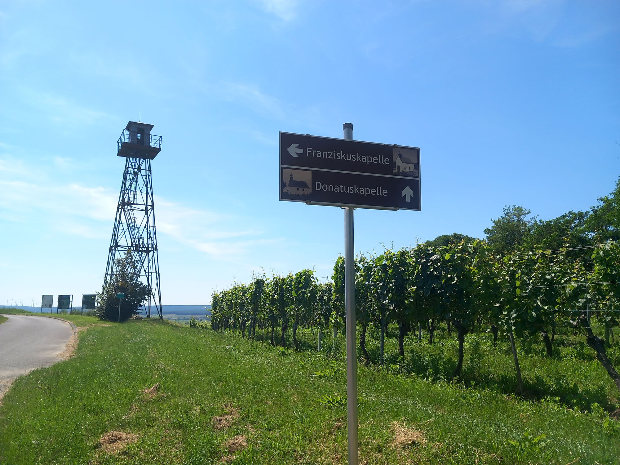
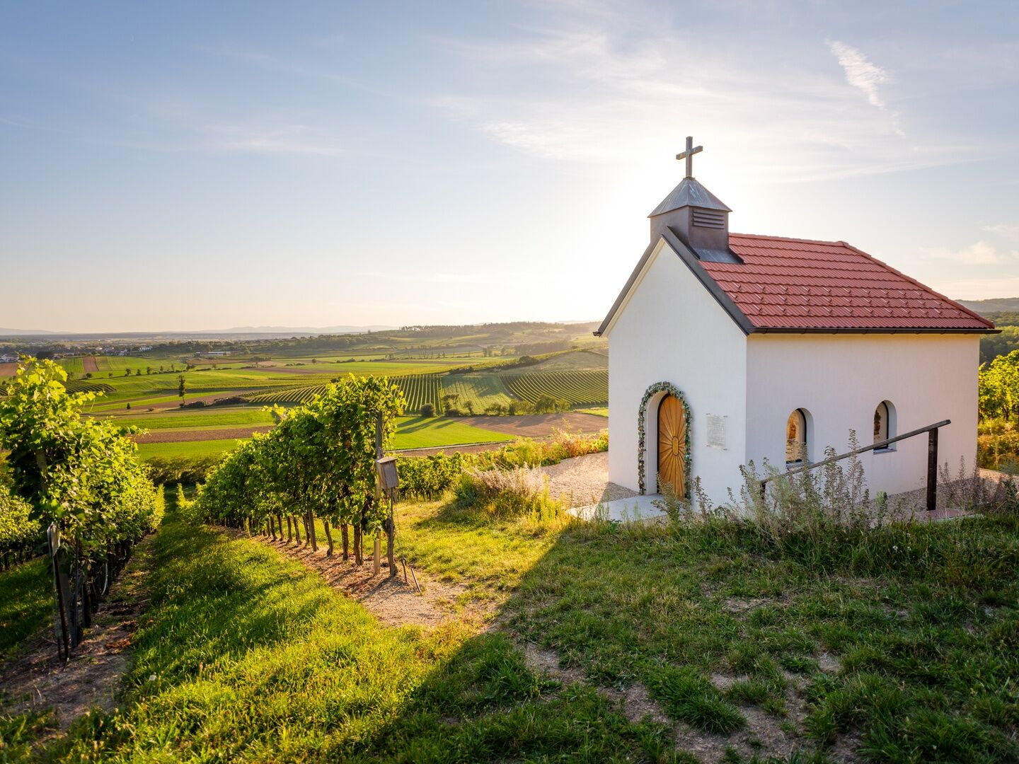
The path passes a boundary stone and border sign at the Austrian-Hungarian state border and leads past the old border tower amidst the vineyards. The topic "border" is informatively presented there on information boards about the history of the Iron Curtain! A short detour to the nearby Franciscan Chapel is also worthwhile. The picturesque chapel and the wonderful view will delight you. Equally impressive is the well-known Donatus Chapel, also called the Weingarten Chapel. Due to its idyllic location and fantastic view – on clear days you can see the shimmering Neusiedler See – it is also a popular wedding venue. After a short detour through the shaded forest and past the Oswald Chapel, you walk back towards the town area. There you cross the premises of the "Winzer Neckenmarkt". Here you can stop for a break, taste the best wines from Neckenmarkt, and take some home before returning to the starting point through the small vineyard behind the premises!
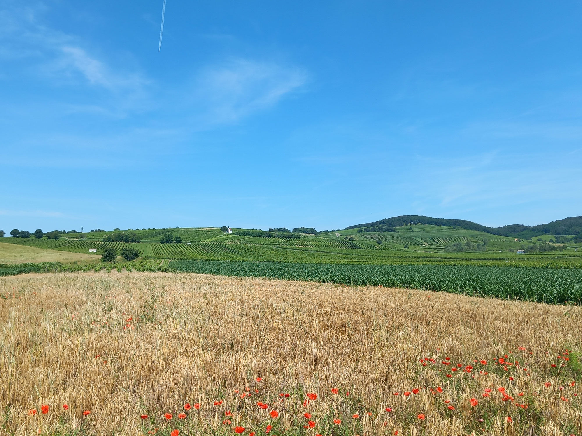
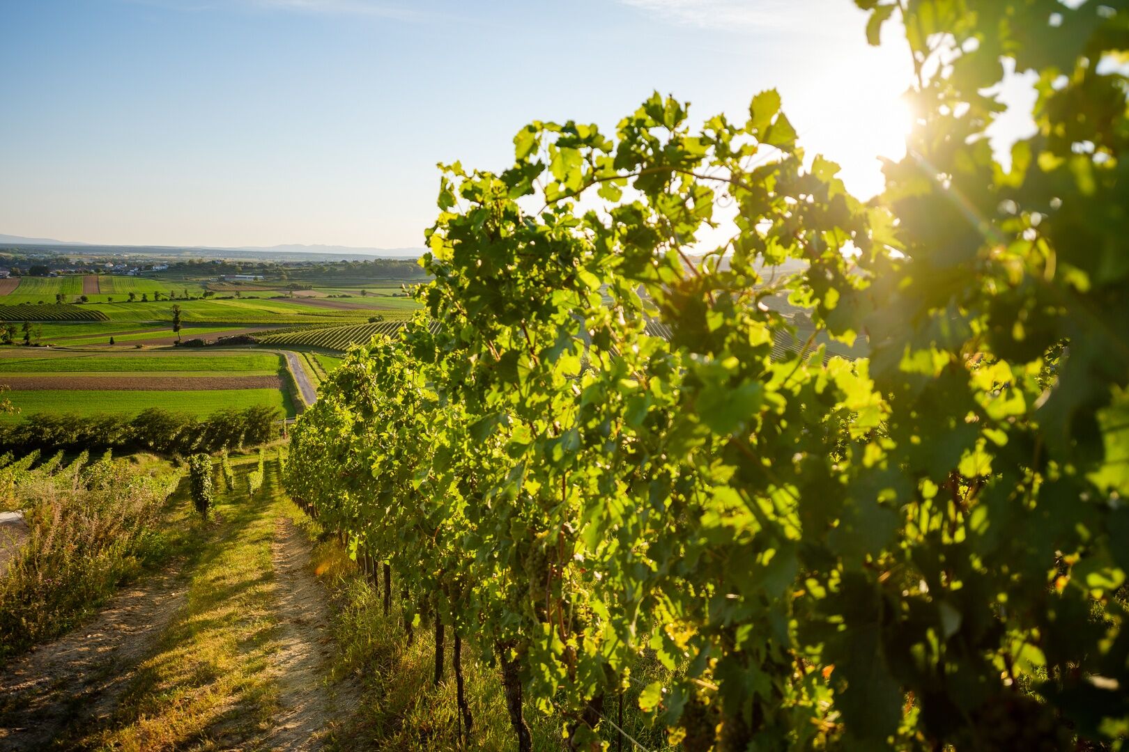
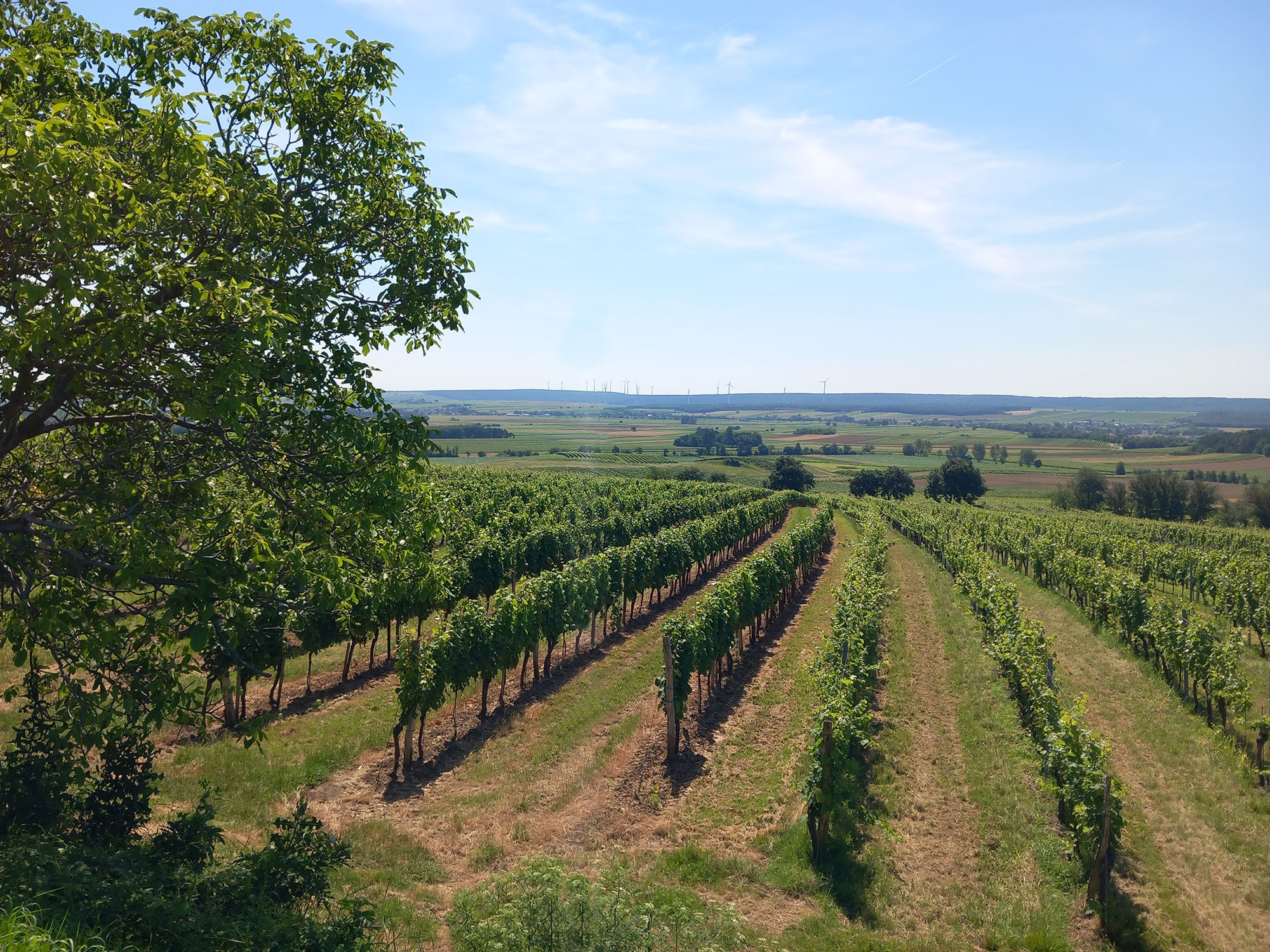
On the first part of the path, you walk on the plain with a constant view of the vineyards on the gentle foothills of the Ödenburg mountains. On the way back to Neckenmarkt, you cross these vine-covered hills and look down from above onto the wide wine landscape extending to the horizon below. The last section of the path leads you through the beginning forests in the border area north of Neckenmarkt. In the background of the vineyards, you have the magnificent forests of Mittelburgenland in view but can see the entire route.
Da
Good footwear, sporty clothing, rain and sun protection, as well as a bottle of drinking water should always be with you.
It is advisable to carry a mobile phone.
A2, S31
Federal and state roads
by bus VOR (Eastern Region Transport Association)
BAST (Burgenland call taxi service)
Parking options in town; the parking lot by the cemetery is recommended, parking is free.
More information at www.mittelburgenland-rosalia.info
In the small, fine local wine shop of Neckenmarkt, you can not only taste and buy wines but also find creative gifts and souvenirs. On the upper floor, for a small entrance fee, you can visit the flag swingers and wine-growing museum.
www.vinothek-neckenmarkt.at
You should also not miss a visit to the "Gasthof Zur Traube." Here, typical Pannonian delicacies like bean stew with cream soup are on the menu. www.zurtraube.at


Priljubljeni izleti v okolici
-
4.6
B32 Rosalia Bicycle Trail
srednjaKolesarjenje 58.8 km -
4.5
Südrunde Neusiedlersee - Illmitz, Burgenland/Österreich
svetlobaKolesarjenje 65.9 km -
4.4
Neusiedlersee Radweg B10
srednjaKolesarjenje 114.9 km -
4.0
B40 Red Wine Cycle Route
srednjaKolesarjenje 38.7 km -
2.9
Sonnenland Draisinentour
svetlobaKolesarjenje 23.0 km -
4.5
B30 Kogel Bike Trail
srednjaKolesarjenje 32.0 km -
3.1
Circular hike to the Herrentisch
srednjaPohodništvo 13.7 km -
4.7
NaNaNa discovery route - The Rohrbach pond meadows
svetlobaPohodništvo 5.73 km -
5.0
Draßburger Wald: Marzer Kogel und Rohrbacher Teichwiesen
svetlobaPohodništvo 9.02 km -
5.0
AMBER TRAIL East route | enjoyable hiking between the Alps and Puszta
srednjaPohodništvo v daljavo 314.8 km

Pohodništvo in sledenje


Ne zamudite ponudb in navdiha za naslednje počitnice
Vaš e-poštni naslov je bil dodan na poštni seznam.





