


Furmint Trails Stage 4: Heiligenkreuz in the Lafnitz Valley – Bad Radkersburg

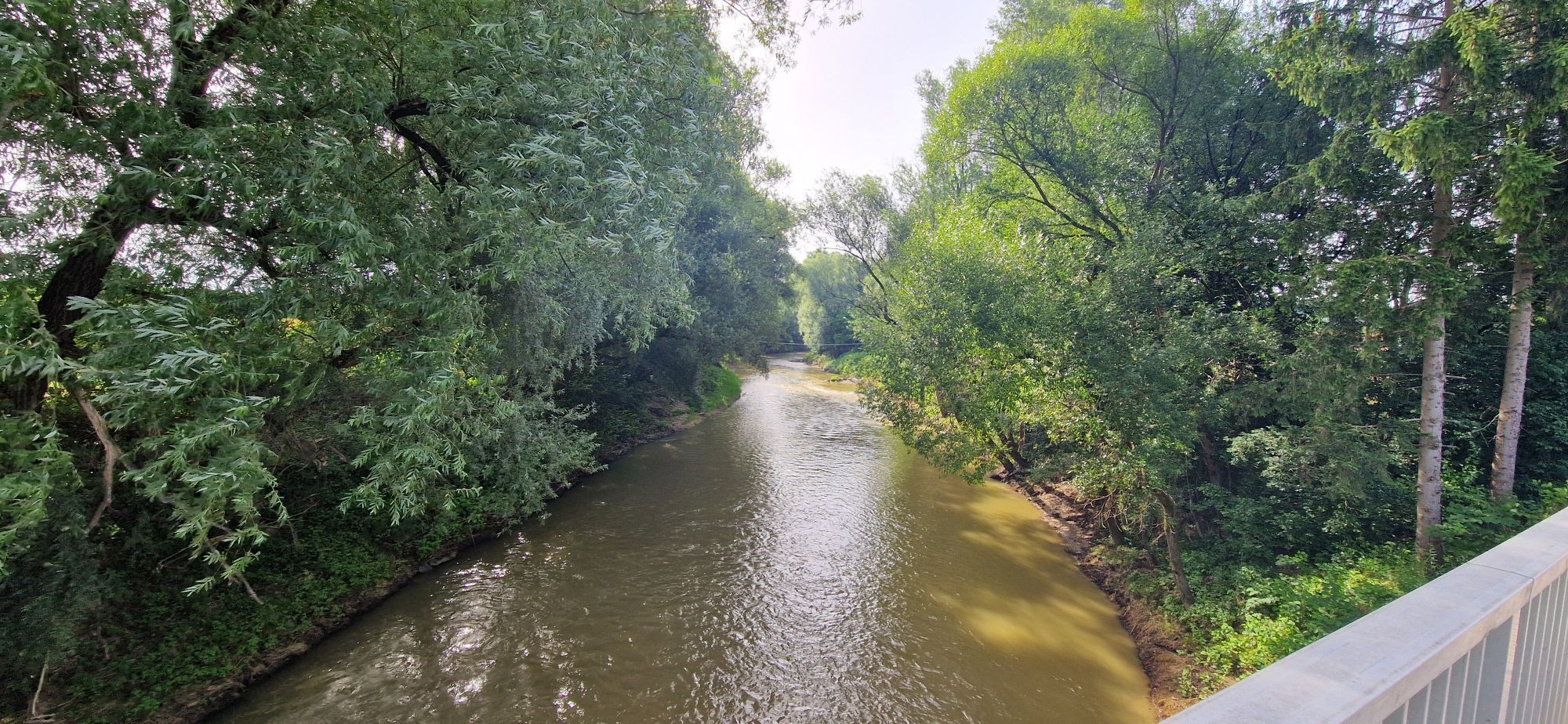
Stage 4 takes you through the industrial center to St. Gotthard in Hungary. At the confluence of the Lafnitz and Raab rivers, you cross both rivers and follow the route through the town to the historically...
Stage 4 takes you through the industrial center to St. Gotthard in Hungary. At the confluence of the Lafnitz and Raab rivers, you cross both rivers and follow the route through the town to the historically significant market municipality of Mogersdorf. Here, an Ottoman force was defeated in the Battle of Schlösslberg in 1664.
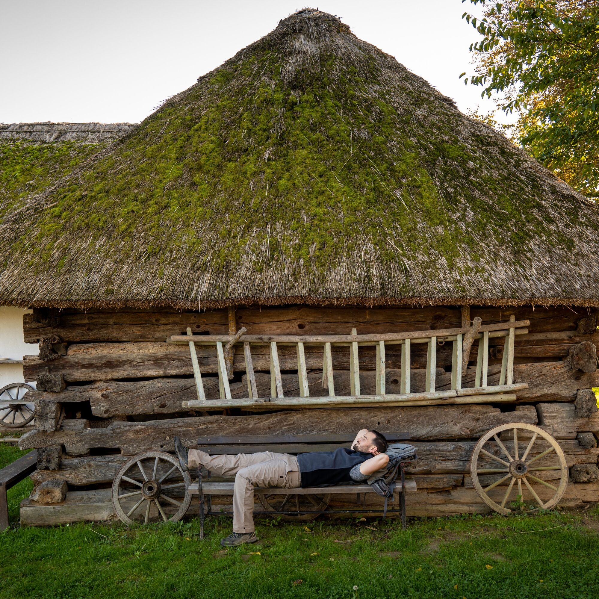
After passing through Weichselbaum, be sure to visit the artist village of Neumarkt an der Raab. The thatched farmhouses, the village gallery, the historic oil mill, and the oldest cinema in Burgenland create a very special atmosphere.
Soon after, you reach St. Martin an der Raab, whose late Baroque parish church is visible from afar. History enthusiasts should visit the Roman museum, which offers fascinating insights into the ancient Roman past of the region. Along the Doiberbach, you reach Windisch-Minihof, where the lovingly preserved Jost mill invites you to visit. Another tip from the district of Tauka is a detour to the tripoint Austria-Hungary-Slovenia.
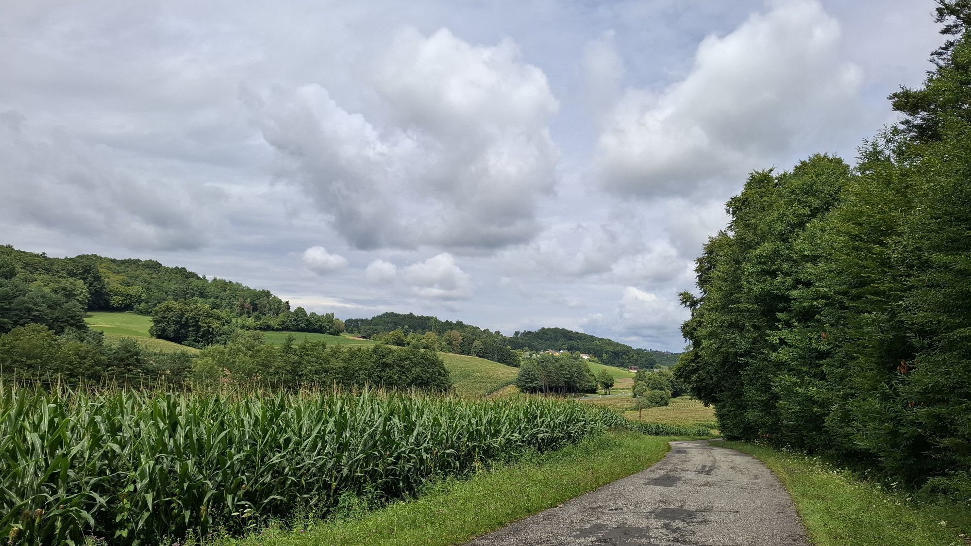
The Furmint Trail leaves Burgenland and thus also Austria shortly after Minihof-Liebau and leads through the hilly landscape of the GoriÄko region in the far northeast of Slovenia. This area was densely forested for a very long time and was therefore never heavily settled. In addition, the region experienced very strong emigration toward the end of the 19th century because the phylloxera destroyed almost all vineyards, thereby destroying the livelihoods of many people. Today, the idyllic area is part of the cross-border nature park Raab-Årség-GoriÄko.
The route passes through the scattered villages of Kuzma, Gornji SlaveÄi, Dolnji SlaveÄi, and RopoÄa, to reach Styrian and thus Austrian territory again at Zelting. Shortly thereafter, you arrive in the historic small town of Bad Radkersburg with its very well-preserved old town center. The lovingly restored townhouses, the narrow alleys, and the main square invite you to explore. Particularly remarkable is the Palais Herberstorff with its three-story Renaissance arcaded courtyard.

Priljubljeni izleti v okolici
- 4.6
Weinweg der Sinne in St. Anna am Aigen
srednjaTematska pot 13.7 km - 3.9
Klöcher Rundwanderung
svetlobaPohodništvo 7.29 km - 4.4
Erlebensweg der Sinne in Unterlamm
svetlobaPohodništvo 14.2 km - 4.7
Kleiner Höhenrundweg / Weg 5
svetlobaPohodništvo 6.75 km - 5.0
Smuggler's Route
Pohodništvo 8.03 km - 4.6
Aussichtswarte Frutten- Gießelsdorf
svetlobaPohodništvo 7.32 km - 4.8
Sonnengesangsweg
svetlobaPohodništvo 4.57 km - 3.6
Raabtaltour - FF 17
svetlobaKolesarjenje 37.5 km - 4.6
Weintour FB5
srednjaKolesarjenje 45.4 km - 4.1
Dreiländereck Österreich-Ungarn-Slowenien - Start Gasthaus Lang, Kölbereck-Oberdrosen
svetlobaPohodništvo 2.25 km
Pohodništvo in sledenje


Ne zamudite ponudb in navdiha za naslednje počitnice
Vaš e-poštni naslov je bil dodan na poštni seznam.