







Gürbe - Sense Stage 1 (SchweizMobil 74)

Stopnja težavnosti: 2
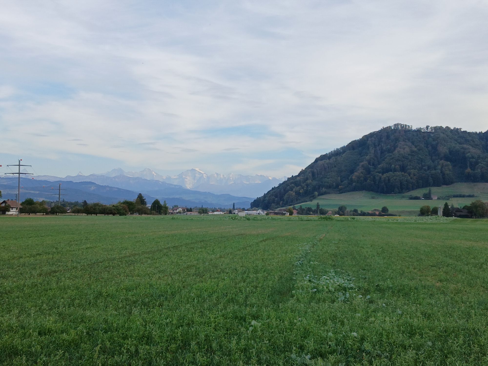
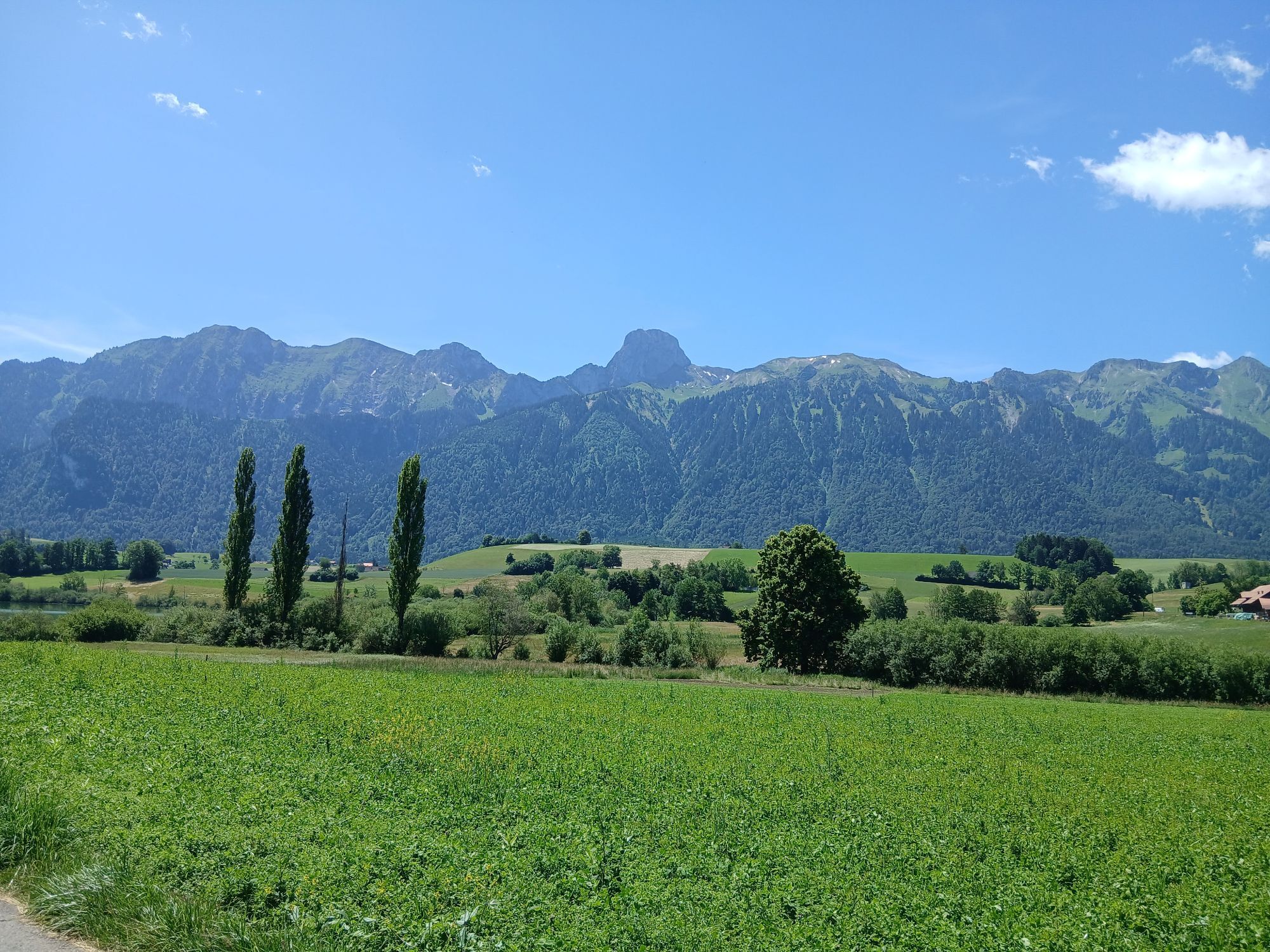
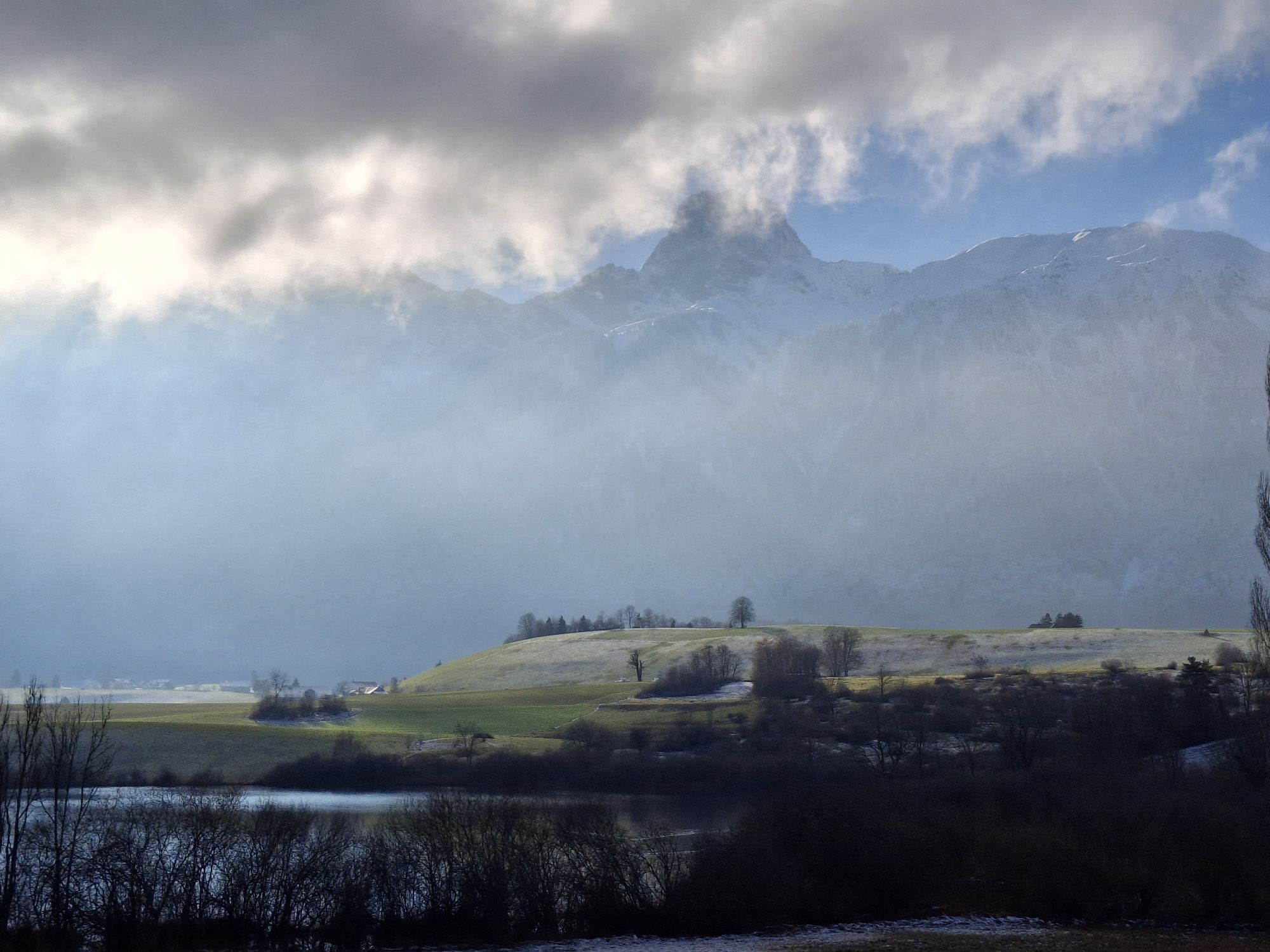
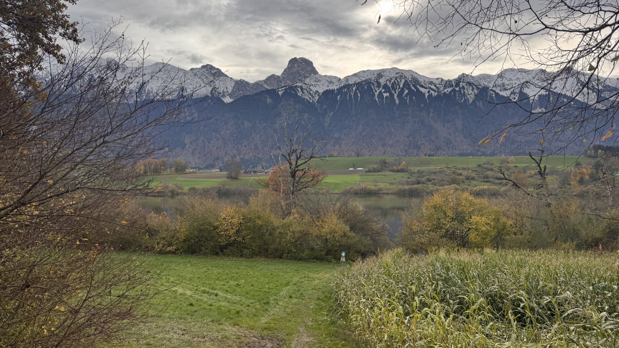
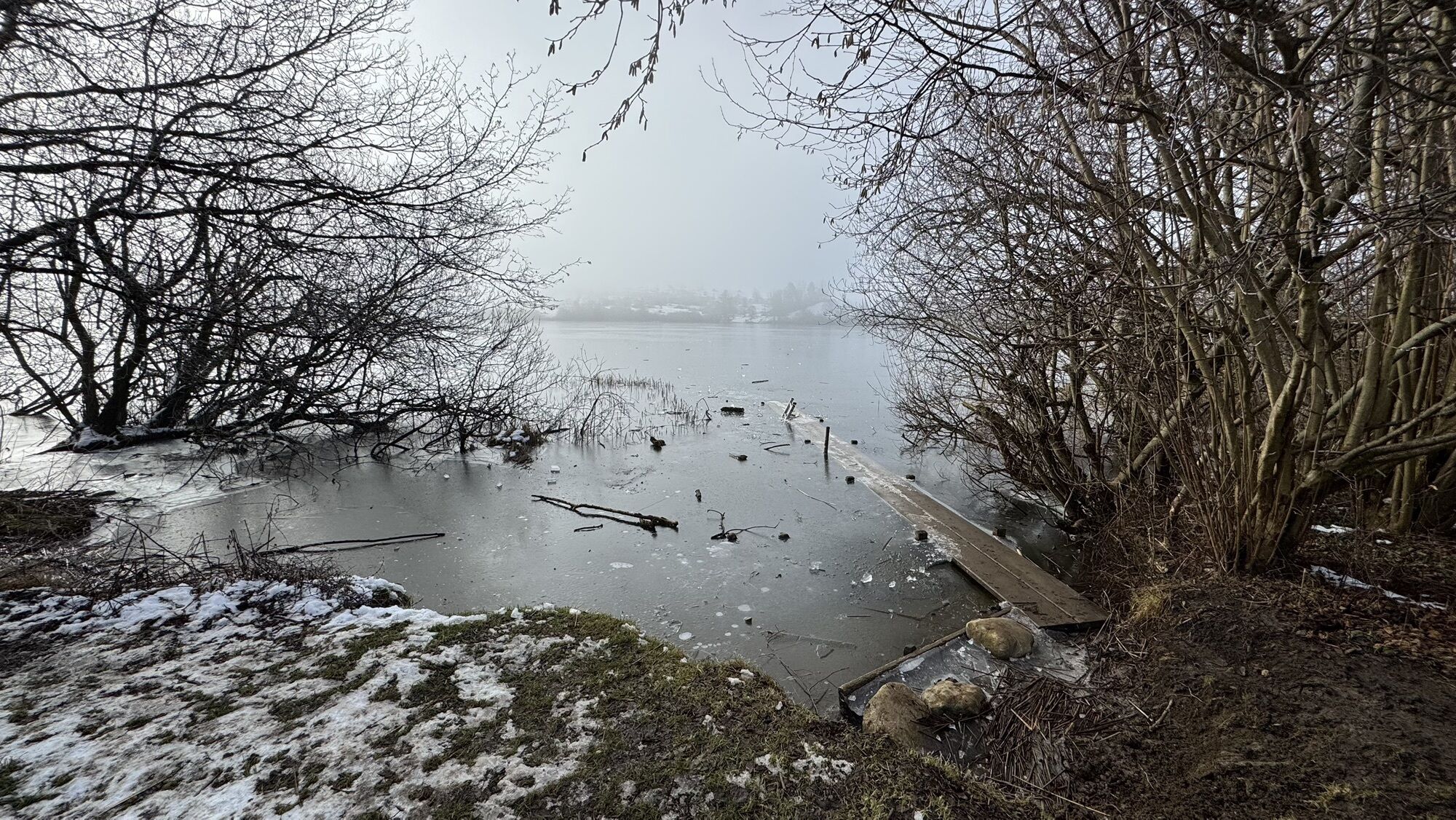
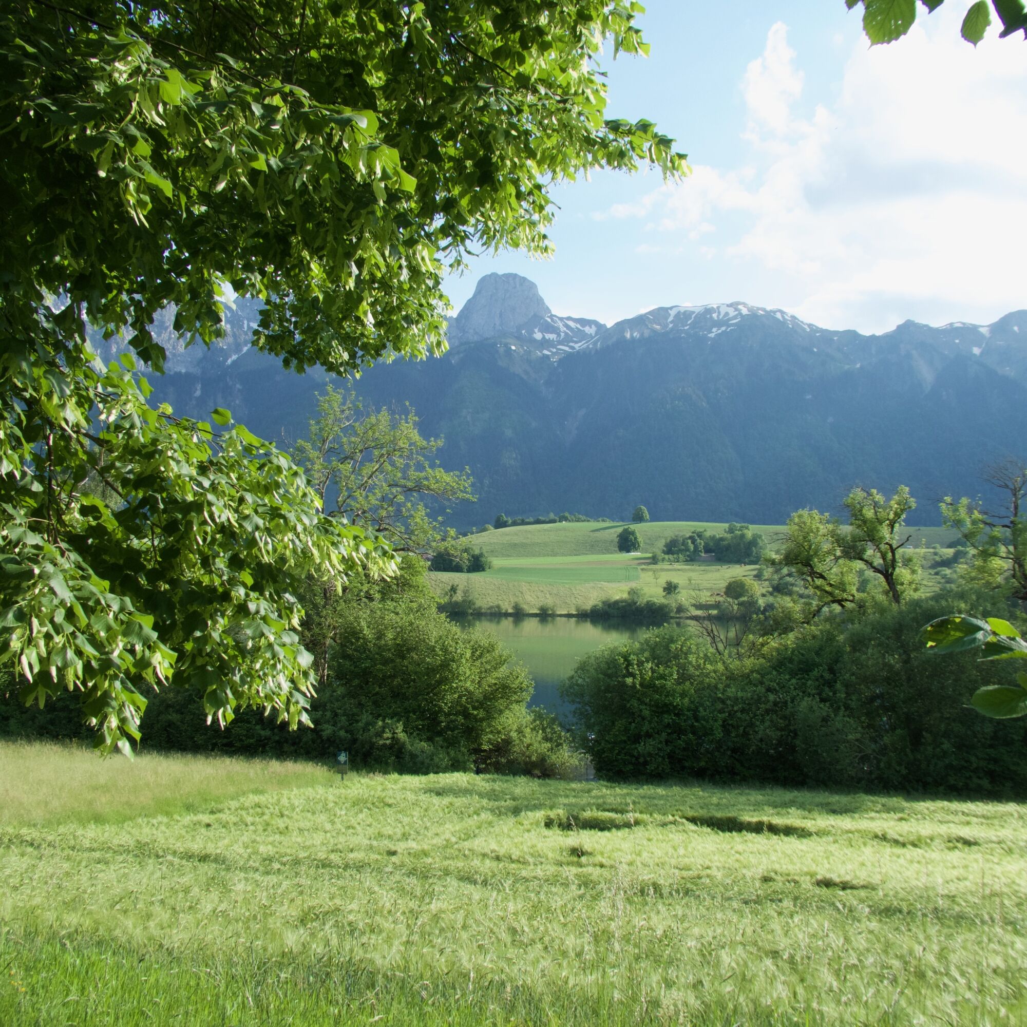
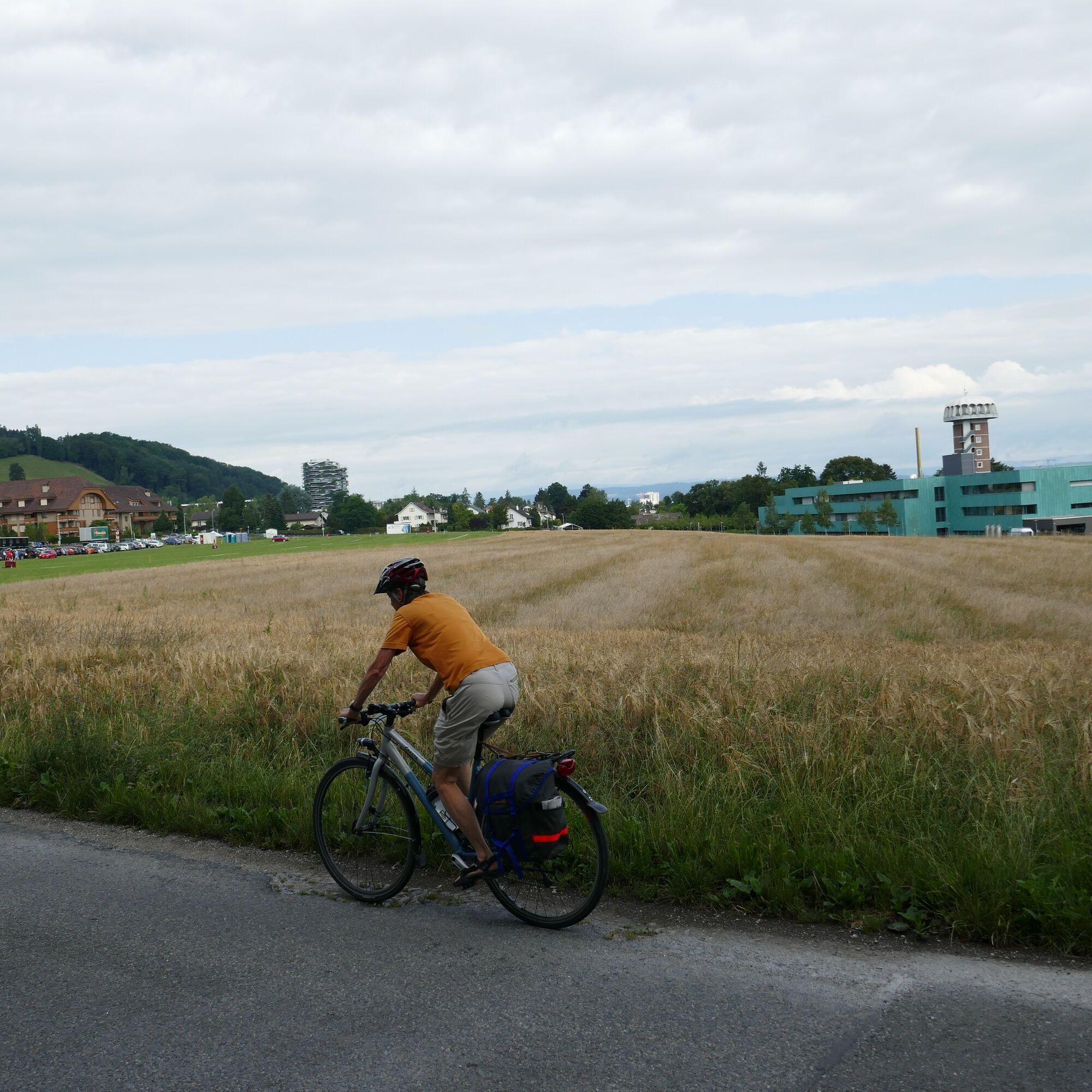
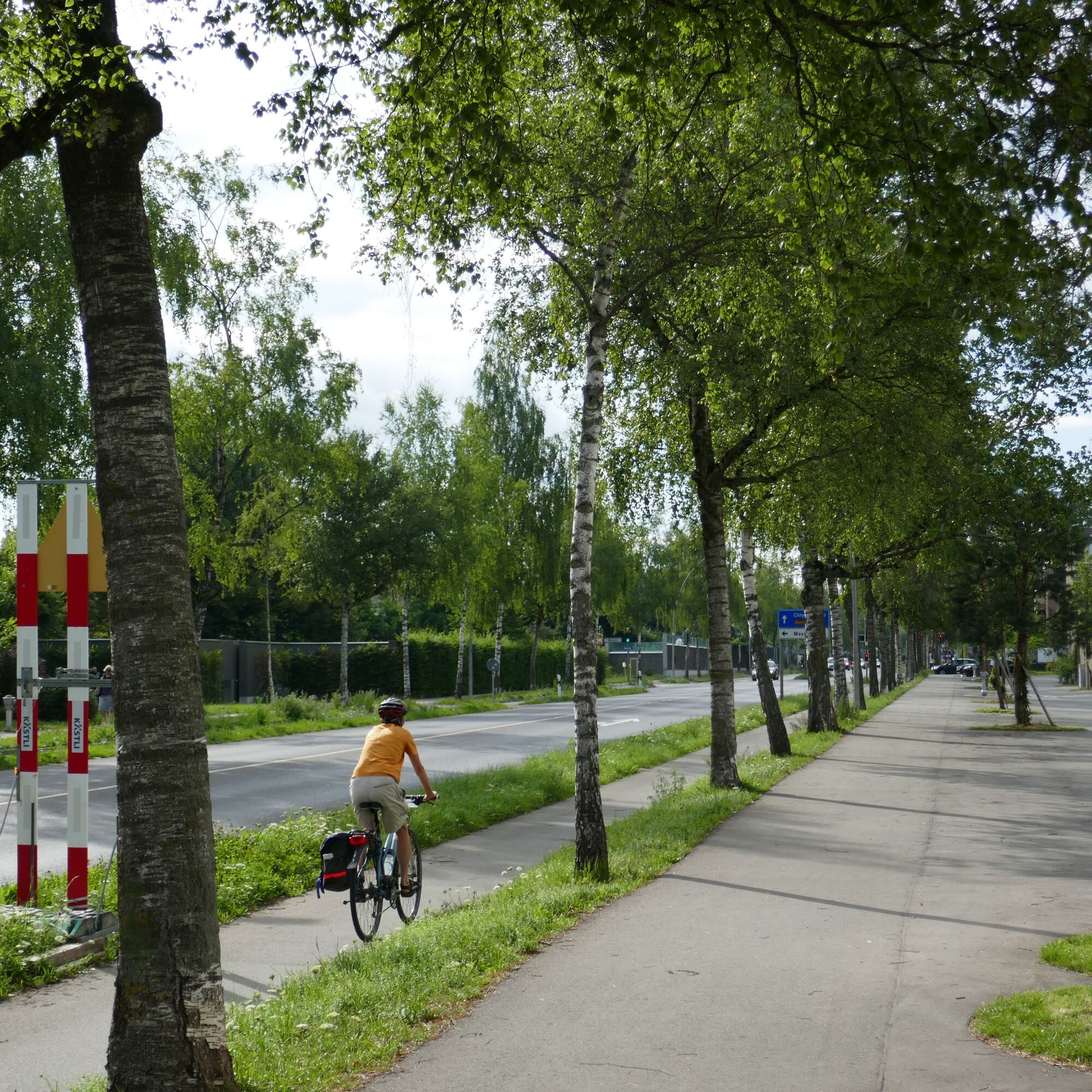
A «back-and-forth» route from Thun Amsoldingen to Bern crosses the valley plains and hills in the southwest of Bern. The path leads past small, mostly warm moraine lakes, such as Amsoldinger or Uebeschisee,...
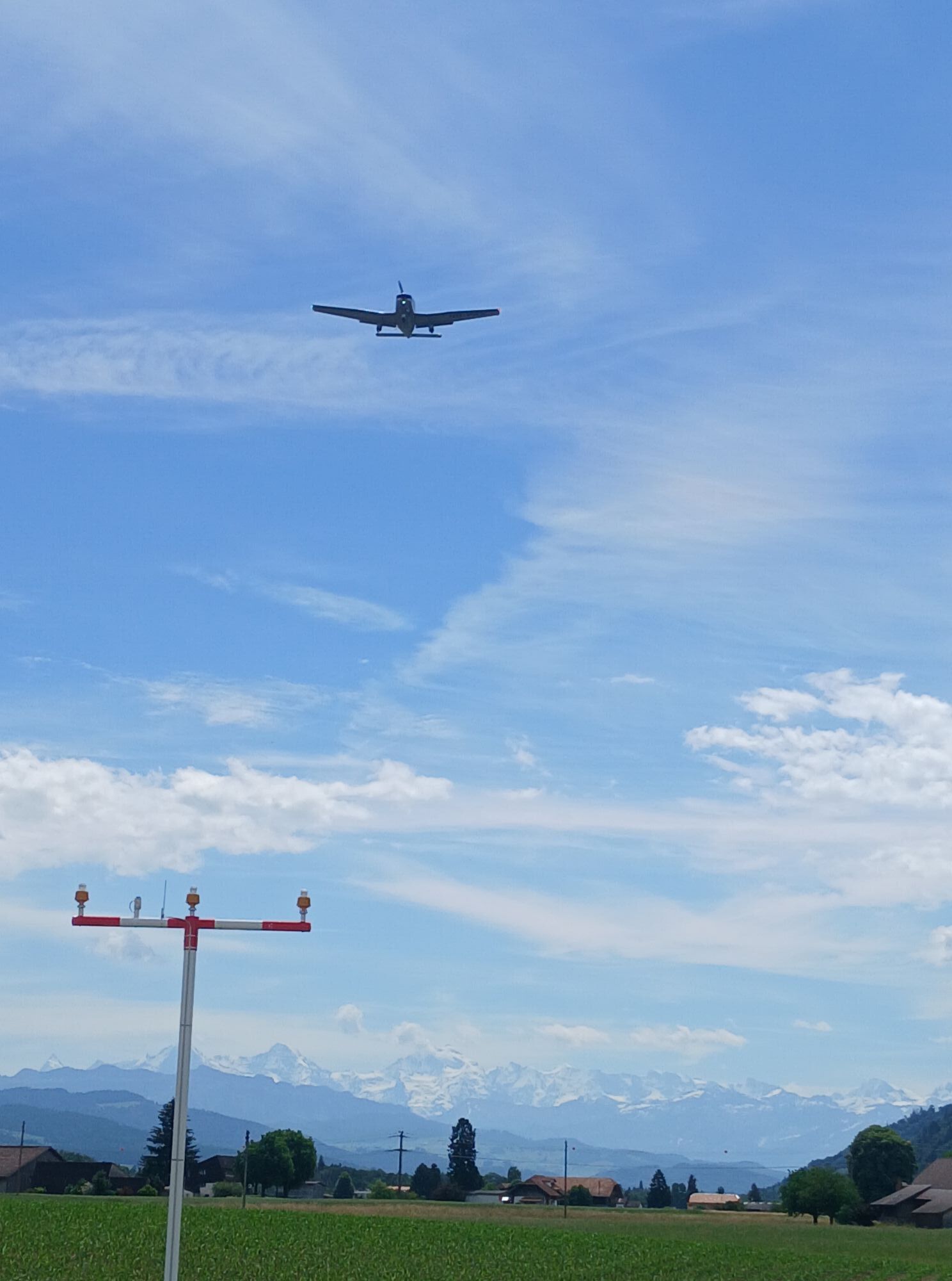
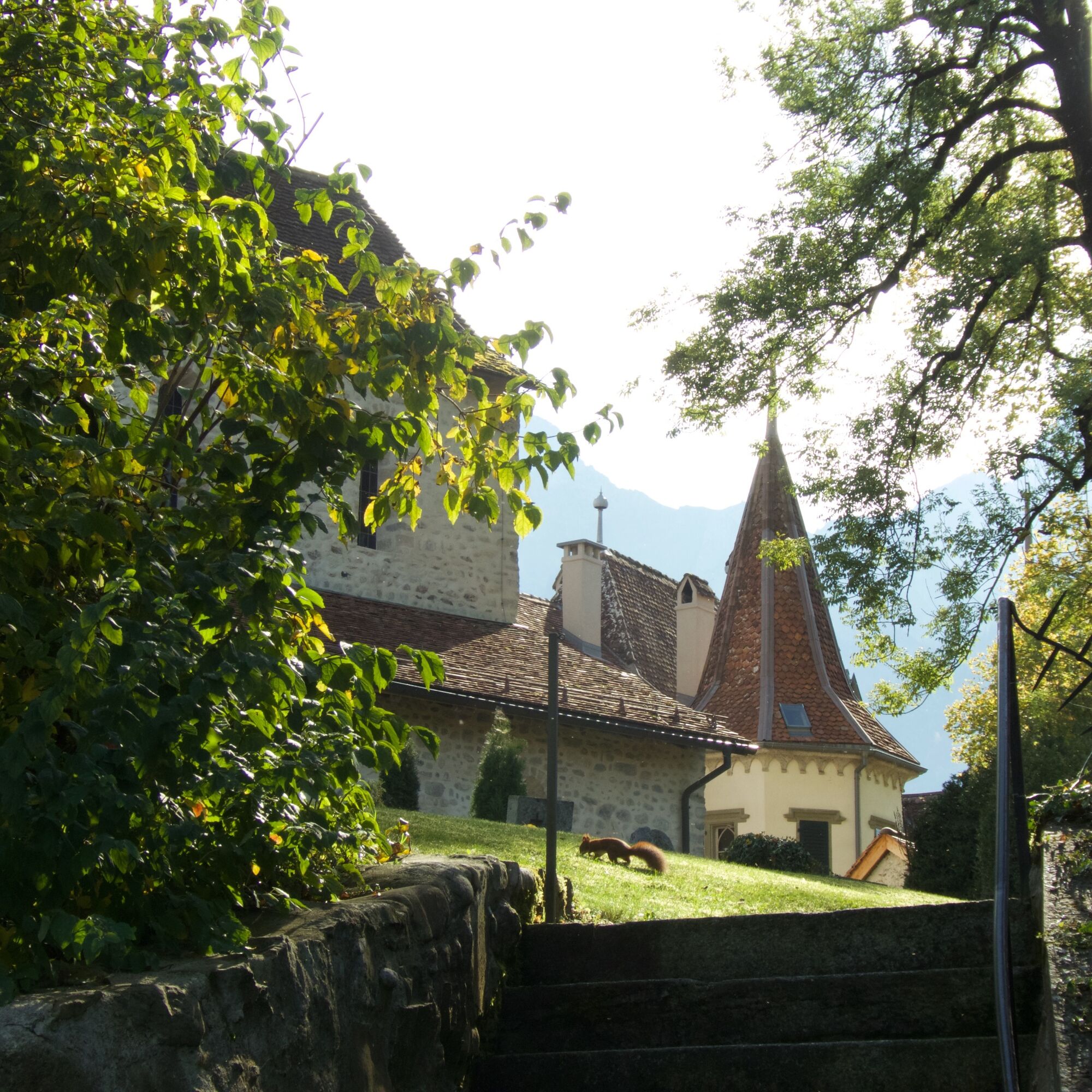
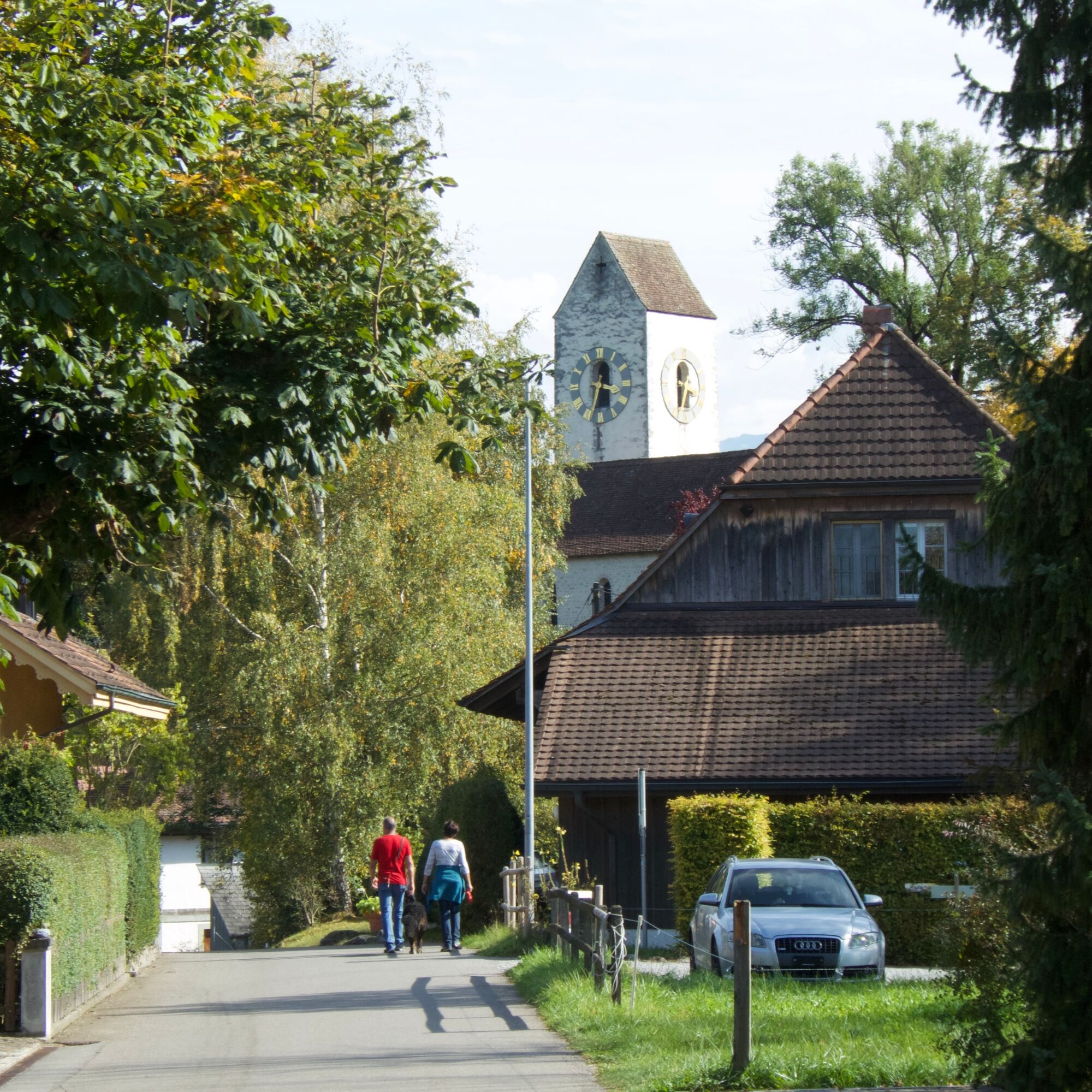
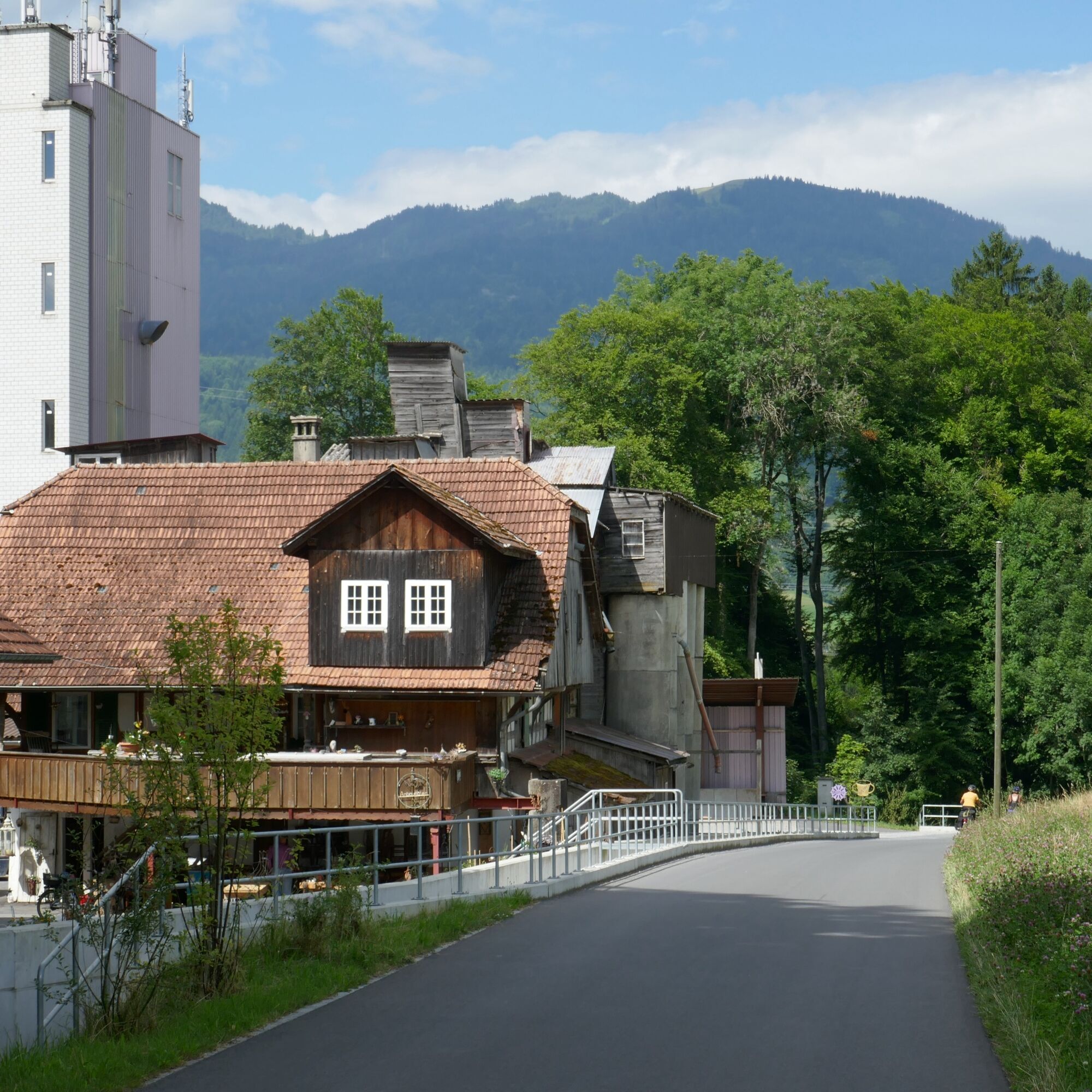
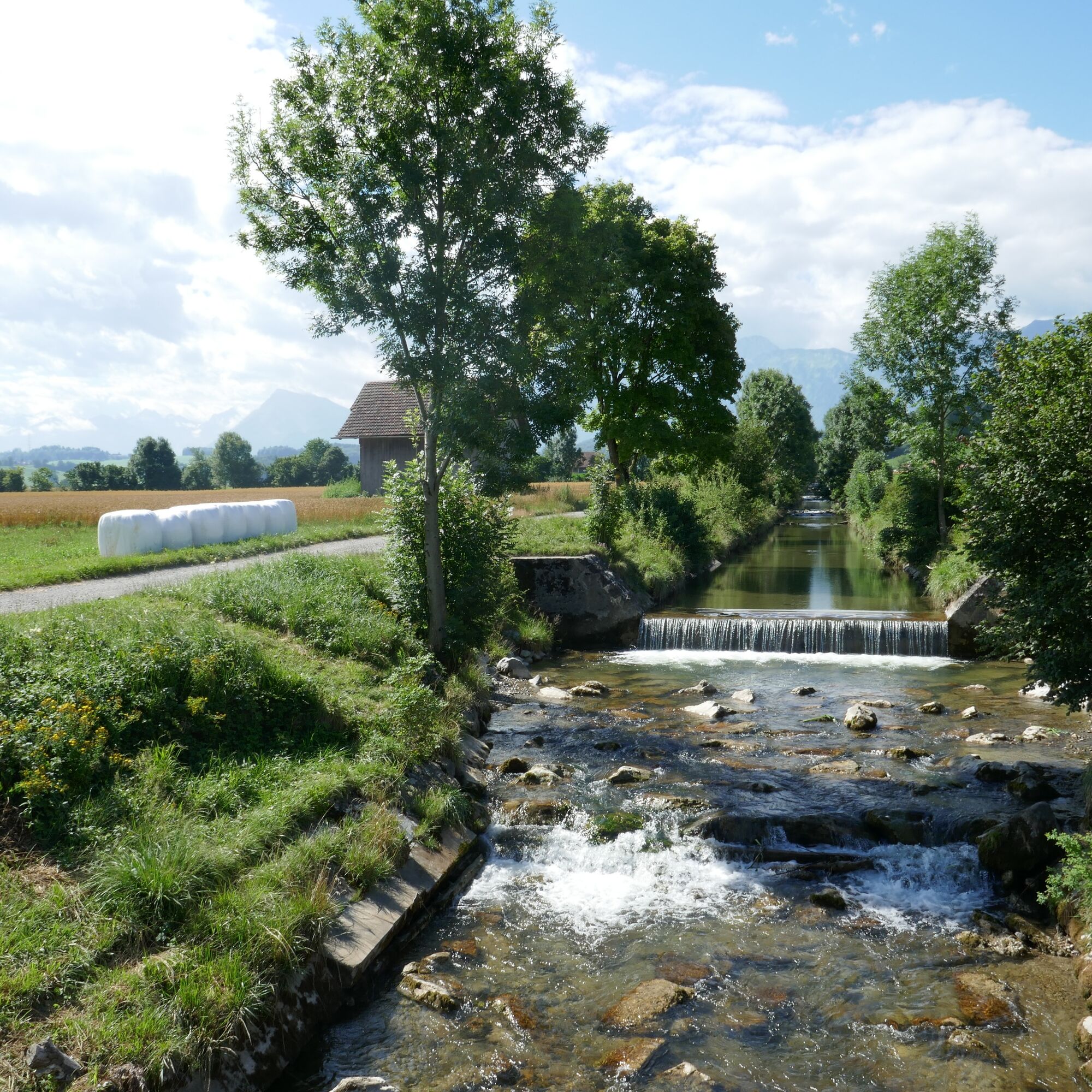
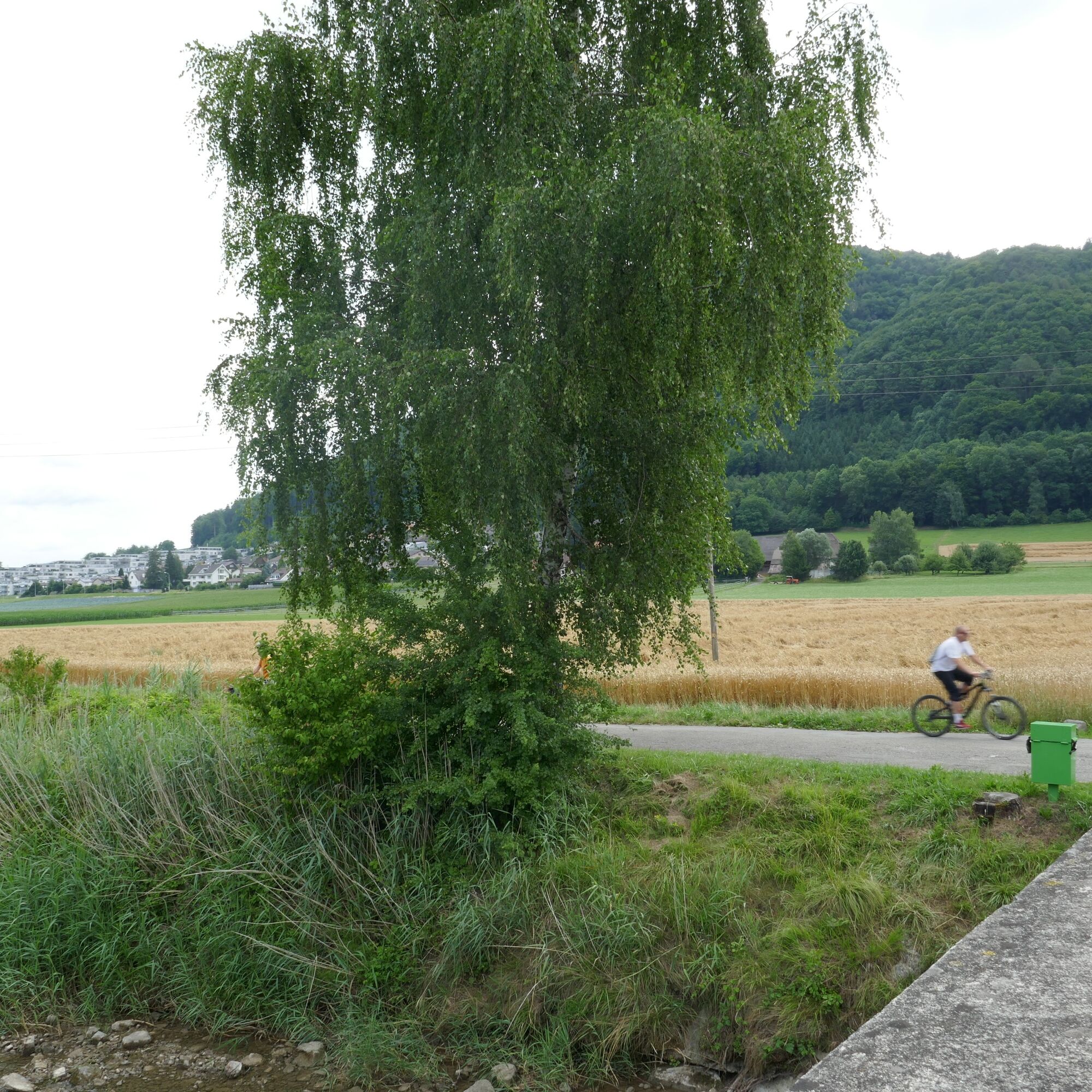
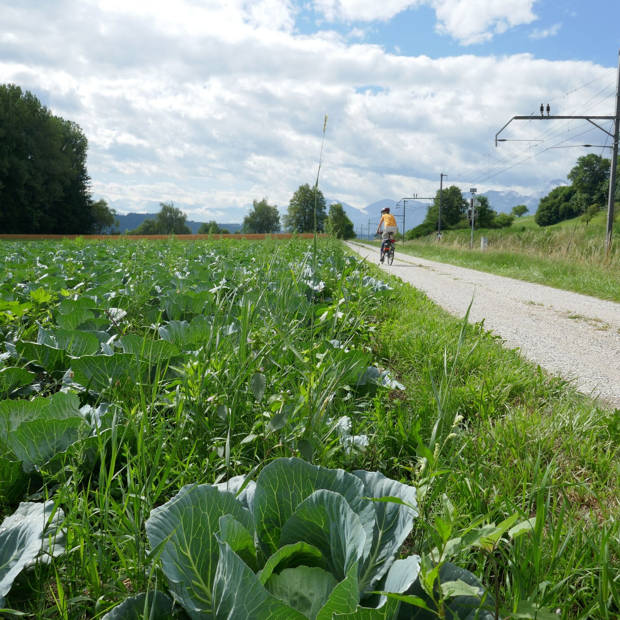
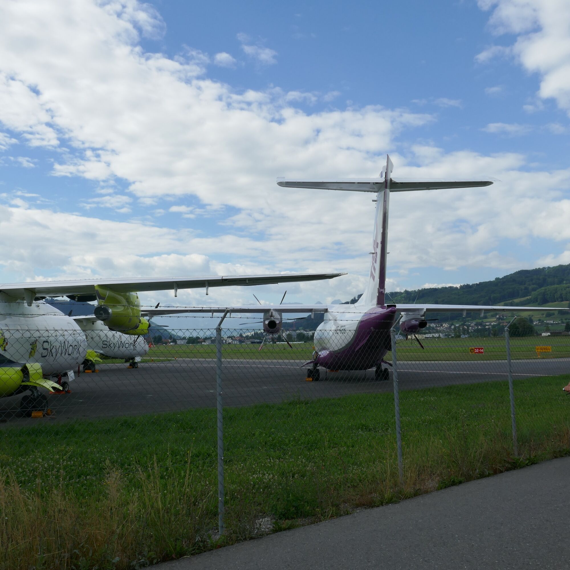
A «back-and-forth» route from Thun Amsoldingen to Bern crosses the valley plains and hills in the southwest of Bern. The path leads past small, mostly warm moraine lakes, such as Amsoldinger or Uebeschisee, into the Gürbetal plain. The strictly geometric pattern of the reclaimed moor is broken up by old peat huts and lone trees. It rolls easily through the Chabisland, often on a bank path along the Gürbe. After Belp, light aircraft and silvery small jets from Belpmoos airport conquer Bern's airspace.
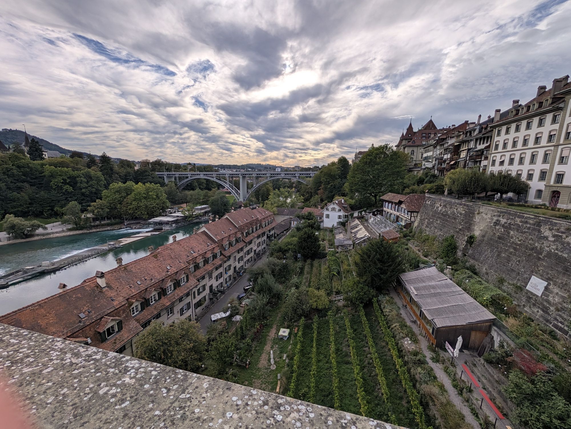
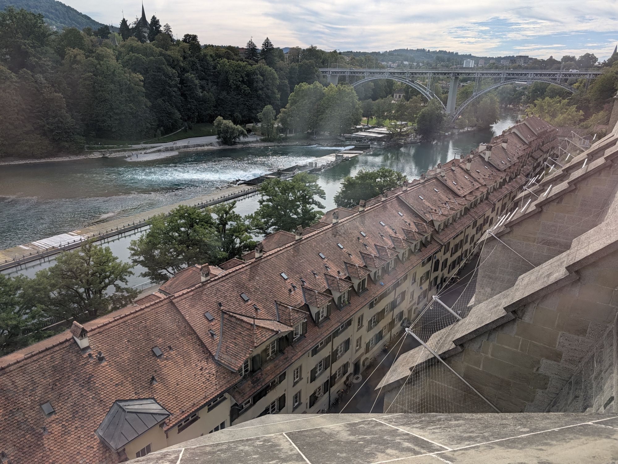
You stay on the ground and dive right into the federal capital, passing the Bear Pit and the Federal Palace. Previously, the view of the Old Town with its arcades, the Zytglogge and numerous figure fountains from the 16th century accompanied us.


Normal bicycle equipment
Weather-appropriate clothing
Bicycle rental
2
Spletne kamere s turneje

Priljubljeni izleti v okolici
-
4.5
Vreneli Trail Guggisberg
srednjaTematska pot 5.35 km -
5.0
Gürbetal High Trail (SwitzerlandMobility 380)
srednjaPohodništvo 18.2 km -
5.0
Aare Thun-Bern
srednjaKajak / Kanu 27.5 km -
5.0
Rund um Bern
svetlobaPohodništvo 50.0 km -
Selibühl Panoramatrail (SchweizMobil 113)
svetlobaSnežni čevlji 4.34 km -
4.5
Gantrisch Königsroute (SchweizMobil 502)
težkoMountainbike 30.4 km -
5.0
Schwarzwasser-Sense Gorge Path Stage 1 (SchweizMobil 381)
svetlobaPohodništvo 11.4 km -
5.0
Boucle depuis Sodbach
svetlobaPohodništvo 8.62 km -
5.0
Belpberg route (SchweizMobil 361)
težkoKolesarjenje 40.9 km -
Oberbalm-Bütschelegg-Riggisberg
svetlobaPohodništvo 16.4 km
Pohodništvo in sledenje


Ne zamudite ponudb in navdiha za naslednje počitnice
Vaš e-poštni naslov je bil dodan na poštni seznam.





