


Winter hike to Ostlerhütte
Stopnja težavnosti: 2


Fotografije naših uporabnikov

 © Ralf ZehendnerUstvarjeno na 08.11.2025
 © Ralf ZehendnerUstvarjeno na 08.11.2025
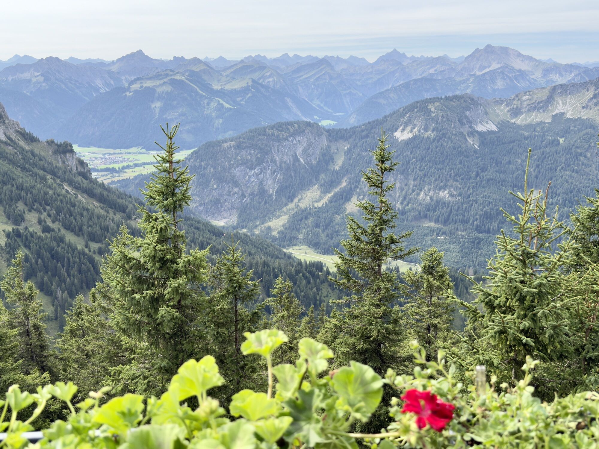
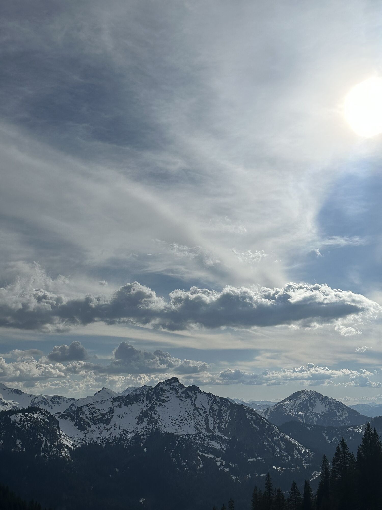
 © Margarita HildermannUstvarjeno na 07.09.2025
 © Margarita HildermannUstvarjeno na 07.09.2025
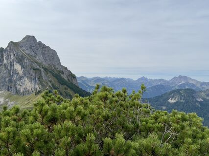 © Margarita HildermannUstvarjeno na 07.09.2025
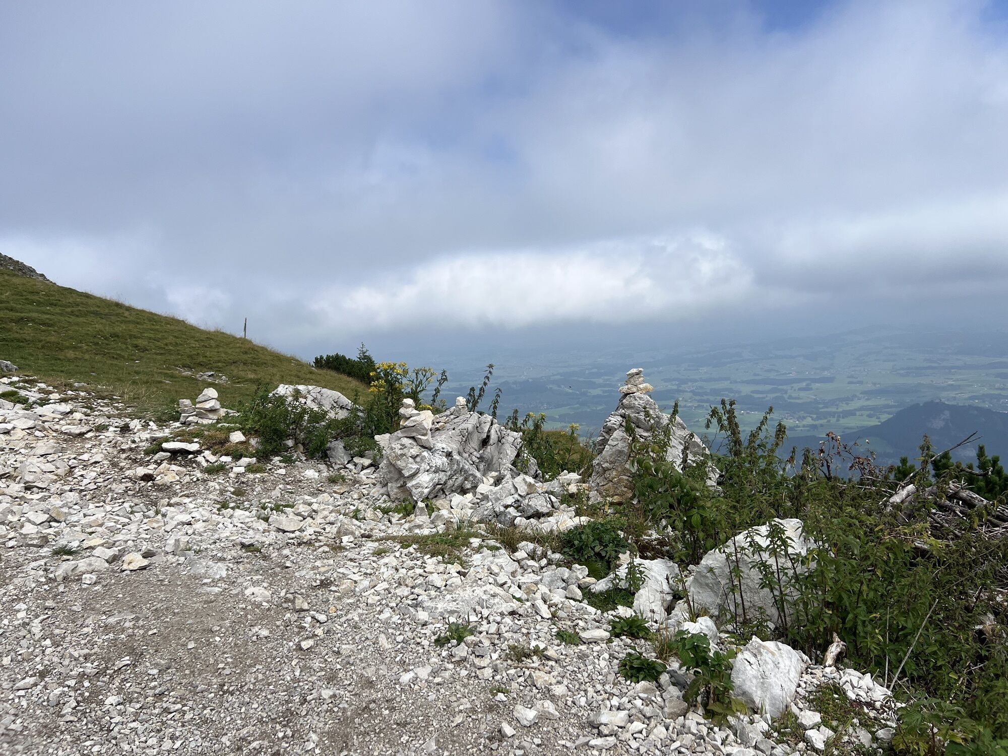
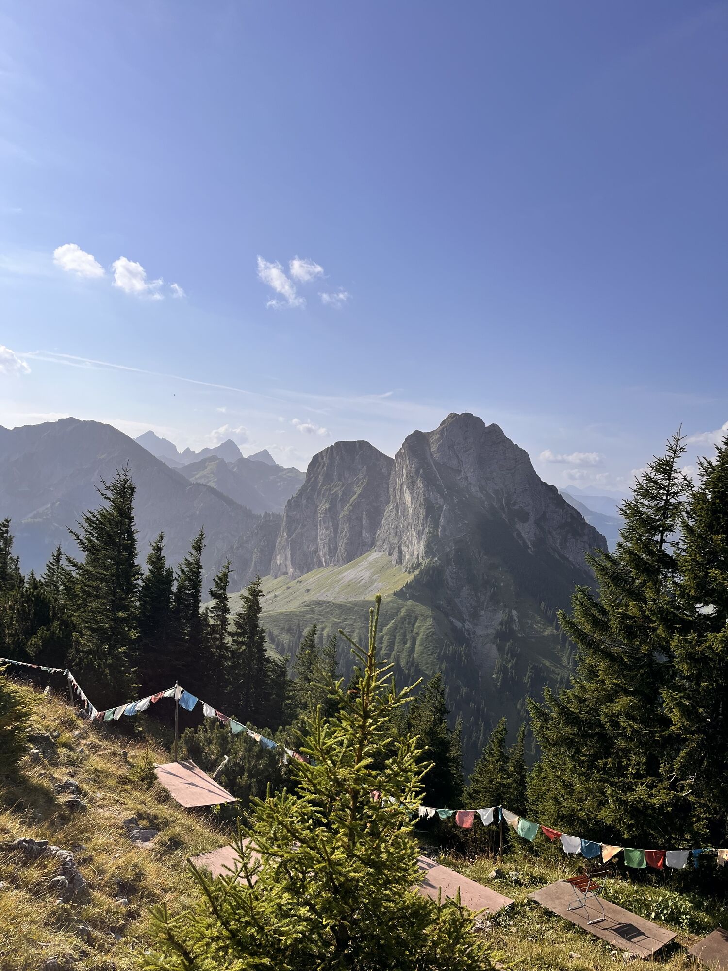
 © Margarita HildermannUstvarjeno na 07.09.2025
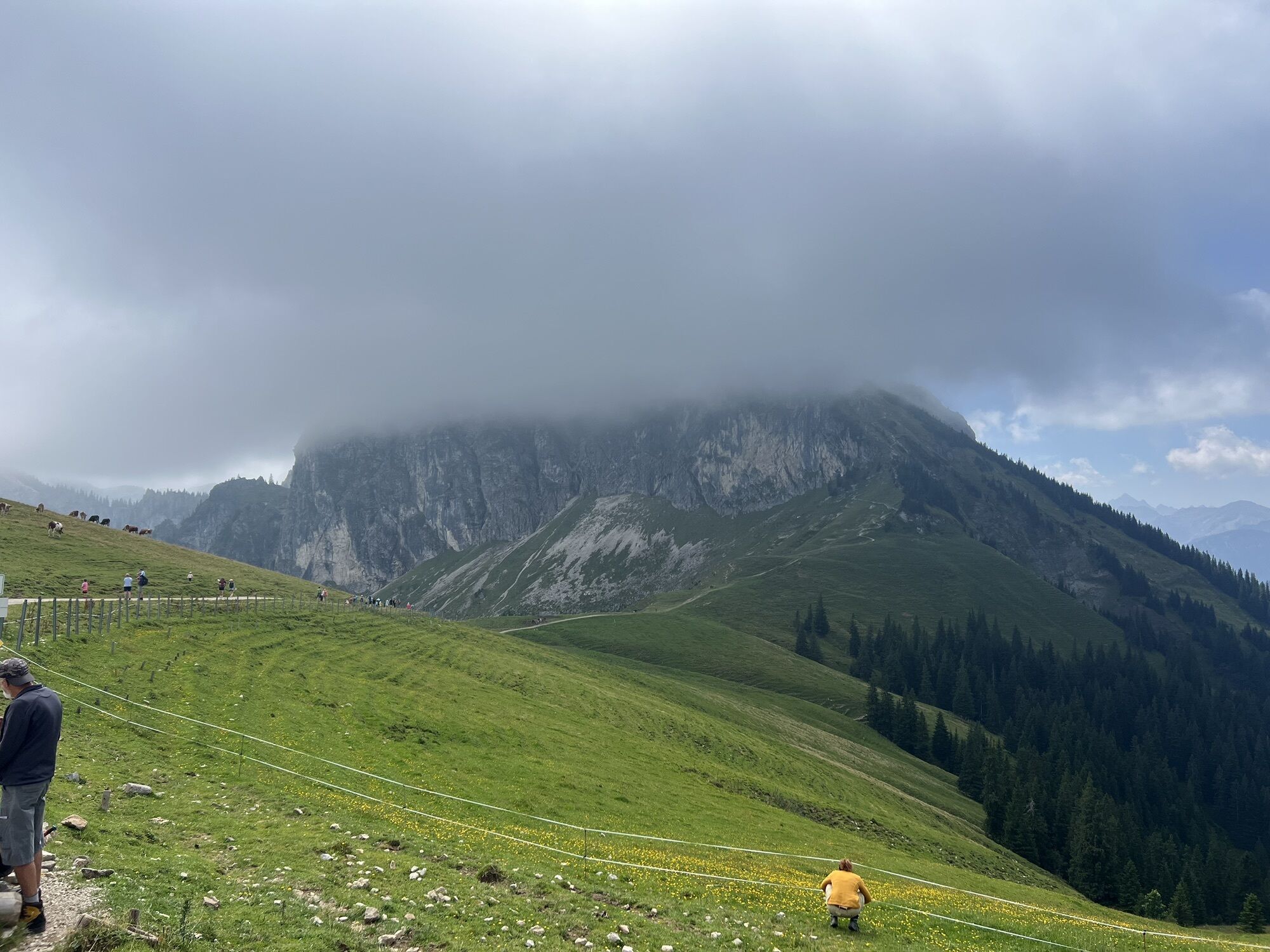
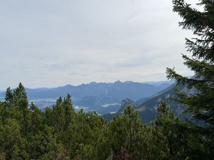 © Margarita HildermannUstvarjeno na 07.09.2025
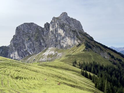 © Margarita HildermannUstvarjeno na 07.09.2025
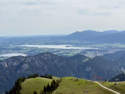 © Margarita HildermannUstvarjeno na 07.09.2025
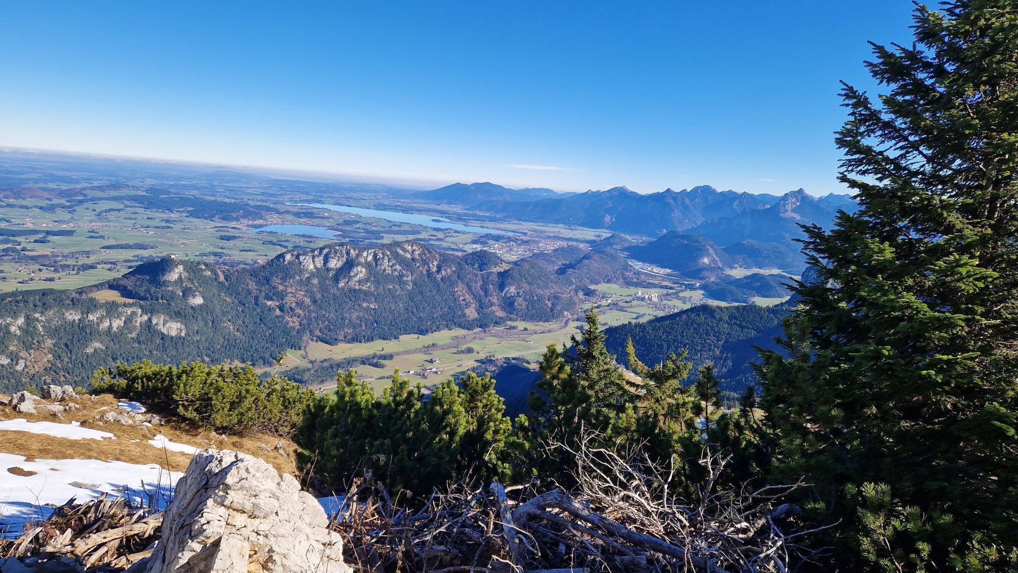
 © Anna AndrzejewskaUstvarjeno na 18.08.2025
 © Anna AndrzejewskaUstvarjeno na 18.08.2025
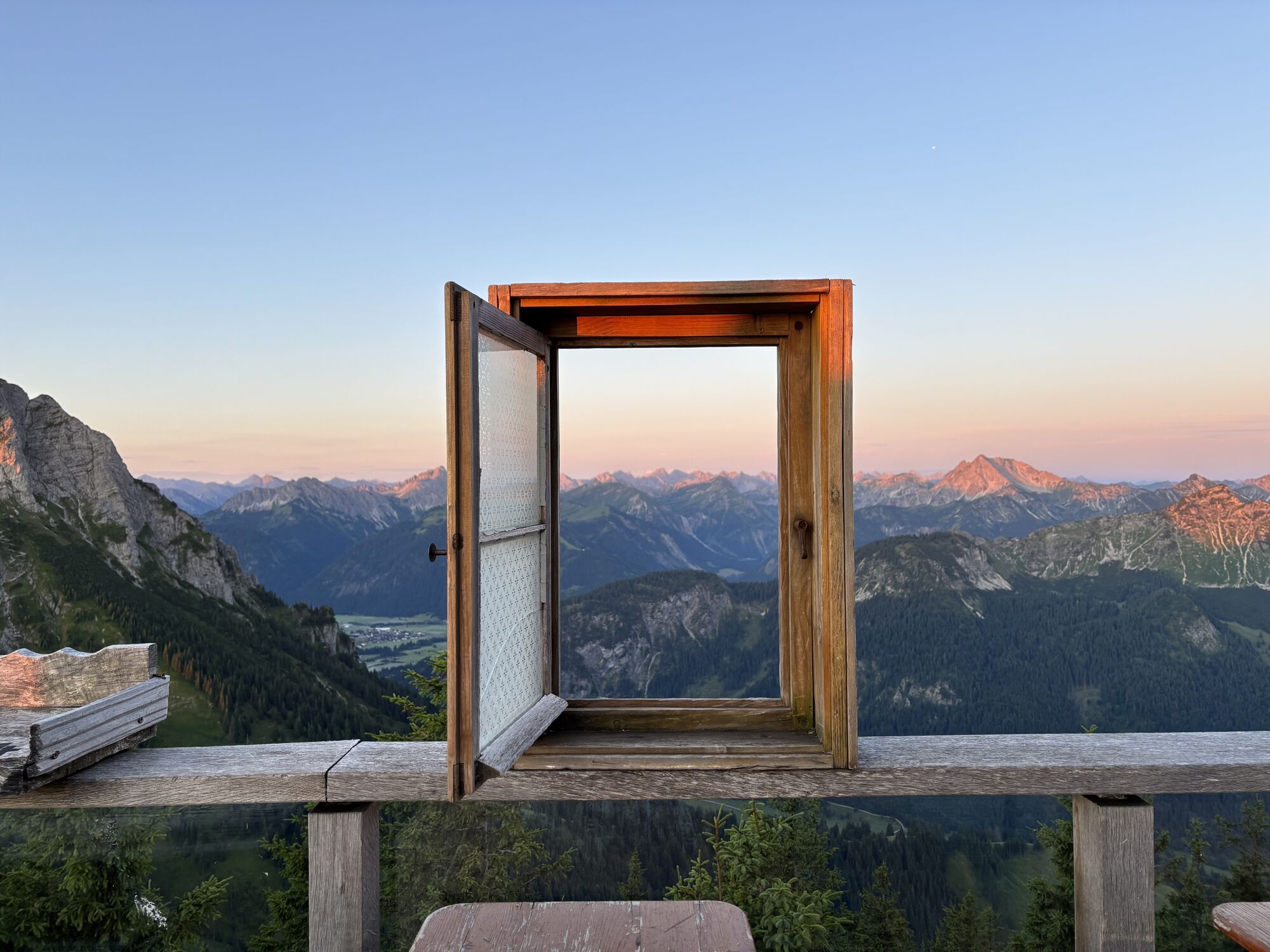
 © Thomas EderleUstvarjeno na 15.08.2025
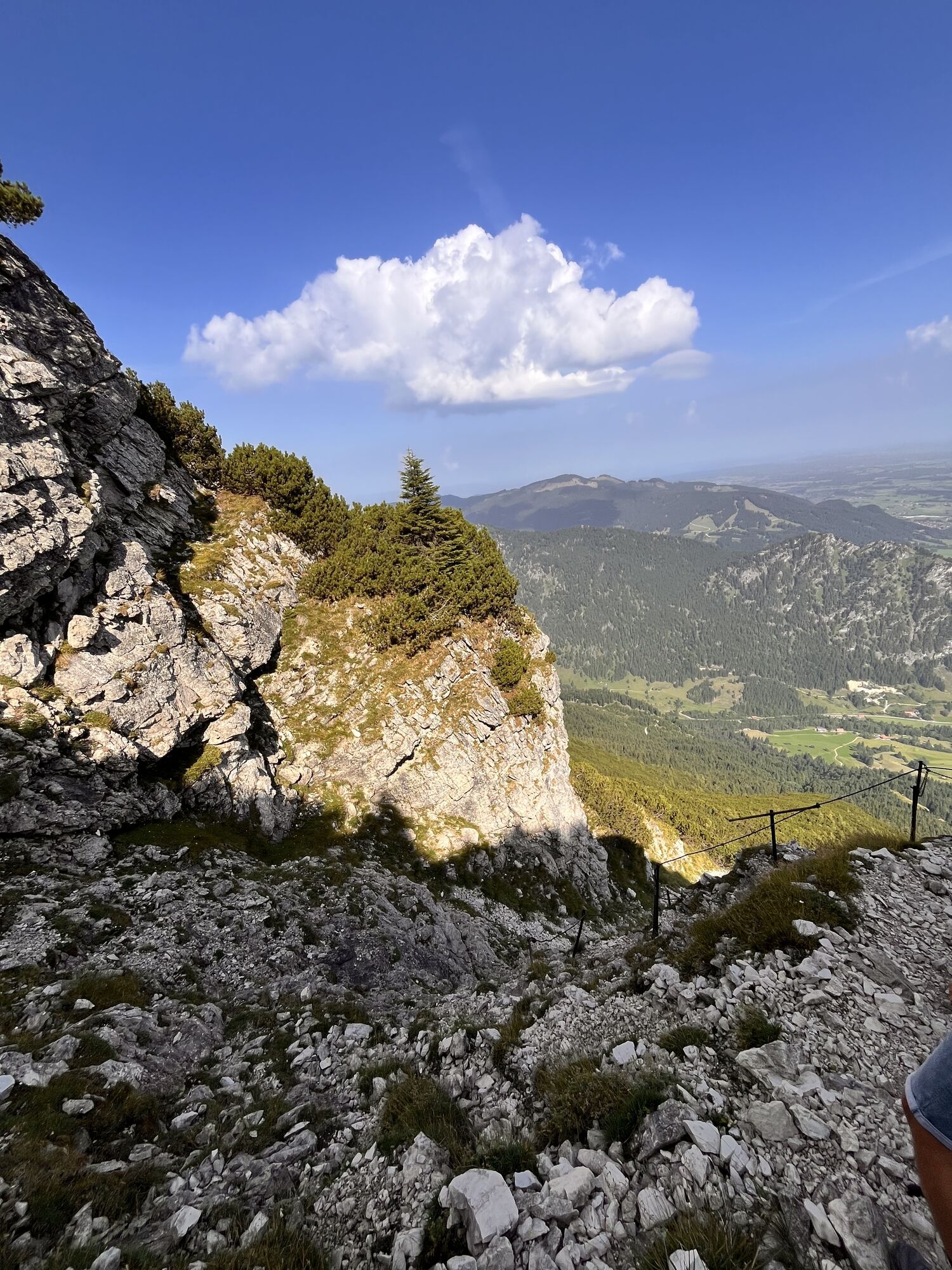
 © Thomas EderleUstvarjeno na 15.08.2025
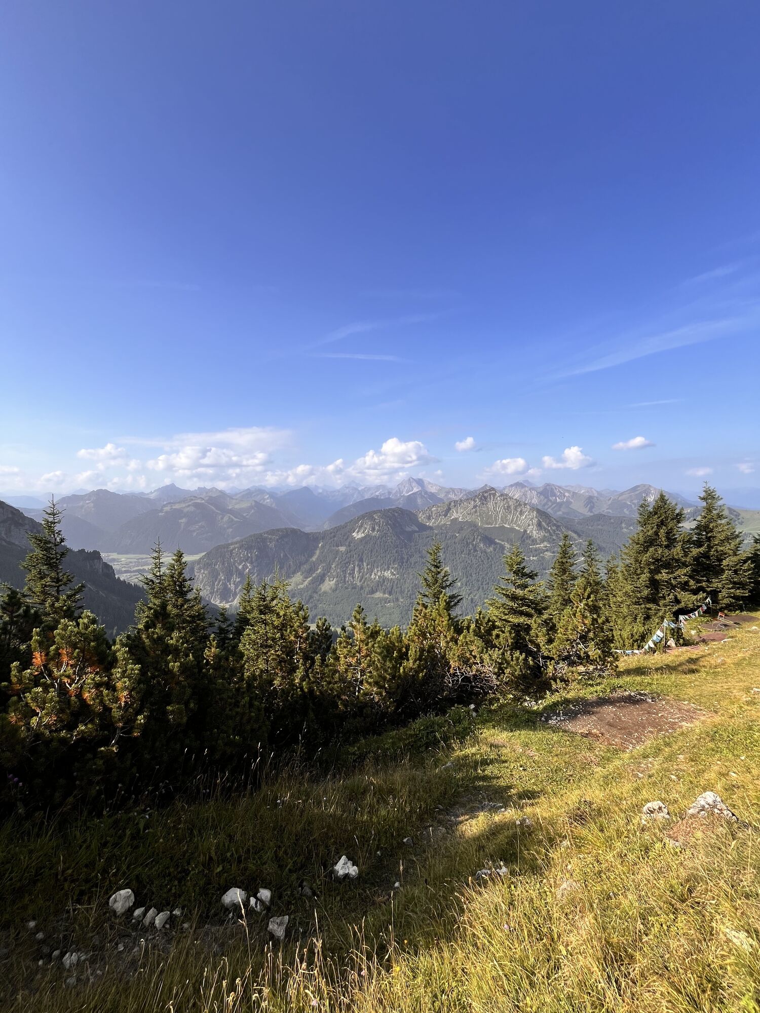
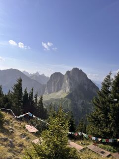 © Thomas EderleUstvarjeno na 15.08.2025
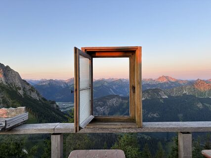 © Michael Schmitz 7Ustvarjeno na 19.07.2025
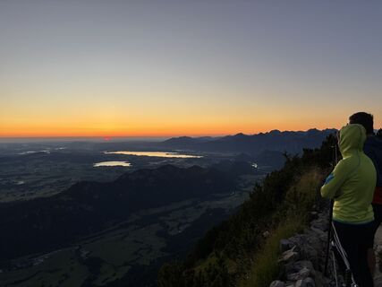 © Michael Schmitz 7Ustvarjeno na 19.07.2025
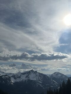
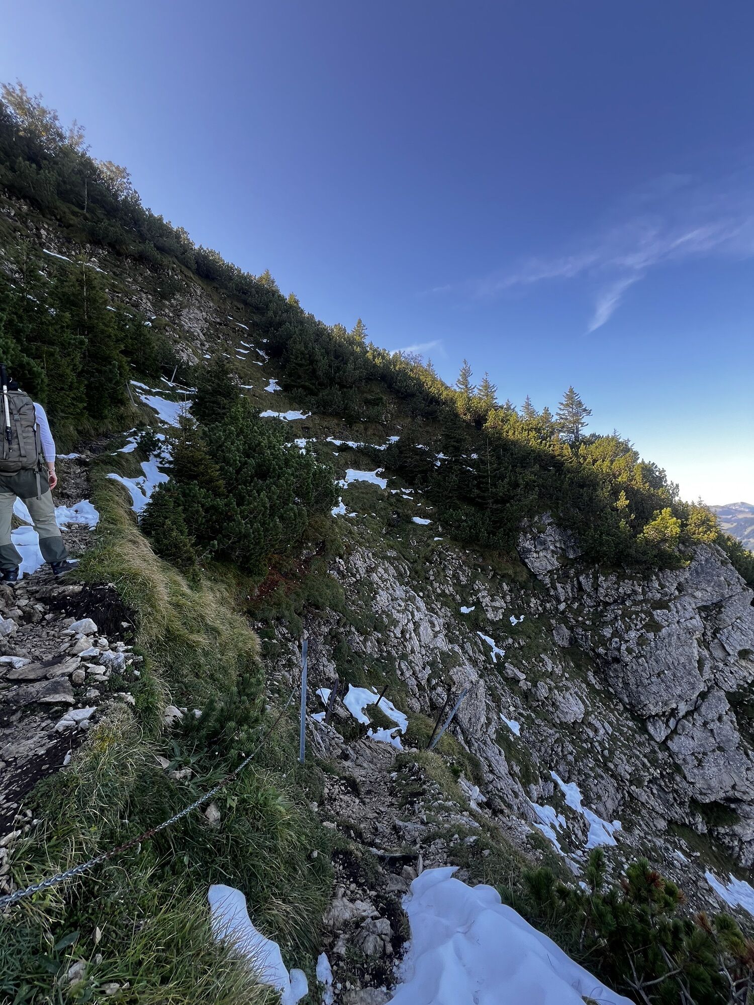
 © xLeon-Alpin⛏️Ustvarjeno na 05.04.2025
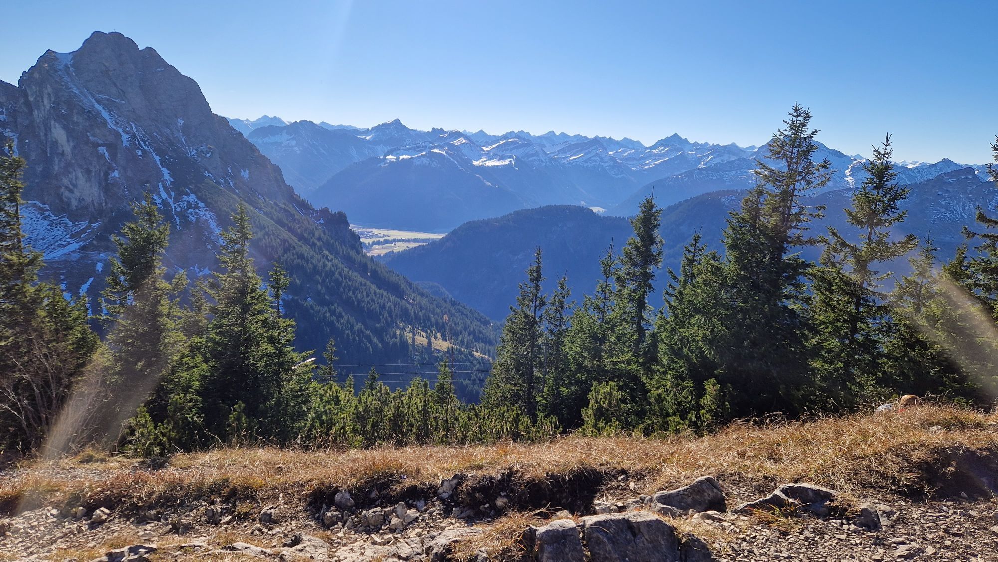
 © Leon PrinzUstvarjeno na 20.09.2024
 © Leon PrinzUstvarjeno na 20.09.2024
 © Leon PrinzUstvarjeno na 20.09.2024
 © Leon PrinzUstvarjeno na 20.09.2024
 © KatharinaUstvarjeno na 13.06.2024
 © KatharinaUstvarjeno na 13.06.2024
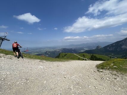
 © lotharkoernerUstvarjeno na 20.06.2022


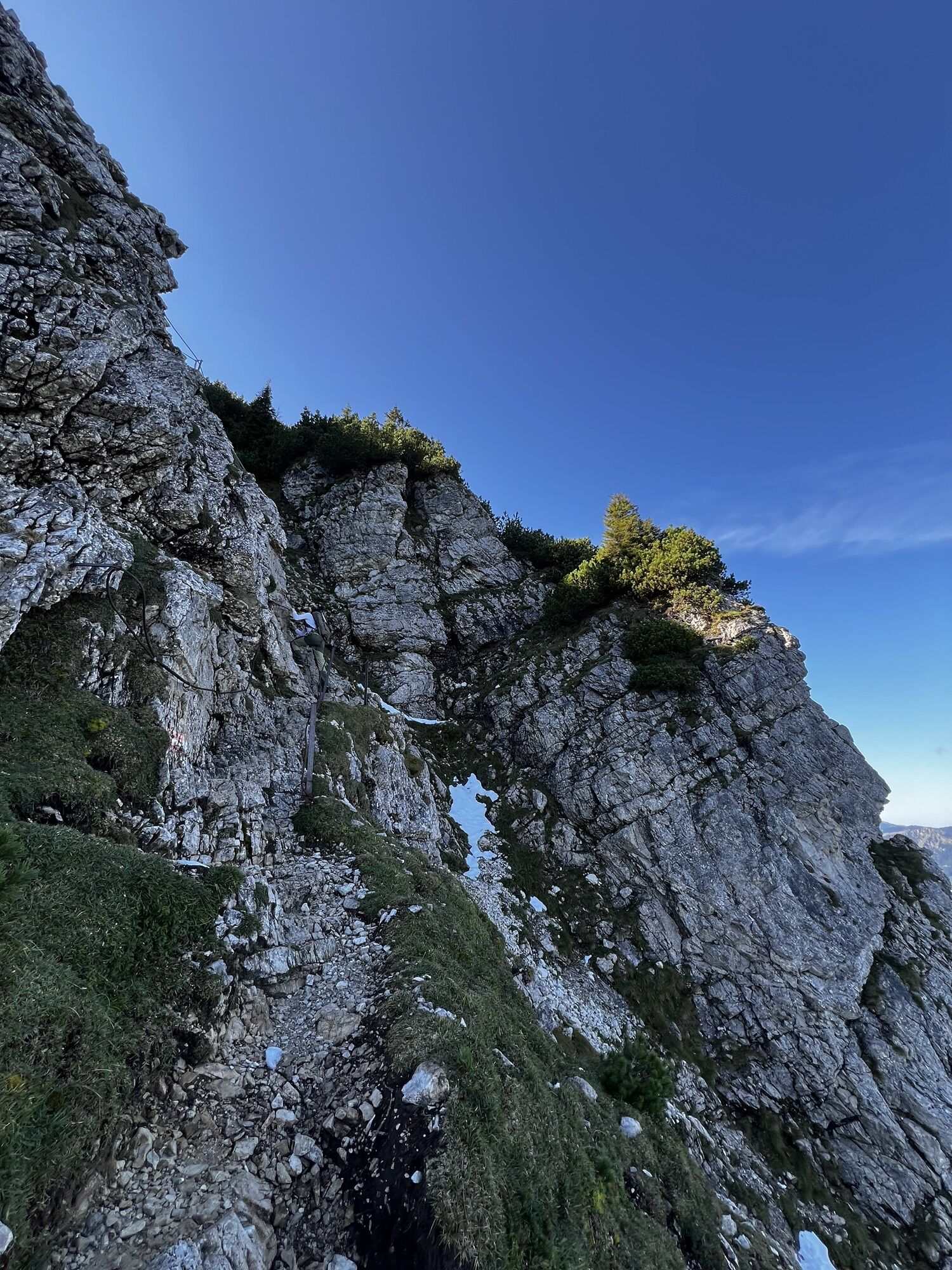

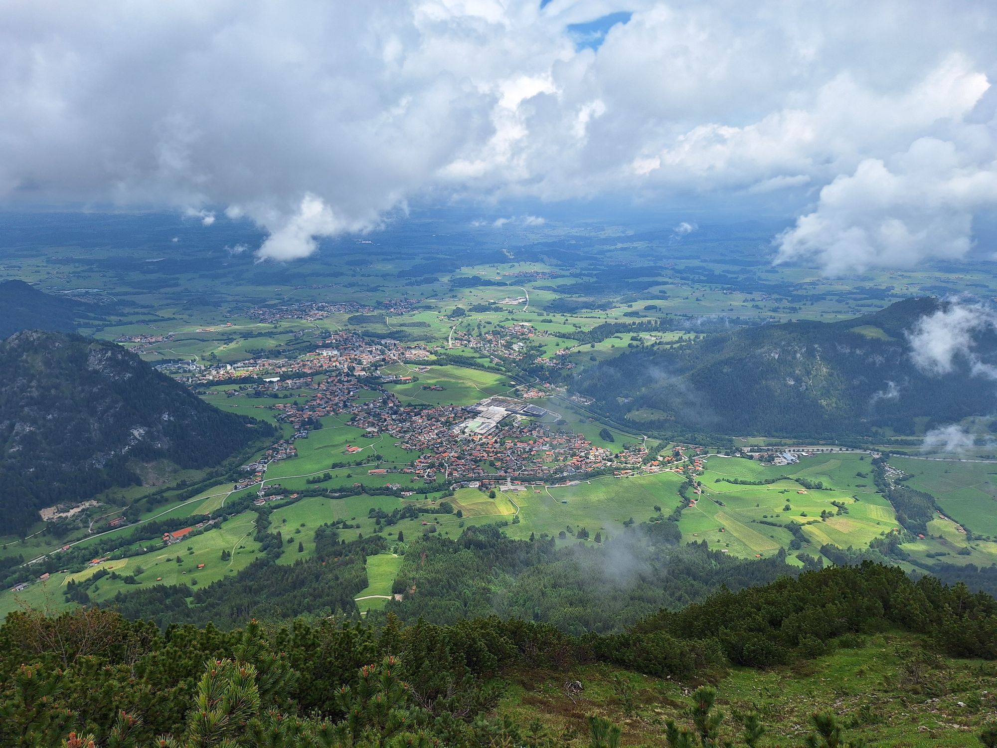
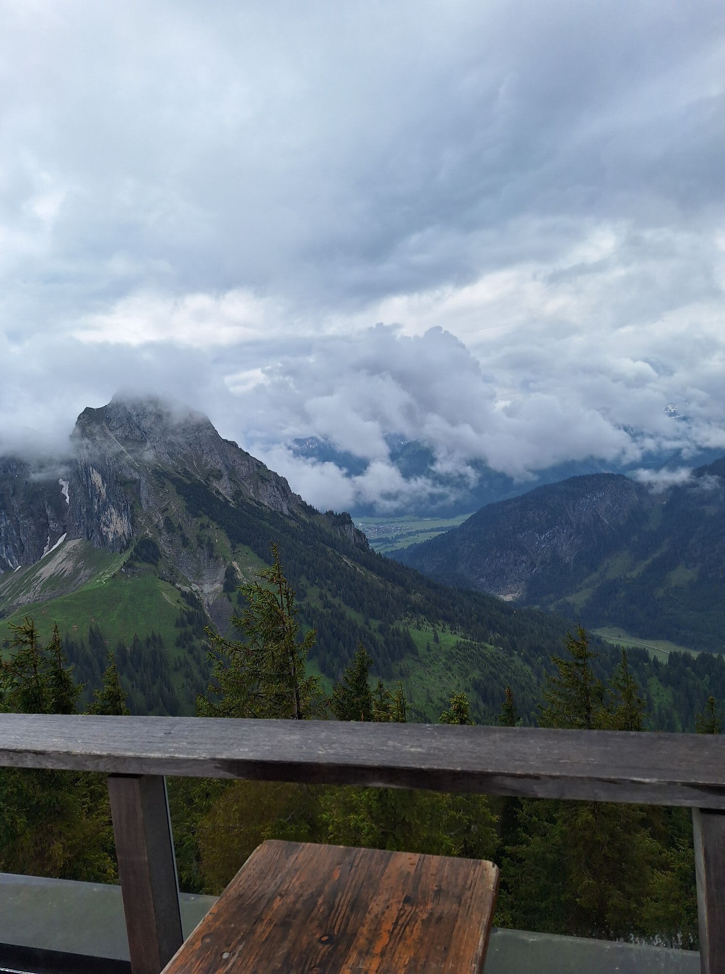

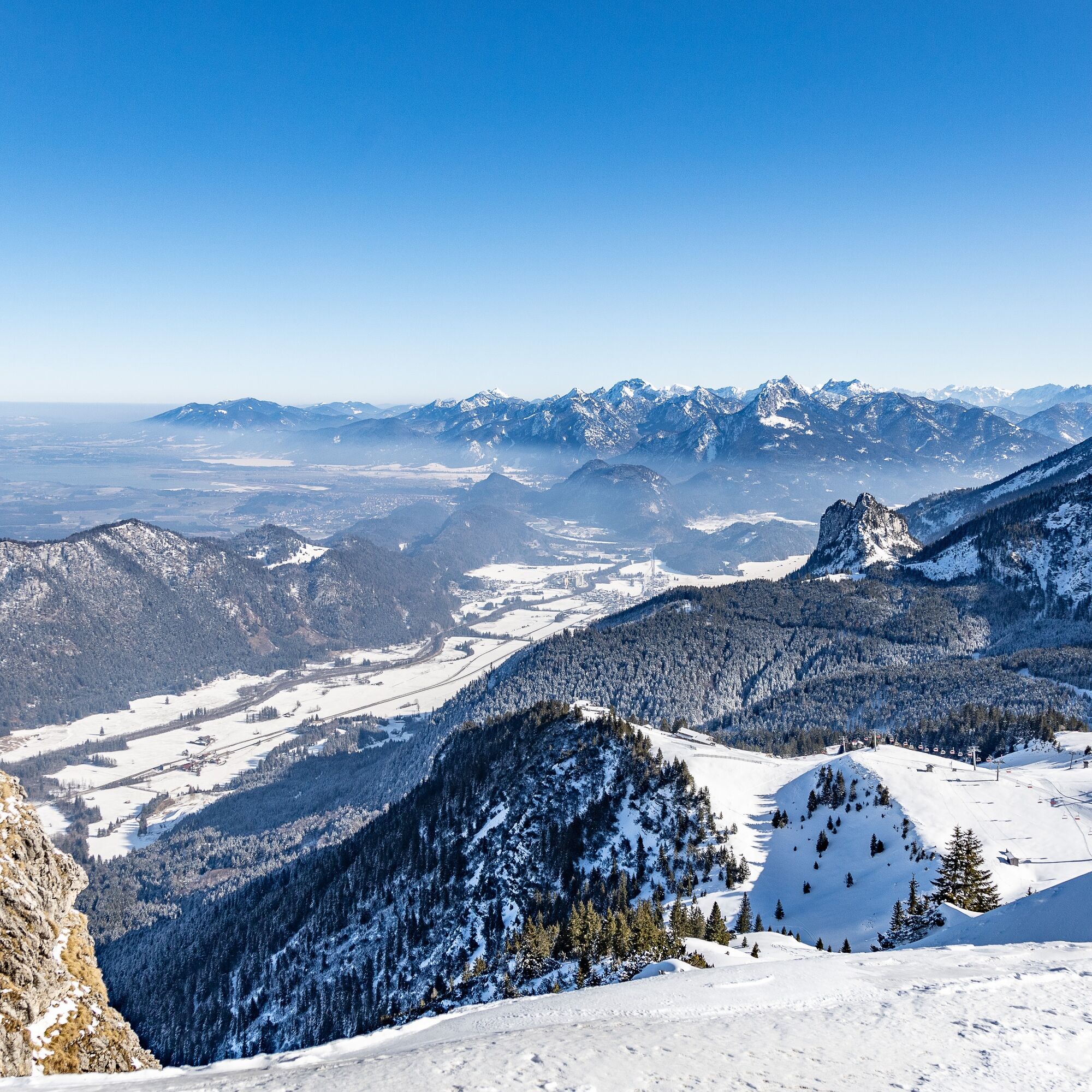
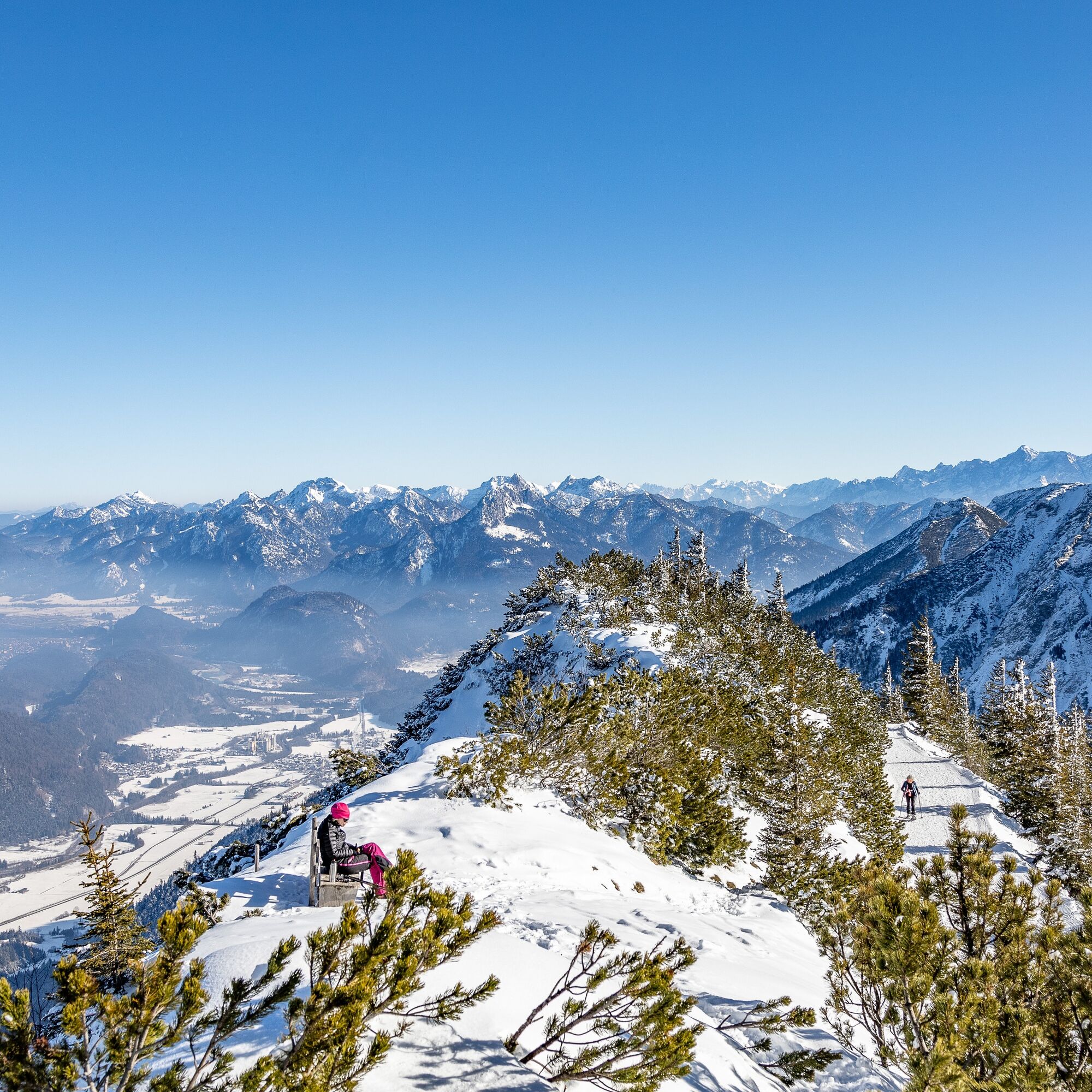
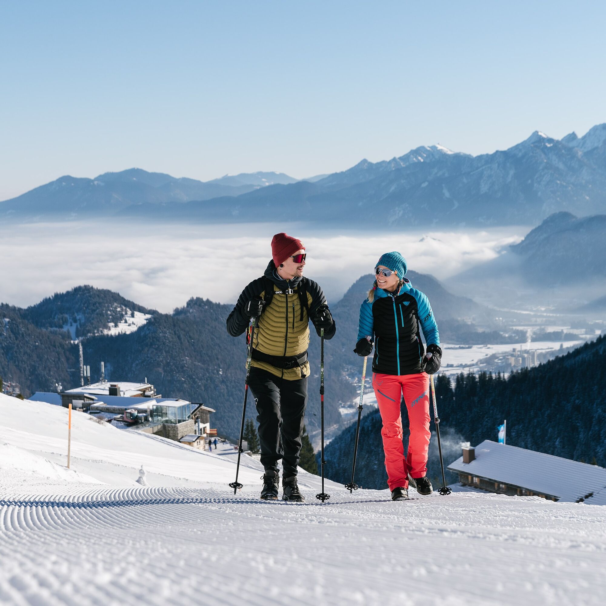
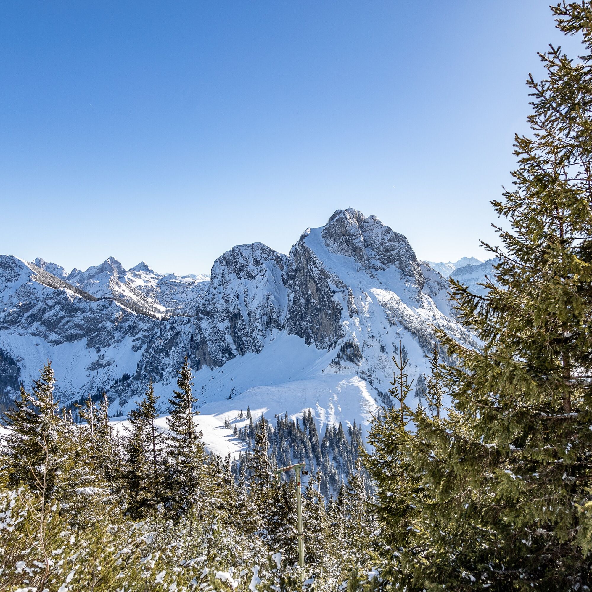
From the starting point, the exit of the Hochalpbahn at Breitenberg, you follow a prepared winter hiking trail to the Ostlerhütte. On the way, you will be rewarded with breathtaking views of the Allgäu...
From the starting point, the exit of the Hochalpbahn at Breitenberg, you follow a prepared winter hiking trail to the Ostlerhütte. On the way, you will be rewarded with breathtaking views of the Allgäu foothills and the Allgäu and Tyrolean Alps. Once you arrive, you will be welcomed by the cozy rooms of the Ostlerhütte. After a well-deserved snack, follow the signs back to the starting point, the chairlift.

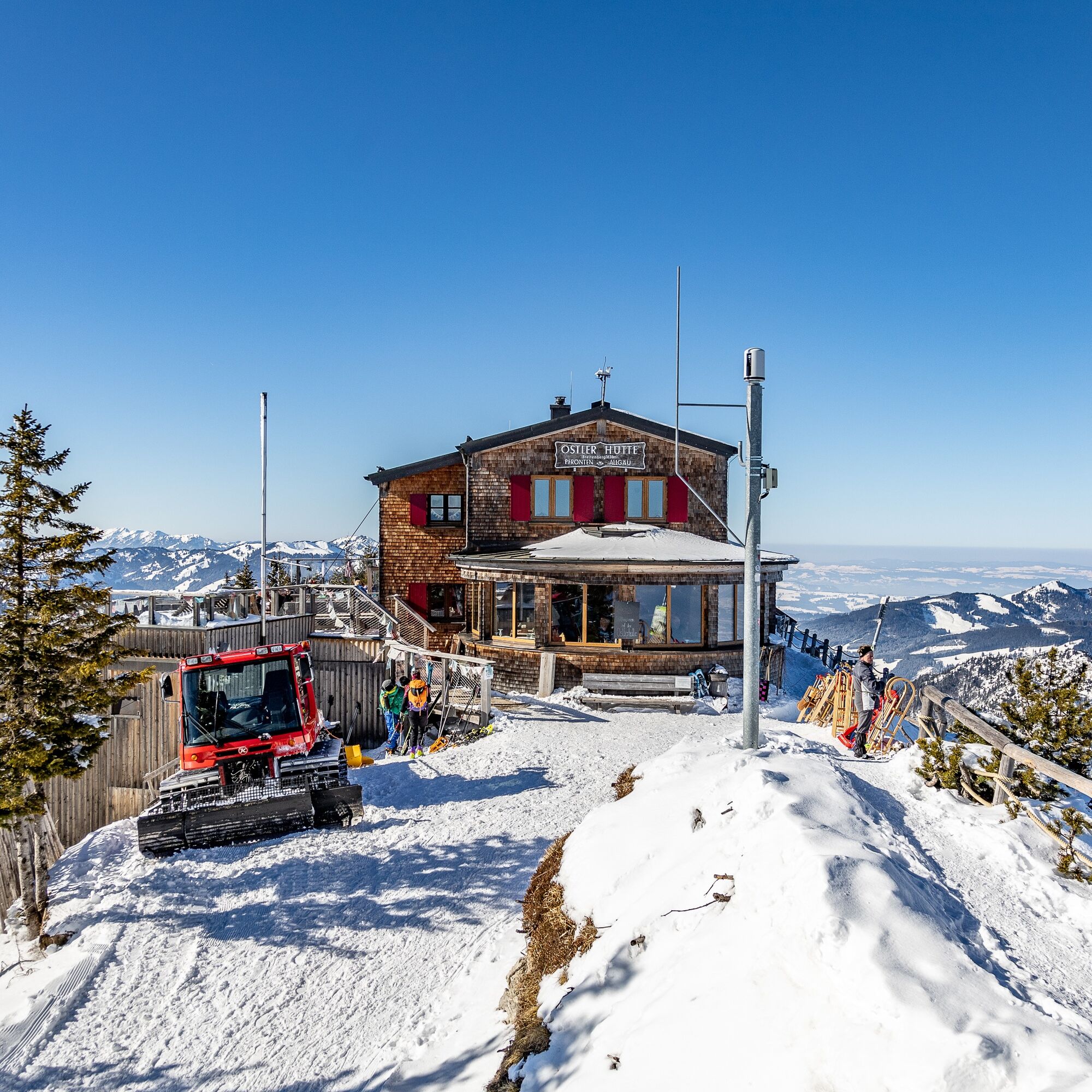
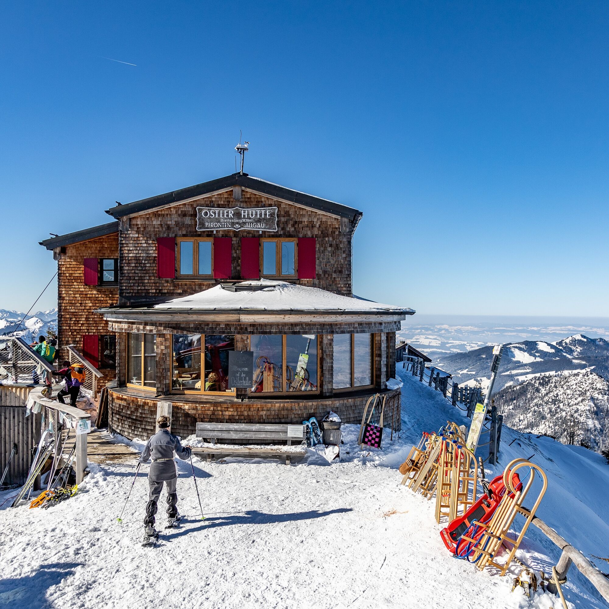
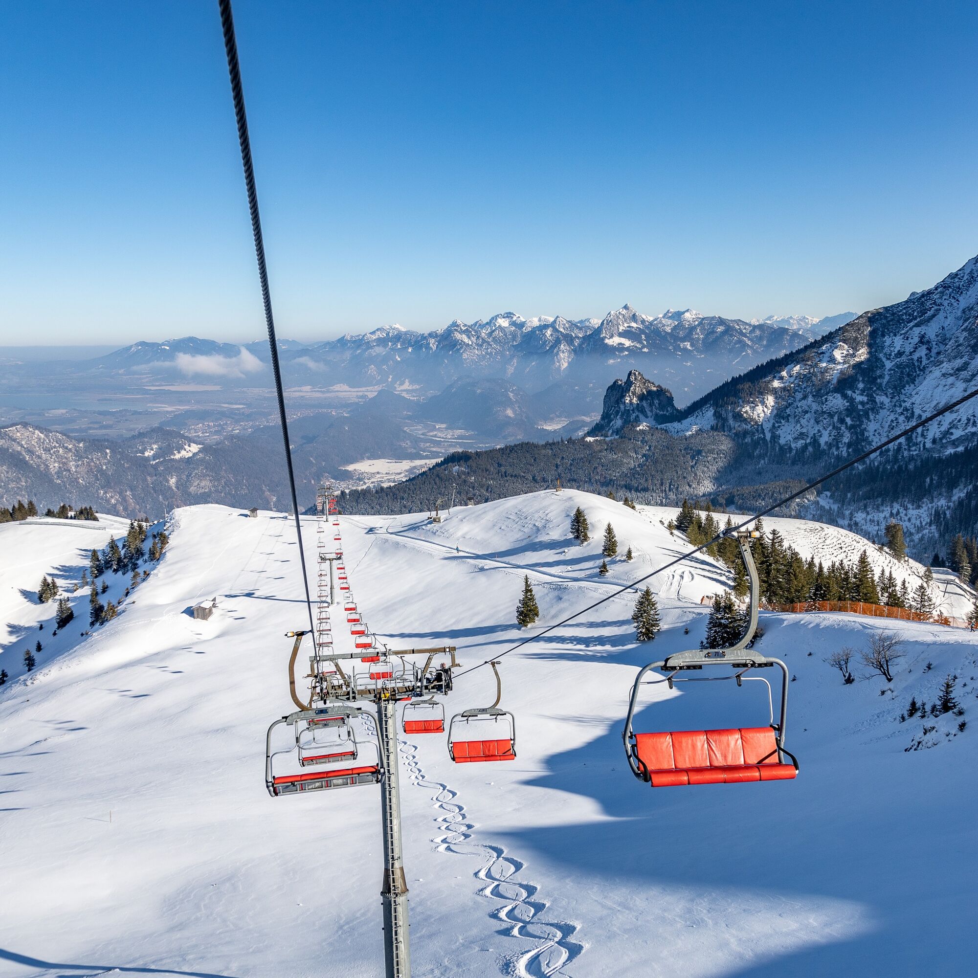
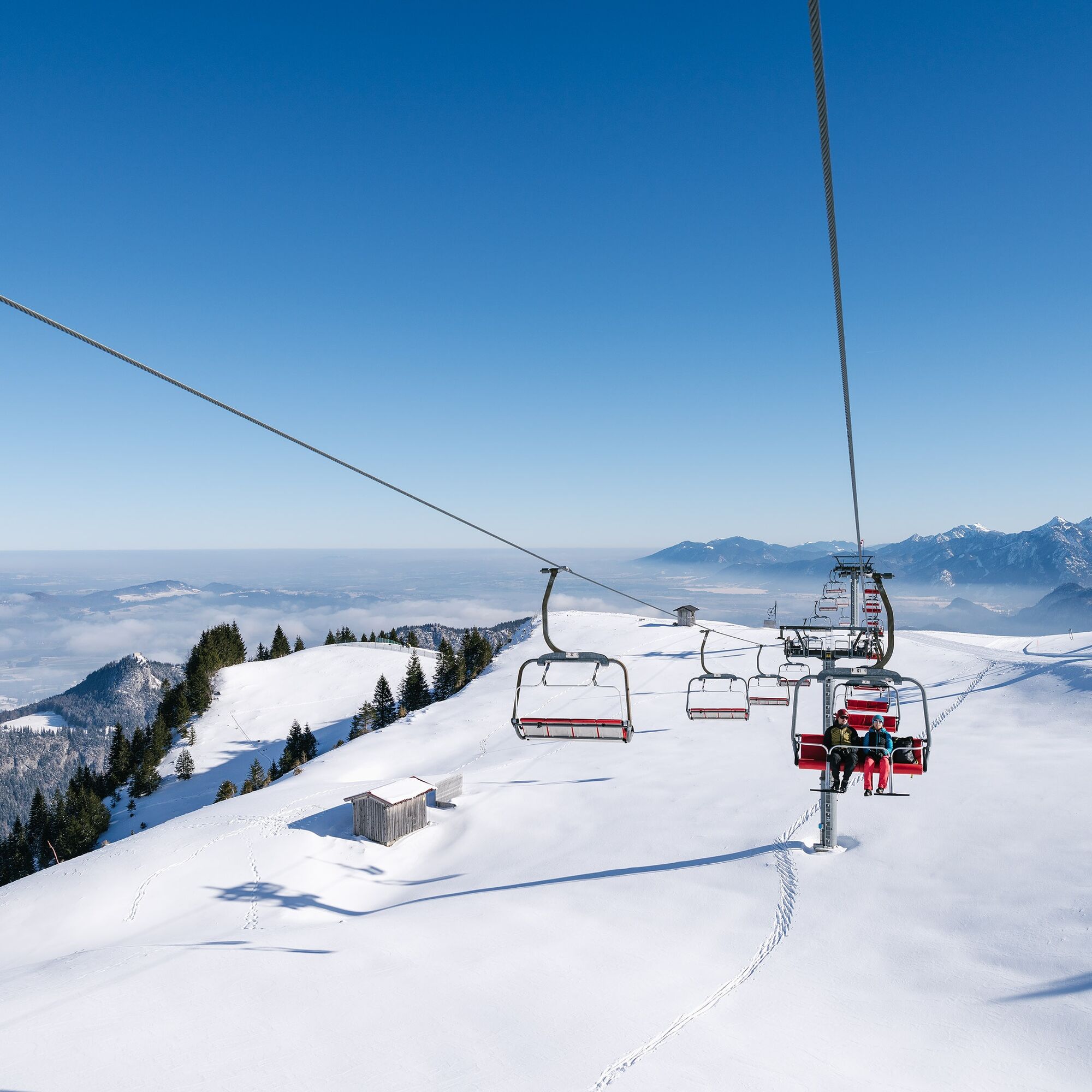
You can reach the starting point of the route either on foot or by the Hochalpbahn chairlift. From there, follow the signs towards the Ostlerhütte. Along a prepared path with a steady incline, you will reach the endpoint, the Ostlerhütte.
Da
Weatherproof clothing, waterproof shoes with sufficient tread, a backpack with provisions, and sun protection in appropriate weather are recommended.
Please stay on the prepared hiking trails.
By car, you can reach the Breitenbergbahn in Pfronten-Steinach via Tiroler Straße (B309).
You can reach the Pfronten-Steinach train station by train or bus. It is located directly opposite the Breitenbergbahn. From there, you can continue on foot or by cable car to the mountain.
Parking spaces are available at the Breitenbergbahn.
2
For a quick descent, it is worth bringing a sled. From the Hochalpbahn chairlift, a 6 km long sled run begins.
Spletne kamere s turneje
Skizentrum Steinach / Pfronten
Kesselmoos und Hochalpbahn
Pfronten-Halden / Hotel Zugspitzblick
Pfronten-Kreuzegg
Burghotel Falkenstein im Allgäu
Ostlerhütte
Grän - Hotel Bergblick
Füssener Jöchle Bergstation
Füssener Jöchle Bergstation
Füssener Jöchle Bergstation
Füssener Jöchle Bergstation
Füssener Jöchle Bergstation
Breitenbergbahn - Pfronten
Pfronten - Skizentrum
Füssener Jöchle Bergstation
Füssener Jöchle Bergstation
Priljubljeni izleti v okolici
- 4,2
Three-lake route (awarded the Tyrolean Hiking Trail Seal of Quality)
srednjaPohodništvo14,8 km - 4,2
Höllschlucht hike » Water & Forest
srednjaPohodništvo7,38 km - 4,6
3-Seen Rundtour Vilsalpsee / Schrecksee / Traualpsee
srednjaPohodništvo17,1 km - 4,8
3-Gipfel-Tour
srednjaPohodništvo11,2 km - 4,5
Mountain hike to the Aggenstein
težkoPohodništvo15,3 km - 4,0
Od Tannheima do Sulzspitze
srednjaPohodništvo15,6 km - 4,8
Around Weißensee
svetlobaPohodništvo6,12 km - 5,0
Hiking tour to Breitenberg
težkoPohodništvo15,6 km - 5,0
Gemeinde Grän, Tirol/Österreich Aggenstein Rundtour über Höhenweg
srednjaPohodništvo9,84 km - 4,8
Do koče Bad Kissinger Hütte po poti Gräner Höhenweg
srednjaPohodništvo13,0 km
Pohodništvo in sledenje


Ne zamudite ponudb in navdiha za naslednje počitnice
Vaš e-poštni naslov je bil dodan na poštni seznam.