


The GEOpath


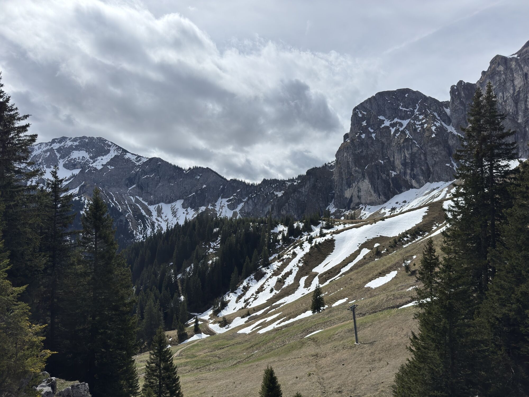
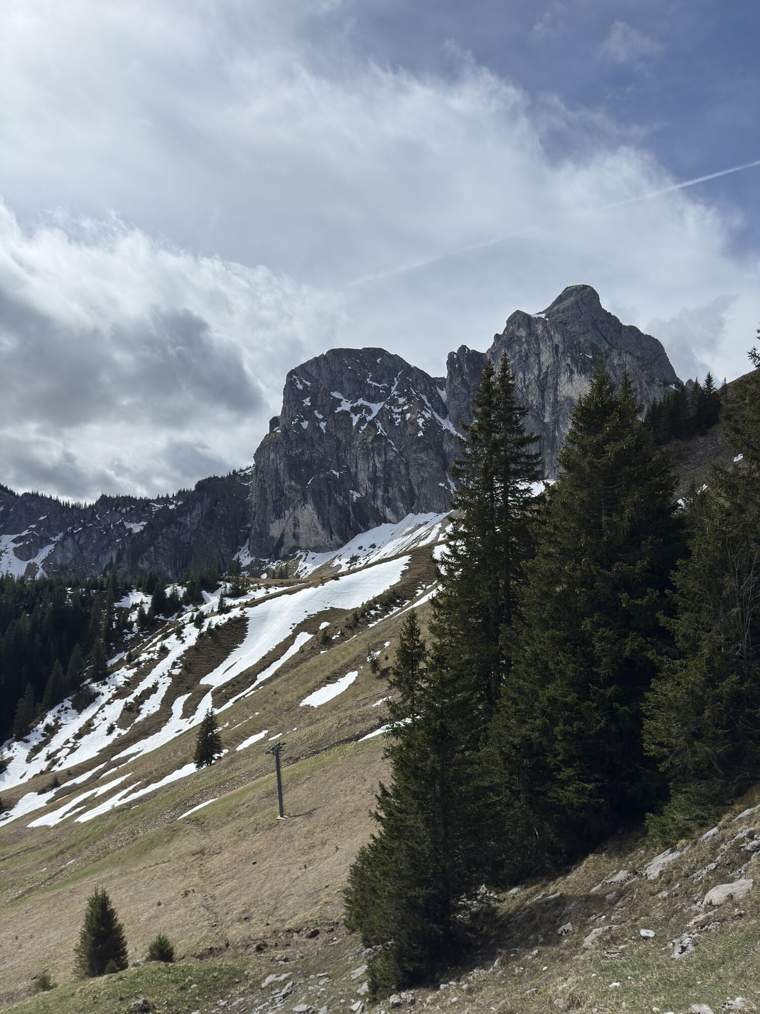
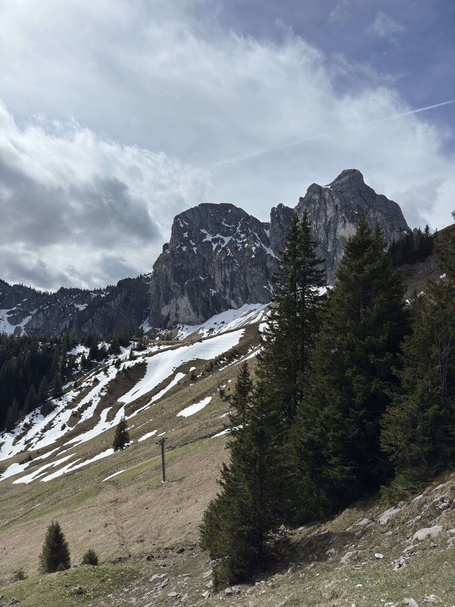
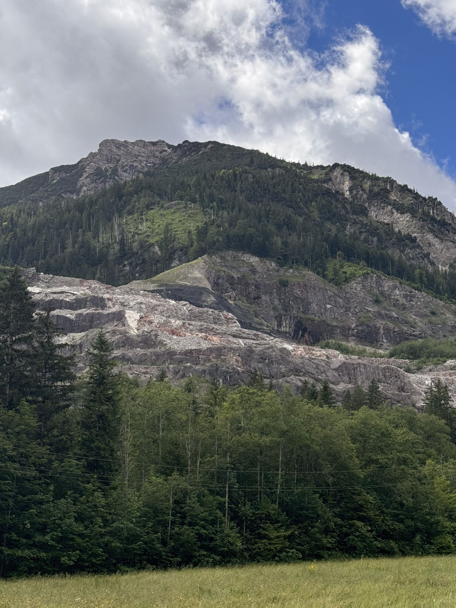
The attentive hiker is guided to understand the geological formation of the Pfronten and Vilser Mountains directly within the landscape itself. These mountains consist of various types of rock, which have...
The attentive hiker is guided to understand the geological formation of the Pfronten and Vilser Mountains directly within the landscape itself. These mountains consist of various types of rock, which have acquired their distinctive appearance through weathering and erosion.
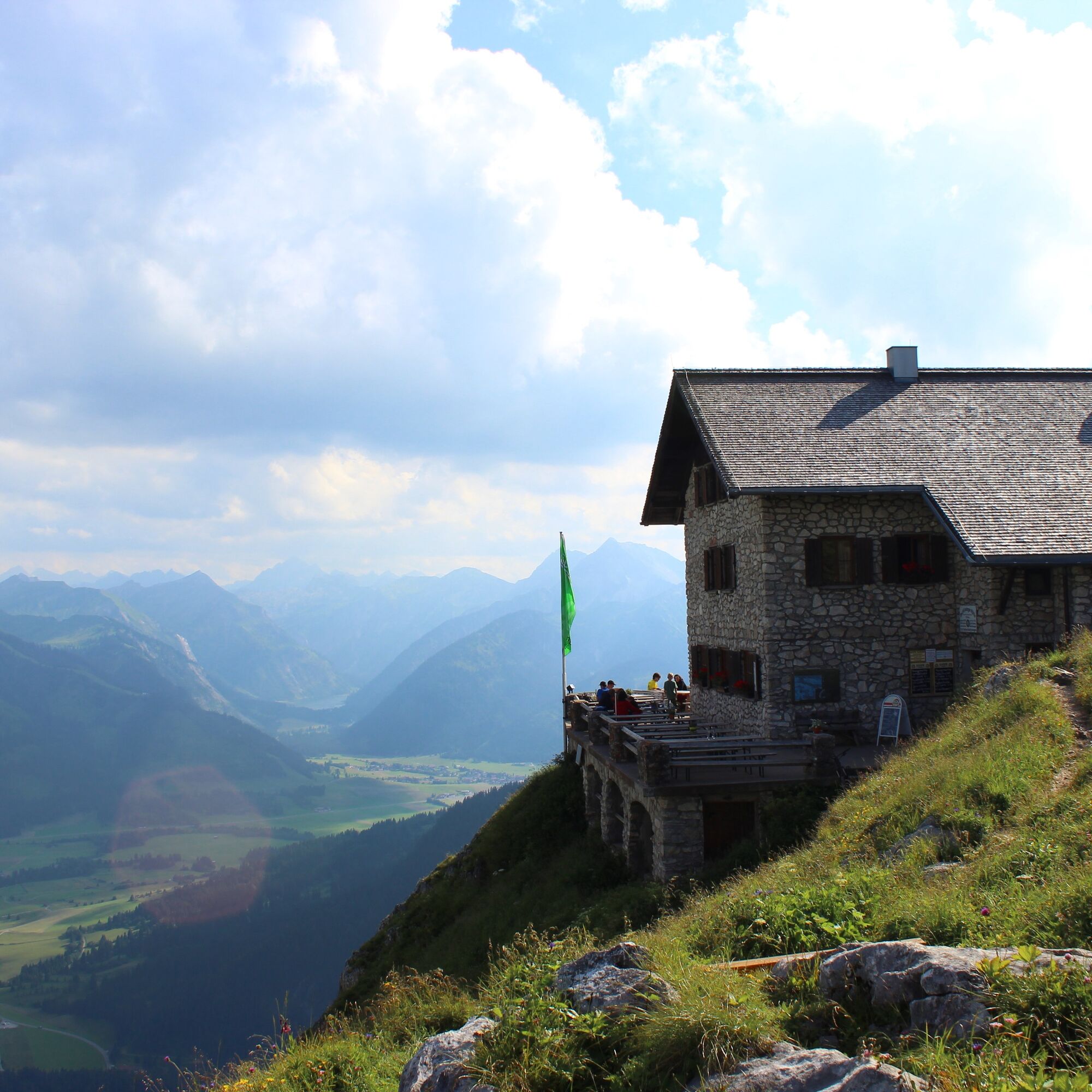
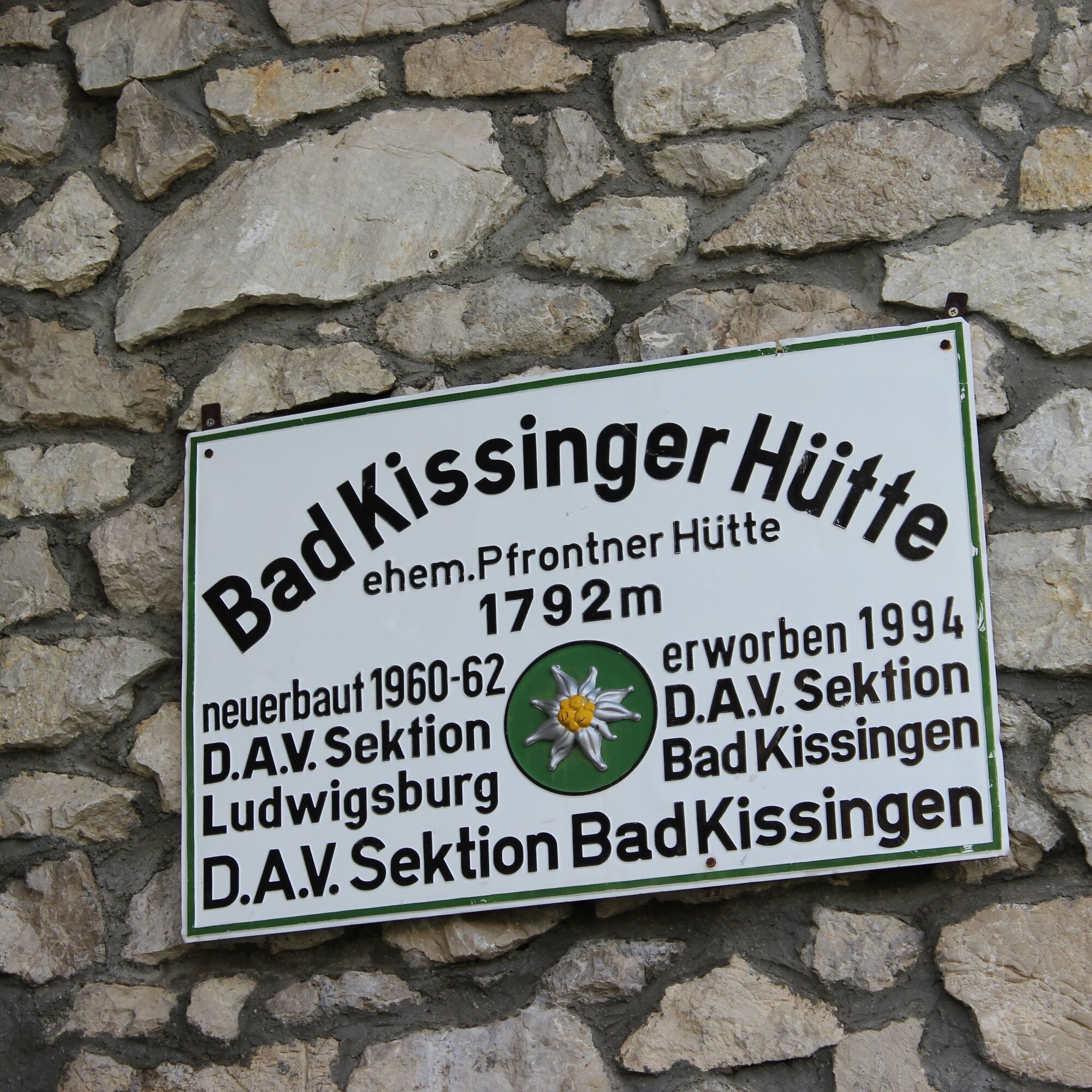
The GEOpfad Pfronten - Vils takes you through high-alpine terrain in the nature reserve "Aggenstein." For this reason, the decision was made not to install information boards. Instead, posts marked with the GEOpfad logo in the terrain indicate the respective stations. The GEOpfad starts at the summit station of the Breitenbergbahn and leads over the Aggenstein to the Bad Kissinger Hütte, Vilser Alm, and Vils, then back to the valley station of the Breitenbergbahn.

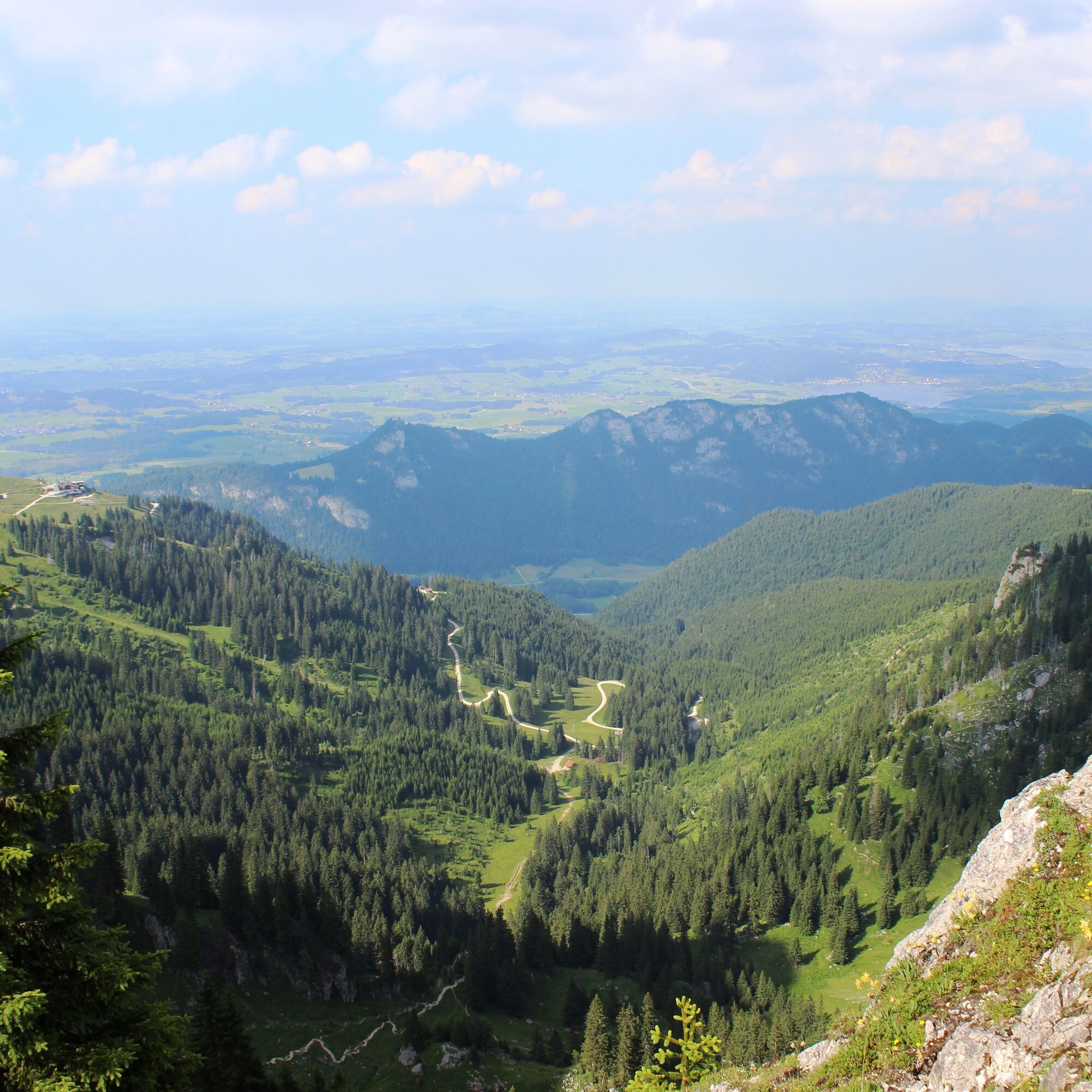

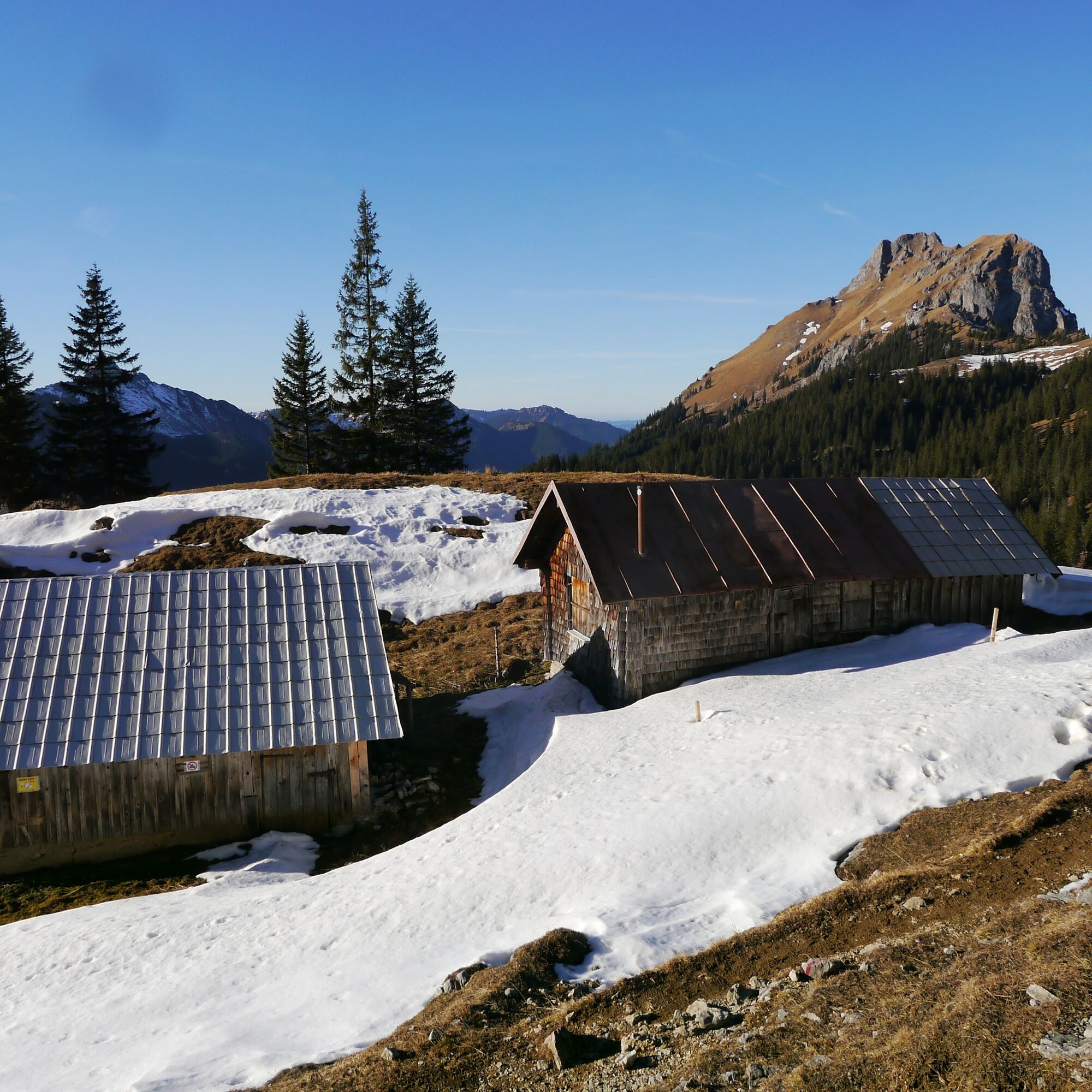
You will experience the first 7 stations along a hike along the chairlift route. Please note, from station "Geologie Aktuell 8" onward, the GEOpfad leads through high-alpine terrain.
Da
Da
B 309
Pfronten railroad line, BUS public transport
Parking lot at the Breitenbergbahn valley station
In the building of the valley station of the Breitenbergbahn, there is also a permanent exhibition about the GEOpfad.
Spletne kamere s turneje
Haldensee - Neunerköpfle
Skizentrum Steinach / Pfronten
Breitenberg Bergstation
Kesselmoos und Hochalpbahn
Pfronten-Halden / Hotel Zugspitzblick
Pfronten-Kreuzegg
Burghotel Falkenstein im Allgäu
Grän - Almdorf Tirol
Ostlerhütte
Grän - Hotel Bergblick
Füssener Jöchle Bergstation
Füssener Jöchle Bergstation
Füssener Jöchle Bergstation
Füssener Jöchle Bergstation
Füssener Jöchle Bergstation
Füssener Jöchle Bergstation
Füssen Appartementhotel Seespitz
Breitenbergbahn - Pfronten
Pfronten - Skizentrum
Füssener Jöchle Bergstation
Füssener Jöchle Bergstation
Priljubljeni izleti v okolici
- 4,2
Three-lake route (awarded the Tyrolean Hiking Trail Seal of Quality)
srednjaPohodništvo14,8 km - 4,2
Höllschlucht hike » Water & Forest
srednjaPohodništvo7,38 km - 4,6
3-Seen Rundtour Vilsalpsee / Schrecksee / Traualpsee
srednjaPohodništvo17,1 km - 4,5
Mountain hike to the Aggenstein
težkoPohodništvo15,3 km - 4,9
3-Gipfel-Tour
srednjaPohodništvo11,2 km - 4,5
Circular hike Dreh- and Rohrkopfhütte
svetlobaPohodništvo8,76 km - 4,0
Od Tannheima do Sulzspitze
srednjaPohodništvo15,6 km - 4,8
Around Weißensee
svetlobaPohodništvo6,12 km - 5,0
Hiking tour to Breitenberg
težkoPohodništvo15,6 km - 4,8
Do koče Bad Kissinger Hütte po poti Gräner Höhenweg
srednjaPohodništvo13,0 km
Pohodništvo in sledenje


Ne zamudite ponudb in navdiha za naslednje počitnice
Vaš e-poštni naslov je bil dodan na poštni seznam.