





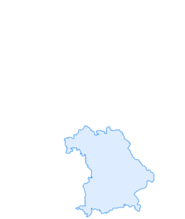

Franconian Way - from the Green Belt to the Dreistromstein
Stopnja težavnosti: T1
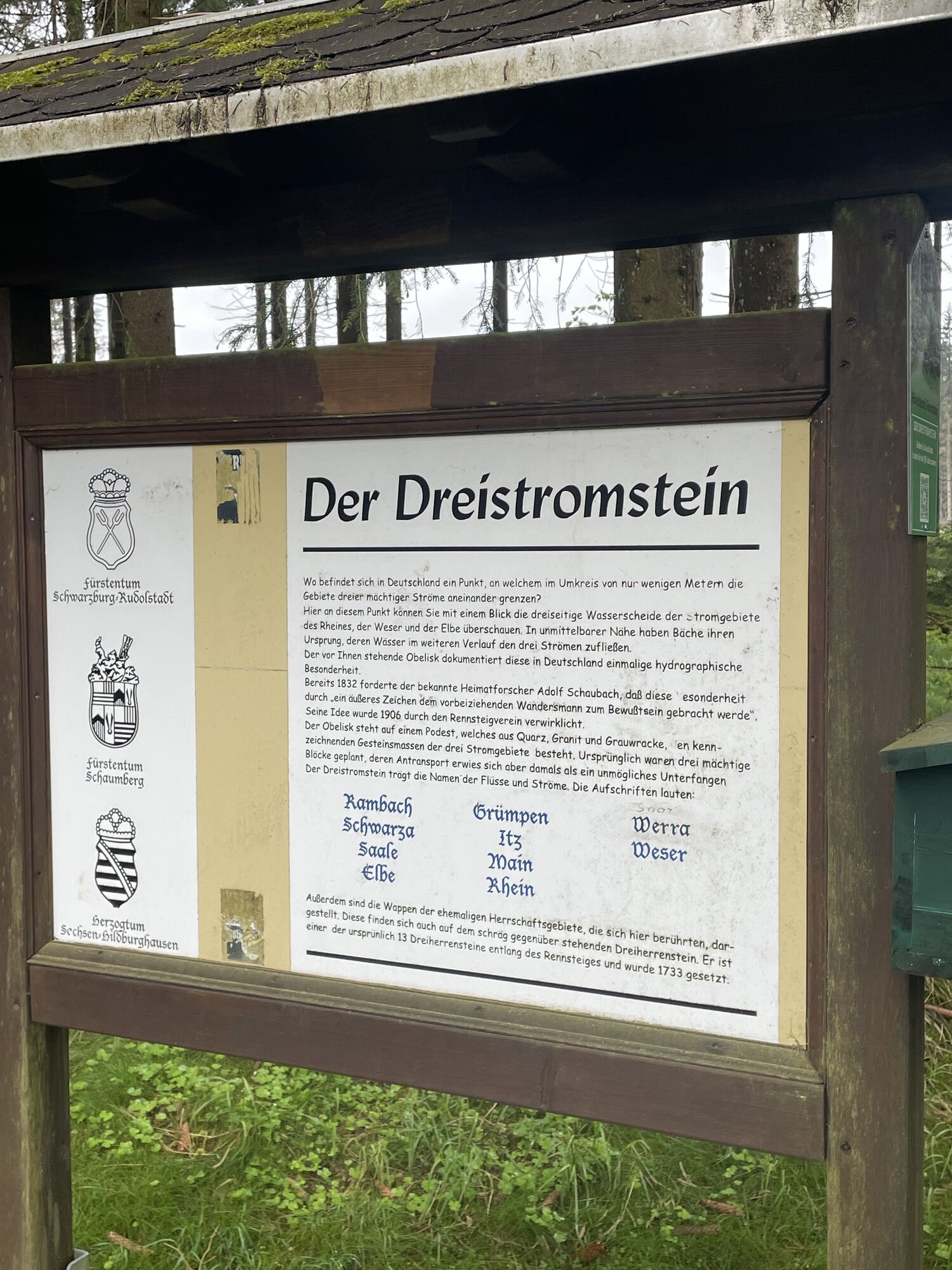
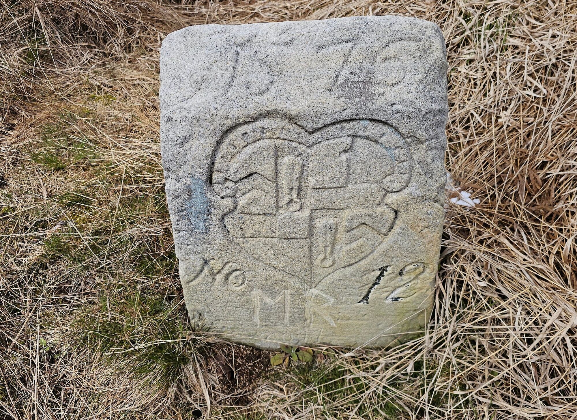
The hike follows historical paths along the Itz through Franconian Thuringia up to the Rennsteig. Here they speak Itzgründisch - a Main Franconian dialect. Numerous historic coat of arms stones line the...
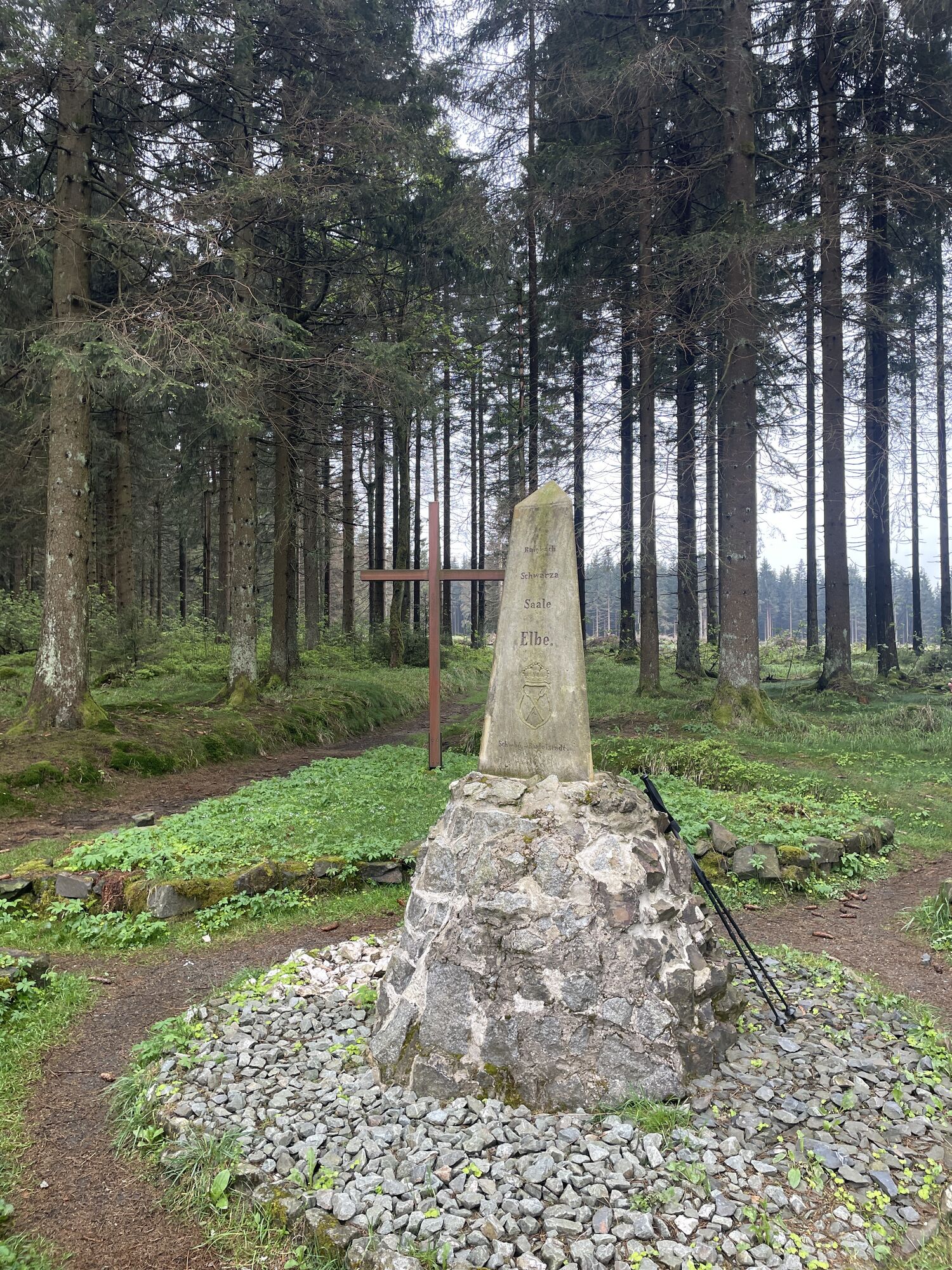
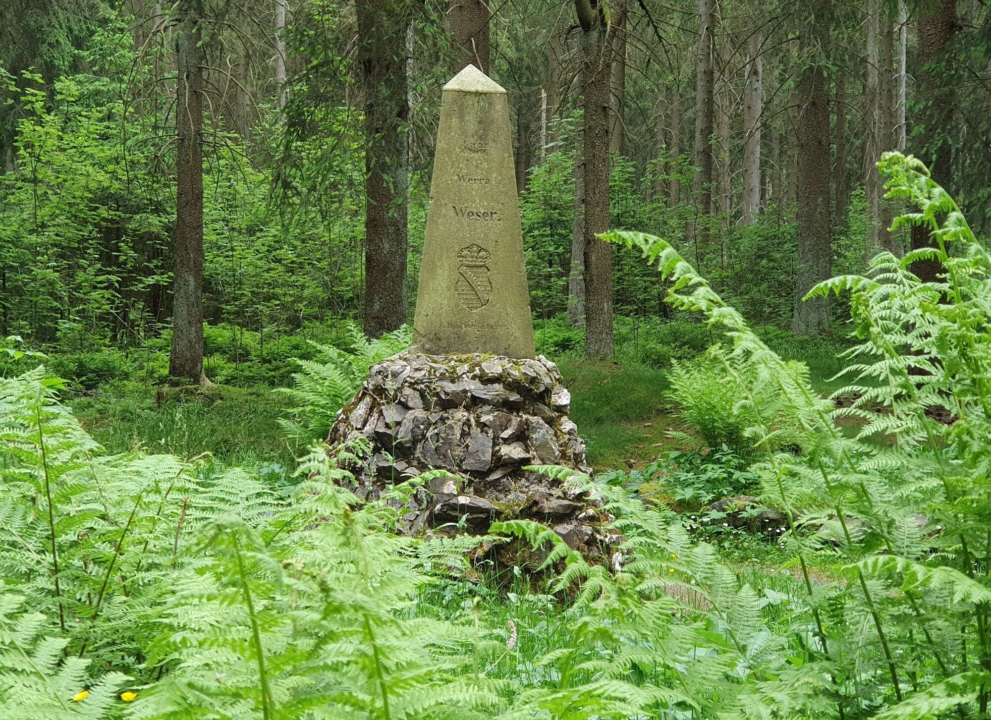
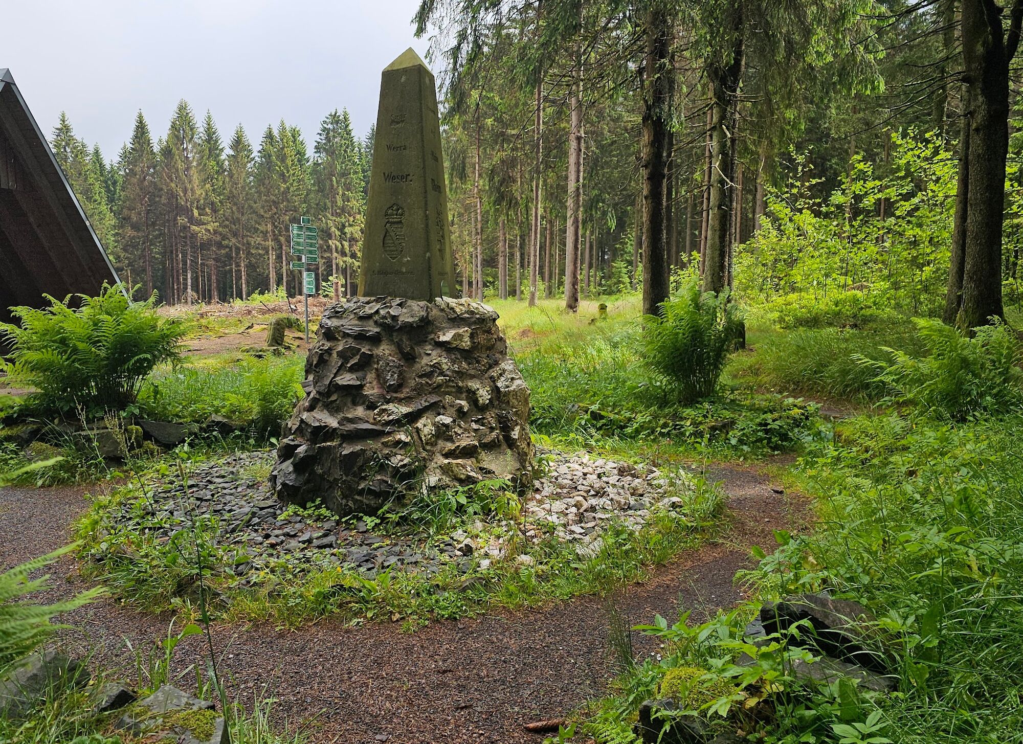
The hiking trail leads from Almerswind, a village on the state border to Bavaria, along the Itz to the small town of Schalkau, climbs through a lonely valley up to the edge of the slate mountains with its karst features, and then steeply up onto the slate mountain plateau. The Franconian Way ends at the Rennsteig. There, the Dreistromstein was erected at the beginning of the 20th century. This marks a special hydrological point: the catchment areas of the Elbe, Rhine, and Weser rivers meet here.

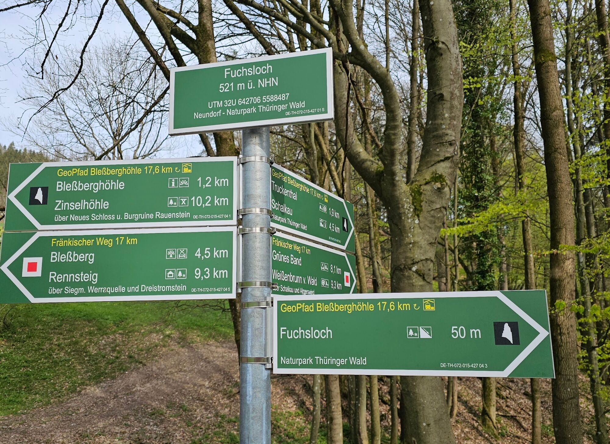

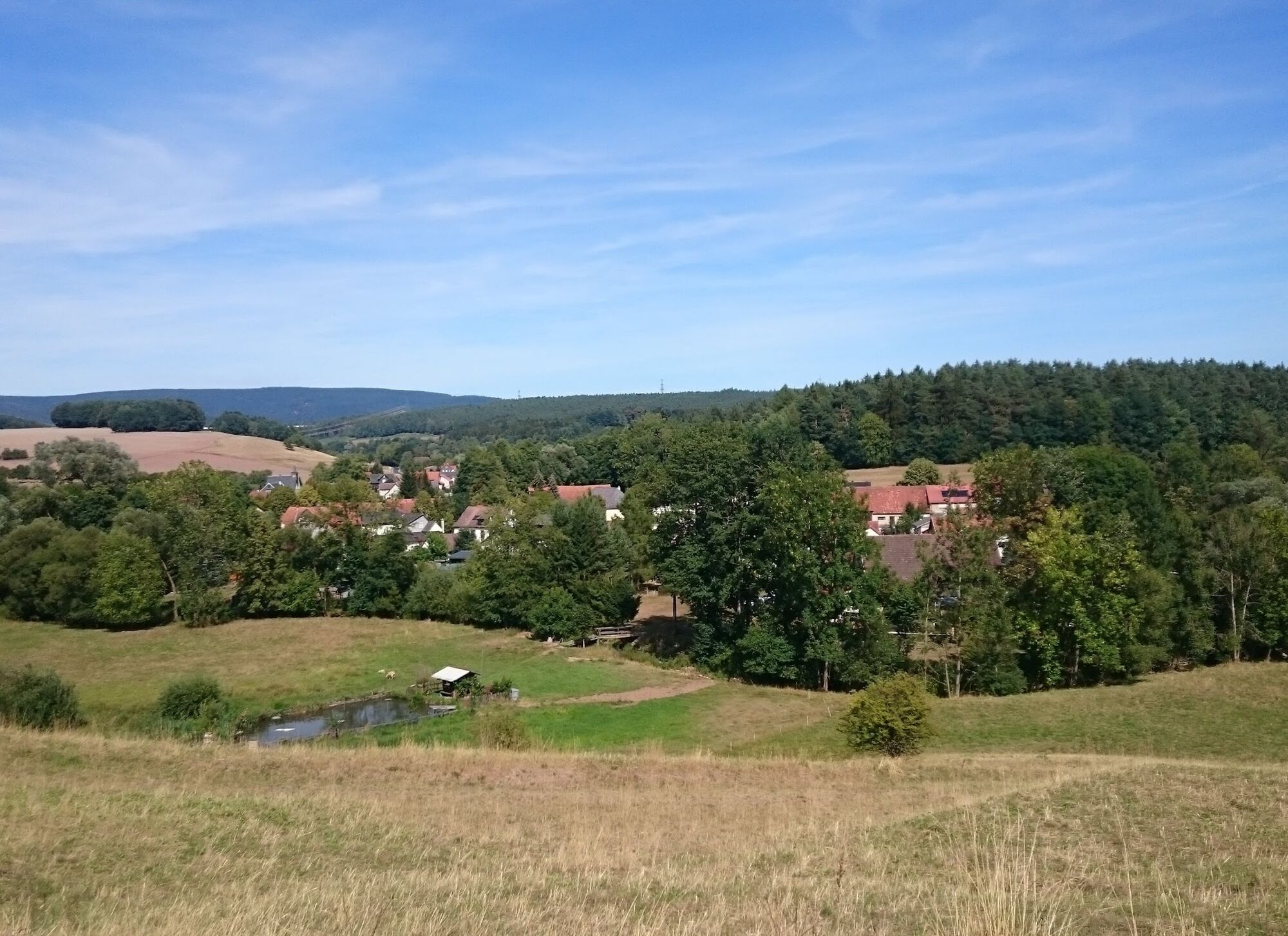
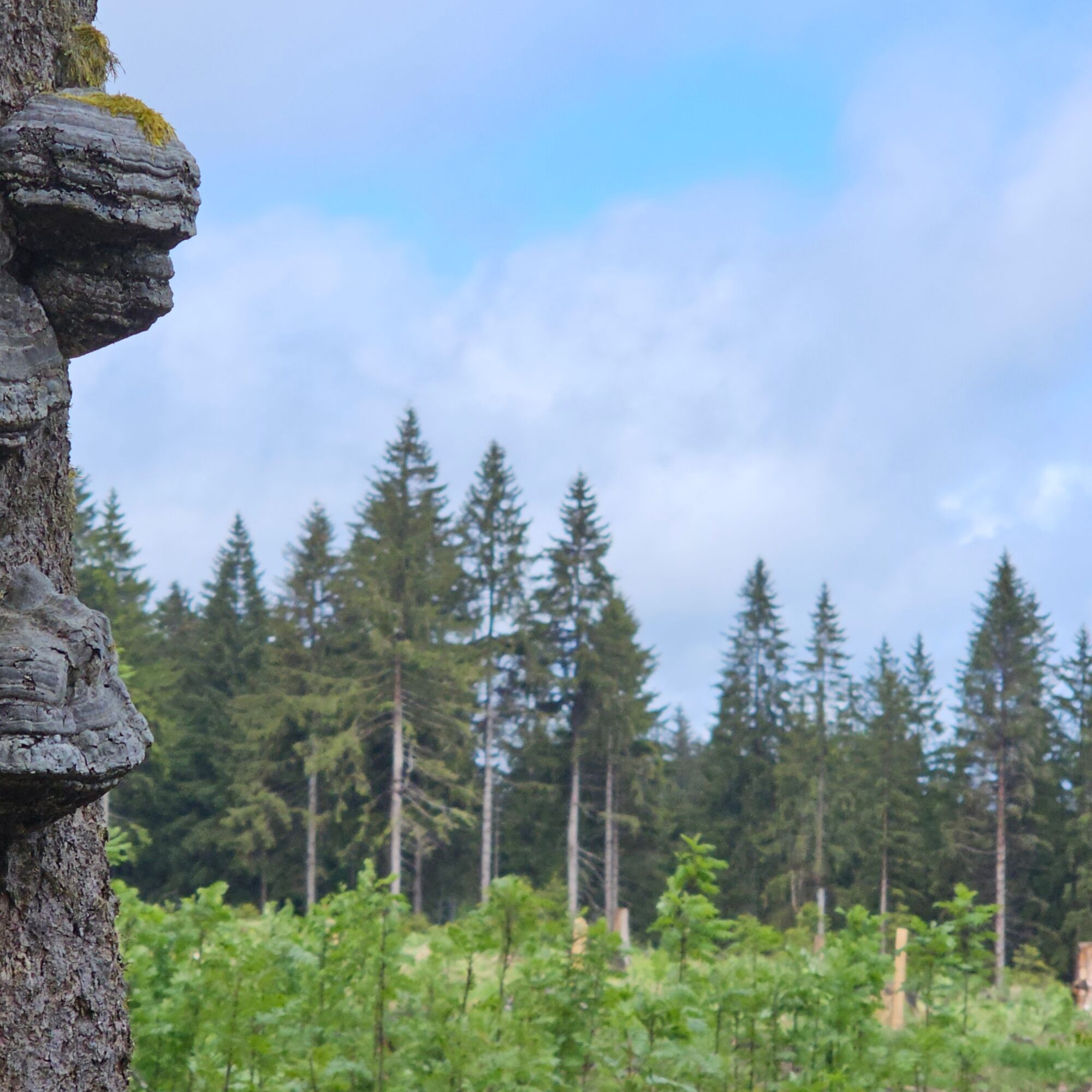
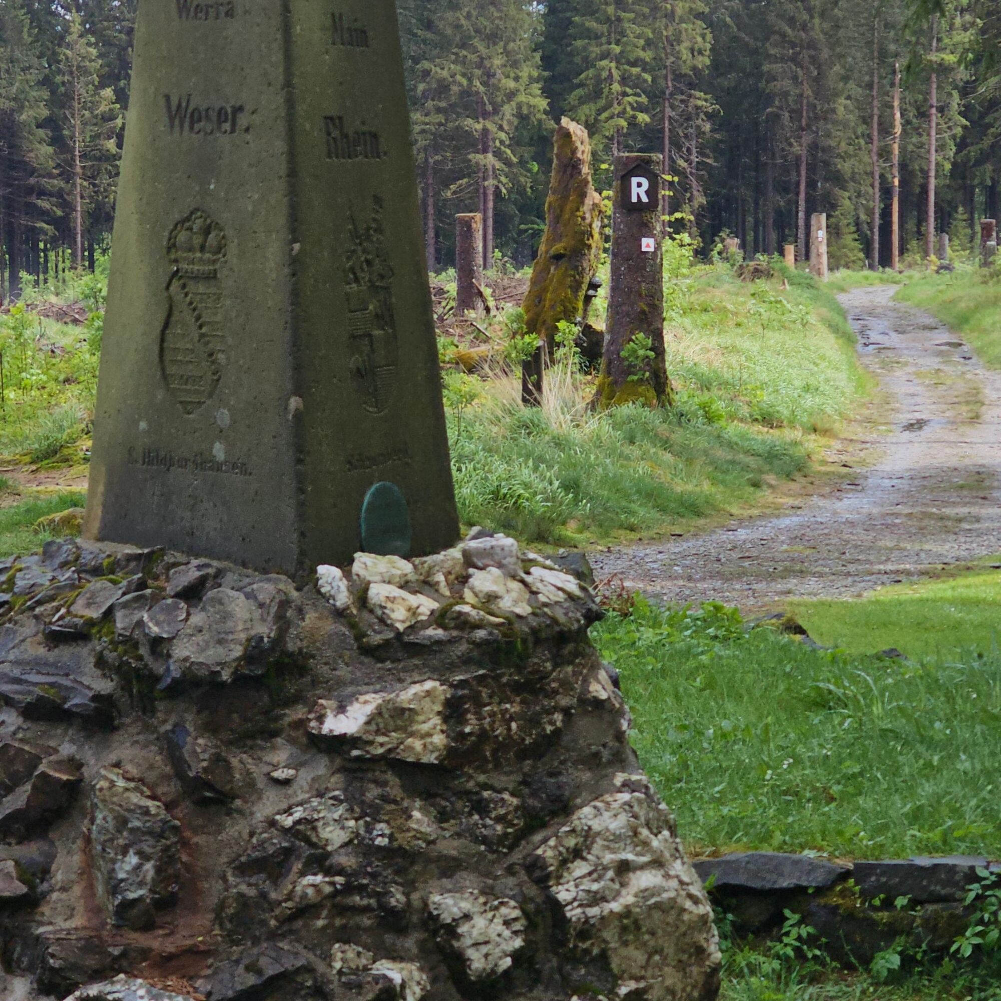
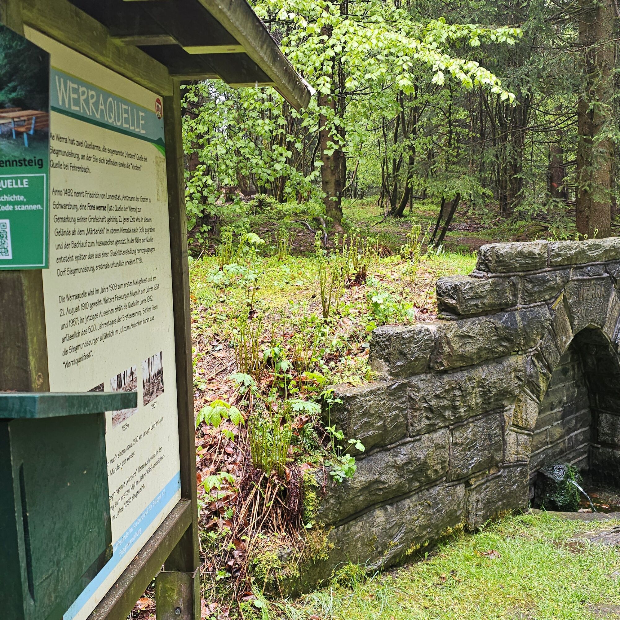

The hiking trail connects Bavaria with the Rennsteig and leads from the state border north of Coburg through the Schaumberger Land up to the Thuringian Mountains.
Da
Sturdy footwear and rain protection make hiking in the mountains easier.
In the Thuringian Slate Mountains, there is often still snow in spring, and the temperatures there are lower all year round than in the valleys.
Almerswind is located on the state border Bavaria - Thuringia between Coburg and Schalkau on the L1 112 and can be easily reached via the BAB 73 exits Neustadt bei Coburg or Eisfeld.
The tour starts at the bus stop in Almerswind. From the destination Siegmundsburg, regular buses run back to Schalkau.
Free parking spaces are available at the starting point
T1
A short detour to the former Celtic castle is worthwhile, as from there you have a wonderful panoramic view. From the observation tower on Bleßberg, the view extends even further.
Spletne kamere s turneje
Pridobite vpogled
Vedno v živo na mestu z več kot 9.500 spletnimi kamerami. bergfex Kot uporabnik Pro si lahko zdaj ogledate ustrezne spletne kamere za številne izlete v aplikaciji izleti iz. Tako si lahko neposredno ogledate trenutne razmere.
Priljubljeni izleti v okolici
-
5.0
Naturlehrpfad Gießübler Schweiz
srednjaPohodništvo 7.99 km -
5.0
Circular hiking route - TOP 1 - Werra Source - Masserberg - Thuringian Forest
srednjaPohodništvo 5.94 km -
Circular route - "When Rennsteig meets the Schwarzatal panorama path" - Limbach
srednjaPohodništvo 9.68 km -
5.0
Circular hiking route - "Panorama View" - Schönbrunn - Thuringian Forest
srednjaPohodništvo 9.79 km -
Circular route - TOP 3 - hike with a view - Masserberg - Thuringian Forest
srednjaPohodništvo 17.3 km -
4.0
Circular hiking trail - TOP 2 - Masserberg - "Cultural Experience" - Friedrichshöhe - Thuringian Forest
srednjaPohodništvo 15.2 km -
Circular hike - Around the pumped-storage power plant - Goldisthal
srednjaPohodništvo 19.5 km -
Circular hiking trail - TOP 5 - "Family Fun" - House of Nature Goldisthal - Masserberg - Thuringian Forest
srednjaPohodništvo 8.12 km -
Terrain therapy trail Masserberg - TKW 4 Sommerberg/Dreiherrenstein - Thuringian Forest
srednjaPohodništvo 7.28 km -
Nature Park Trail - Griffel Path in the Thuringian Forest
težkoTematska pot 6.45 km
Pohodništvo in sledenje


Ne zamudite ponudb in navdiha za naslednje počitnice
Vaš e-poštni naslov je bil dodan na poštni seznam.





