


Trail running: Aggenstein loop
Stopnja težavnosti: T3


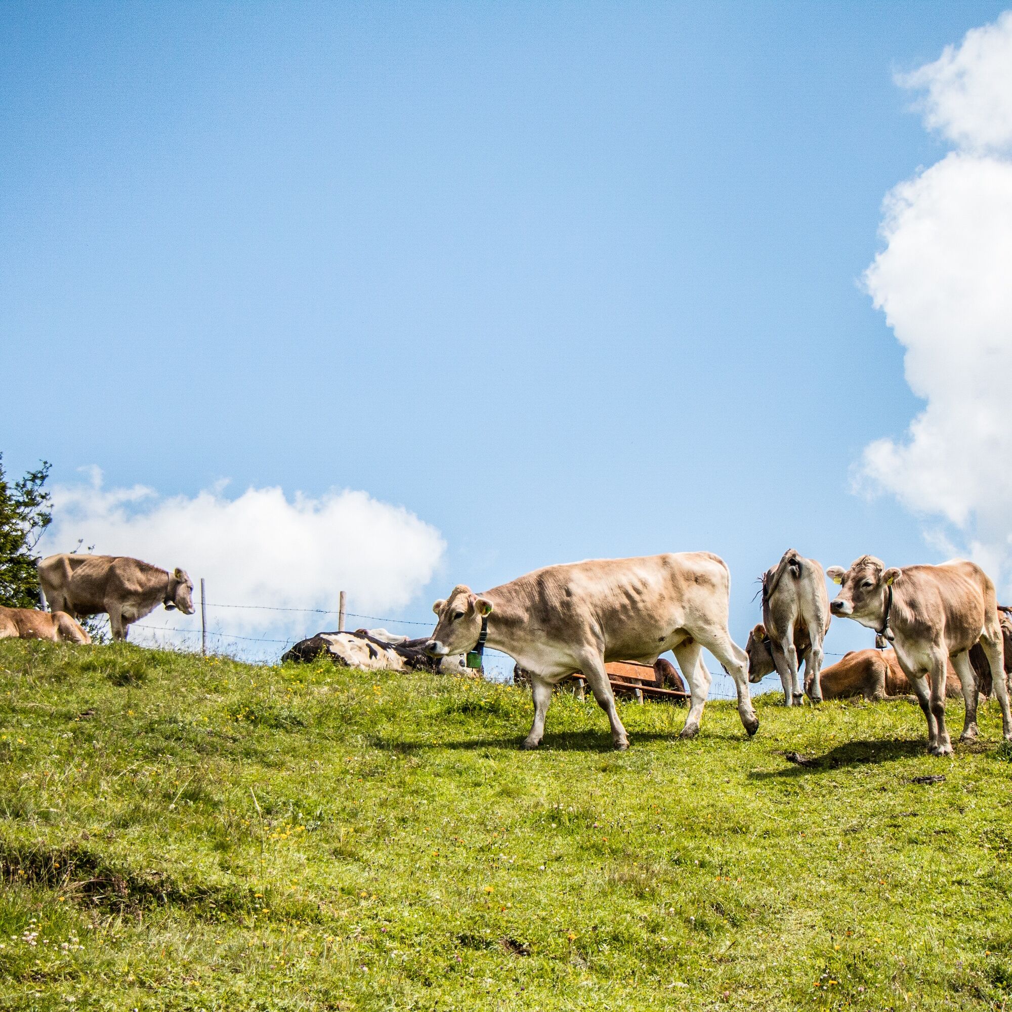
Fotografije naših uporabnikov
-
 © karlheinz adonisUstvarjeno na 08.09.2025
 -
 © Margarita HildermannUstvarjeno na 07.09.2025
 -
 © Tobias RudolphUstvarjeno na 24.08.2025
 -
 © Tobias RudolphUstvarjeno na 24.08.2025
 -
 © Thomas EderleUstvarjeno na 09.08.2025
 -
 © Thomas EderleUstvarjeno na 09.08.2025
 -
 © Hans Werner BallUstvarjeno na 27.06.2025
 -
 © Hans Werner BallUstvarjeno na 27.06.2025
 -
 © Hans Werner BallUstvarjeno na 27.06.2025
 -
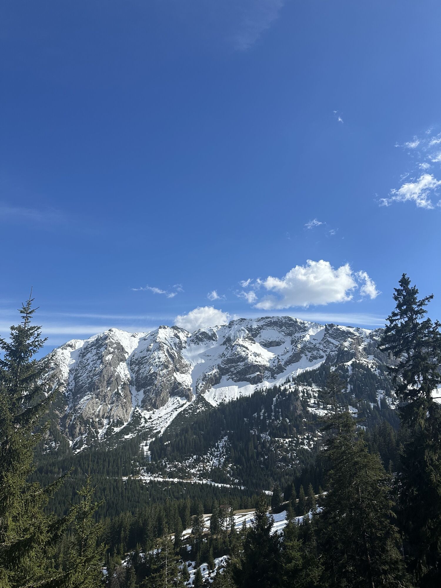
 © xLeon-Alpin⛏️Ustvarjeno na 05.04.2025
 -
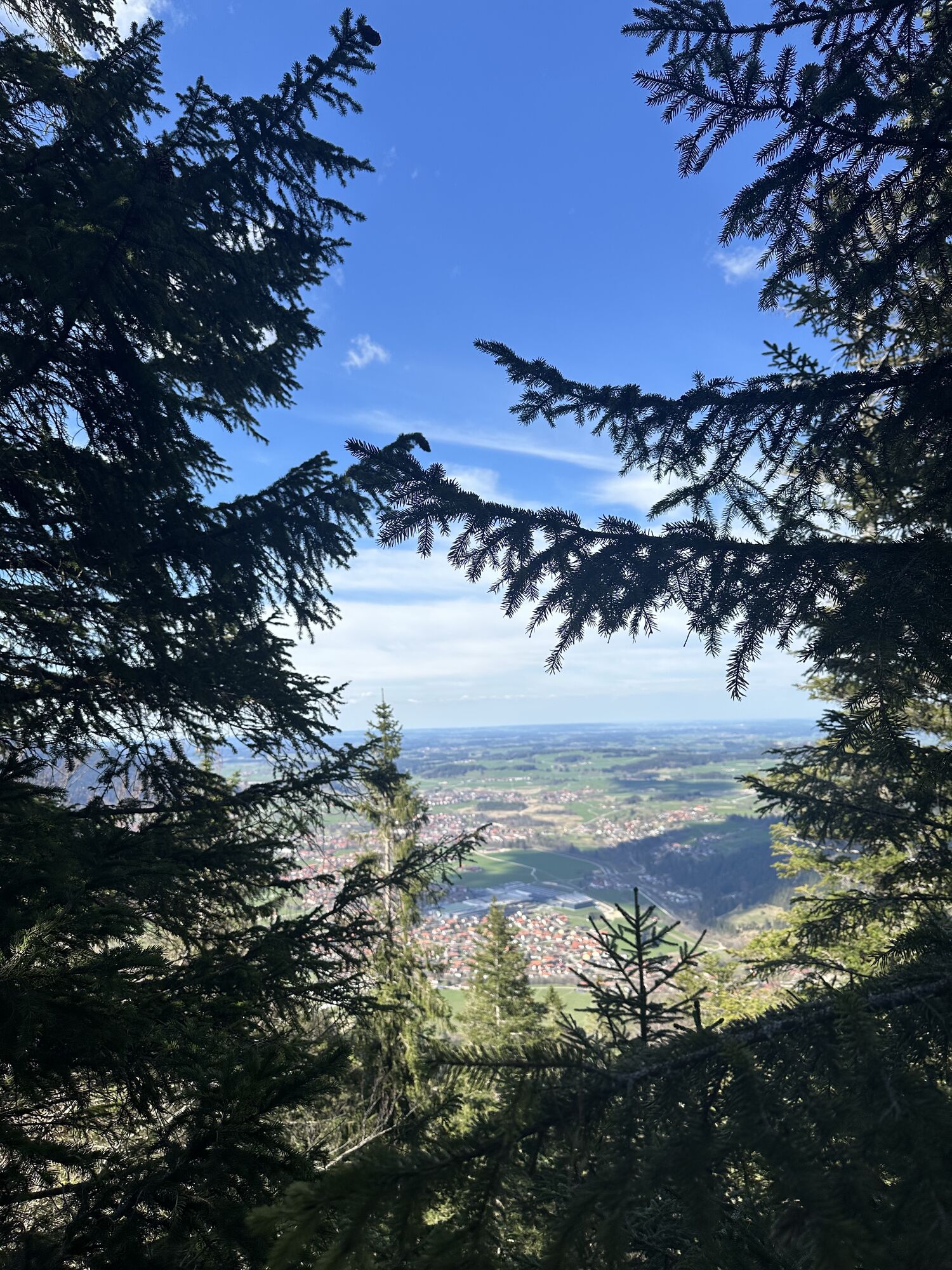
 © xLeon-Alpin⛏️Ustvarjeno na 05.04.2025
 -
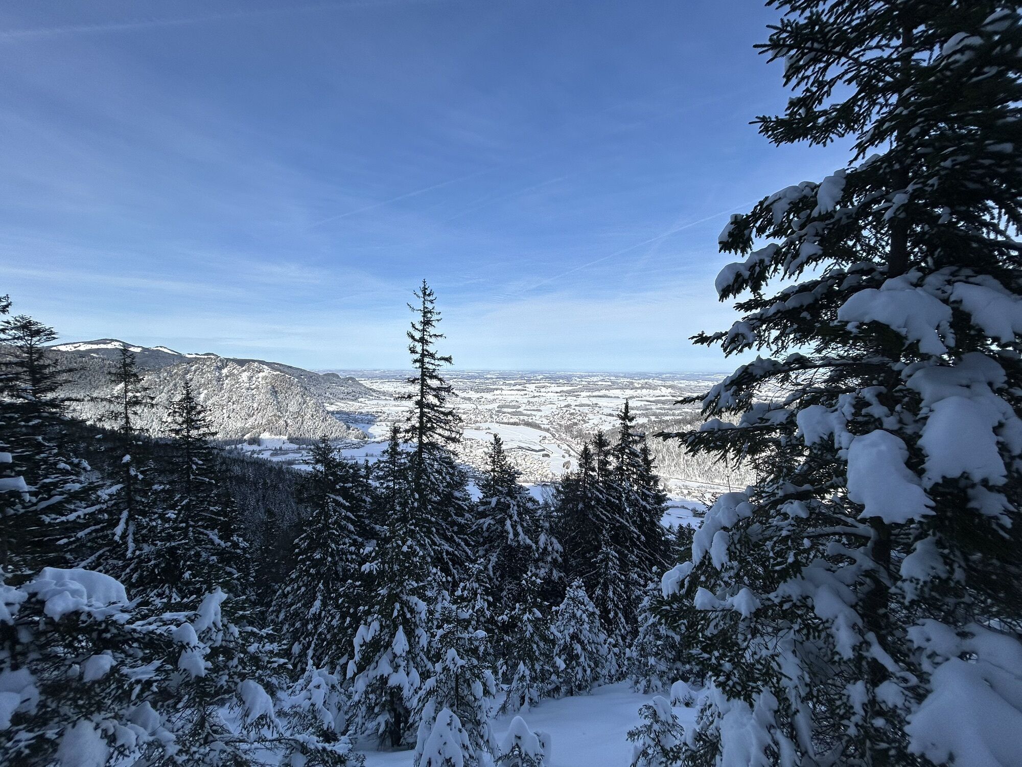
 © xLeon-Alpin⛏️Ustvarjeno na 05.04.2025
 -
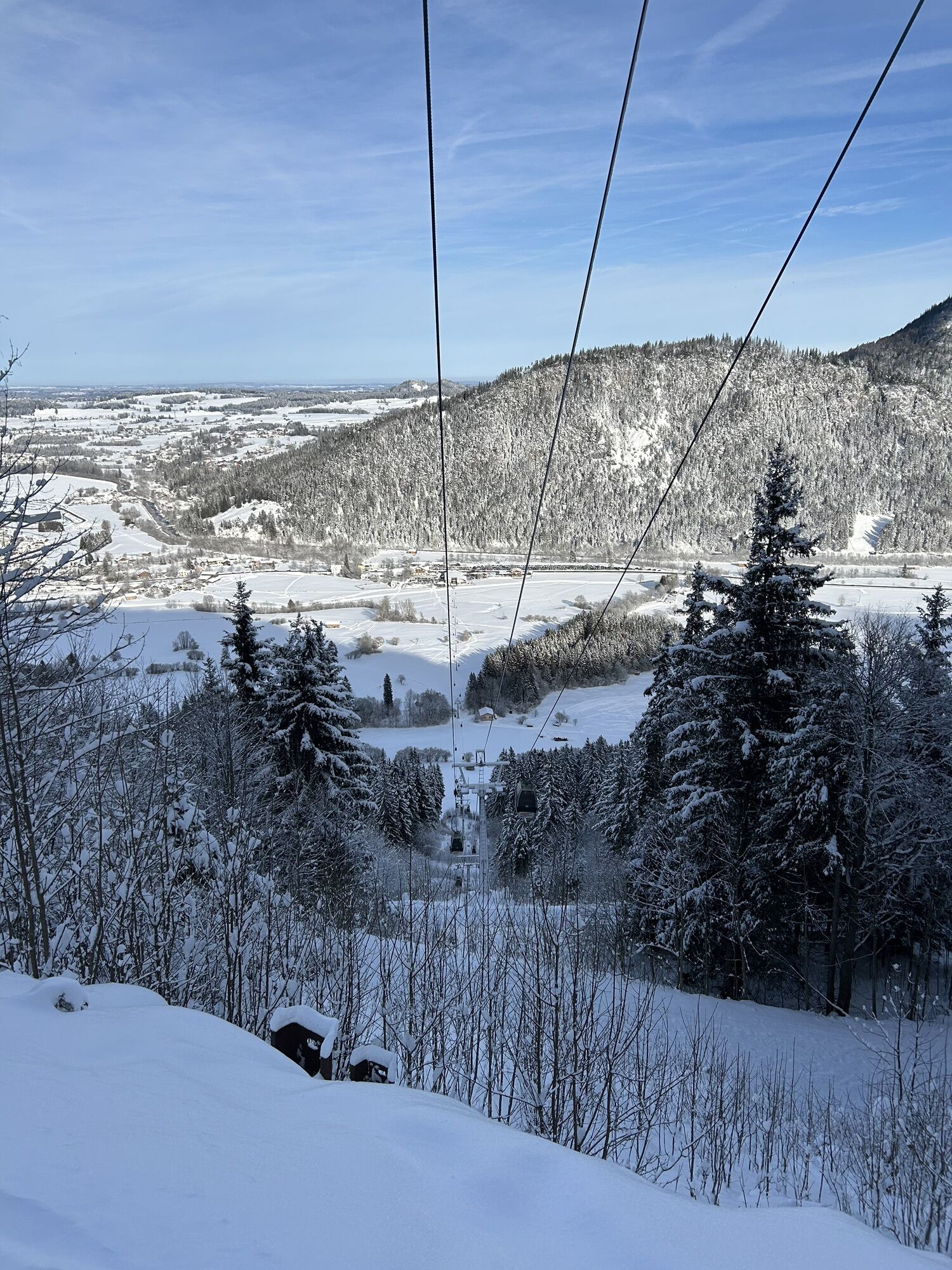
 © xLeon-Alpin⛏️Ustvarjeno na 05.04.2025
 -
 © xLeon-Alpin⛏️Ustvarjeno na 05.04.2025
 -
 © Matthias MarekUstvarjeno na 04.01.2025
 -
 © Matthias MarekUstvarjeno na 04.01.2025
 -
 © MattiUstvarjeno na 23.09.2024
 -
 © Michael Schröder-TimmUstvarjeno na 20.09.2024
 -
 © Michael Schröder-TimmUstvarjeno na 20.09.2024
 -
 © Szuki76Ustvarjeno na 10.08.2024
 -

 © KatharinaUstvarjeno na 13.06.2024
 -
 © KatharinaUstvarjeno na 13.06.2024
 -
 © MattiUstvarjeno na 16.10.2023
 -
 © lotharkoernerUstvarjeno na 12.06.2023
 -
 © lotharkoernerUstvarjeno na 12.06.2023
 -
 © lotharkoernerUstvarjeno na 12.06.2023
 -
 © Ralf UmmingerUstvarjeno na 29.10.2022
 -
 © Ralf UmmingerUstvarjeno na 29.10.2022
 -
 © Ralf UmmingerUstvarjeno na 29.10.2022
 -
 © Ralf UmmingerUstvarjeno na 29.10.2022
 -
 © lotharkoernerUstvarjeno na 20.06.2022
 -
 © jurixUstvarjeno na 10.10.2021
 -
 © jurixUstvarjeno na 10.10.2021
 -
 © jurixUstvarjeno na 10.10.2021
 -
 © jurixUstvarjeno na 09.10.2021
 -
 © jurixUstvarjeno na 09.10.2021
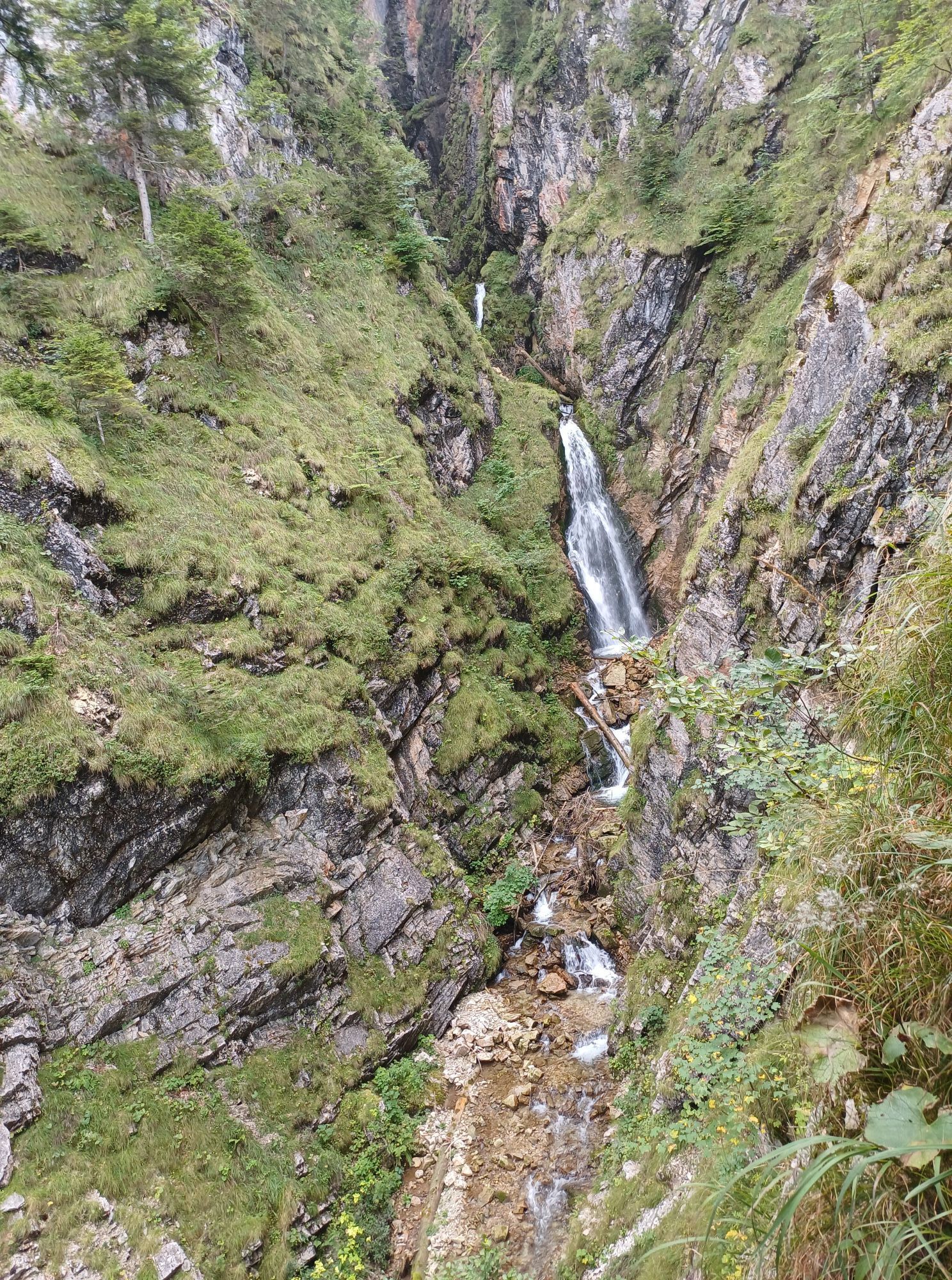

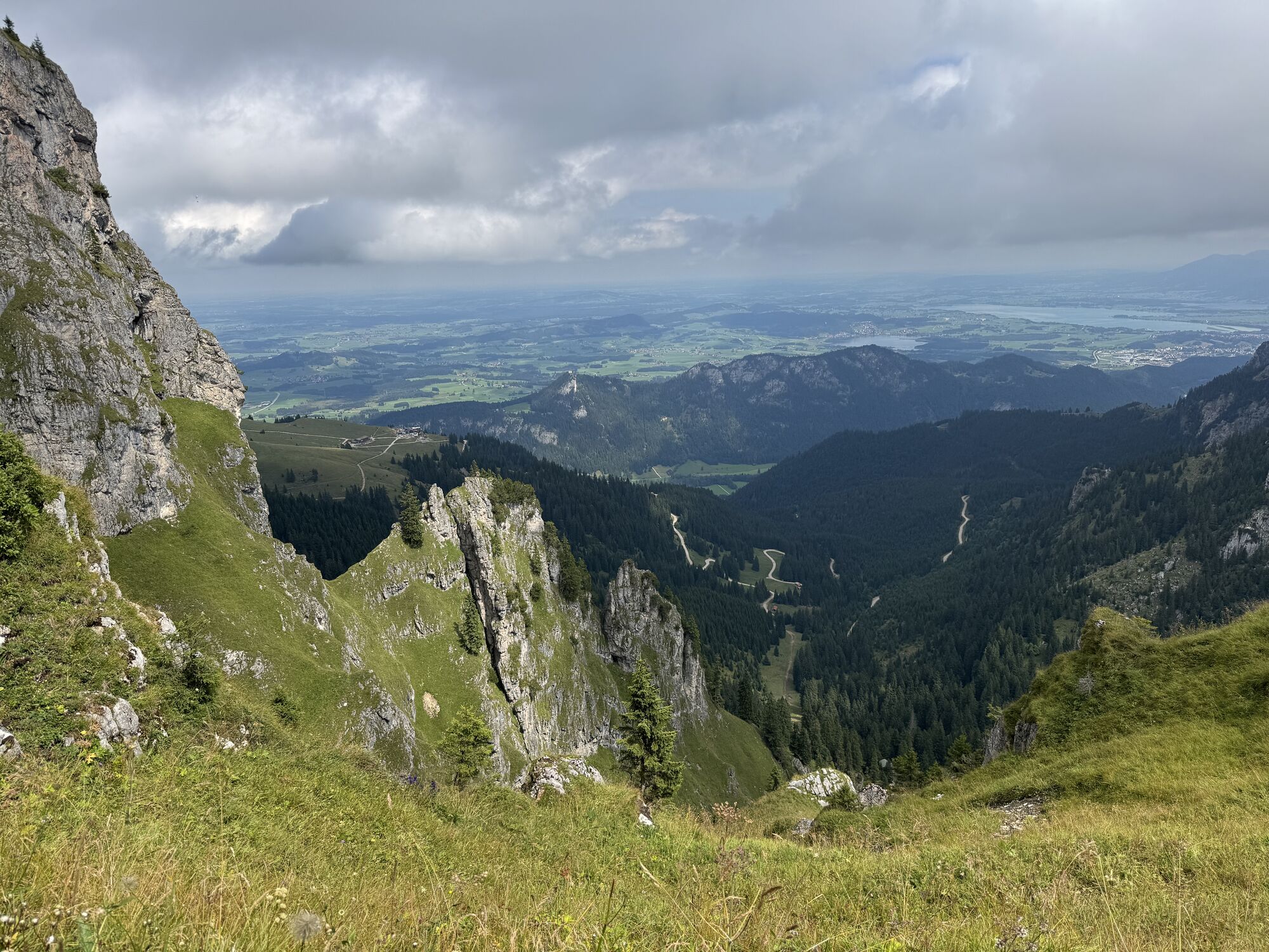

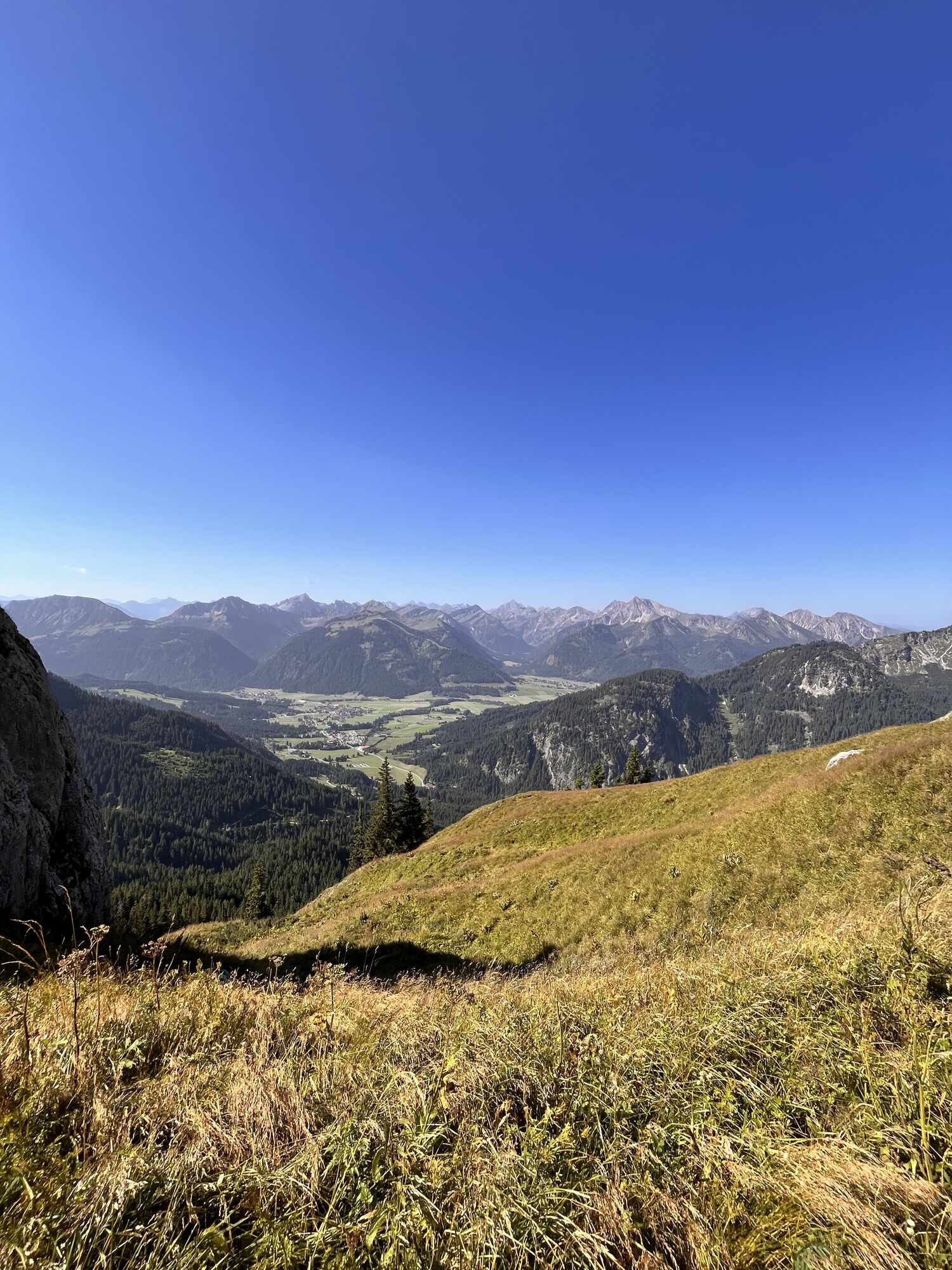


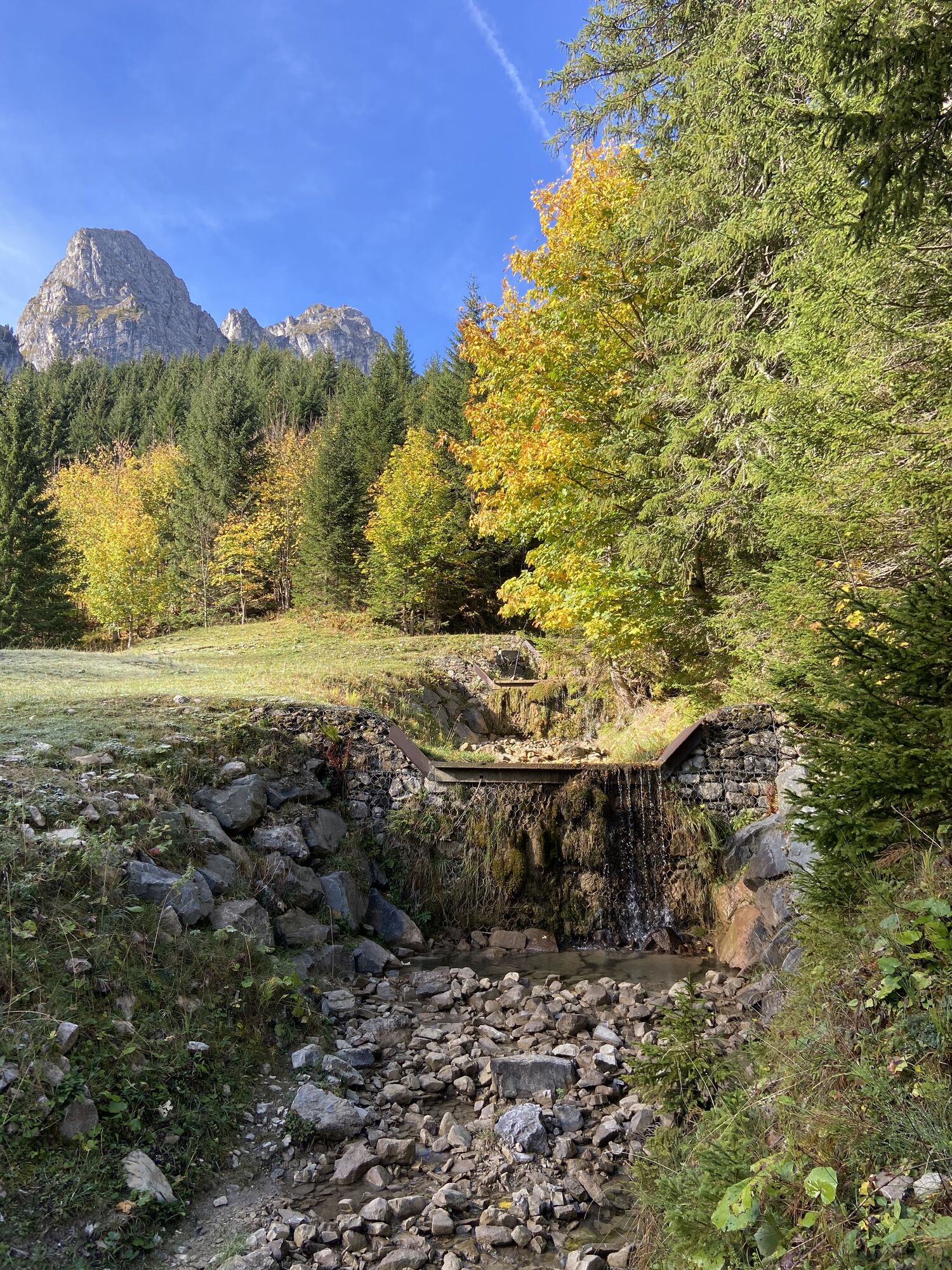


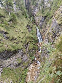
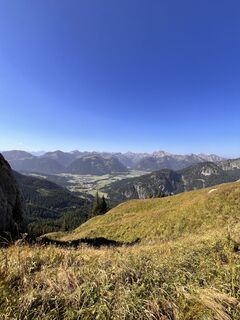
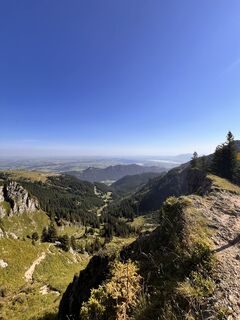
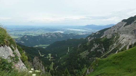
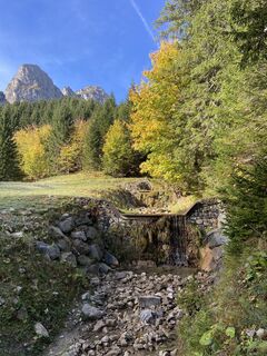
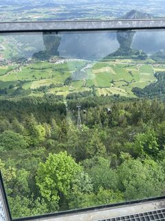
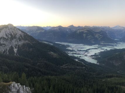
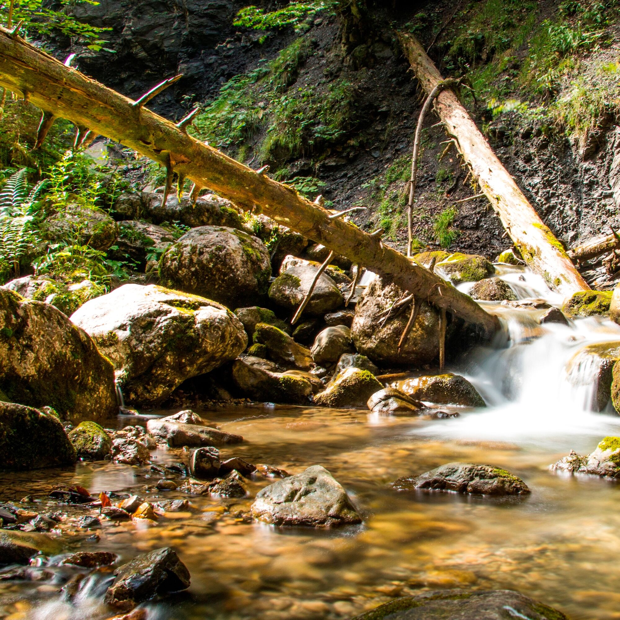
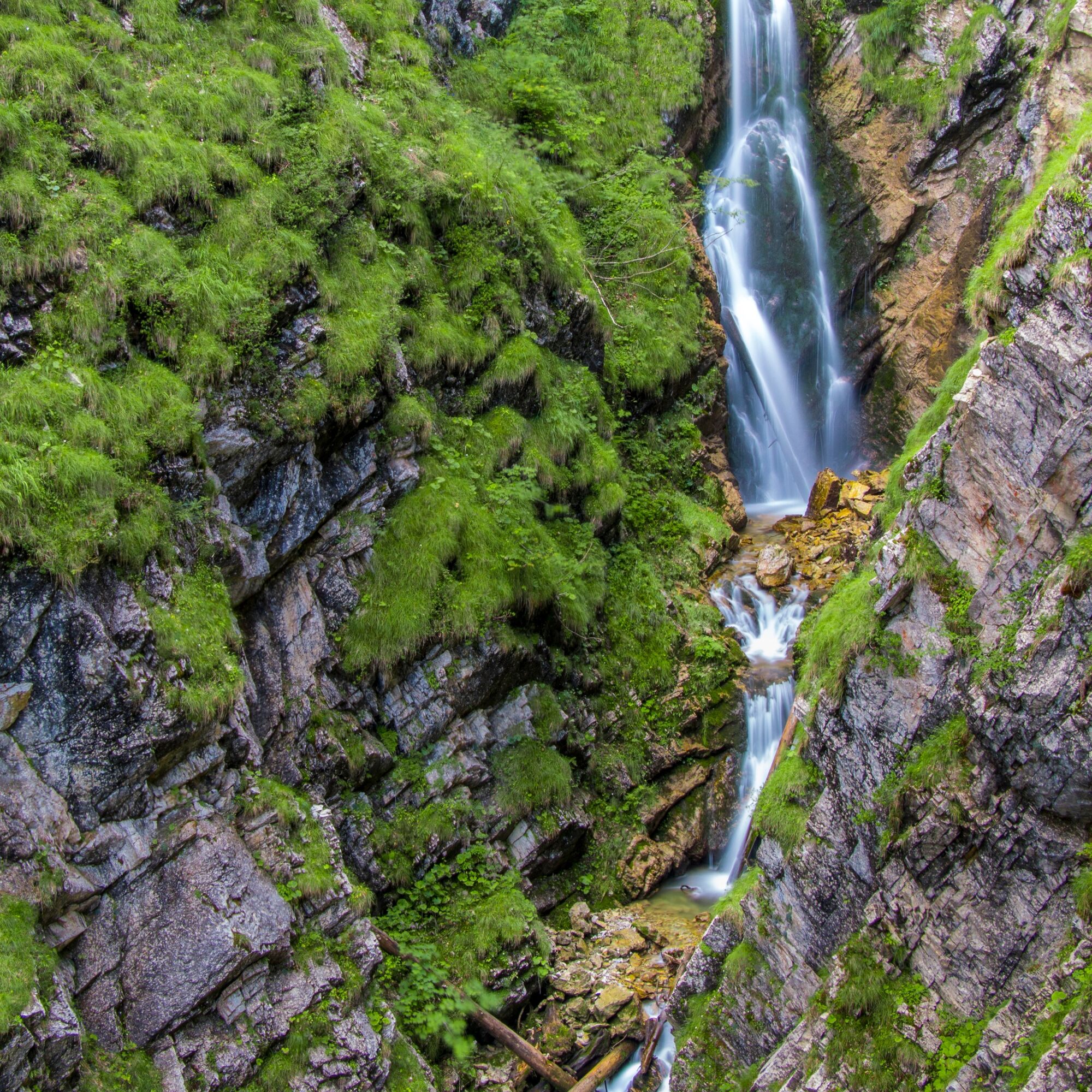
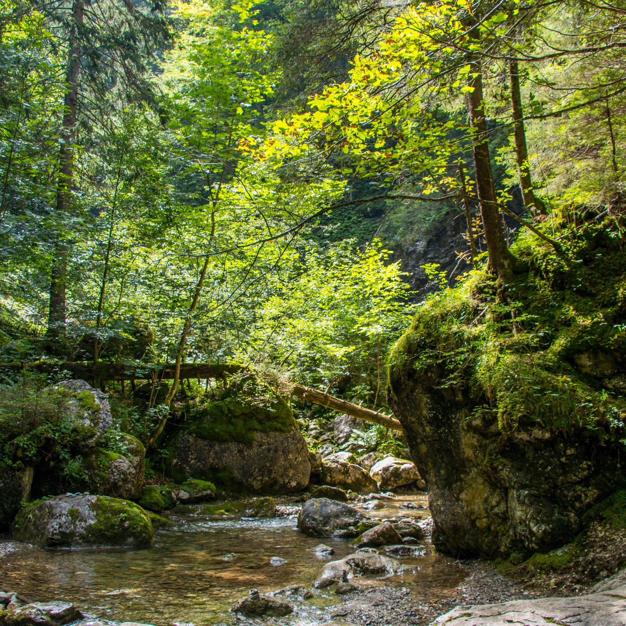
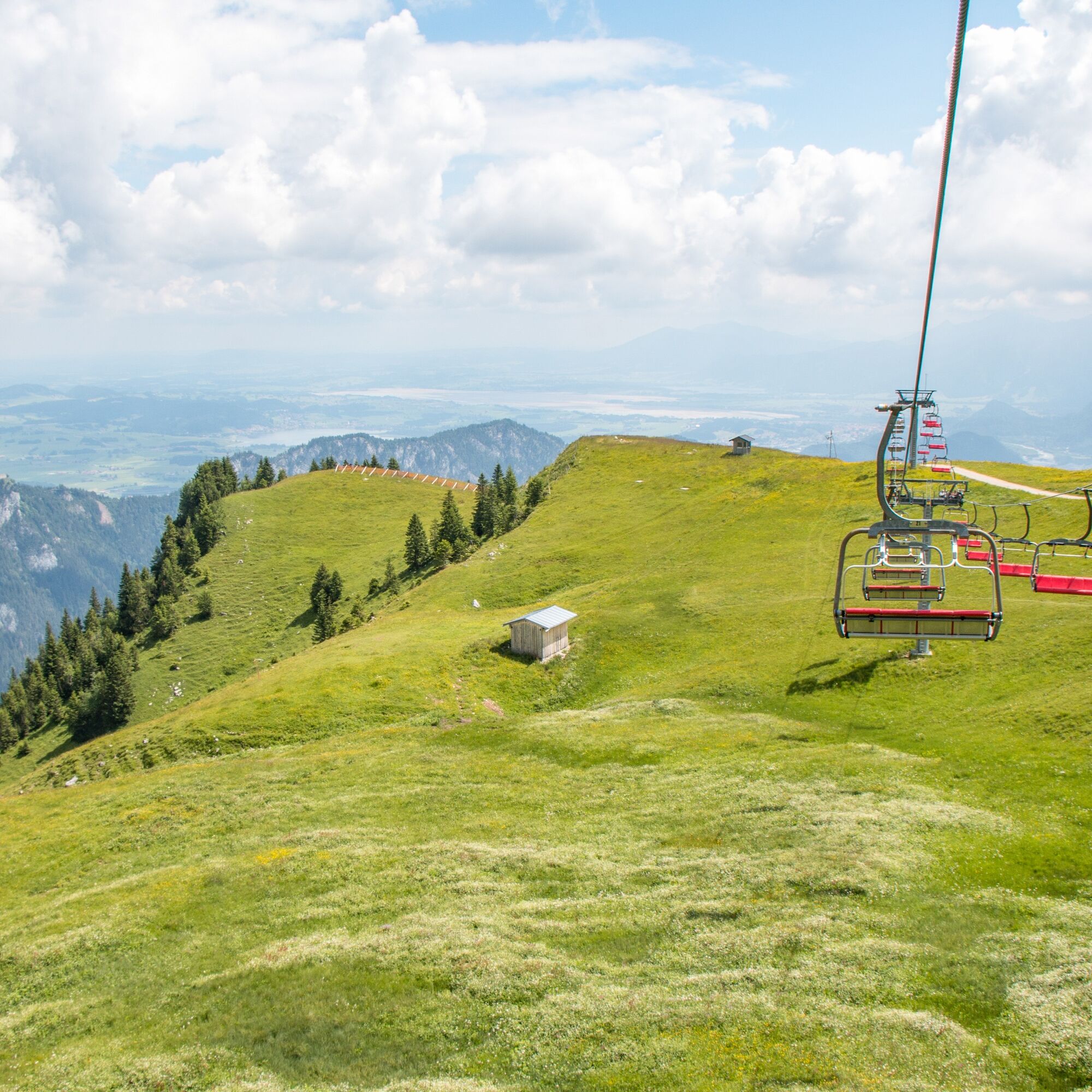
The trail running loop starts at the valley station of the Breitenbergbahn. After a short warm-up over flowing meadow paths, you dive directly into the Reichenbachklamm. Varied trails wind along streams...
The trail running loop starts at the valley station of the Breitenbergbahn. After a short warm-up over flowing meadow paths, you dive directly into the Reichenbachklamm. Varied trails wind along streams and roaring waterfalls up to the scenic Breitenberg.
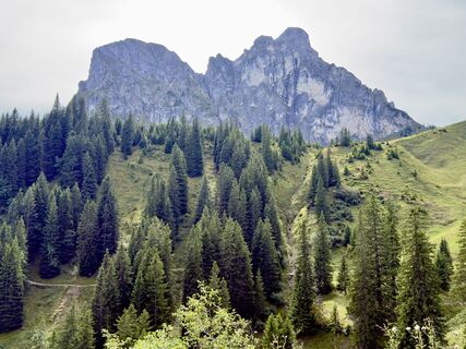
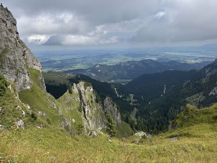
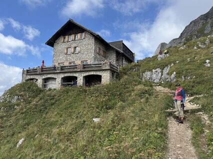
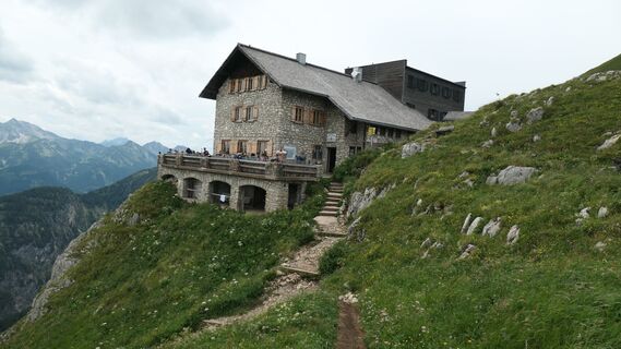
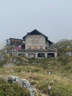
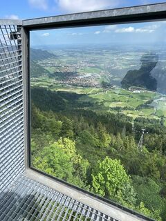
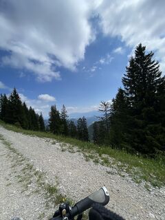
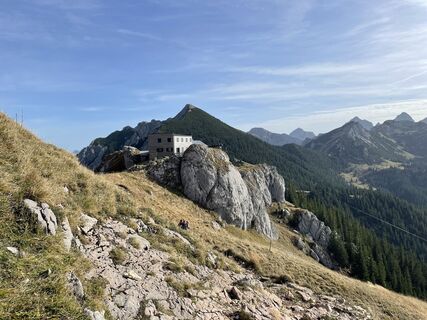
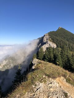
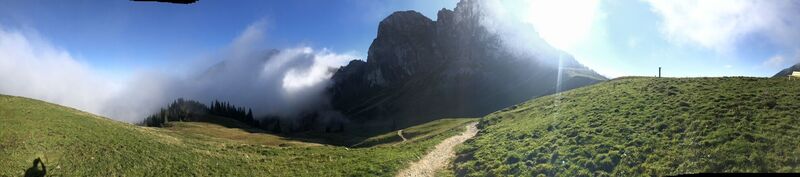
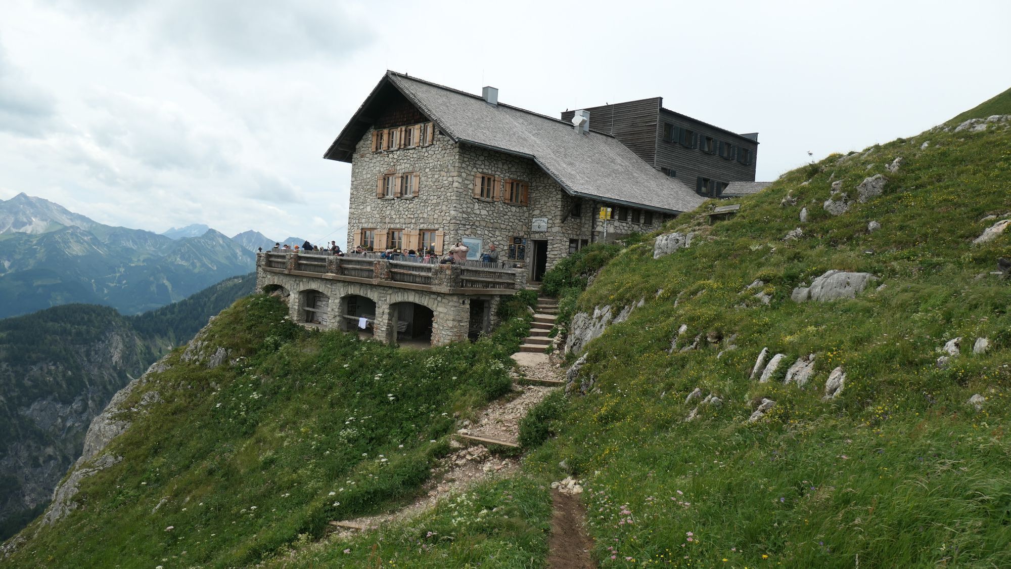
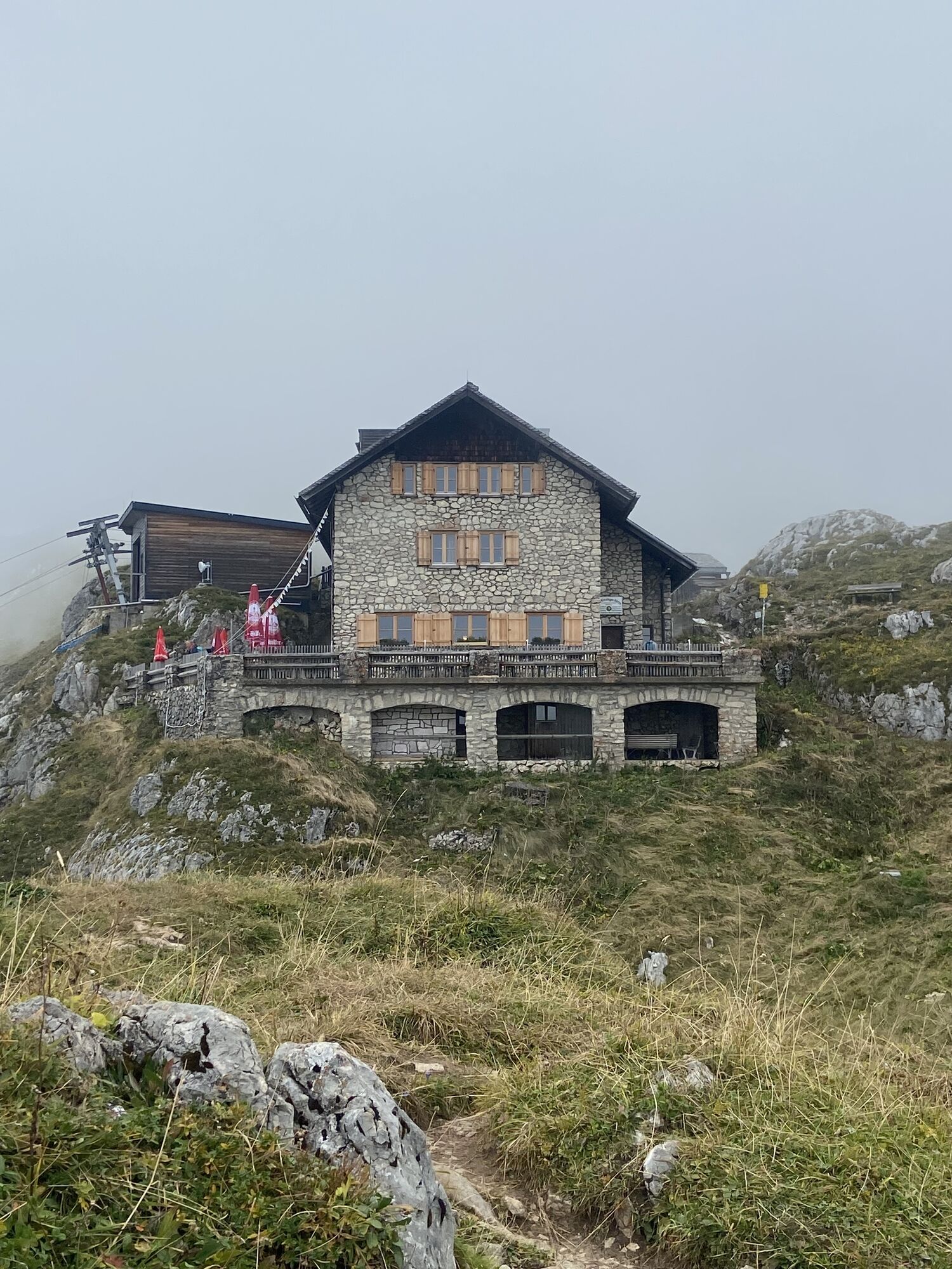
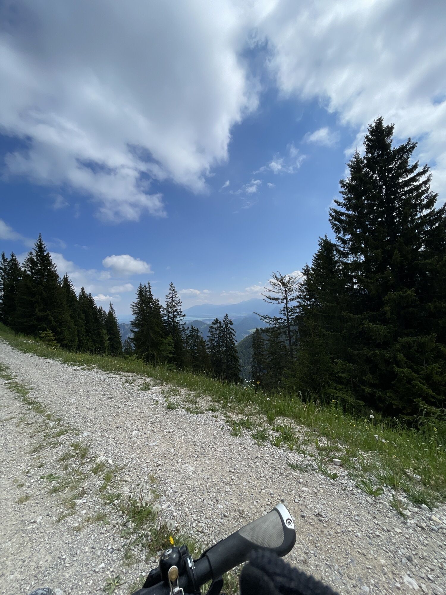
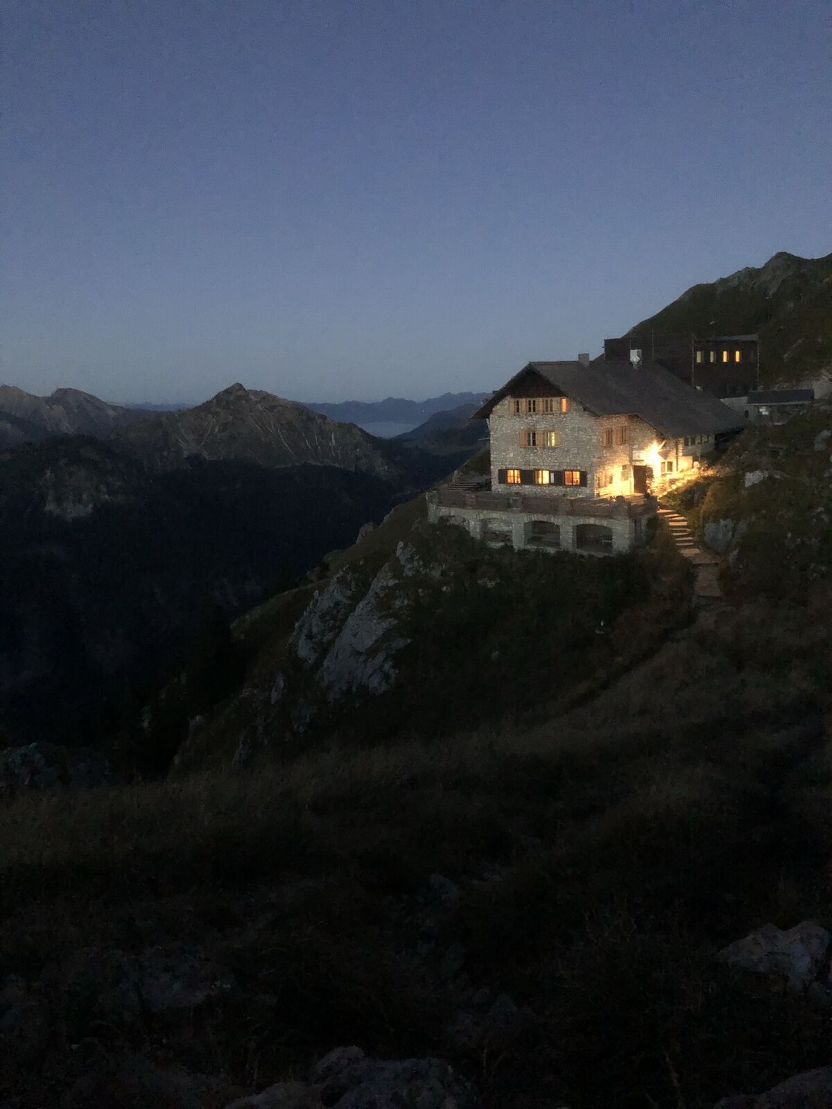
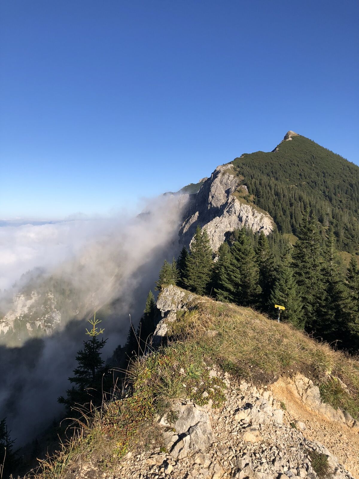
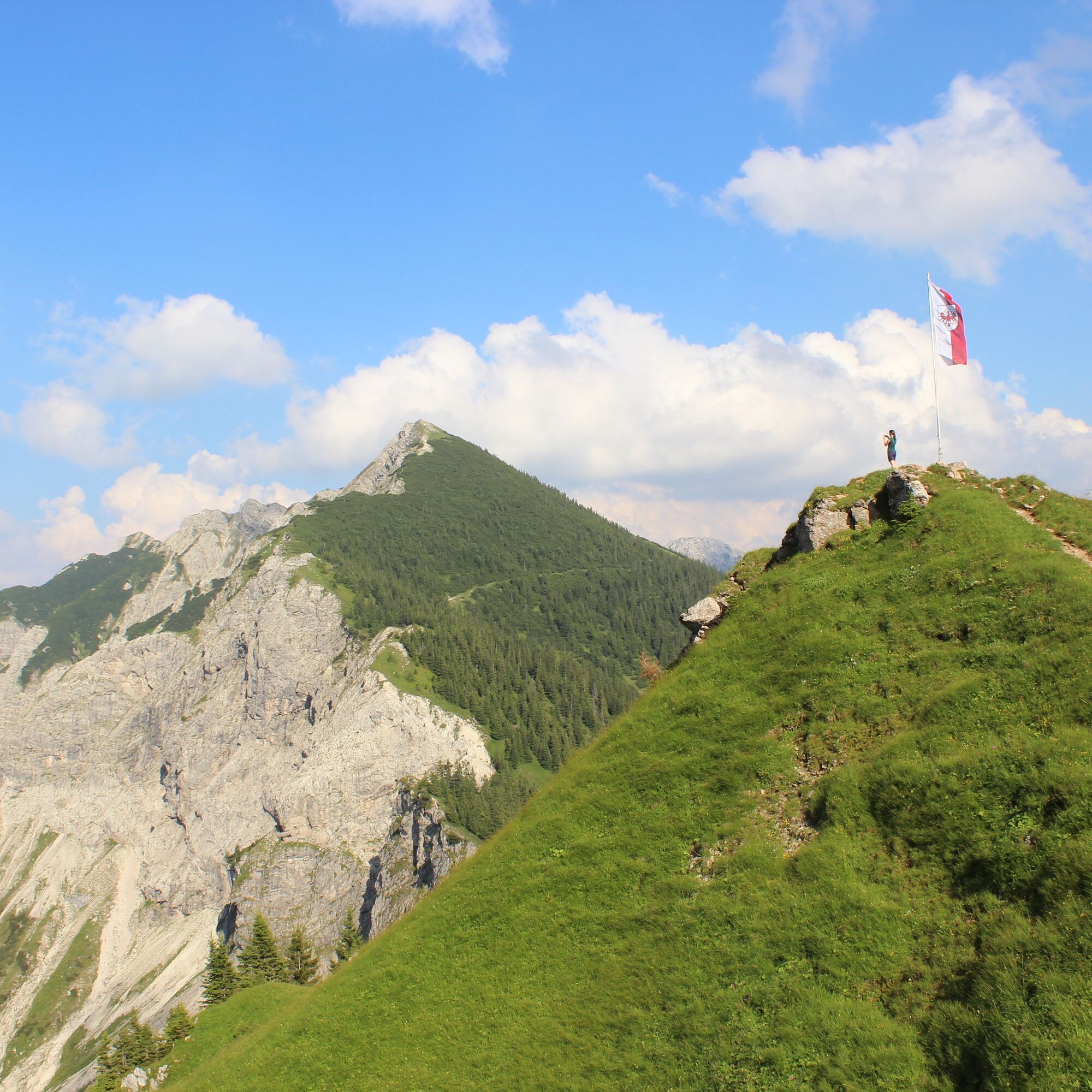
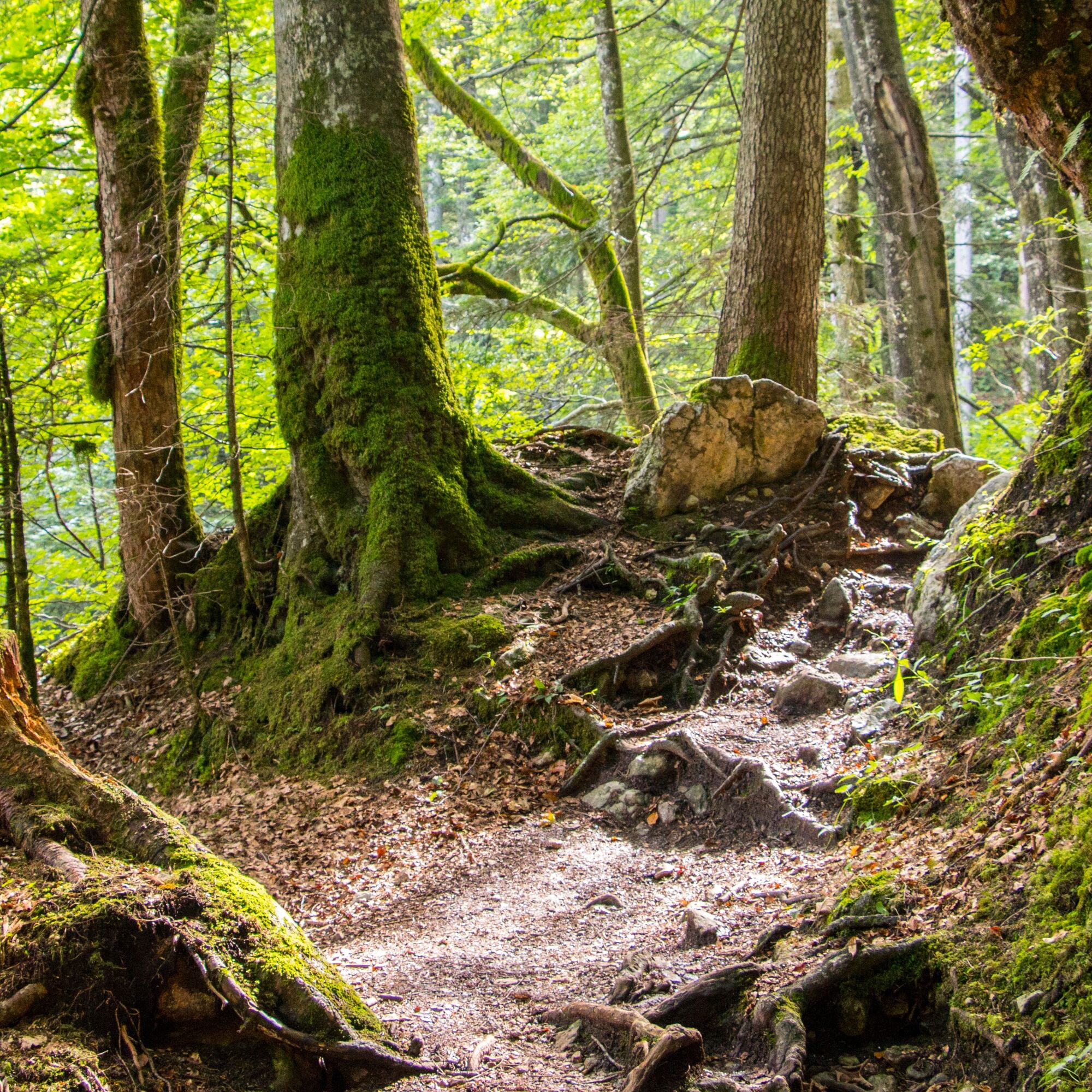
Across the extensive high plateau of the Hochalpe, you reach the so-called "Bösen Tritt" on narrow paths (sure-footedness required!). Only a short run later you reach the inviting Bad Kissinger hut – perfect for a refreshment with panoramic views.
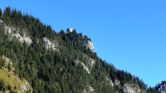
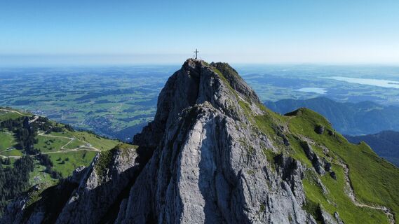
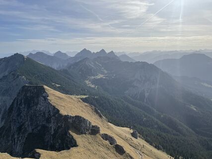
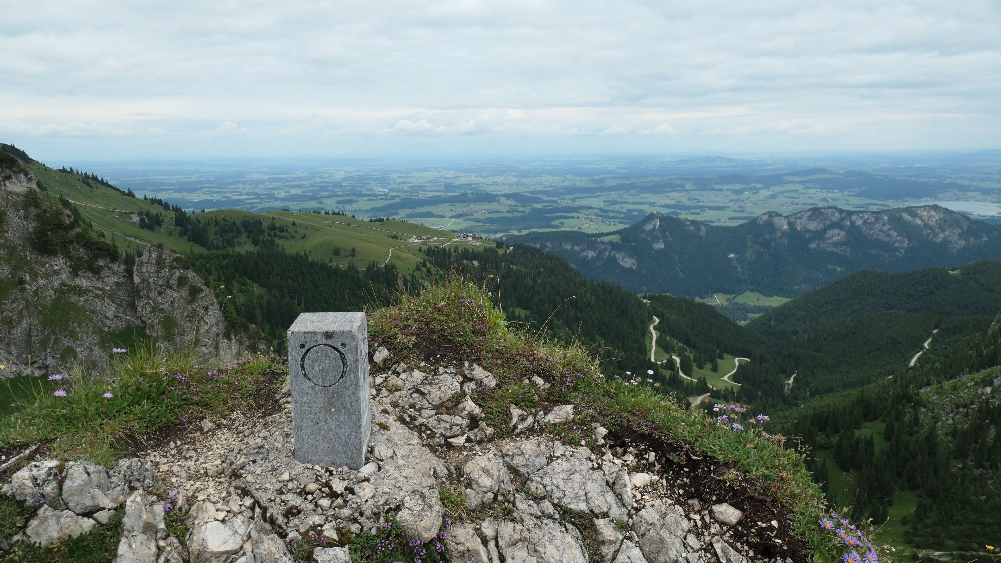
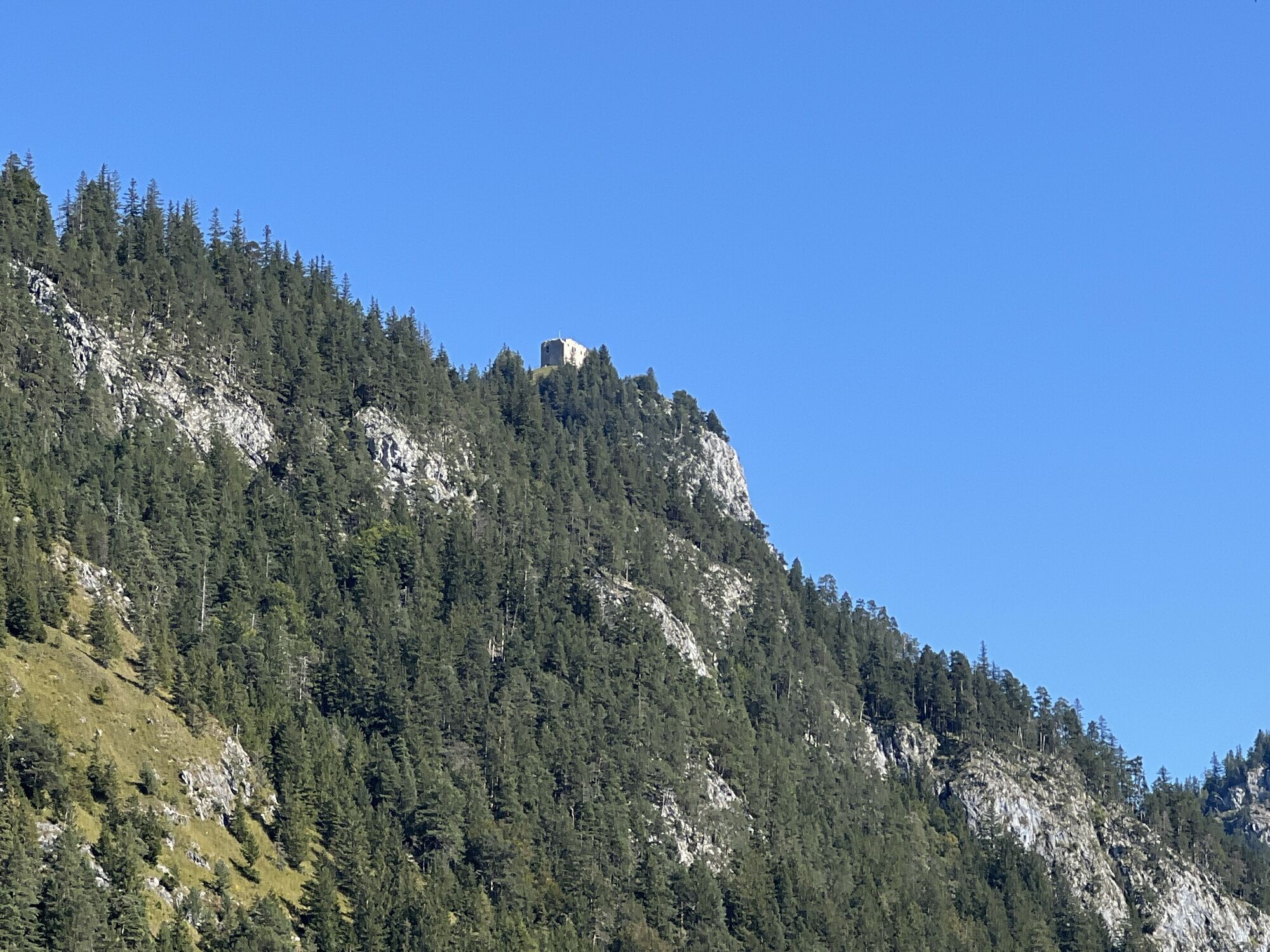
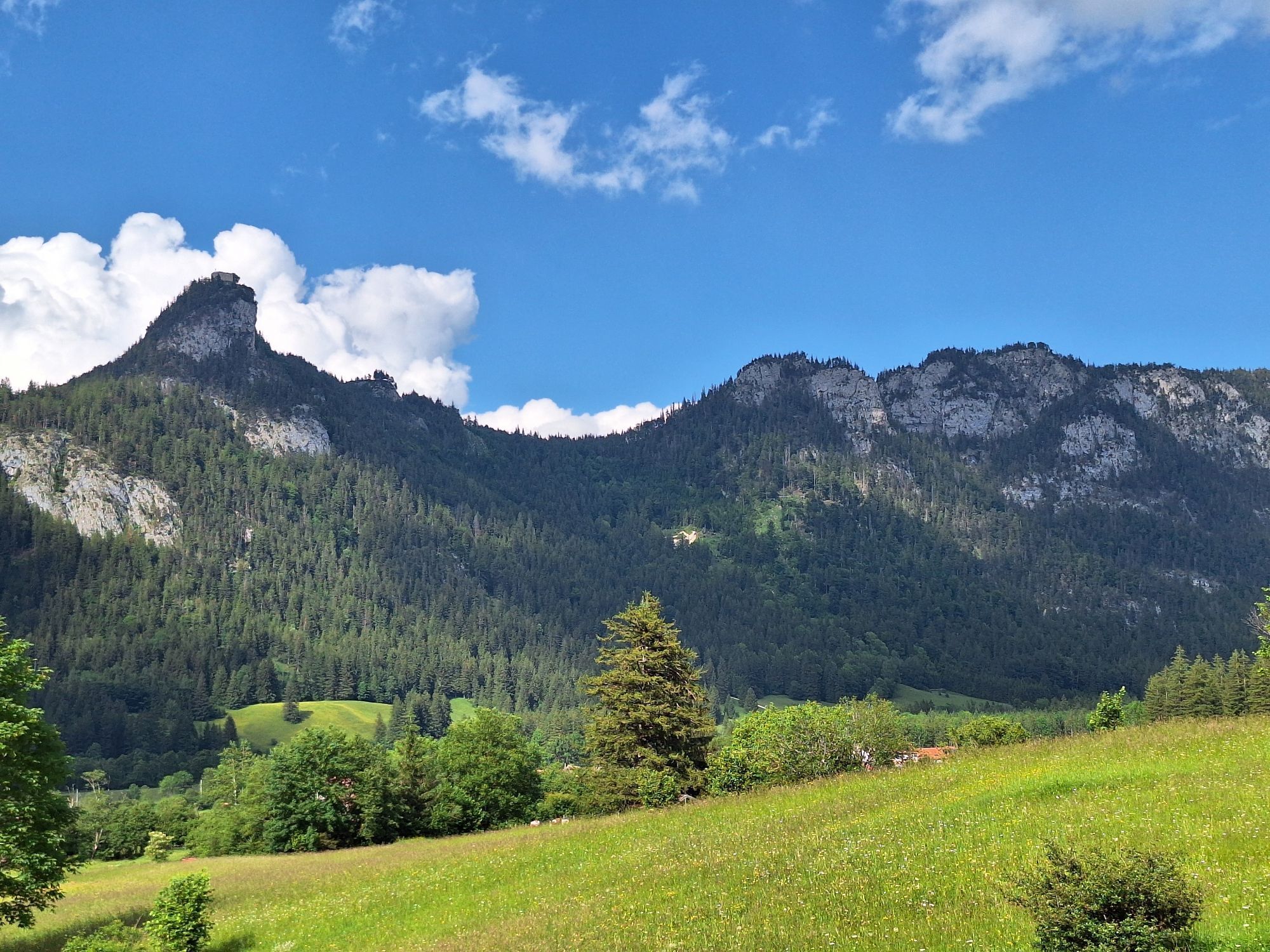
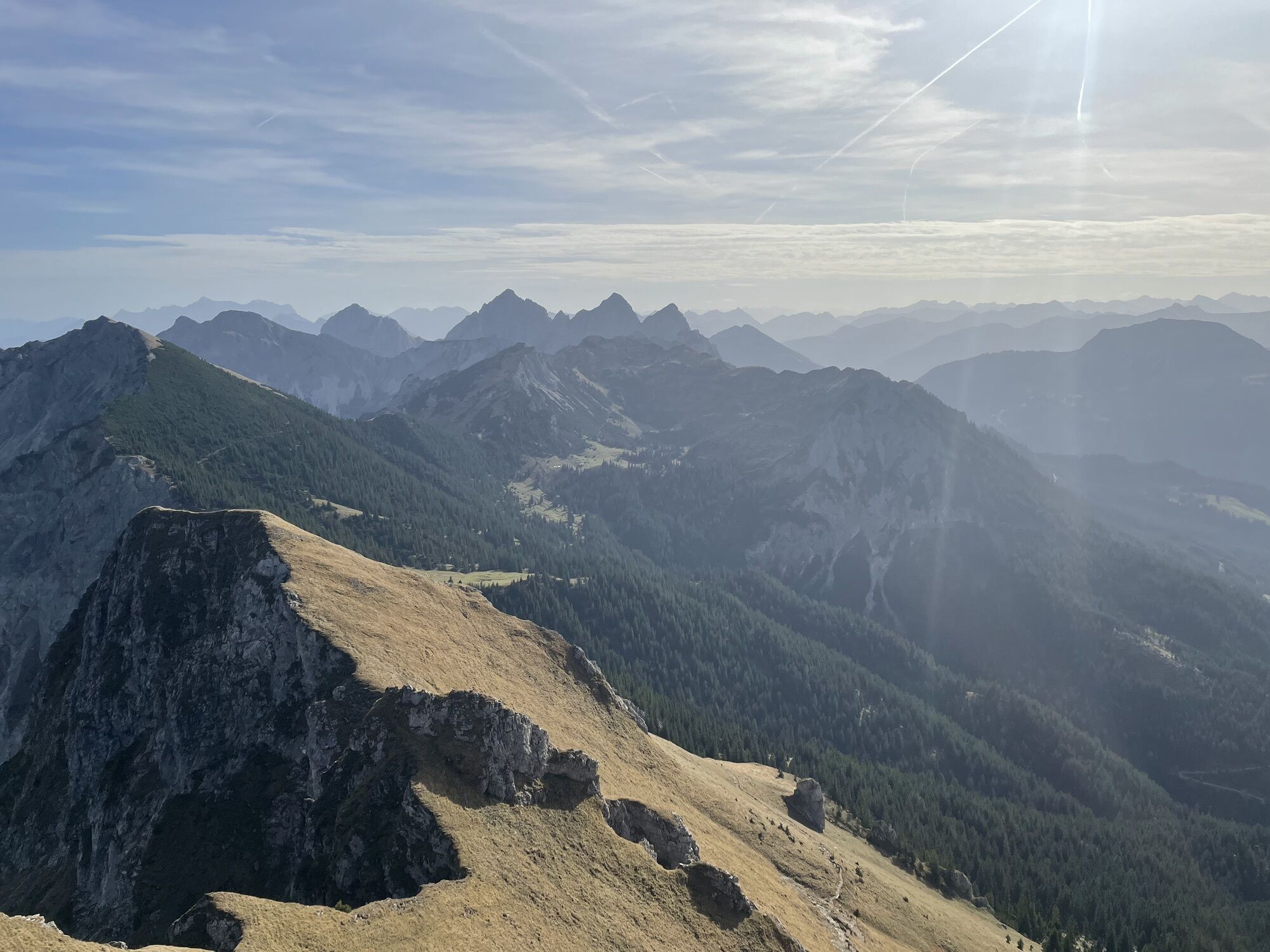
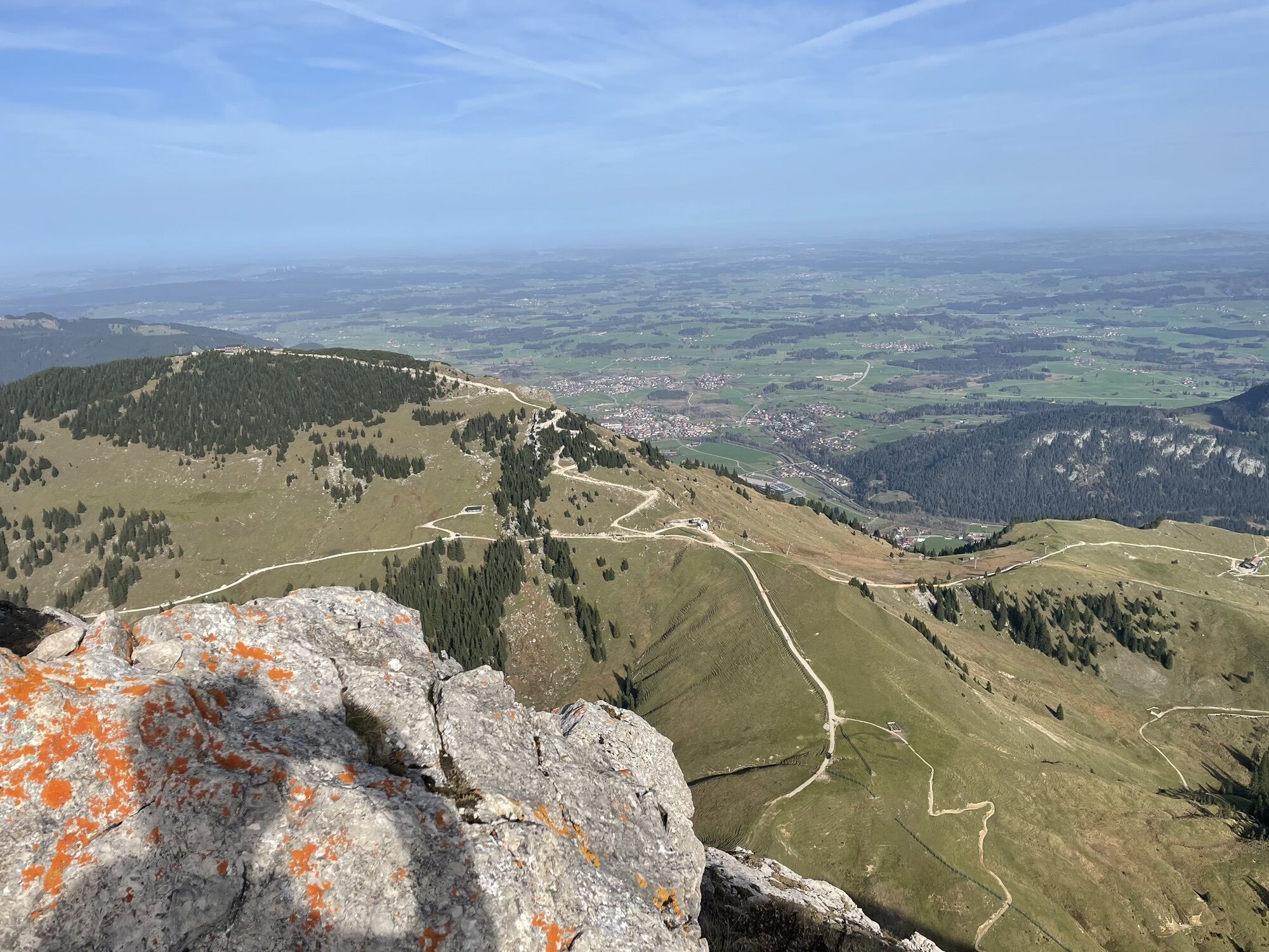
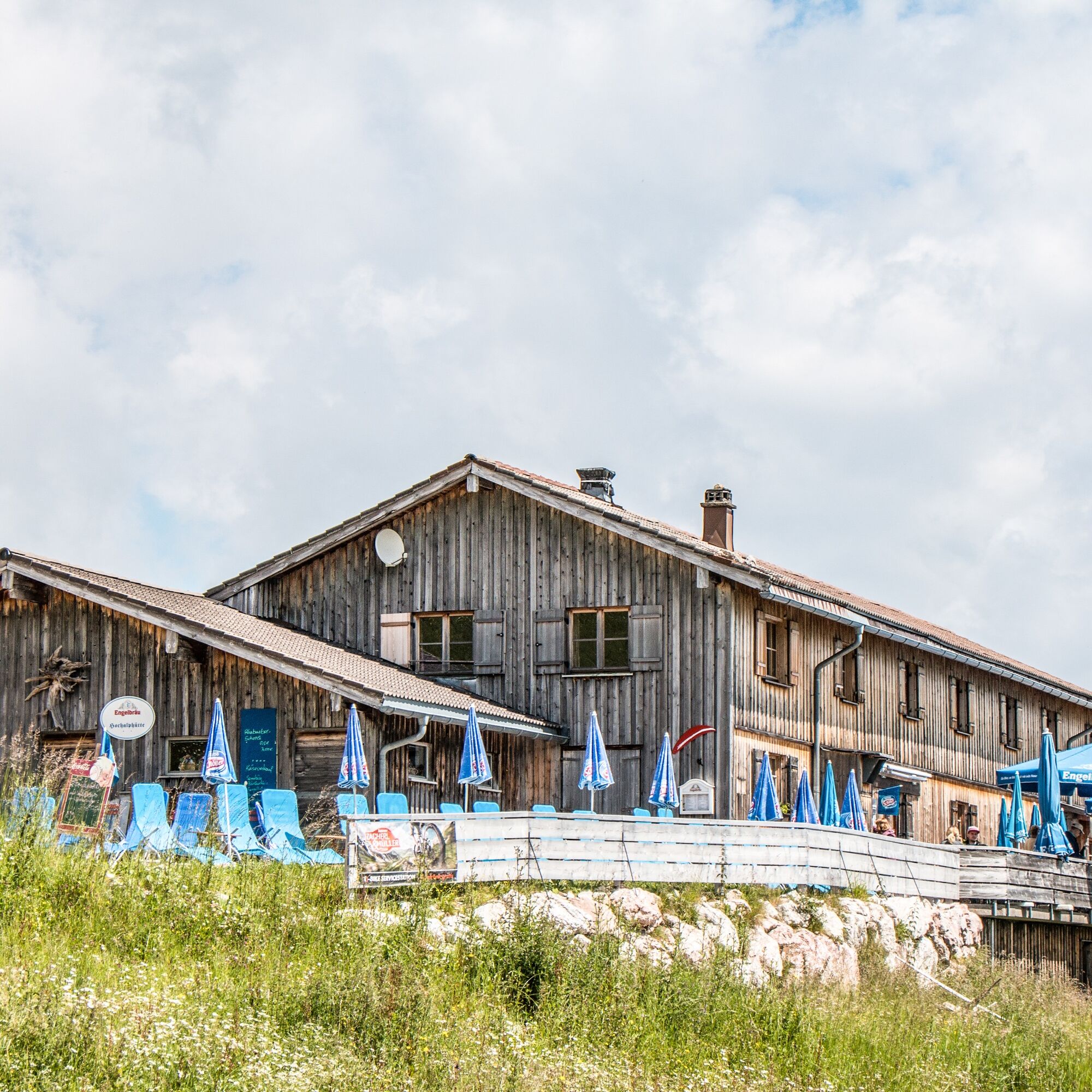
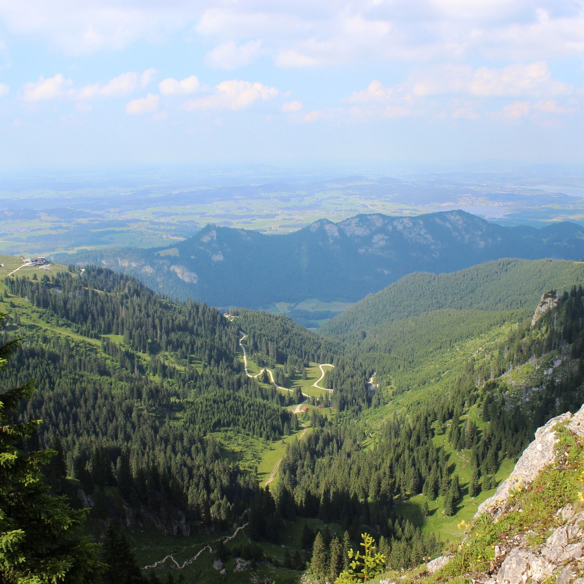
The onward route runs below the distinctive Aggenstein summit (an optional, wire-rope secured summit detour is possible). Now a narrow, steep trail winds downhill (sure-footedness required!) before you run past the Hochalphütte on wider paths back to the Pfronten valley.


Da
Da
Distance is not the decisive factor: Challenging terrain can easily increase the time you usually need per kilometer enormously. Therefore, plan the time generously that you want to be on the way. If you reach halfway, plan to turn back if in doubt. If you get more tired on the route than you thought, turn around.
Don't forget water and provisions: Take provisions and enough water even on shorter runs. For example, energy bars easily fit in any pocket. Drink continuously in small sips even if you are not thirsty. If you are unexpectedly out longer in the forest or on the mountain, sufficient provisions and water make an important difference.
Assess your running technique correctly: If in doubt, start initially in easy terrain and gradually increase to routes through challenging alpine terrain. Small, quick steps are best, as this allows you to react faster and keep your balance. Good shoes are important. Trail running shoes with good tread grip the terrain better and protect your feet from roots or stones. If necessary, get advice from an expert at a trail running specialty store to find the right shoes.
Use the right equipment: Temperatures can vary greatly, especially in the mountains, and thunderstorms can roll in faster than you think. Even in summer temperatures, warm spare clothing for lower temperatures in extreme cases can be helpful and make unforeseen situations less unpleasant. And good sun protection should of course always be in mind.
Better safe than sorry: Inform someone about your planned route and when you should be back. Always take a mobile phone (with a charged battery) and a whistle. If you try a new route, take a close look beforehand at the course as well as the altitude and technical demands of the route.
T3
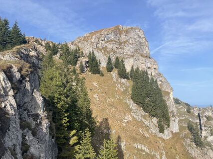
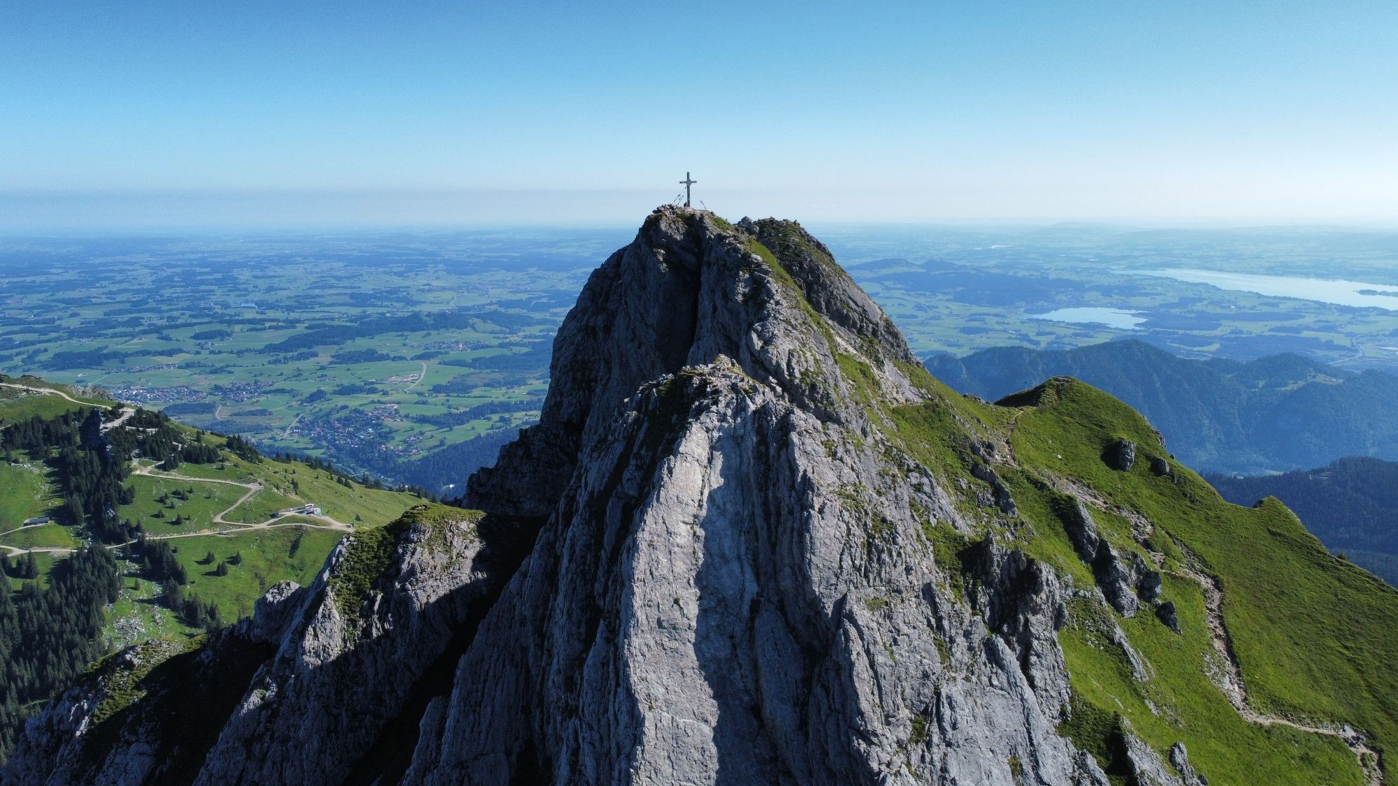
Those who are not afraid of heights can plan a detour to the summit of the Aggenstein. The path to the summit cross is secured with wire ropes and requires sure-footedness!
Spletne kamere s turneje
-
Skizentrum Steinach / Pfronten
-
Kesselmoos und Hochalpbahn
-
Pfronten-Halden / Hotel Zugspitzblick
-
Pfronten-Kreuzegg
-
Burghotel Falkenstein im Allgäu
-
Grän - Almdorf Tirol
-
Ostlerhütte
-
Grän - Hotel Bergblick
-
Füssener Jöchle Bergstation
-
Füssener Jöchle Bergstation
-
Füssen Appartementhotel Seespitz
-
Breitenbergbahn - Pfronten
-
Pfronten - Skizentrum
Priljubljeni izleti v okolici
-
4.2
Three-lake route (awarded the Tyrolean Hiking Trail Seal of Quality)
srednjaPohodništvo 14.8 km -
4.2
Höllschlucht hike » Water & Forest
srednjaPohodništvo 7.38 km -
4.6
3-Seen Rundtour Vilsalpsee / Schrecksee / Traualpsee
srednjaPohodništvo 17.1 km -
4.8
3-Gipfel-Tour
srednjaPohodništvo 11.2 km -
4.5
Mountain hike to the Aggenstein
težkoPohodništvo 15.3 km -
4.0
Od Tannheima do Sulzspitze
srednjaPohodništvo 15.6 km -
4.8
Around Weißensee
svetlobaPohodništvo 6.12 km -
5.0
Hiking tour to Breitenberg
težkoPohodništvo 15.6 km -
5.0
Gemeinde Grän, Tirol/Österreich Aggenstein Rundtour über Höhenweg
srednjaPohodništvo 9.84 km -
4.8
Do koče Bad Kissinger Hütte po poti Gräner Höhenweg
srednjaPohodništvo 13.0 km
Pohodništvo in sledenje


Ne zamudite ponudb in navdiha za naslednje počitnice
Vaš e-poštni naslov je bil dodan na poštni seznam.