







Trail running: Saloberkamm and Zirmgrat route
Stopnja težavnosti: T2


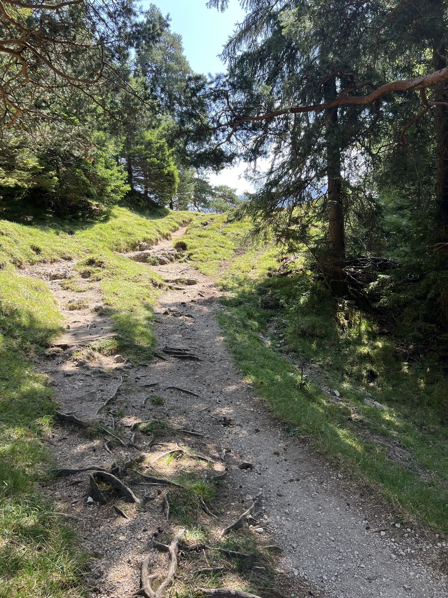
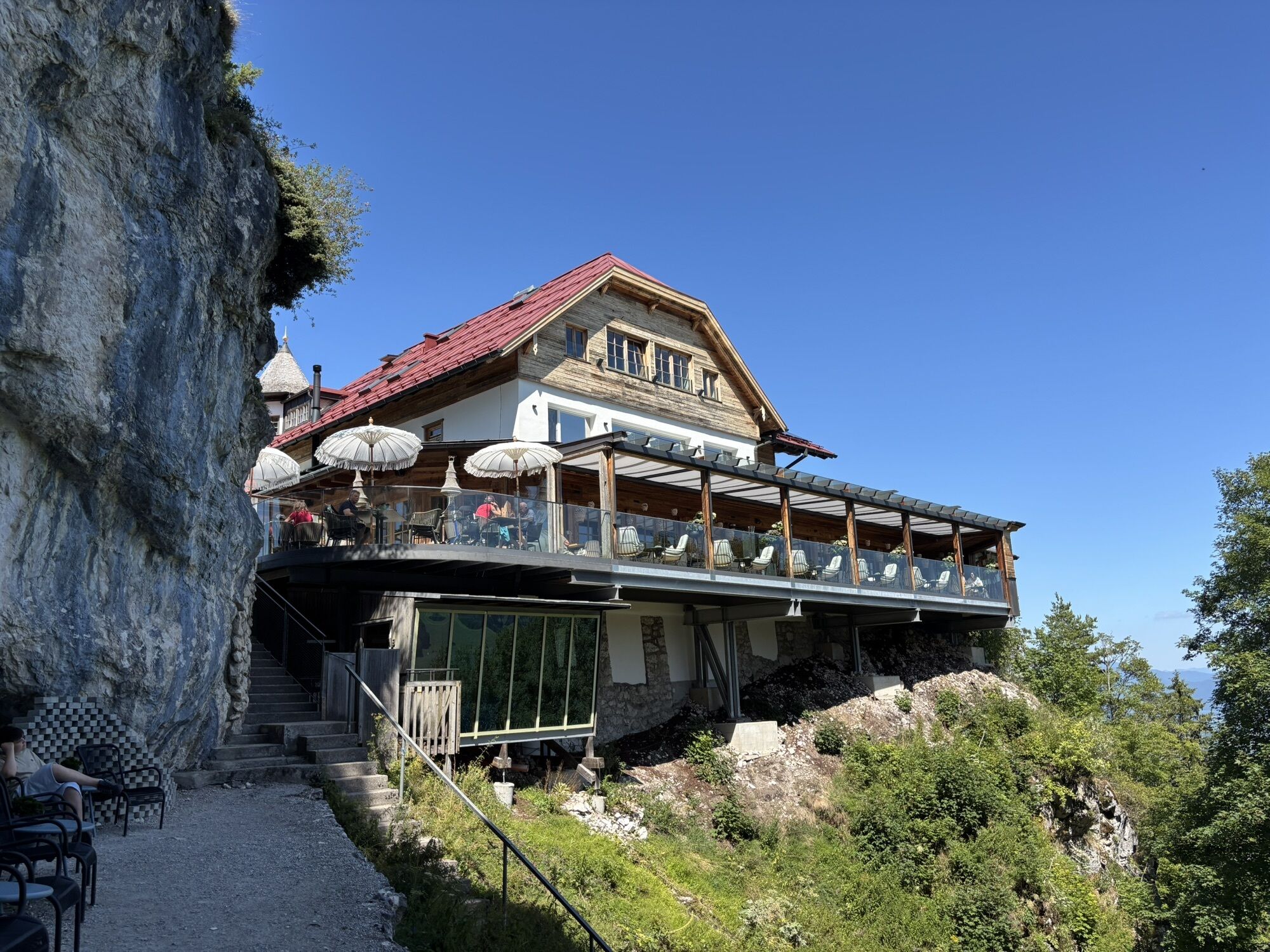
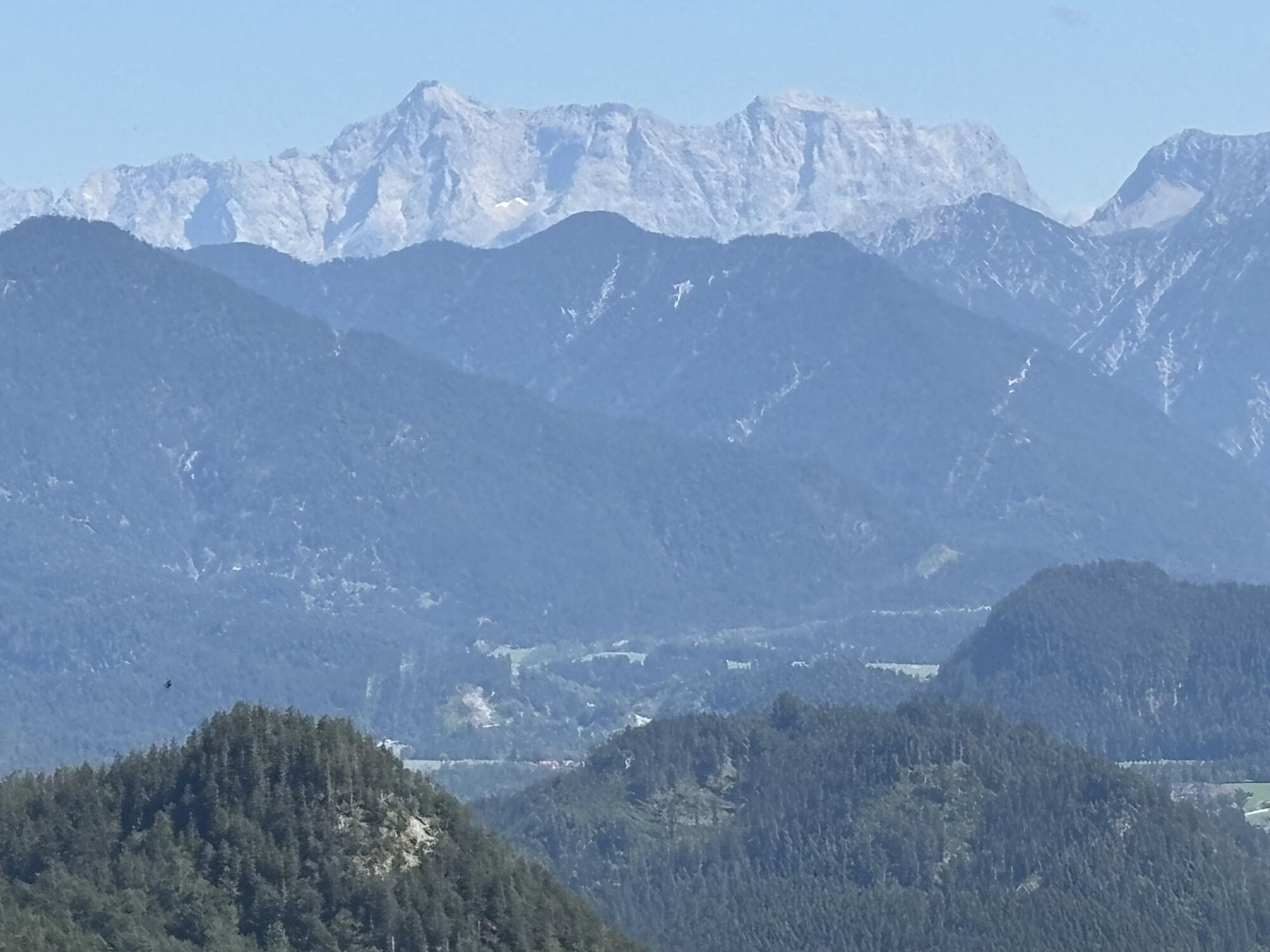
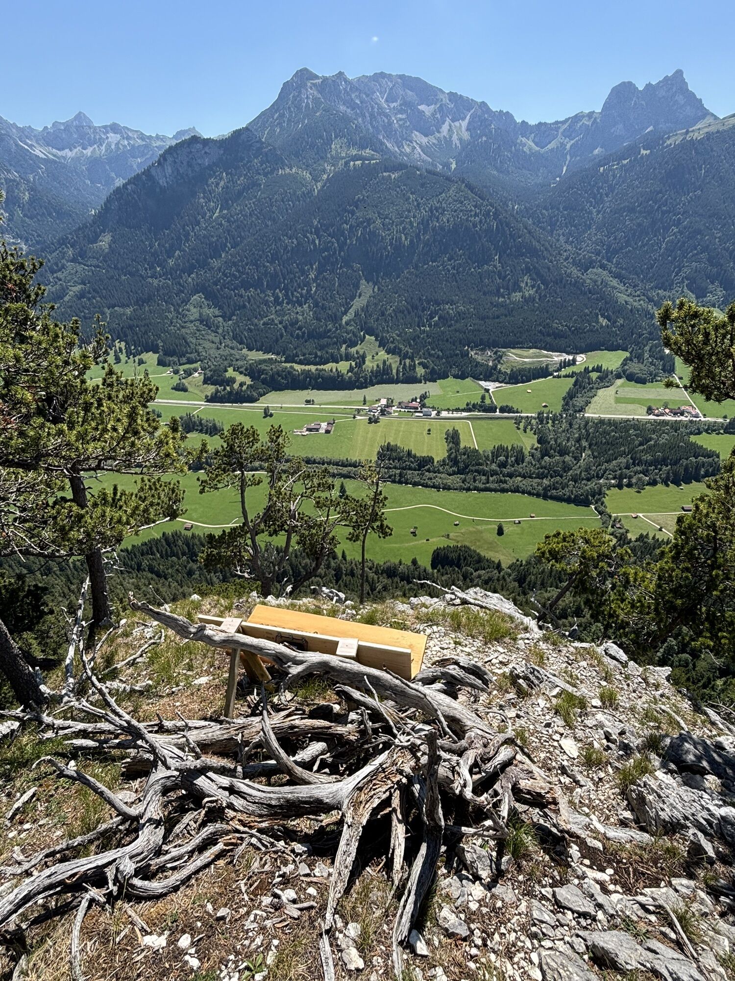
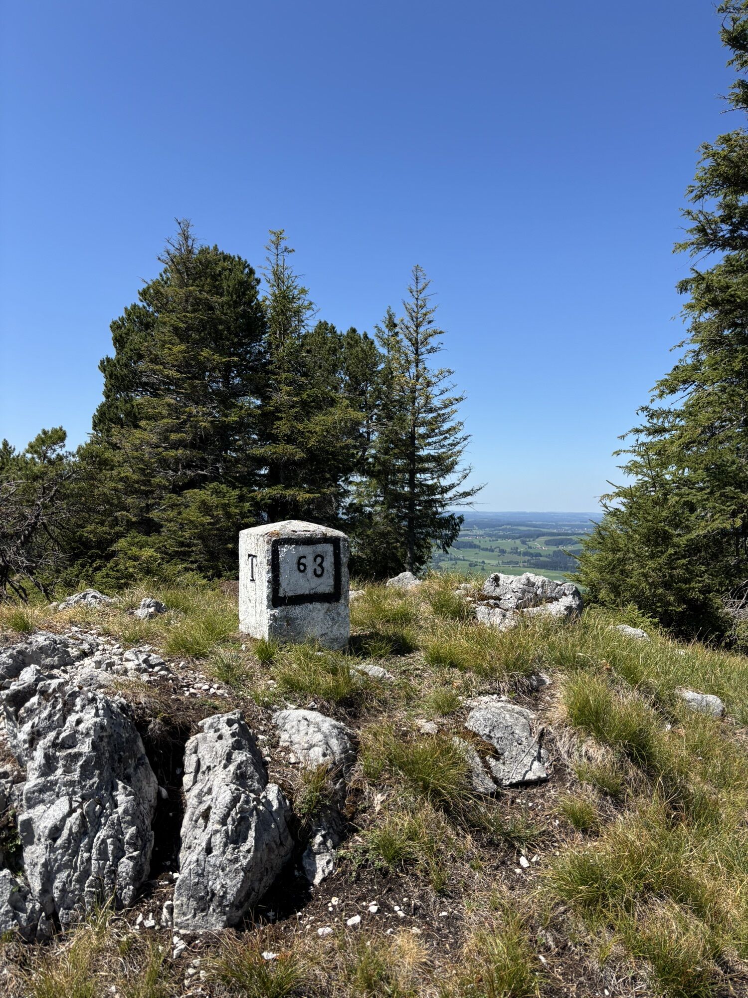
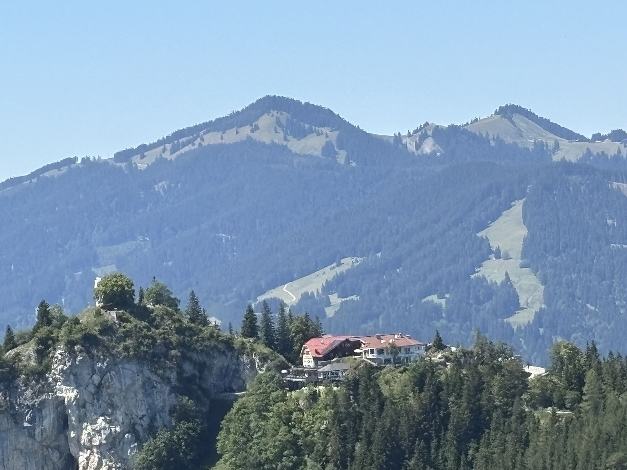
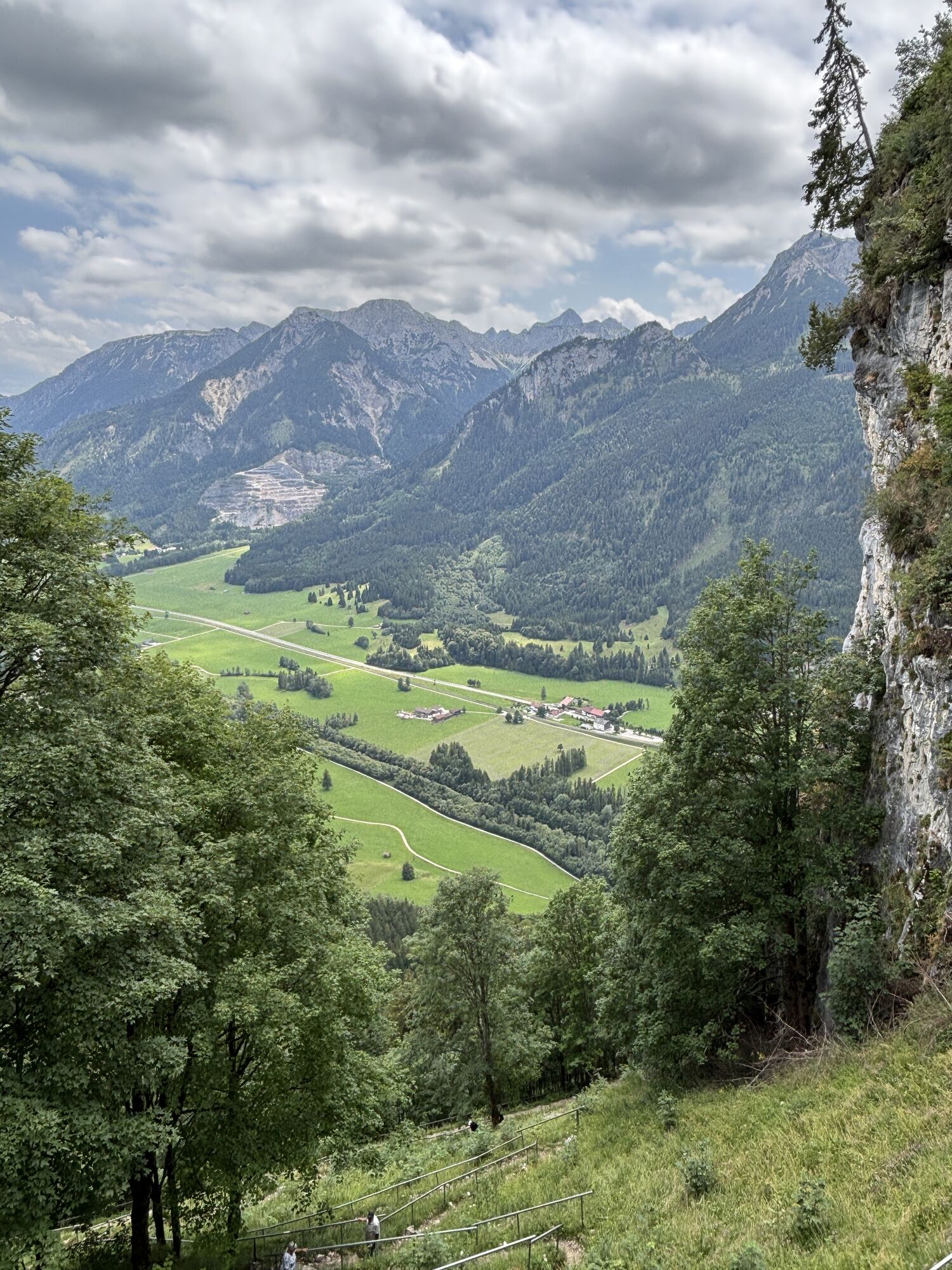
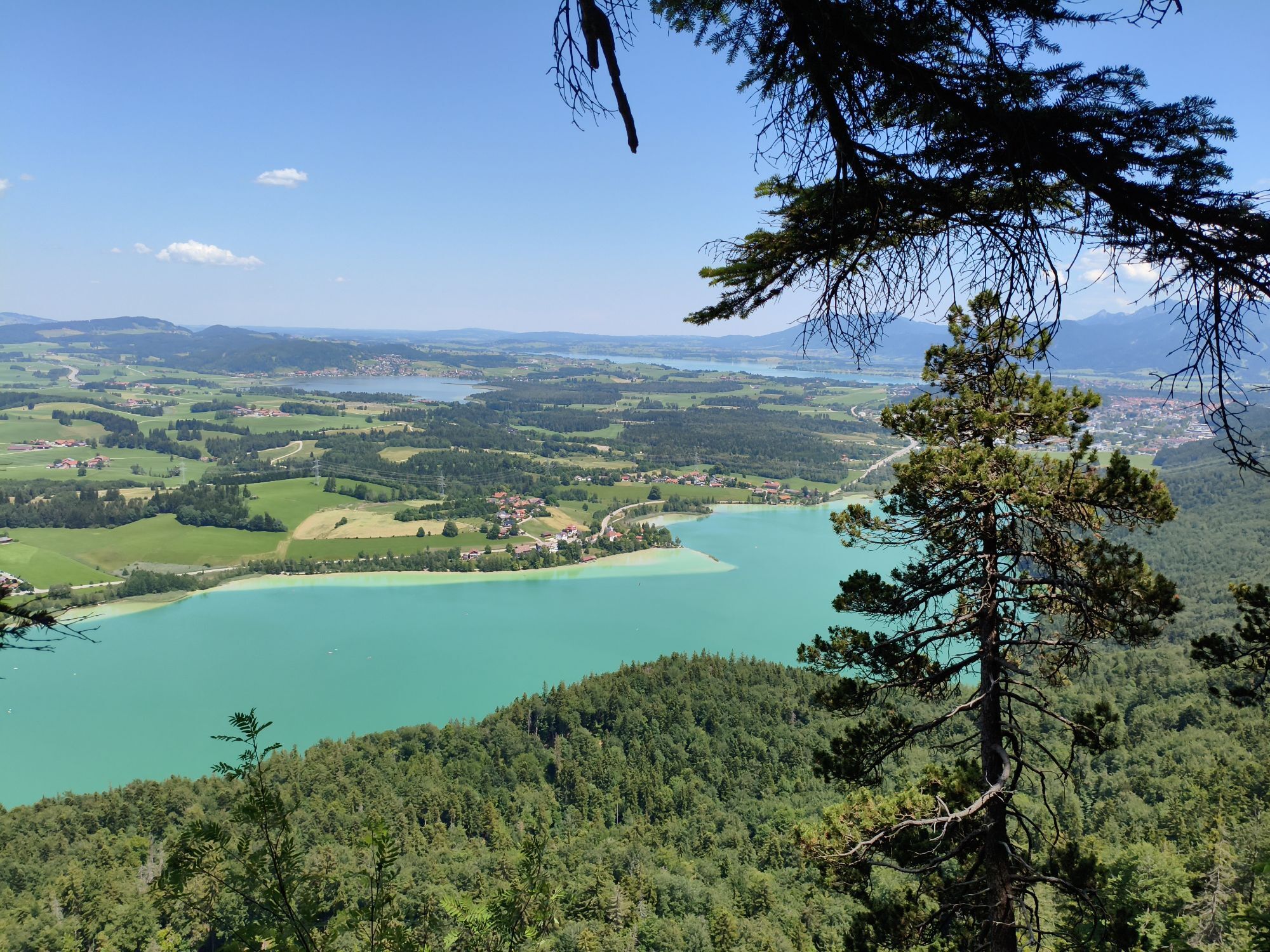

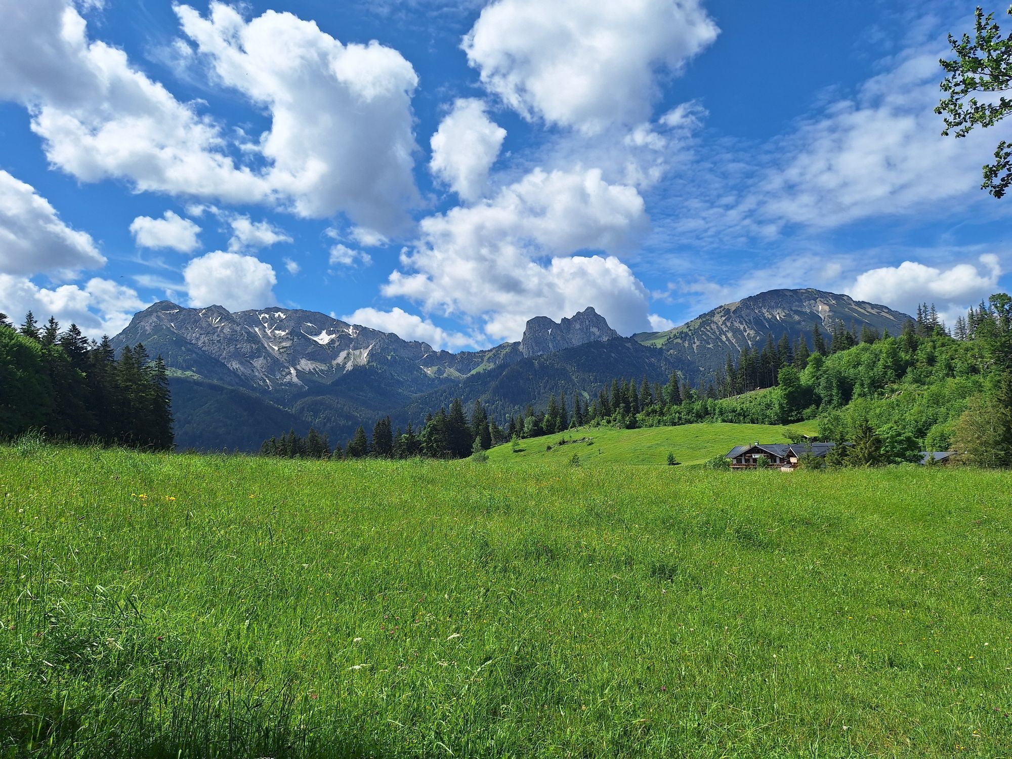
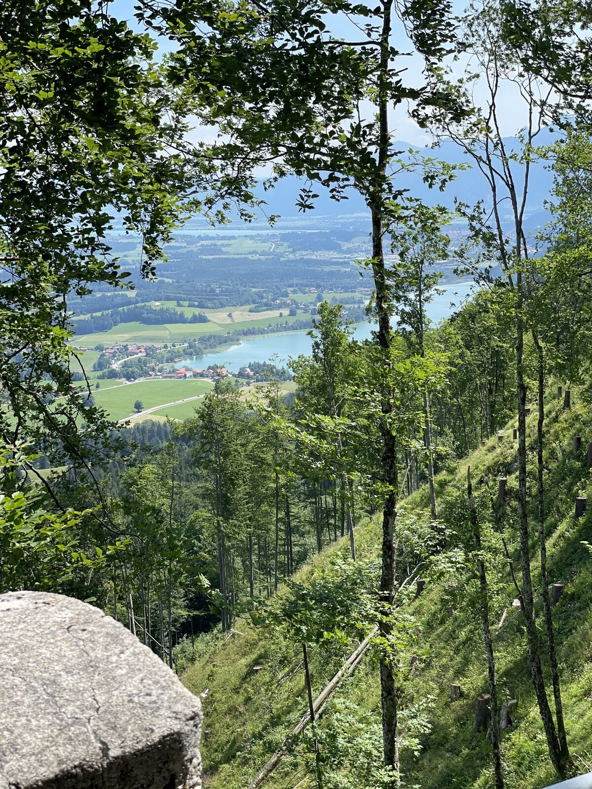
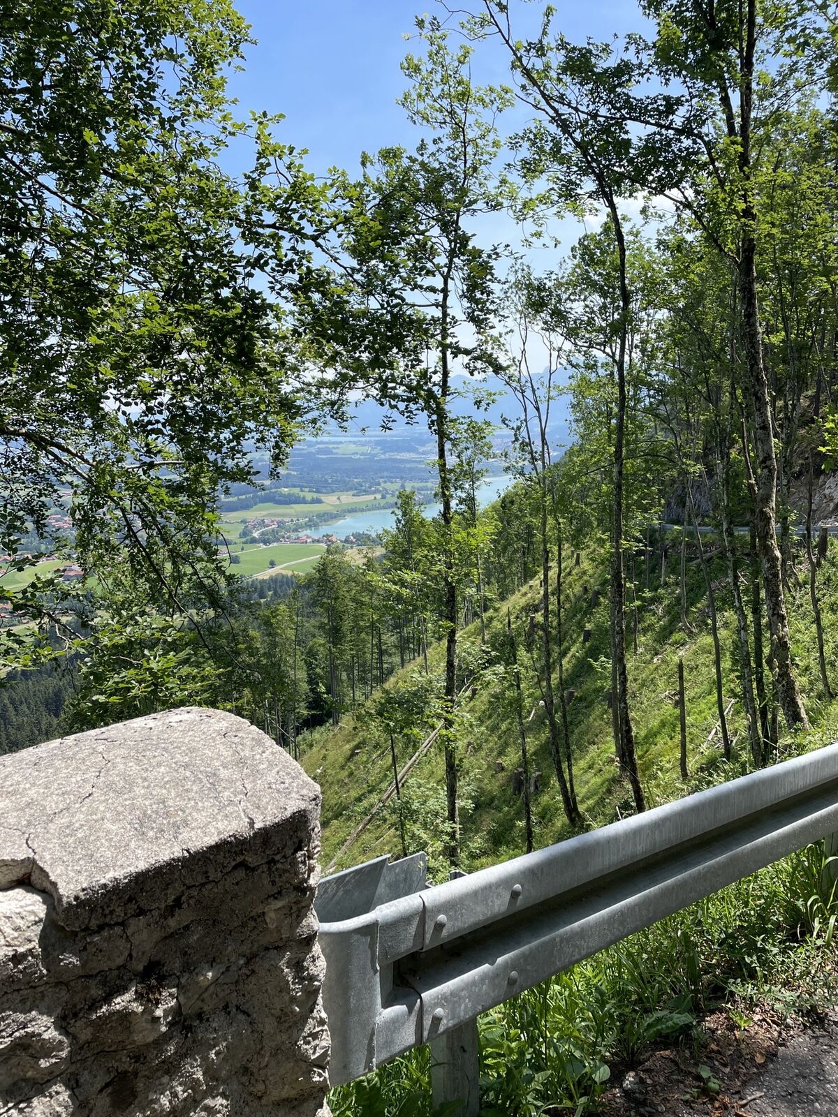
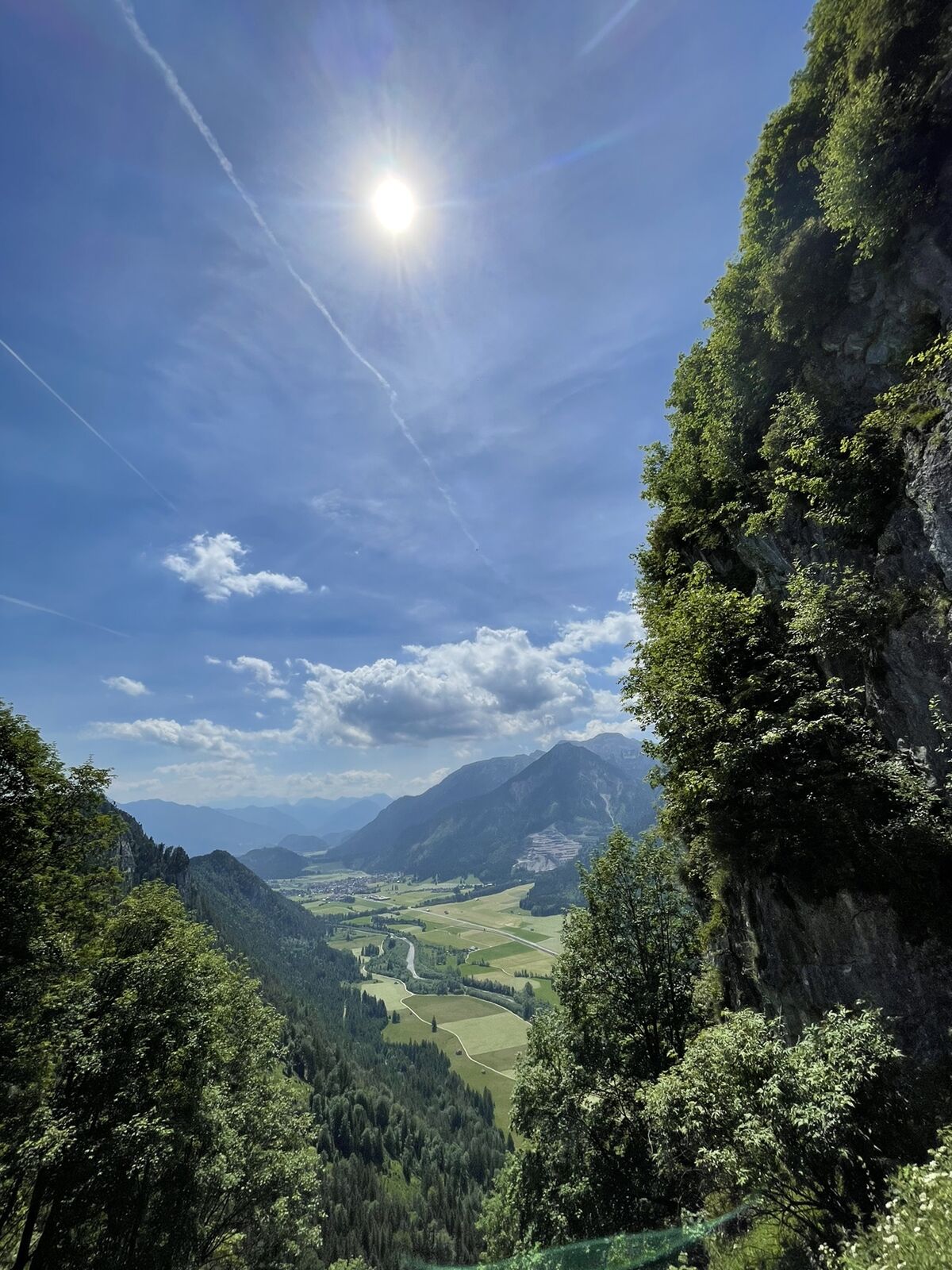
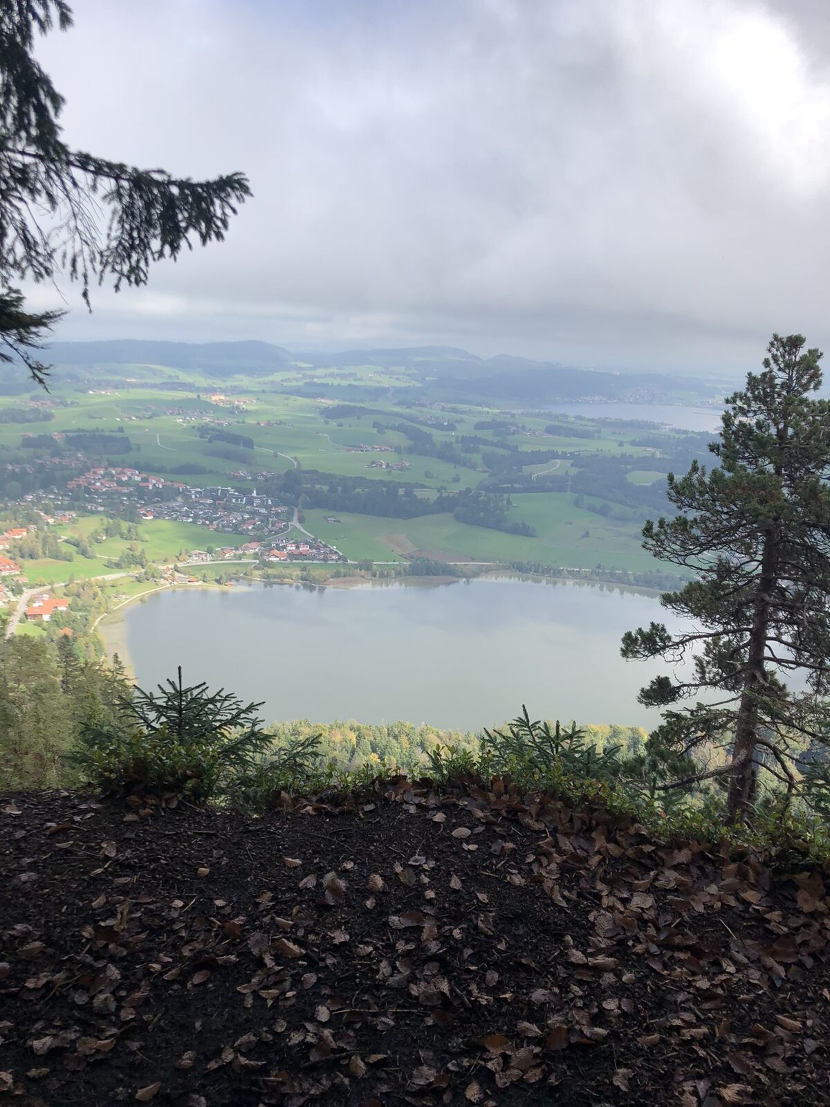
This trail running loop offers an intense nature experience over 13.1 km length with a high proportion of trails: Around 9.5 km lead over varied, narrow paths. From the starting point in Pfronten-Steinach,...
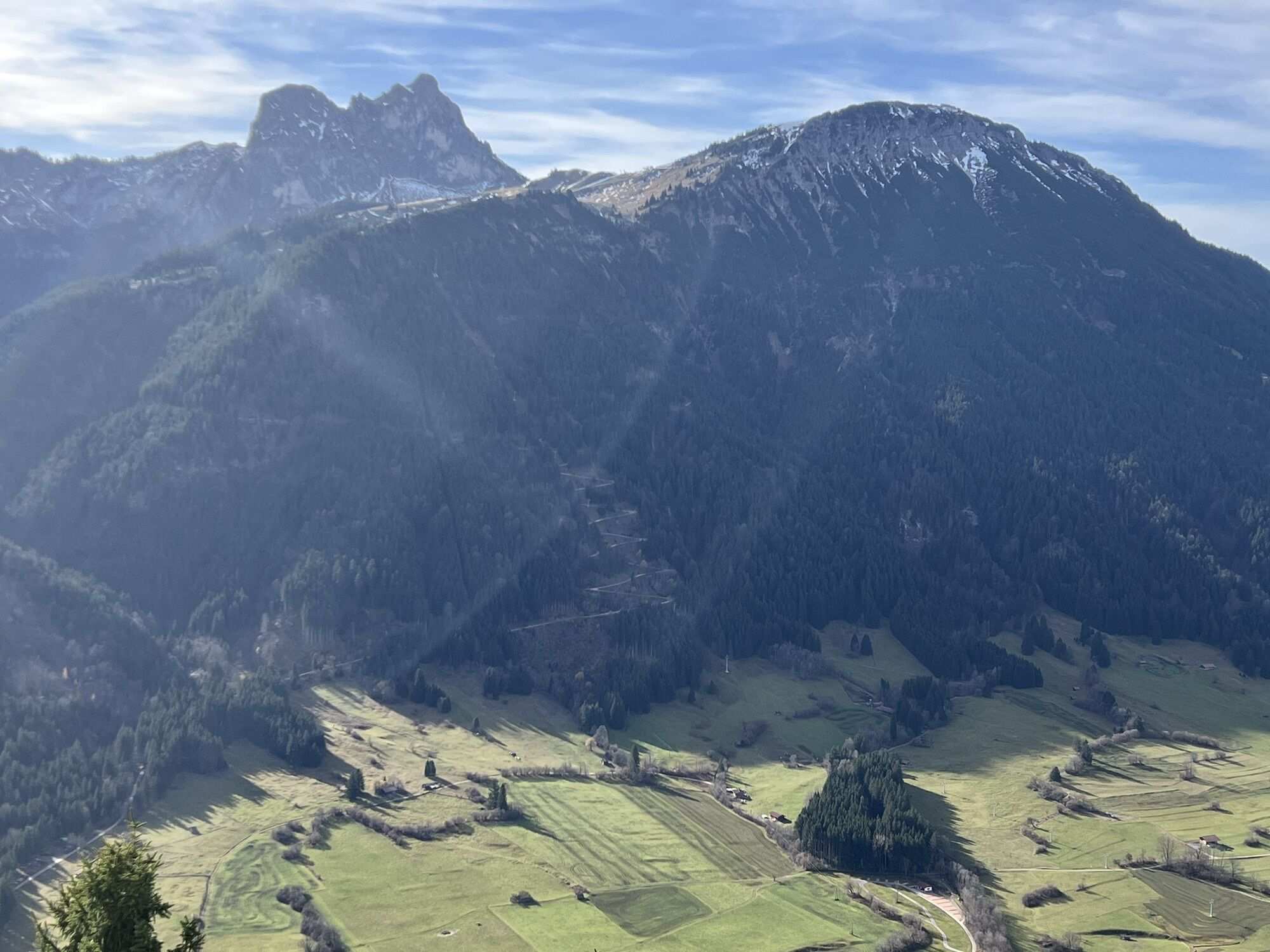
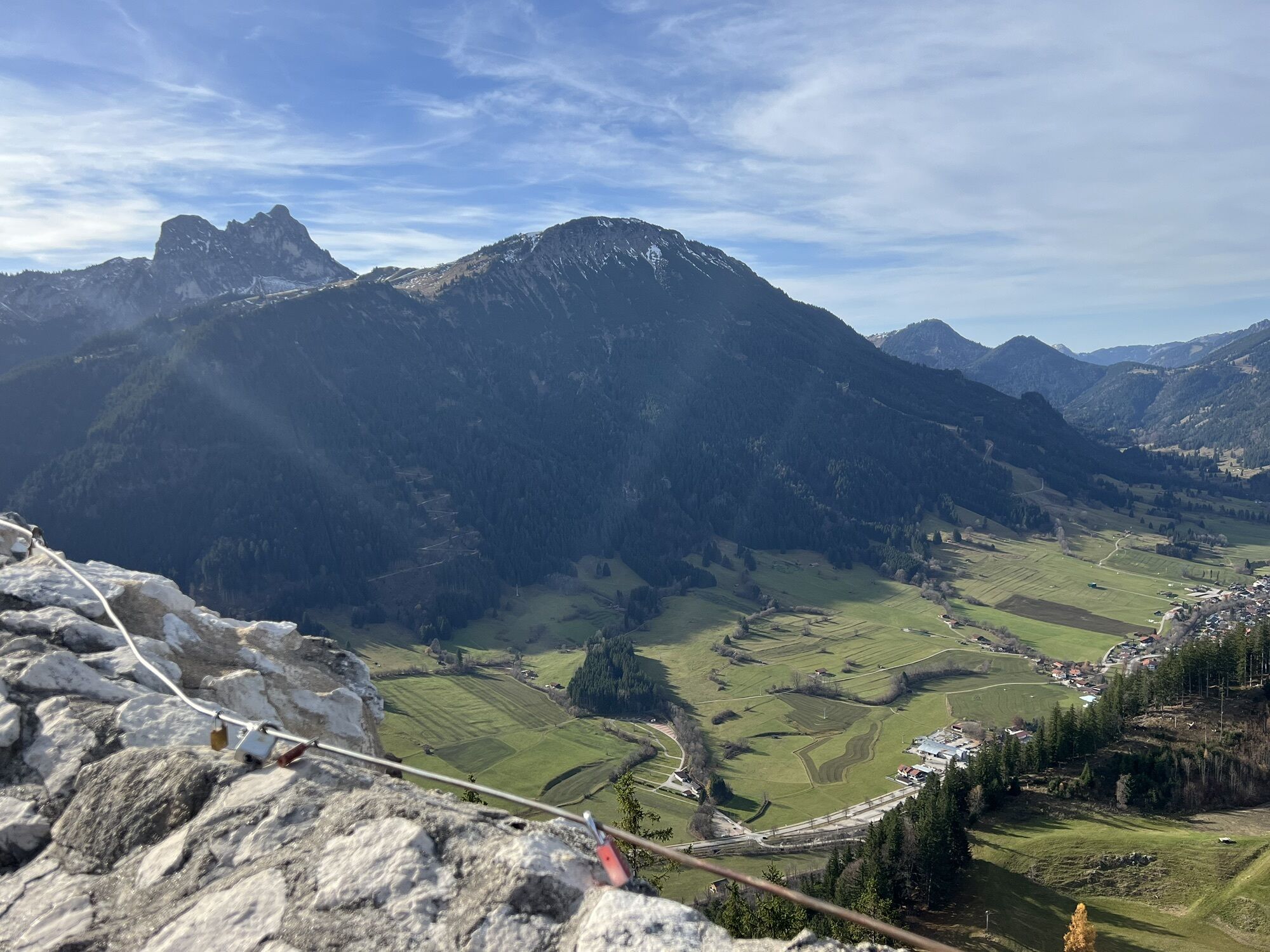
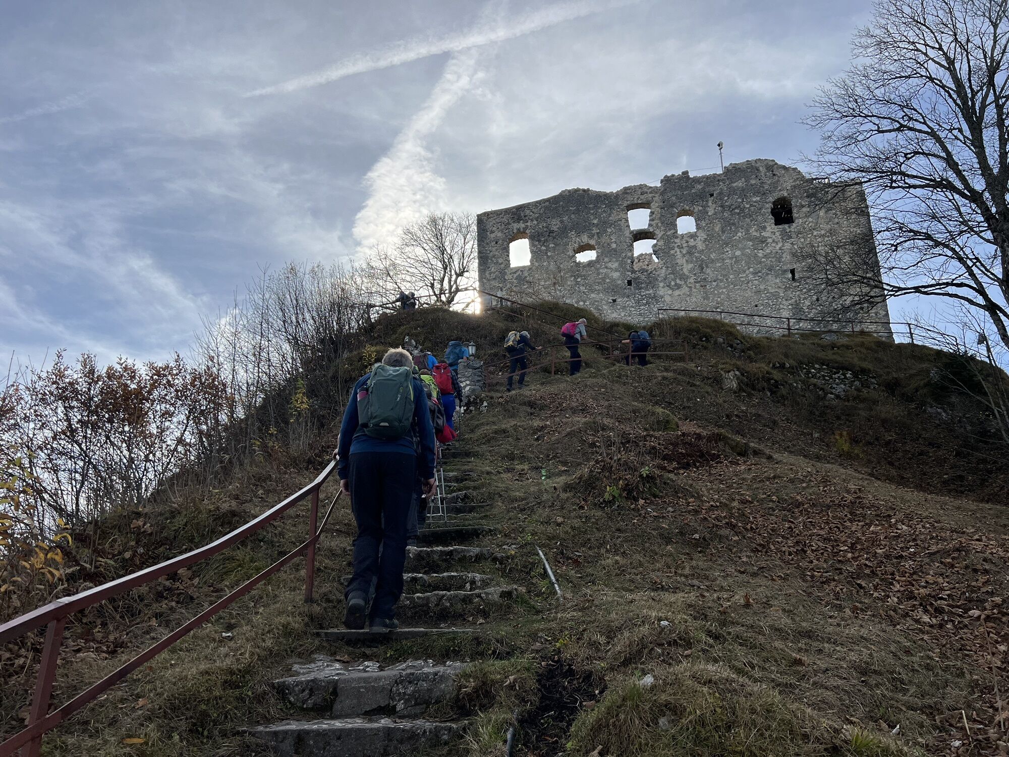
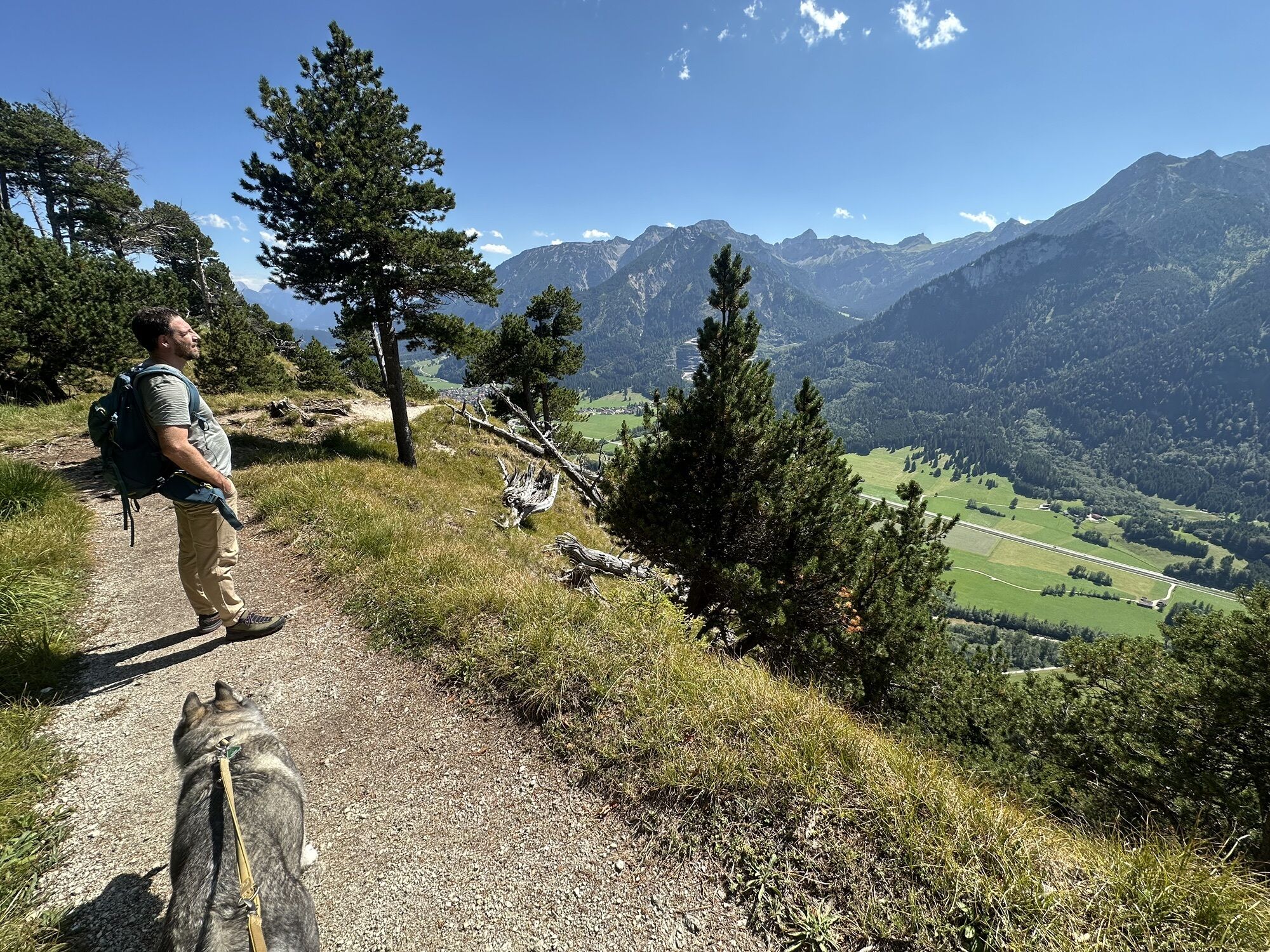
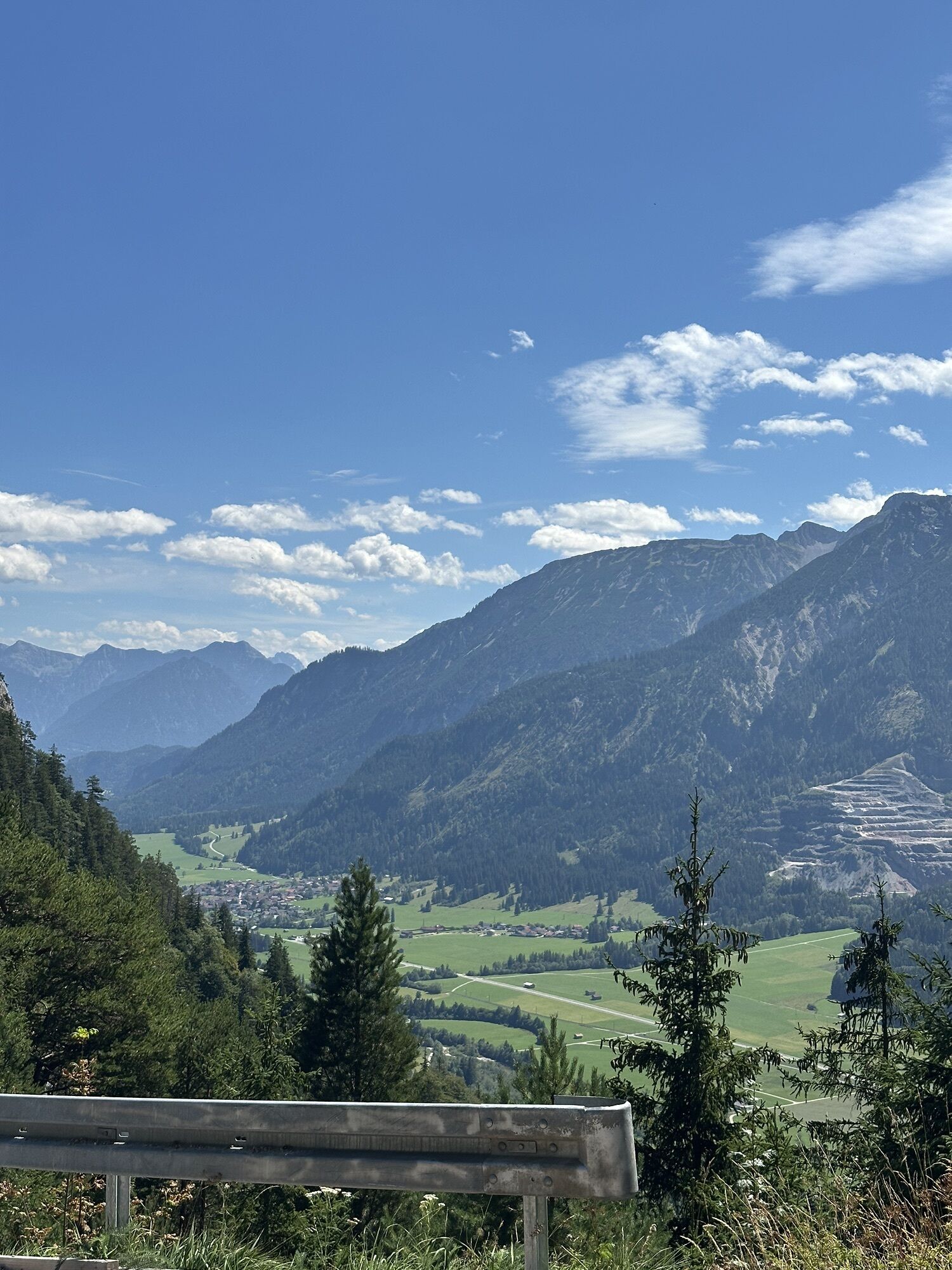
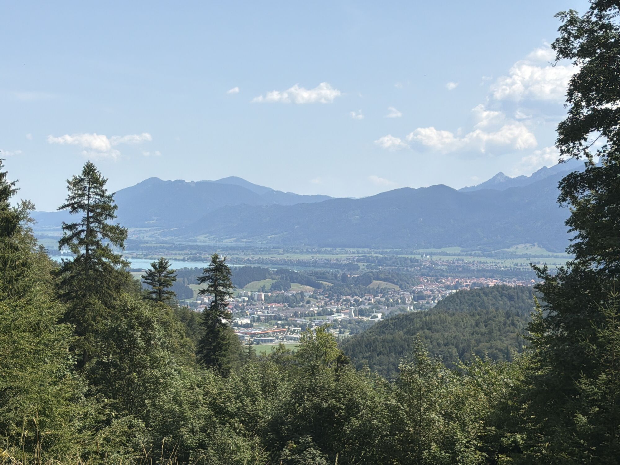
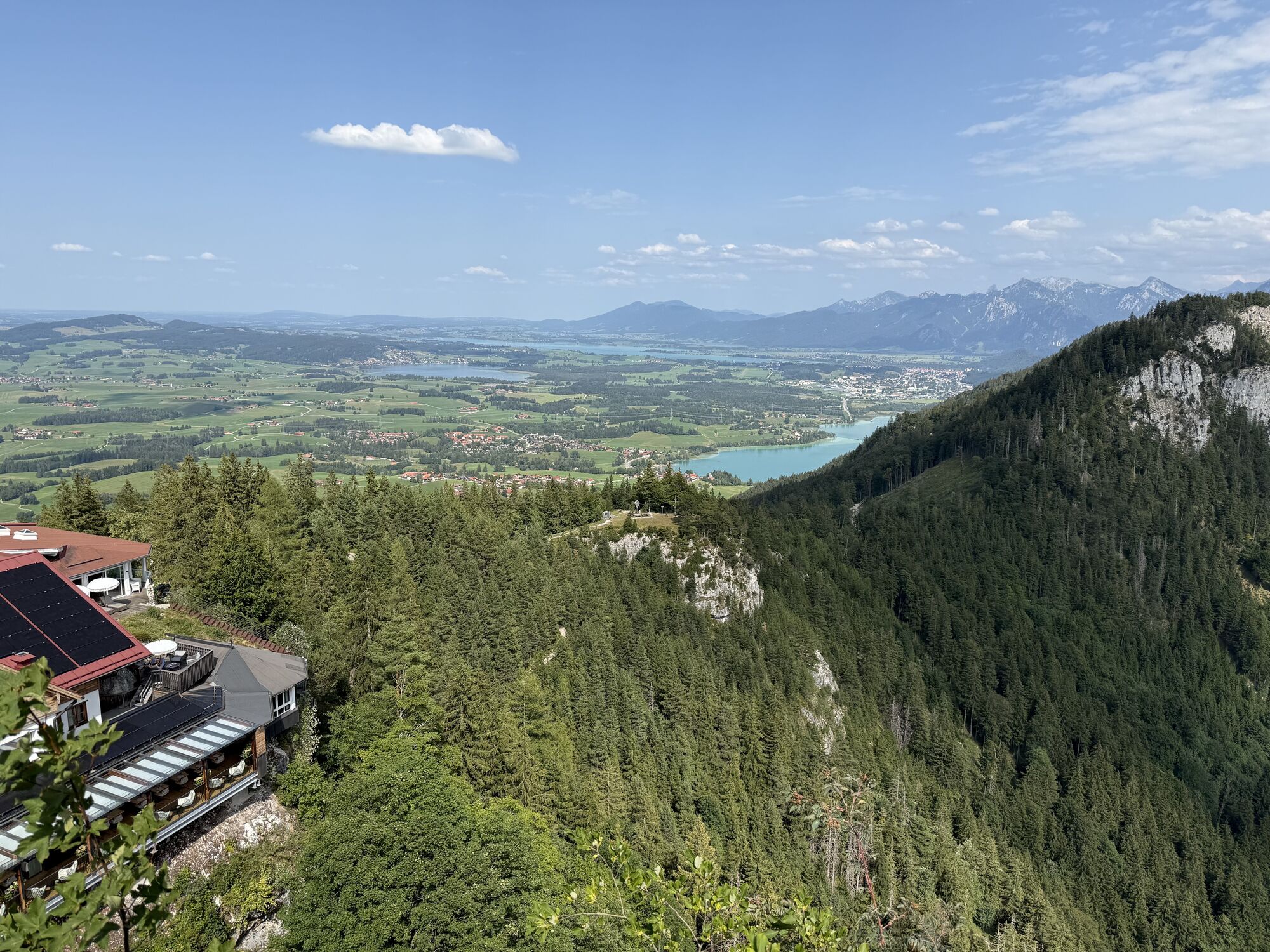
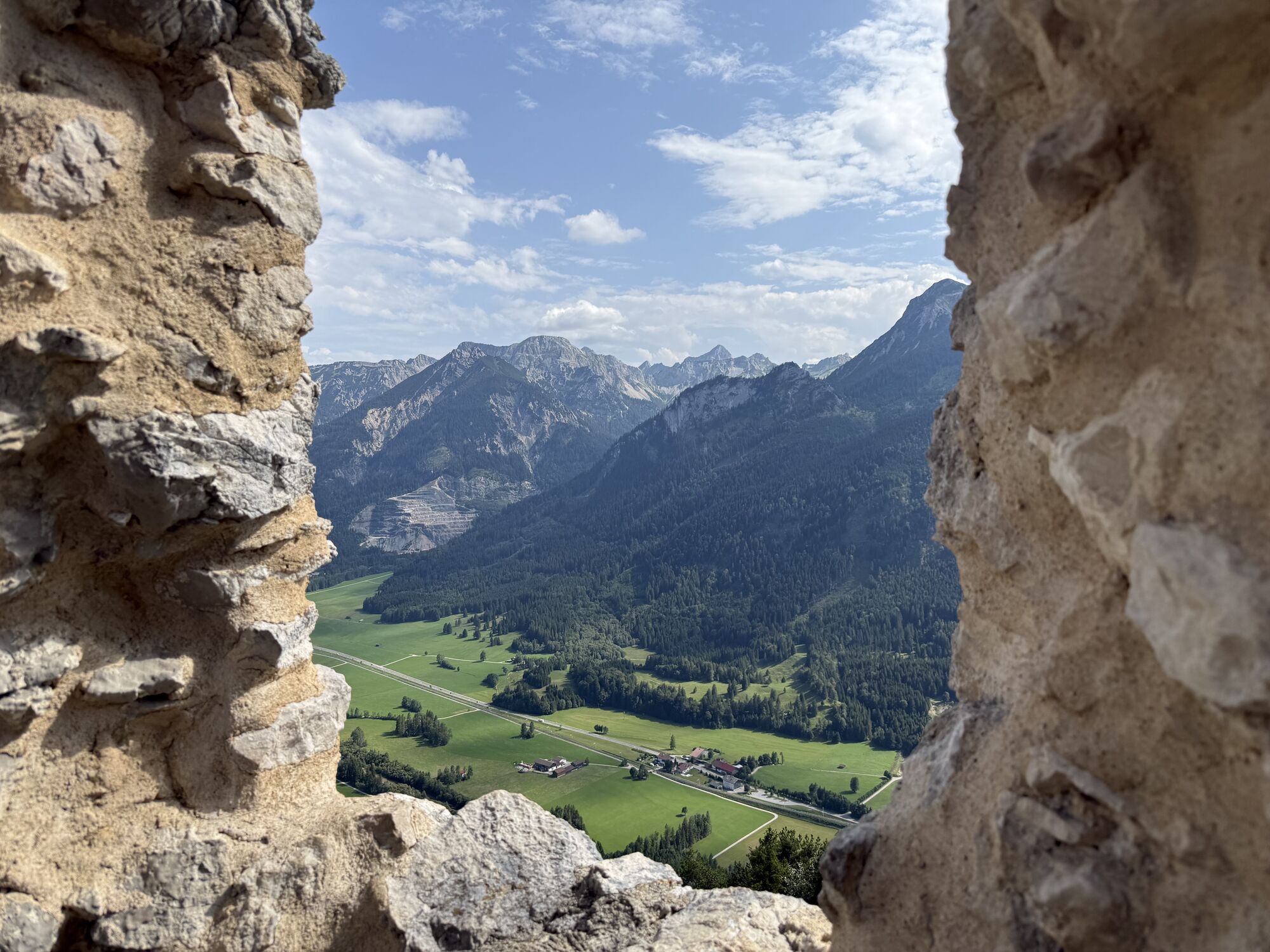
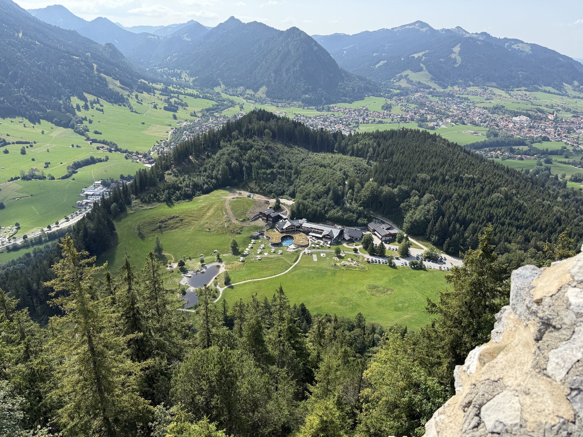
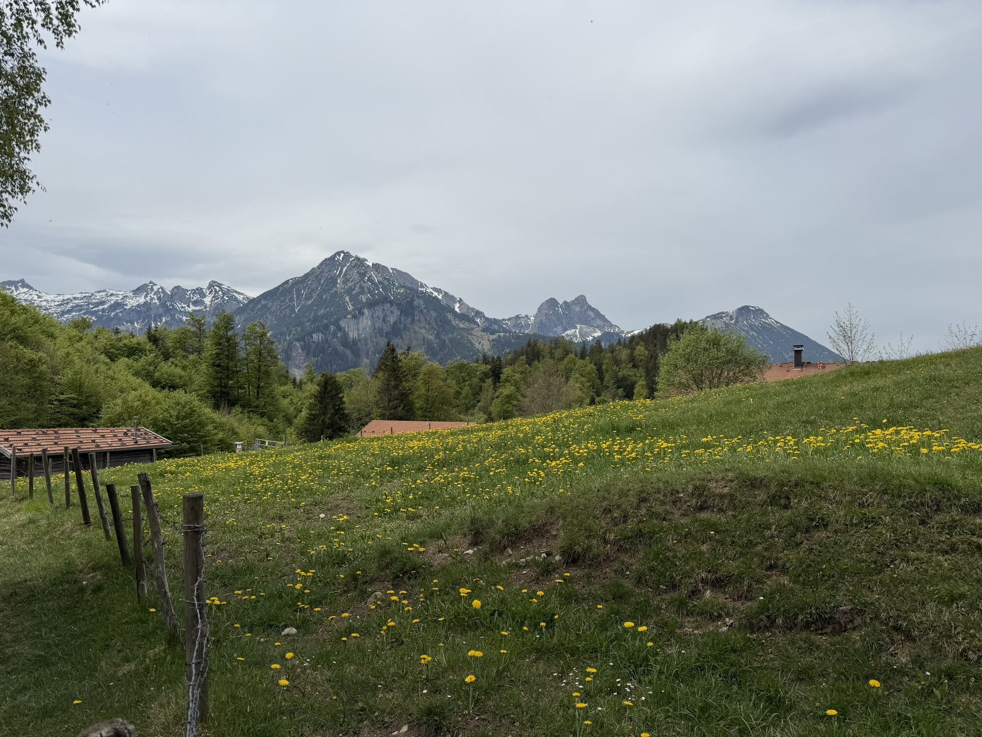
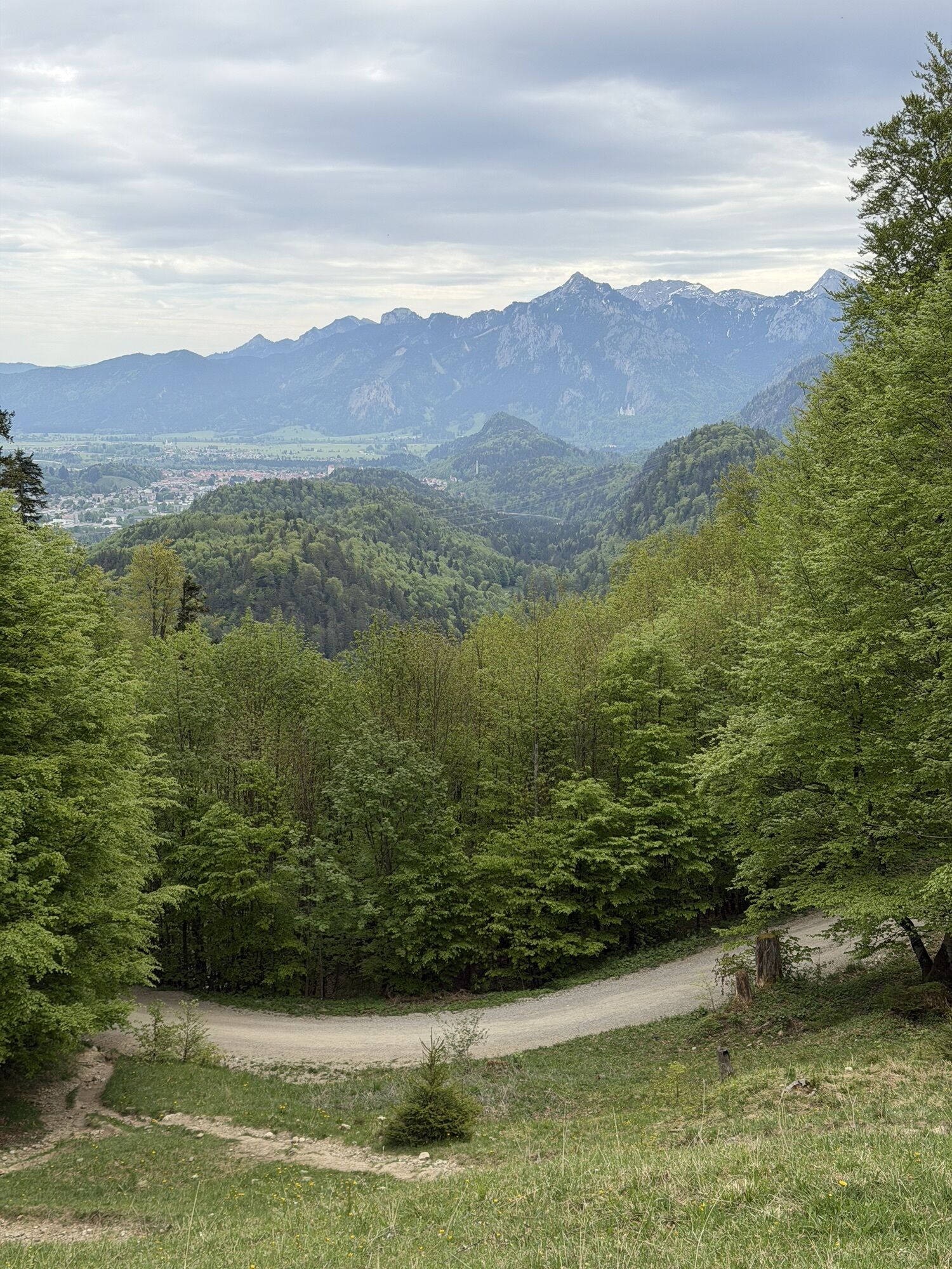
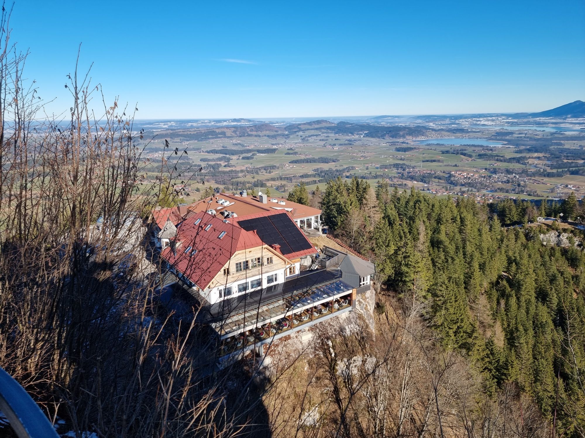
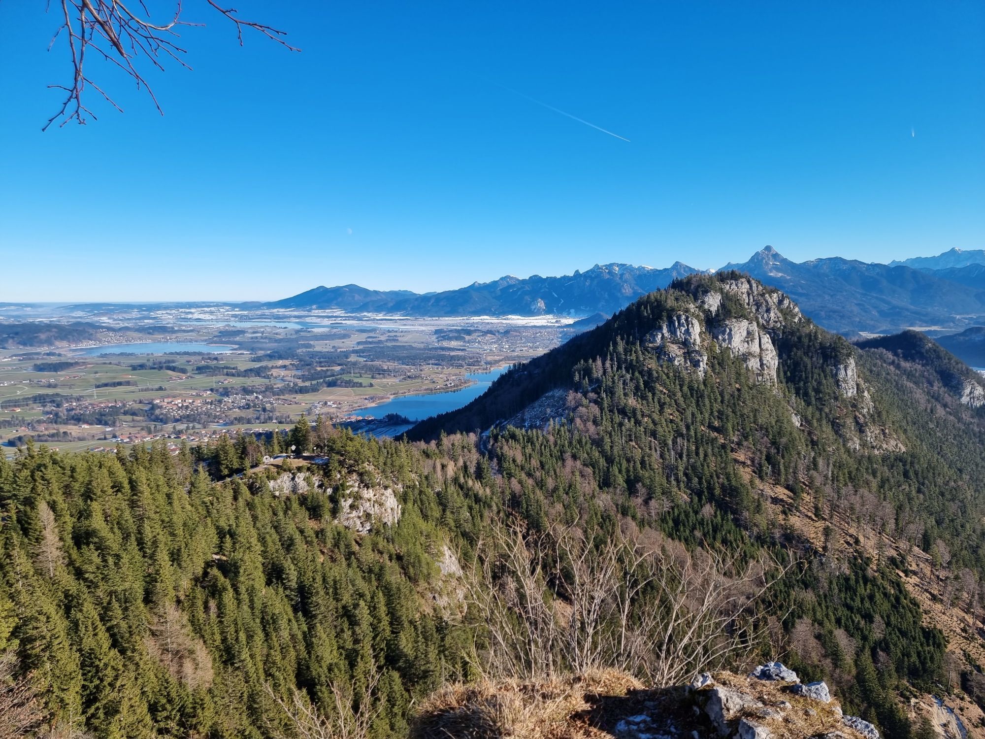
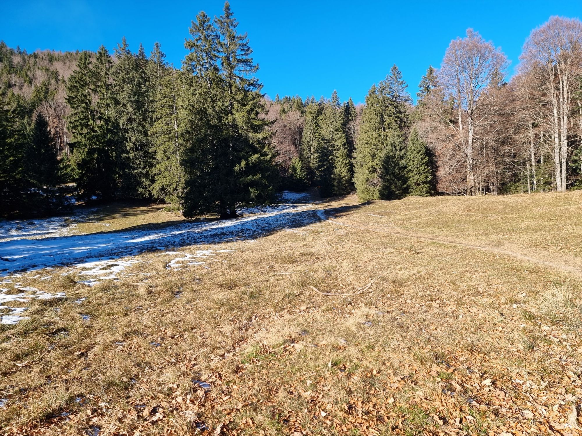
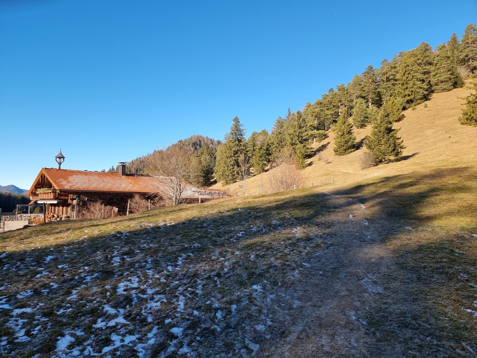
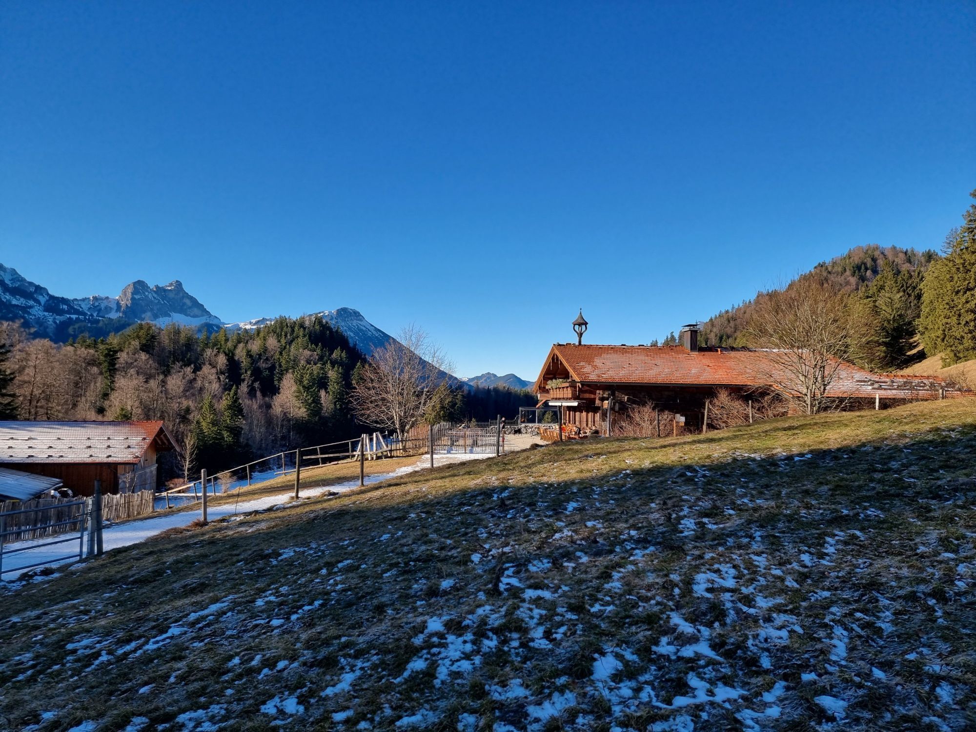
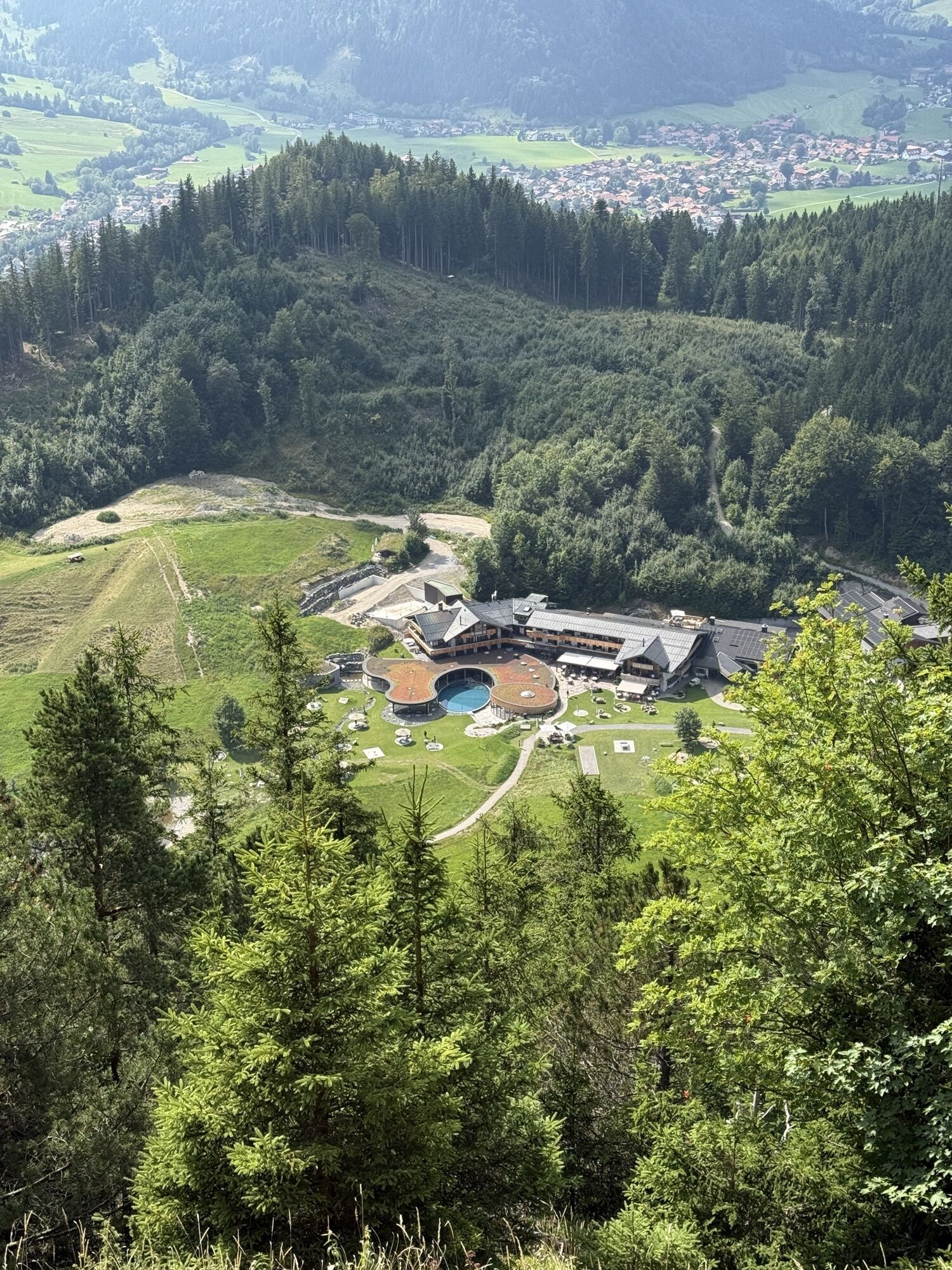
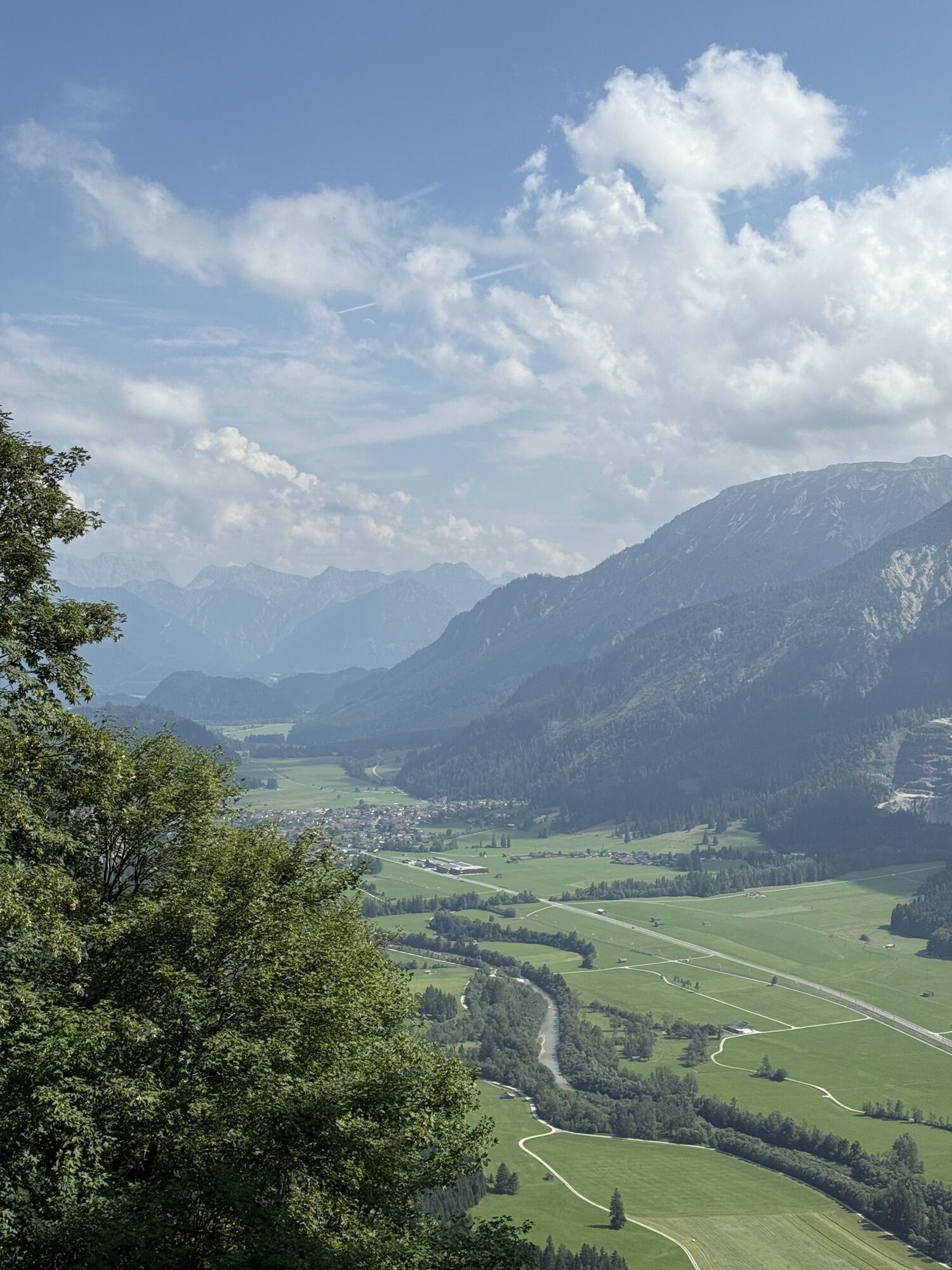
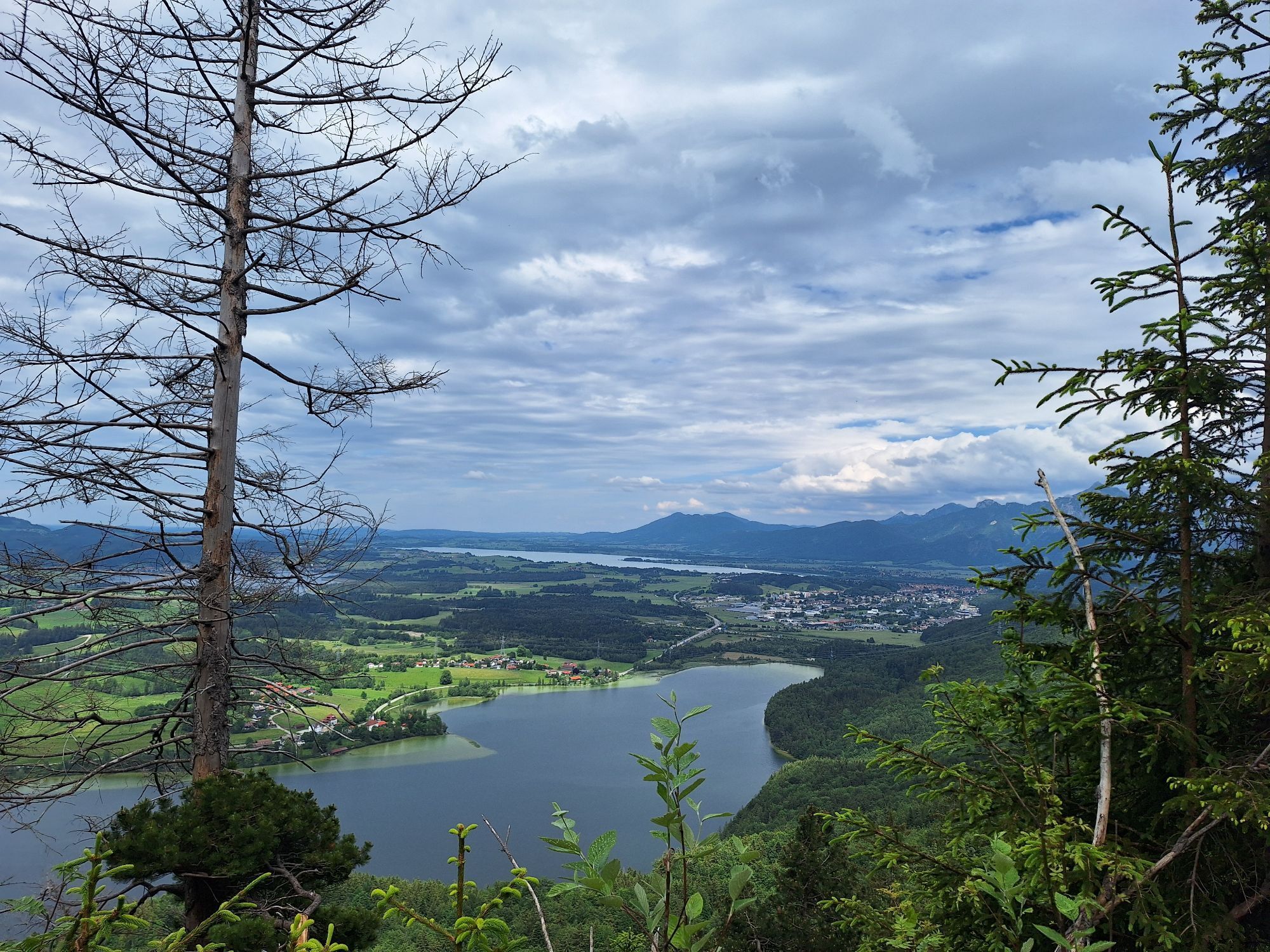
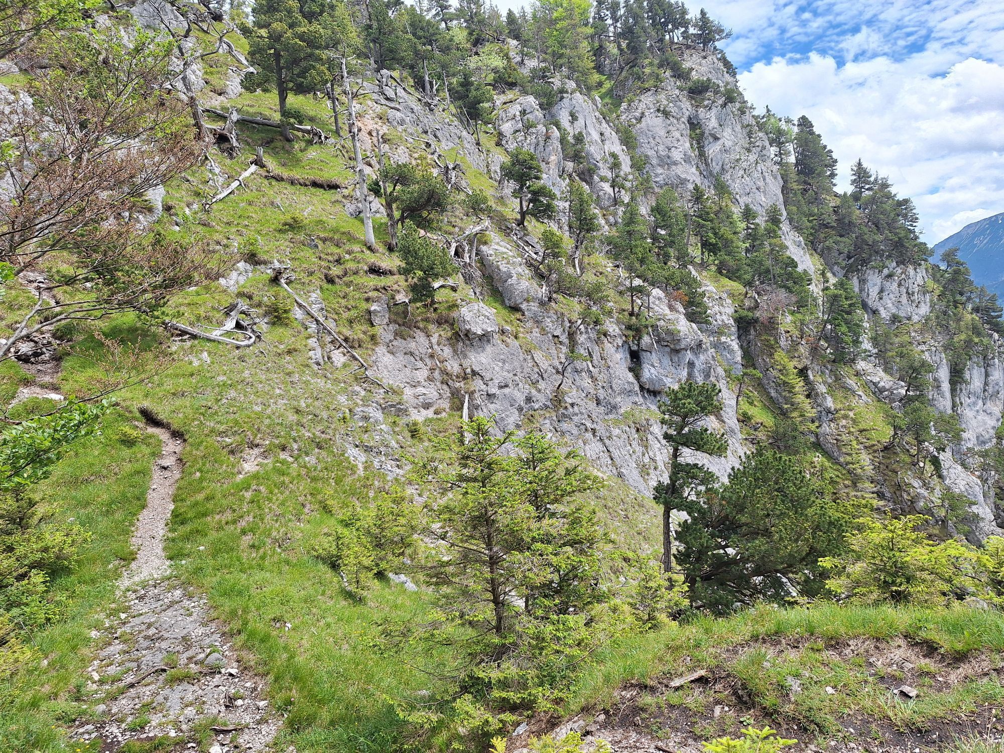
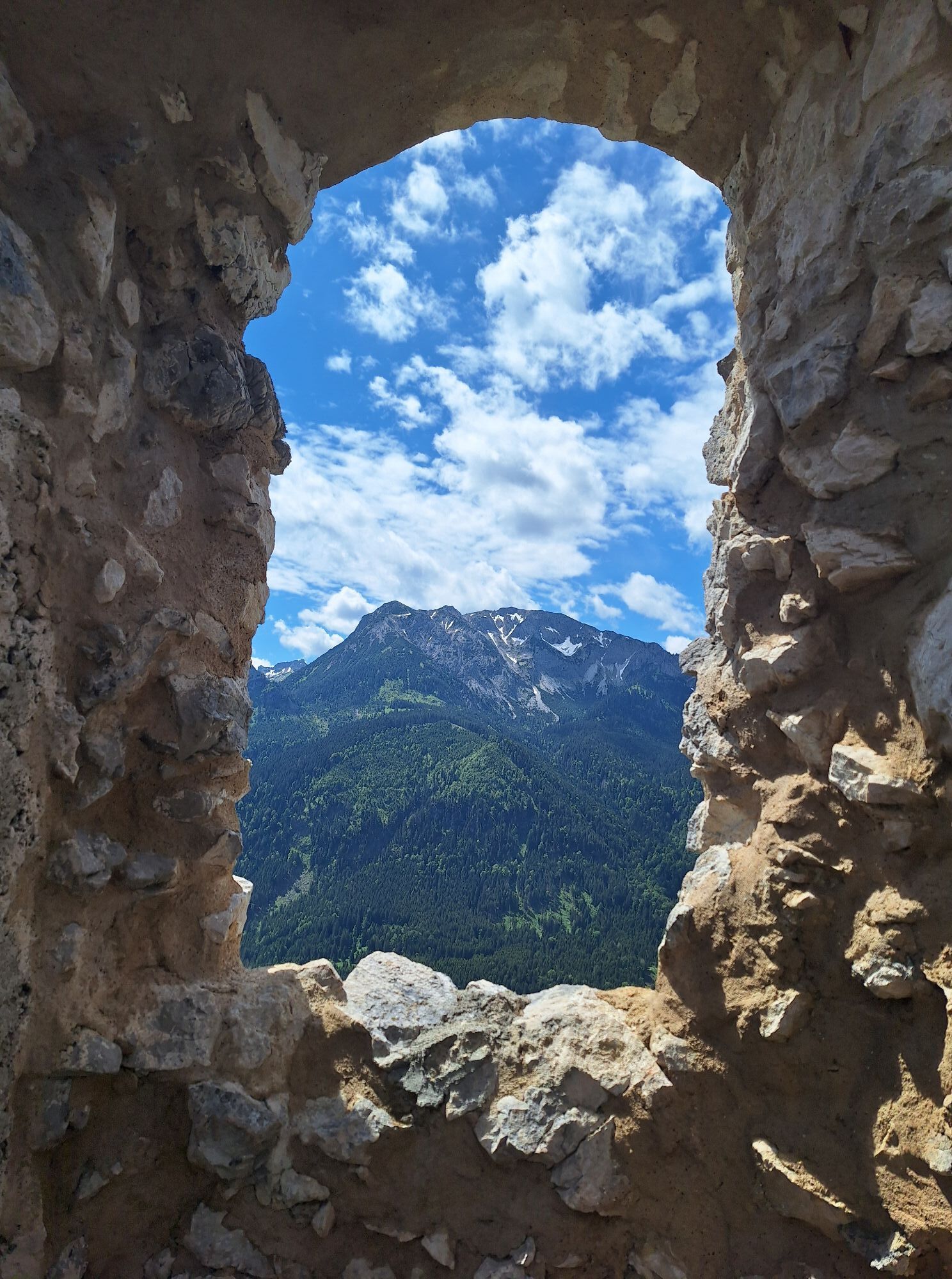
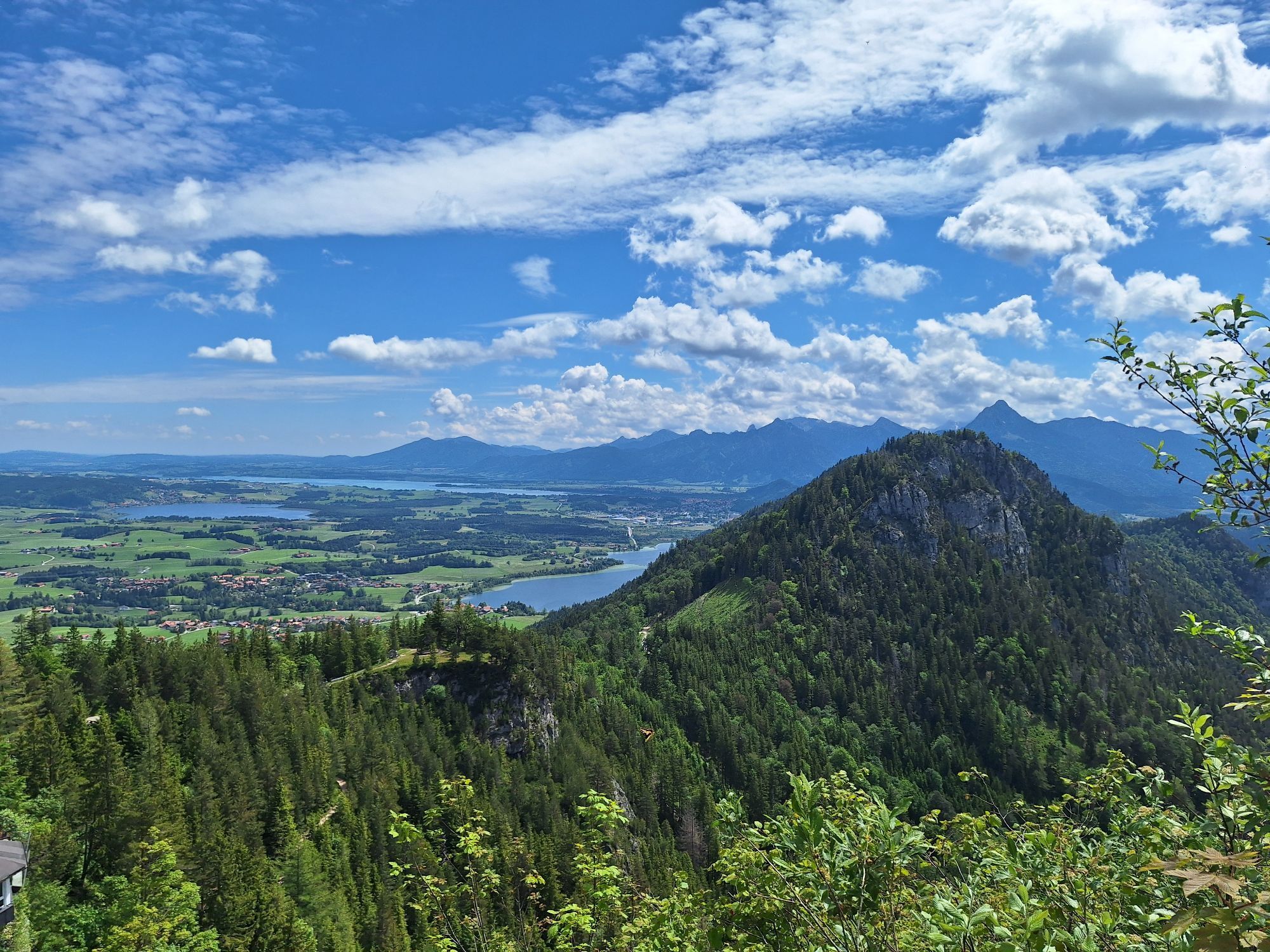
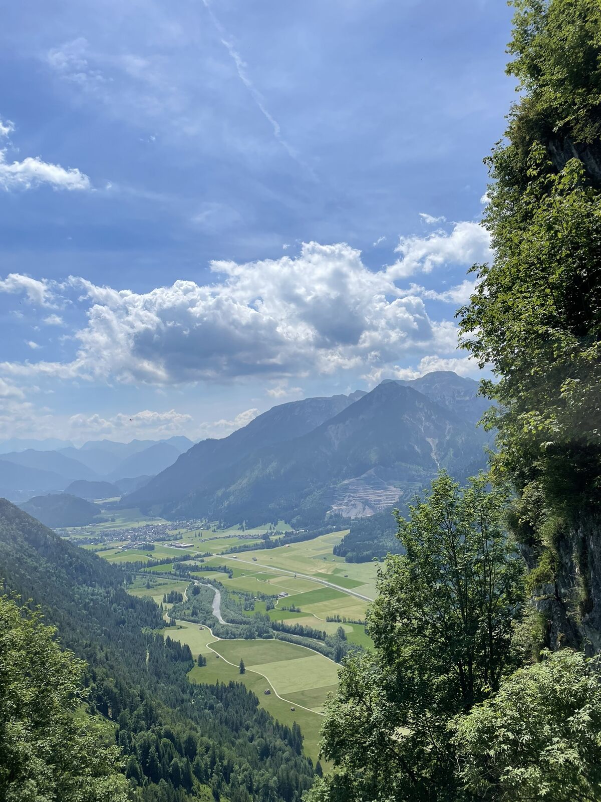
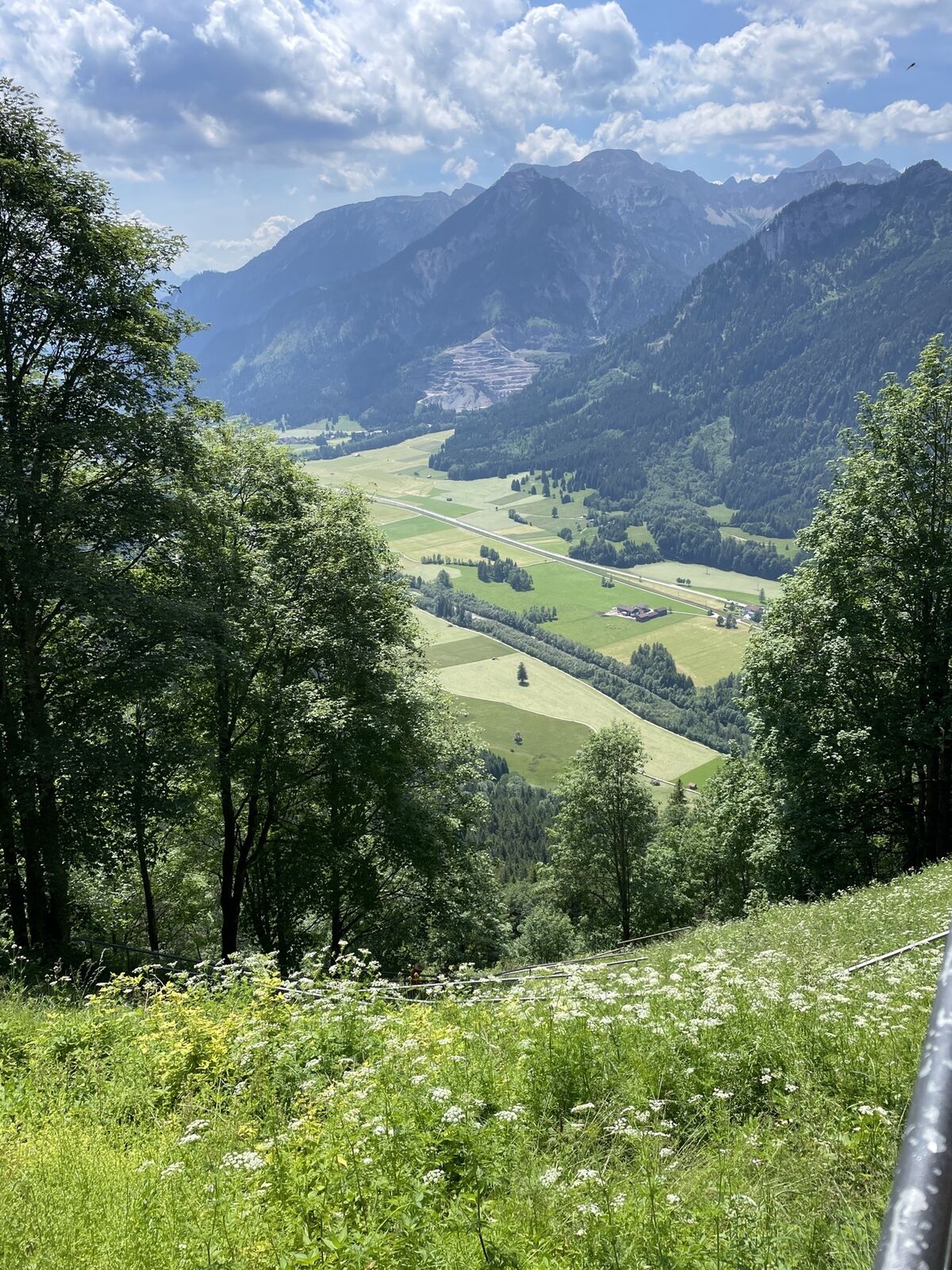
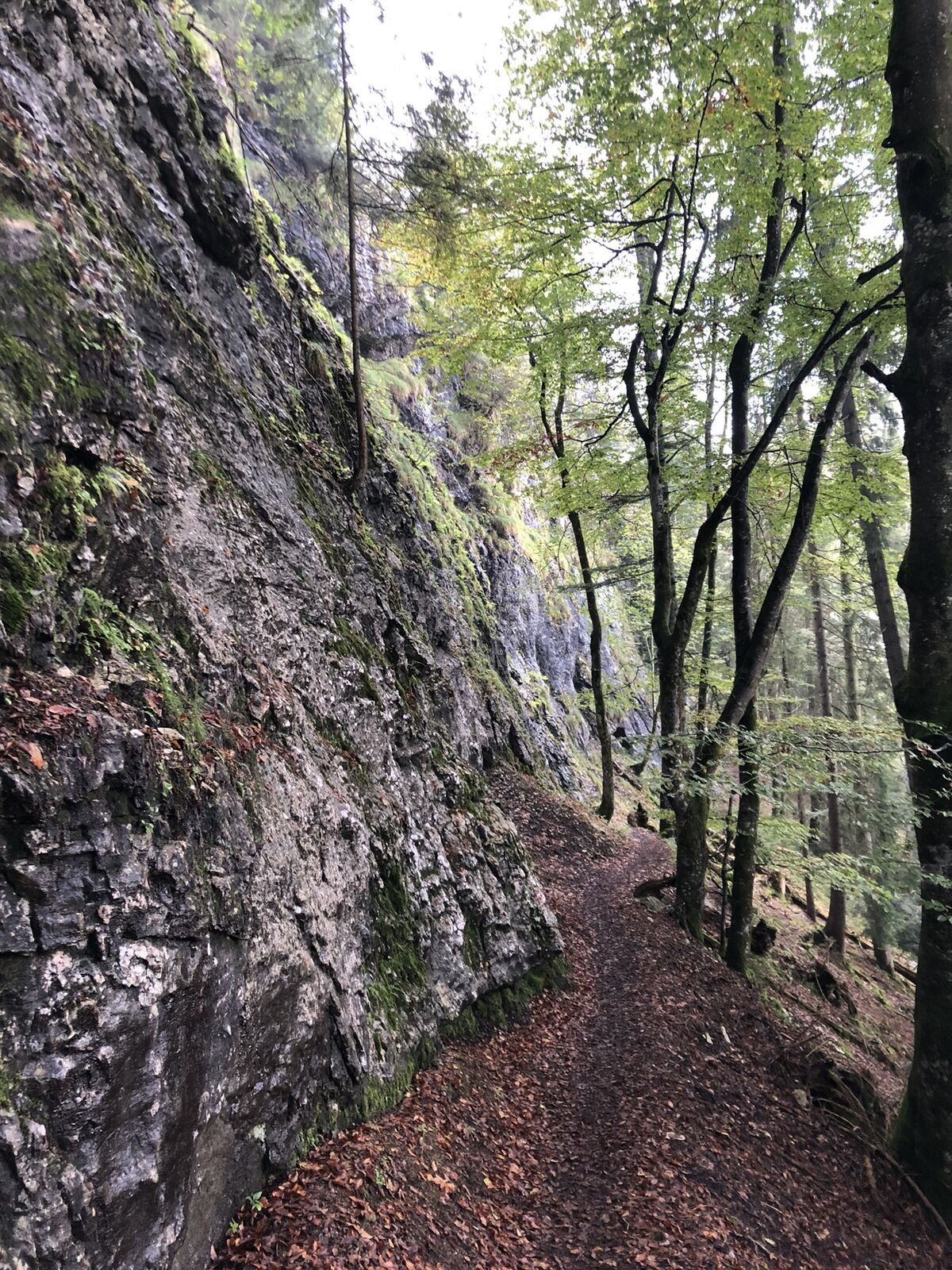
This trail running loop offers an intense nature experience over 13.1 km length with a high proportion of trails: Around 9.5 km lead over varied, narrow paths. From the starting point in Pfronten-Steinach, the route initially goes up to Germany's highest castle ruin – the Falkenstein Castle Ruin – with an impressive view over the Pfronten valley. The route then continues over the scenic Zirmgrat and Saloberkamm – two landscape-rich ridge lines with alpine character but still manageable for experienced beginners. At the Scheiberalm, a stop with mountain panorama invites for a break before returning on alternative trails. The route combines a sporting challenge with diverse landscapes and is conveniently accessible by public transport through the nearby train station in Pfronten-Steinach. Ideal for everyone who wants to enjoy longer trail sections in a dreamlike surrounding.

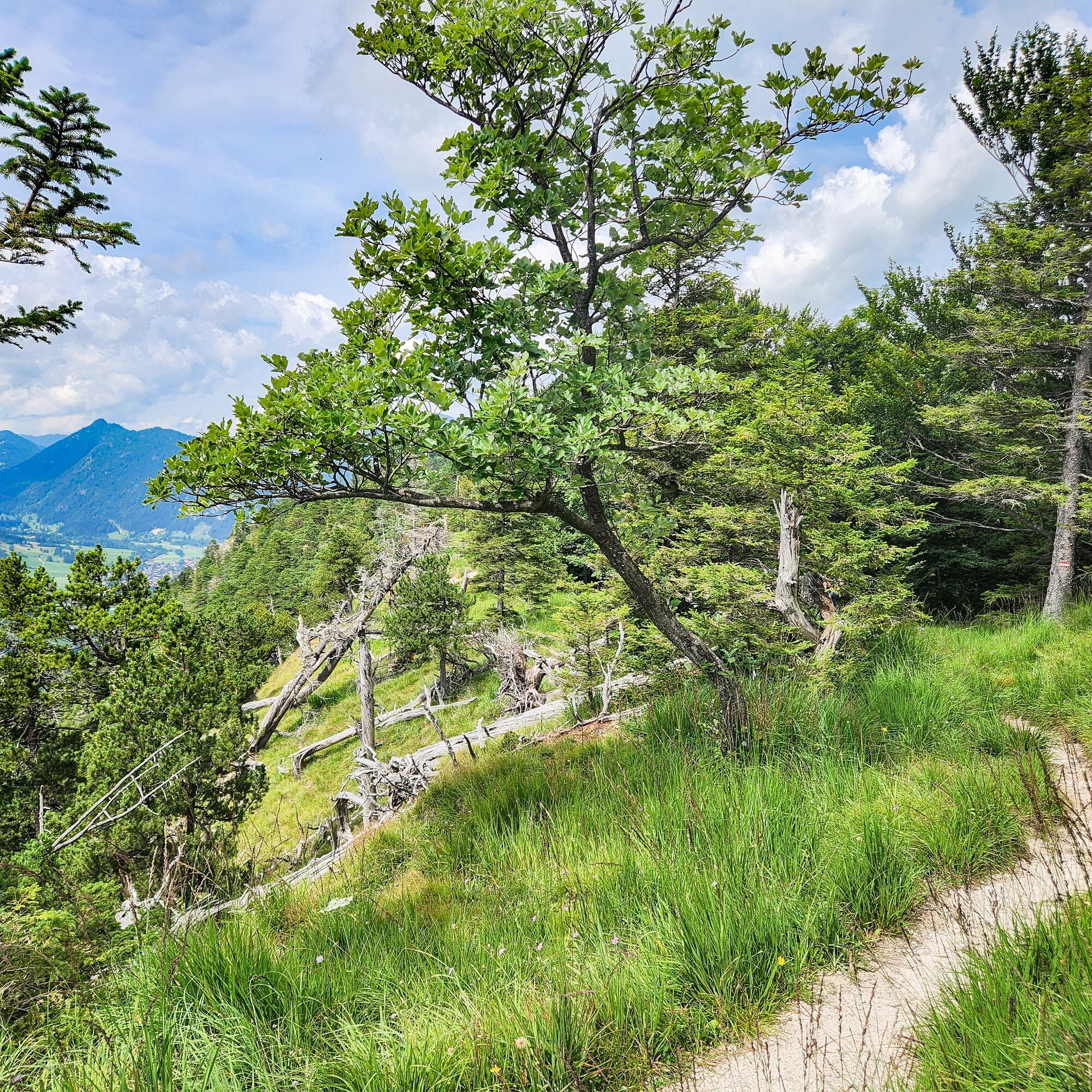
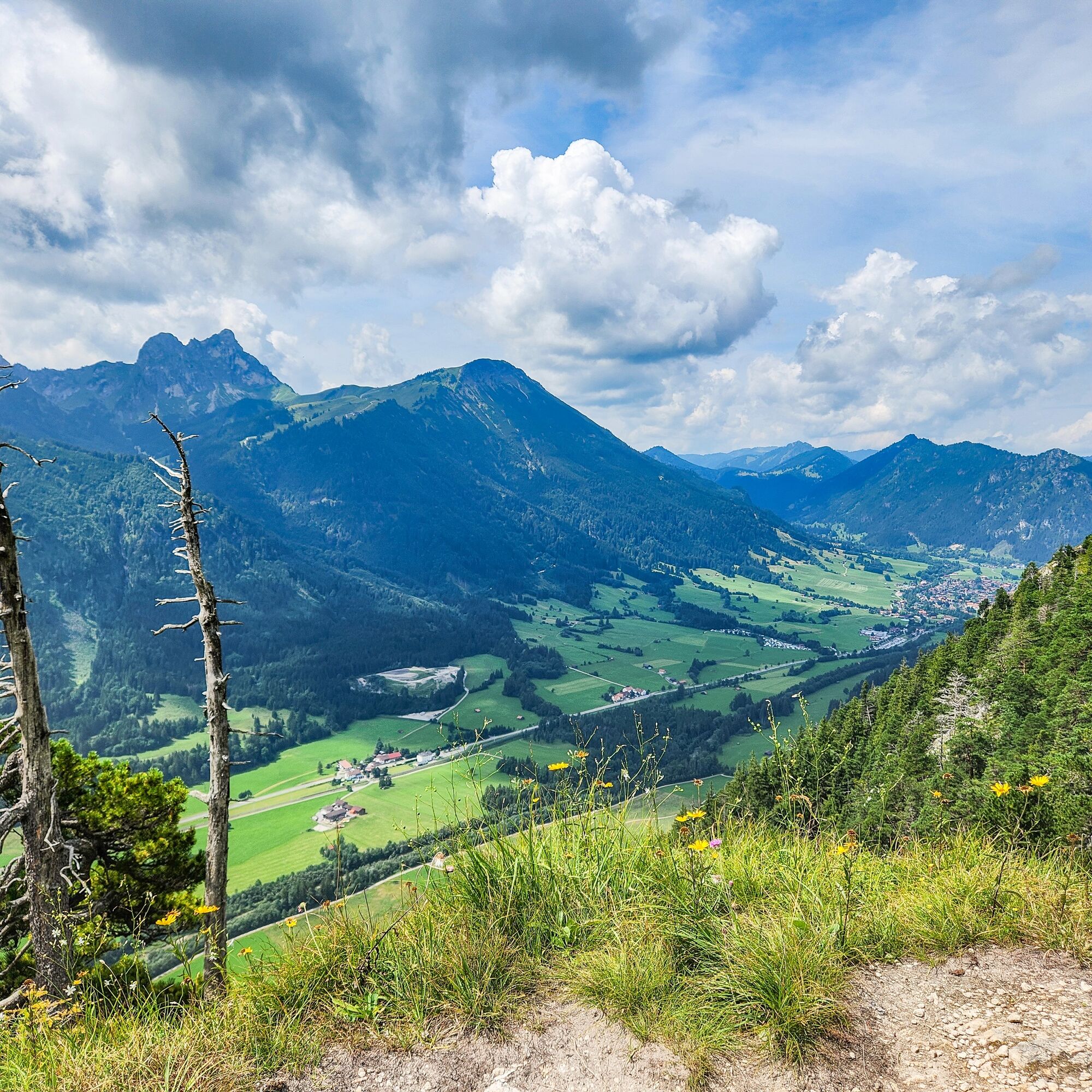
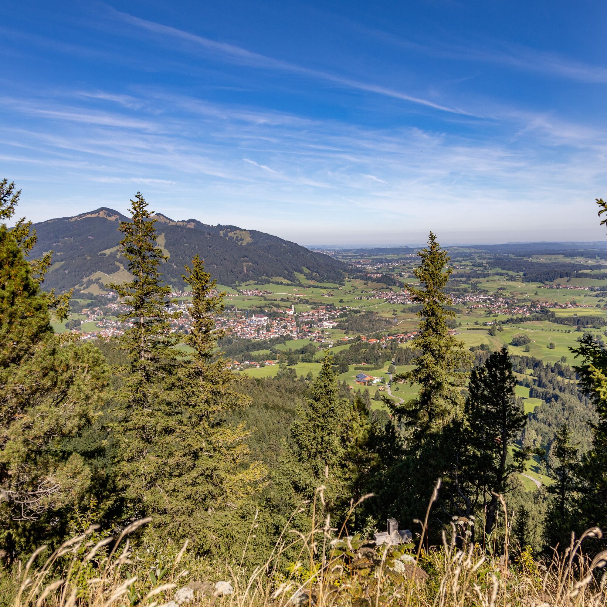
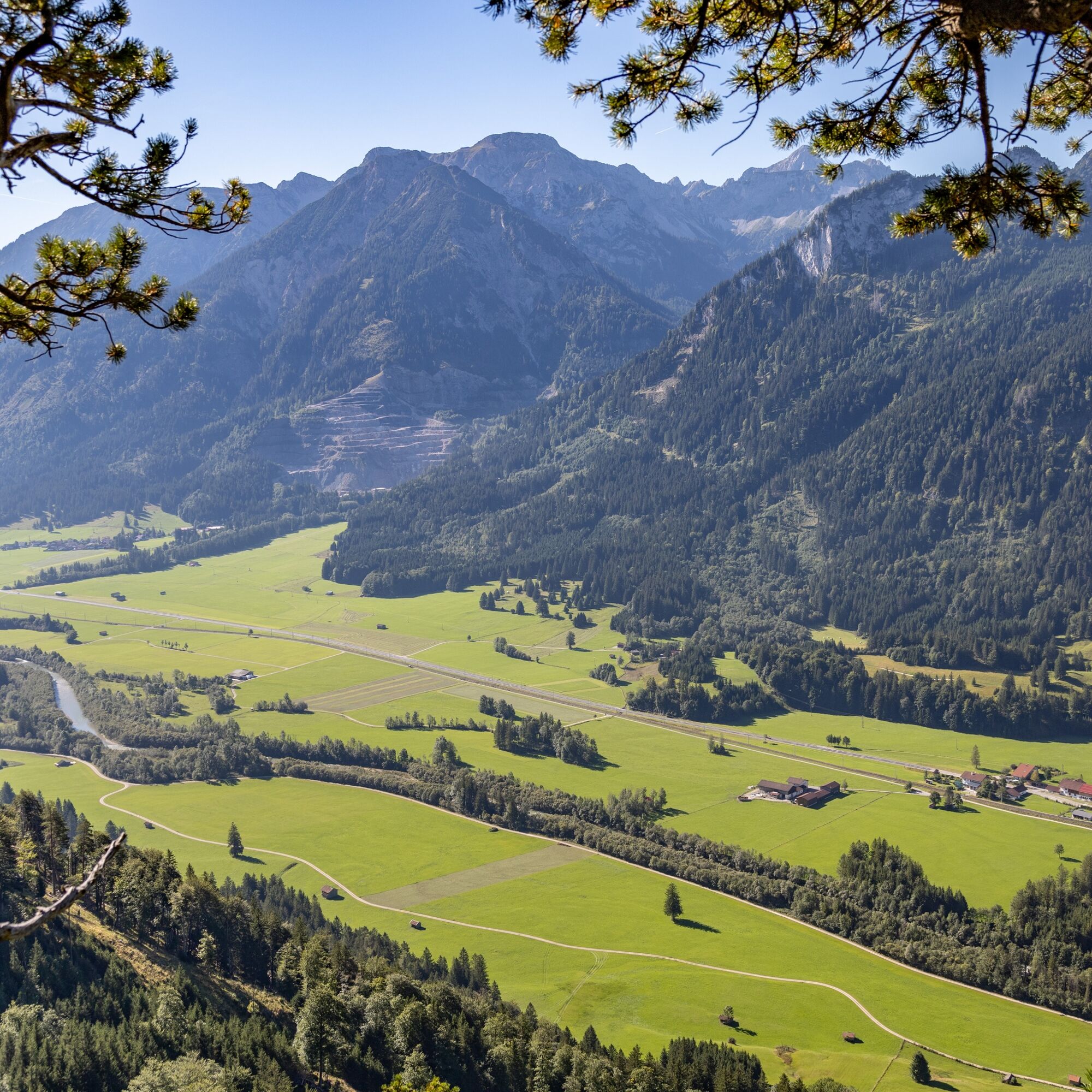
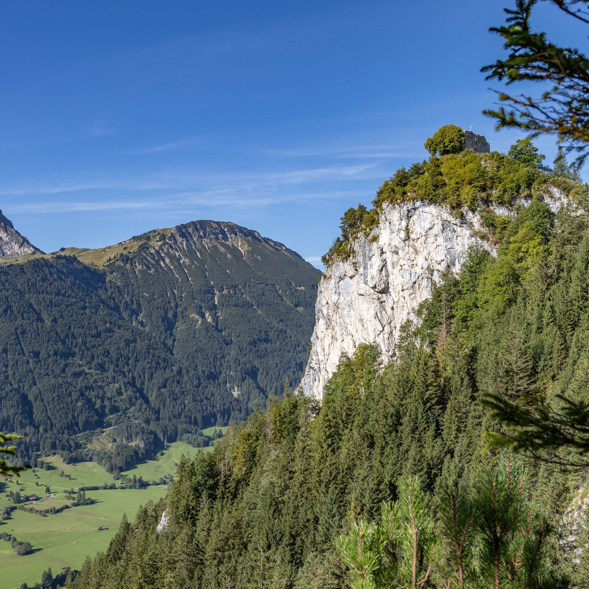
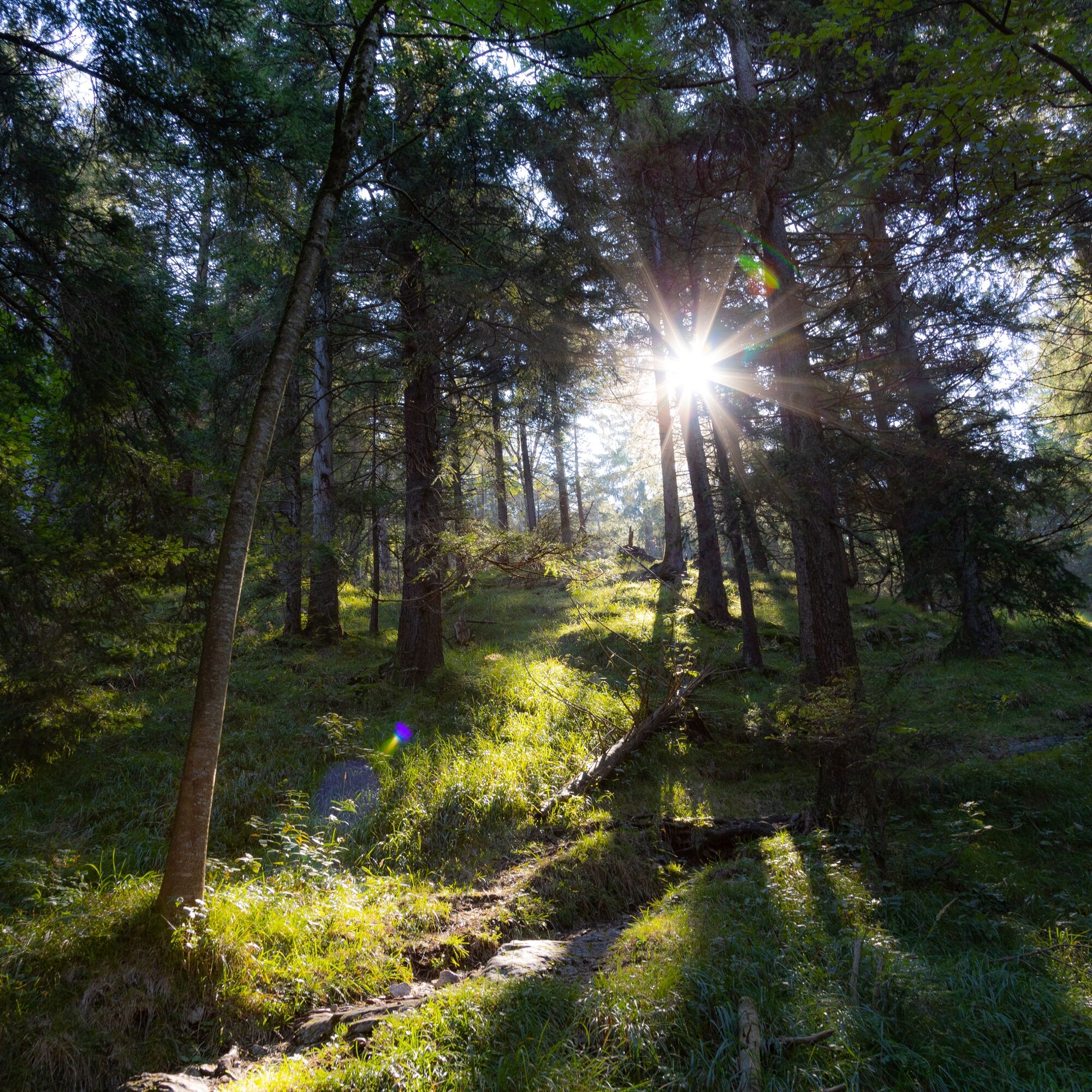

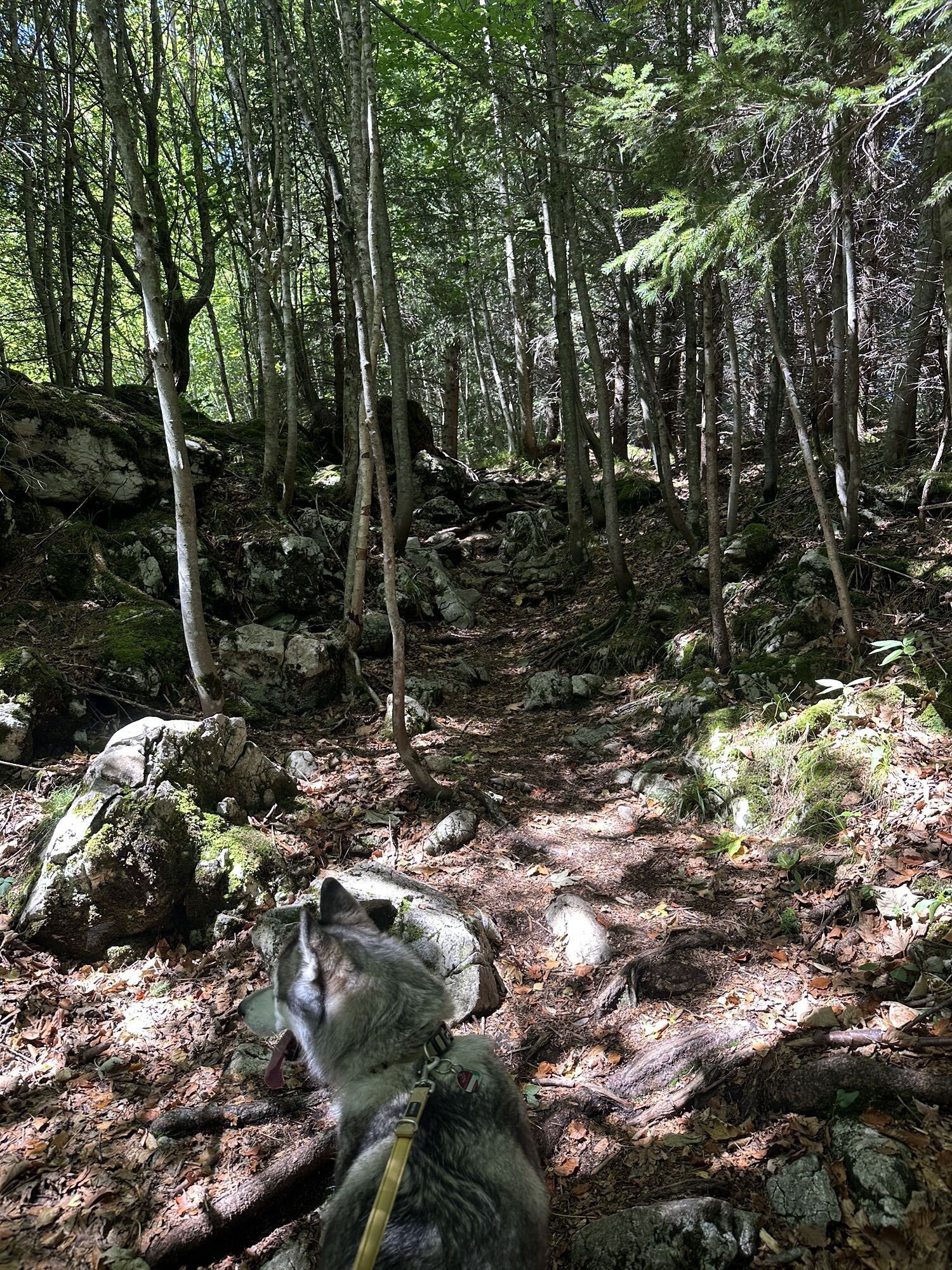
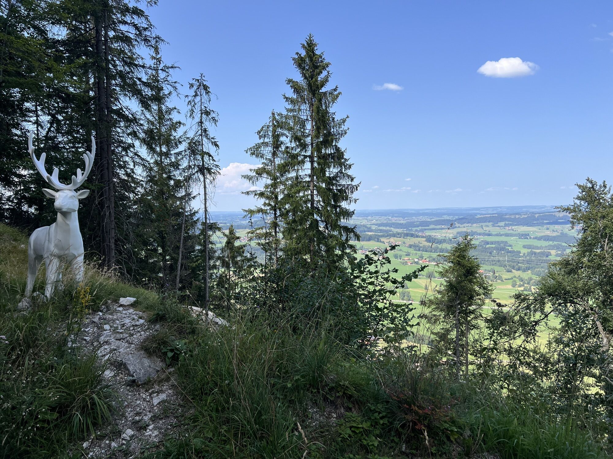
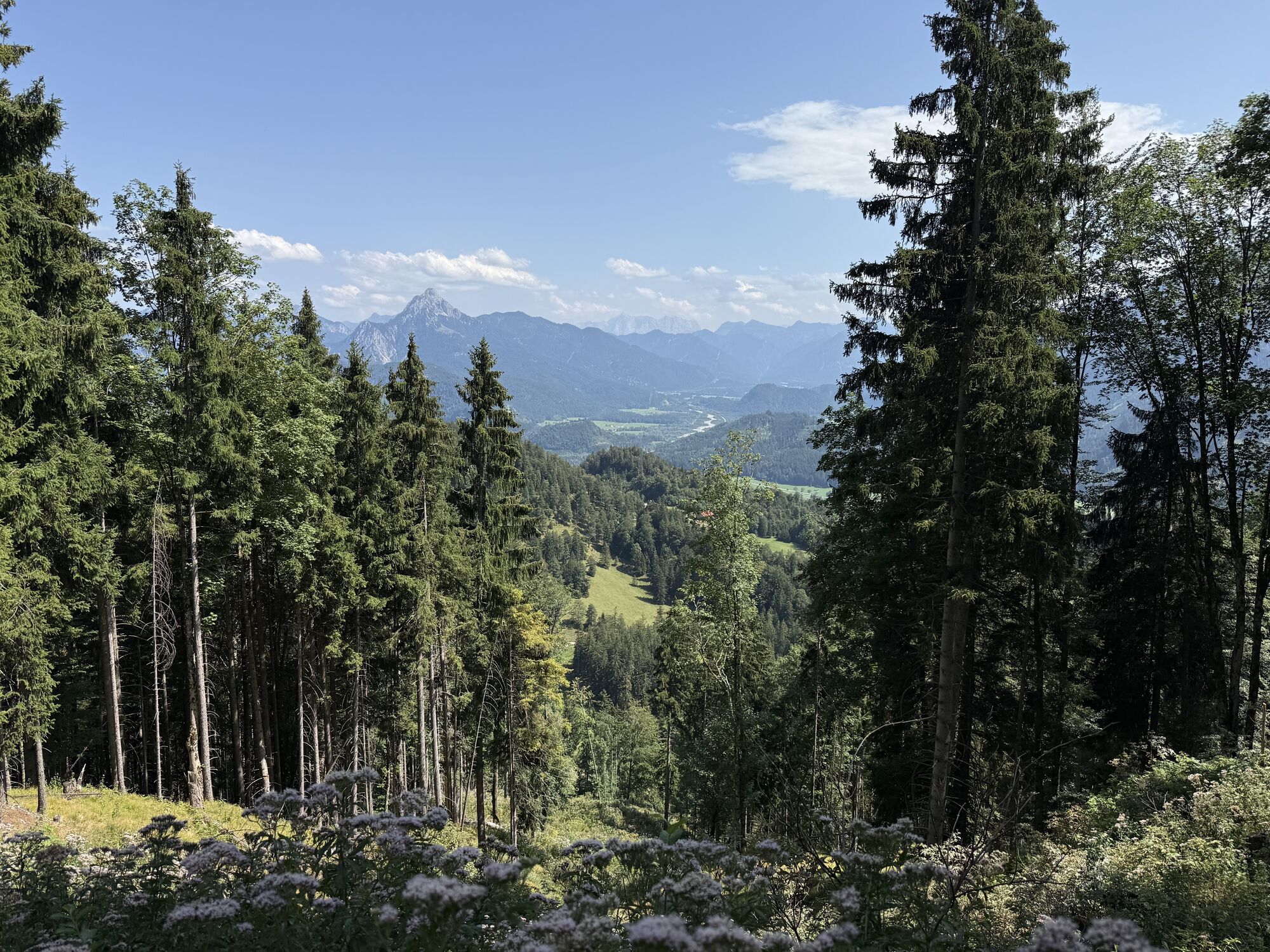
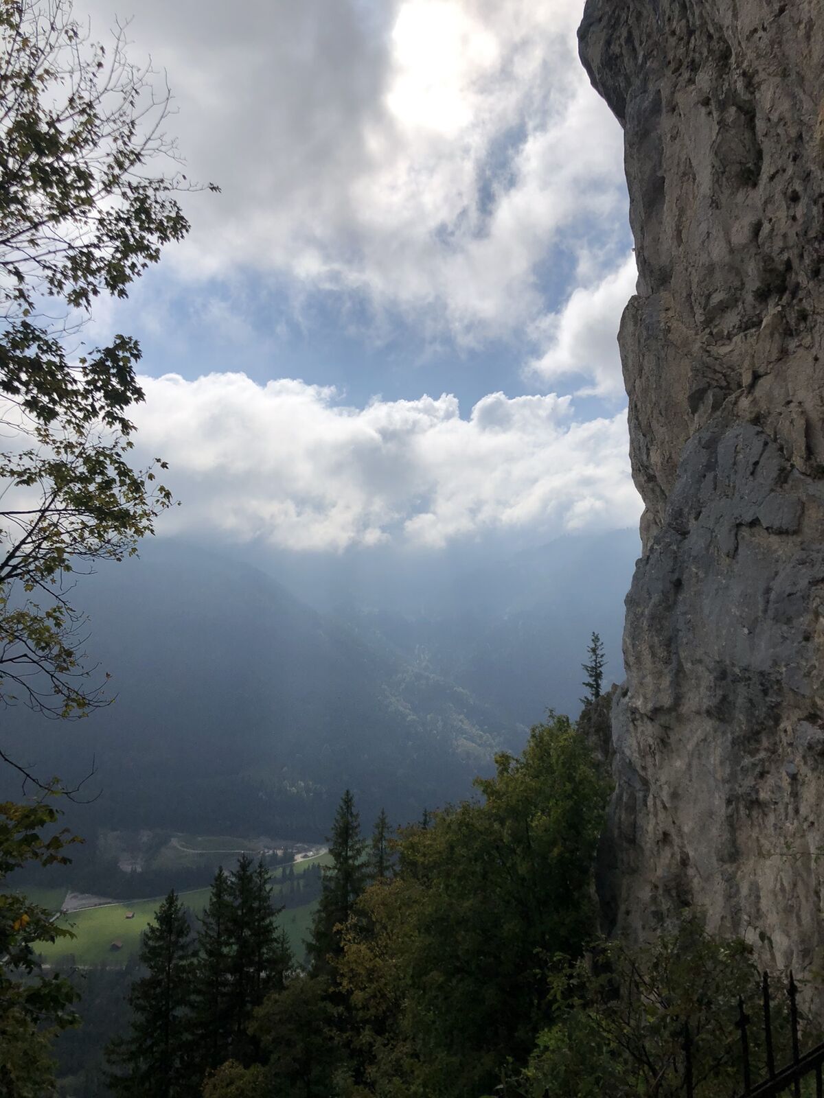
The route starts near the valley station of the Breitenbergbahn. After a few meters, the path leads into the Allgäu mountain forest and then ascends on varied trails. Passing the Mariengrotto located in a rock crevice, it continues below the Falkenstein (Germany's highest castle ruin) towards Füssen. On scenic trails, the path runs over the Zirmgrat and Falkenstein. Along the way, you have repeatedly beautiful views of the alpine panorama on one side and the open alpine foothills on the other. After about 6 kilometers, you reach the Salober Alm. Anyone who wants can stop here or start the return after a loop. Even on the second part of the route, you are almost exclusively on trails.
Da
Distance is not the decisive factor: Challenging terrain can easily increase the time you usually need per kilometer significantly. Therefore, plan generously the time you want to be on the trail. If you reach halfway, plan to turn back if in doubt. If you get more tired on the route than you thought, turn back.
Don't forget water and provisions: Even on shorter runs, take provisions and enough water with you. For example, energy bars fit easily in any pocket. Drink continuously in smaller sips even if you're not thirsty. If you are unexpectedly longer in the forest or in the mountains, having enough food and water makes an important difference.
Assess your running technique correctly: If in doubt, start at first in easy terrain and gradually increase to routes through challenging alpine terrain. Small, quick steps are best as they allow you to react faster and keep balance. Good shoes are important. Trail shoes with a good tread adhere better to the terrain and protect your feet from roots or stones. If necessary, have an expert in a trail running specialty store advise you to find the right shoes.
Use the right equipment: Temperatures can fluctuate greatly especially in the mountains, and thunderstorms can approach faster than you think. Even in summer temperatures, warm spare clothing for lower temperatures in extreme cases can be helpful and make unforeseen situations less unpleasant. And of course, you should always think of good sun protection.
Better safe than sorry: Inform someone about your planned route and when you should be back. Always take a mobile phone (fully charged) and a whistle. If you try a new route, take a close look at the route as well as the altitude meters and the technical difficulty of the tour in advance.
T2
Pridobite vpogled
Vedno v živo na mestu z več kot 9.500 spletnimi kamerami. bergfex Kot uporabnik Pro si lahko zdaj ogledate ustrezne spletne kamere za številne izlete v aplikaciji izleti iz. Tako si lahko neposredno ogledate trenutne razmere.
Priljubljeni izleti v okolici
-
4.9
Hiking tour to Breitenberg
težkoPohodništvo 15.6 km -
4.6
Around Weißensee
svetlobaPohodništvo 6.12 km -
4.7
Forggensee round
srednjaKolesarjenje 32.5 km -
4.1
Drehhütte
svetlobaPohodništvo 3.34 km -
4.5
Circular hike Dreh- and Rohrkopfhütte
svetlobaPohodništvo 8.76 km -
4.9
Gemeinde Grän, Tirol/Österreich Aggenstein Rundtour über Höhenweg
srednjaPohodništvo 9.84 km -
4.9
Tegelberg | Branderschrofen | Neuschwanstein
srednjaPohodništvo 14.8 km -
4.6
Yellow Wall Trail, Tegelberg (A)
srednjaVia ferrata 3.65 km -
4.8
Do koče Bad Kissinger prek planinske poti Gräner Höhenweg
srednjaPohodništvo 13.0 km -
4.4
Rundwanderung Stuibenfälle
srednjaPohodništvo 3.92 km

Pohodništvo in sledenje


Ne zamudite ponudb in navdiha za naslednje počitnice
Vaš e-poštni naslov je bil dodan na poštni seznam.





