
Navigacija po spletni strani
Pridobite to turo v svoj mobilni telefon
Zemljevid
Thannheimer Valley Loop
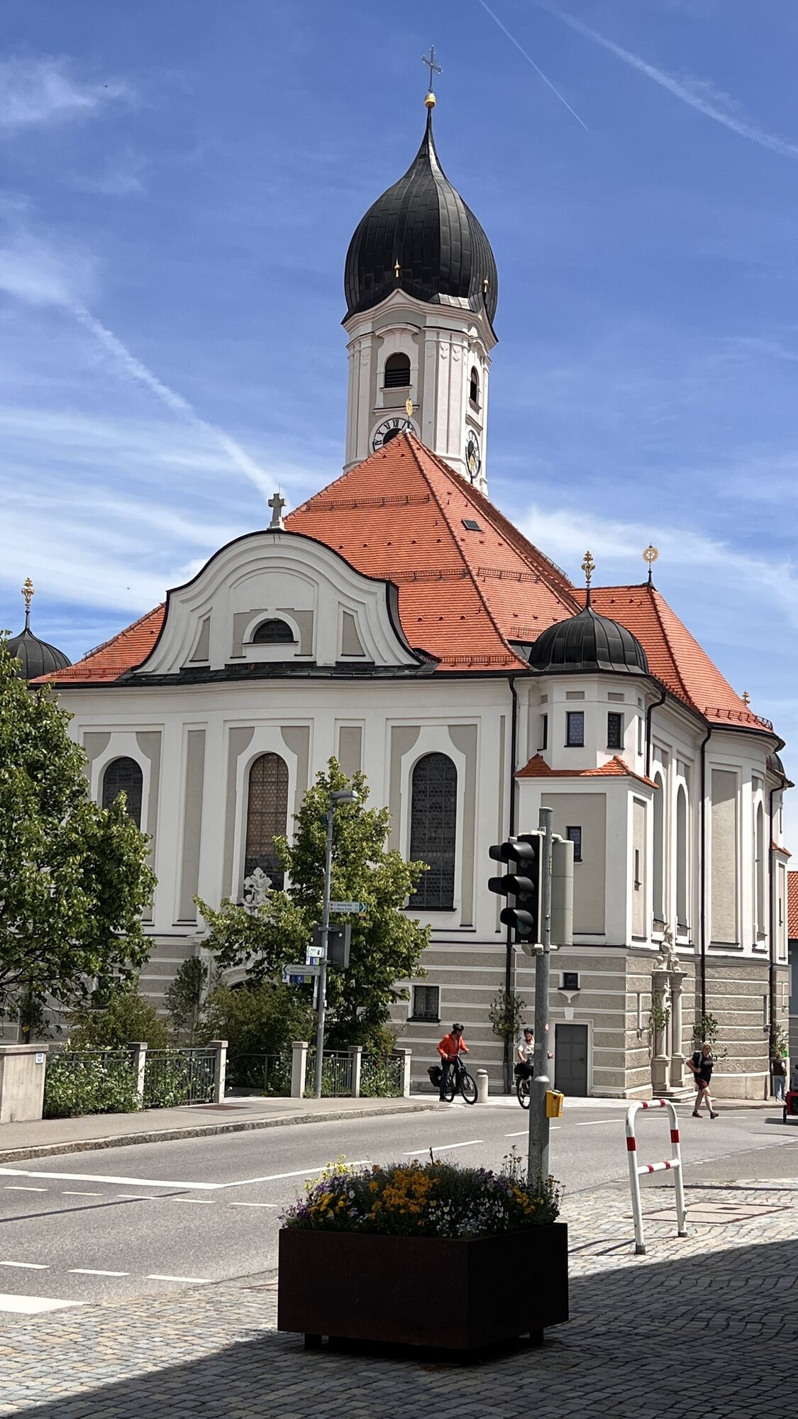
težko
Cestno kolo
99.94 km
Skenirajte kodo QR in začnite navigacijo v aplikaciji bergfex.
QR Code
Pohodništvo in sledenje
Prenos za iOS
Prenos za Android

Thannheimer Valley Loop

Razdalja
99.94 km
Trajanje
05:10 h
Ascent
941 hm
Morska gladina
688 - 1,174 m
Prenos skladbe
Zemljevid
Thannheimer Valley Loop
težko
Cestno kolo
99.94 km

The tour begins and ends at theImmenstadt train station. It starts by following quiet side roads along the foot of the Rottachberg to Martinszell and continues on to Waltenhofen and Hegge. Then keep to...

Opis
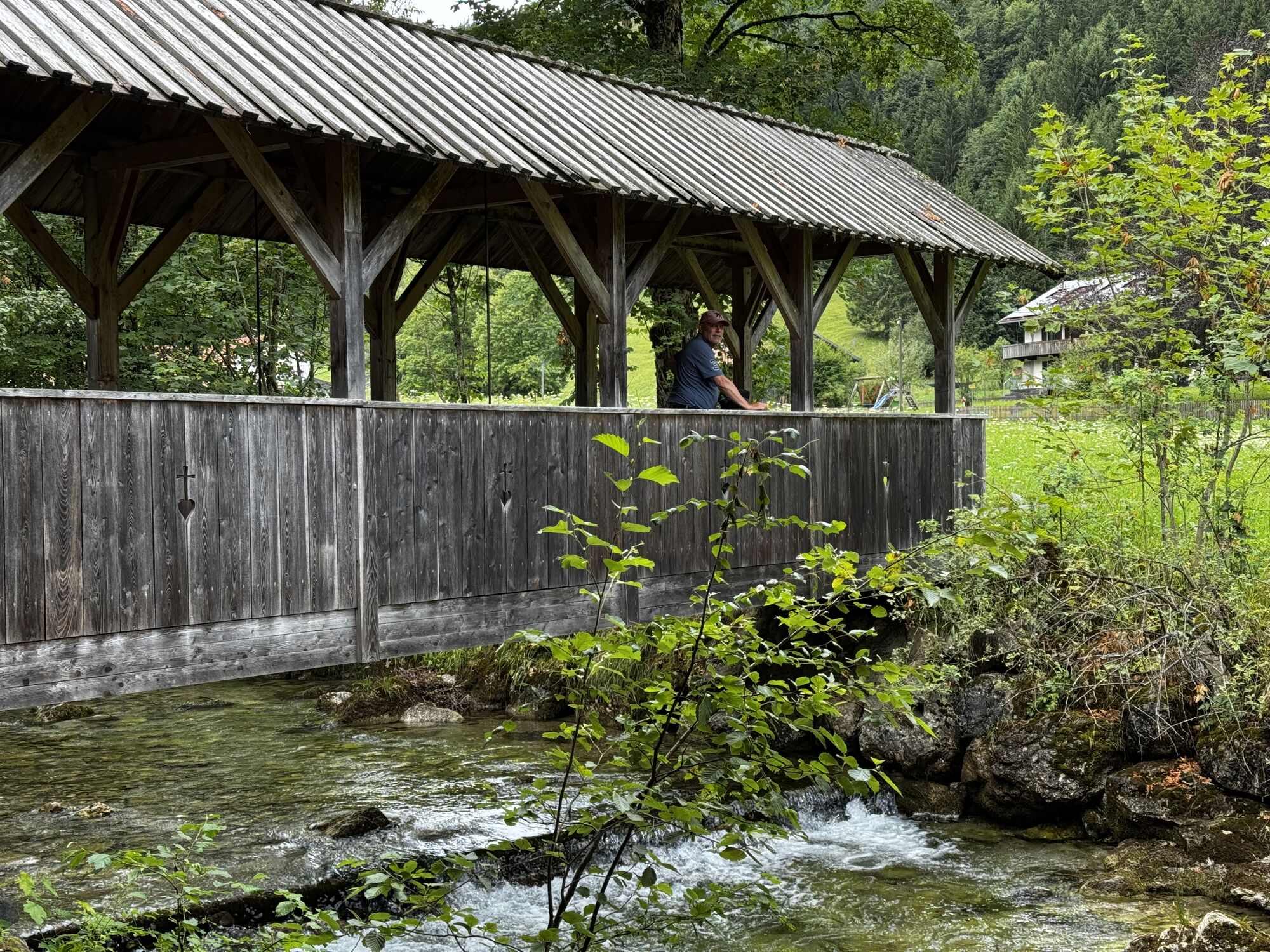
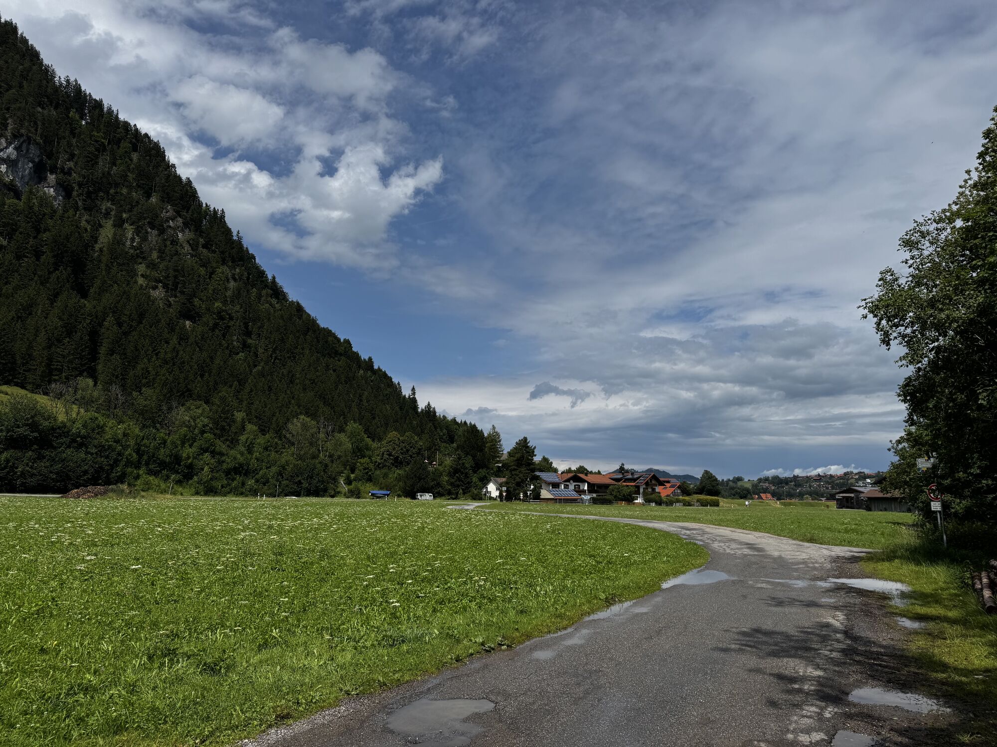
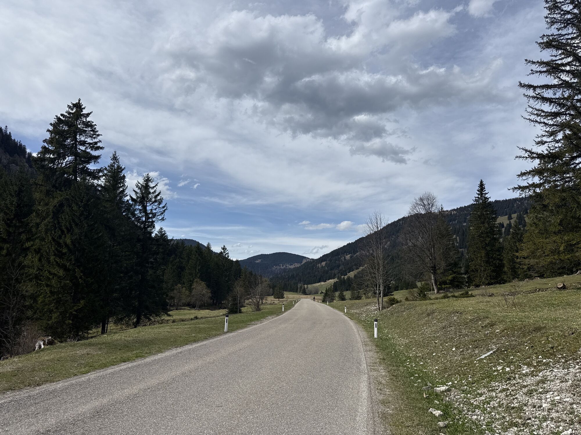
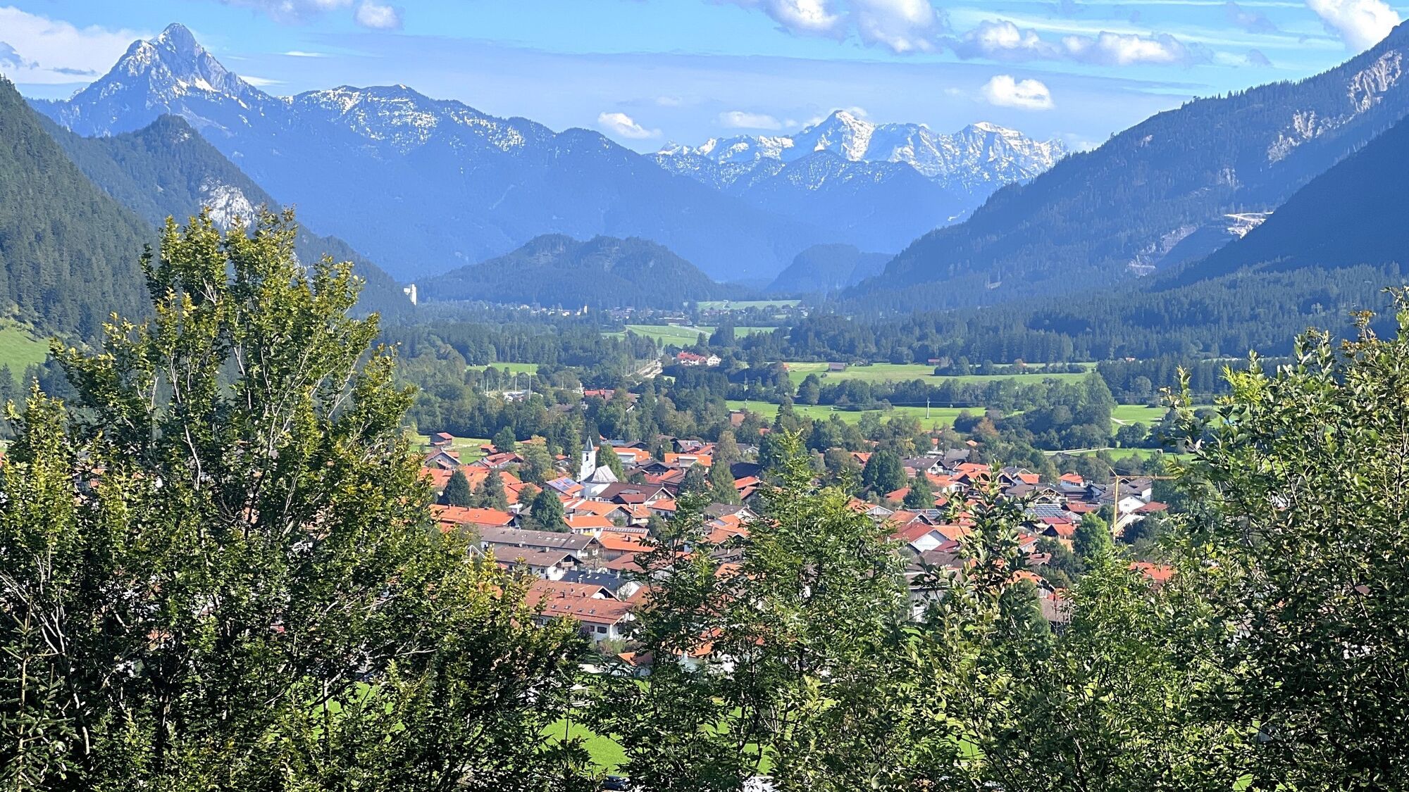
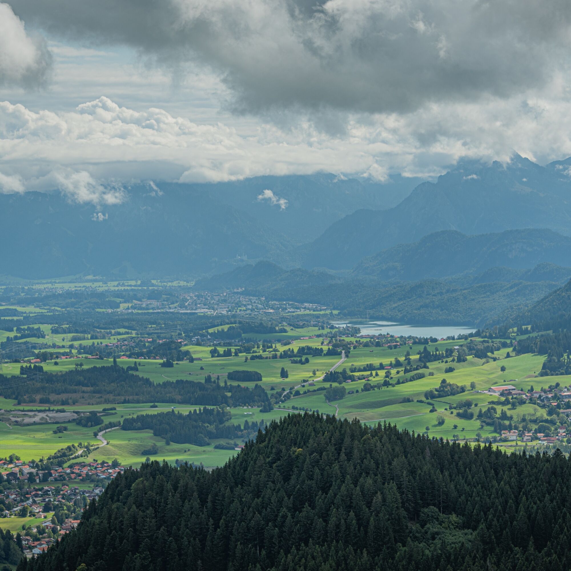
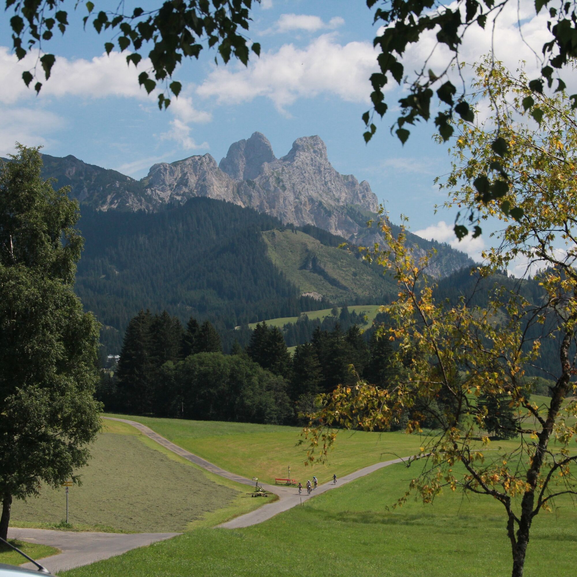
The tour begins and ends at theImmenstadt train station. It starts by following quiet side roads along the foot of the Rottachberg to Martinszell and continues on to Waltenhofen and Hegge. Then keep to the right and cycle past Lake Öschle to Sulzberg. Lush green meadows and rolling countryside make the ride a visual treat as well.

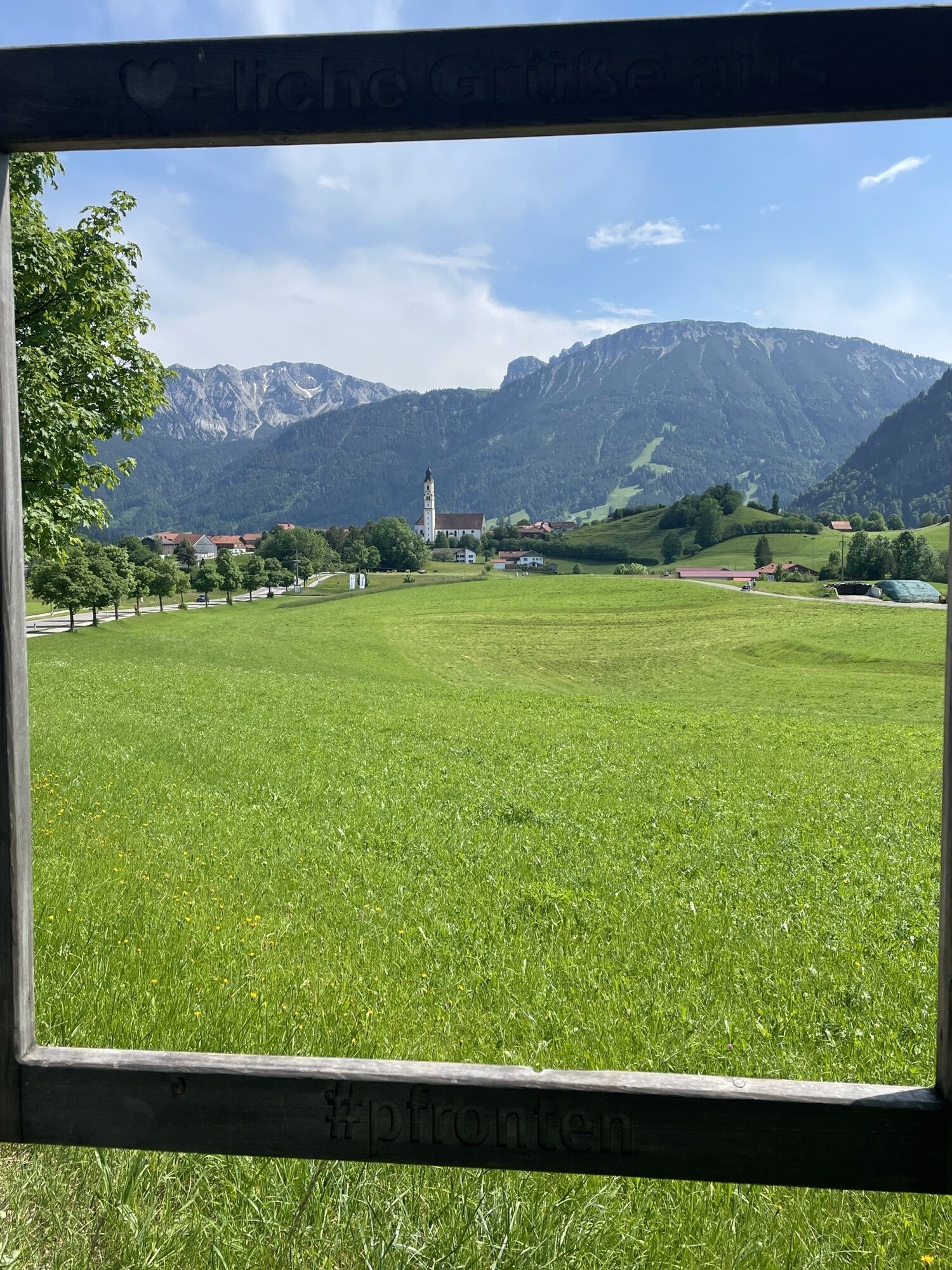
The route then passes through Oy-Mittelberg, on to Nesselwang, and continues along the bike path to Pfronten. From here, keep to the right again to turn into the Achtal. This narrow valley connects to the Tannheimer Valley. Caution: Cows roam freely here on Gränerstraße.

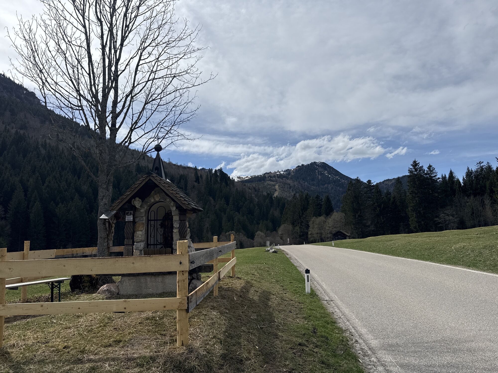
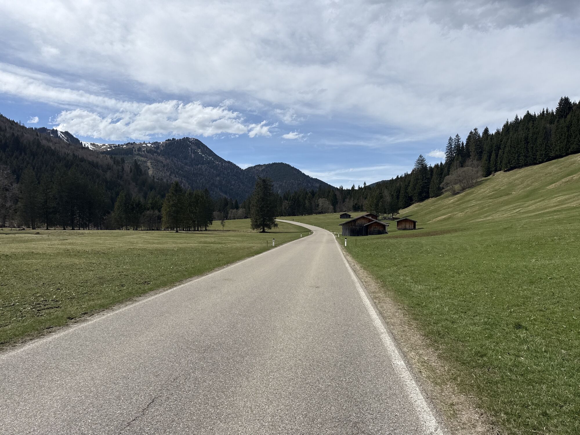
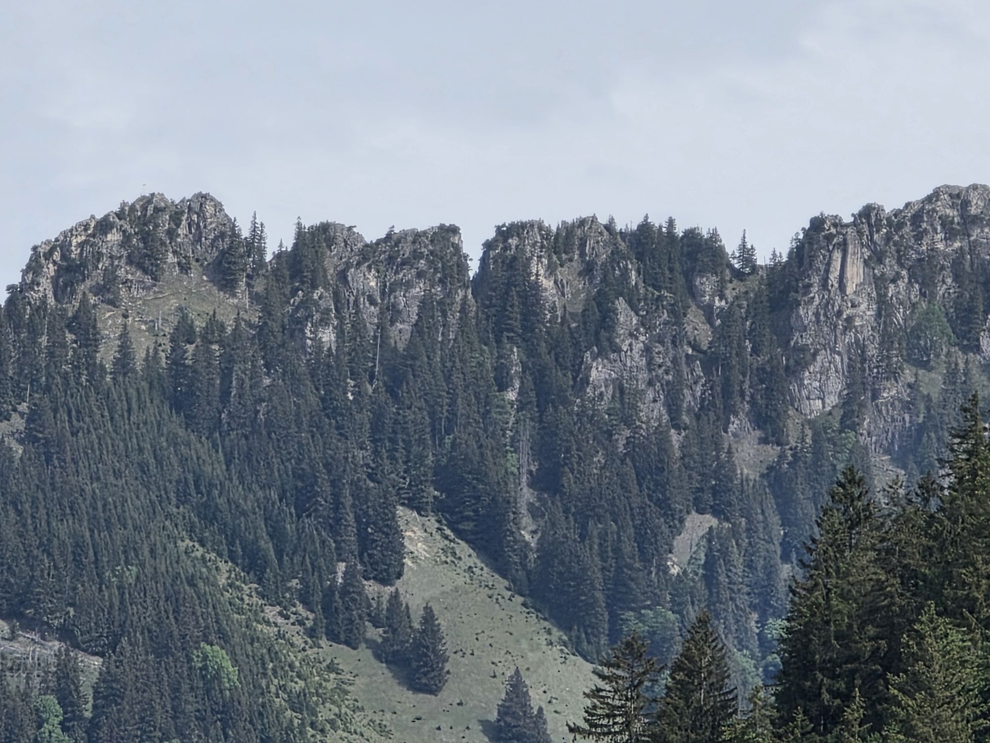
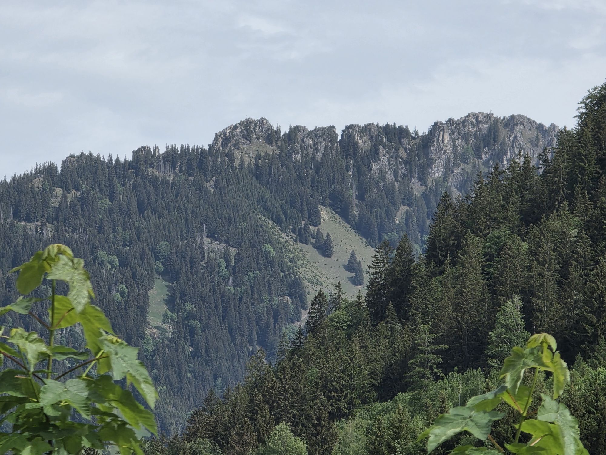
Once you arrive in Grän, the beautiful Tannheimer Valley opens up; cross it by keeping to the right. Surrounded by picturesque mountains, the route then heads up to Oberjoch. With quite a few kilometers and meters of elevation gain already under your belt, you can look forward to the fast descent over the Joch Pass to Hindelang. Now you can enjoy a relaxed ride to Sonthofen and, turning right, back to Immenstadt via Berghofen, Burgberg, and Blaichach.

Pot
St. Ursula
(719 m)
Kraj čaščenja
4.7 km
Sankt Martin
(720 m)
Kraj čaščenja
19.7 km
Sankt Magnus
(893 m)
Kraj čaščenja
34.9 km
St. Martin
(886 m)
Kraj čaščenja
46.7 km
Wasserscheide Vils/Steinacher Achen
(1,145 m)
Gorsko sedlo
61.8 km
Oberjoch Pass
(1,175 m)
Gorski prelaz
73.6 km
St. Ursula und Wendelin
(761 m)
Kraj čaščenja
90.8 km
Pot
Zemljevid
Thannheimer Valley Loop
težko
Cestno kolo
99.94 km
Sankt Nikolaus
(728 m)
Kraj čaščenja
0.3 km
Ölbergkapelle
(728 m)
Kraj čaščenja
0.3 km
Immenstadt im Allgäu
(729 m)
Mesto
0.4 km
St. Ursula
(719 m)
Kraj čaščenja
4.7 km
Untermaiselstein
(718 m)
Vas
4.9 km
Freidorf
(726 m)
Vas
6.3 km
Hl. Familie
(725 m)
Kraj čaščenja
6.4 km
Humbach
(731 m)
Poravnava
7.3 km
Gindels
(732 m)
Poravnava
8.3 km
St. Antonius Einsiedler
(749 m)
Kraj čaščenja
9.5 km
Rottach
(744 m)
Vas
9.7 km
Häusern
(700 m)
Poravnava
12.3 km
Martinszell im Allgäu
(715 m)
Vas
12.9 km
St. Martin
(714 m)
Kraj čaščenja
13.2 km
Buch
(707 m)
Poravnava
15.2 km
Eggen
(704 m)
Poravnava
16.1 km
Laudorf
(721 m)
Poravnava
17.0 km
Sankt Cosmas und Damian
(697 m)
Kraj čaščenja
17.9 km
Rauns
(724 m)
Vas
18.8 km
Gasthof Krone
(708 m)
Restavracija
19.5 km
Waltenhofen
(724 m)
Vas
19.6 km
Sankt Martin
(720 m)
Kraj čaščenja
19.7 km
Auferstehungskirche
(713 m)
Kraj čaščenja
20.2 km
NOVA
(721 m)
Restavracija
20.6 km
Lanzen
(720 m)
Soseska
20.8 km
Etna
(722 m)
Restavracija
21.4 km
Hegge
(718 m)
Vas
21.9 km
Maria, Königin der Apostel
(700 m)
Kraj čaščenja
22.3 km
Graben
(697 m)
Vas
22.9 km
Kempten (Allgäu)
(674 m)
Mesto
22.9 km
Öschle
(713 m)
Poravnava
24.4 km
Sulzberg
(711 m)
Vas
27.1 km
Il Cavallino
(712 m)
Restavracija
27.1 km
Heiligste Dreifaltigkeit
(712 m)
Kraj čaščenja
27.1 km
Aleuthe
(736 m)
Poravnava
28.4 km
Stellenmoos
(880 m)
Poravnava
33.3 km
Restaurant Café Elster
(905 m)
Restavracija
34.4 km
Oberzollhaus
(898 m)
Vas
34.7 km
Sankt Magnus
(893 m)
Kraj čaščenja
34.9 km
Wasenmühle
(866 m)
Poravnava
36.2 km
Kressen
(939 m)
Vas
37.6 km
Oy
(936 m)
Vas
38.3 km
Landgasthof Rössle
(936 m)
Restavracija
38.3 km
St. Anna Kapelle
(936 m)
Kraj čaščenja
38.3 km
Gschwend
(895 m)
Vas
41.6 km
Im Gern
(903 m)
Soseska
42.1 km
Oberer Markt
(874 m)
Soseska
43.0 km
Pfarrkirche St. Andreas
(867 m)
Kraj čaščenja
43.1 km
Mittlerer Markt
(861 m)
Soseska
43.2 km
Nesselwang
(864 m)
Vas
43.2 km
Äußerer Markt
(867 m)
Soseska
43.5 km
Obere Wank
(879 m)
Soseska
43.9 km
Wank
(888 m)
Vas
45.1 km
Gasthof Engel - Alps Hostel
(893 m)
Restavracija
46.5 km
Kappel
(890 m)
Vas
46.6 km
St. Martin
(886 m)
Kraj čaščenja
46.7 km
Kleiner Josberg
(904 m)
Hill
48.2 km
Weißbach
(875 m)
Vas
48.4 km
Kapelle St.Sebastian
(873 m)
Kraj čaščenja
48.4 km
Berg
(876 m)
Soseska
49.6 km
Pfronten-Ried
(858 m)
Železniška postaja
50.0 km
Ried
(859 m)
Soseska
50.3 km
Pfronten
(860 m)
Mesto
50.4 km
Heitlern
(860 m)
Soseska
50.6 km
St. Leonhard
(859 m)
Kraj čaščenja
50.7 km
Dorf
(862 m)
Soseska
51.2 km
Ösch
(854 m)
Soseska
51.3 km
Seealp
(1,063 m)
Restavracija
59.2 km
Enge
(1,138 m)
Poravnava
61.2 km
Michaelskapelle
(1,148 m)
Kraj čaščenja
61.8 km
Wasserscheide Vils/Steinacher Achen
(1,145 m)
Gorsko sedlo
61.8 km
Lumberg
(1,156 m)
Vas
62.0 km
St. Nepomuk-Kapelle
(1,155 m)
Kraj čaščenja
62.1 km
St. Wendelin
(1,138 m)
Kraj čaščenja
63.3 km
Grän
(1,138 m)
Vas
63.4 km
Innergschwend
(1,100 m)
Poravnava
65.2 km
St. Martin
(1,097 m)
Kraj čaščenja
65.4 km
Tannheim
(1,097 m)
Vas
66.3 km
Zöblen
(1,087 m)
Vas
69.7 km
Schattwald
(1,072 m)
Vas
70.8 km
Steig
(1,057 m)
Poravnava
71.9 km
Oberjoch Pass
(1,175 m)
Gorski prelaz
73.6 km
Kaminstube
(1,145 m)
Restavracija
75.2 km
Wasserscheide Wertach/Iller
(1,156 m)
Gorski prelaz
76.4 km
Oberjoch
(1,145 m)
Vas
76.6 km
Kapelle St. Jakob
(1,140 m)
Kraj čaščenja
76.7 km
Heilig Geist Kirche
(1,144 m)
Kraj čaščenja
76.7 km
Oberes Dorf
(1,159 m)
Soseska
76.7 km
Bad Oberdorf
(821 m)
Vas
81.5 km
Pfarrkirche St. Johannes der Täufer
(824 m)
Kraj čaščenja
82.8 km
Bad Hindelang
(825 m)
Mesto
82.9 km
Vorderhindelang
(814 m)
Vas
84.4 km
Reckenberg
(818 m)
Poravnava
85.8 km
Tiefenbach
(837 m)
Vas
86.9 km
Binswangen
(757 m)
Vas
88.4 km
Berghofen
(765 m)
Vas
90.3 km
St. Ursula und Wendelin
(761 m)
Kraj čaščenja
90.8 km
Winkel
(765 m)
Poravnava
90.9 km
Burgberg
(752 m)
Vas
92.7 km
Zur Schießstätte
(726 m)
Restavracija
94.7 km
Wirtshaus zum Dorfwirt
(727 m)
Restavracija
94.8 km
Blaichach
(732 m)
Vas
95.5 km
Hofen
(725 m)
Poravnava
96.2 km
Altmummen
(729 m)
Poravnava
97.3 km
Neumummen
(727 m)
Soseska
97.8 km
Erlöserkirche
(732 m)
Kraj čaščenja
99.2 km
Immenstadt im Allgäu
(729 m)
Mesto
99.5 km
Informacije o turneji
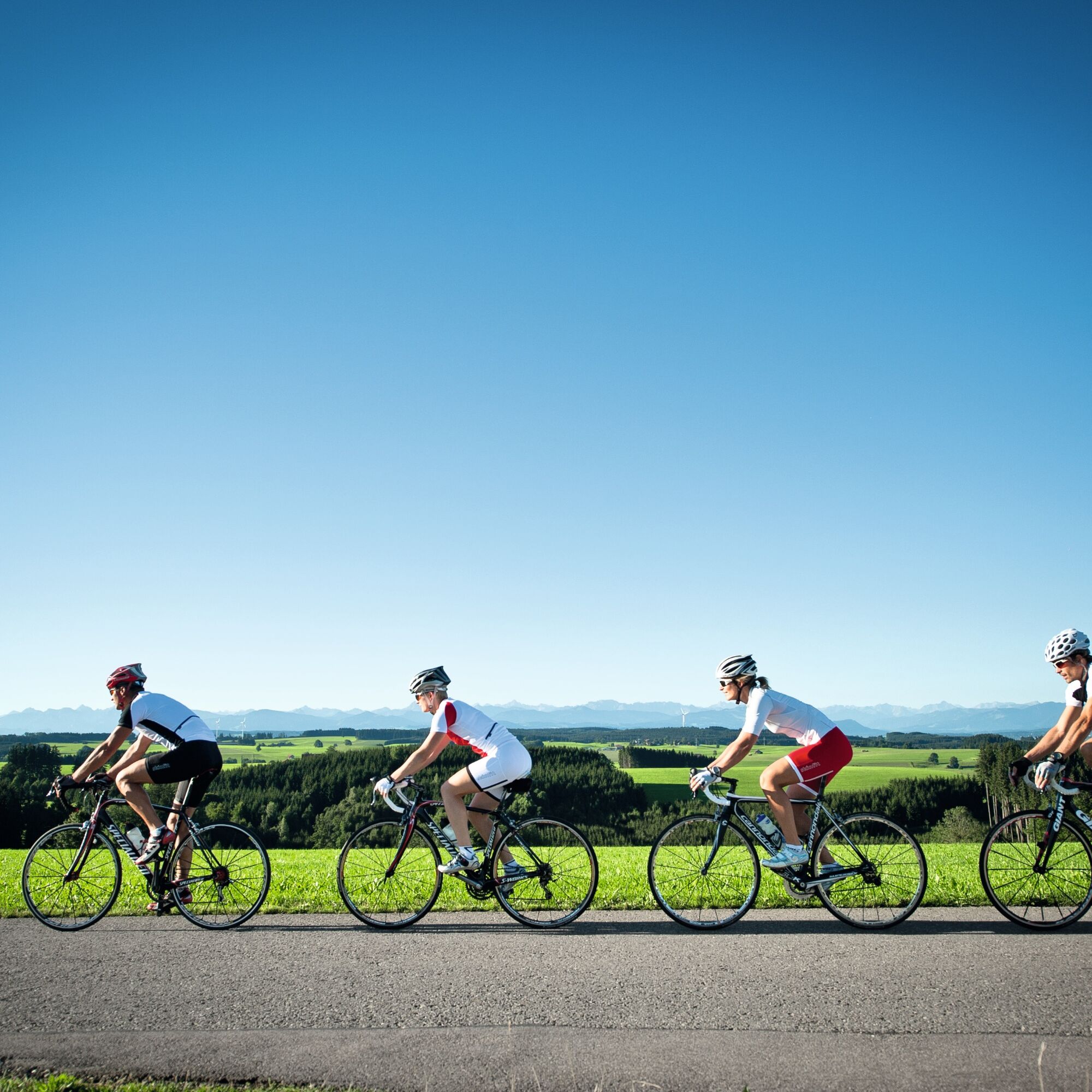
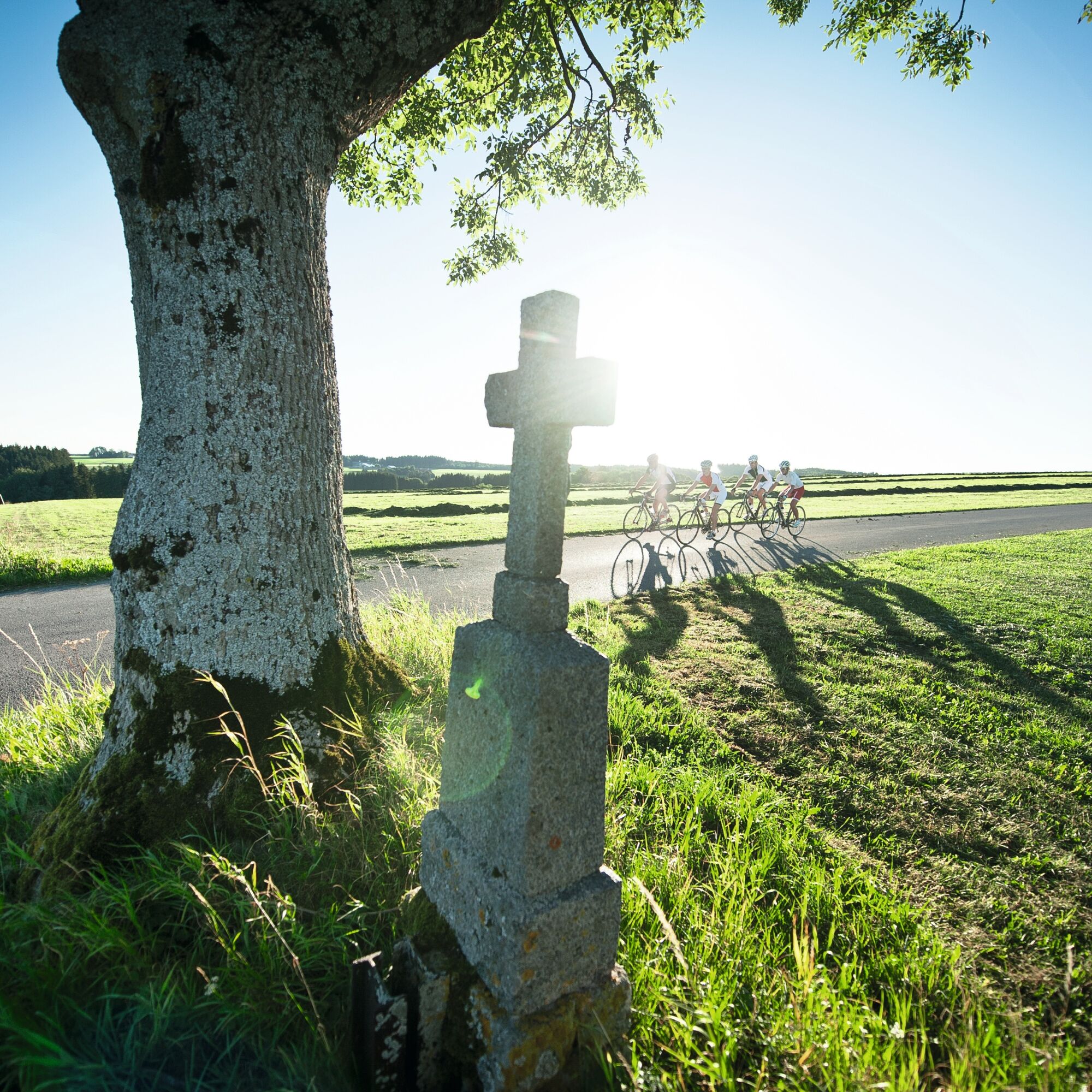
100 km of pure cycling fun and enjoyment through the Allgäu’s diverse landscapes. A spirit of athletic competition is a must on this tour.
Tehnologija
n.a.
Stanje
6 / 6
Pokrajina
6 / 6
Izkušnje
5 / 6
Najboljši letni čas
Jan
Feb
Mar
Apr
Maj
Jun
Jul
Avg
Sep
Okt
Nov
Dec
Skupna turneja
Zemljevid
Thannheimer Valley Loop
težko
Cestno kolo
99.94 km
Napaka
Zgodila se je napaka. Prosimo, poskusite znova.
Informacije o prihodu
Prihod

Alternatively, it can also be reached by car.

Javni prevoz
Easily accessible by train and bus.

Take the train to Immenstadt Station, the starting point of the tour.

Did you know?

All vacationers staying in Immenstadt receive the Mobil Pass Allgäu from their host. This pass allows you to take public transportation on this tour for free.

However, an extra ticket must be purchased to transport bicycles, and bicycle transport is not guaranteed during peak travel times.

Parkirišče

Parking is available at Viehmarktplatz, the Bauhofinsel parking lot, or other parking lots and underground garages in the city center.

Dodatne informacije in nasveti
Nasveti

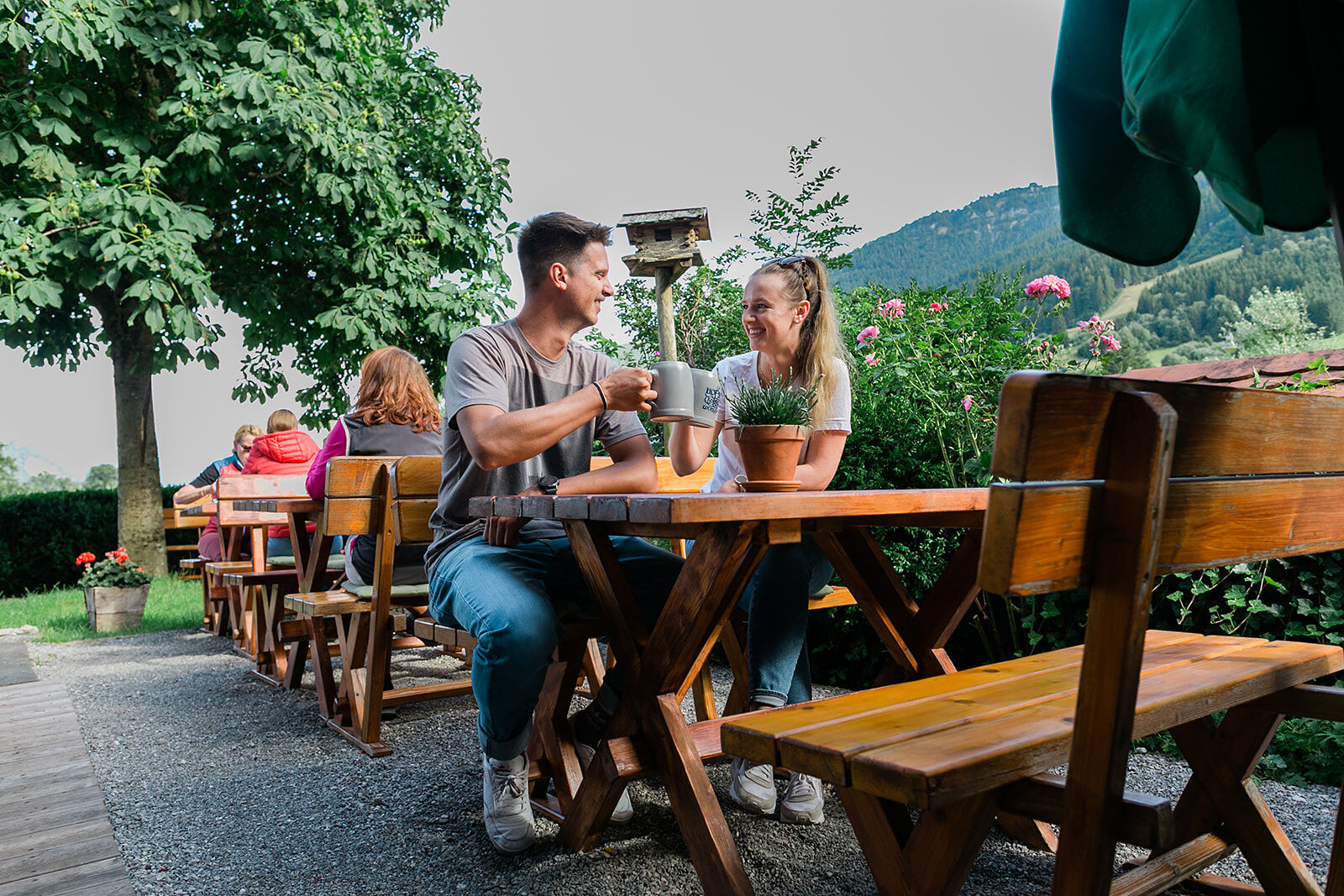
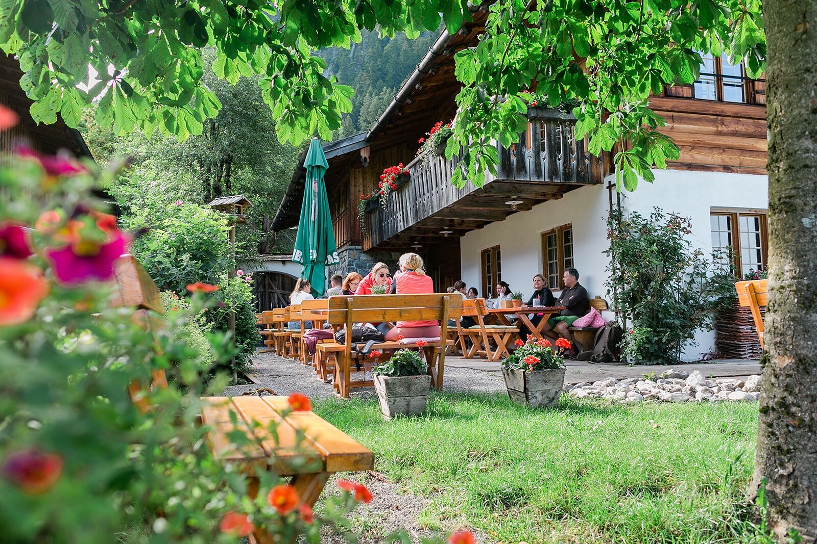
There are several places to stop for a break along the way. Halfway through the hike, for example, you can stop at one of the inns in Oy-Mittelberg or Nesselwang. On the way back, the Kanzelkiosk in Oberjoch offers a great view of the sunset.

Še ni pregledov
Napišite pregled

Mnenja pomagajo drugim uporabnikom pri izbiri naslednje pustolovščine. Ocenite samo izlet, ne pa tudi vremena ali prigrizka.

Izberite eno od zvezdic, da ocenite ogled
Slaba turneja
Šibka turneja
Povprečna turneja
Dobra tura
Odlična tura
Pohodništvo in sledenje

Pohodništvo in sledenje

prenos za iOSprenos za Android
Pohodništvo in sledenje
Zaradi več kot 550.000 predlogov izletov, podrobnih zemljevidov in intuitivnega načrtovanja poti je aplikacija obvezna oprema za vse ljubitelje narave.
bergfex