






Water bike route: WATER + TECHNOLOGY
Stopnja težavnosti: 3
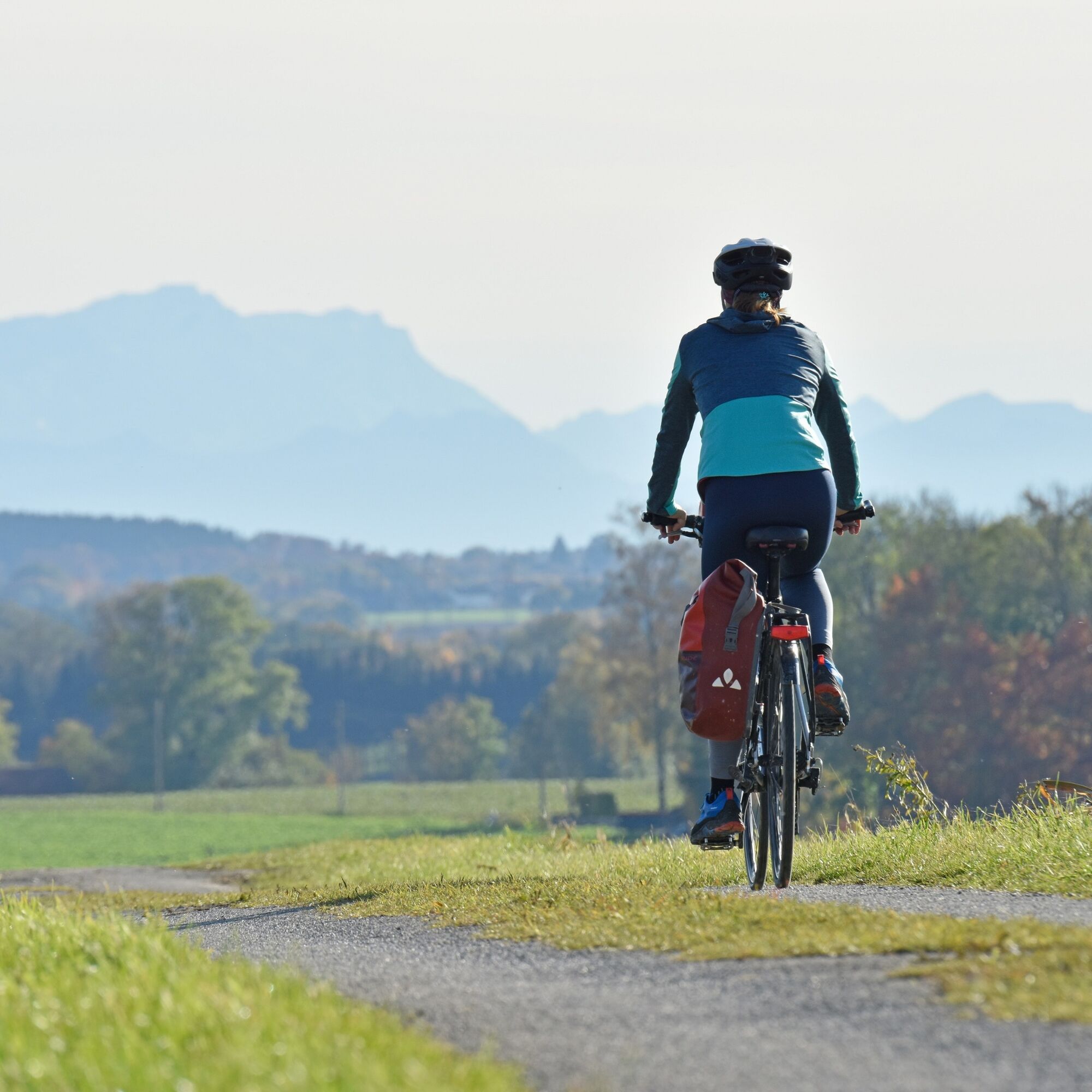
This ride offers cyclists much peace. The path winds through villages, fields, and woods. It goes from the Amper valley into the Maisach valley and further to the Glonn. In the middle section, one enjoys...
This ride offers cyclists much peace. The path winds through villages, fields, and woods. It goes from the Amper valley into the Maisach valley and further to the Glonn. In the middle section, one enjoys scenic hills. With good visibility, the view flies over the wide landscape to the Alps. The cultural highlight is the Furthmühle at the northern turning point of the ride. It is a technical monument and can also be experienced on group visits by prior appointment. Watch, smell, hear, touch, and taste. Even on the return journey, the tour serves typically Upper Bavarian scenes: farms and always worthwhile villages, each with a church topped by an onion dome. The loop includes only two gravel sections totaling two kilometers. The rest of the route is paved.

Fürstenfeldbruck Station – Mammendorf
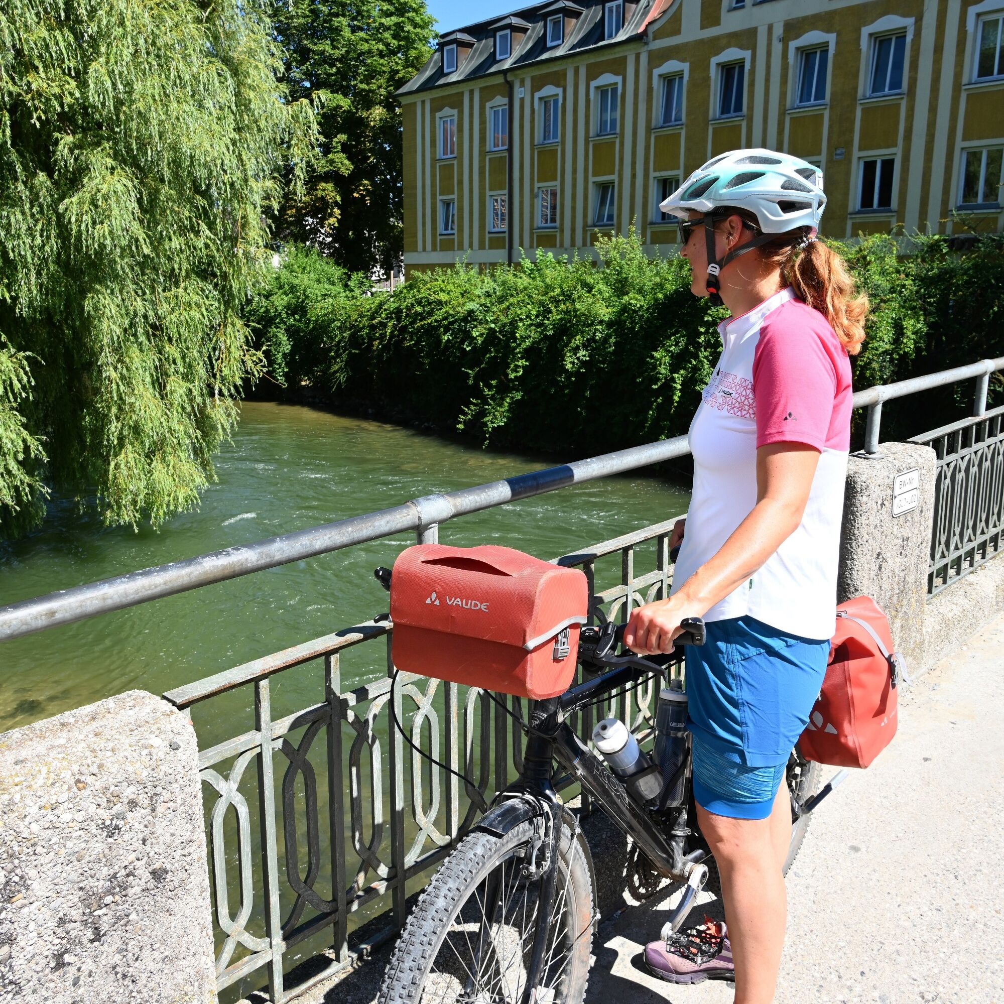
The ride to the north of the Fürstenfeldbruck district starts at the station of the district town. First, follow the bike signs labeled Zentrum (center). Cycle along Stockmeierweg, cross Oskar von Miller Straße, and head towards Münchner Straße (B2), 500 meters away. There, keep left, cross the Amper river, and ride through the old town. Follow the B2. It takes a right-left bend and crosses the B471. On its north side, turn left and follow the bike path along the B2 out of Fürstenfeldbruck. Pass the bathing facilities at Pucher Meer. The bike path switches to the south side of the B2 and heads towards Mammendorf.
Mammendorf – Unterschweinbach
At kilometer eight of the route, you reach a roundabout on the outskirts of Mammendorf. The bike route circles it in a semicircle and goes under the B2. Eichenstraße leads into the town. Continue straight ahead and then along Bahnhofstraße. Underneath the railway line by the Maisach river. Then follow the ascending Schlossbergstraße with its right curve. Outside of town at the intersection, turn left and follow Straße FFB 2 on the bike path. Two kilometers further the route meets Oberschweinbach. At the village edge, turn right at the roundabout into Klosterstraße. At the next houses, turn right, then left, then right again following Lerchenfeldstraße. This leads to the village edge where it continues right. After 1.3 kilometers, turn left and steer into the village of Unterschweinbach.
Unterschweinbach – Furthmühle
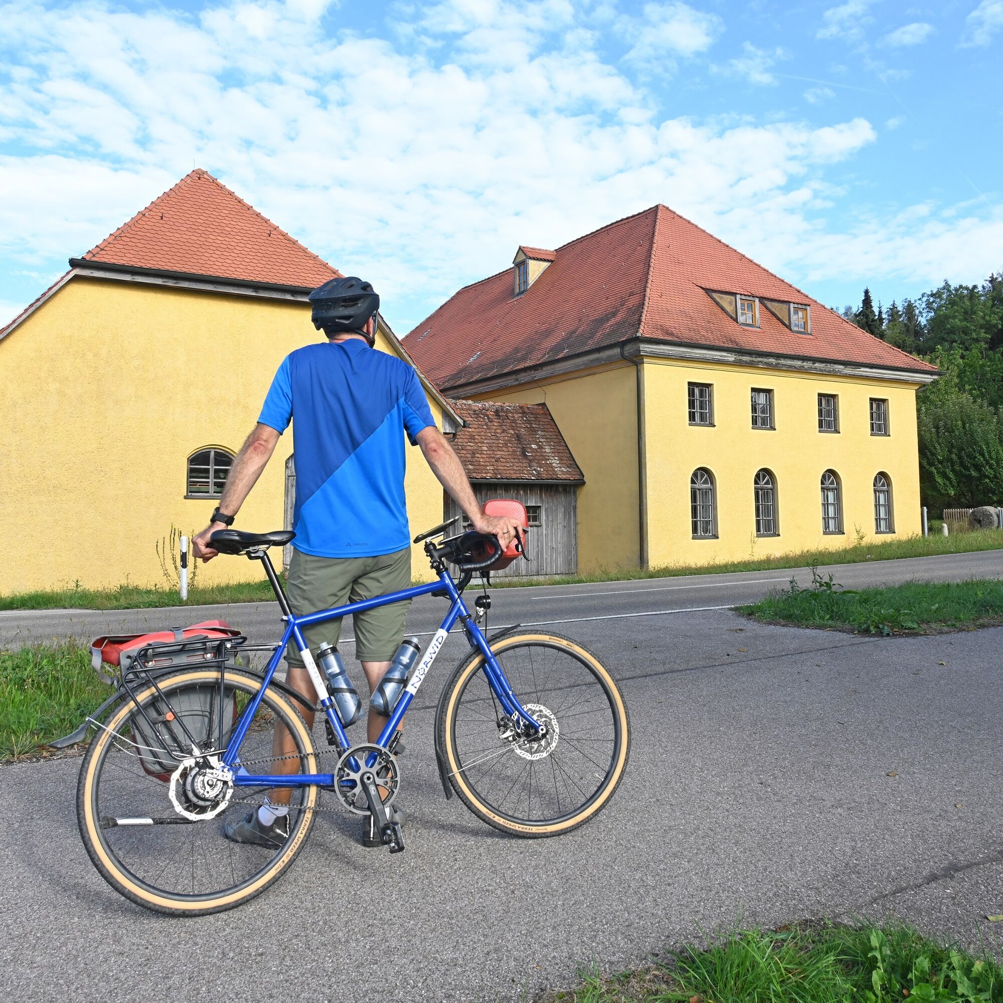
Bergstraße leads to the main road (FFB 1). Turn left there and after 200 meters turn right. Immediately leave Karstraße FFB 2 to the left onto Flurstraße. At the village edge, turn left, then right, pass the sports field, and head back into the countryside. Waldstraße leads into the Poigern settlement. Keep right in the center and continue on Kreisstraße (FFB 1). It leads to Egenhofen. Next, turn right and follow Dachauer Straße (FFB 14). This road curves left towards Furthmühle. You can book a guided tour in advance. The building is the last functioning grain mill in the Fürstenfeldbruck district. Upstairs is a saw-cutting mill. Each floor smells different: sometimes grain, sometimes metal, sometimes wood shavings. Conveyor belts, a rustic freight elevator, and a lovingly furnished mill shop round off the visit.
Furthmühle – Pischertshofen
The return route to Egenhofen is the same as outward and follows the bike path along Straße FFB 14. At the village edge, keep left and cycle into Dirlesried about two kilometers away. Continue straight ahead to Waltenhofen. Dorfstraße (FFB 2) leads left into Wenigmünchen. In the center, turn right and use Hohenwarter Straße. The route describes a curve, passing through the hamlets Dürrabuch and Kuchenried. There is a right-left bend upon reaching Englertshofen. Then turn left and head into Pischertshofen.
Pischertshofen – Malching
Kapellanger Straße leads to Maisacher Straße (FFB 1), where we turn left. At the town’s end, a bike path runs parallel. It leads to Stefansberg. The village is passed straight through. In the neighboring village Frauenberg, turn left into Kirchfeldstraße and at the church of Saint Mary turn right. The following descent leads into the Maisach valley. Turn left there, then immediately right, and enter Germerswang. Cross the river on the left in the village center as well as the railway line.
Malching – Fürstenfeldbruck Station
In Malching, turn left onto Bürgermeister Bals Straße. It leads straight onto Bürgermeister Müller Straße. Next, turn right into Pfarrer Dippel Straße and left into Dorfstraße. Use the bike path on Straße FFB 8 for 400 meters and then turn right. Lindach is the next village. To pass through it, stay on the main path, which makes a curve. Bike signs direct towards Pucher Meer. Those who want to swim or have a snack turn right at the next intersection. The main path continues straight on Malchinger Straße. This leads into Fürstenfeldbruck. A left bend leads to St 2054. Turn right there, cross B471, and head along B2 to the center. The remaining route is the same as the outward journey: a right-left bend to the Amper, then right on Stockmeierweg, following the bike signs back to the station.
Da
Da
Sun protection for skin and head is an indispensable companion on longer bike rides
A first aid kit, pump, and spare tube should never be missing.
Drink enough along the way and carry an emergency muesli bar.
Clothing should be layered and breathable. Wind and rain protection is important!
A bike helmet and sunglasses are recommended.
If applicable, charging cable for the e-bike.
Always check the lights, brakes, tires, and reflectors of your bicycle before starting!
Wear bright, reflective clothing in poor visibility (dusk, darkness, fog, etc.). Alternatively: vest or ankle bands with reflective strips.
Especially in autumn and winter, fallen leaves can hide possible unevenness, roots, stones, or holes in the path.
S-Bahn:
S4 stop "Fürstenfeldbruck" S3 stop "Mammendorf" S3 stop "Malching"Train:
RB 74 stop "Fürstenfeldbruck" RB 86, RB 87, RE 8, RE 9 stop "Mammendorf"Current fares and valid transport conditions can be found at www.mvv-muenchen.de.
3
Water stations along the bike route:
Recreation area Pucher Meer Outdoor pool at Freizeitpark Mammendorf Recreation area Mammendorfer See Glonn valley Water-powered saw in the FurthmühleExperience points along the bike route:
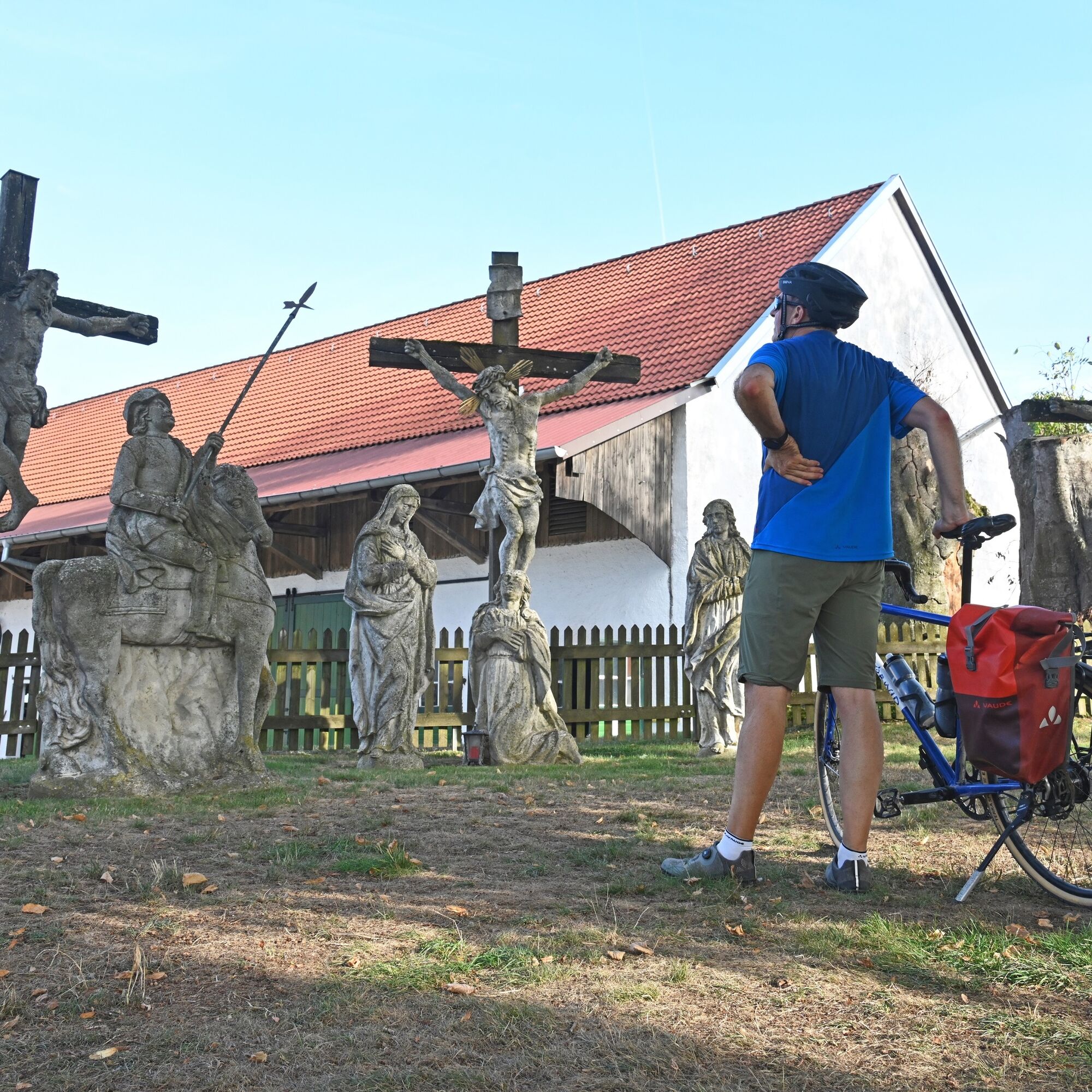
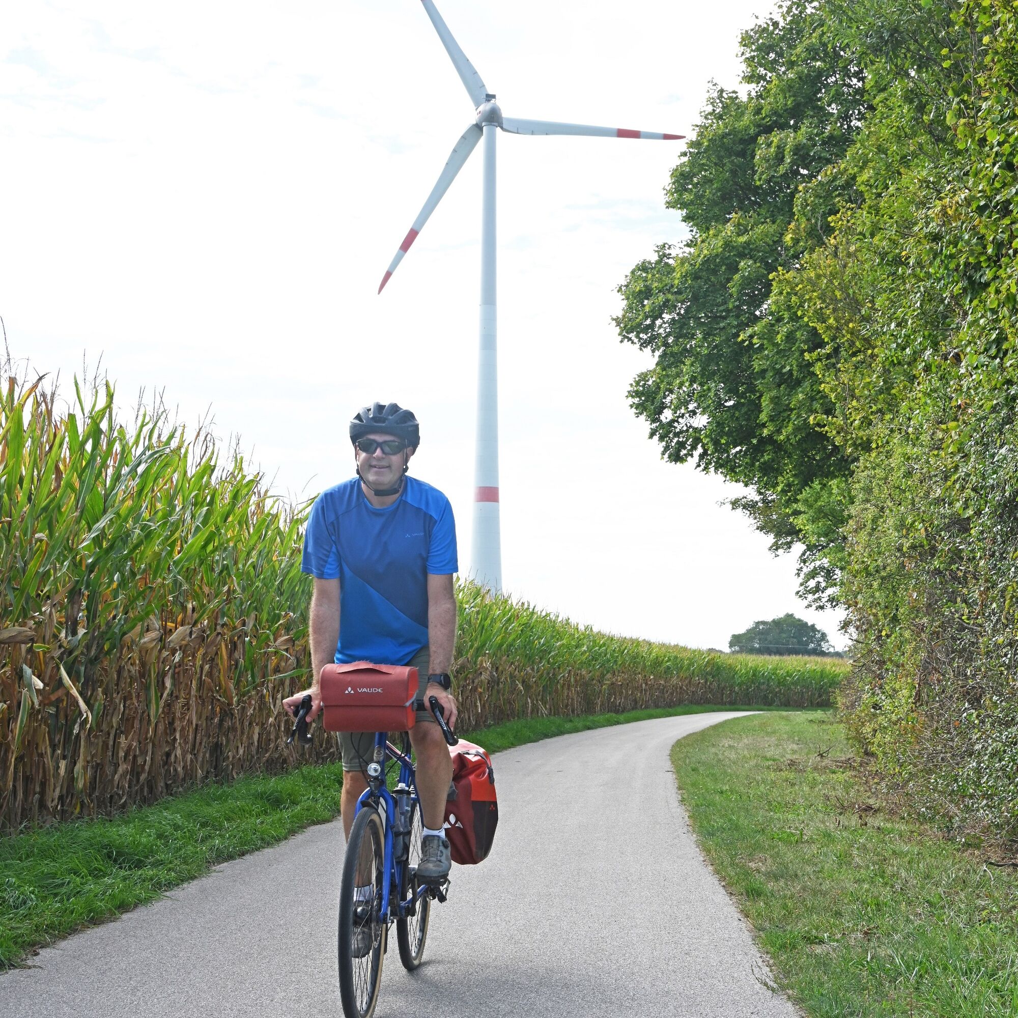
Emperor’s column Edignal Linden tree Wind turbine Mammendorf Klostergut Spielberg Calvary group Wenigmünchen Alpine panoramaE-bike charging stations along the bike route:
Important: You usually need your own charging cable!
The Pucher Meer is a great place to rest at the end. The lake lies on the northern edge of Fürstenfeldbruck directly on the route.
Pridobite vpogled
Vedno v živo na mestu z več kot 9.500 spletnimi kamerami. bergfex Kot uporabnik Pro si lahko zdaj ogledate ustrezne spletne kamere za številne izlete v aplikaciji izleti iz. Tako si lahko neposredno ogledate trenutne razmere.
Priljubljeni izleti v okolici
-
Munich-Augsburg bike path (MAR)
srednjaKolesarjenje na dolge razdalje 82.3 km -
Water Bike Route: WATER + MOOR
srednjaKolesarjenje 43.8 km -
Skulpturenpfad
svetlobaPohodništvo 4.42 km -
Waldwanderung ums Windrad
svetlobaPohodništvo 3.28 km -
kml_47 kml_48 kml_24 kml_46 kml_45
srednjaTematska pot 5.85 km -
AuszeitWandern: Eichenau-Emmeringer Leite-Fürstenfeldbruck
svetlobaPohodništvo 13.2 km -
Schatzsuche
svetlobaMountainbike 8.63 km -
Spaziergang durch den Altowald
svetlobaPohodništvo 3.48 km -
AuszeitWandern: Fürstenfeldbruck - Rothschwaiger Forest - Buchenau
srednjaPohodništvo 15.2 km -
7KloesterWeg West
Kolesarjenje 43.5 km

Pohodništvo in sledenje


Ne zamudite ponudb in navdiha za naslednje počitnice
Vaš e-poštni naslov je bil dodan na poštni seznam.





