






Large Pfronten valley route
Stopnja težavnosti: 3

Route description:
From Pfronten Heiltern, follow the path along the Vils towards the Vilstal. There is a right turn into the district of Pfronten Halden. Follow the path to Pfronten Röfleuten. After the...
Route description:
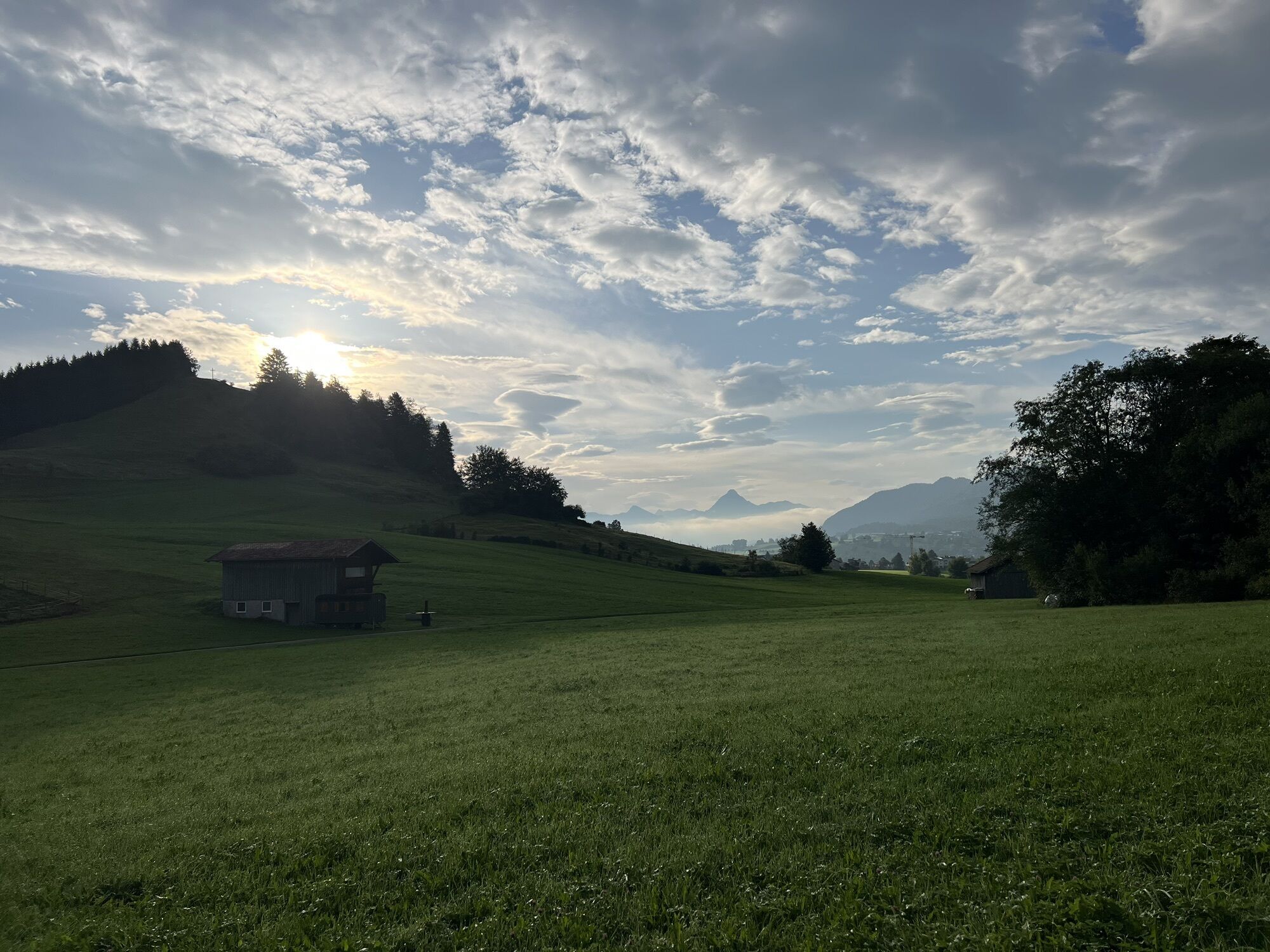
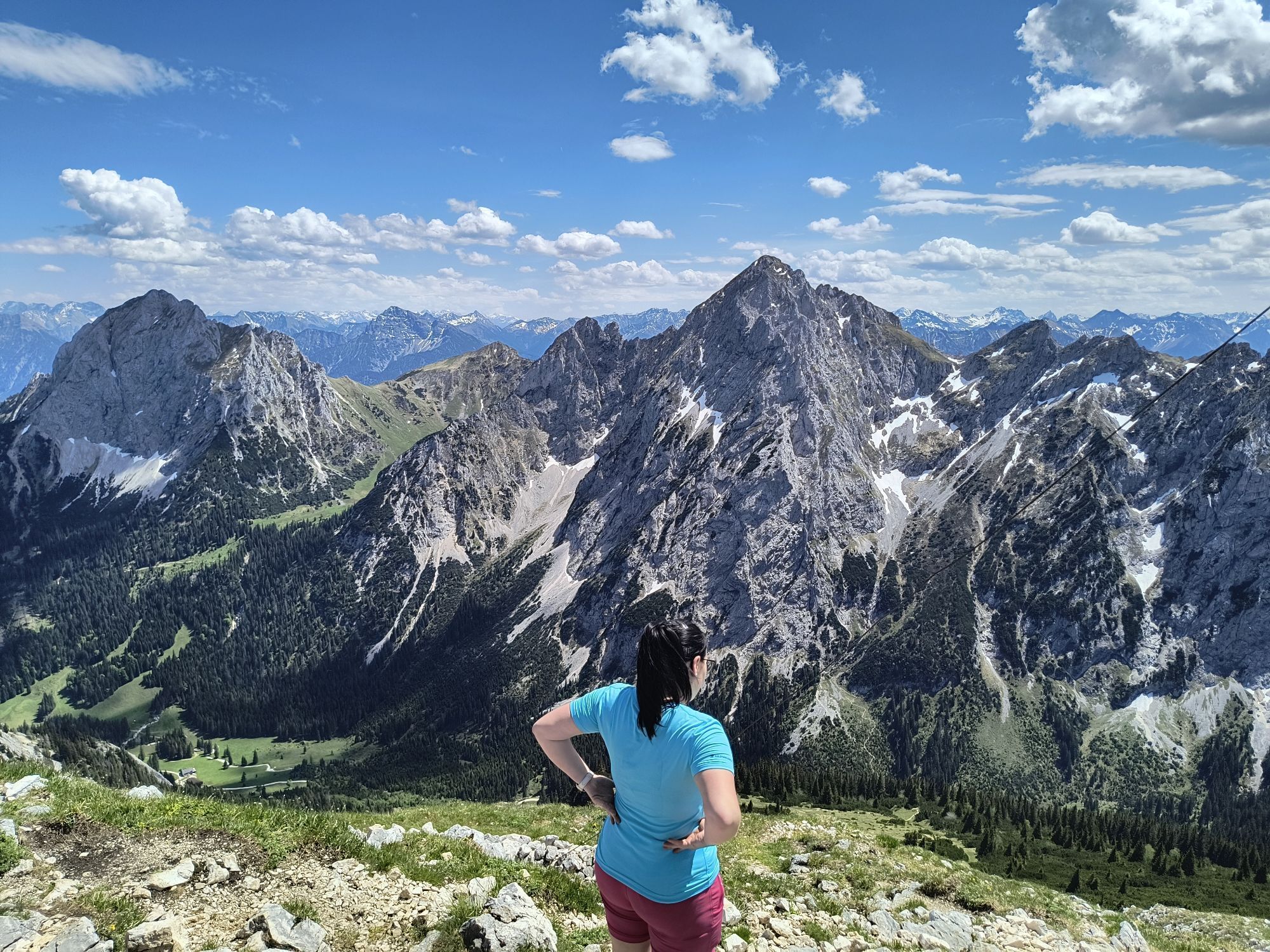
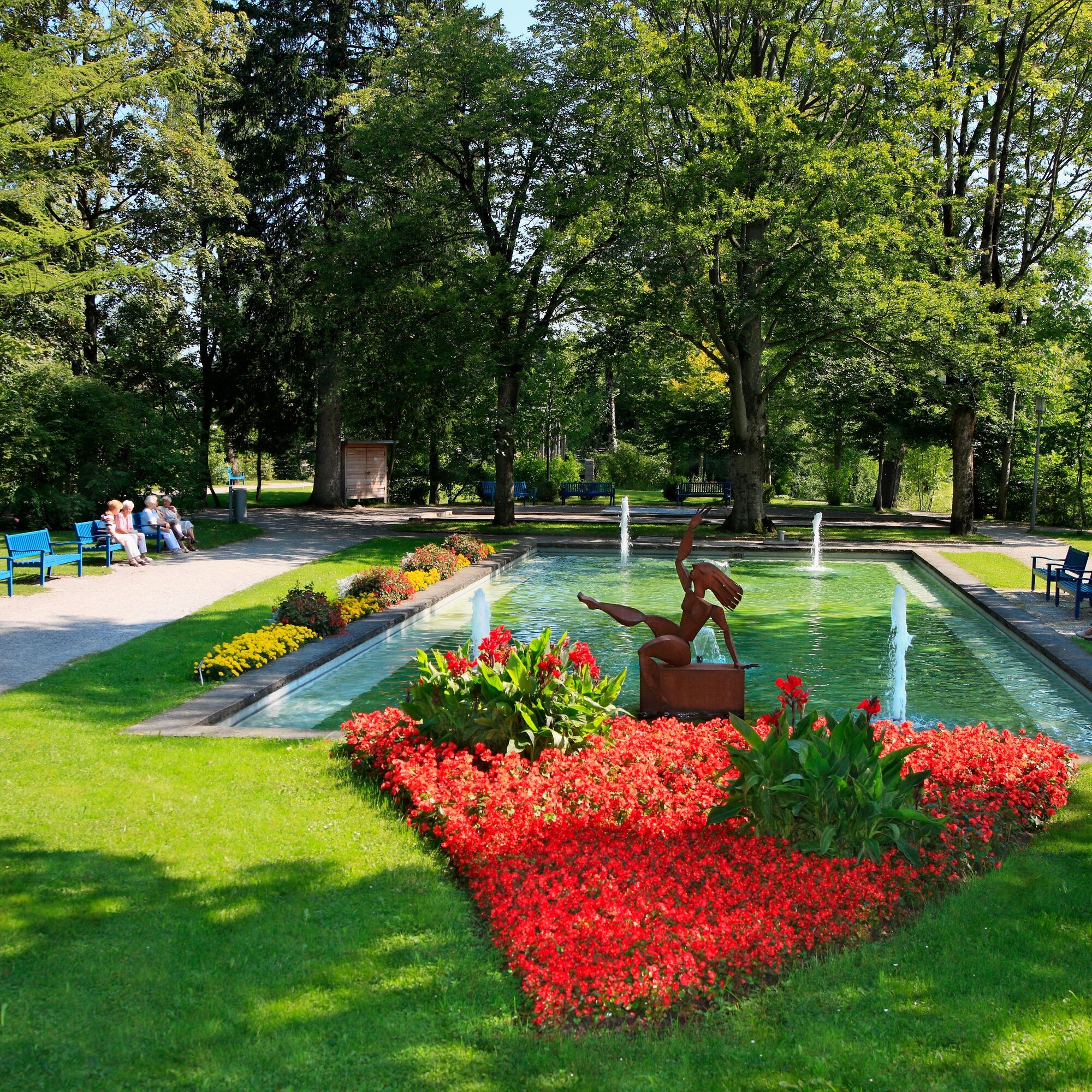
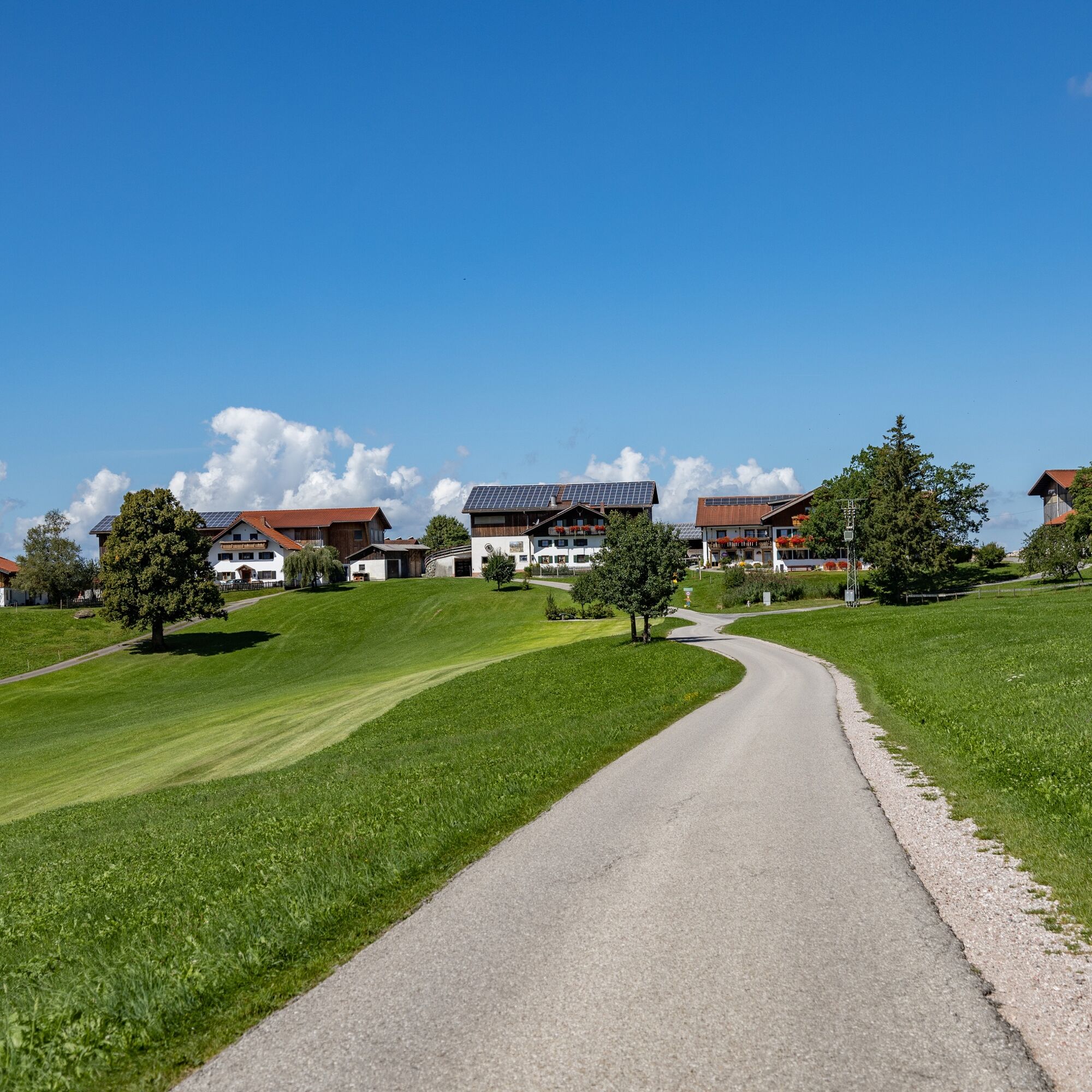
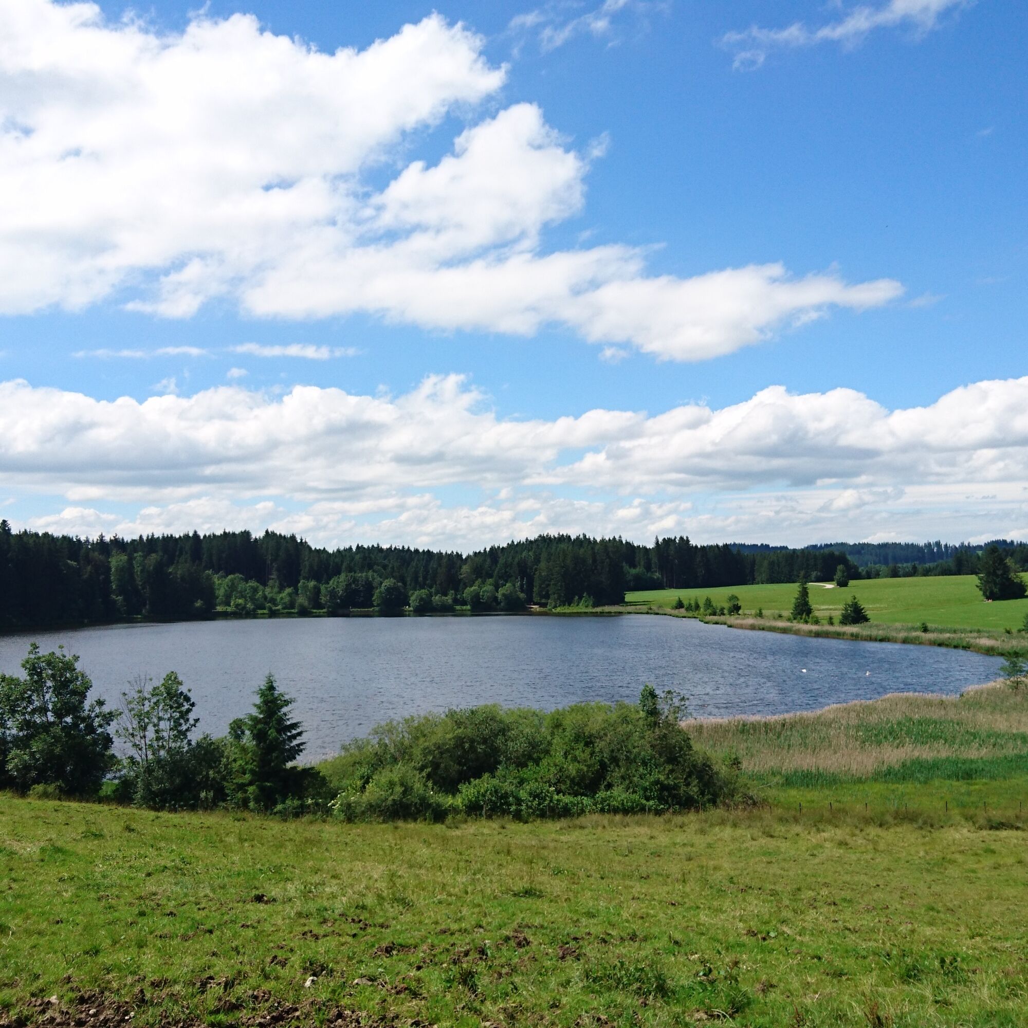
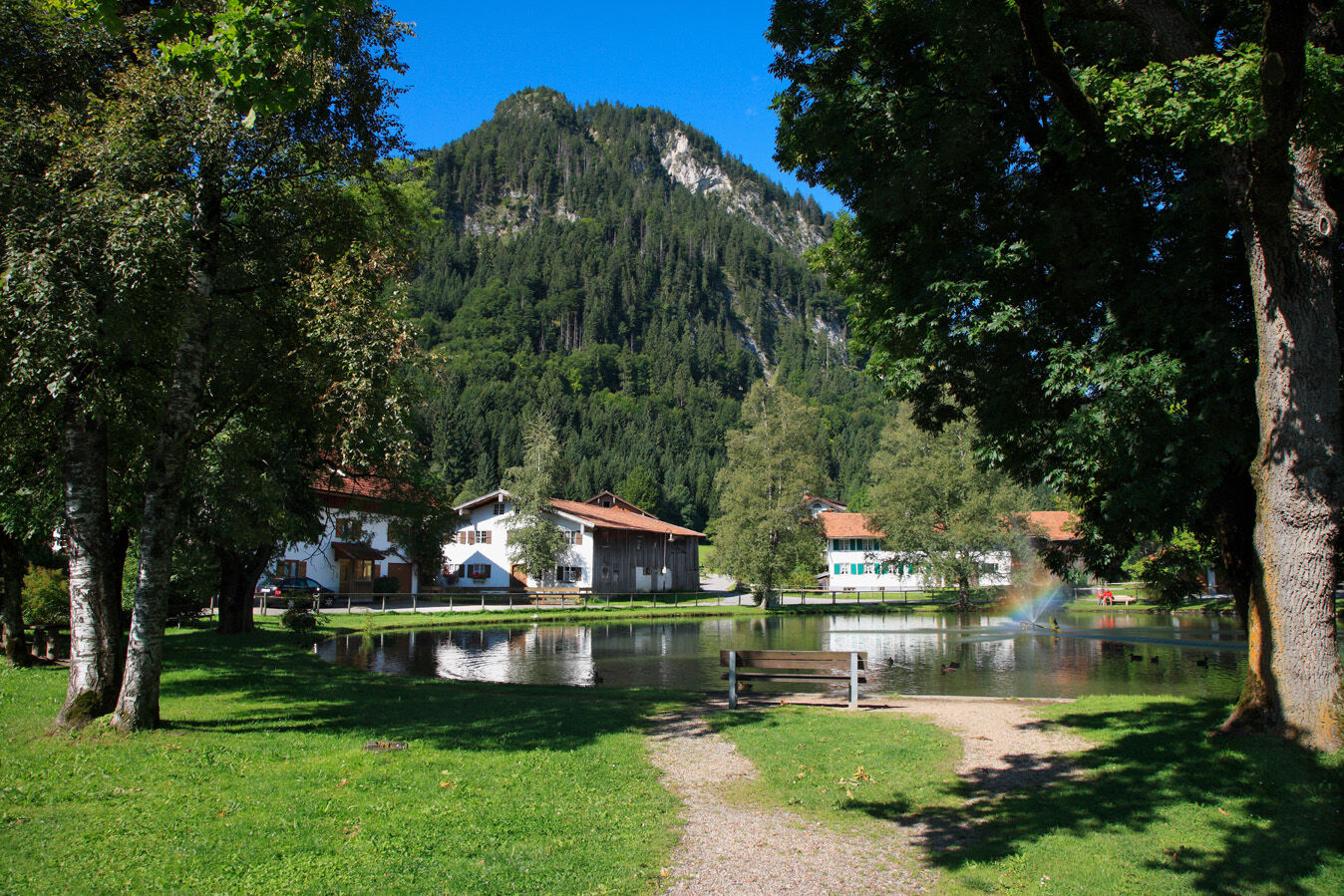
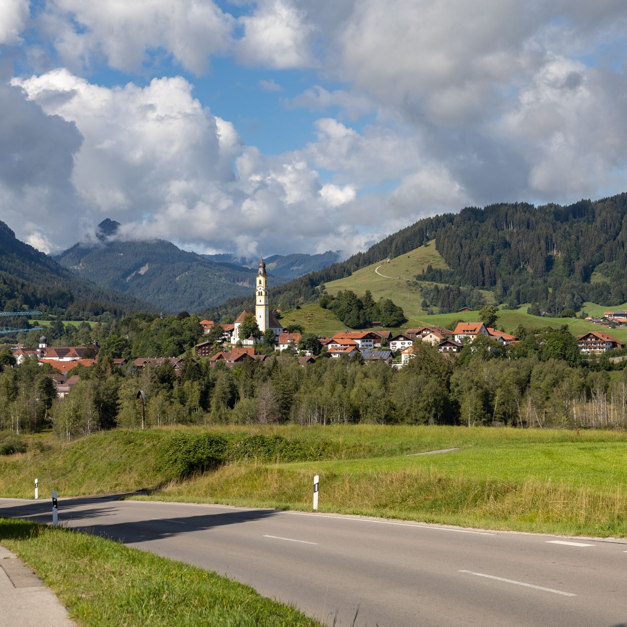
From Pfronten Heiltern, follow the path along the Vils towards the Vilstal. There is a right turn into the district of Pfronten Halden. Follow the path to Pfronten Röfleuten. After the new development area, there is a large parking lot. To the left of it, the path leads further towards Pfronten Kappel. Cross the federal road and follow the signs towards Kögelweiher. From there, continue to Schweinegg and then cycle on towards Zell. From Zell, follow the cycle path back to Pfronten-Meilingen. From the Pfronten district Meilingen, you will return to your starting point at Pfronten Heitlern.

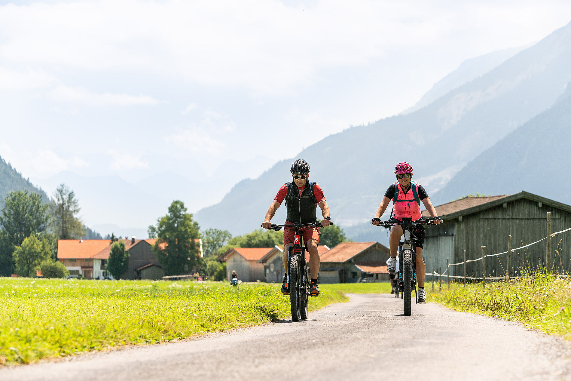

Asphalt and gravel
Da
B309
Pfronten railway line, local public transport bus
Ice rink Pfronten-Heitlern
3
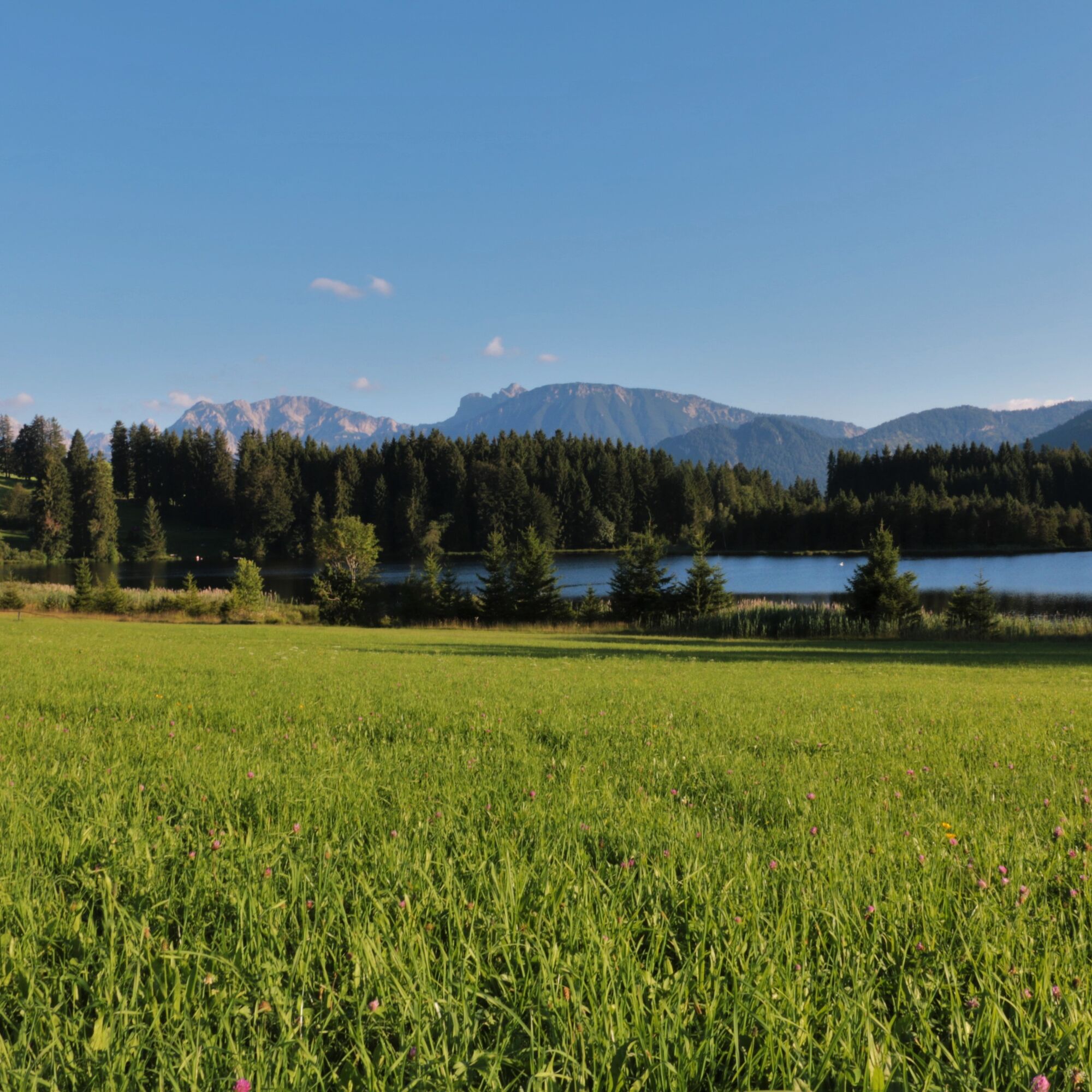
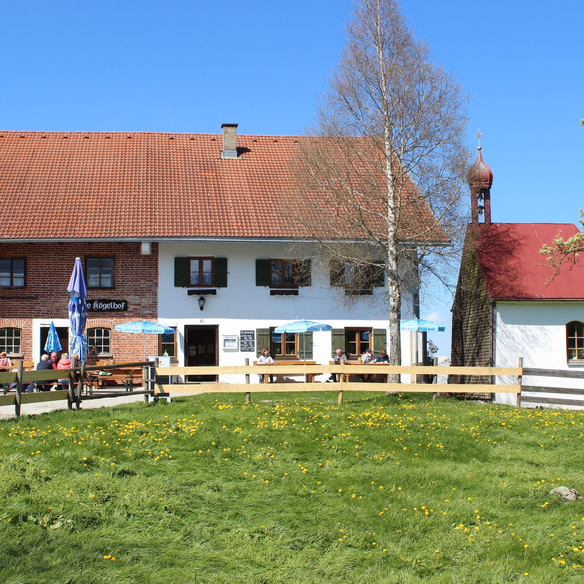
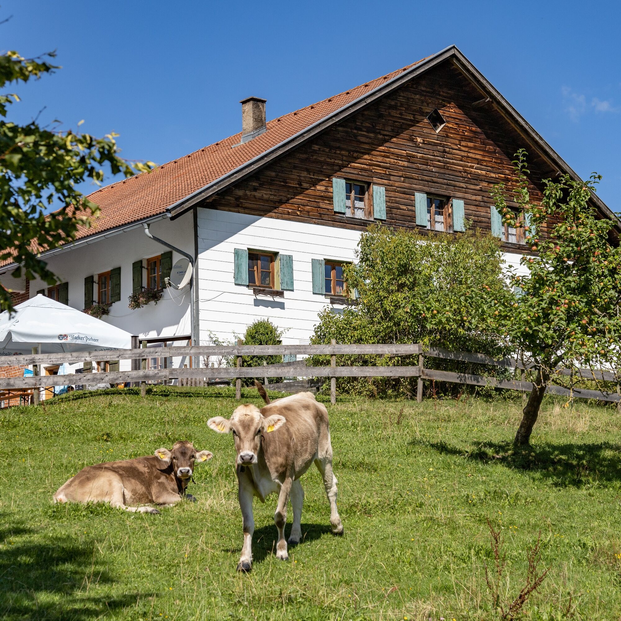
Along the way, a detour for a stop at the Kögelhof and a bathing spot at the Kögelweiher

Spletne kamere s turneje
Skizentrum Steinach / Pfronten
Pfronten-Halden / Hotel Zugspitzblick
Pfronten - Boutique Hotel Blaue Burg Falkenstein
Nesselwang - Alpspitzbahn Mittelstation
Pfronten - Ostlerhütte
Eisenberg - Burgruine
Seeg - Honigdorf
Nesselwang - Alpspitzbahn Sportheim Böck
Nesselwang - Alpspitzbahn Talstation
Füssen Appartementhotel Seespitz
Breitenbergbahn - Pfronten
Pfronten - Skizentrum
Hopferau Burgruinen Hohenfrey- und Eisenberg
Restaurant Schwaltenweiher - Seeg
Pridobite vpogled Vedno v živo na mestu z več kot 9.500 spletnimi kamerami. bergfex Kot uporabnik Pro si lahko zdaj ogledate ustrezne spletne kamere za številne izlete v aplikaciji izleti iz. Tako si lahko neposredno ogledate trenutne razmere. Priljubljeni izleti v okolici
- 4.7
Around Weißensee
svetlobaPohodništvo 6.12 km - 5.0
Hiking tour to Breitenberg
težkoPohodništvo 15.6 km - 4.7
Forggensee round
srednjaKolesarjenje 32.5 km - 4.9
Gemeinde Grän, Tirol/Österreich Aggenstein Rundtour über Höhenweg
srednjaPohodništvo 9.84 km - 4.8
Do koče Bad Kissinger prek planinske poti Gräner Höhenweg
srednjaPohodništvo 13.0 km - 4.7
Panorama route to the Ostlerhütte
srednjaPohodništvo 5.11 km - 4.6
Mountain hike to the Aggenstein
težkoPohodništvo 15.3 km - 4.0
Reuterjeva kad
srednjaPohodništvo 9.03 km - 4.7
Von Obergschwend auf Wertacher Hörnle
srednjaPohodništvo 10.0 km - 4.0
Velik mulj
srednjaPohodništvo 5.53 km
Pohodništvo in sledenje


Ne zamudite ponudb in navdiha za naslednje počitnice
Vaš e-poštni naslov je bil dodan na poštni seznam.





