







Route into Rechtmurgtal
Stopnja težavnosti: 3
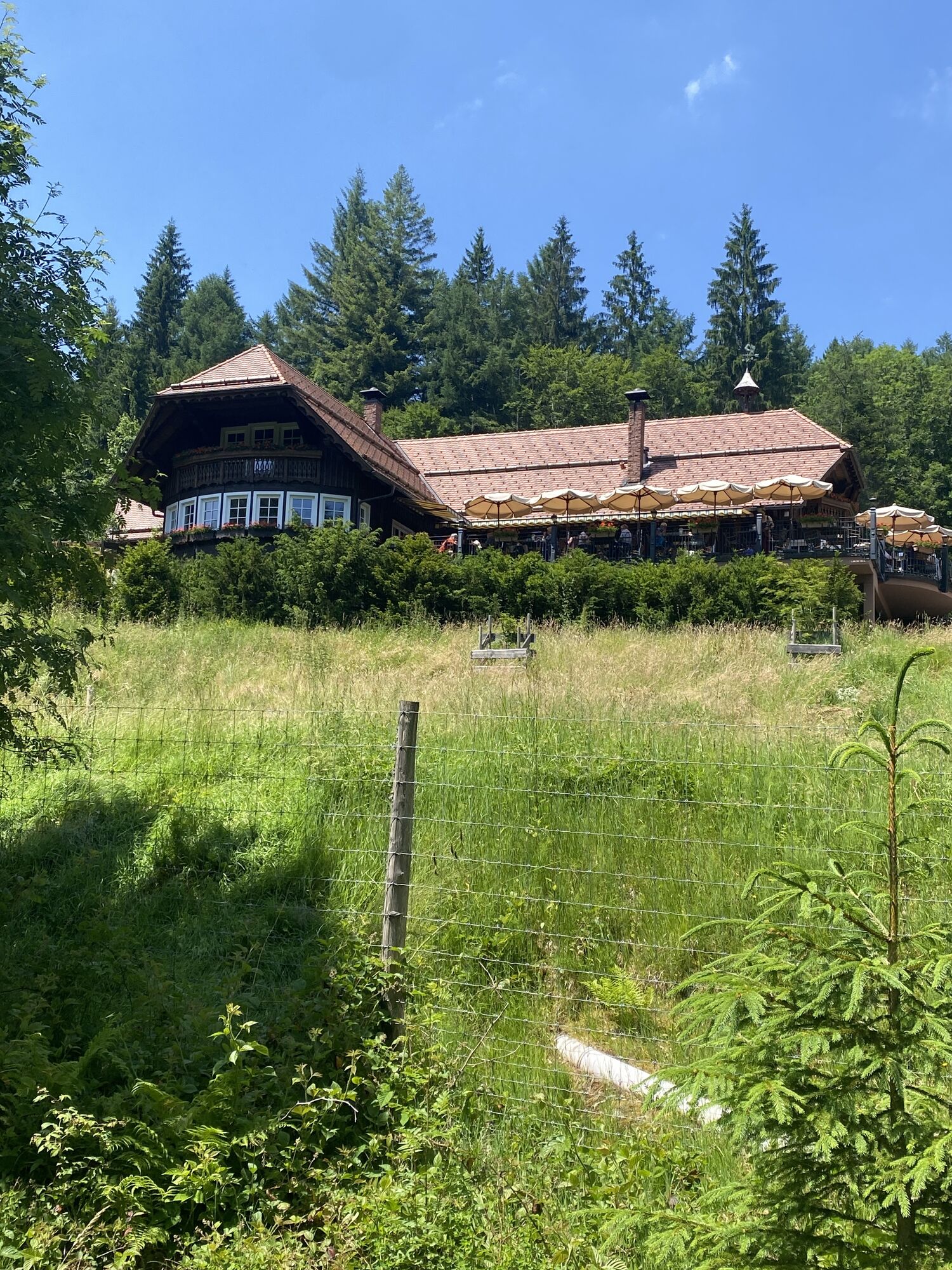
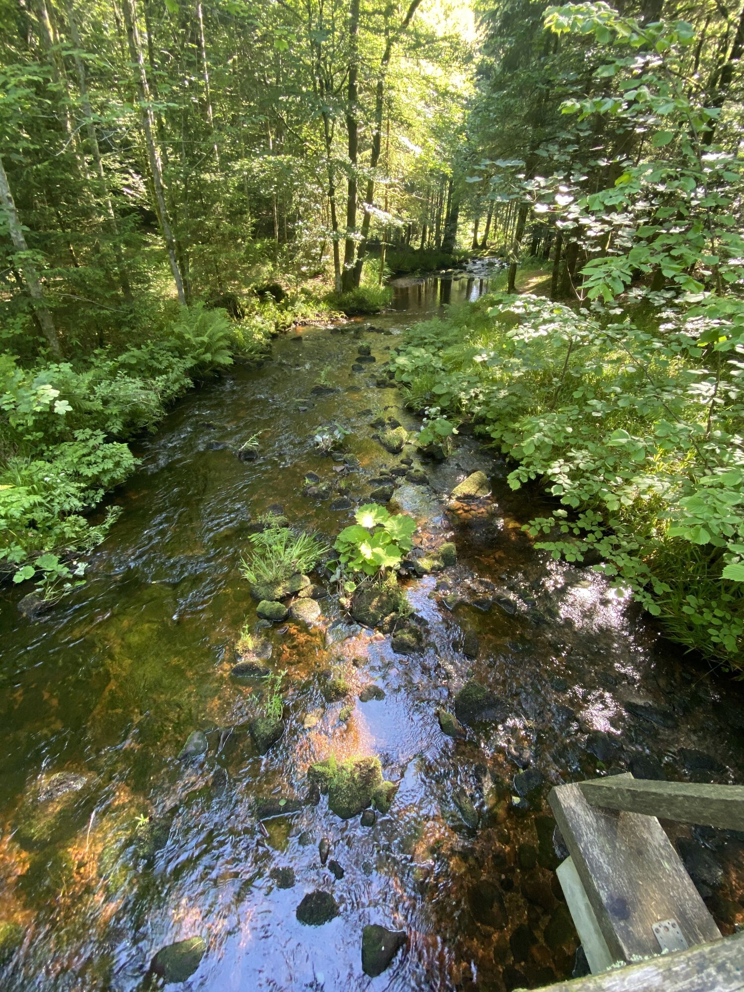
The start and finish of this route is the Glashütte Buhlbach. First, follow the hiking signs to the Forellenhof Buhlbach with its own fish farm. Upon arrival, leave the marked trail network and follow...
The start and finish of this route is the Glashütte Buhlbach. First, follow the hiking signs to the Forellenhof Buhlbach with its own fish farm. Upon arrival, leave the marked trail network and follow the slightly ascending paved path to the right. After about one kilometer uphill, you will arrive at a fork, which you leave to the left. At the next junction, leave the Wolfighütte on the right and continue straight ahead. Again, it goes uphill for about one kilometer to the next intersection at the Köpflesbauerndurchlasshütte. Here, turn left and cross the bridge over the Rechtmurg. At the next fork, the last ascent of the route follows to the right. In frost, bizarre icicles form on the cliff overhangs lining this section. After one kilometer, you reach the Hahnenhütte. Enjoy a rest here in the rustic shelter on the mountain saddle between Rechtmurgtal and Buhlbachtal. The winter hiking trail now goes downhill via the Lichtengehrenweg and impresses with its magnificent panoramic view. After just under two kilometers, you reach the Lichtengehrenhütte. Cross the next junction straight ahead. After another 1.5 kilometers, you reach the outskirts of Buhlbach. Follow the Buhlbachsaue street briefly and turn left after the first houses. A narrow bridge leads over the Rechtmurg. Continue left along the Rechtmurgstraße back to the starting point of the route.

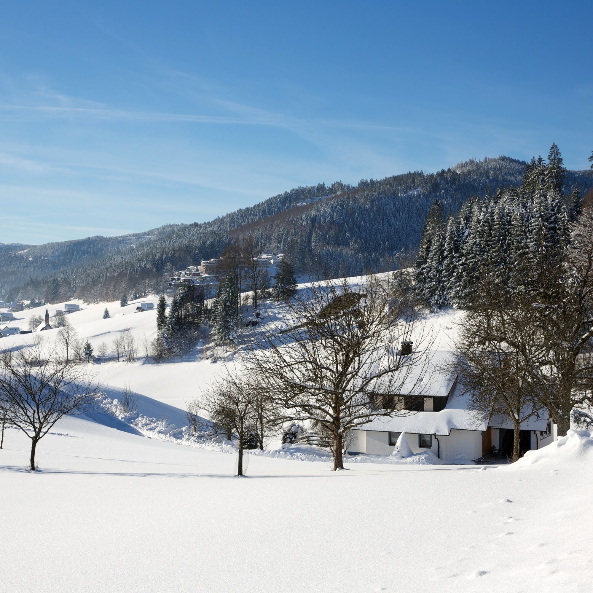
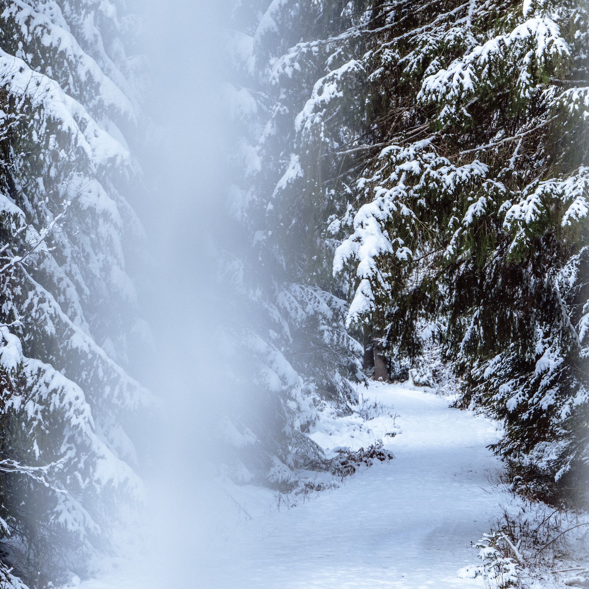

There may be risk of slipping and ice on all cleared forest paths.
The hiking information center offers ice claws for rent. More information at www.baiersbronn.de/verleih
The winter hiking trails are cleared from a snow depth of 10 cm.
Please check in advance the current trail closures or at the Baiersbronn Hiking Information Center to see if the route is open. Tel.: +49 7442 8414-66.
In the national park area, there are seasonal trail closures in the wildlife protection areas, especially in winter. In particularly sensitive areas, these may continue beyond winter. In case of closure, a detour is signposted.
Winter is a quiet time for nature and animals. For an enjoyable winter sport experience, we kindly ask you to support us by observing the rules of conduct, staying on the paths, and avoiding noise.
Bus: Glashütte Buhlbach stop
Parking lot Glashütte Buhlbach
3
At the end of the route, you can stop for a meal at the Forellenhof Buhlbach. It's worth it!
Spletne kamere s turneje
Pridobite vpogled
Vedno v živo na mestu z več kot 9.500 spletnimi kamerami. bergfex Kot uporabnik Pro si lahko zdaj ogledate ustrezne spletne kamere za številne izlete v aplikaciji izleti iz. Tako si lahko neposredno ogledate trenutne razmere.
Priljubljeni izleti v okolici
-
4.8
Kniebiser Heimatpfad - Wandern mit Genuss
svetlobaPohodništvo 9.07 km -
3.9
Schnapsbrunnenweg 2
srednjaPohodništvo 12.8 km -
4.9
Ottenhöfen - Eichkopf - Karlsruher Grat
srednjaPohodništvo 13.7 km -
4.2
Sankenbachwasserfälle und Glasmännlehütte am Stöckerkopf
srednjaPohodništvo 12.8 km -
4.5
Naturgewalten-Tour
Pohodništvo 15.6 km -
4.7
Bannwald-Tour
Pohodništvo 13.3 km -
4.8
Bad Peterstal-Griesbach - Himmelssteig für "Höhenverliebte"
težkoPohodništvo 10.3 km -
4.6
Bad Rippoldsau - Cafe & Restaurant Zum Schlüssel - Klösterle - Burgbachwasserfall
srednjaPohodništvo 11.2 km -
5.0
Kniebis-Sankenbachwasserfälle-Sankenbachsee
srednjaPohodništvo 7.98 km -
4.8
Ottenhöfen - Mühlenweg
srednjaPohodništvo 13.4 km
Pohodništvo in sledenje


Ne zamudite ponudb in navdiha za naslednje počitnice
Vaš e-poštni naslov je bil dodan na poštni seznam.





