







11 Schömberg Explorer Route, Wanderglück Schömberg
Stopnja težavnosti: T1
Start Bieselsberg, town centre.
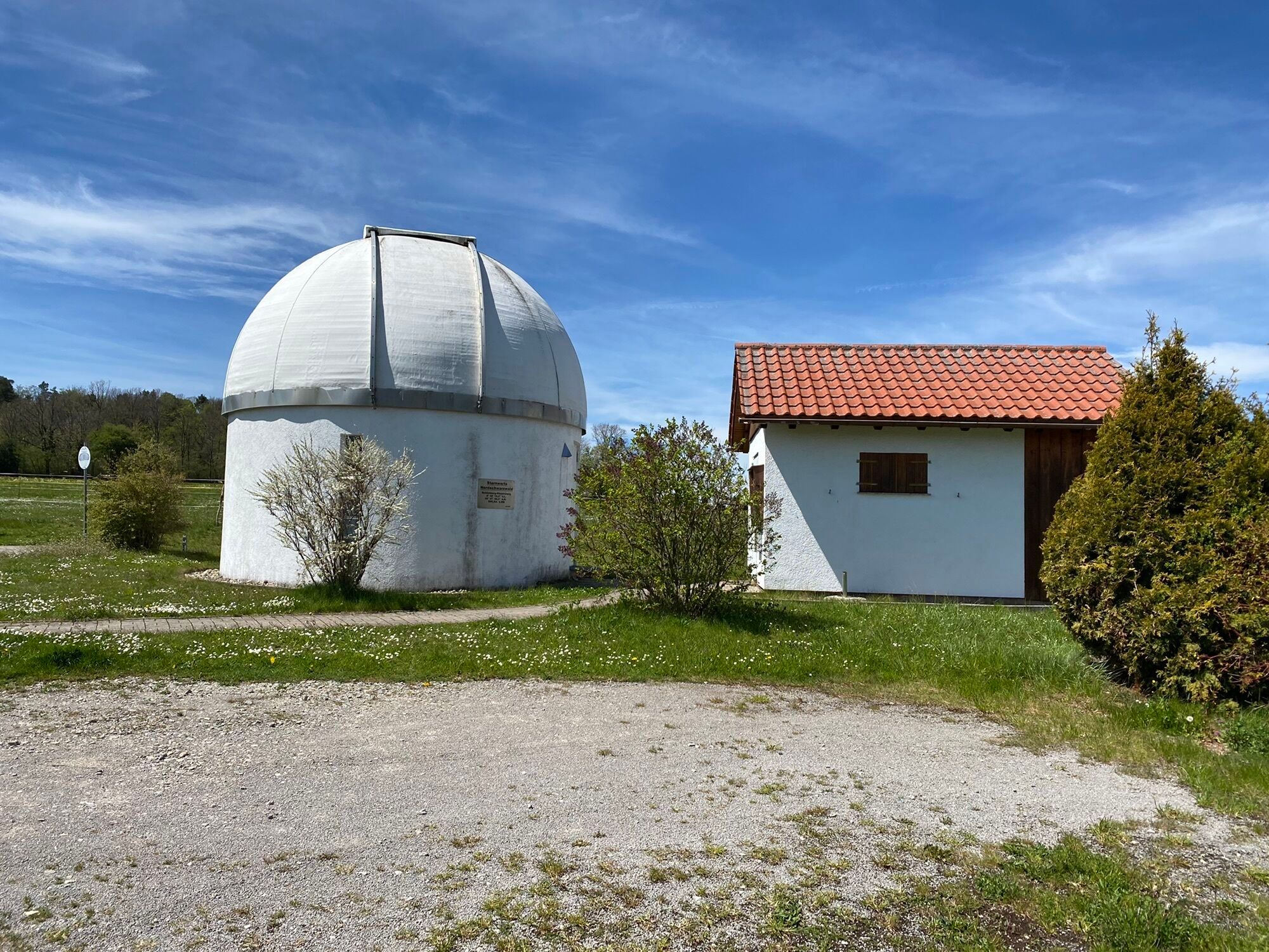
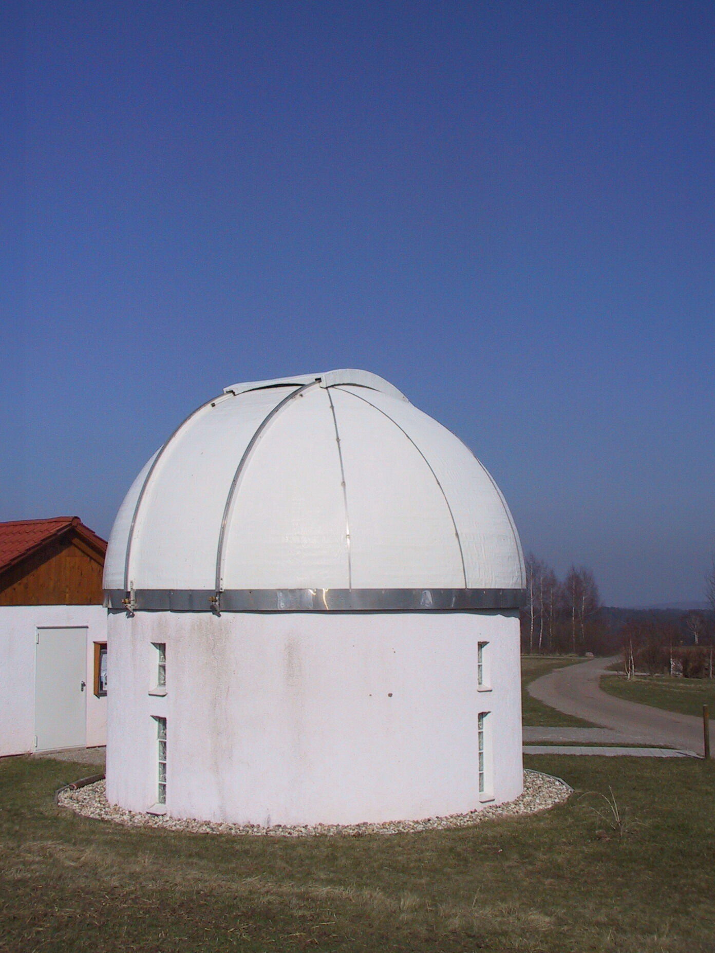
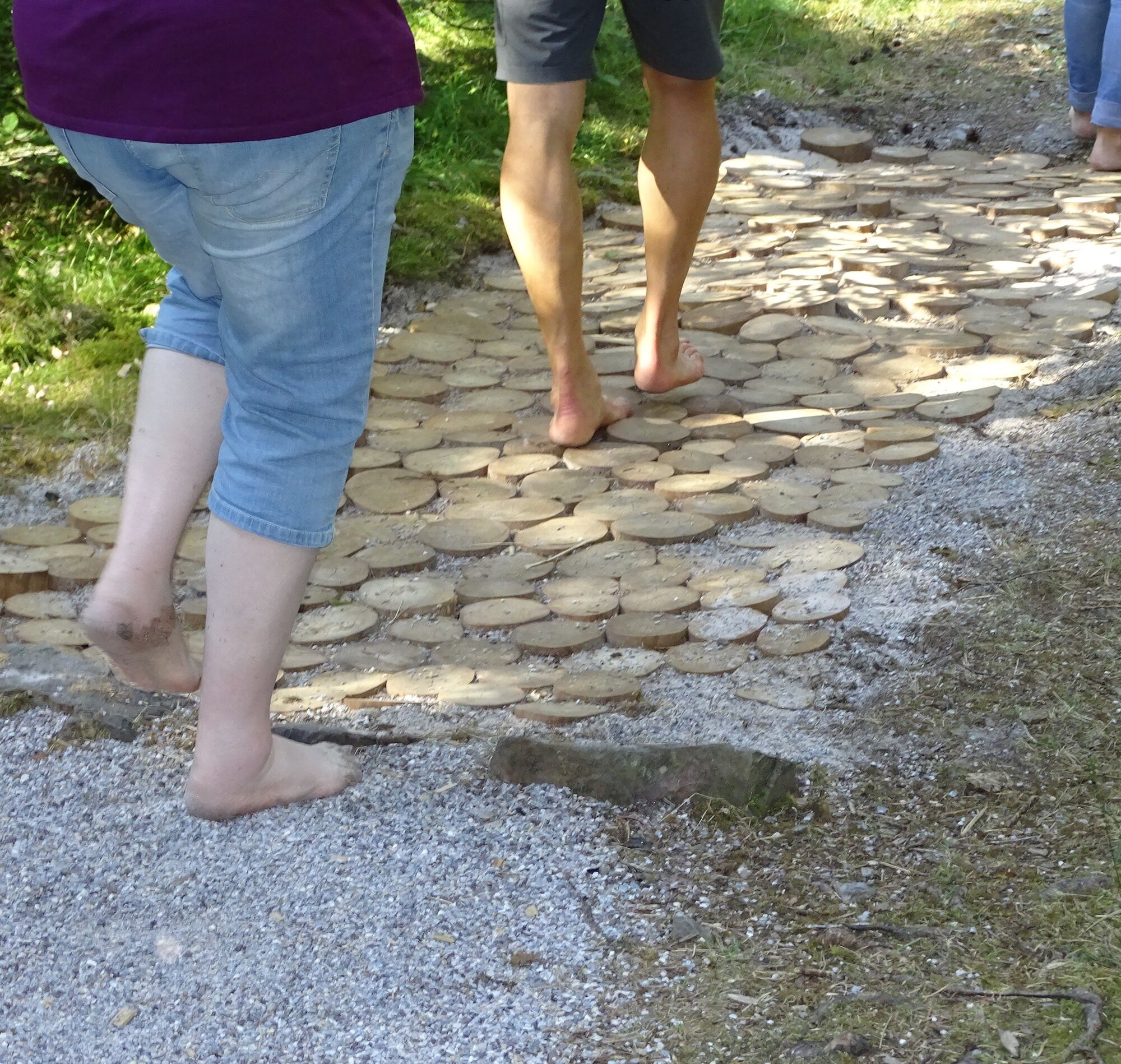
This route leads us past the Bieselsberg Observatory along Maisenbacher Weg to Mahdsbrunnen. Opposite the road, a detour to the barefoot path is worthwhile. Via the Allmandhütte...
Start Bieselsberg, town centre.
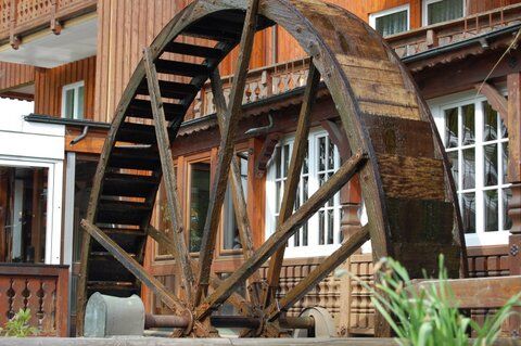
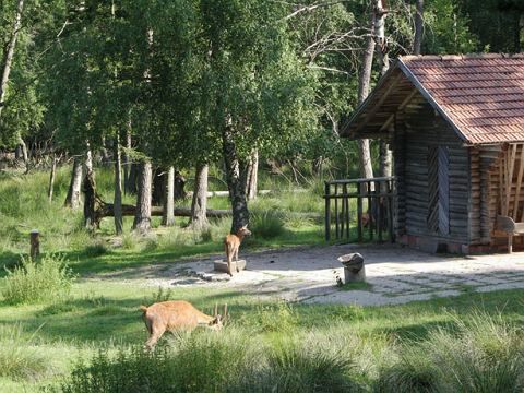
This route leads us past the Bieselsberg Observatory along Maisenbacher Weg to Mahdsbrunnen. Opposite the road, a detour to the barefoot path is worthwhile. Via the Allmandhütte we reach Schwarzenberg and follow the Hasensteig down into the Kapfenhardter mill valley, where a wildlife enclosure awaits us. Past the mills, we hike up the Mühlberg, past the forester's house, back to Bieselsberg.

This route has no separate signage but follows the well-marked network of trails of the Black Forest Association.
Sequence of location names (post names) of the Black Forest Association:
Brunnenstub (yellow diamond) - Observatory - Zweibronnen (branch to the barefoot path) - Eberhardts-Reute - Cemetery - Village meadows - Schwarzenberger See - Hasenweg (blue diamond) - Schwarzenberger Sawmill - Jägerhof (yellow diamond) - Kapfenhardter Steige - Upper Mill - Lower Mill - Mühlberg - Kohlplatte - Brunnenstub
Da
Sturdy footwear, weather-appropriate clothing.
In the forest, typical forest hazards such as uneven ground, roots, broken branches, etc. must always be expected. Pay particular attention to the ground on paths and steep terrain while hiking, and deliberately place one foot in front of the other. Hiking poles are recommended for hikes with significant altitude differences. Closed paths and forest areas must not be entered! Respect the habitats of wild animals and stay on the paths.
From the north: Via A8 from Karlsruhe towards Stuttgart, exit at Pforzheim West, continue via Büchenbronn and Salmbach to Schömberg-Langenbrand. At the roundabout turn left towards Schömberg. Continue via Schwarzenberg to Bieselsberg.
From the east: A8 Stuttgart towards Karlsruhe, exit at Renningen. Drive on L295 to Weil der Stadt. Continue via Bad Liebenzell towards Schömberg. After the second sharp S-curve turn right to Bieselsberg.
From the south: A81 from Singen towards Stuttgart, take exit Herrenberg and on L296 via Deckenpfronn and Calw to Hirsau. Continue on L463 to Bad Liebenzell. In the town centre turn left towards Schömberg. After the second sharp S-curve turn right to Bieselsberg.
Destination input: Turnstraße, 75328 Schömberg-Bieselsberg
Express bus 743 between Pforzheim, Engelsbrand, Schömberg, and Bieselsberg
Call bus BL2 between Unterreichenbach and Schömberg: Call buses can be booked by phone at 07051/96 88 55, via app (VGC app or bwegt Bus&Train), or online at www.vgc-online.de/fahrplaene-netz/vgc-plus up to 60 minutes before departure.
Public parking at the end of Turnstraße. Or in a side street to Friedenstraße.
T1
Bring a towel and water for the barefoot path.
Pridobite vpogled
Vedno v živo na mestu z več kot 9.500 spletnimi kamerami. bergfex Kot uporabnik Pro si lahko zdaj ogledate ustrezne spletne kamere za številne izlete v aplikaciji izleti iz. Tako si lahko neposredno ogledate trenutne razmere.

Priljubljeni izleti v okolici
-
4.6
Hiking through the Monbach Gorge in search of the kingfisher
srednjaPohodništvo 10.5 km -
5.0
Wild romantic Monbach Valley
svetlobaPohodništvo 6.25 km -
4.9
Der Teinacher (Premiumweg & Genießerpfad)
srednjaPohodništvo 12.0 km -
4.7
Eyach round
srednjaPohodništvo 7.84 km -
4.0
Wolfsschlucht and Fox Gorge
srednjaPohodništvo 9.74 km -
4.7
Through the wild romantic Schweinbachtal to the Bruderhöhle cave
srednjaPohodništvo 13.8 km -
5.0
Water, Woods and Meadowtrail / Zavelstein > Calw (Premium trail & Genussweg)
težkoPohodništvo 14.4 km -
5.0
From Bieselsberg into the wild Monbach valley - dream route on small paths
težkoPohodništvo 18.0 km -
5.0
AugenBlick route Bad Teinach-Zavelstein Zettelberg
težkoPohodništvo 15.5 km -
3.7
Idyllic silence - hike into Eyachtal
srednjaPohodništvo 13.2 km
Pohodništvo in sledenje


Ne zamudite ponudb in navdiha za naslednje počitnice
Vaš e-poštni naslov je bil dodan na poštni seznam.





