







Water, Woods and Meadowtrail / Zavelstein > Calw (Premium trail & Genussweg)
Stopnja težavnosti: T1
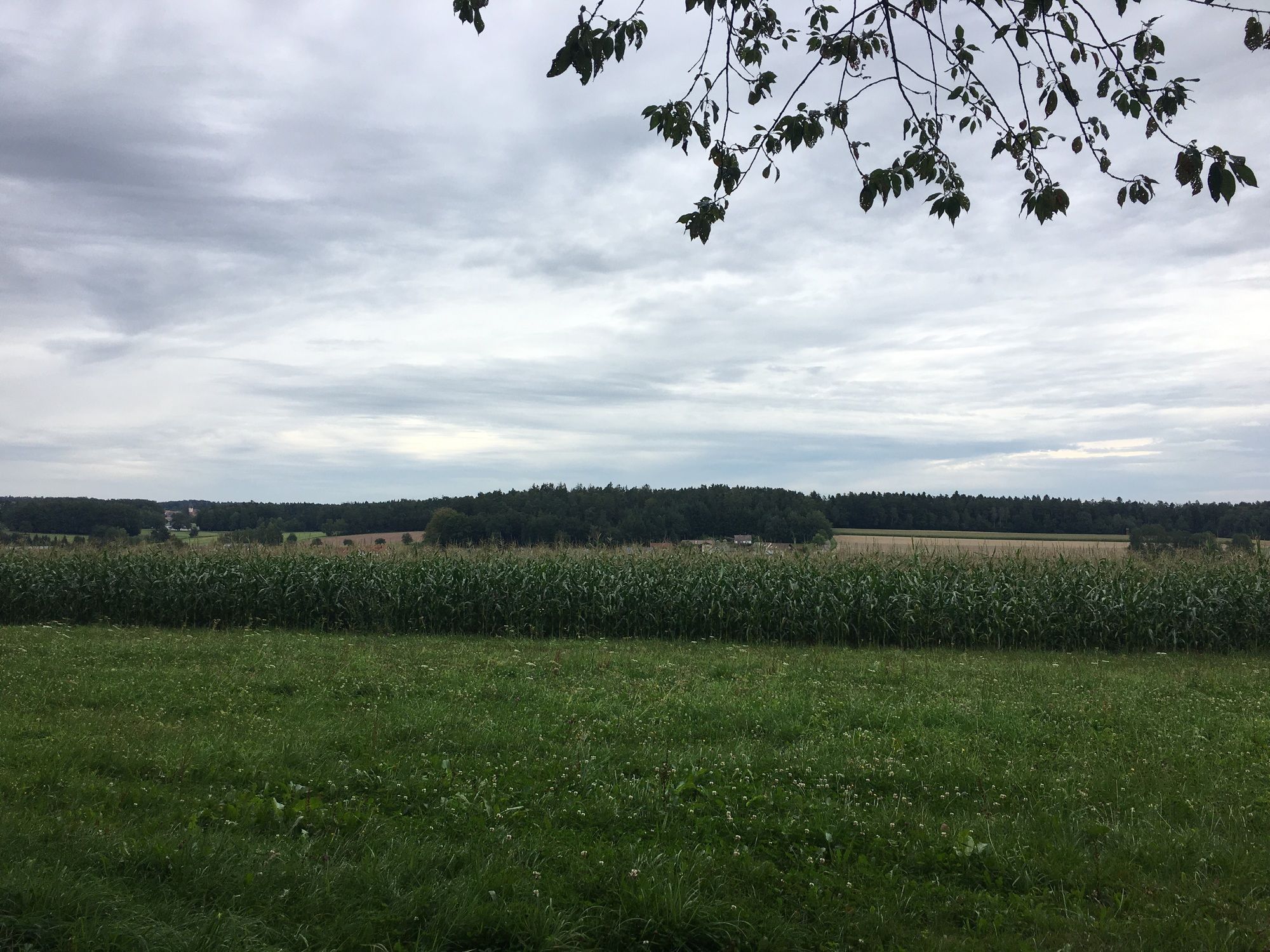
The first Genussweg in the Calw district will quickly captivate you with its multifaceted impressions. It is a hike for nature lovers and those who want to become one. You will enjoy dreamlike views, rustic...
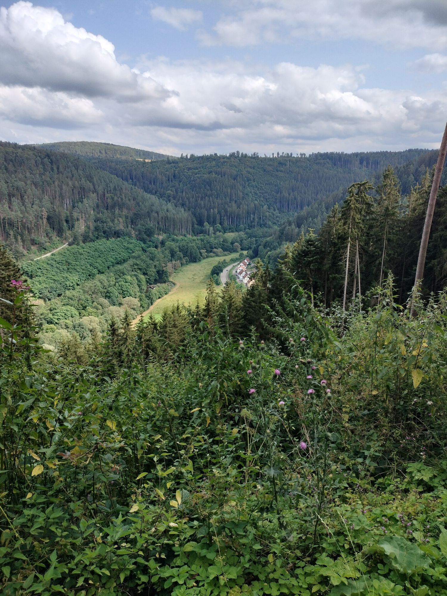
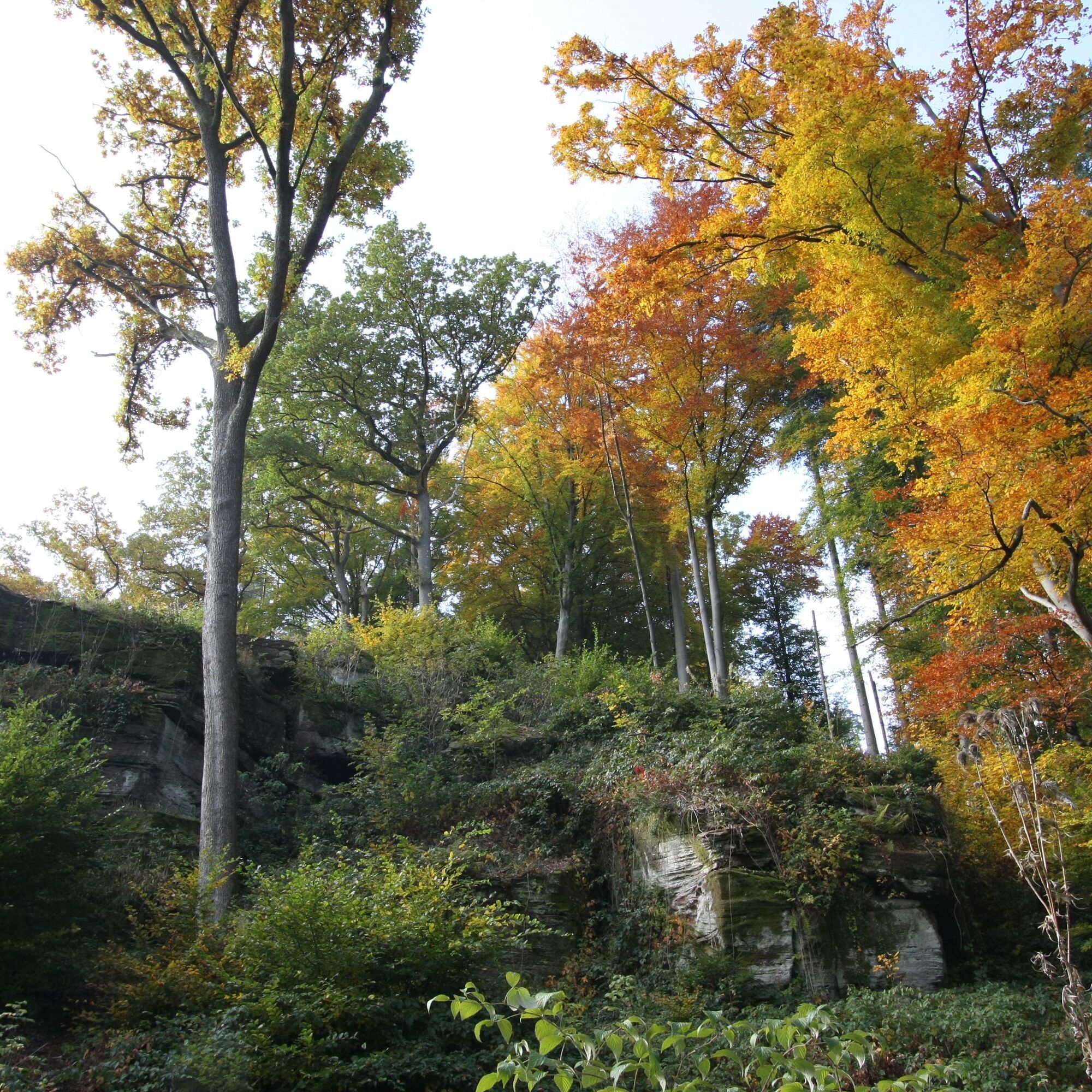
The first Genussweg in the Calw district will quickly captivate you with its multifaceted impressions. It is a hike for nature lovers and those who want to become one. You will enjoy dreamlike views, rustic forests, idyllic streams, cultural highlights, and wild trail companions.
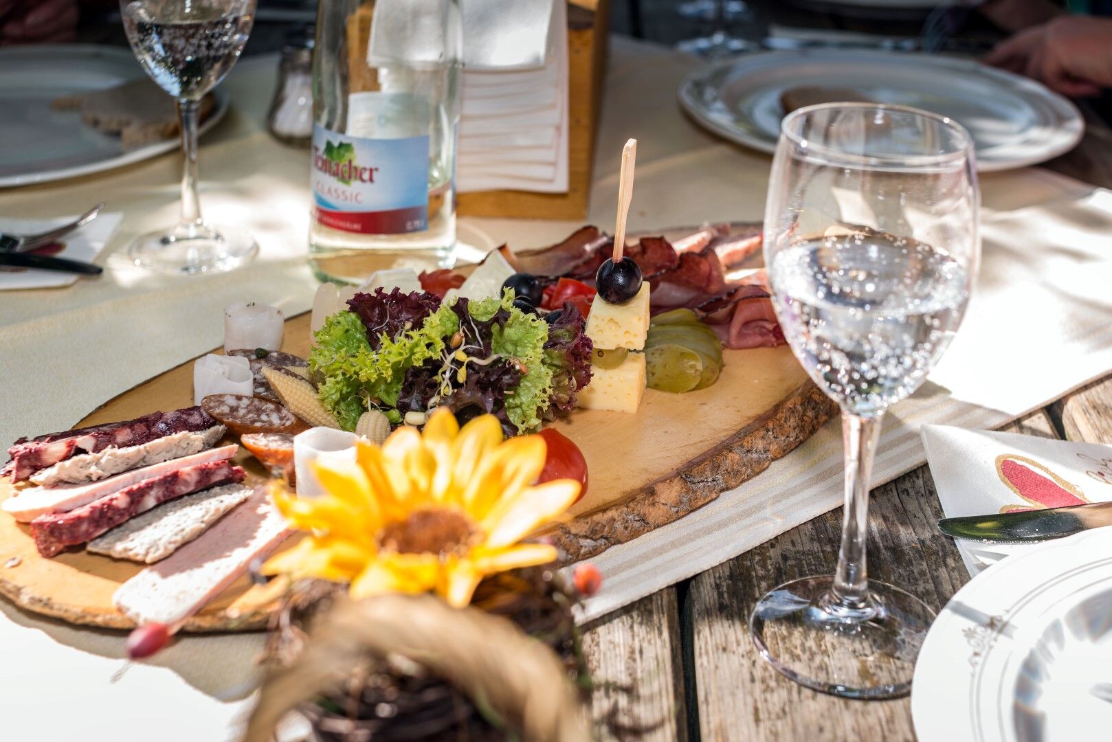
The starting point of our exciting and varied Genussweg is at the hiking lodge in Zavelstein. During our upcoming hike, we are accompanied by splendid orchard meadows, flat economic and forest paths towards Calw. It’s worth taking a look at the wild boar enclosure to spot piglets or spending a few contemplative minutes at the Wölflesbrunnen. A worthwhile detour is the Hermann Hesse town Calw nestled in pristine nature. A few meters from the half-timbered houses-lined marketplace, the hike recommences for nature lovers and those aiming to become one. Ancient spruces and beeches accompany us during the ascent, then suddenly a mighty Buntsandstein rock, the Gimpelstein, overlooking vibrant life. Immediately after, an alpine path leads to the creepiest place in the Calw forest, the scaffold. The highlight of the hike is undoubtedly the path through the Rötelbachtal, which will captivate every hiker, young or old. Still, keep your eyes open, as the path can always be slippery. Another special experience is the Stubenfelsen, where playing robber and police is fun—very little imagination needed. Soon, after reaching the heights, enjoyment of nature replaces that of the palate. The hiking lodge in Zavelstein will impress us with good regional cuisine and unique coziness. From there, a detour to the romantic old town of Zavelstein and the castle ruins is always worthwhile.
The Genussweg can of course also be started any time from Calw. The best parking facilities are available.
Signage and trail network of the Black Forest Association.
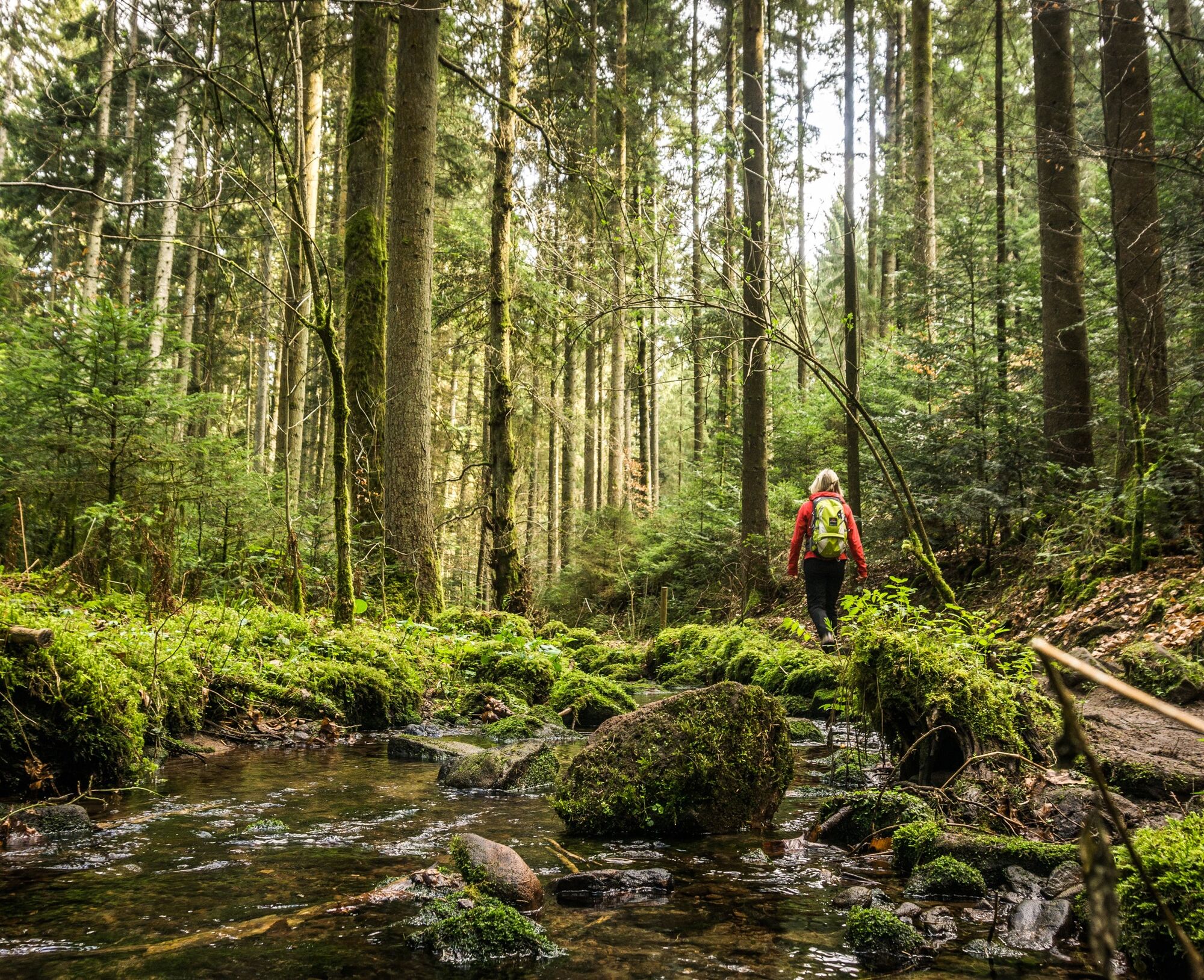
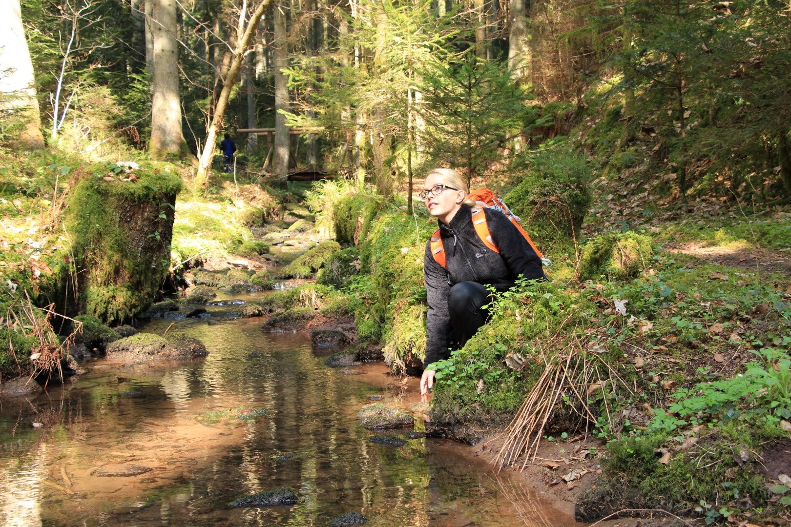

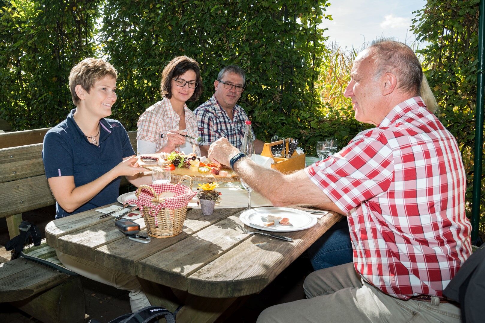

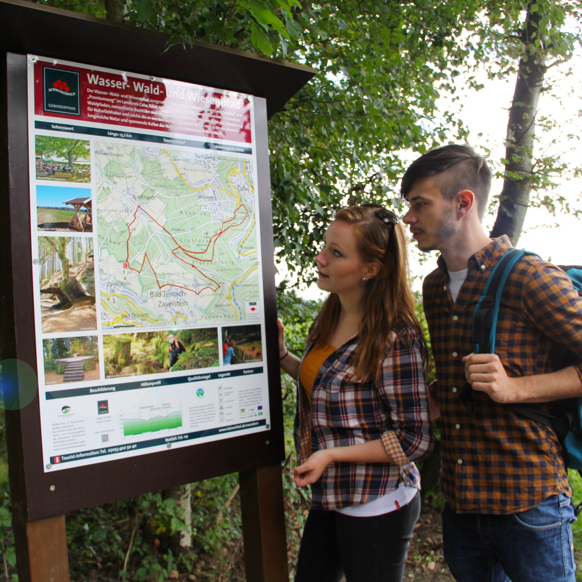

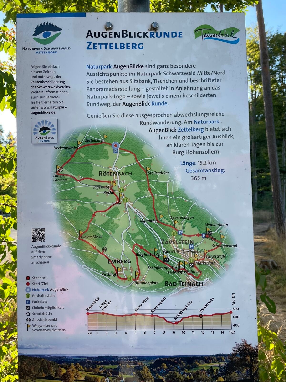
The idyllically located hiking lodge amid the unique crocus meadows on the heights of Zavelstein is the starting and finishing point of our route. Under the shade of the leafy canopy, we reach the information board, the official starting point of the Genussweg. We take a quick look at it and at the photos. Soon we will be there ourselves, up close on site. Let's get started!
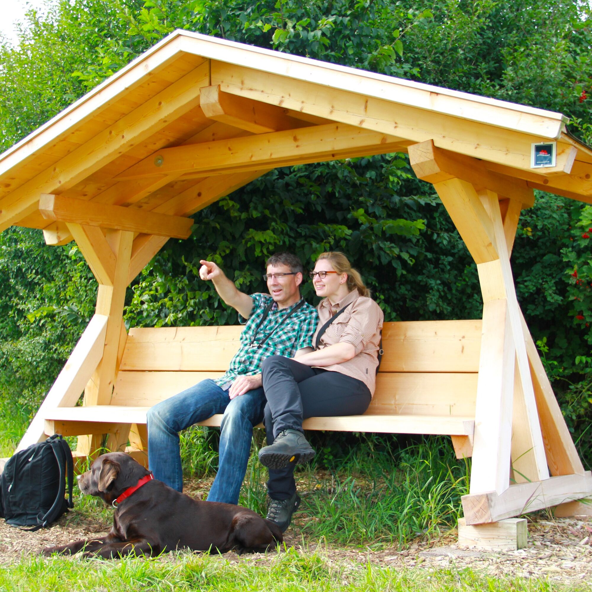
We begin our enjoyment hike via a small path branching off to the left. After crossing a small road, we come to a beautifully covered wooden bench at the edge of the forest. Even though our hike was only a short time ago, we should pause here and enjoy the silence. We look out over meadows and fields to the Calw district of Speßhardt.
Our path continues over lovely meadows downhill into the village. We cross a road and immediately ascend the hill again until we reach a wall. There we turn right onto a field path, pass by orchard meadows, then re-enter the forest until a small road, which we cross again, before following a comfortable forest road.
We take the first turn to the left. Along the way, we can make a short detour to the Wölflesbrunnen, where many travelers used to stop on their way home from Calw to fetch water for their households and farms.
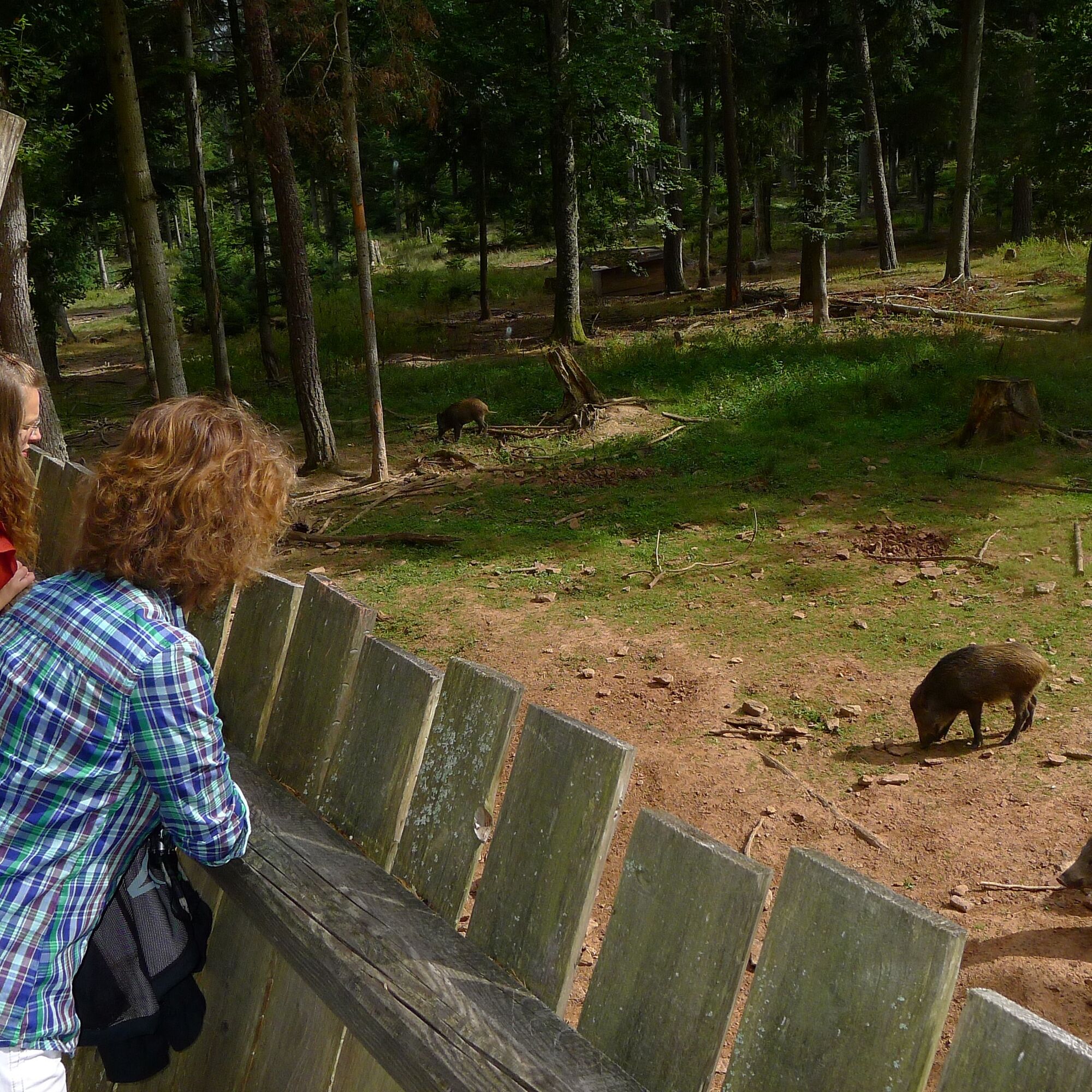
The path continues past the wild boar enclosure.
Tip: be sure to take a short detour to the left to the viewing platform to experience the black pigs up close!
We leave the wild boar enclosure behind and about 500 meters later reach a rest area with a shelter and a barbecue spot. An inviting place where we can rest. Then we continue on a Finnish track and keep right at its end. Information boards giving us an informative impression of the old forestry professions in the region line the gently downhill hiking trail.
At the stone bench we turn right and walk along the Schießbach. Here, above these medieval facades, there is the opportunity for a detour and a cozy visit to the Hermann Hesse town of Calw.
The marketplace in Calw is a cozy, homely spot in the beautiful Hermann Hesse town. Idyllic half-timbered houses with inviting cafés adorn the cobblestone-lined surface. Hesse himself once praised Calw as the most beautiful city between Bremen and Naples, Vienna and Singapore. He might not be wrong!
We hike back uphill via Salzgasse (connecting path Genussweg), into the Calw city garden with its poetry path intertwined with lush greenery. The literary writings of the well-known author Hermann Hesse accompany us for some meters of the path. We leave the park via stairs and cross the Schießbach over a wooden bridge back to the starting point.
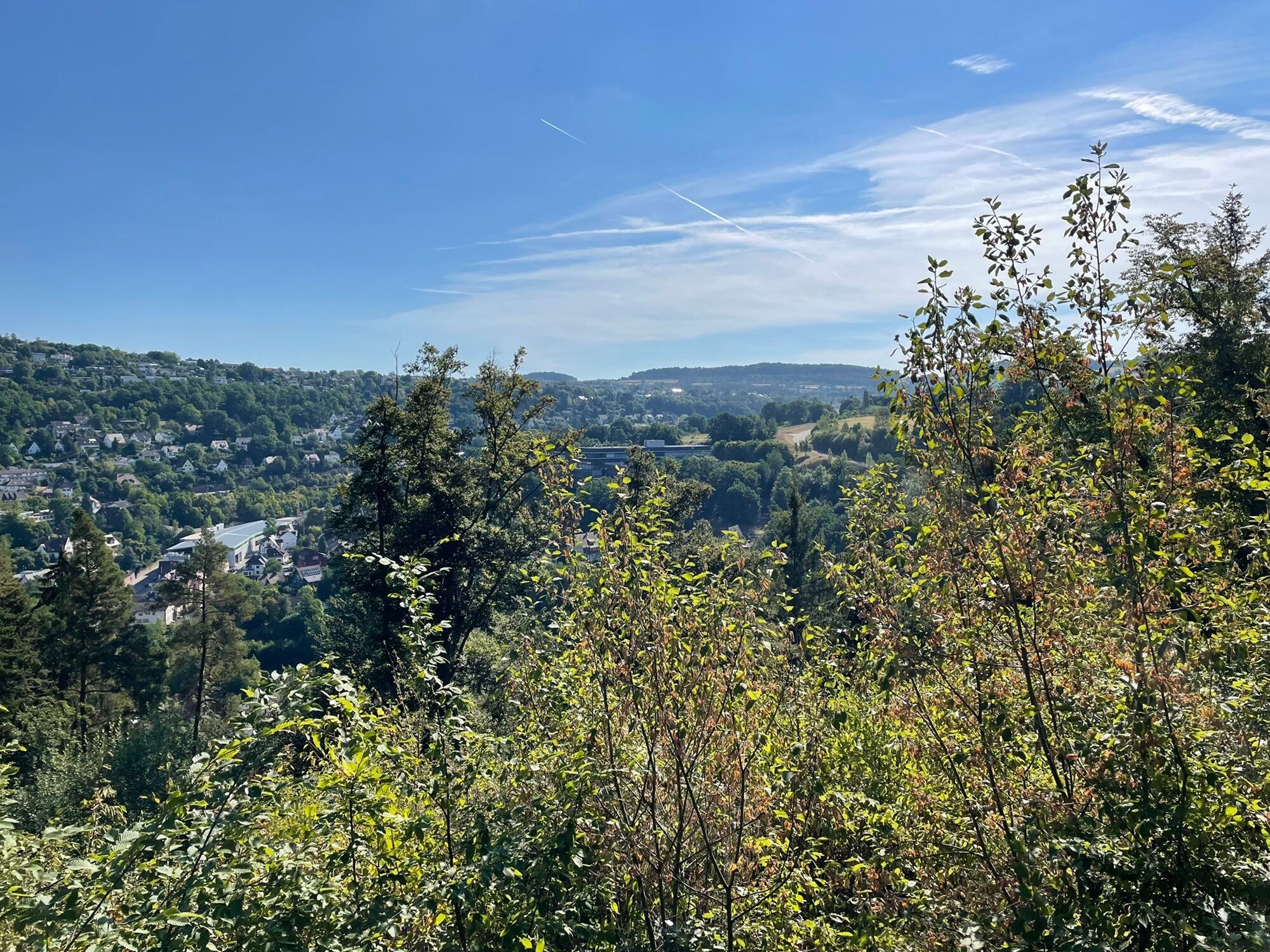
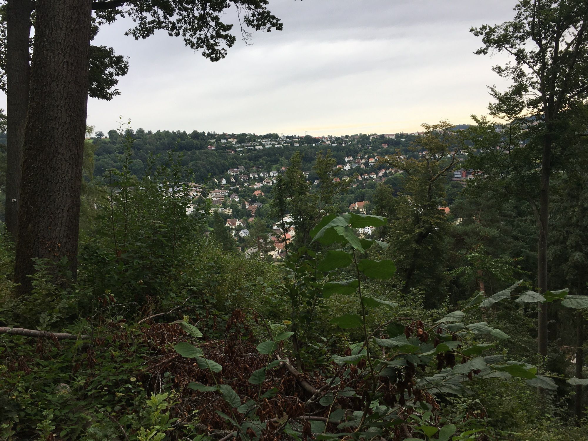
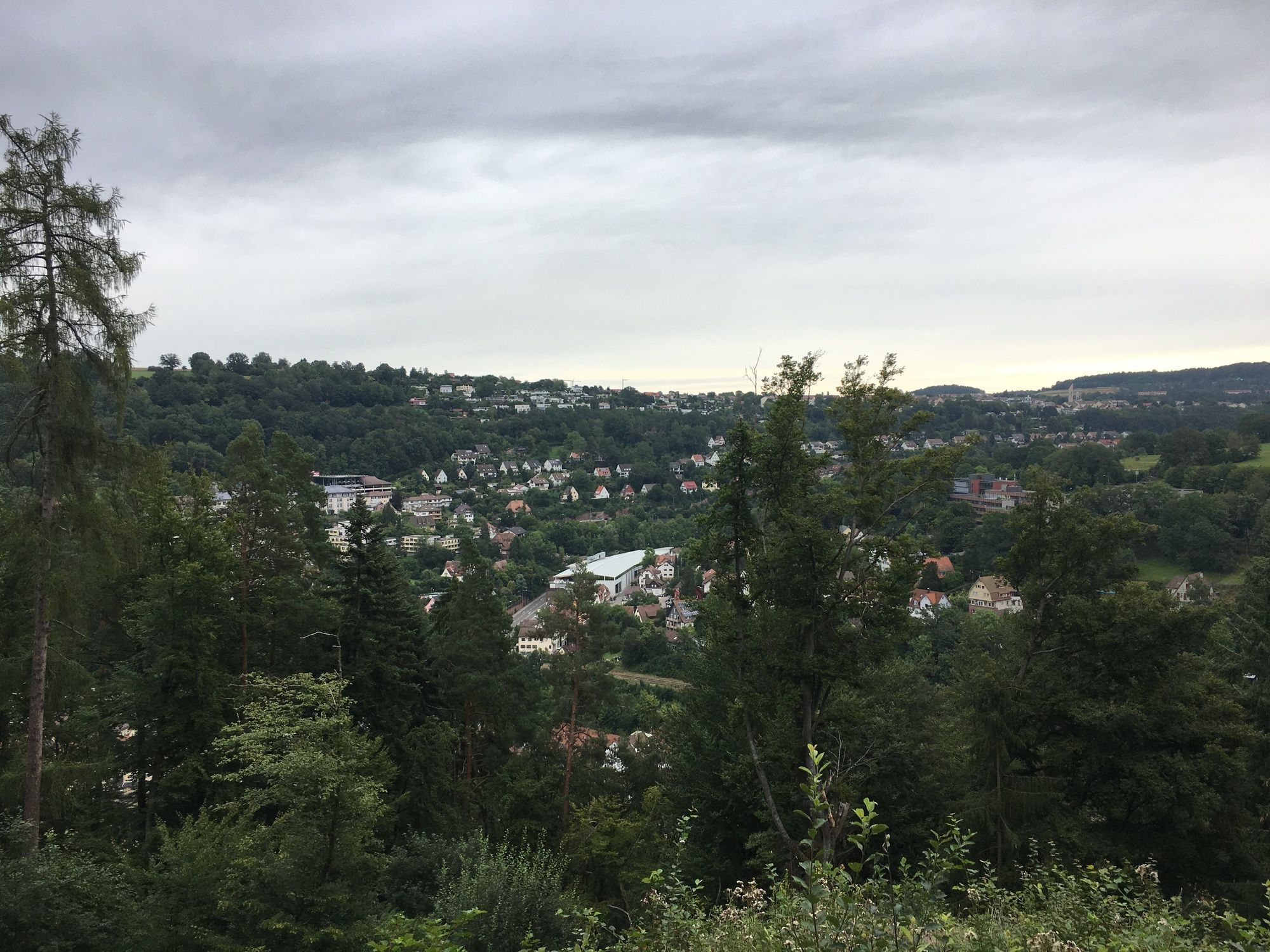
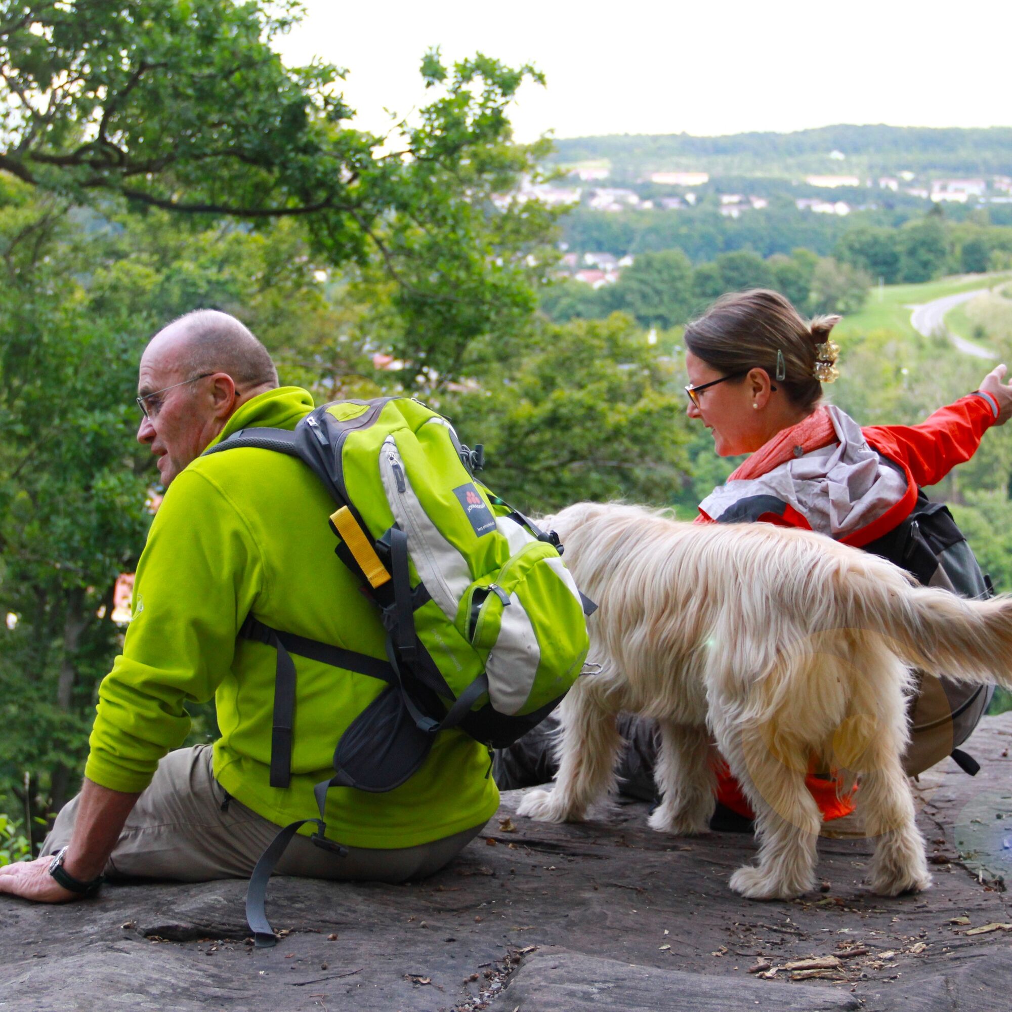
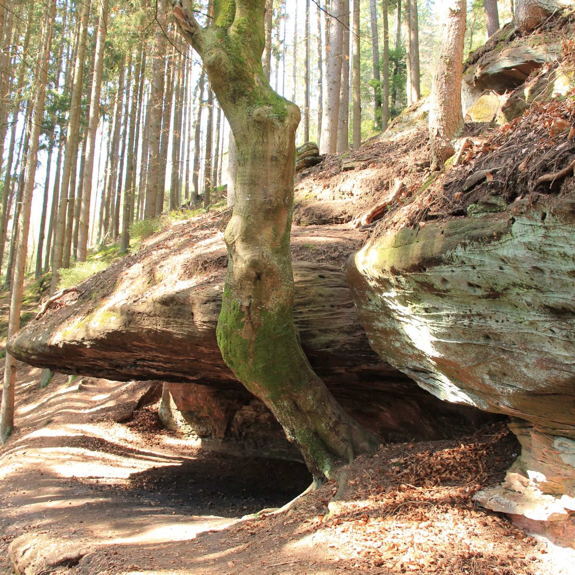
A narrow path leads us pleasantly uphill through the refreshingly green nature of the mixed forest. We climb some flat stone steps and pass a mighty tree at the side of the path. A few meters further, a first wonderful viewpoint opens up to us: the Gimpelstein. Read on the information board how it got its name and its meaning or history. From the rugged Buntsandstein rock, we have a wonderful view of Calw and the heights around Calw as well as into the Nagold valley. The table-shaped rock formation invites a short break, but we want to soon continue hiking to explore the beautiful nature on the heights of Calw.
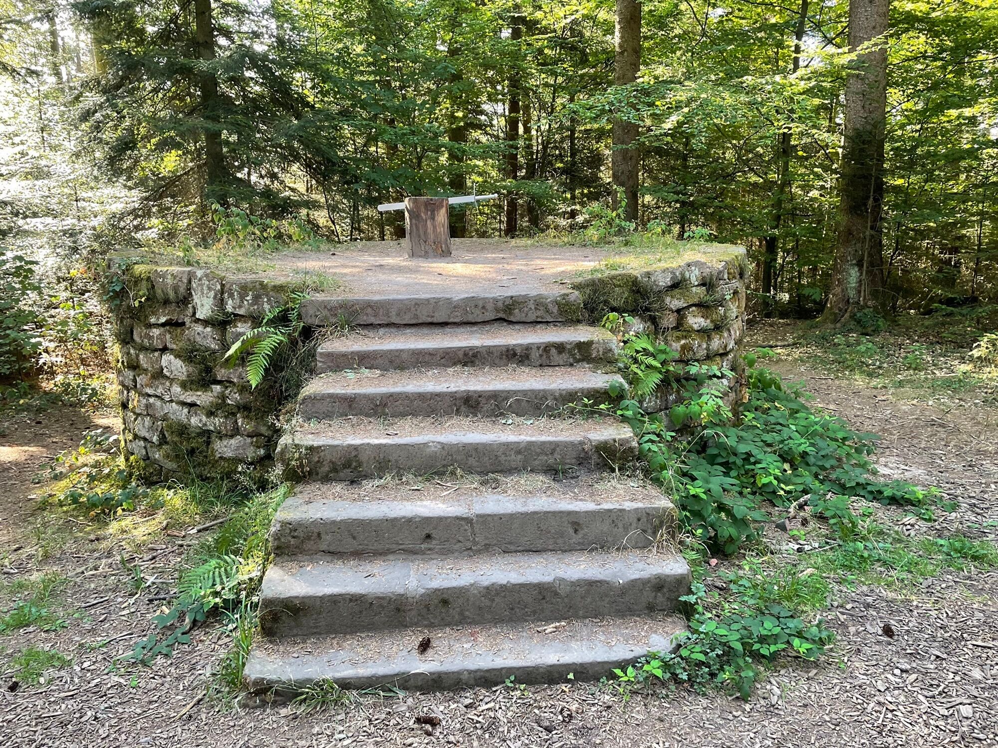
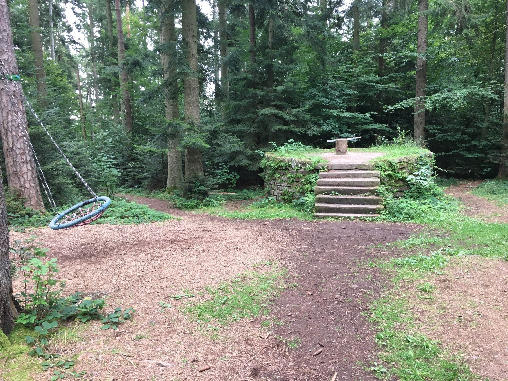
We go a few meters higher, then keep left and continue along a path on the mountainside. We have to tackle some sections that are almost alpine on the so-called rock path. Then we cross a forest road and soon discover the Calw scaffold, a masonry round pedestal with a replica of a sword attached. The stone circle was erected in 1800 and used by the city of Calw as an execution site until 1818. An information board informs us in detail about the "blood scaffold," as it is translated from French. A creepy place!
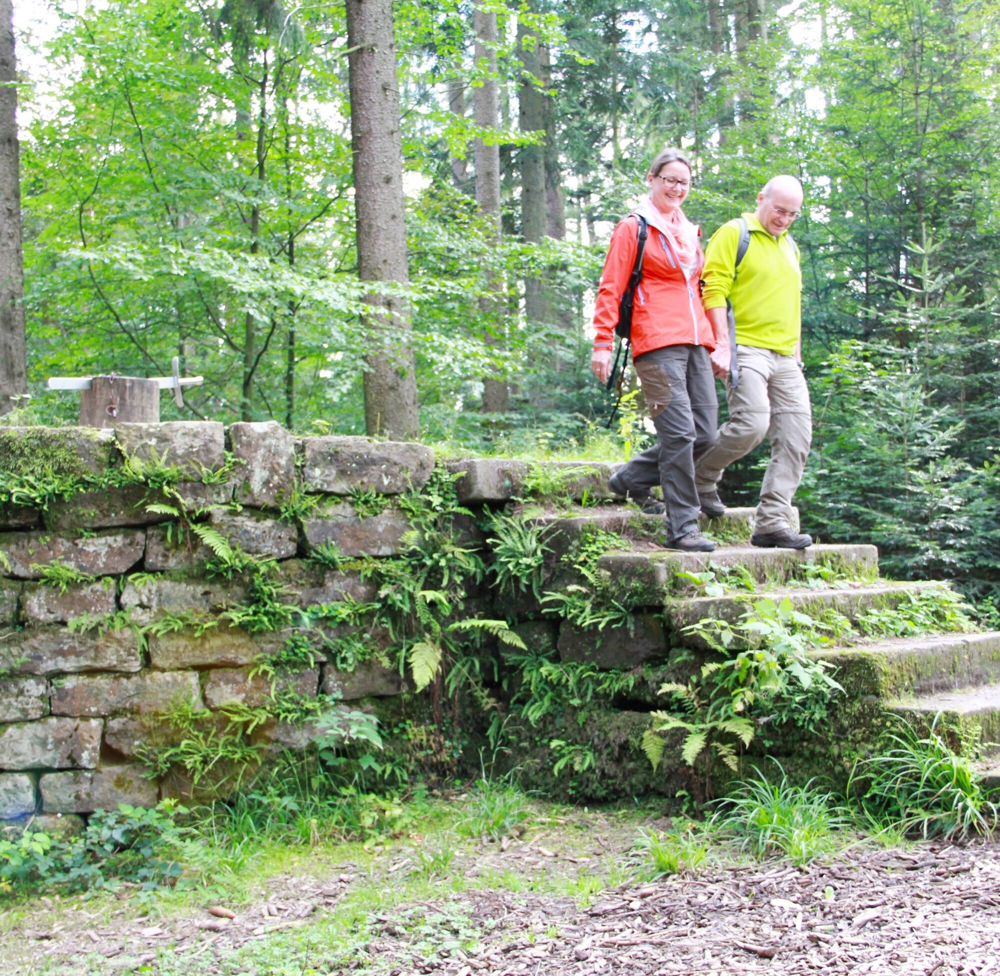
After 100 meters on a Finnish track, we come to a gravel path, which we follow for about one kilometer, then turn right onto a wonderfully soft forest path and shortly thereafter back onto the gravel path. After about another kilometer, caution is required as our signpost now points left at a right angle. At the information boards, we follow the steep path downhill. From here, we walk on the over 100 years old butter stairs, which got their name because peasant women used to go over this path with their goods to the Calw market. It is a wonderful section of the path that leads us over roots, sticks, and stones and several stair steps into a true natural idyll. As the steps are almost always somewhat slippery, caution is advised.
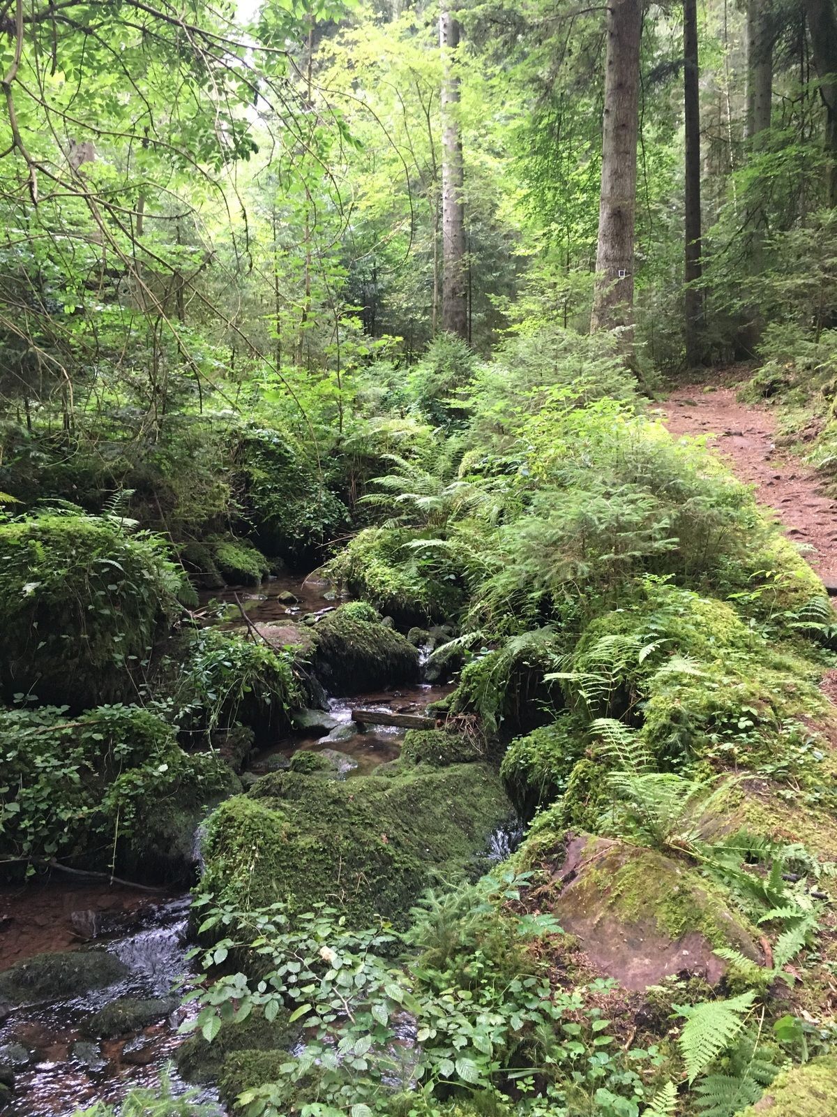
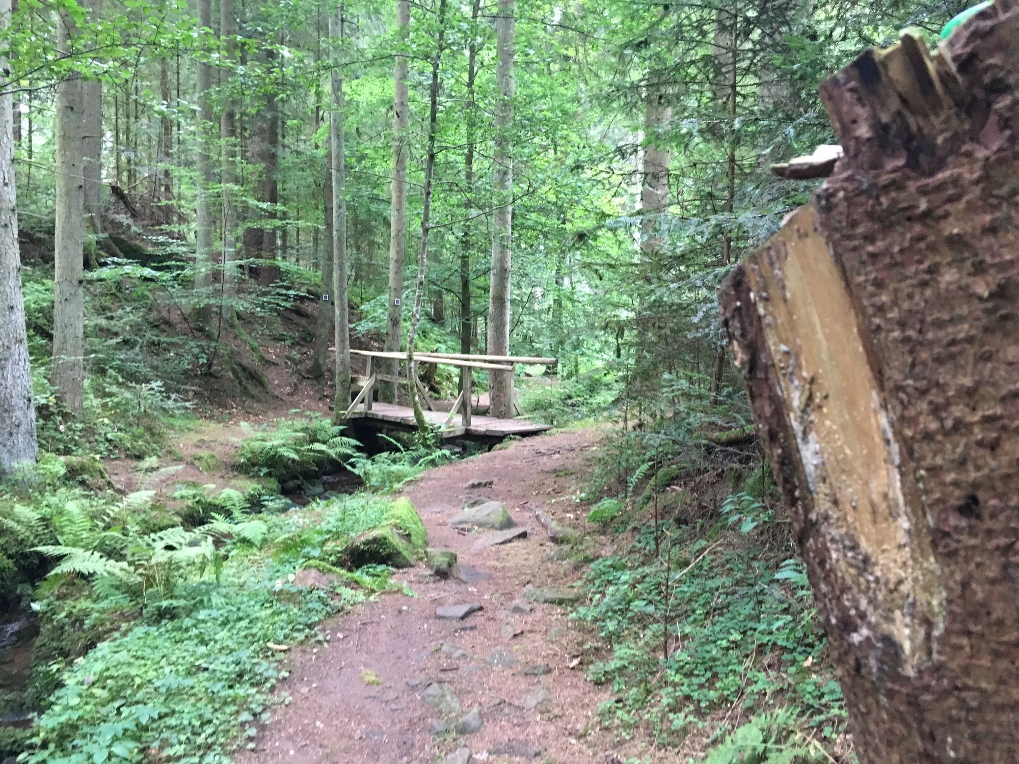
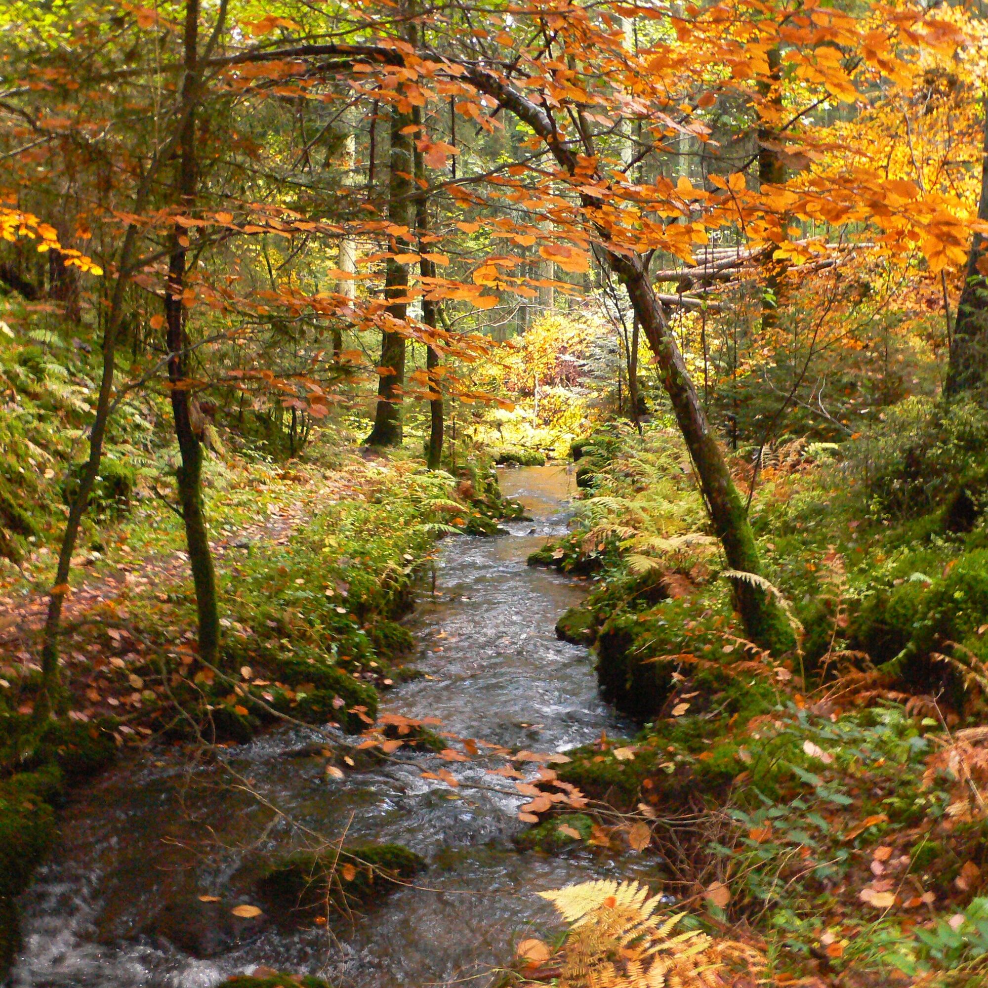
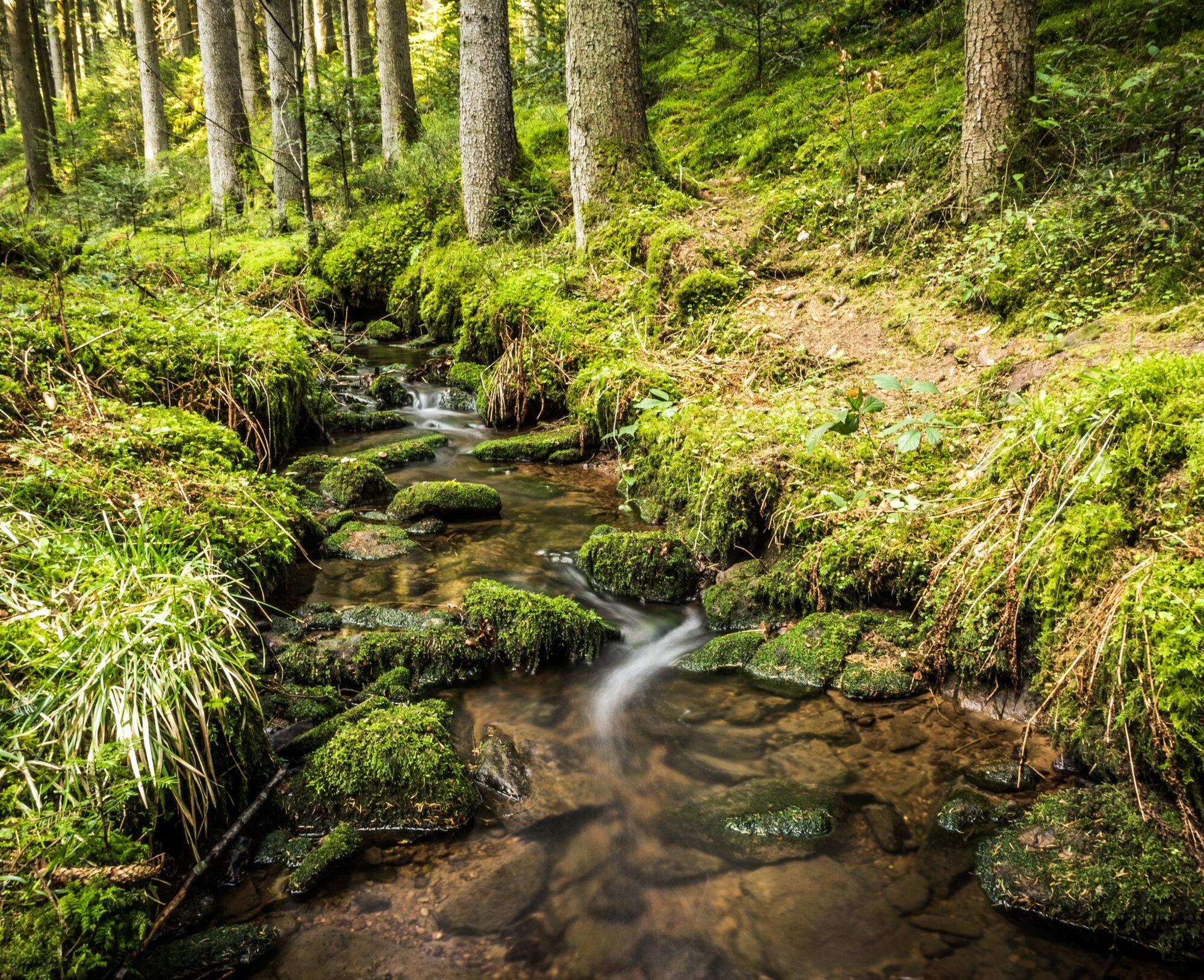
In the Rötelbachtal, the eponymous stream has carved its way through beautiful nature. We cross the stream on three very old stone slabs and immediately keep left along the stream. Thick moss-covered stones, wildly hanging lichens, fascinating light reflections, bird songs, and the gurgling and rushing of the wild little stream accompany us. If you're lucky, you might occasionally see a small trout darting under a stone. The "Rötelbachtal" experience can be deepened a bit: just take off your shoes and walk barefoot for some meters in the brook. The tingling in the feet afterward reminds one of former times and is especially fun for children.
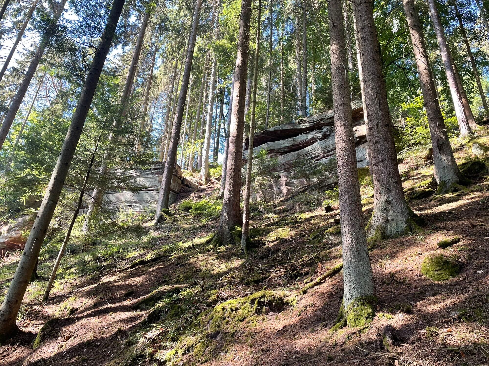
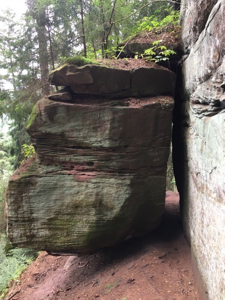
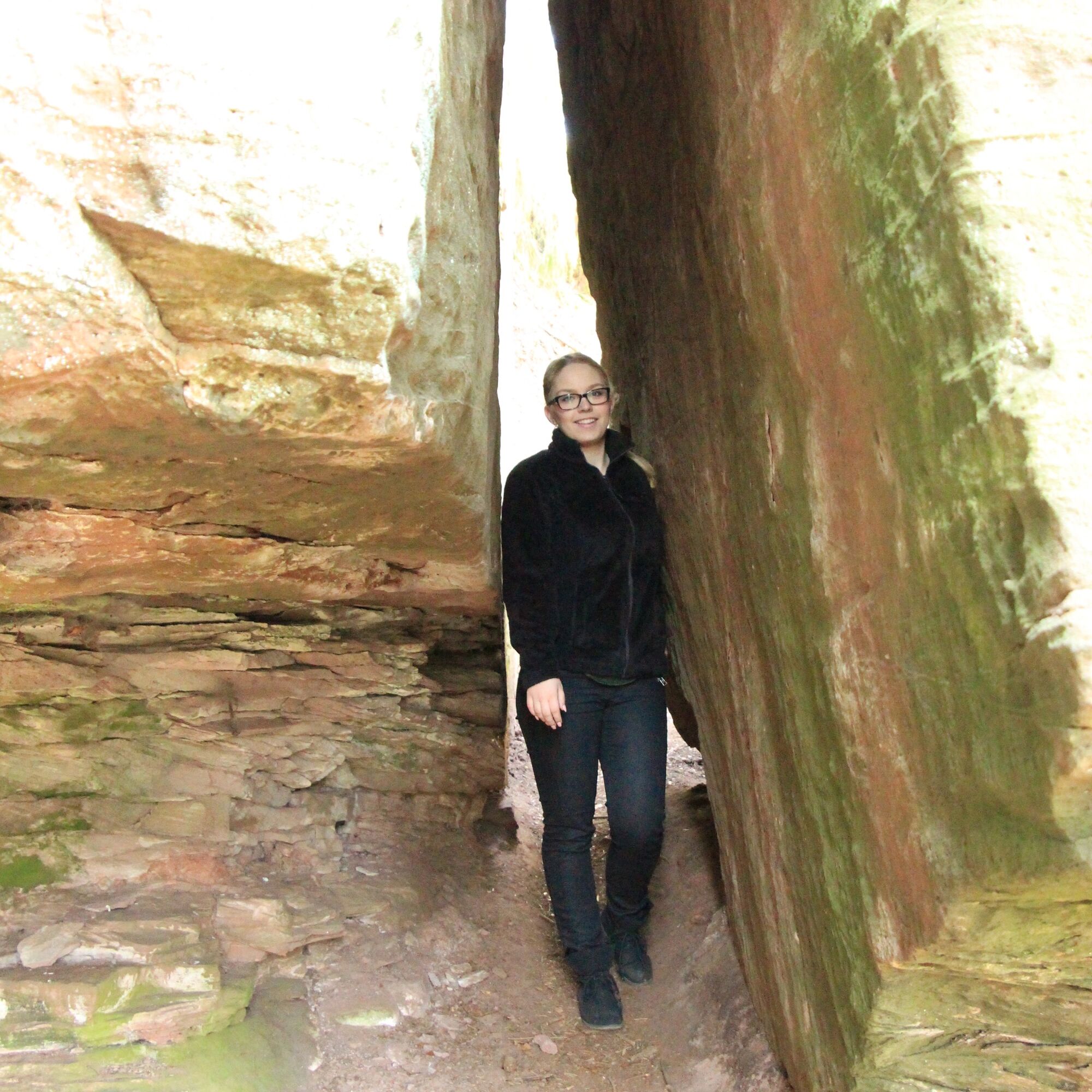
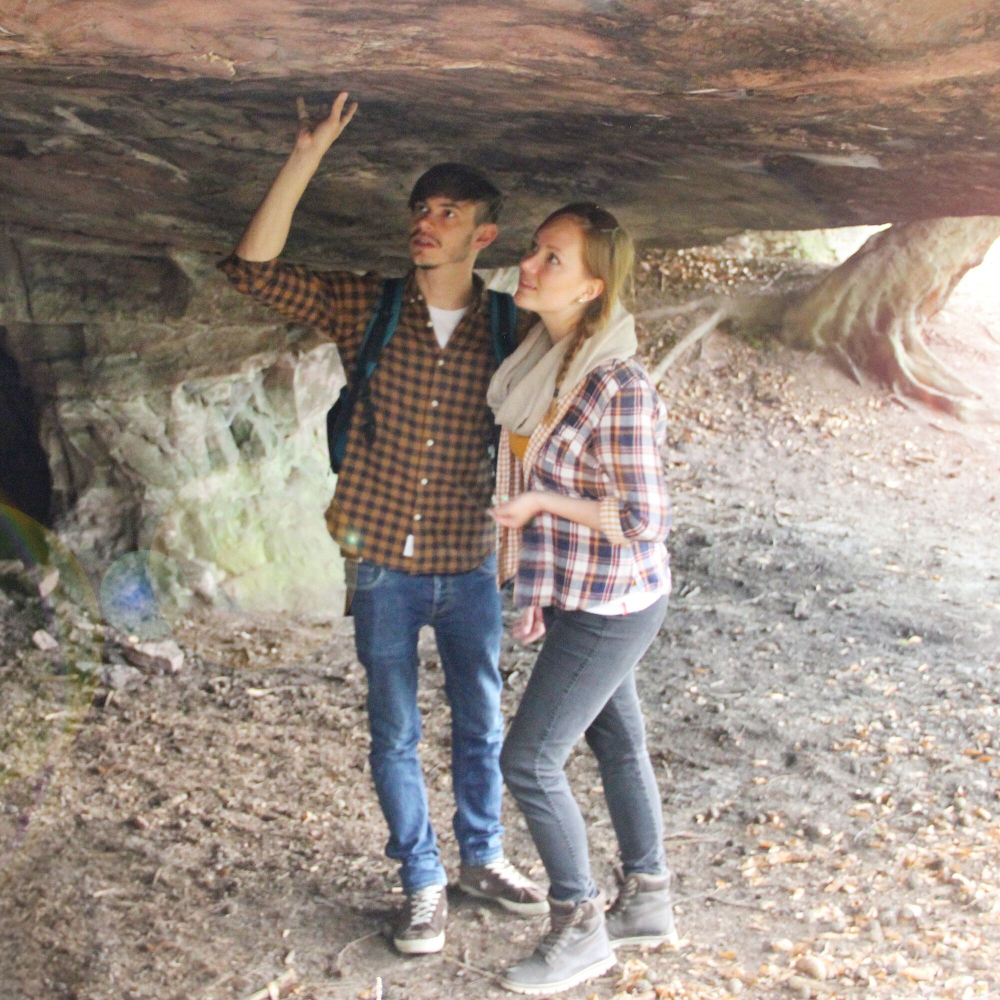
This wonderful natural spectacle accompanies us down the valley for some time. We make sure to follow the path right at a fork over the Rötelbach and shortly after find ourselves on a forest road, which we follow downhill towards Kentheim. The first gables of the small village are already visible. We now turn sharply right onto a steep, almost alpine trail that leads us to a bizarre Buntsandstein formation, the Stubenfelsen. Fancy a little test of courage? Then simply try to pass through the narrow two-meter-long crevice (tip: take off your backpack, it makes it easier). But be careful: folklore says that whoever lied will be crushed inside. After hopefully a successful adventure, we climb a few more meters and cross a forest road.
Following the marking, we now climb the wild, winding rock path surrounded by huge stone slabs up to the small village of Lützenhardt on the heights. Upon arrival, a wonderful view awaits us, partially stretching to the Swabian Alb, as a reward for the sweat of the ascent.
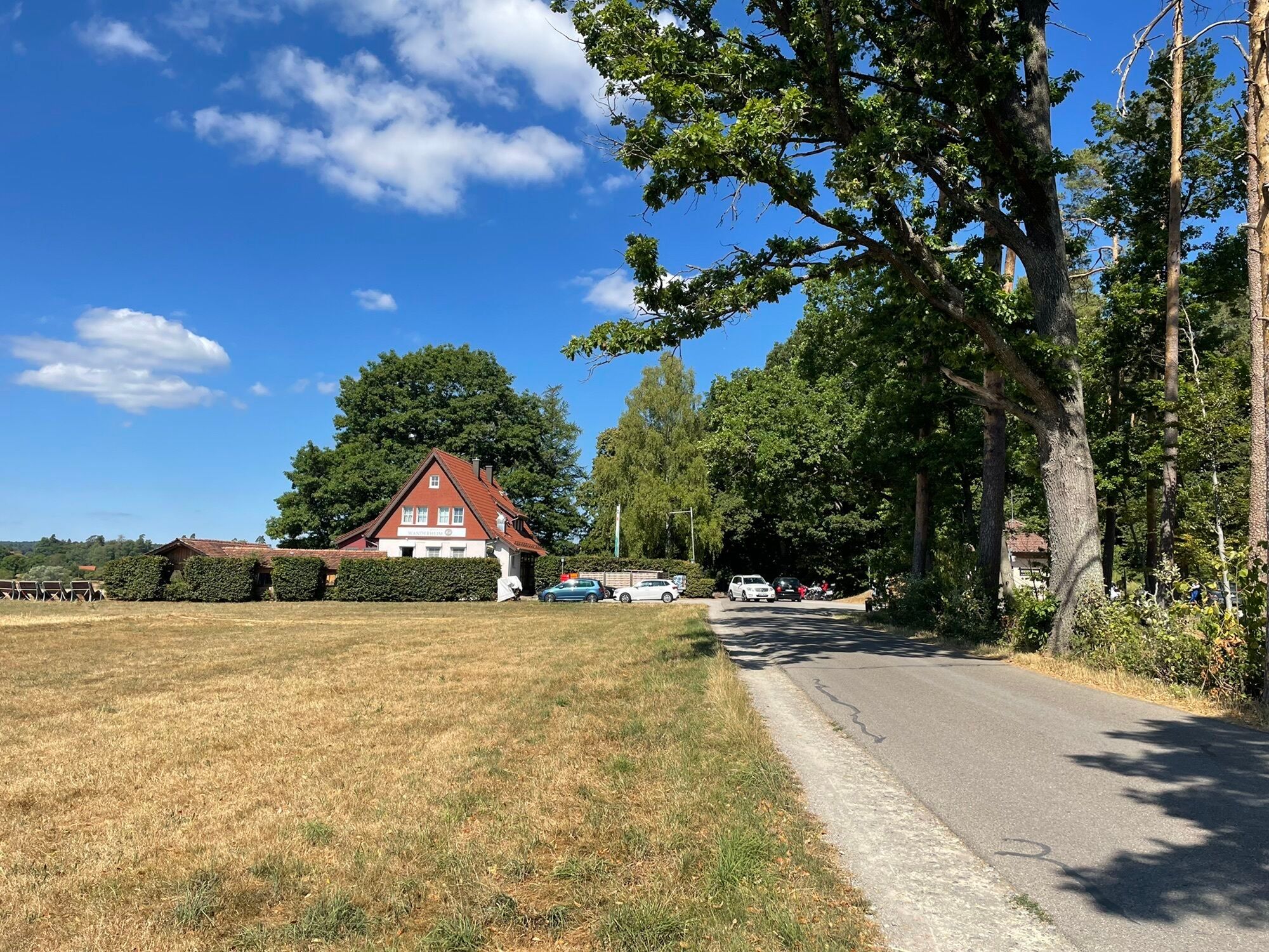
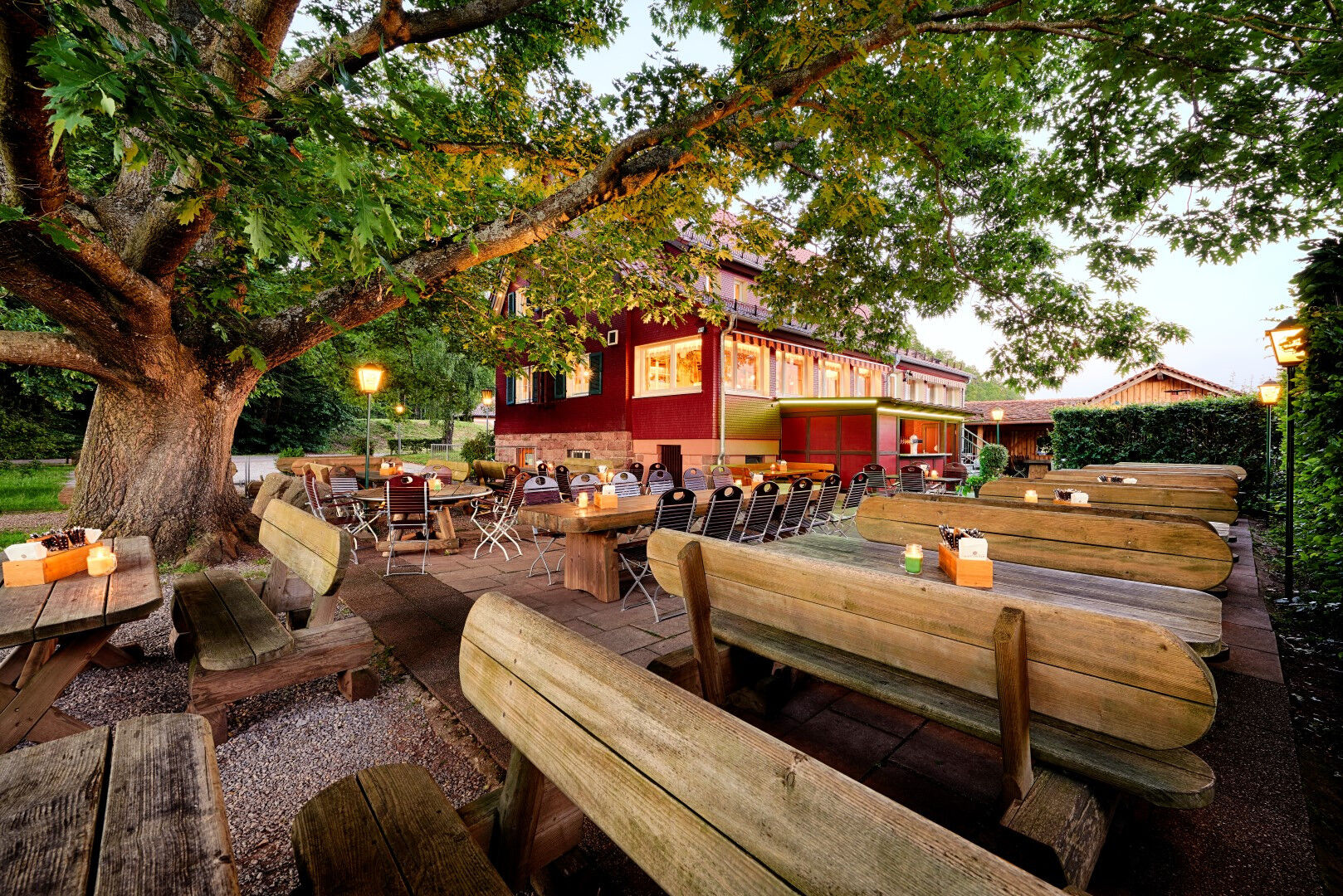
When crossing the village street, we carefully watch for the marking placed opposite and continue on a cozy meadow path that leads us along more fields into the forest. We follow the path through the shady thicket and thus reach our starting point, the Wanderheim Zavelstein. Beautifully located by the forest and with a dreamy beer garden, the inn is a welcome opportunity to refresh and give our hiking feet the necessary rest.
Da
Hiking boots, weather-appropriate clothing, small backpack provisions, and drinks are recommended.
The best hiking season is April to October, although in the Rötelbachtal it can be slippery all year round.
After heavy rain, the path can also be temporarily underwater.
Arrival by car
Autobahn A 8 Karlsruhe-Stuttgart
Exit Pforzheim-West, via B 294 to Calmbach and B 296 to Oberreichenbach, then signposted (35 km) or B 463 to Bad Teinach station (37 km).
Autobahn A 8, A 81
Autobahn intersection Leonberg, via B 295 to Calw, then signposted (35 km).
Autobahn A 81 Stuttgart-Bodensee
Exit Gärtringen, direction Calw via B 296. At Holzbronn exit, turn left and follow K4302 to B463 to the Bad Teinach-Neubulach station. Then follow K4306 to Zavelstein. At the marketplace, turn right via Krokus and Stauferstraße to the Wanderheim on Fronwaldstraße.
The Kulturbahn runs every 30 minutes or every 60 minutes on weekends from Pforzheim to Horb with stops in Hirsau, Calw, and Bad Teinach-Neubulach.
Bus line 635 runs from Bad Teinach via Zavelstein to the Bad Teinach-Neubulach station or to Calw. Transfers to the Kulturbahn are possible at both stations.
Arrival by train
The Bad Teinach station is located 3 km outside the town on the Nagoldtalbahn (Kulturbahn) from Pforzheim to Horb. On this line, modern railcars run every half hour with connections to the InterRegio network in Pforzheim and the ICE and IC networks in Karlsruhe. Thanks to the bus service to Bad Teinach-Zavelstein and the taxi service (Tel. 0 70 53 / 9 69 60), good connections to all districts are ensured. There is no ticket office at Bad Teinach station. The next ticket office is at Calw station (Calw travel center, Bischofstraße 10 in 75365 Calw, phone 07051 2355, service hours Monday to Friday 08:00 to 18:00).
Visit the German Railway homepage for current travel information and timetable inquiries. Go to homepage
On the electronic timetable service of Baden-Württemberg's homepage, you will find bus and train connections in combination with public transport. Go to homepage
Wanderheim Zavelstein
T1
More hiking adventures await you in the WanderWelten Teinachtal.
For your personal hiking tip in the Northern Black Forest, contact us at
Teinachtal Tourism
Rathausstrasse 9
75385 Bad Teinach-Zavelstein
Email: info@teinachtal.de
Phone: 07053 / 920 50 40
Flyer for download:
Rest areas:
Barbecue area at the Saatschule Calw-Wimberg, covered bench between Lützenhardt and Zavelstein, and at the forest edge shortly before Spesshardt.
Refreshments possible: Wanderheim Zavelstein, phone: 07053 8831
http://www.berlins-hotel.de/wanderheim/wanderheim.php
As well as cafés and restaurants in Calw www.calw.de/Essen-und/Trinken and www.teinachtal.de/gastronomie
Child-friendly: yes
Pram-friendly: no
Also explore our geocaching route on the Genussweg!
http://www.calw.de/Caches-Touren-Trails/Genießerpfad

 Pridobite vpogled
Vedno v živo na mestu z več kot 9.500 spletnimi kamerami. bergfex Kot uporabnik Pro si lahko zdaj ogledate ustrezne spletne kamere za številne izlete v aplikaciji izleti iz. Tako si lahko neposredno ogledate trenutne razmere.
Pridobite vpogled
Vedno v živo na mestu z več kot 9.500 spletnimi kamerami. bergfex Kot uporabnik Pro si lahko zdaj ogledate ustrezne spletne kamere za številne izlete v aplikaciji izleti iz. Tako si lahko neposredno ogledate trenutne razmere.


Priljubljeni izleti v okolici
-
4.6
Hiking through the Monbach Gorge in search of the kingfisher
srednjaPohodništvo 10.5 km -
5.0
Wild romantic Monbach Valley
svetlobaPohodništvo 6.25 km -
4.9
Der Teinacher (Premiumweg & Genießerpfad)
srednjaPohodništvo 12.0 km -
4.0
Wolfsschlucht and Fox Gorge
srednjaPohodništvo 9.74 km -
4.7
Through the wild romantic Schweinbachtal to the Bruderhöhle cave
srednjaPohodništvo 13.8 km -
5.0
From Bieselsberg into the wild Monbach valley - dream route on small paths
težkoPohodništvo 18.0 km -
5.0
AugenBlick route Bad Teinach-Zavelstein Zettelberg
težkoPohodništvo 15.5 km -
5.0
GeoTour Wildberg through the picturesque Lützenschlucht
težkoPohodništvo 2.80 km -
4.0
Circular route Hirsau - Oberreichenbach - Schweinbachtal - Hirsau
srednjaPohodništvo 10.2 km -
4.5
Waldeck ruins and the largest water wheel in Europe
srednjaPohodništvo 15.4 km
Pohodništvo in sledenje


Ne zamudite ponudb in navdiha za naslednje počitnice
Vaš e-poštni naslov je bil dodan na poštni seznam.





