


On the Gäurandweg from Calw-Stammheim to Wildberg
Wonderful Nagold Valley
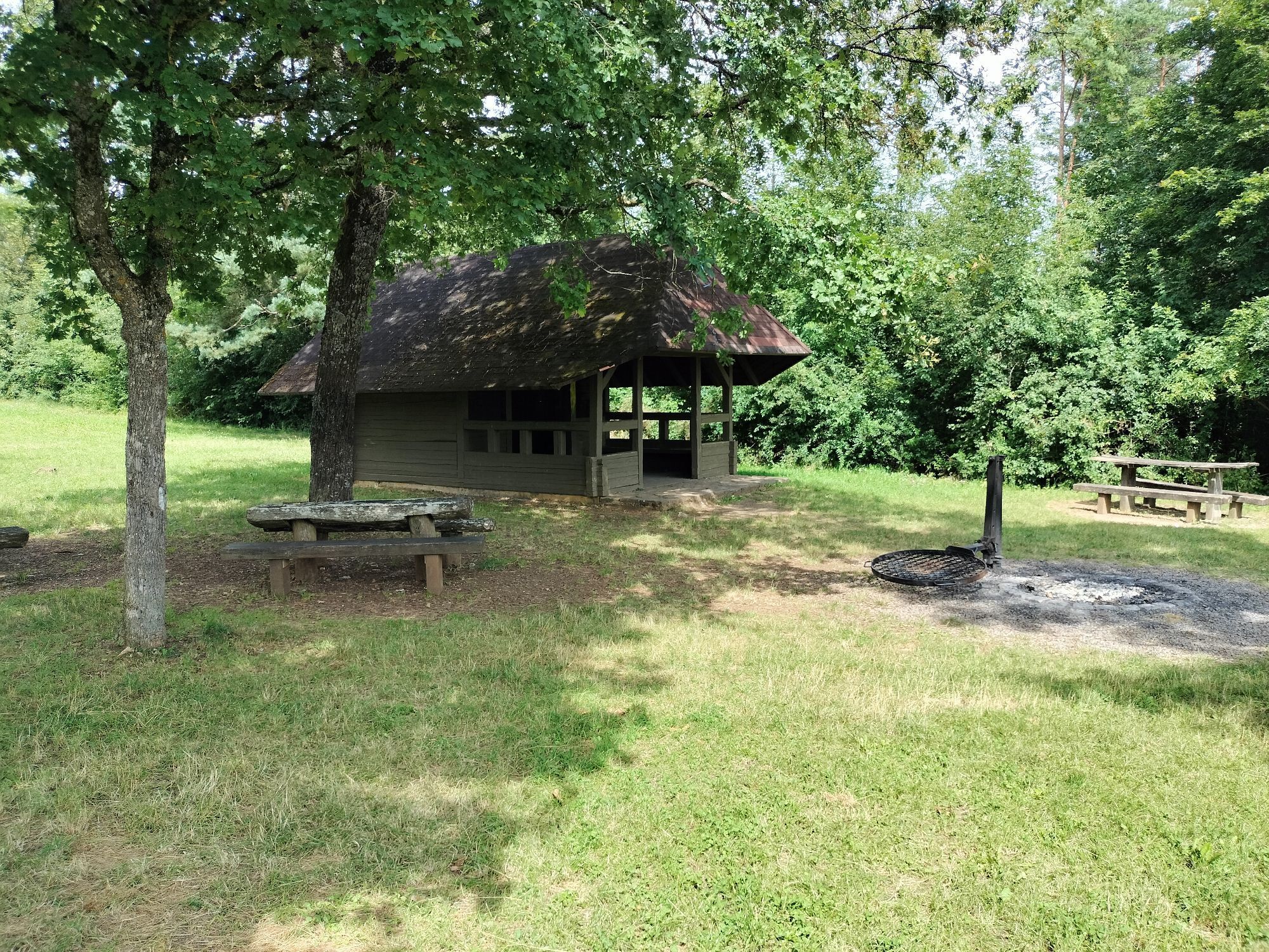
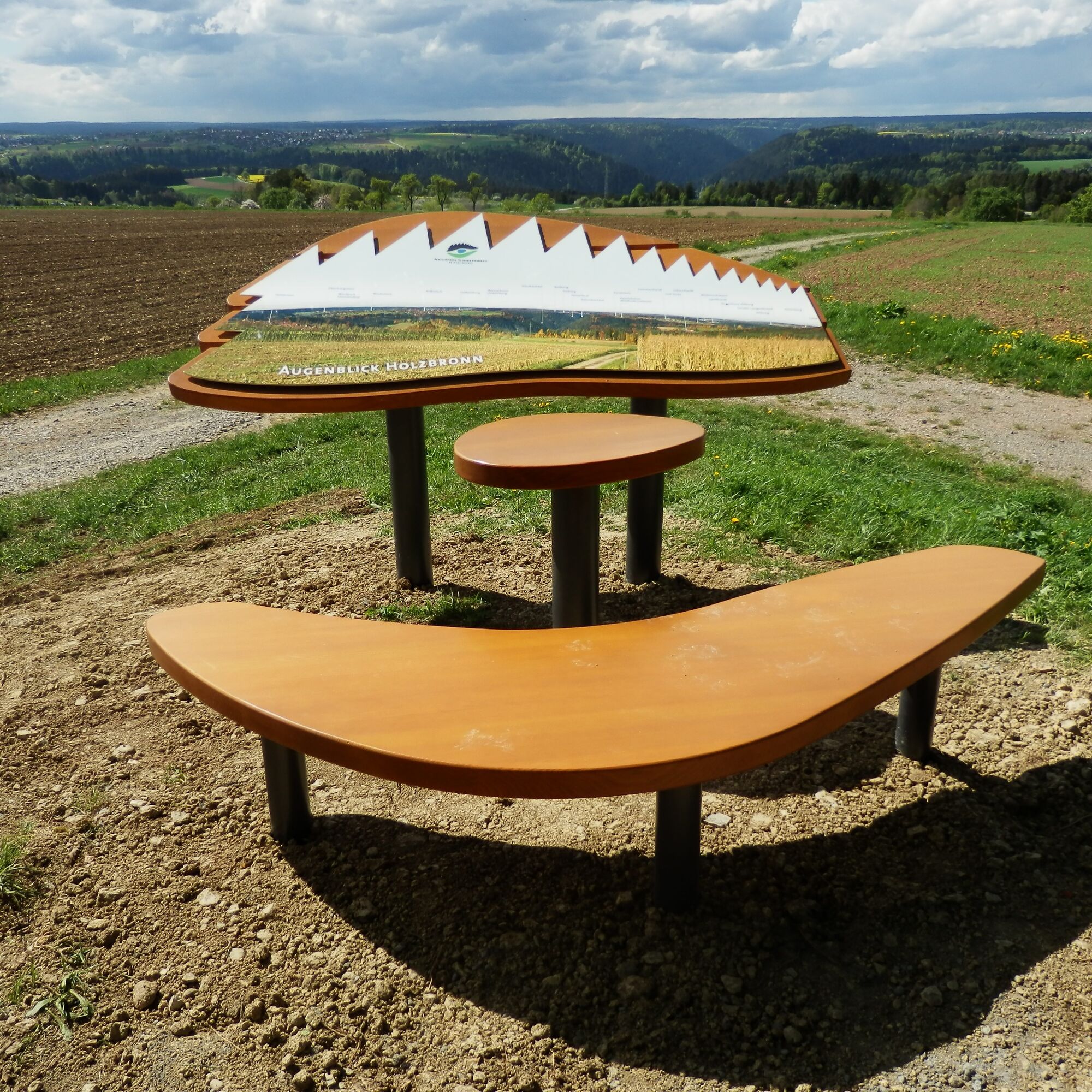
With the Gäurandweg, the Black Forest Association has created a varied long-distance hiking trail. This route lasts 16 kilometers. The path first leads towards Holzbronn, where...
Wonderful Nagold Valley
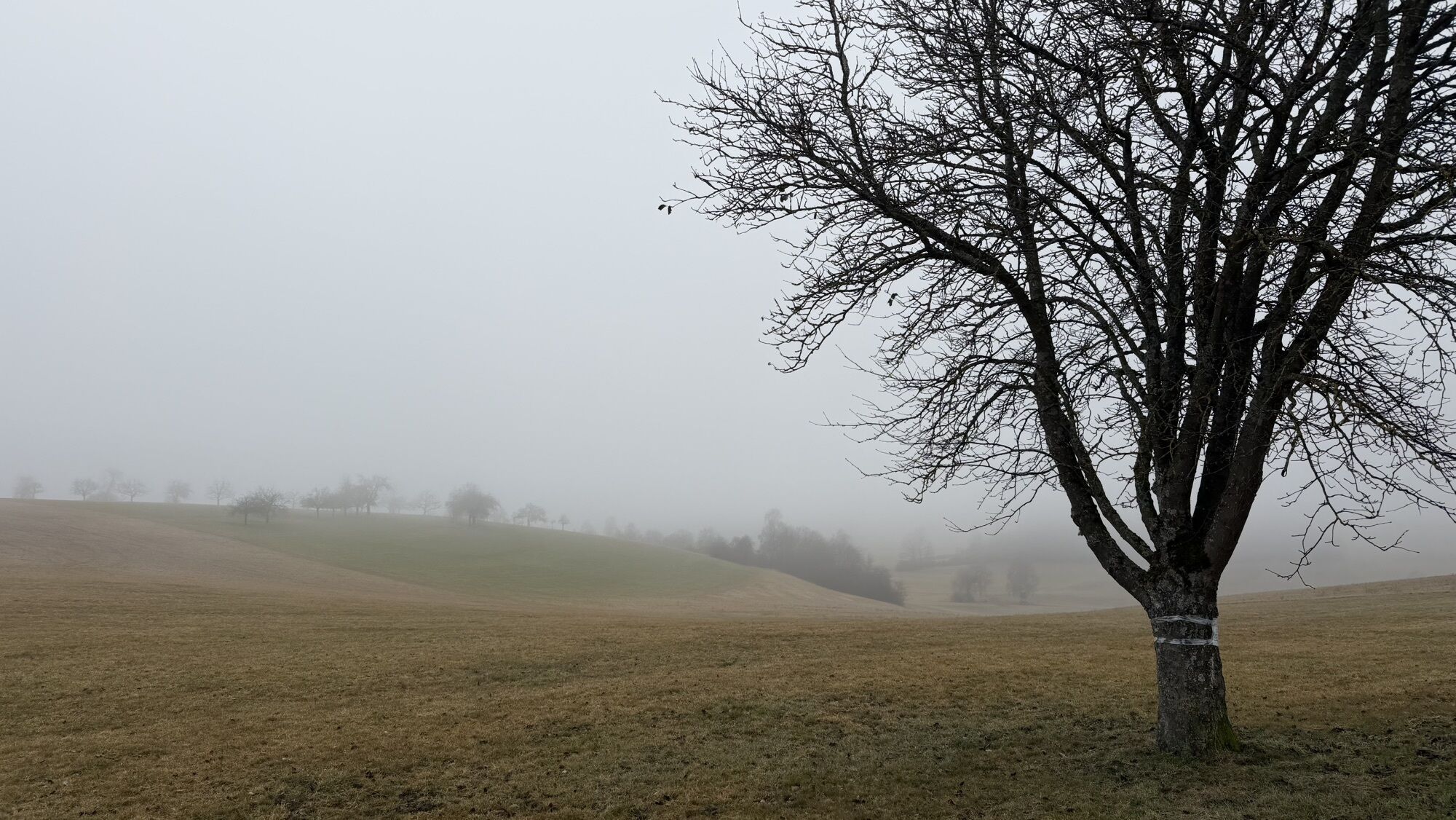
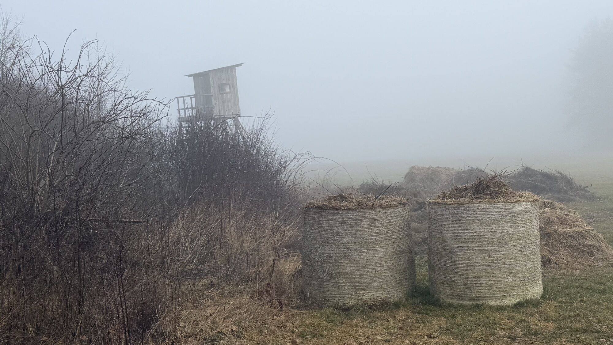
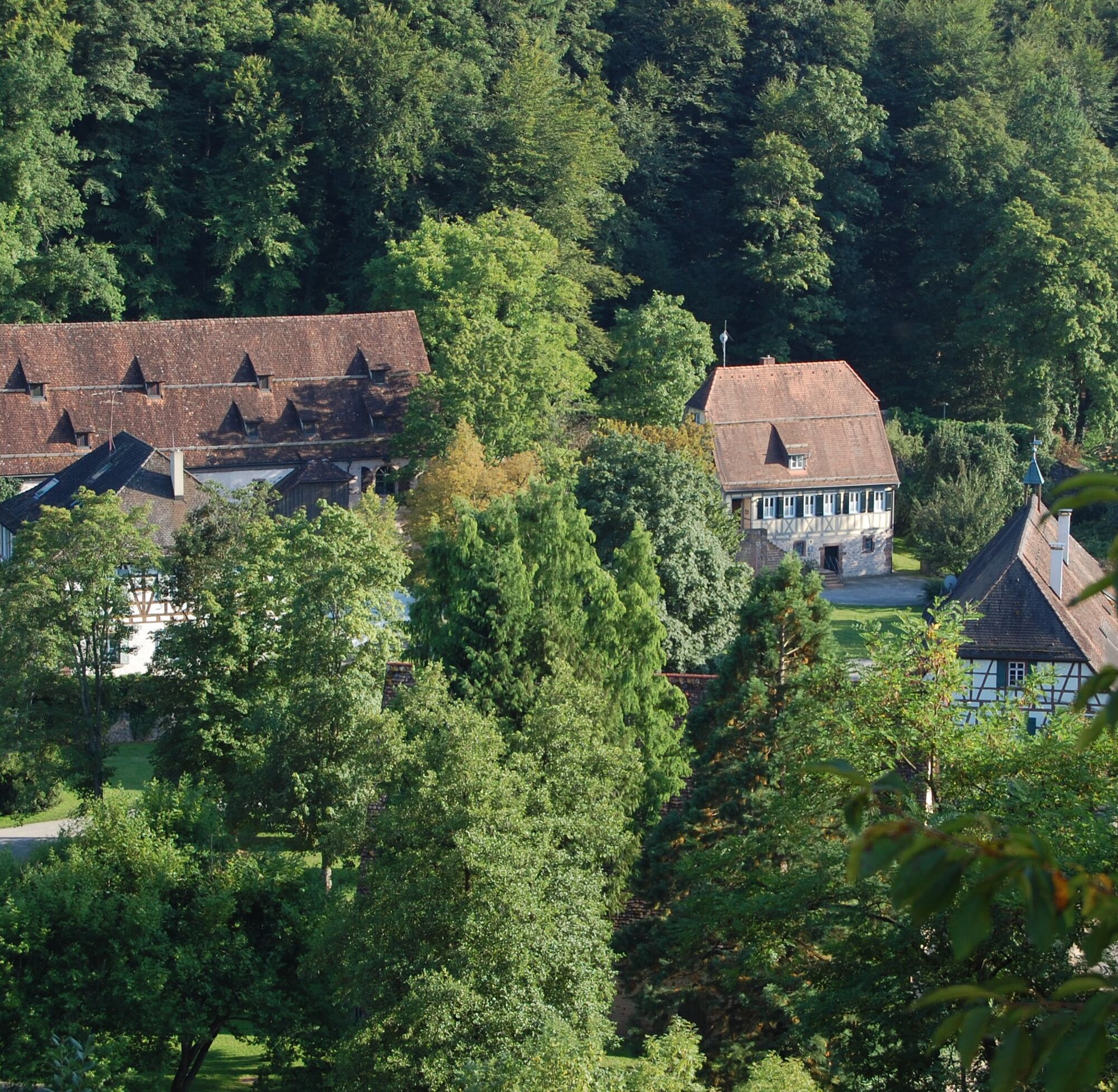
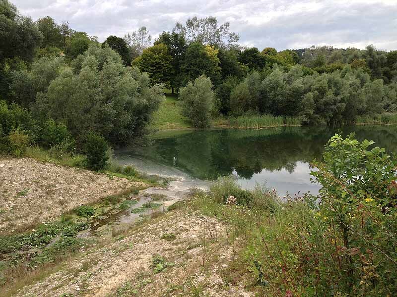
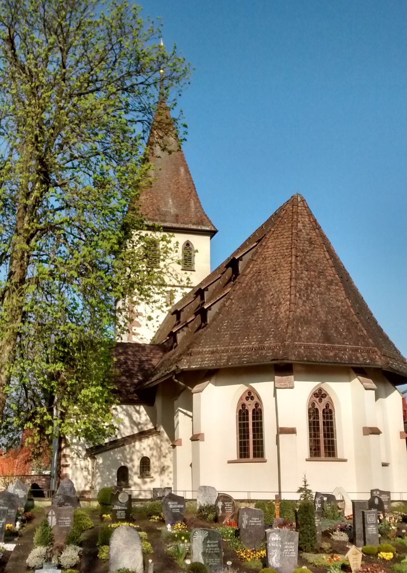
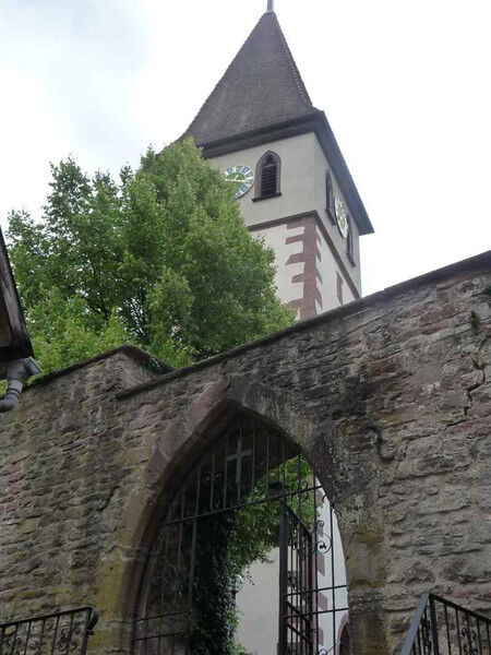
With the Gäurandweg, the Black Forest Association has created a varied long-distance hiking trail. This route lasts 16 kilometers. The path first leads towards Holzbronn, where the viewpoint of the “Augenblickrunde” is already the first highlight for hikers. Then it goes deep into the valley to the nature reserve around the Gültlinger Lake, which due to its tuff ground being too permeable, no longer has its original depth. In Gültlingen, we can admire the Michaelskirche, an old fortified church that served as a protection church for Holzbronn and Gültlingen. Just outside Gültlingen, we find another interesting feature with the former beer cellar of the Krone inn in Gültlingen. This cellar was converted by the Black Forest Association Gültlingen into a winter quarters for bats. The route continues through the Heckengäu to Sulz am Eck, which is crossed. Over meadows and forests, we reach Wildberg, where we conclude at the Reuthin monastery. Return to Calw is then by the Kulturbahn.
Sturdy footwear and clothing appropriate to the weather conditions.
Bathing or entering the Gültlinger Lake is prohibited because there are holes at the bottom of the lake which would otherwise pull you underwater due to the vortex created by these holes.
Exit Pforzheim-West (approx. 25 km); continue via federal road 463 towards Calw, then continue on B296 towards Calw and further towards Stuttgart. Then take B296 right towards Stammheim. Motorway A8 from Ulm/Stuttgart:
Exit Leonberg (approx. 30 km), continue via federal road 295 towards Weil der Stadt to Calw. In Calw, take B296 left towards Stammheim. Motorway A81 from south / Lake Constance:
Exit Gärtringen-City Center (approx. 20 km), continue via K 1075; near Deckenpfronn turn left onto K 1022. At the roundabout take the first exit and continue on B 296 towards Calw-Stammheim. Plan your trip by car at www.map24.de
Arrival by train:
Route Pforzheim - Calw - Horb - Tübingen (Kulturbahn).
Long-distance train connections (EC, IC, ICE) are best reached in Karlsruhe with connecting trains via Pforzheim (Kulturbahn) to Calw.
For arrivals via Stuttgart, we recommend continuing with the S-Bahn S6 Stuttgart - Weil der Stadt with a transfer to bus line 670 to Calw.
Plan your trip at http://reiseauskunft.bahn.de/bin/query.exe/d
Arrival by bus:
Greater Stuttgart area bus line 670 DB Regiobus / Volz; (Calw-Weil der Stadt) connection to S6
Böblingen / Sindelfingen area: Bus line 763 DB Regiobus; Calw-Böblingen (connection to S1)
From the central bus station Calw (ZOB) you can reach Stammheim best with bus lines 770 or 763, stop Rathaus.
Plan your trip at www.efa-bw.de
Parking lot Freibad
or parking garage ZOB in Calw, then continue by bus
www.calw.de/Parken
Priljubljeni izleti v okolici
-
4.0
Wolfsschlucht and Fox Gorge
srednjaPohodništvo 9.74 km -
4.7
Through the wild romantic Schweinbachtal to the Bruderhöhle cave
srednjaPohodništvo 13.8 km -
5.0
Der Teinacher (Premiumweg & Genießerpfad)
srednjaPohodništvo 12.0 km -
5.0
Water, Woods and Meadowtrail / Zavelstein > Calw (Premium trail & Genussweg)
težkoPohodništvo 14.4 km -
5.0
AugenBlick route Bad Teinach-Zavelstein Zettelberg
težkoPohodništvo 15.5 km -
5.0
GeoTour Wildberg through the picturesque Lützenschlucht
težkoPohodništvo 2.80 km -
3.0
Rund um den Schönbuchturm
svetlobaPohodništvo 6.22 km -
4.5
Waldeck ruins and the largest water wheel in Europe
srednjaPohodništvo 15.4 km -
4.0
Through the Lengenbach valley to the historic Burg Liebenzell
srednjaPohodništvo 10.9 km -
5.0
From Altburg over scenic heights to Zavelstein
srednjaPohodništvo 10.6 km

Pohodništvo in sledenje


Ne zamudite ponudb in navdiha za naslednje počitnice
Vaš e-poštni naslov je bil dodan na poštni seznam.