






East route: Bad Liebenzell - Oberhaugstett
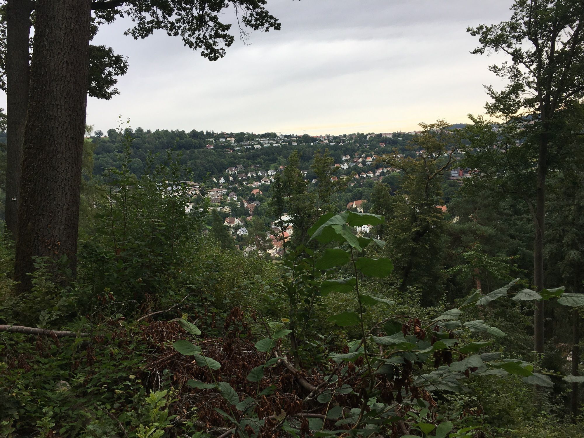
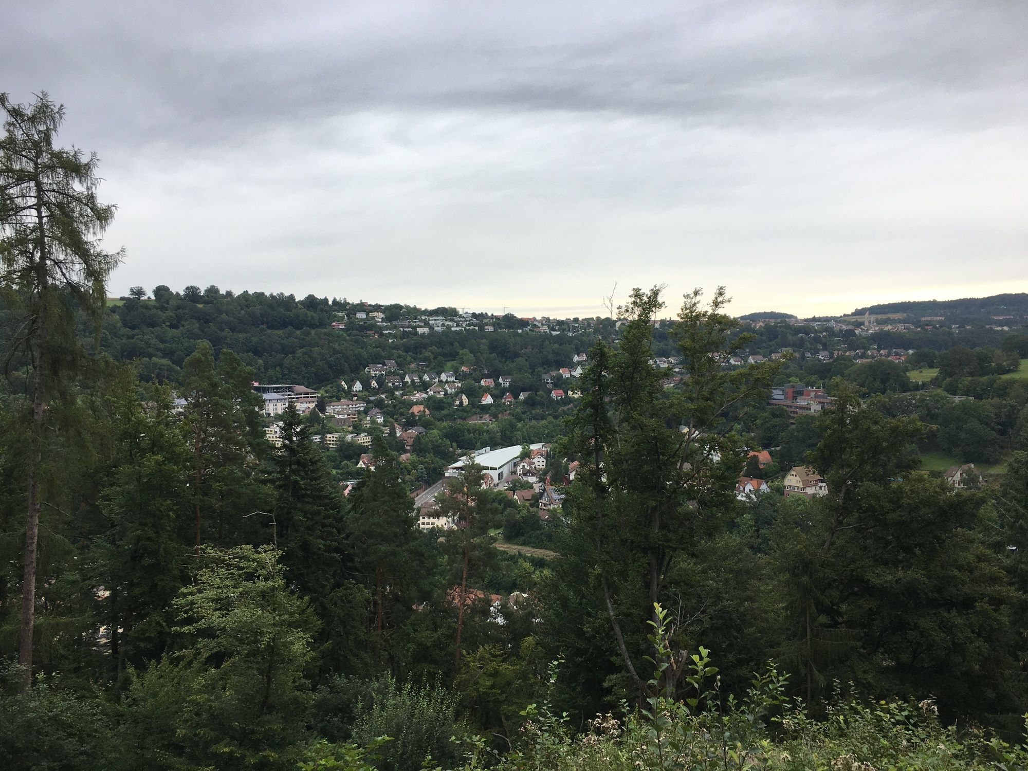
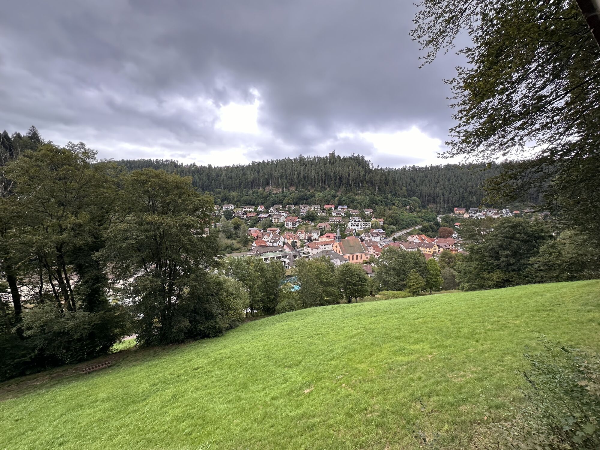
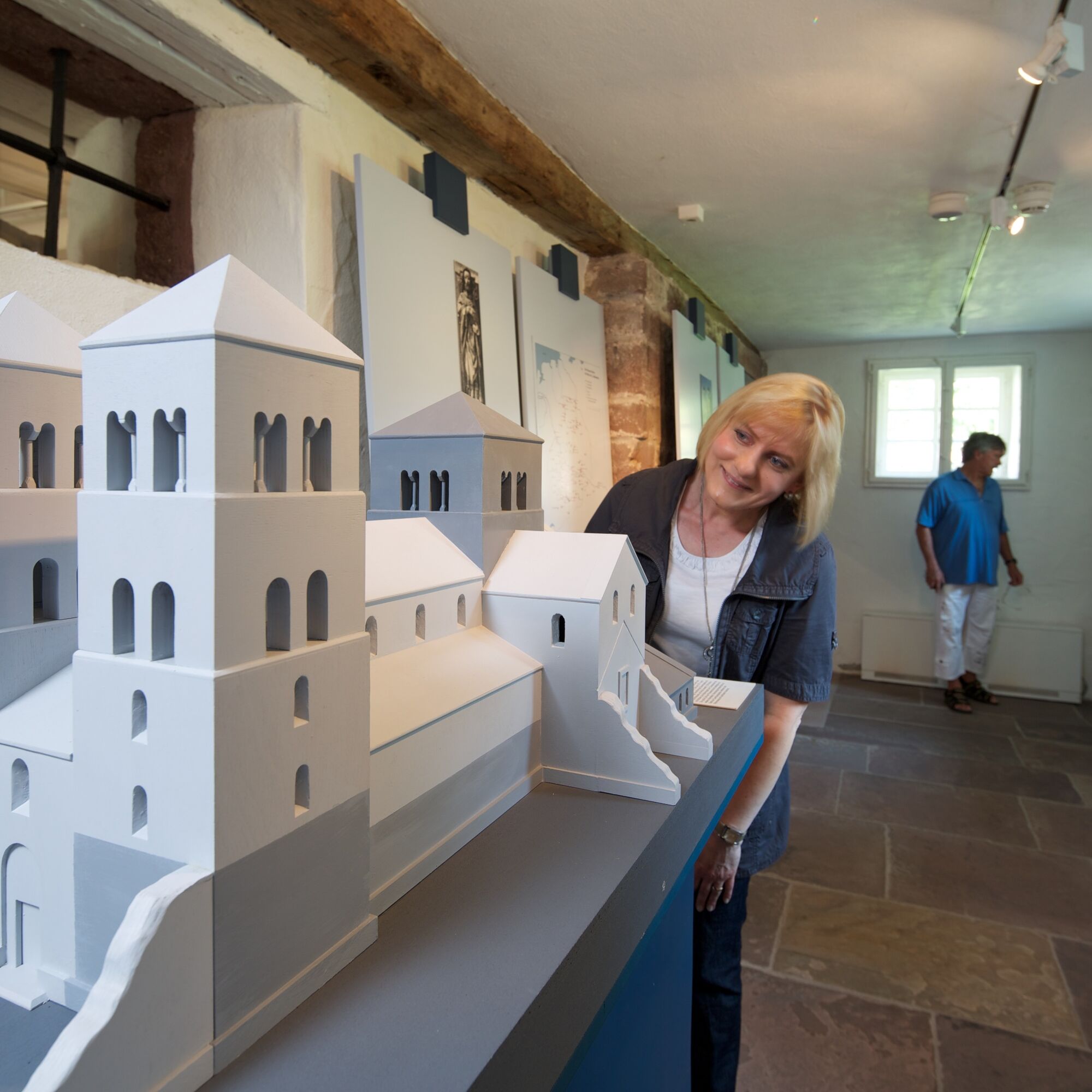
The stage begins in Bad Liebenzell. Past the Kurhaus, we walk through the spa park and follow the Nagold upstream to Hirsau. Here, we encounter the old St. Peter and Paul monastery complex.
Further upstream...
The stage begins in Bad Liebenzell. Past the Kurhaus, we walk through the spa park and follow the Nagold upstream to Hirsau. Here, we encounter the old St. Peter and Paul monastery complex.
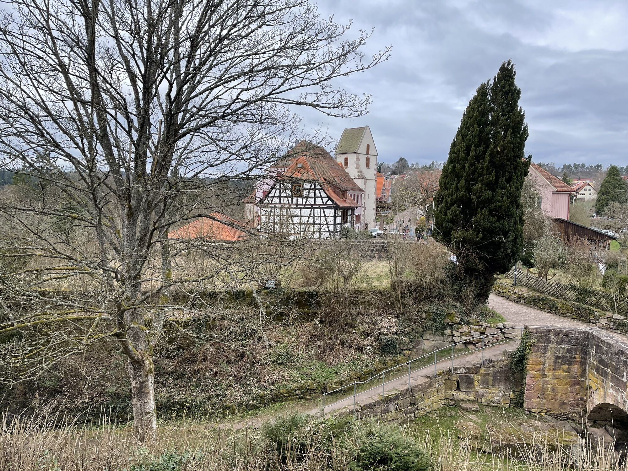
Further upstream along the Nagold, we reach Calw, the hometown of Hermann Hesse, who was awarded the Nobel Prize for Literature in 1946. From Calw, it goes steadily uphill to the plateau of Zavelstein, famous for its crocus meadows. The East route leads right into the center of Zavelstein, once the smallest town in Germany. The East route passes the ruin of Zavelstein and descends to Bad Teinach, a thermal spa town with an impressive ensemble of buildings including a bathhouse, drinking hall, and hotel.
The last part of the stage goes uphill to Oberhaugstett, a district of Neubulach. The mining town of Neubulach offers visitors a great insight into the underground world.
Two ascents from Calw to Gimpelstein and from Bad Teinach to Liebelsberg require some stamina.
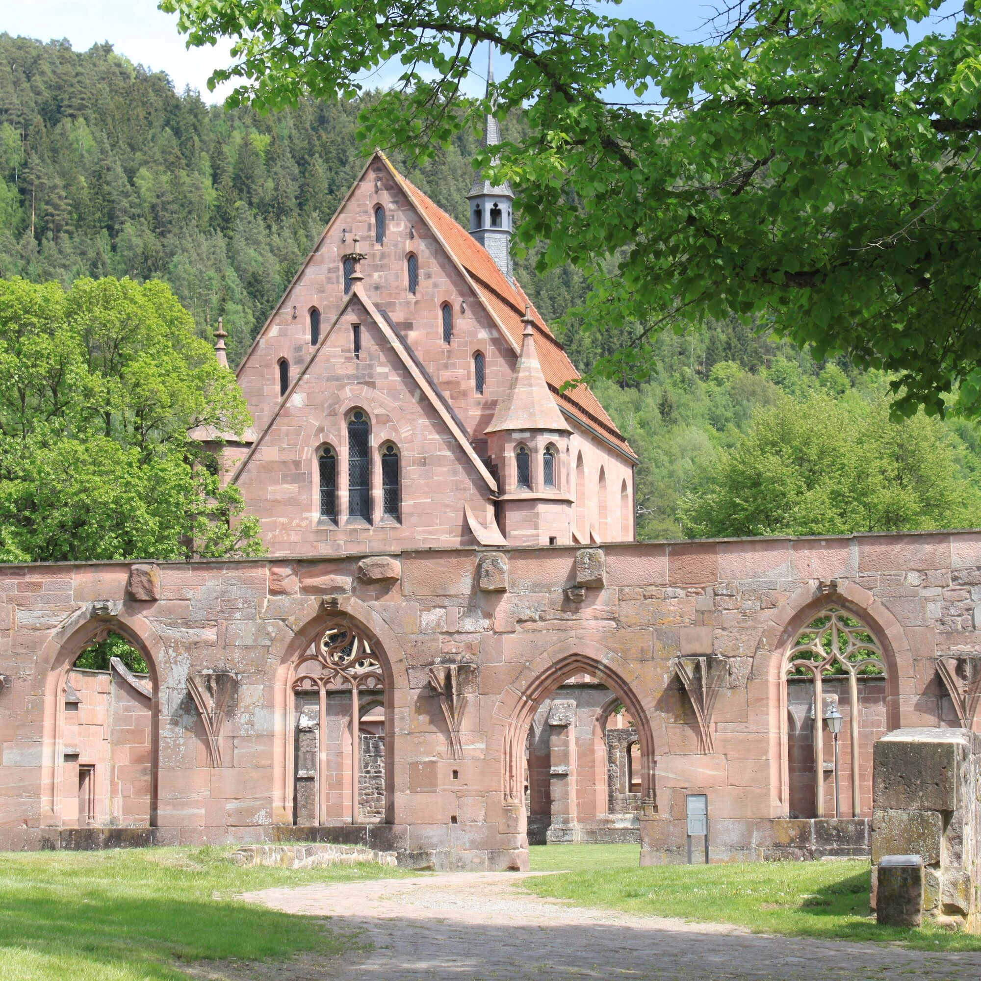
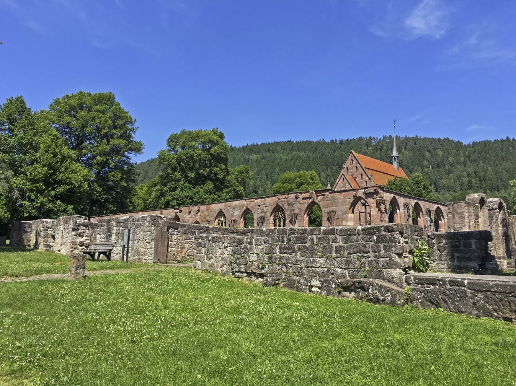
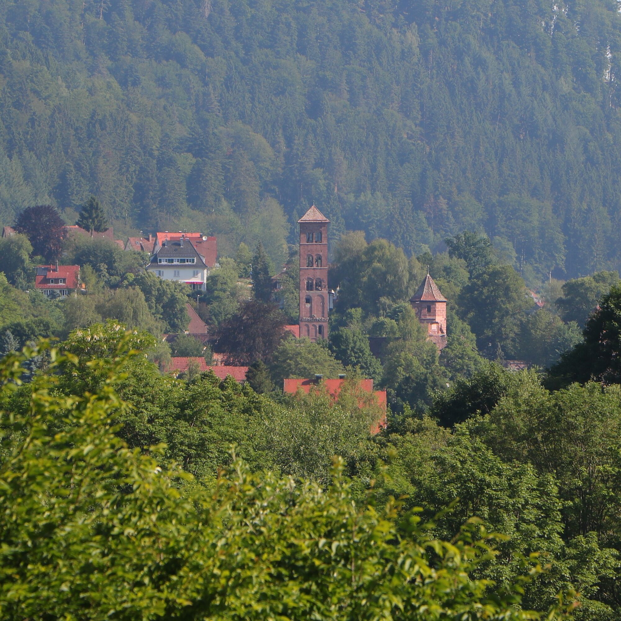
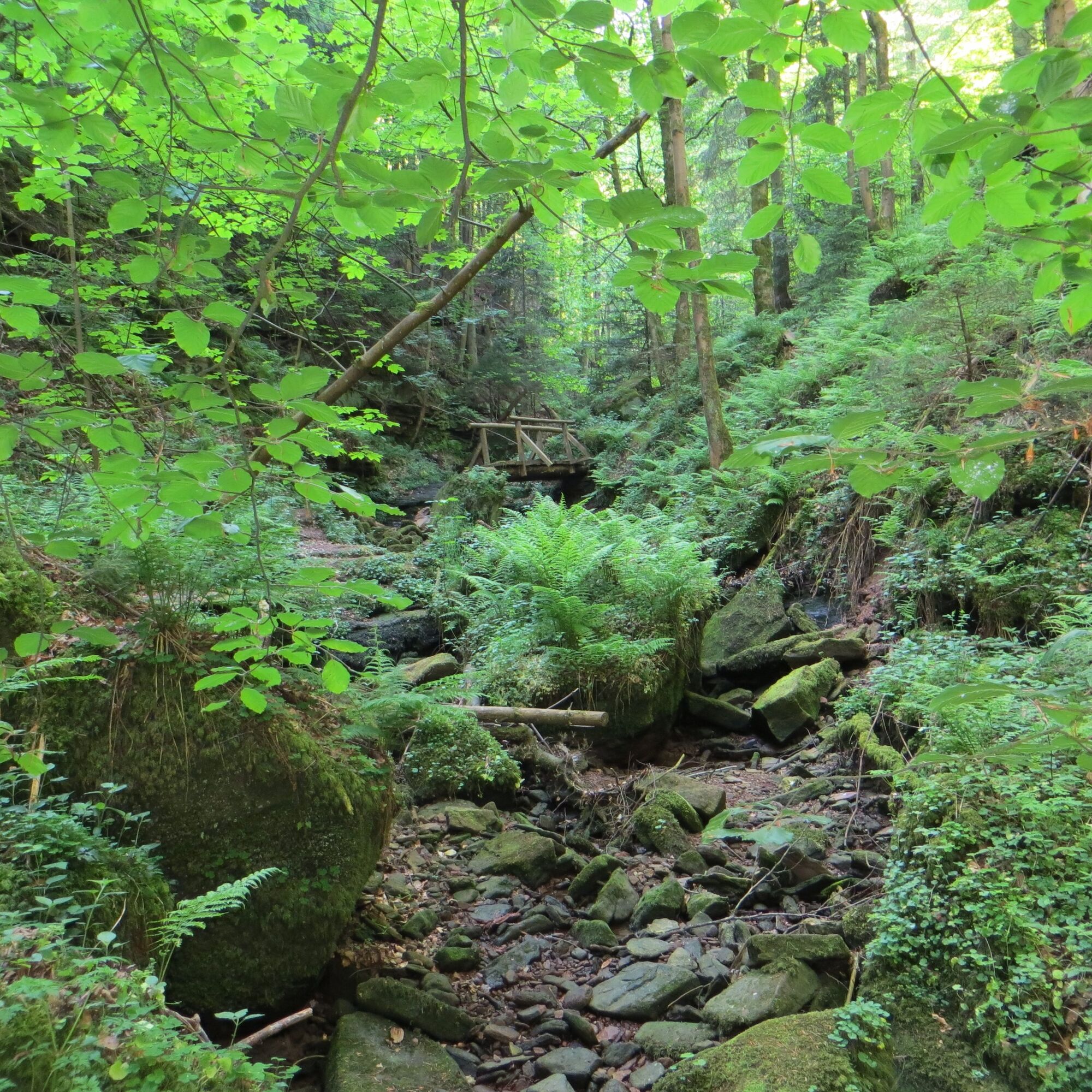
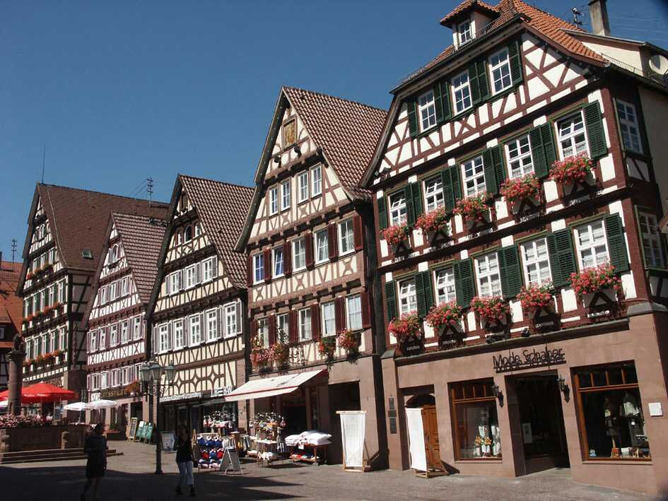
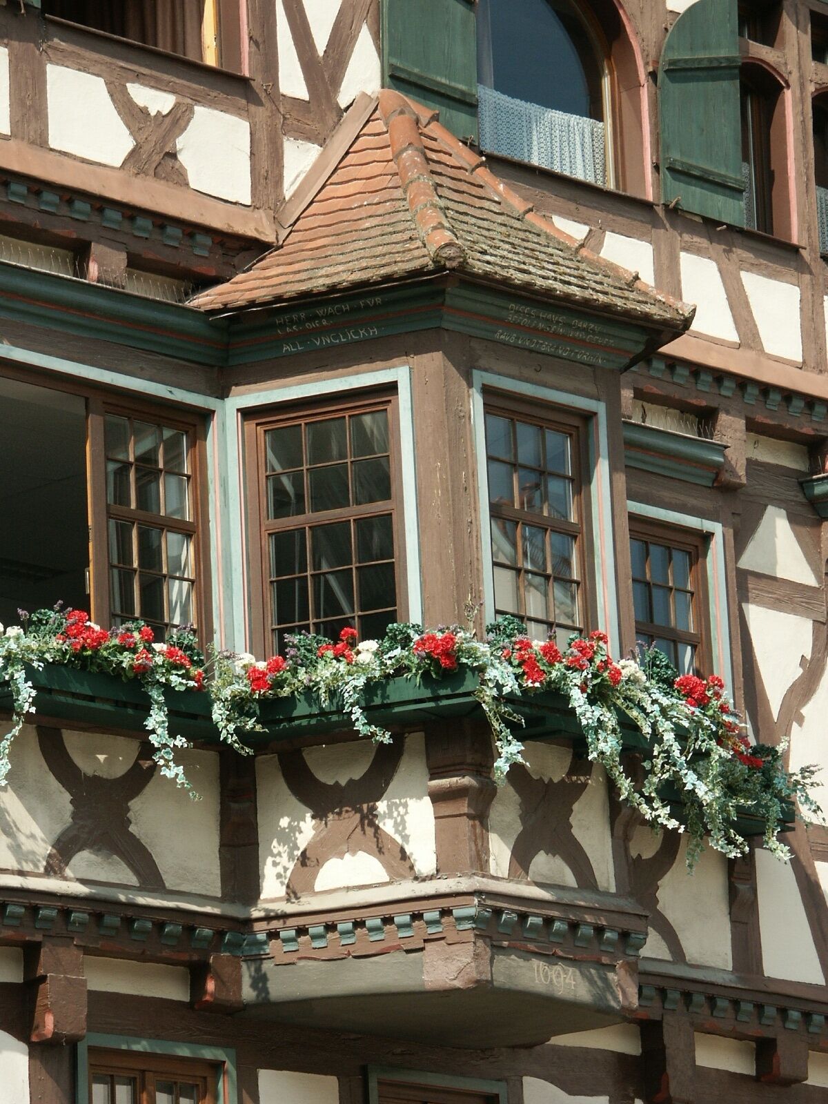
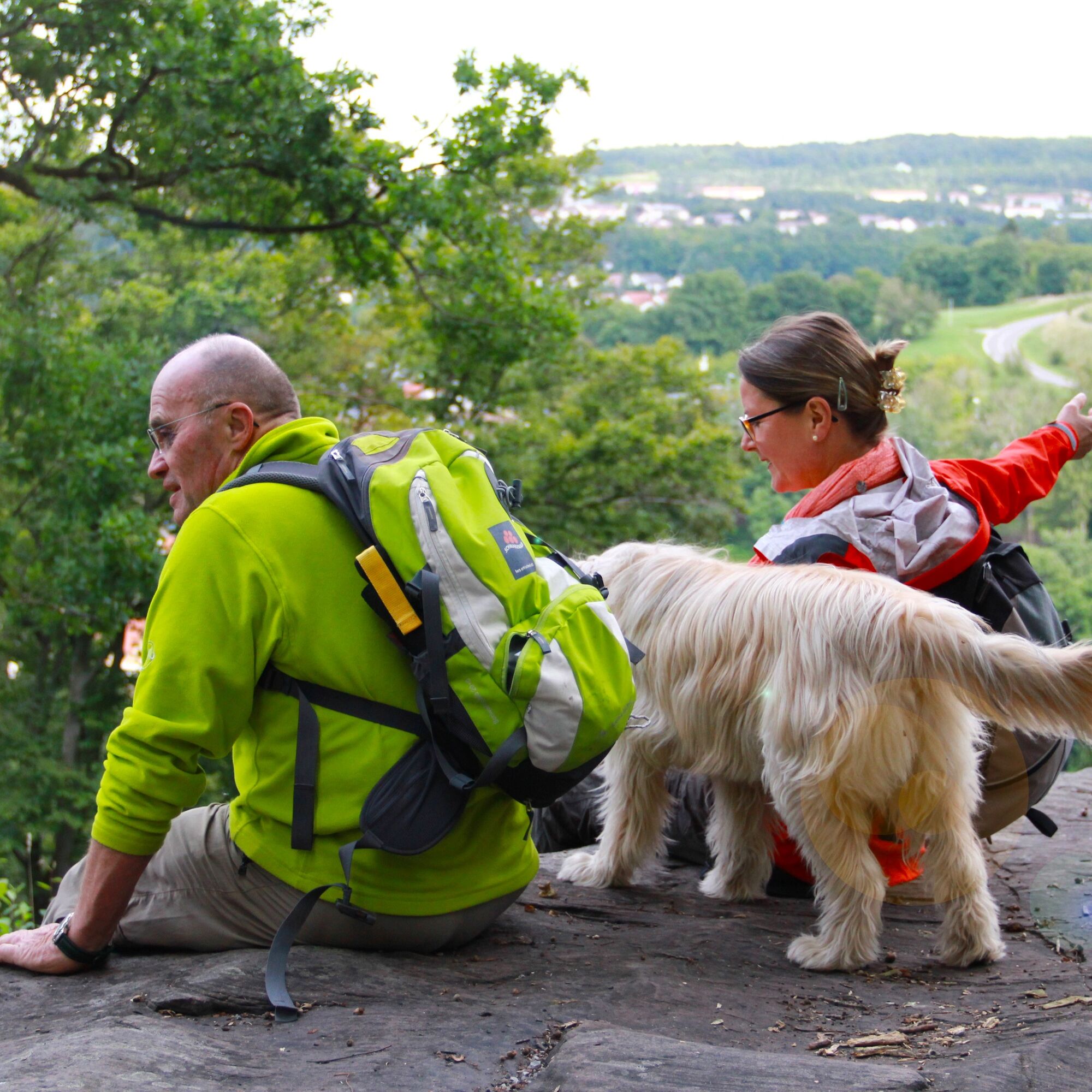

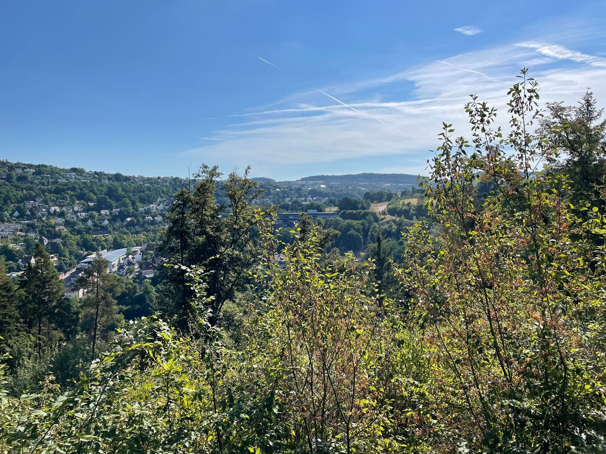
We start at the Kurhaus in Bad Liebenzell or directly at the signpost Bad Liebenzell/Kurpark. There we follow the East route and the Nagold riverbank path. At the end of the spa park, we reach the signpost at the Thermal Hotel, which we pass on the left side. At the signpost Köhlerei, our path turns left towards the Wolfsschlucht and leads steeply uphill. At the Wolfsschlucht junction, we turn right towards Hirsau. On a forest path, we reach the signpost Ottenbronner Berg and continue to the road from Ottenbronn. From here we have a beautiful view of Hirsau with its formerly mighty monastery complex.
In Hirsau, we cross the federal road and reach the signpost Hirsau/Aurelius Monastery in the center of Hirsau.
We follow the road to Wildbad over the Nagold bridge and turn left onto Altburger Weg at the signpost Hirsau after a roundabout and follow the marking towards Calw. At the Panoramastraße junction, we stay right on Altburger Weg. After a short distance, the East route turns left at the signpost Altburger Weg and leads steeply uphill into the forest. Passing a pavilion, the path continues above the Nagold valley. At the signpost Schinderbach, we keep left towards Calw and descend steps to a trail section leading to the edge of Calw. In the center of Calw, the East route turns right into Biergasse, straight uphill we have the Protestant town church in view. Before the church, we turn left into the market square.
We cross the market square towards the town hall, where we turn right into Salzgasse. The path now leads steeply uphill to the signpost Stadtgarten, where we follow the marking towards Zavelstein and quickly gain height via stairs.
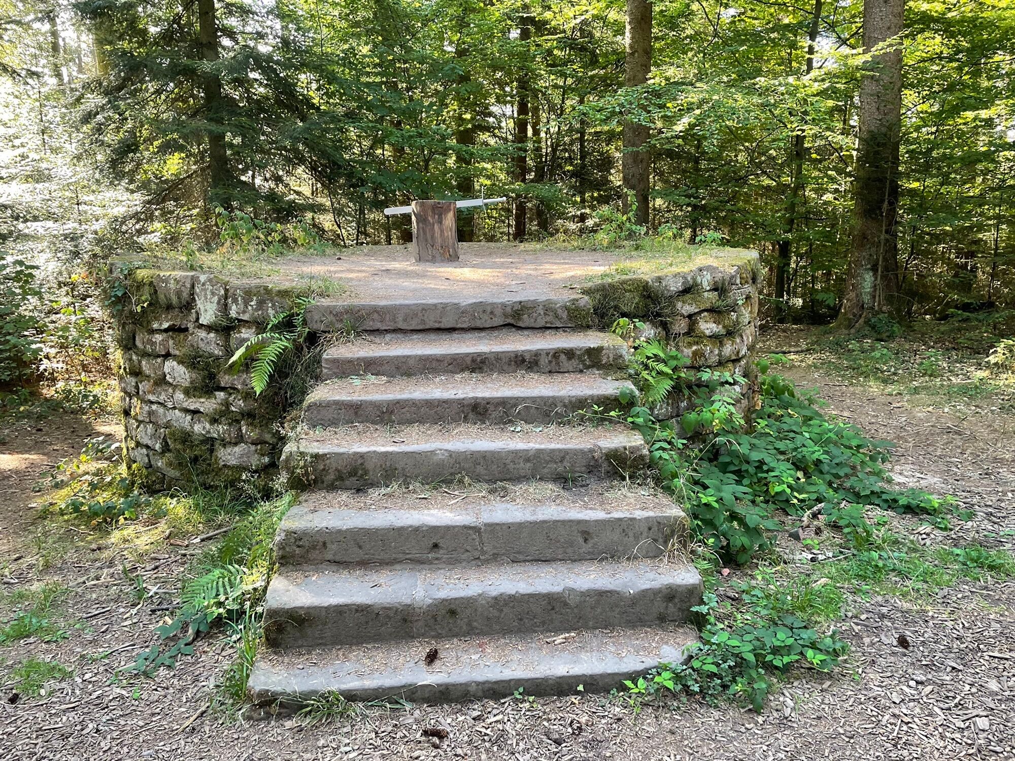
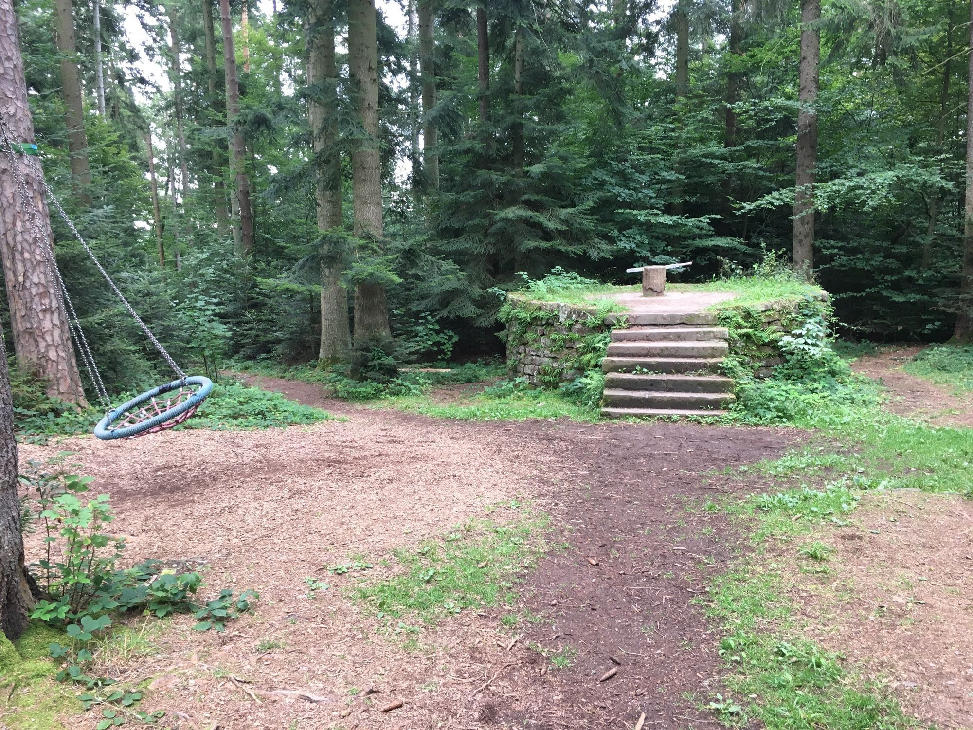
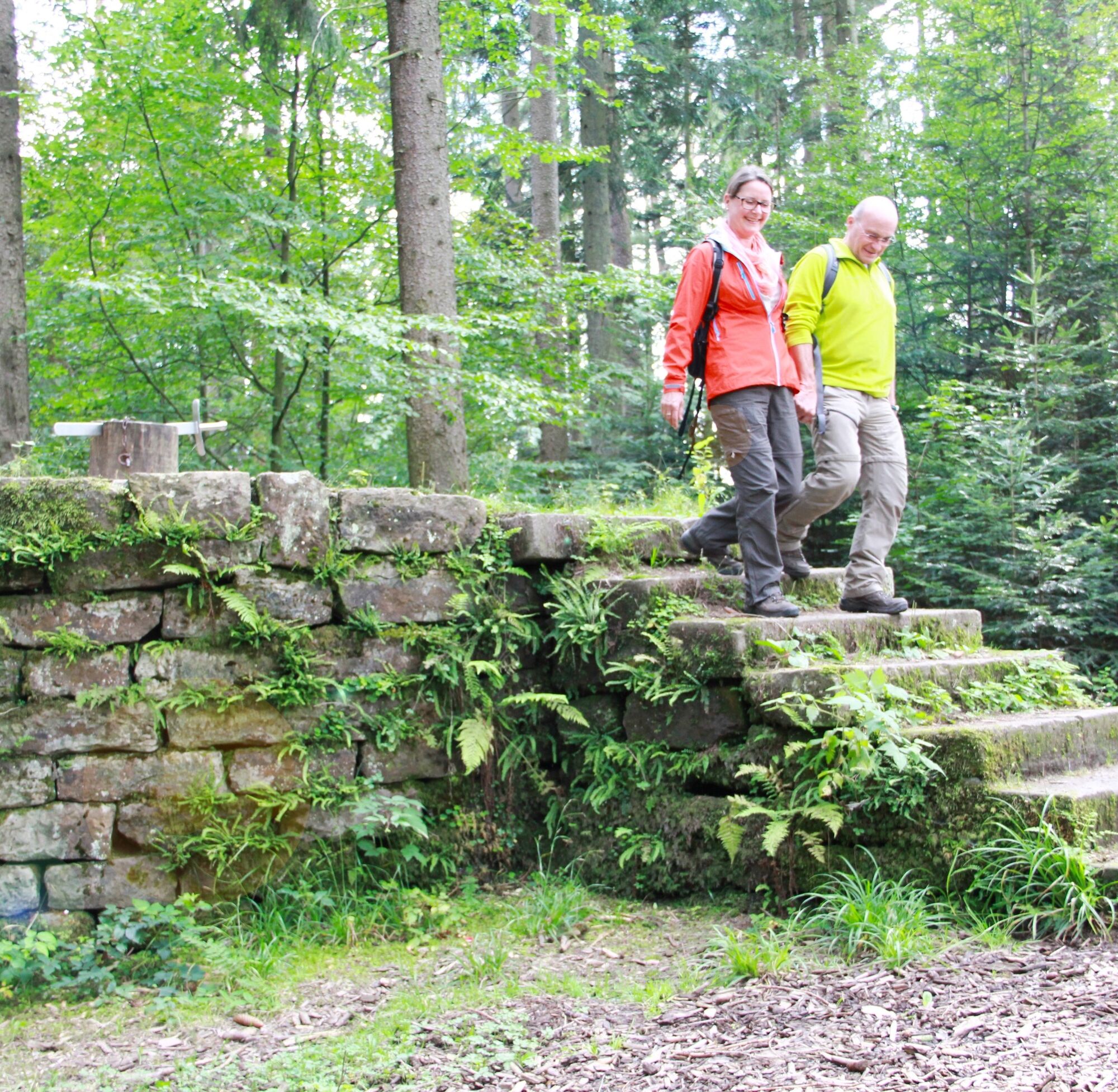
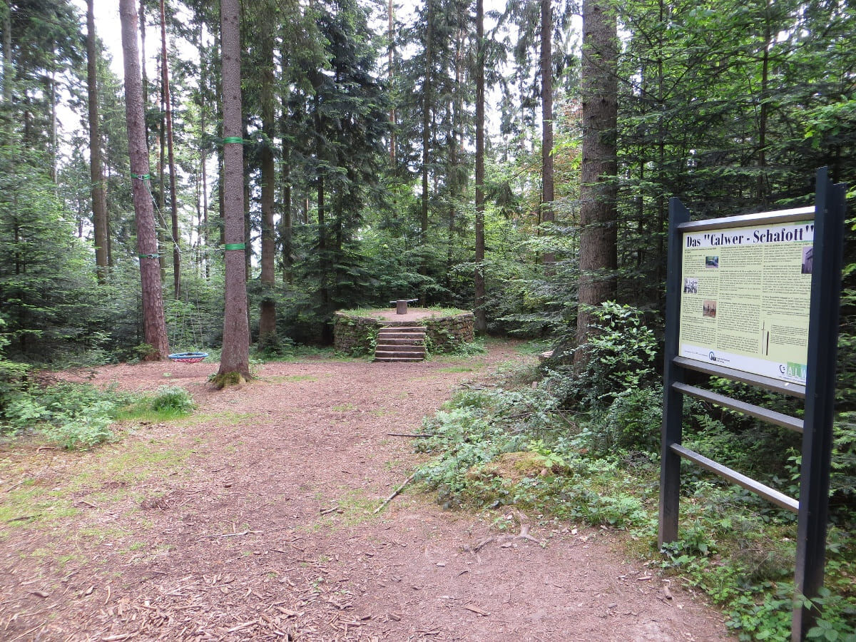
At the signpost Schießbach, we turn left and reach, via a bridge, a further ascending forest path. The East route now runs for a stretch along the water, forest, and meadow path. Up stairs again, we finally reach the viewpoint Gimpelstein at the signpost Annabuchen. Here the view opens wide across to the neighboring valley side. At the end of the climb, we reach a forest road, which we cross, go straight on, and soon reach the Calwer Schafott. At the next junction, we follow the signposts Wildgehege and Wölflesbrunnen towards Zavelsteiner Brückle. After some time, the water, forest, and meadow path turns left; the East route continues straight ahead towards Zavelsteiner Brückle. At the signpost Tannenbusch, we reach a road, turn left, and follow the road along the left side downhill. We go left over the Zavelsteiner Brückle, crossing the Rötelbach, and after the bridge follow the forest path uphill over steps and roots. After a short climb, we turn left at the junction towards Zavelstein. We cross a road and continue along the forest edge by the crocus meadows of Zavelstein, past the signposts Unterer Waldacker and Oberer Waldacker. At the signpost Schnappenrad, we follow the marking towards Zavelstein on the Spinnerin-Kreuz-Weg downhill and reach the market square of Zavelstein at the signpost Zavelstein/Schulstraße.
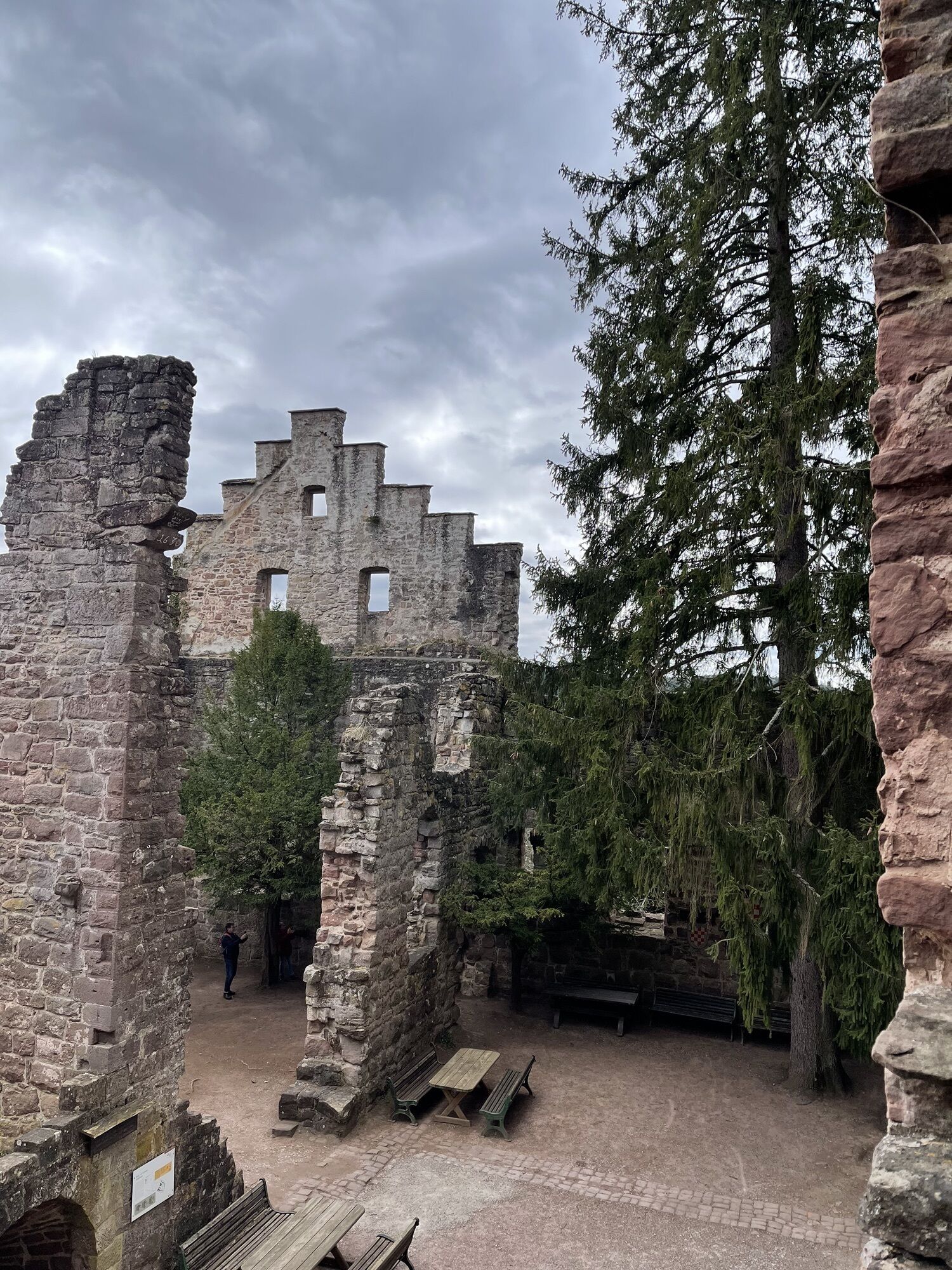
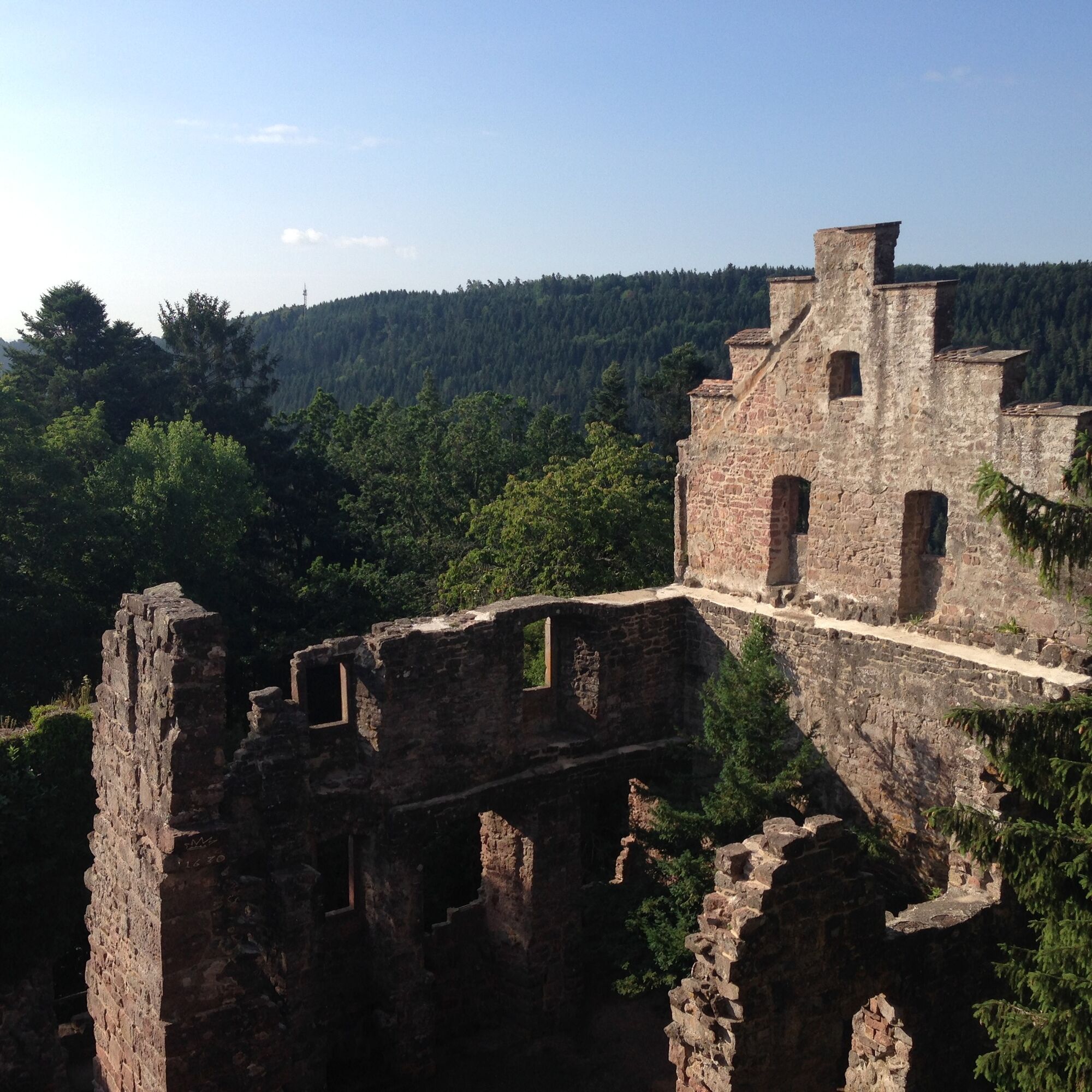
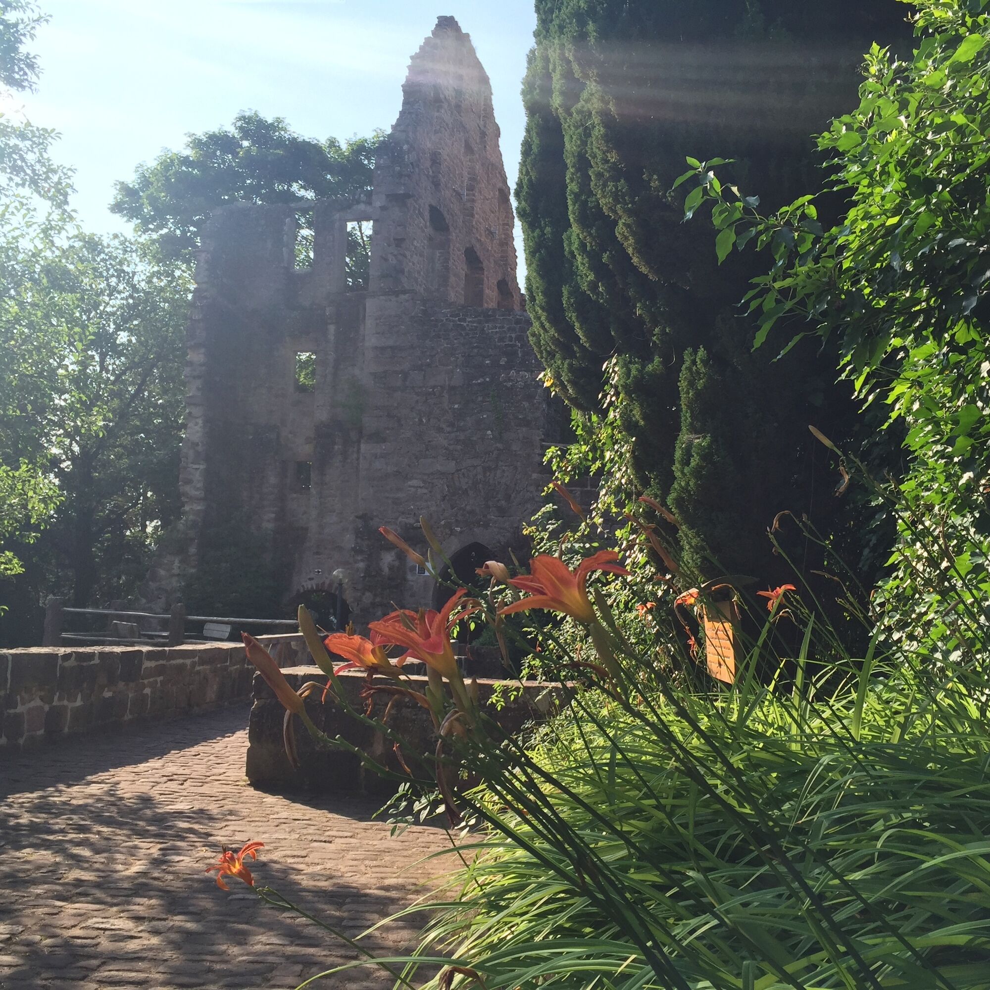
In the center of Zavelstein, we turn into Im Städtle street, at the end of which lies the ruin of Zavelstein Castle. The tower of the ruin offers a fantastic panoramic view over the Teinach and Nagold valleys.
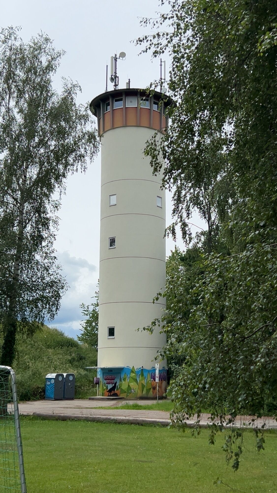
The East route passes to the left of the entrance to the ruin onto a forest path, where we go steeply downhill over stairs towards Bad Teinach. At the signposts Weihreute and Bad Teinach/Uhlandstraße, we continue on the marked path downhill towards the center of Bad Teinach. At the signpost Bad Teinach/Rathaus, we turn right into Untere Talstraße and reach the spa facilities with the mineral thermal bath of Bad Teinach. At the end of the spa park, it goes steeply uphill and at the signpost Bad Teinach/Dr.Wurm-Stein, we continue uphill via stairs towards Liebelsberg. At the height at the signpost Liebelsberg/Wasserturm, we keep right towards Liebelsberg town center. At the signpost Liebelsberg, we follow the marking towards Oberhaugstett to the center of Oberhaugstett.
(Source: Schwarzwaldverein e.V.)
Sturdy footwear, supplies, map material
Bad Liebenzell is accessible from Pforzheim and Nagold via the B463.
Bad Liebenzell is connected to the Deutsche Bahn network. The Kultur train connects the entire Nagold valley from Pforzheim to Horb or Tübingen.
There is a bus connection to the city of Calw to and from Oberhaugstett.
Parking is available in Bad Liebenzell on Regulastraße or directly at the train station.
Tourism GmbH Northern Black Forest
Sonnenweg 5
75378 Bad Liebenzell
Tel.: 07052 81 69 770
info@mein-schwarzwald.de
www.mein-schwarzwald.de
A visit to the monastery complex in Hirsau as well as the castle ruin in Zavelstein is worthwhile and transports you to magnificent past times.
Pridobite vpogled Vedno v živo na mestu z več kot 9.500 spletnimi kamerami. bergfex Kot uporabnik Pro si lahko zdaj ogledate ustrezne spletne kamere za številne izlete v aplikaciji izleti iz. Tako si lahko neposredno ogledate trenutne razmere. Priljubljeni izleti v okolici
- 4,7
Hiking through the Monbach Gorge in search of the kingfisher
srednjaPohodništvo 10,5 km - 5,0
Wild romantic Monbach Valley
svetlobaPohodništvo 6,25 km - 4,0
Wolfsschlucht and Fox Gorge
srednjaPohodništvo 9,74 km - 4,7
Through the wild romantic Schweinbachtal to the Bruderhöhle cave
srednjaPohodništvo 13,8 km - 5,0
Der Teinacher (Premiumweg & Genießerpfad)
srednjaPohodništvo 12,0 km - 5,0
Water, Woods and Meadowtrail / Zavelstein > Calw (Premium trail & Genussweg)
težkoPohodništvo 14,4 km - 5,0
From Bieselsberg into the wild Monbach valley - dream route on small paths
težkoPohodništvo 18,0 km - 5,0
AugenBlick route Bad Teinach-Zavelstein Zettelberg
težkoPohodništvo 15,5 km - 5,0
Rundwanderweg Sulzkar
srednjaPohodništvo 12,4 km - 5,0
Hike through the idyllic Kälbertal
srednjaPohodništvo 8,01 km
Pohodništvo in sledenje


Ne zamudite ponudb in navdiha za naslednje počitnice
Vaš e-poštni naslov je bil dodan na poštni seznam.





