


Baiersbronner Himmelsweg: Monk Route Klosterreichenbach
Stopnja težavnosti: T2
The circular trail begins at the historic Münster Church of Klosterreichenbach and runs through the park areas to Dornstetter Weg. After a short time, you reach the Klosterquelle with the pavilion of the...
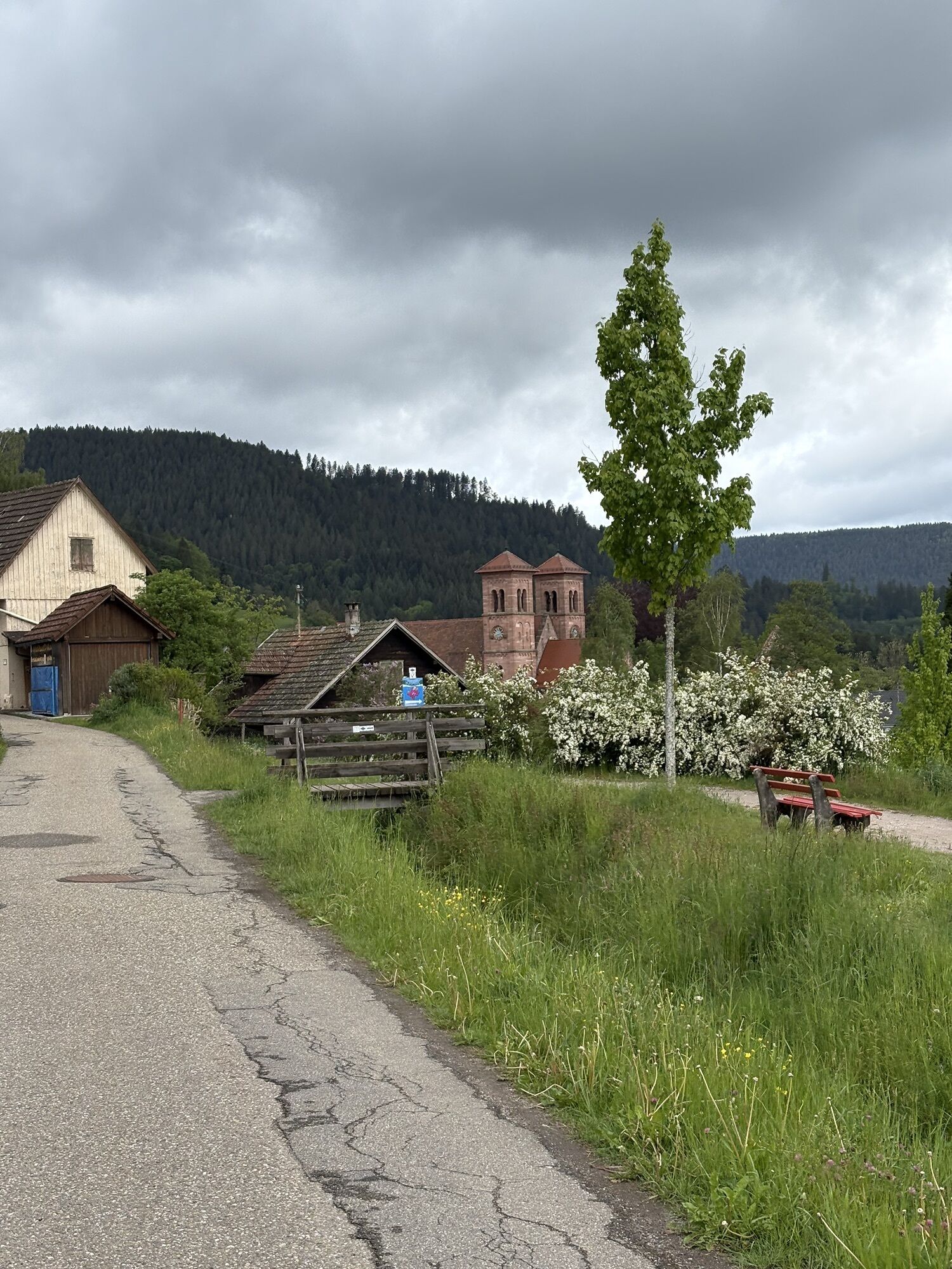
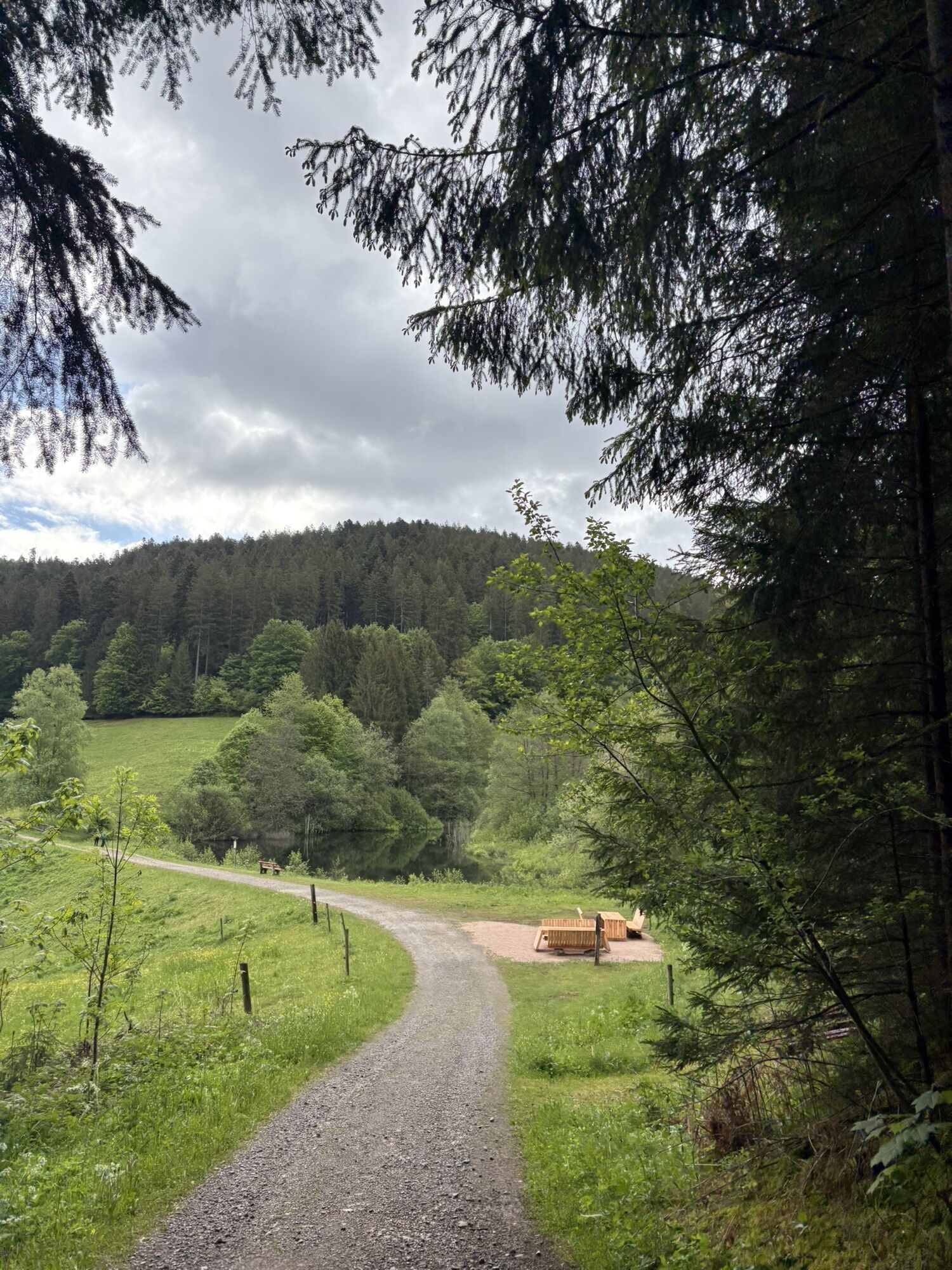
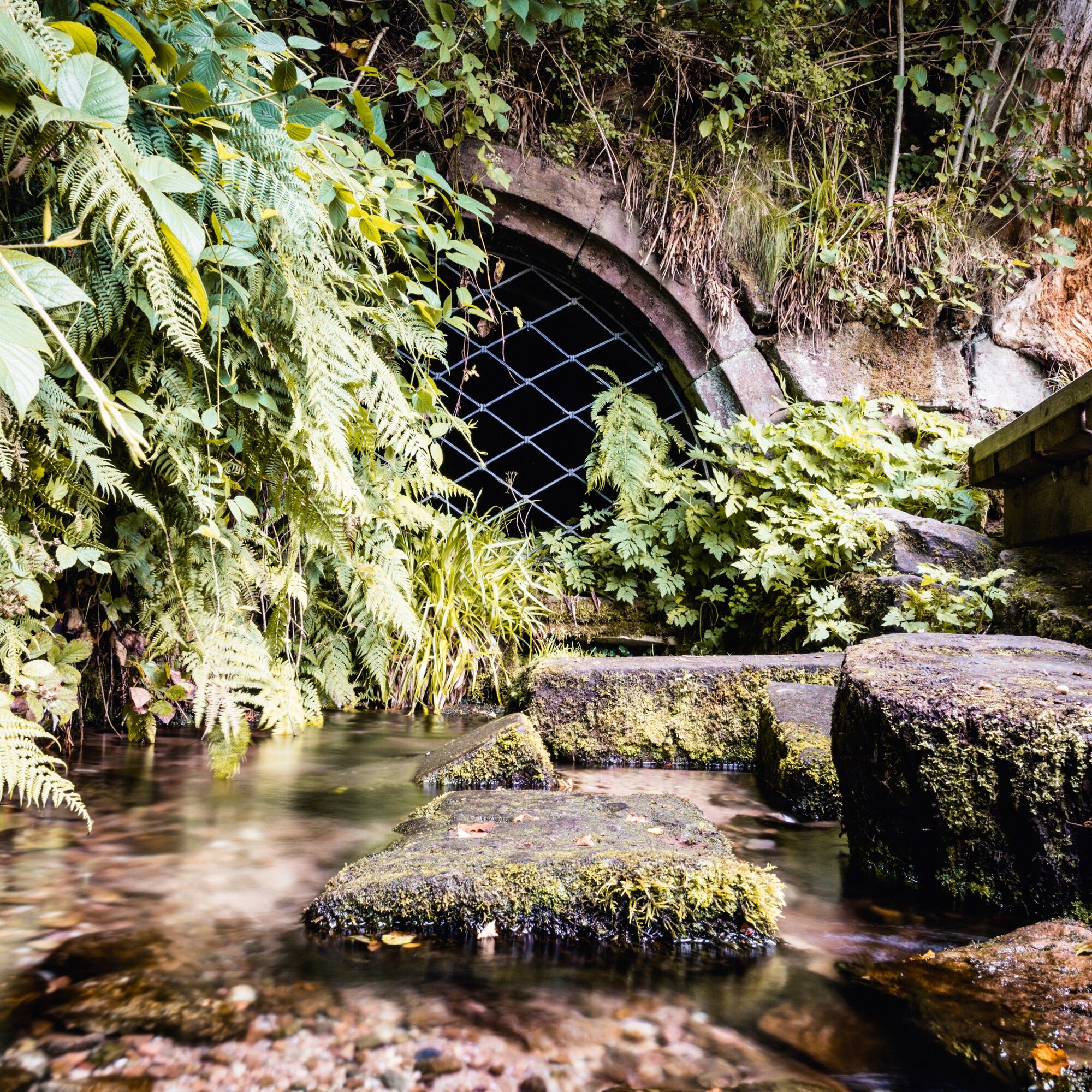
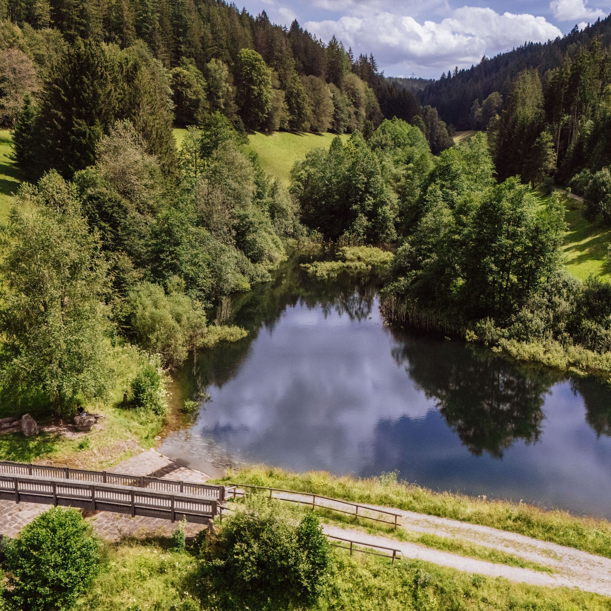
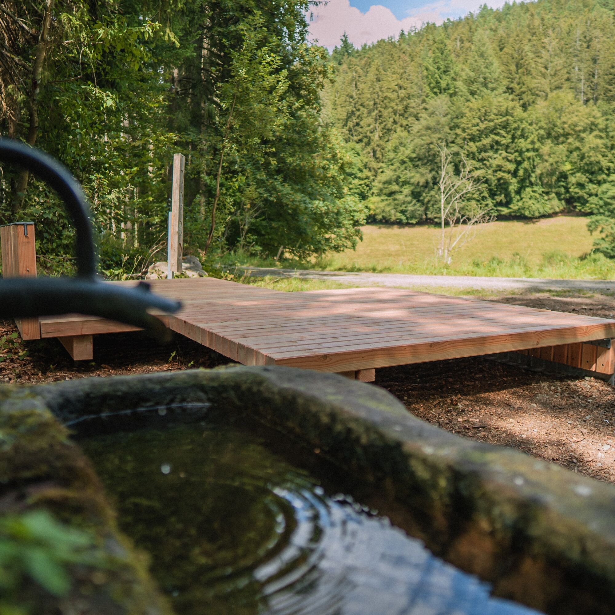
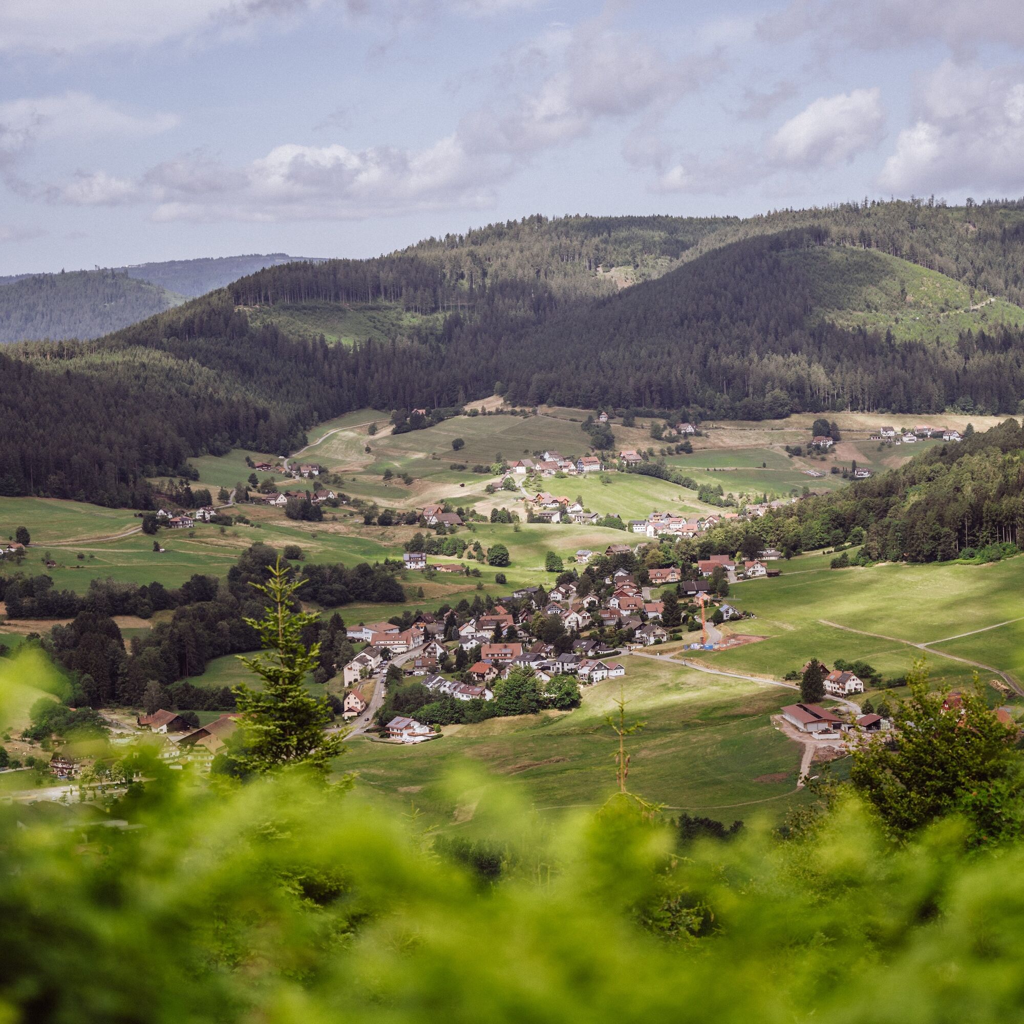
The circular trail begins at the historic Münster Church of Klosterreichenbach and runs through the park areas to Dornstetter Weg. After a short time, you reach the Klosterquelle with the pavilion of the Black Forest Association. Further down in the valley you reach the Märtesweiher, an artificially created small lake that offers an ideal habitat for various species. Past the enjoyment spot at Simonsbrunnen, the path continues to the Stoffelshütte. On shady paths and trails, we hike uphill to the Glasbrunnen hidden deep in the forest. Away from the hustle and bustle, we go from there to the Peace Tree and further to the Himmelsliege at Rußenkopf. The Zimmerplatzhütte, with its magnificent view over the Murgtal and its side valleys, is an ideal place to enjoy the packed lunch. Over the Rosenbergweg, we now hike back down to the valley in a short time. At the end of the hike, the local gastronomy invites you to stop by or you can enjoy the heated outdoor pool, playground, and natural golf course to conclude the hike.

The path is marked as one of the Baiersbronner Himmelswege with a monk as the trail sign.
Sequence of locations: Swimming pool golf course - Dornstetter Weg - Reichenbach - Klosterquelle - pavilion - old forest - Scheidgrund - Stoffelshütte - Stoffelswald - Igelberger Sträßle - Hirschkopf - Schönblickweg - Misseleweg - Rußenkopf - Zimmerplatz - Rosenberg - Rosenbergweg - Dornstetter Weg - swimming pool golf course
Sturdy footwear, rain jacket, drinks, and snacks are recommended
There are no dining options along the route!
The hiking information center offers hiking poles and backpacks for rent, among other things. More information at www.baiersbronn.de/verleih
Please check in advance the current trail closures or contact the Baiersbronn Hiking Information Center to find out if the route is open. Tel.: +49 7442 8414-66
B462 from Baiersbronn towards Rastatt
S-Bahn station Klostereichenbach
Parking lot at the mini golf course or Klosterreichenbach swimming pool
T2
Pay attention to the information boards of the experience trail "Of Monks and Feudal Farmers" and immerse yourself in the local history and the history of the Benedictine monks and feudal farmers of Klosterreichenbach.
Spletne kamere s turneje
Priljubljeni izleti v okolici
- 4,7
Kniebiser Heimatpfad - Wandern mit Genuss
svetlobaPohodništvo 9,07 km - 4,0
Sankenbachwasserfälle und Glasmännlehütte am Stöckerkopf
srednjaPohodništvo 12,8 km - 5,0
Naturgewalten-Tour
Pohodništvo 15,6 km - 5,0
Bannwald-Tour
Pohodništvo 13,3 km - 4,6
Bad Rippoldsau - Cafe & Restaurant Zum Schlüssel - Klösterle - Burgbachwasserfall
srednjaPohodništvo 11,2 km - 4,7
premium hiking trail Enzquellenpfad
srednjaPohodništvo 19,9 km - 5,0
Kniebis-Sankenbachwasserfälle-Sankenbachsee
srednjaPohodništvo 7,98 km - 4,0
Eiszeit-Tour
Pohodništvo 11,7 km - 2,6
Genießerpfad zum Panoramastüble
Pohodništvo 10,6 km Über die Alexanderschanze zum Ellbachsee
Pohodništvo 11,1 km

Pohodništvo in sledenje


Ne zamudite ponudb in navdiha za naslednje počitnice
Vaš e-poštni naslov je bil dodan na poštni seznam.