



Hohenstaufen Castle Loop Trail

Stopnja težavnosti: T1
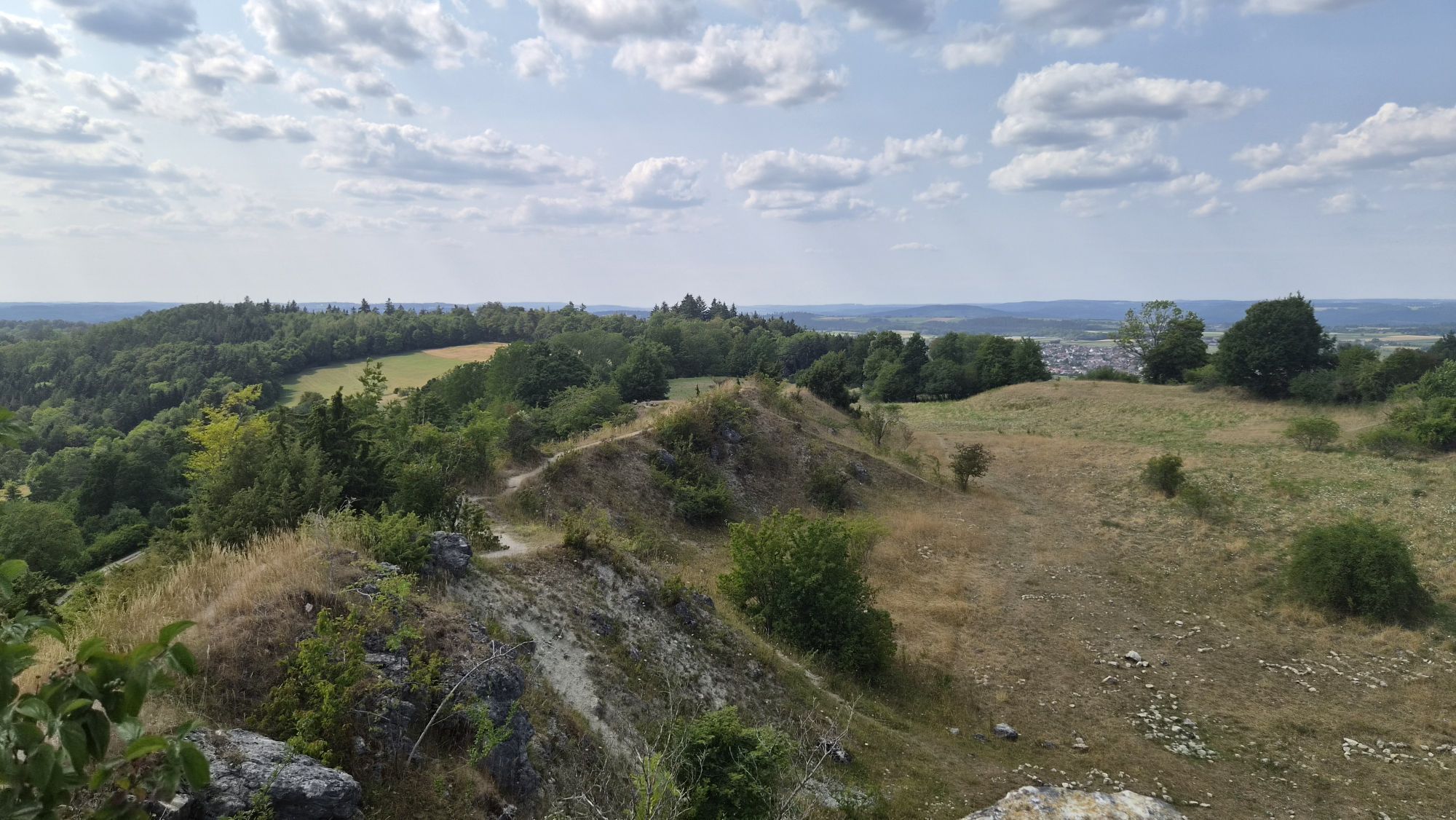
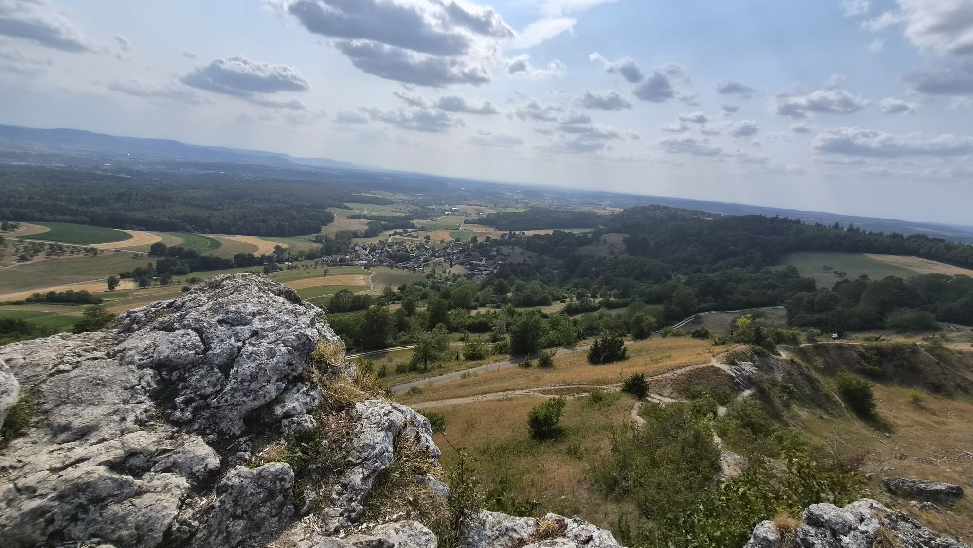
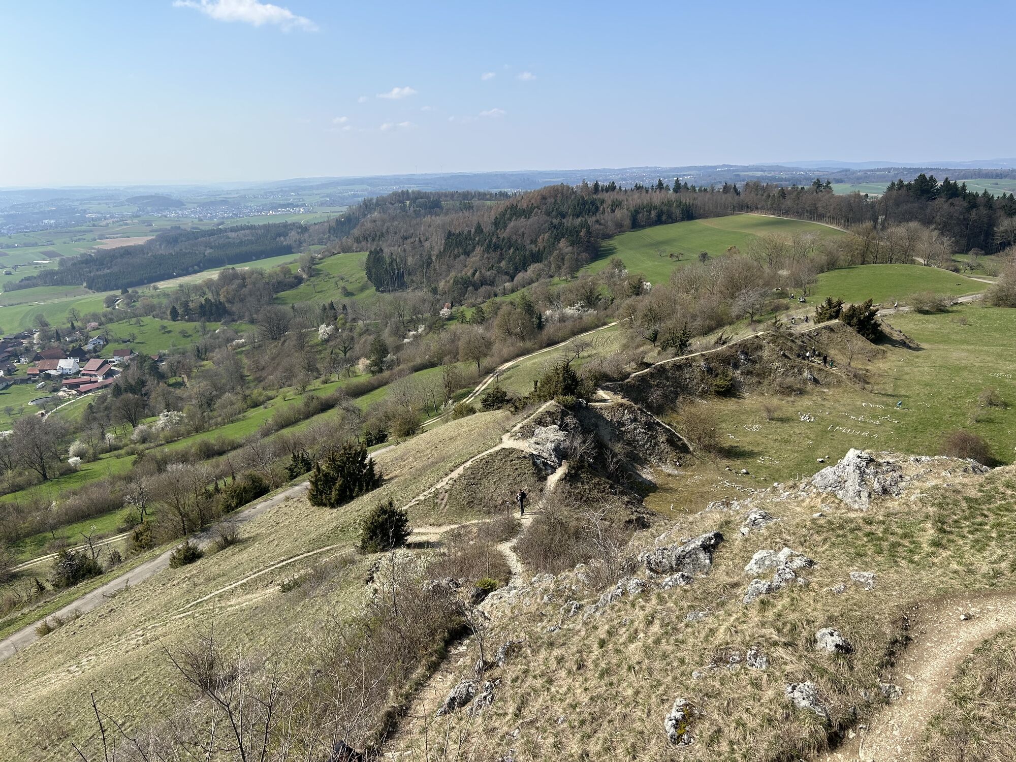
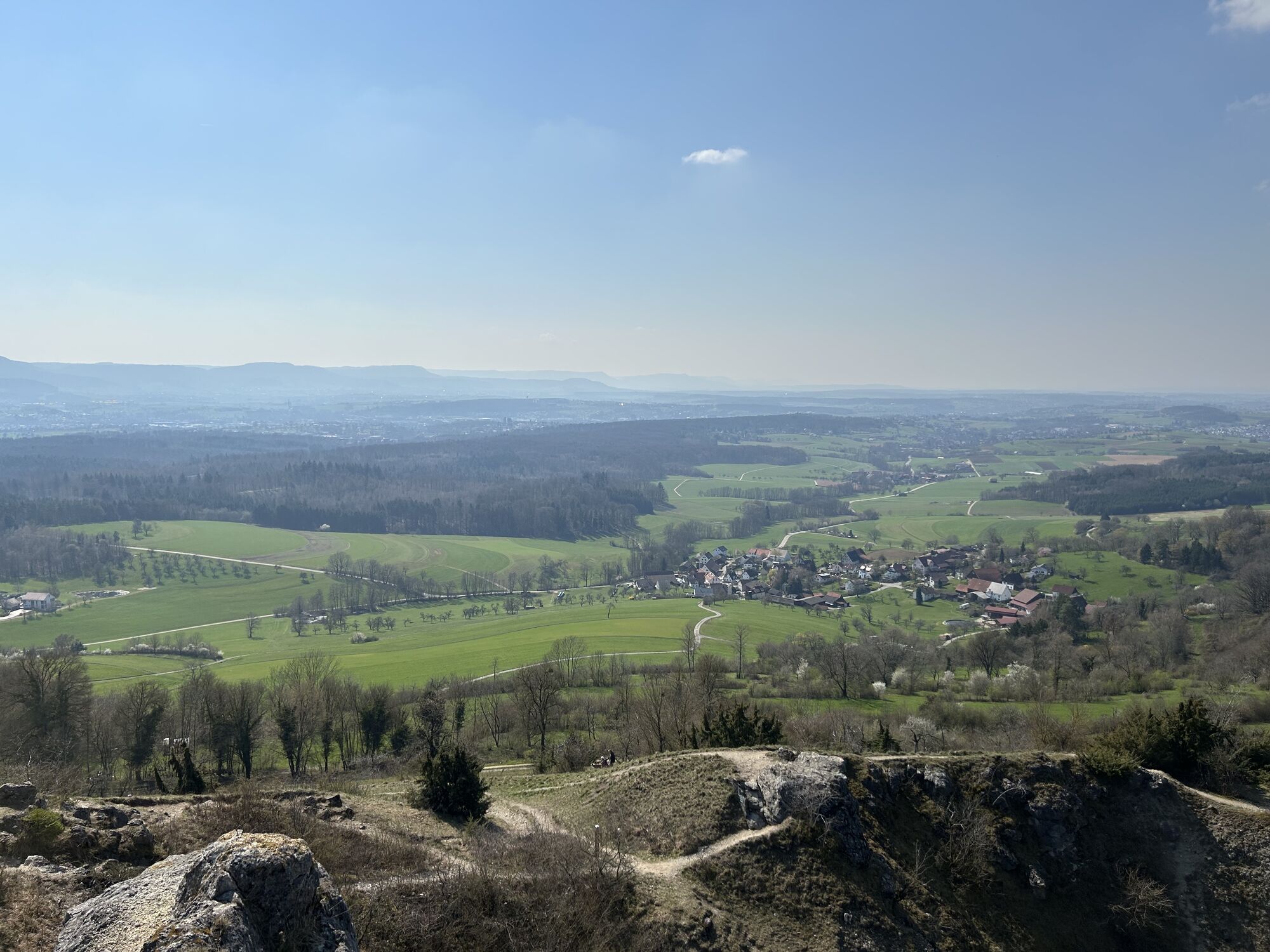
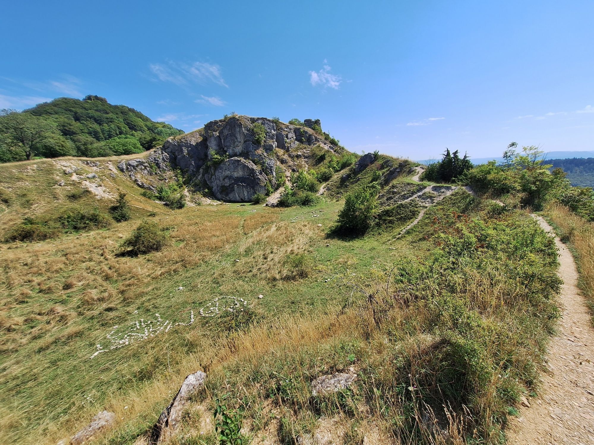
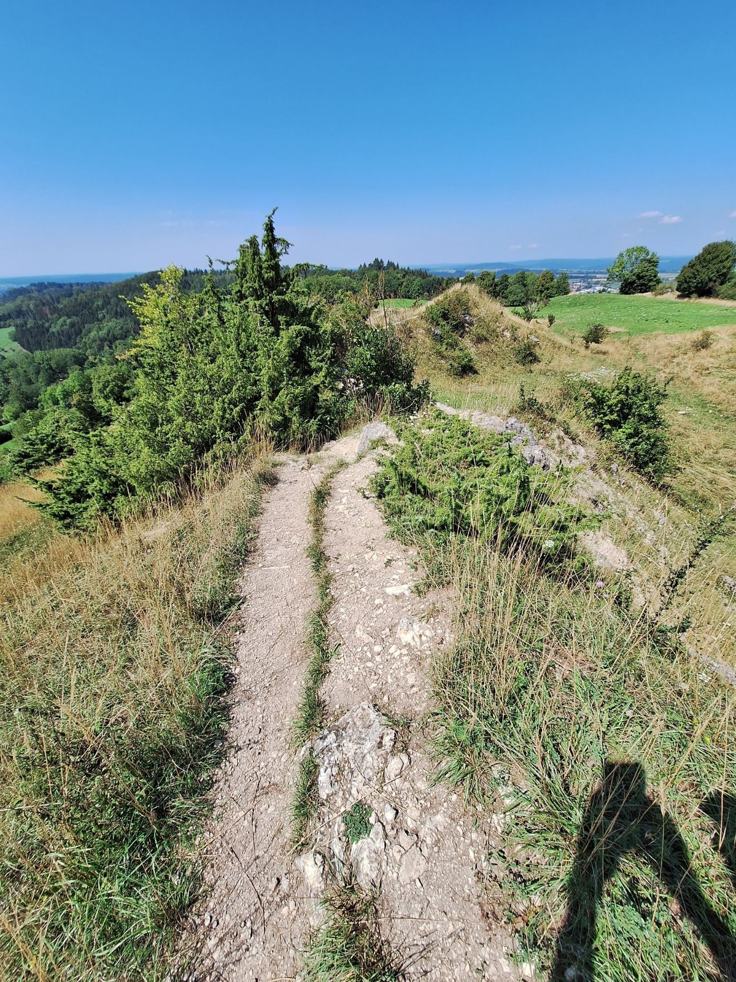

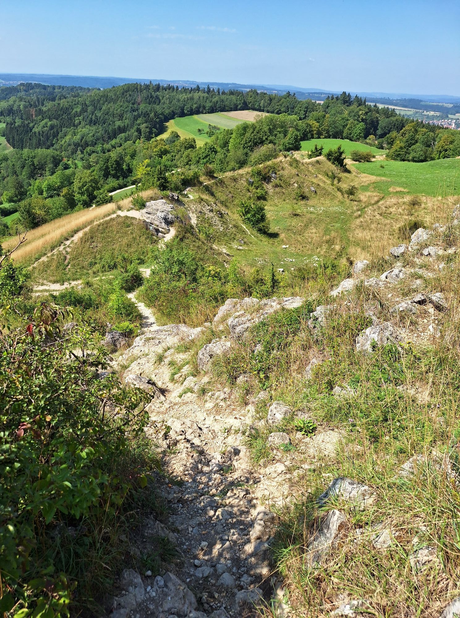
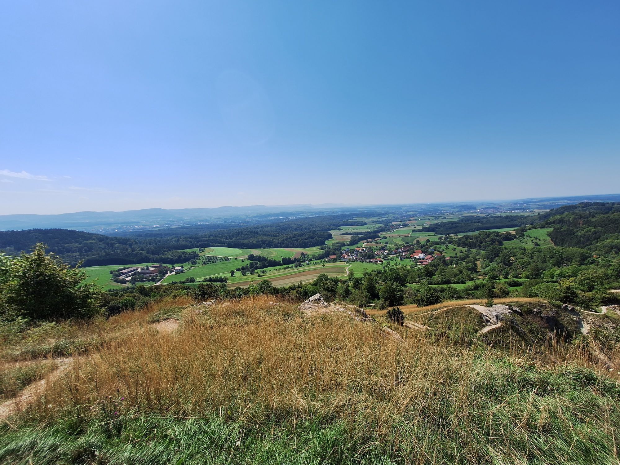
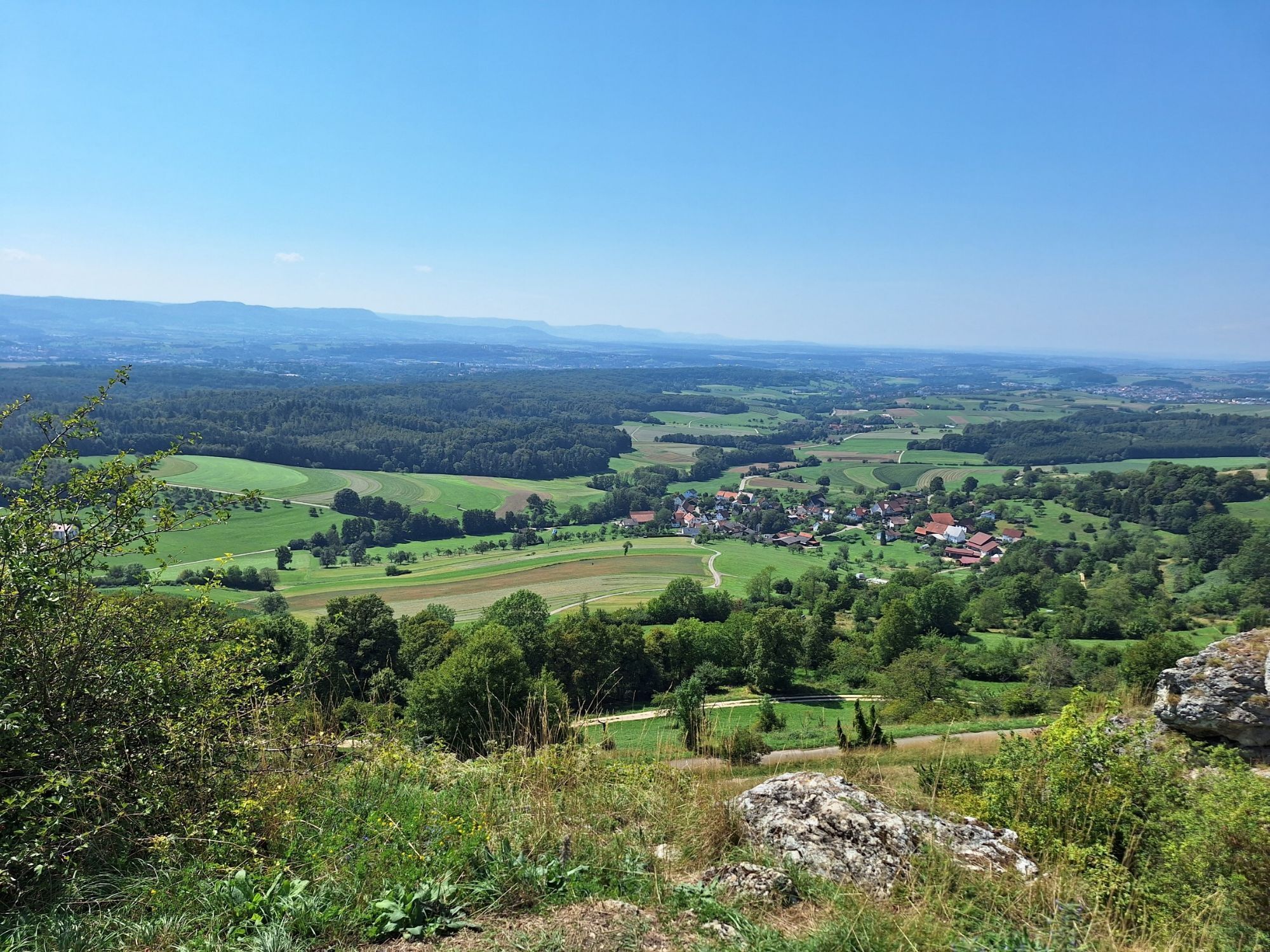
In Göppingen, nine varied circular hiking trails invite you to discover the region’s diverse landscapes. Seven circular hiking trails and two “Löwenpfade” (Lion Trails), ranging in length from 3.5 to 23...
The Hohenstaufen Castle Loop Trail runs through Hohenstaufen, Maitis, Wäschenbeuren, and Hohrein. The approximately 13-kilometer-long tour starts at the parking lot of the Hohenstaufen Youth Hostel and climbs about 421 meters in elevation. Along the way, scenic forest and meadow trails alternate with impressive views of the unspoiled side of the Hohenstaufen. Historical sights and varied landscapes make the hike a special experience for nature and culture enthusiasts. Thanks to its varied route, the hike is suitable for hikers of all ages and offers charming sights in every season.
ipunkt at City Hall
Hauptstraße 1 | 73033 Göppingen
07161 650-4444 | ipunkt@goeppingen.de | www.goeppingen.de


The trail
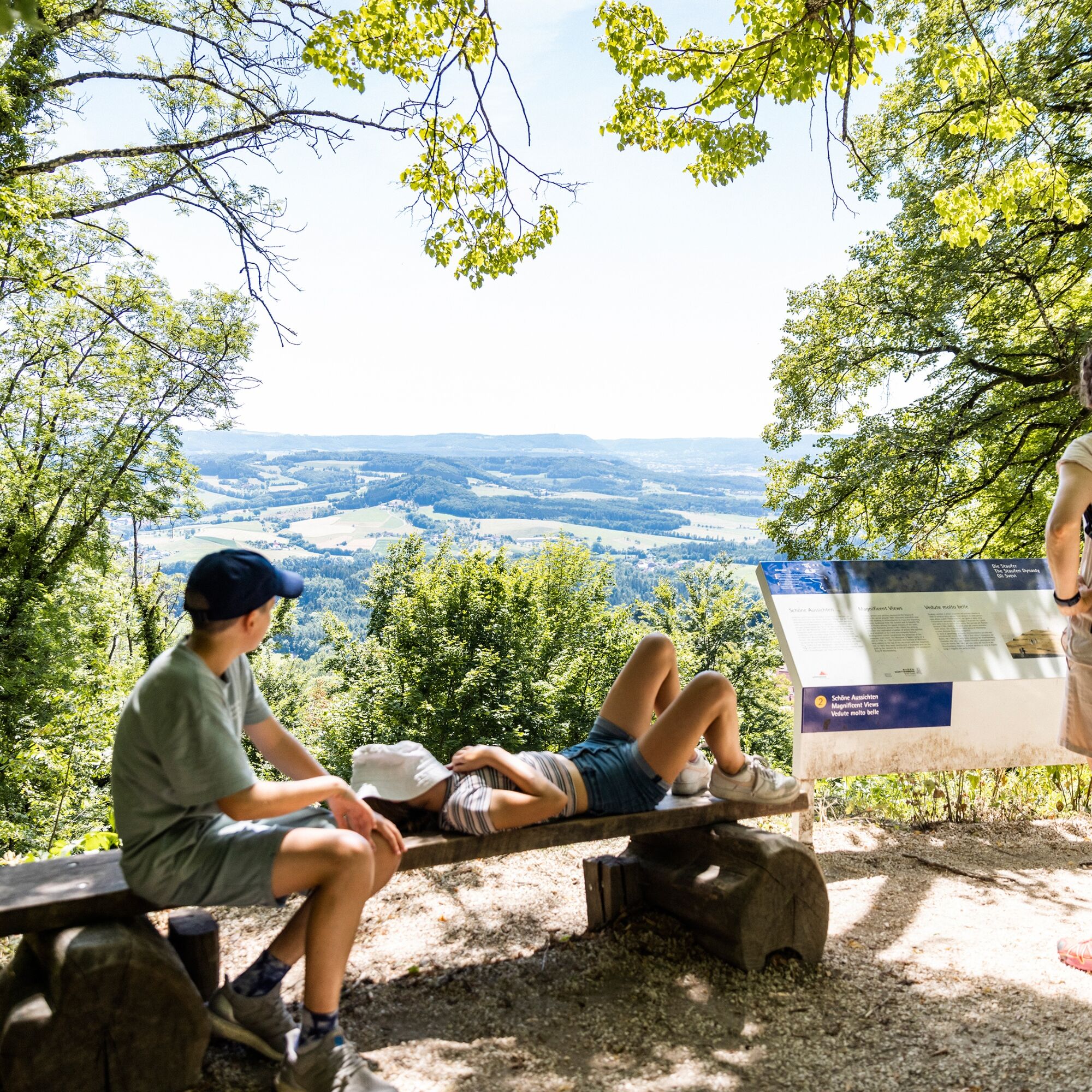
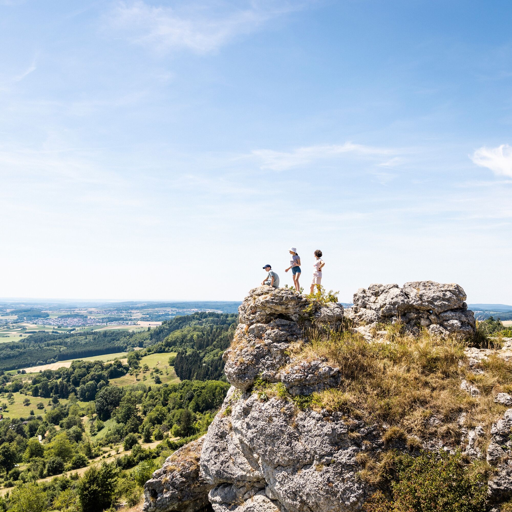
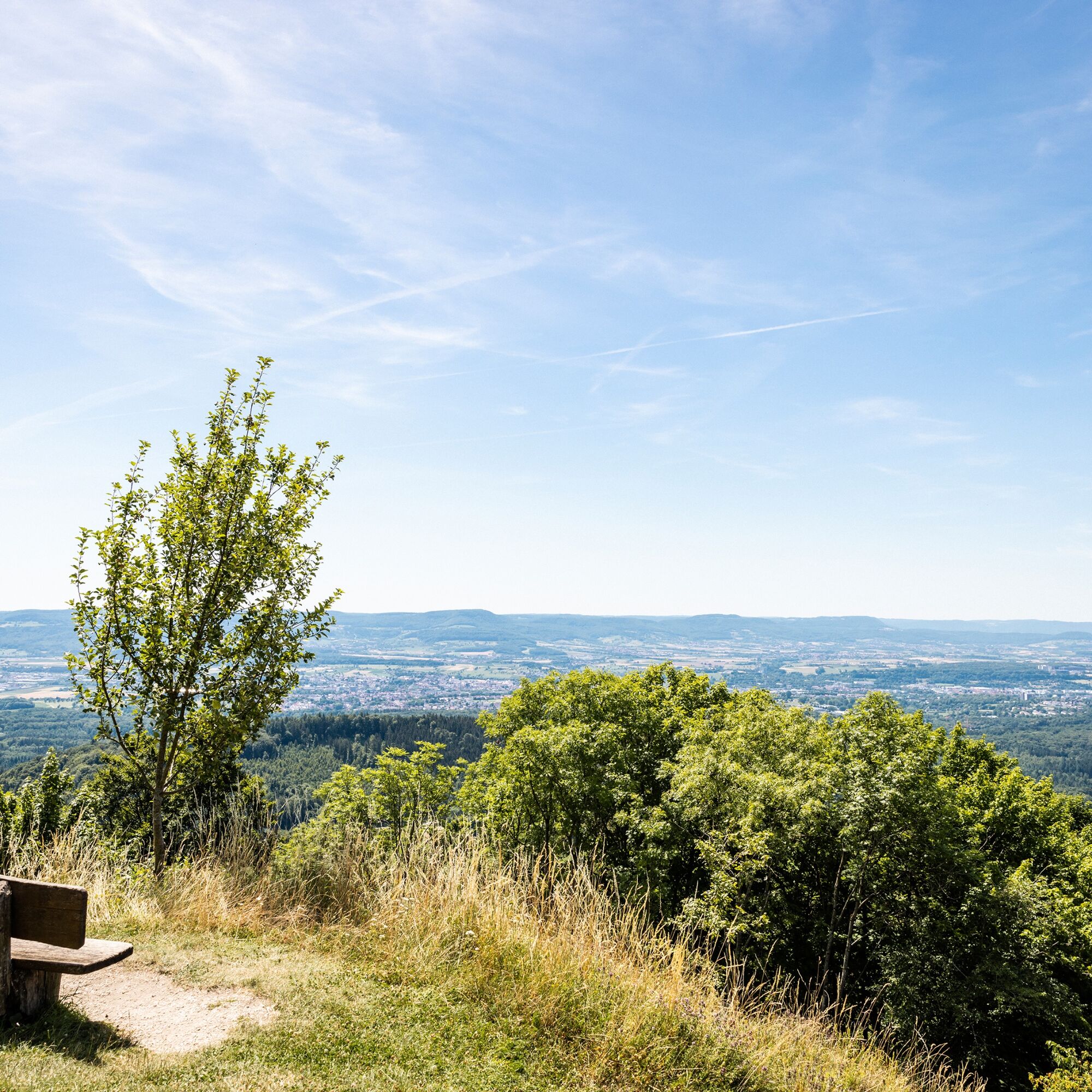
continues along the Sonderbach stream, past a playground with a barbecue area, where you can take a short break to recharge before heading back uphill.We then continue through the forest toward Hohrein, enjoying beautiful views of the unspoiled side of the Hohenstaufen along the way. Leaving Hohrein behind, we walk uphill through the area known as Wiesenecker, past the former Hohenstaufen outdoor swimming pool and the “Schaafbrunnen,” back to Hohenstaufen. Once we arrive on Ailstraße in Hohenstaufen, we turn left at the first fork in the road toward Spielburg and follow the trail. The cliffs of the Spielburg Nature Reserve are undoubtedly one of the most beautiful vantage points overlooking the Swabian Alb.
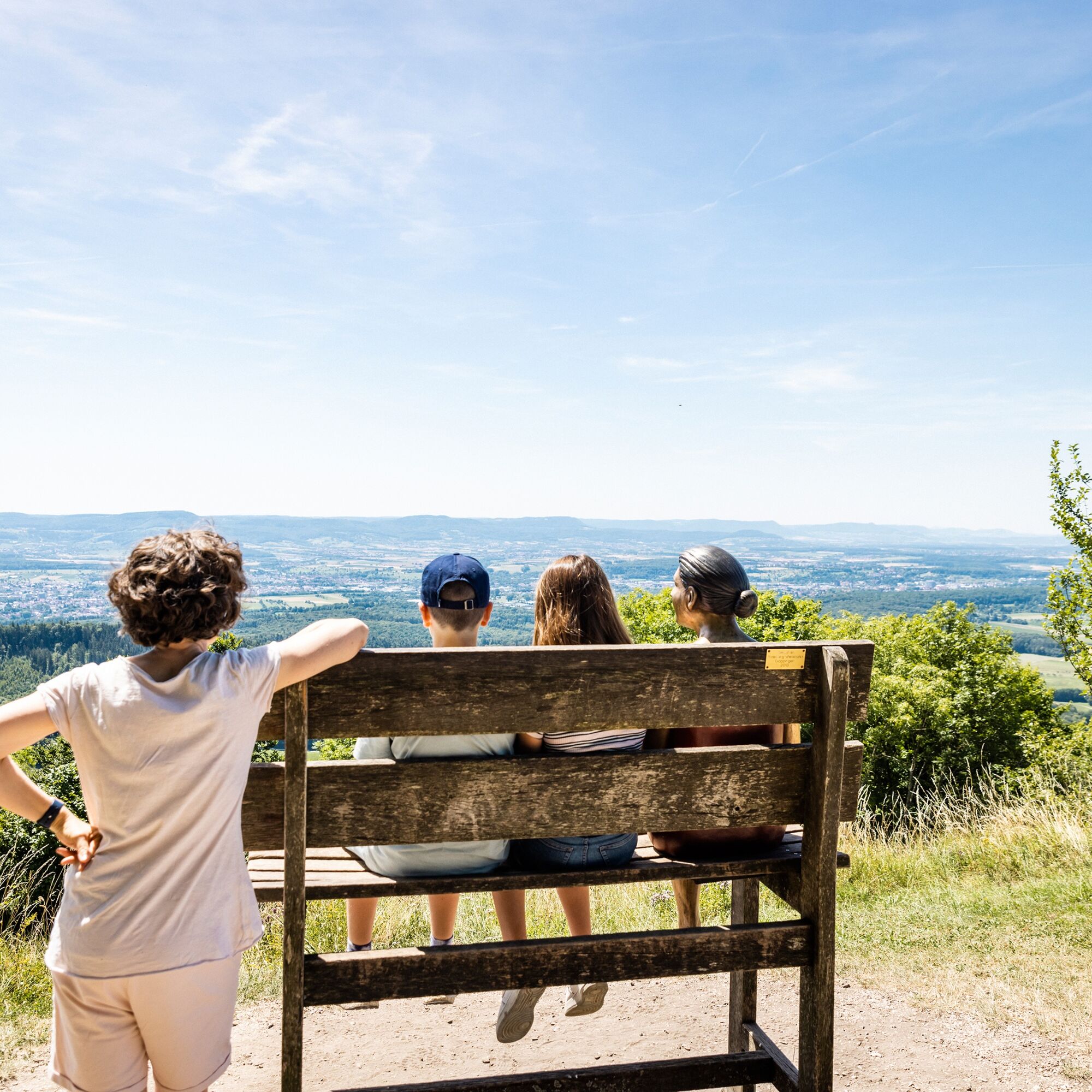
Via the Herbweg and turning right around the mountain, we reach the Barbarossa Church, which is worth a detour. Before we climb to the summit of Göppingen’s local mountain—where the ruins of the Staufer family’s ancestral castle stand—those interested can visit the Staufer exhibition at the foot of the mountain. Once at the summit, you can enjoy the view from the 684-meter-high mountain while savoring coffee and cake. You can borrow audio guides for free, sit down on one of the reclining benches or swinging benches, and immerse yourself in the myths, stories, and songs surrounding the mountain.
Finally, a winding path on the northeast side of the summit leads back down into the valley to the starting point.
Da
Da
Wear sturdy, non-slip shoes and weather-appropriate clothing. A backpack with water, snacks, and a first-aid kit is recommended.
When it's wet, some trails can be slippery and dangerous. Watch your step and use hiking poles for stability if necessary.
From the A8, take the Kirchheim unter Teck-Ost exit onto the B297. In Bartenbach, take Lerchenberger Straße and follow the L1075 to Hohenstaufen.
You can find the district schedule at: www.vvs.de/fahrplan
Parking is available near the starting point.
T1
Code of Conduct:
Respect trail closures and the quiet zones established in the recreational trail plan. Leave no trace—such as trash or animal waste—and treat the trail with care. Be proactive and considerate. Adapt your behavior to the situation at hand. Safety comes first. Respect other users of the woods and open fields. Be considerate of animals and plants. Plan ahead and make the most of daylight. Try to avoid the early morning and evening twilight hours. Observe the ban on entering agricultural land during the growing season. Stay on marked trails and avoid forest edges; this helps wildlife get used to people.For more information, visit ruecksicht-macht-wege-breiter.de
The Staufer Exhibition at Hohenstaufen is always worth a visit.
The small gallery on Kaiserbergsteige, featuring works by regional artist Harald Immig, is highly recommended.
Priljubljeni izleti v okolici
-
4.5
Lion Trail "Orchid Trail" - Herbs, pasqueflowers, and juniper heaths
srednjaPohodništvo 9.33 km -
4.9
Lion Trail "Staufer Loop" — Following in Barbarossa's Footsteps Against a Dreamlike Backdrop
srednjaPohodništvo 11.3 km -
5.0
Lion trail "Berta-Hörnle-Tour" - castle stories in a dreamlike setting
težkoPohodništvo 14.7 km -
5.0
Lion Trail "Heroes' Tour" — The Crowning Stage of the Lion Trails
težkoPohodništvo 23.6 km -
4.5
Lion Trail "Far-Sighted Tour" — High Up and Looking Far Ahead
težkoPohodništvo 12.0 km -
3.7
Löwenpfad "Wasserberg-Runde" - pure panorama and typical Swabian Jura landscapes
težkoPohodništvo 12.0 km -
3.7
Three Emperors' Mountains Loop Hike
težkoPohodništvo 25.8 km -
3.5
Löwenpfad "Messelberg Tour" - Hiking with Stunning Views
srednjaPohodništvo 7.72 km -
5.0
Lauterstein Sightseeing Tour
težkoPohodništvo 14.0 km -
4.5
Löwenpfad "Schloss-Filseck Loop" — Castle Tales and Lake Dreams
svetlobaPohodništvo 3.97 km
Pohodništvo in sledenje


Ne zamudite ponudb in navdiha za naslednje počitnice
Vaš e-poštni naslov je bil dodan na poštni seznam.


