


Heubachweg round
Stopnja težavnosti: T1
Heiningen was first mentioned in documents in 1228 as "Huningen" and is considered an early founded Alemannic core settlement in the middle foreland area. Today, Heiningen presents itself as a steadily...
Heiningen was first mentioned in documents in 1228 as "Huningen" and is considered an early founded Alemannic core settlement in the middle foreland area. Today, Heiningen presents itself as a steadily growing and thriving community with about 5,200 inhabitants.
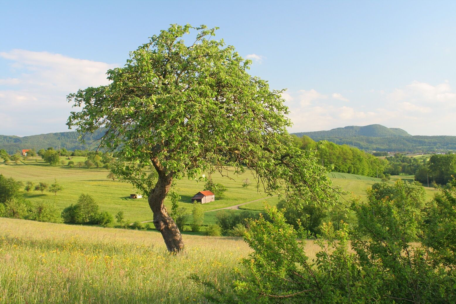
Its location amidst the charming landscape of the foreland area, with fresh air and good traffic connections to the highway, on the southern edge of the large district town of Göppingen and directly before the "Albtrauf," the steep rise to the heights of the Swabian Alb, bordered by orchards and fields, combined with very good infrastructure, makes Heiningen so attractive. Against the backdrop of the Albtrauf, Heiningen offers numerous leisure and sports opportunities, an active club life, social facilities, and culture.
Guests and visitors can use the motorhome parking space at the Voralbhalle with a bistro, mini golf, and pit-pat course as the ideal starting point for hikes, bike tours, or a visit to the adjacent indoor swimming pool with a family atmosphere, sauna, and sunbathing area.
Municipality of Heiningen
Hauptstraße 30 | 73092 Heiningen
07161 4034-0 | gemeinde@heiningen-online.de | www.heiningen-online.de

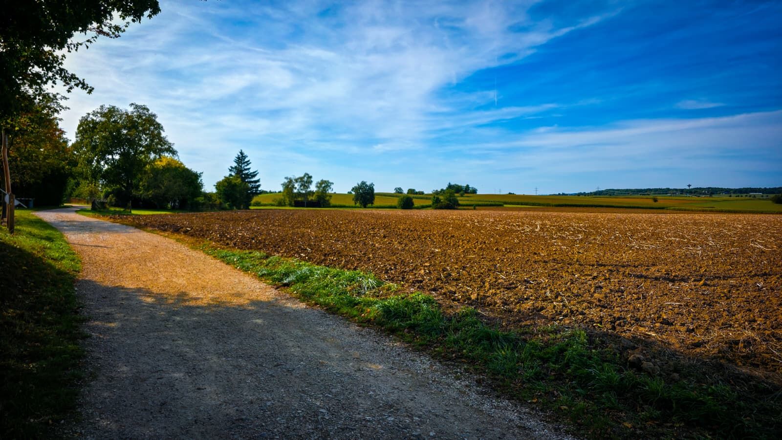
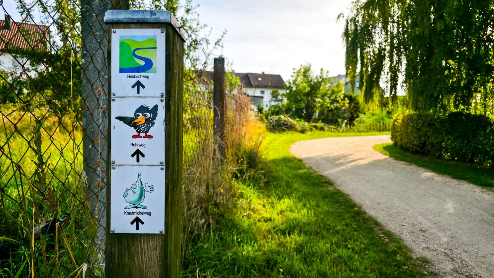
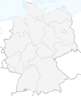
The Heubachweg begins at the hiking parking lot at K 1425.
The route starts in the village and then follows the Katzenbach creek back into the open landscape. From there, the path gently climbs to the Hungertobel, where you can enjoy a magnificent view of the Albtrauf, including the Wasserberg, the Fuchseck, and the Rottelstein.
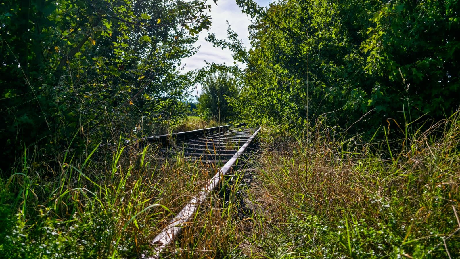
The lowest point of the round is at the Heubach. It then continues via the Iltishofweg, past the Iltishof, to Eschenbach. Along the former railway line, the path leads together with the Rohrweg back to the starting point.
Da
This list is designed for a short circular hike. For longer or more demanding routes, you should expand your equipment accordingly.
Some paths can be slippery and dangerous when wet. Watch your step and use hiking poles for stability if necessary.
The district timetable can be found at: www.vvs.de/fahrplan
Parking lot directly at the starting point.
T1
Respectful coexistence in the district of Göppingen.
Code of conduct:
Respect trail closures and the rest zones developed in the leisure trail concept. Leave no traces such as litter or animal droppings, treat your path carefully. Act prudently and considerately. Adjust your behavior to the respective situation. Safety comes first. Respect other users of forest and fields. Be considerate of animals and plants. Plan ahead and use daylight. Avoid dawn and dusk whenever possible. Observe the ban on entering agriculturally used areas during the growing season. Stay on designated paths and avoid forest edges so wild animals can better get used to humans.More information at ruecksicht-macht-wege-breiter.de
Priljubljeni izleti v okolici
-
4.5
Löwenpfad "Orchideenpfad" - Herbs, Pasqueflower and Juniper Heathlands
srednjaPohodništvo 9.33 km -
4.8
Löwenpfad "Filsursprung-Runde" - pure nature around the Reußenstein
srednjaPohodništvo 14.1 km -
4.9
Löwenpfad "Staufer-Runde" - Barbarossa's traces before a dreamlike backdrop
srednjaPohodništvo 11.3 km -
5.0
Lion trail "Berta-Hörnle-Tour" - castle stories in a dreamlike setting
težkoPohodništvo 14.7 km -
4.5
Löwenpfad "Weitblick-Tour" - High up and far-reaching view
težkoPohodništvo 12.0 km -
4.7
Löwenpfad "Filstalgucker" - views from the heart of the Filstal valley
srednjaPohodništvo 13.0 km -
5.0
Boßler circuit
srednjaPohodništvo 8.59 km -
3.7
Löwenpfad "Wasserberg-Runde" - pure panorama and typical Swabian Jura landscapes
težkoPohodništvo 12.0 km -
3.5
Lion trail "Messelberg tour" - hiking with impressive views
srednjaPohodništvo 7.72 km -
3.8
Lion trail "Ave-Weg" - A touch of pilgrimage on the Albtrauf
srednjaPohodništvo 8.65 km

Pohodništvo in sledenje


Ne zamudite ponudb in navdiha za naslednje počitnice
Vaš e-poštni naslov je bil dodan na poštni seznam.