







Sulz Boundary Stone Route
On the occasion of its 50th anniversary in 2022, the Schwarzwaldverein Sulz am Eck invites you to a newly created circular route. This approximately 18 km long circular route runs through the Sulzer Valley....
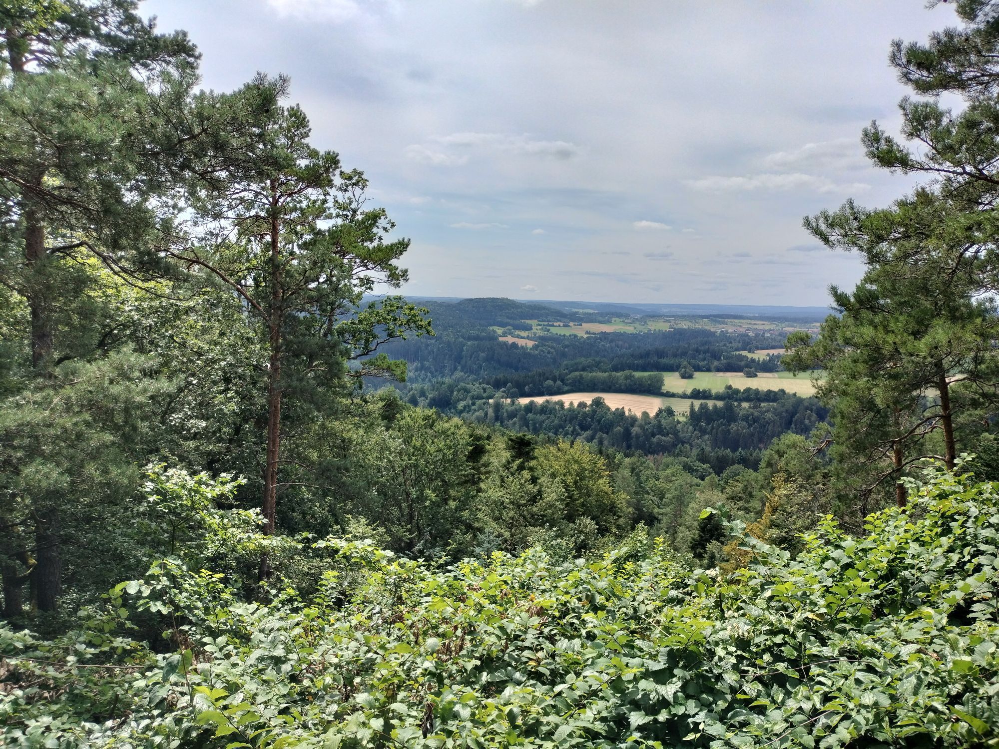
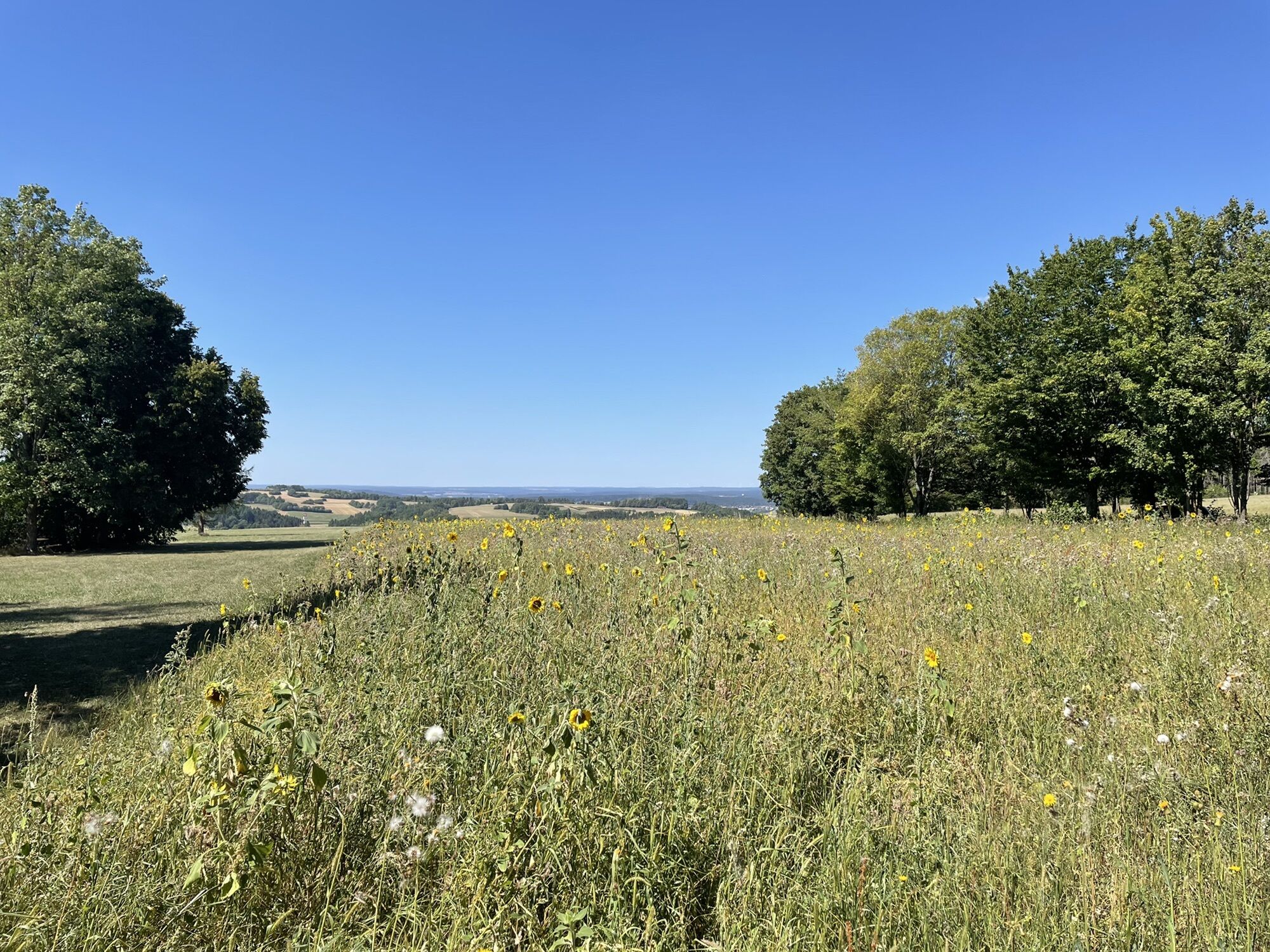
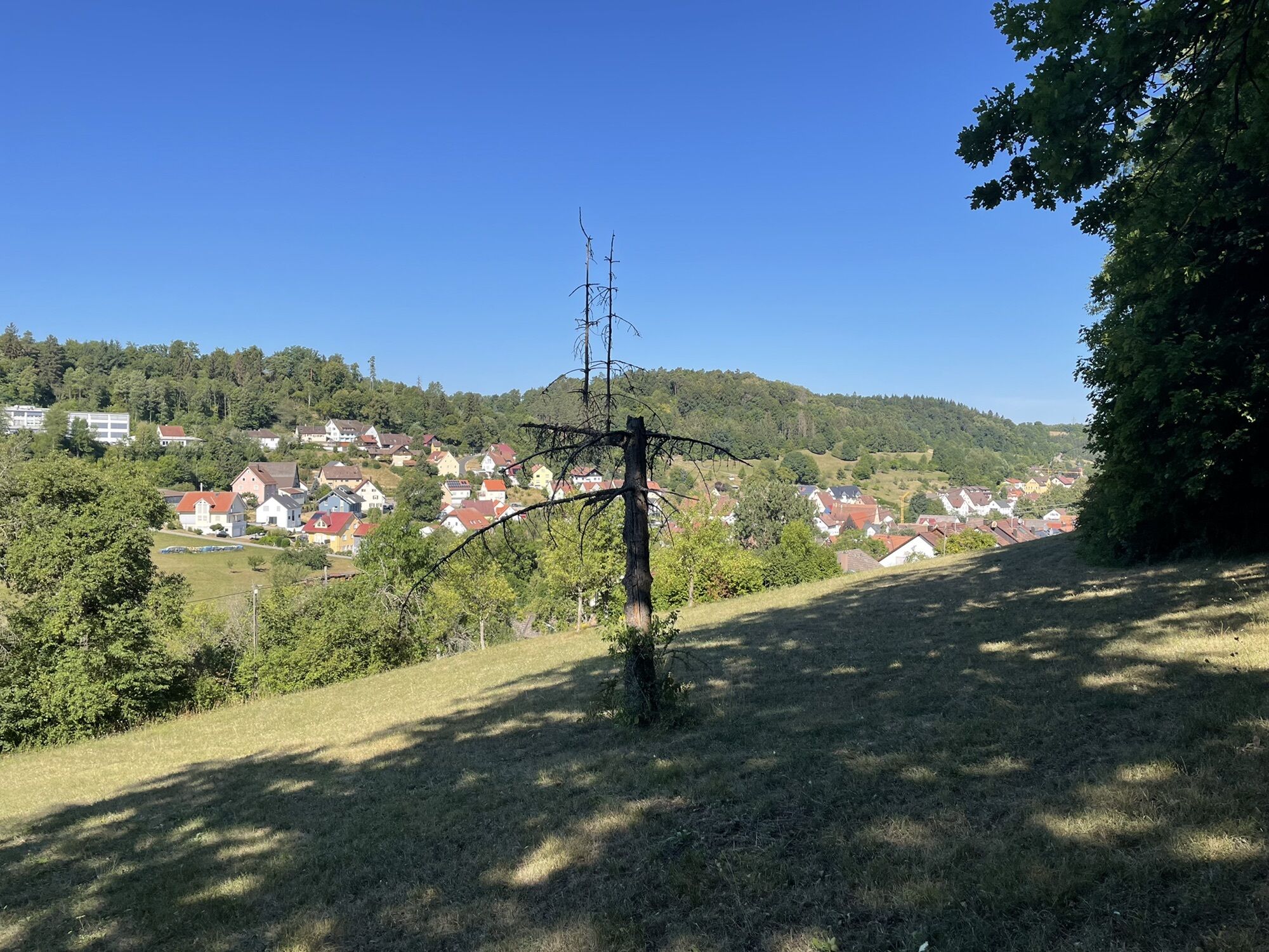
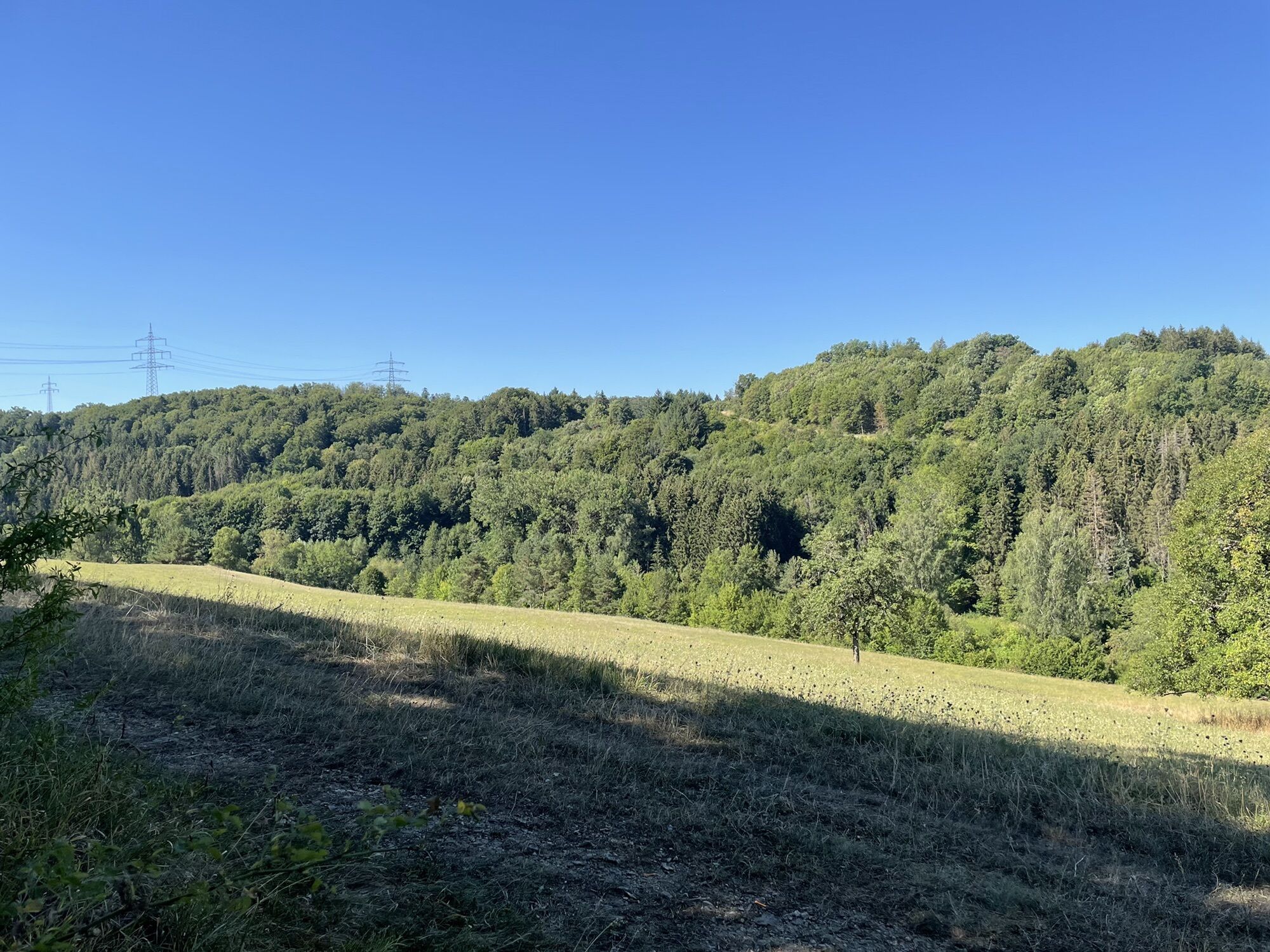
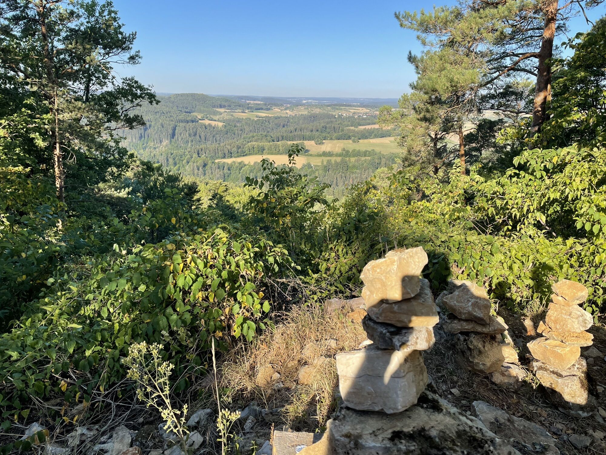
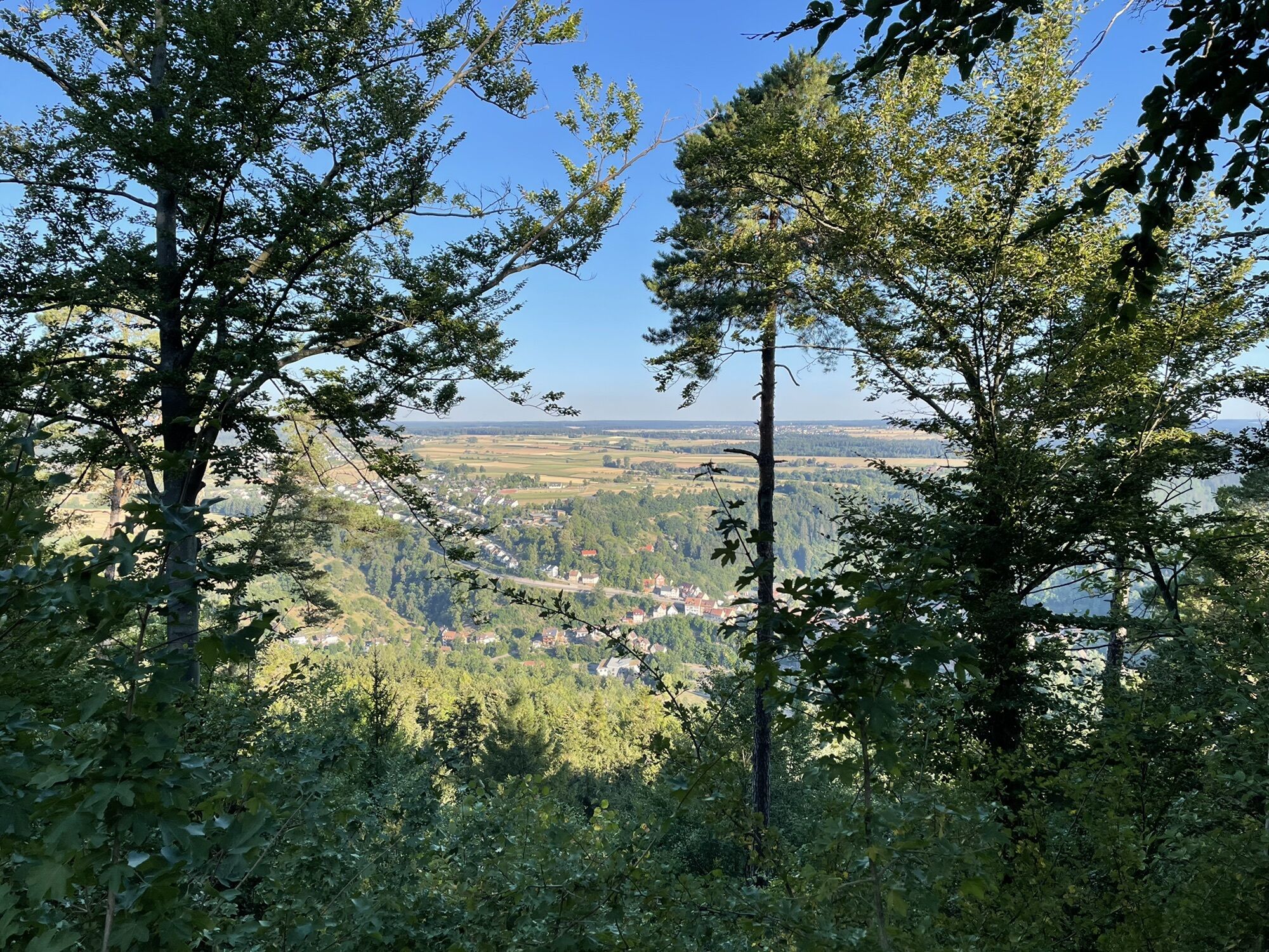
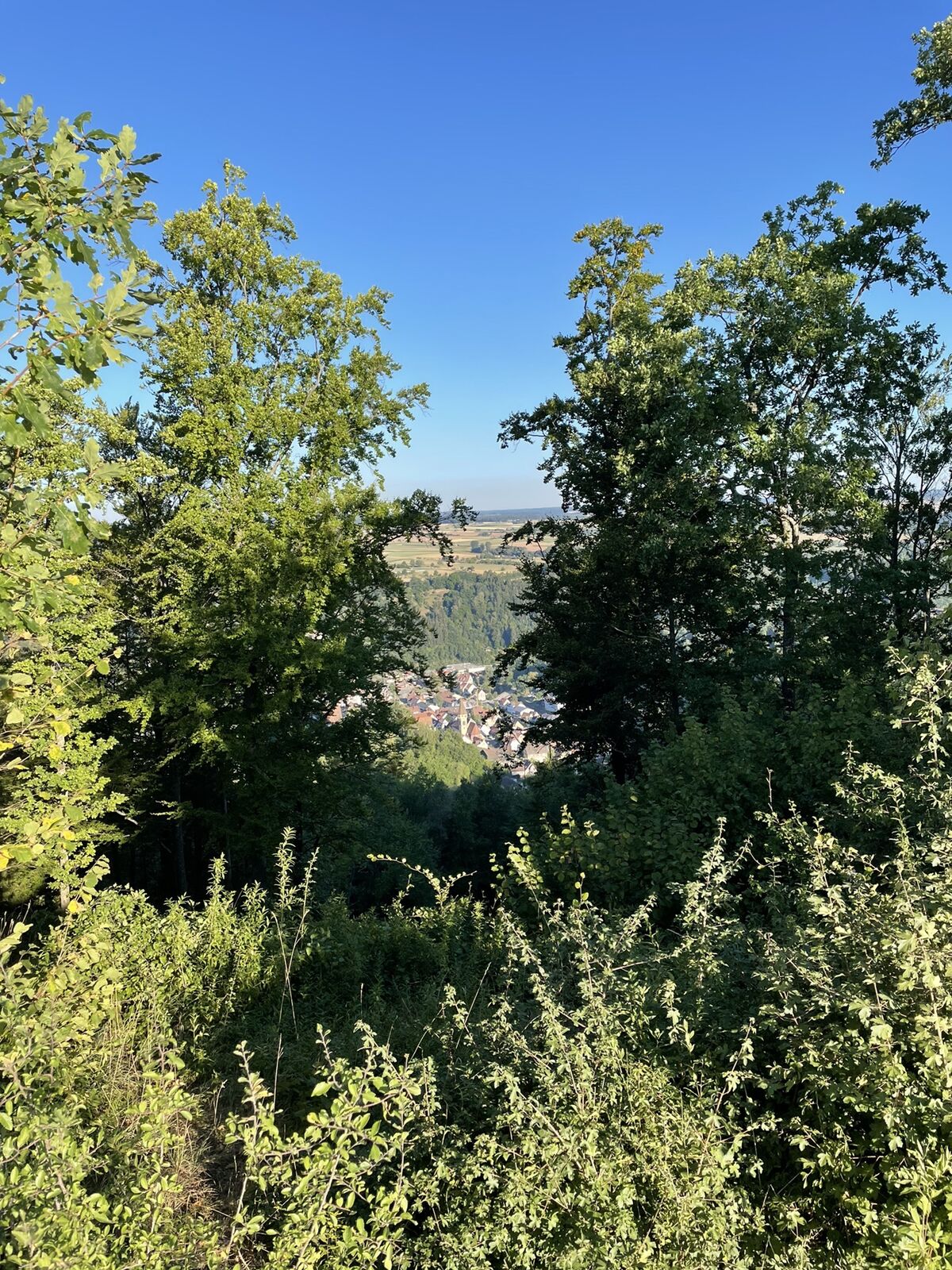
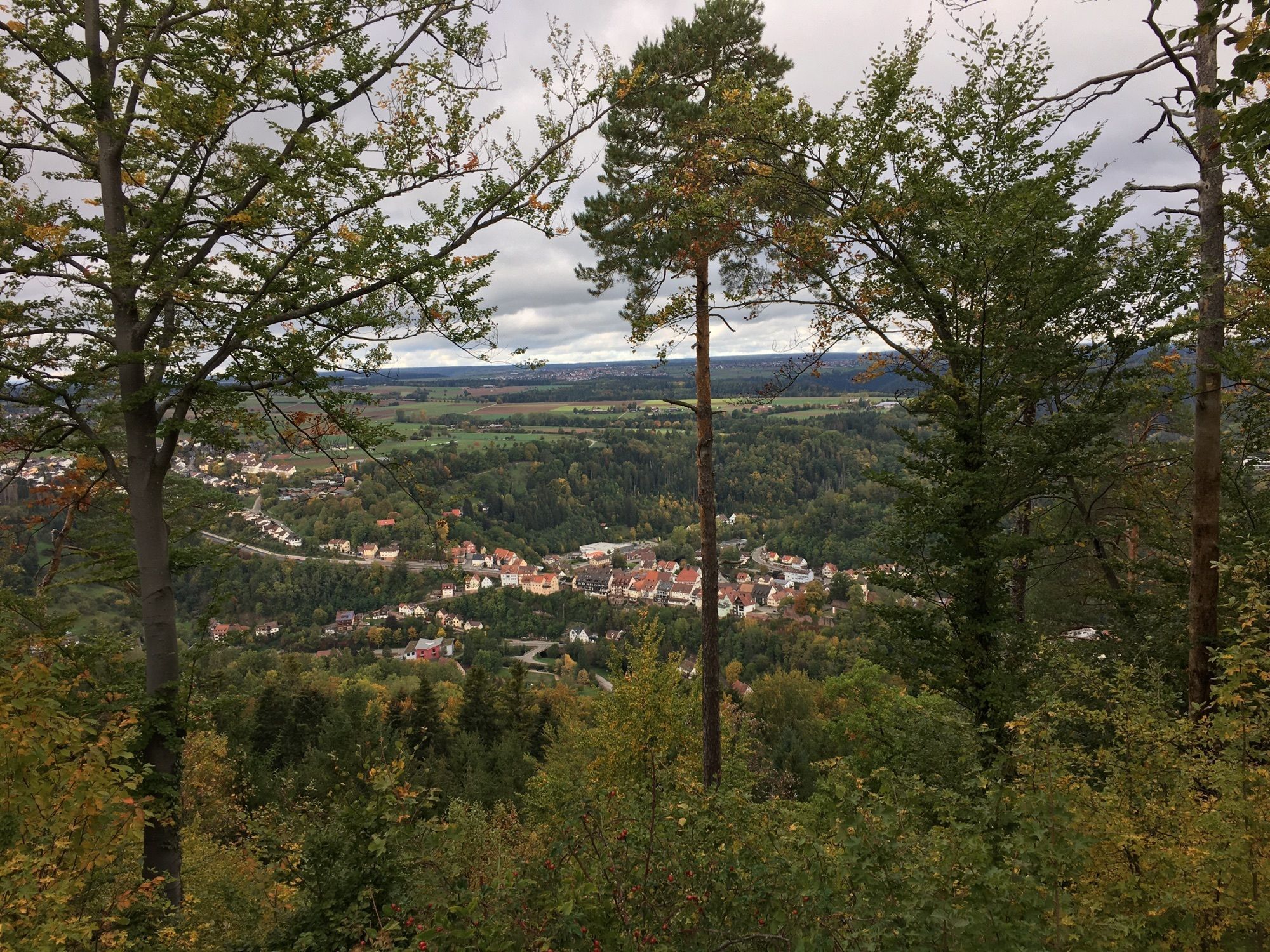
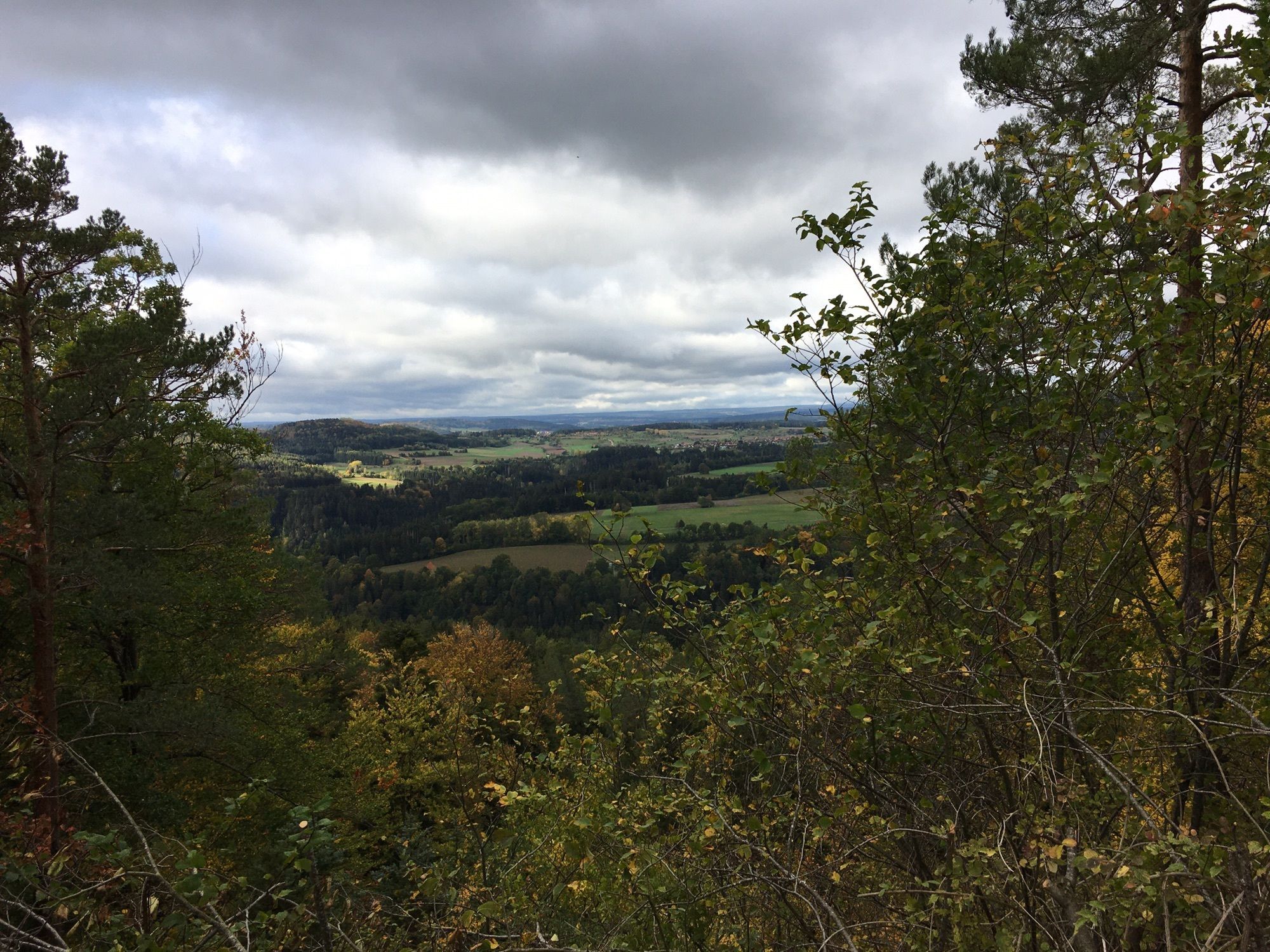
On the occasion of its 50th anniversary in 2022, the Schwarzwaldverein Sulz am Eck invites you to a newly created circular route. This approximately 18 km long circular route runs through the Sulzer Valley. The hiker moves downhill and uphill and finds relics from times gone by. Mostly on paved paths, the route offers thrilling views of the Black Forest hills or a view through the Sulzer Valley with the Agenbach, whose spring source you pass. Sky swings along the way invite you to linger and look far into the distance. The route is signposted and walkable in both directions; it is recommended to do the circle counterclockwise starting at the Häseleck parking lot. The hiking board and the specially developed trail sign show the way.

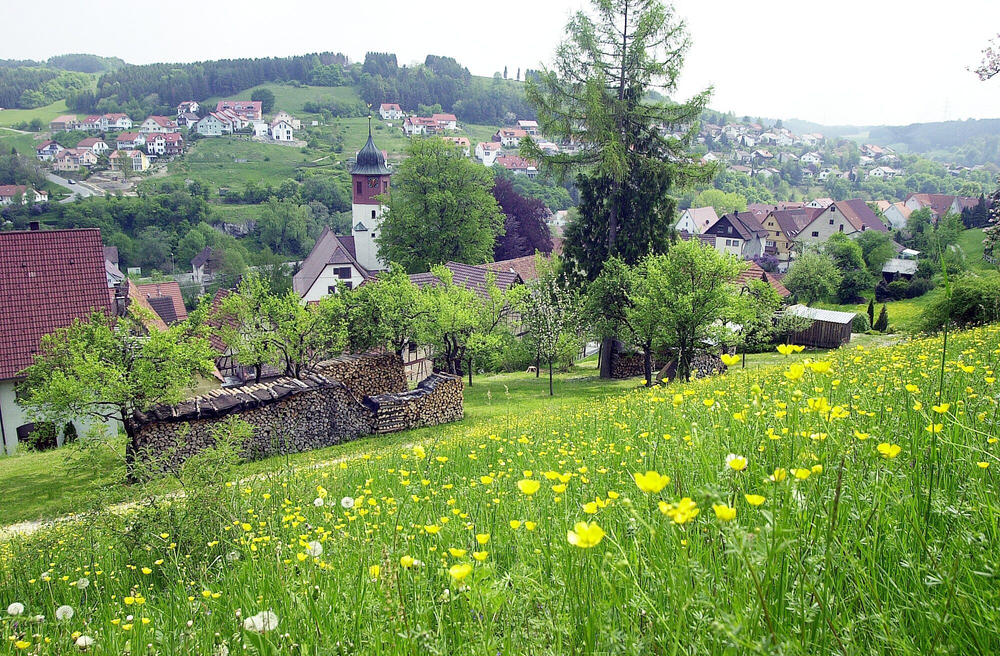

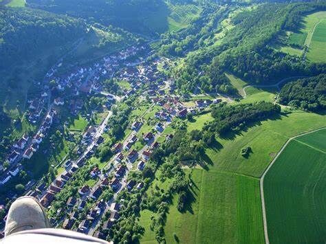
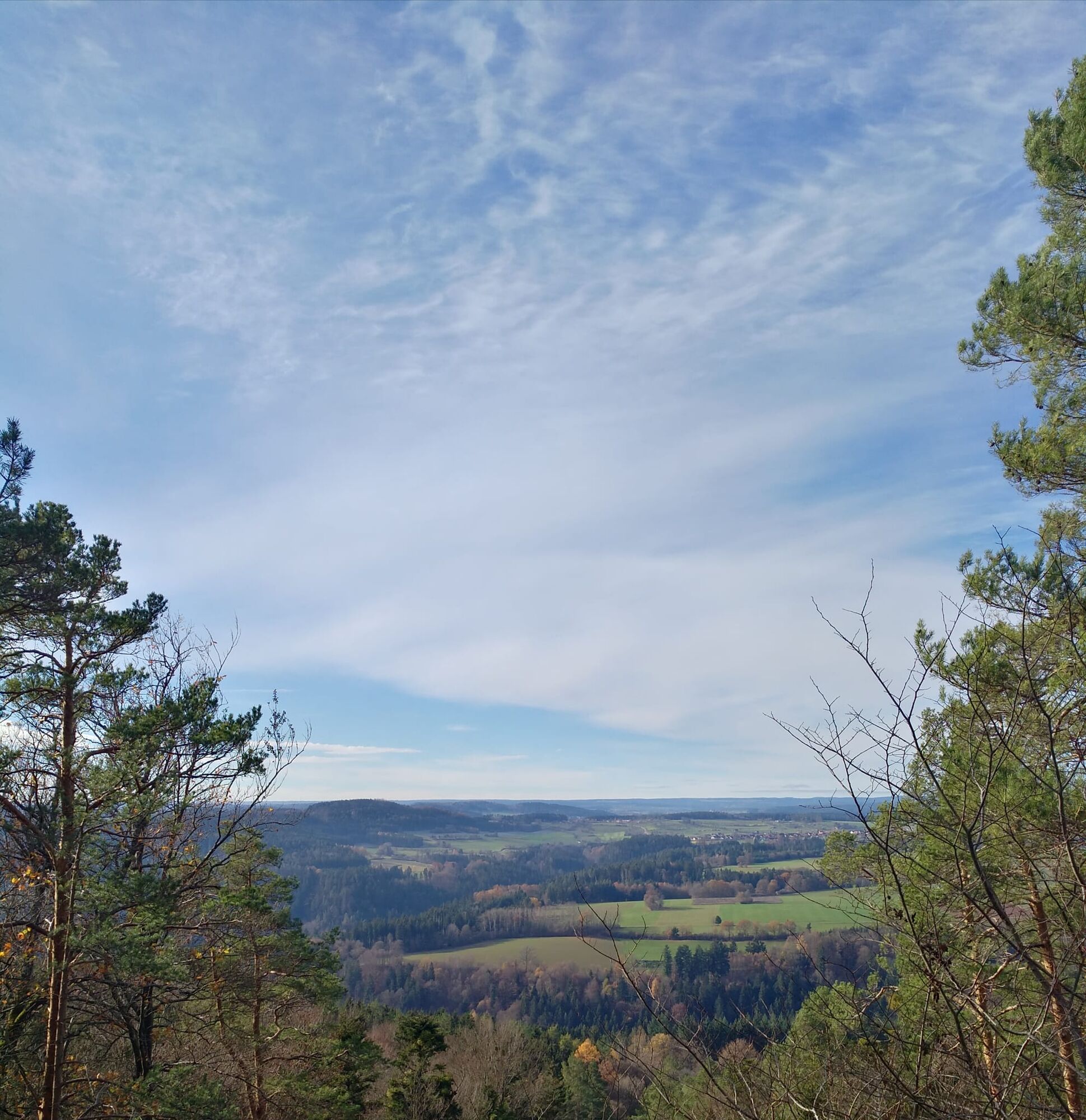
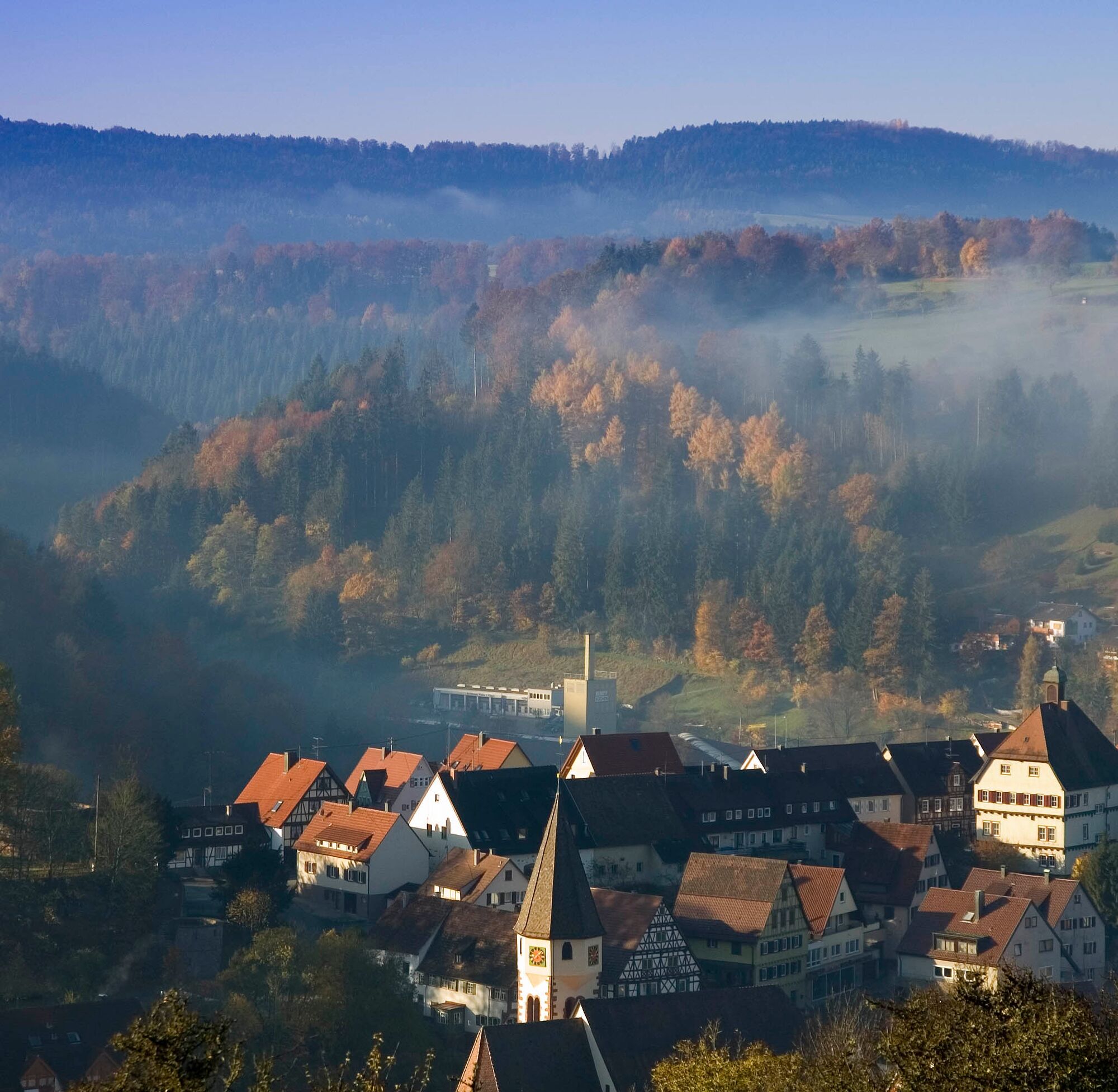
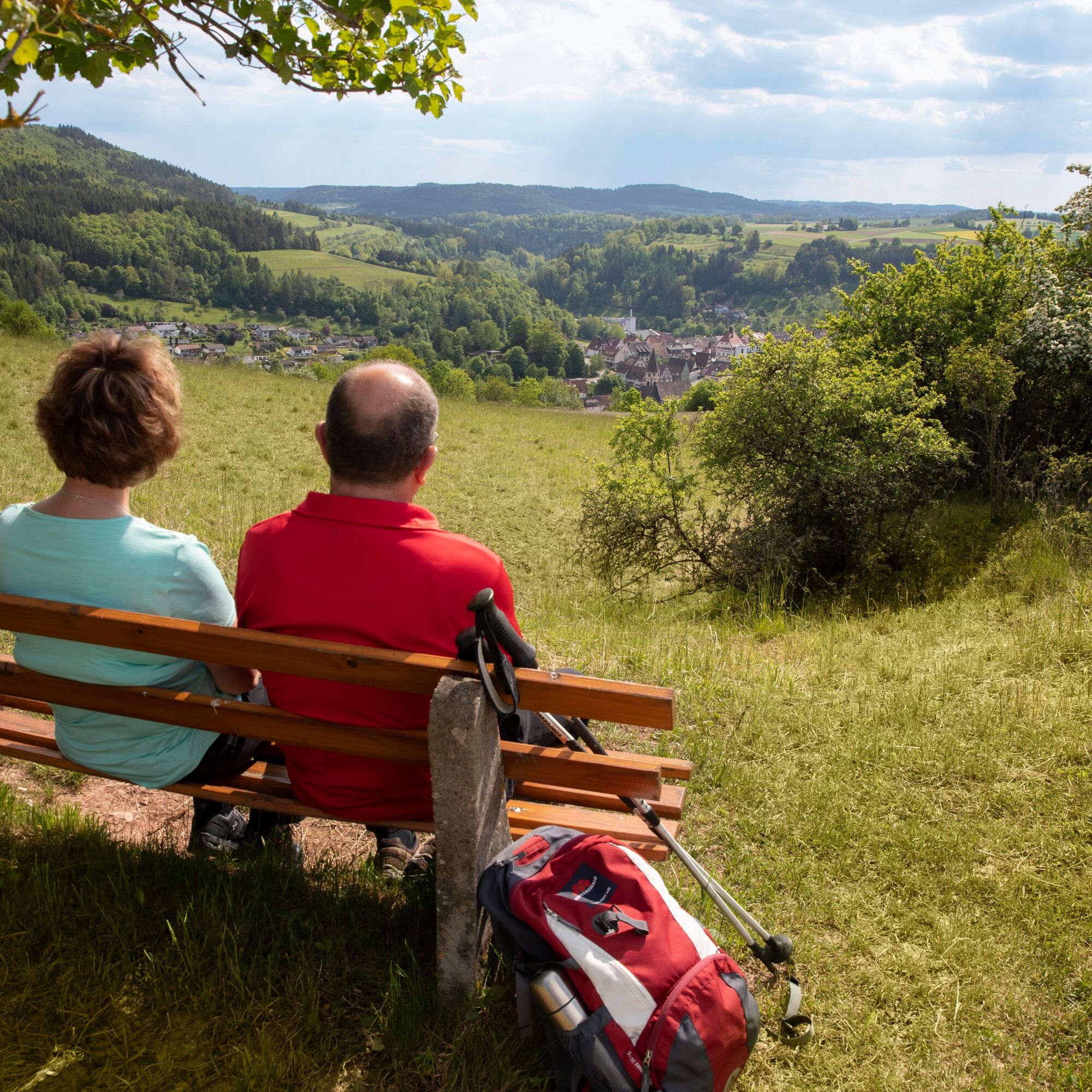

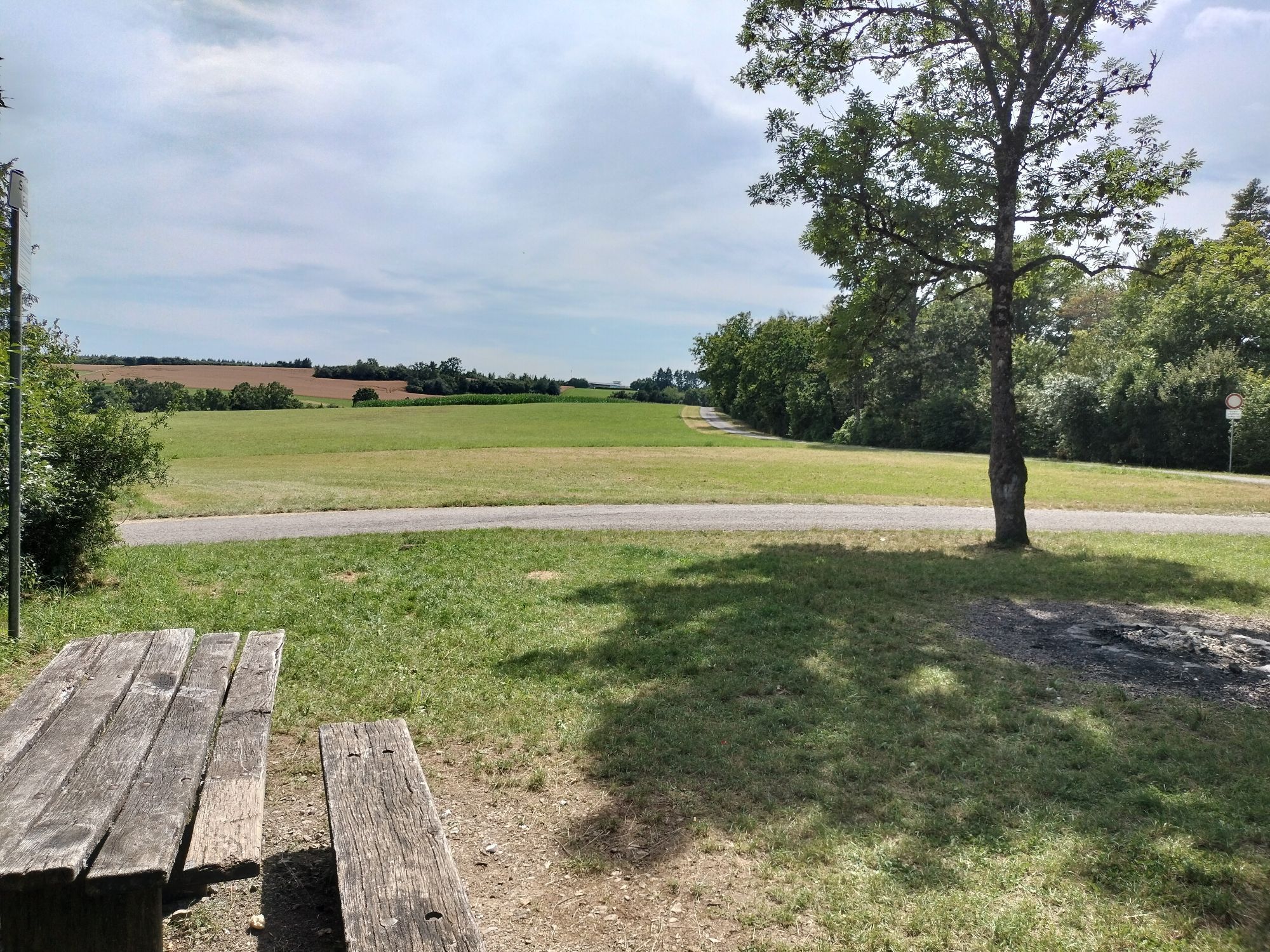
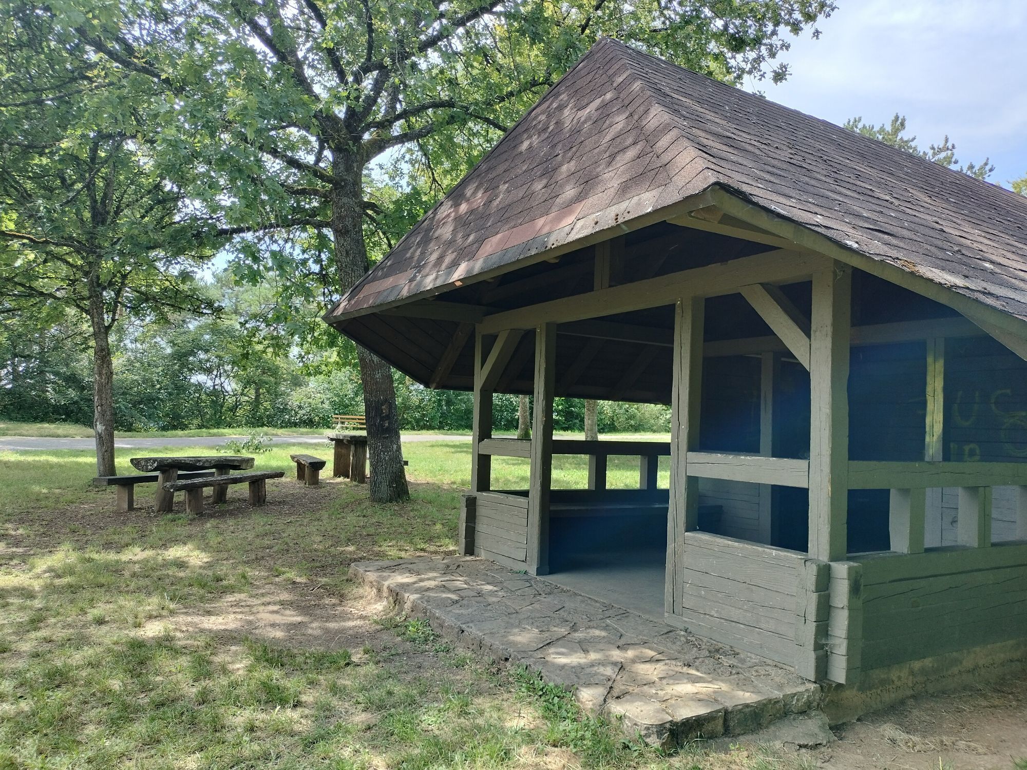
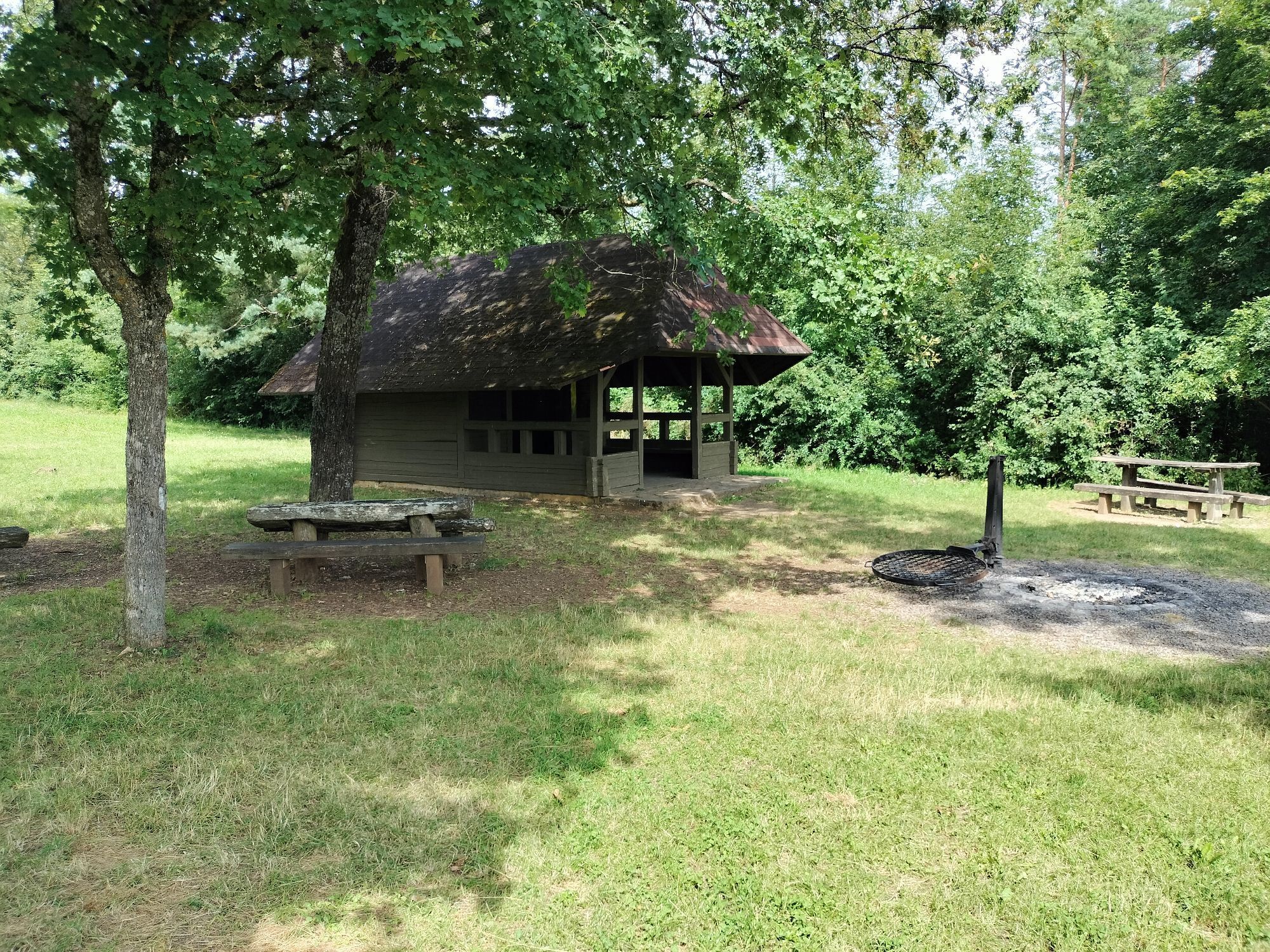
It goes downhill into the Sulzer Valley, next to the Sulz cemetery is our Boundary Stone Garden. Here boundary stones of the Sulz district boundary are set up. A mine stone can also be seen. It continues downhill, past the former washhouse. Here the path rises again. We pass the Sulz Church and continue following the path uphill to the Sulzer Eck with the shelter hut with barbecue area.
There is a parking lot here, and it is also possible to start the route here. On the Gäurandweg we continue hiking and enjoy the view down into the Nagold valley. On the way a bench invites you to rest and enjoy the view. Past the former ammunition depot, we find a special boundary stone. A triangle stone marks the district boundary of Sulz/Wildberg/Jettingen. Find the letters on each side and assign the direction to the correct locality.
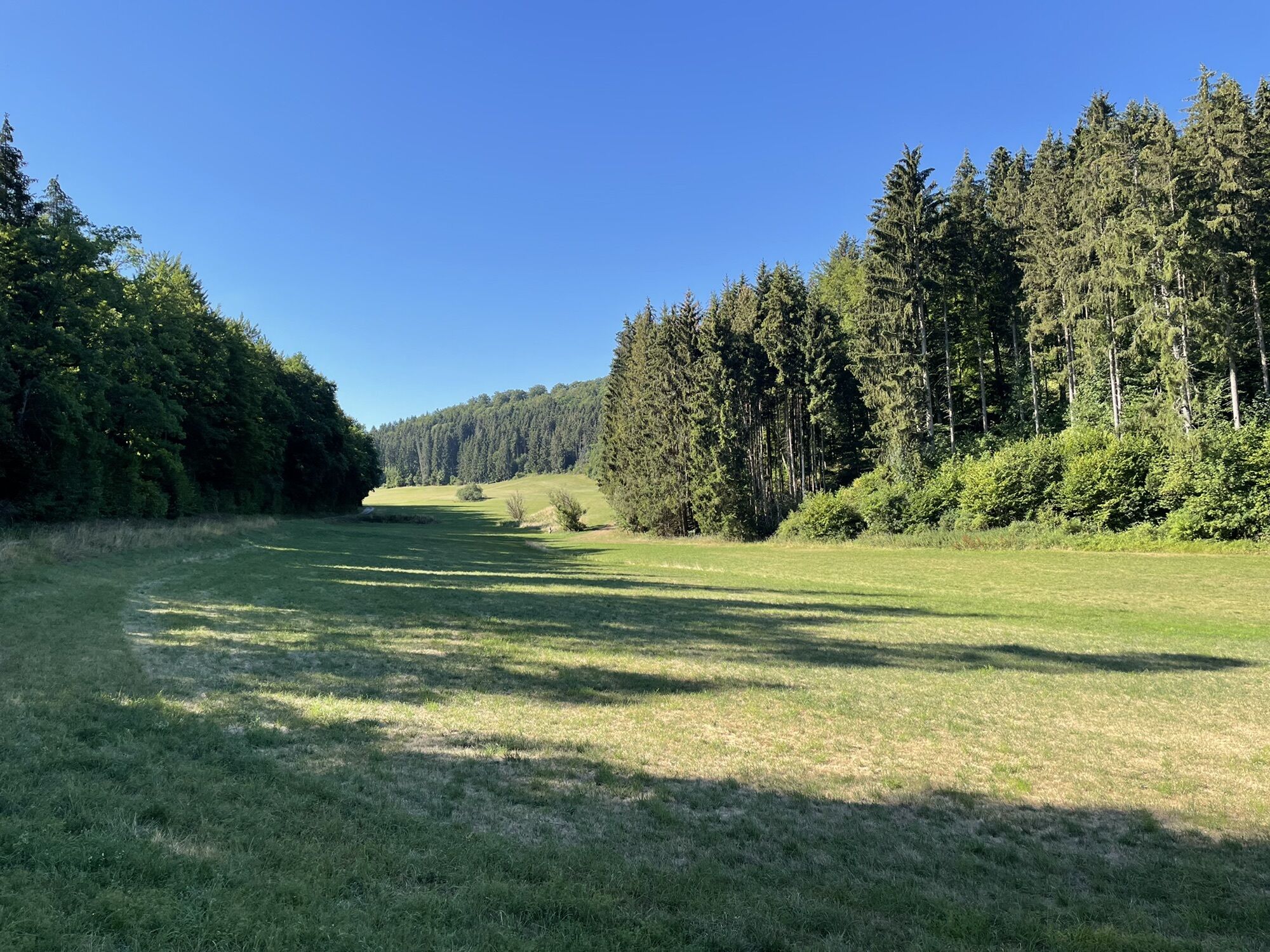
After a short stretch through the forest, we reach the highest point of our hike and continue walking directly along the forest edge of the Seewald. A bench invites you to linger. Refreshed, the path leads us straight on along the boundary to Oberjettingen over the district road towards the forest. After entering the forest, it is not far to the former Steinberg Castle. Knight Hugo von Hochdorf controlled the path to Sulz here in the 13th century. An information board shows the location of the castle. After reaching the valley floor, the path leads us back towards Sulz am Eck. In the valley meadows, the spring source of the Sulzer Agenbach is visible. After a short distance, the “Hunter's Stone” stands on the left side of the path.
Further through the Sulzer Valley, the path rises again and runs along the forest edge. Here there is the possibility to rest on the bench or the sky swing and let your gaze wander through the valley towards Sulz. Now it goes further uphill to the border to Kuppingen, where several boundary stones are also located. Can you find them at the side of the path?
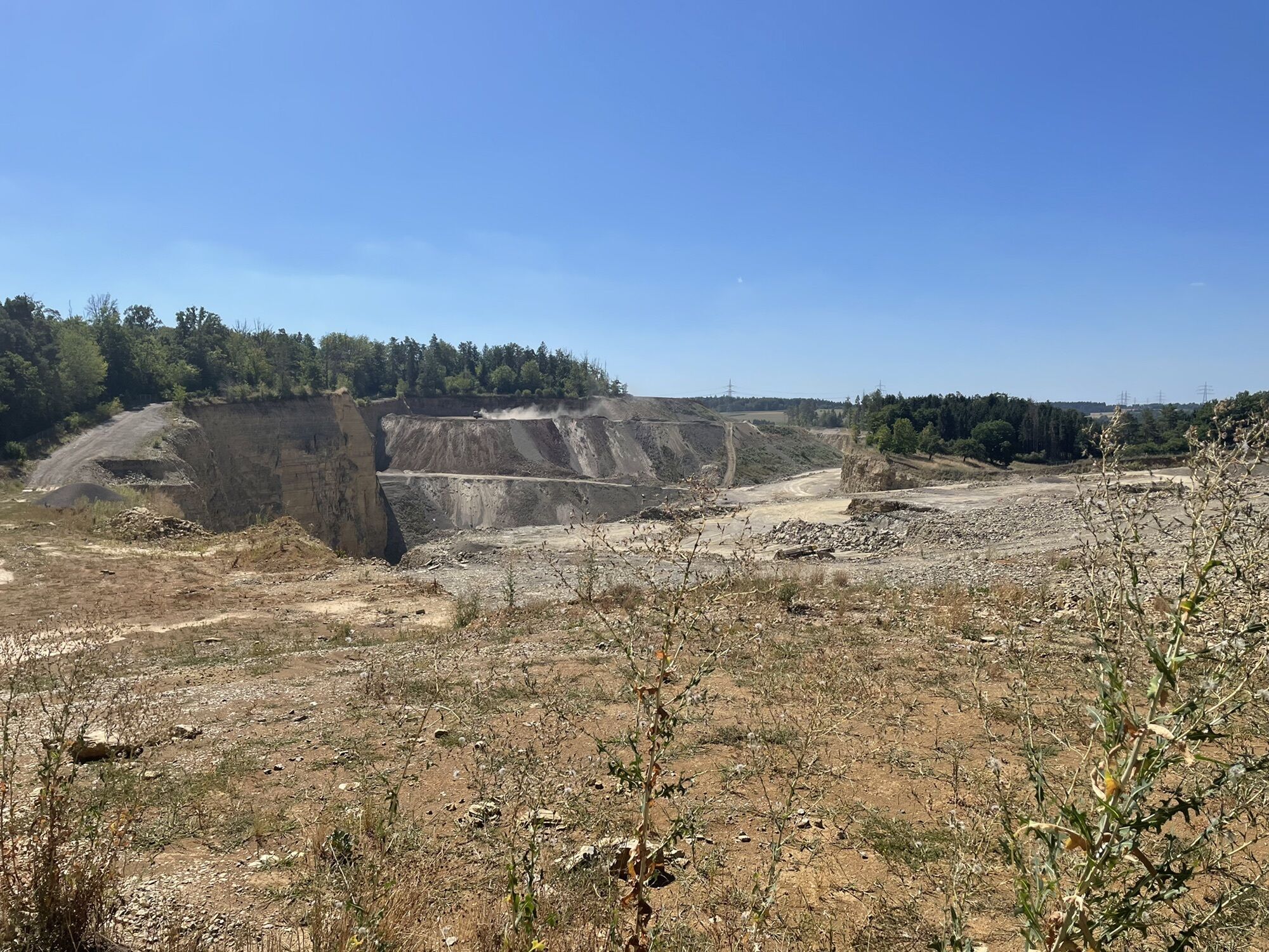
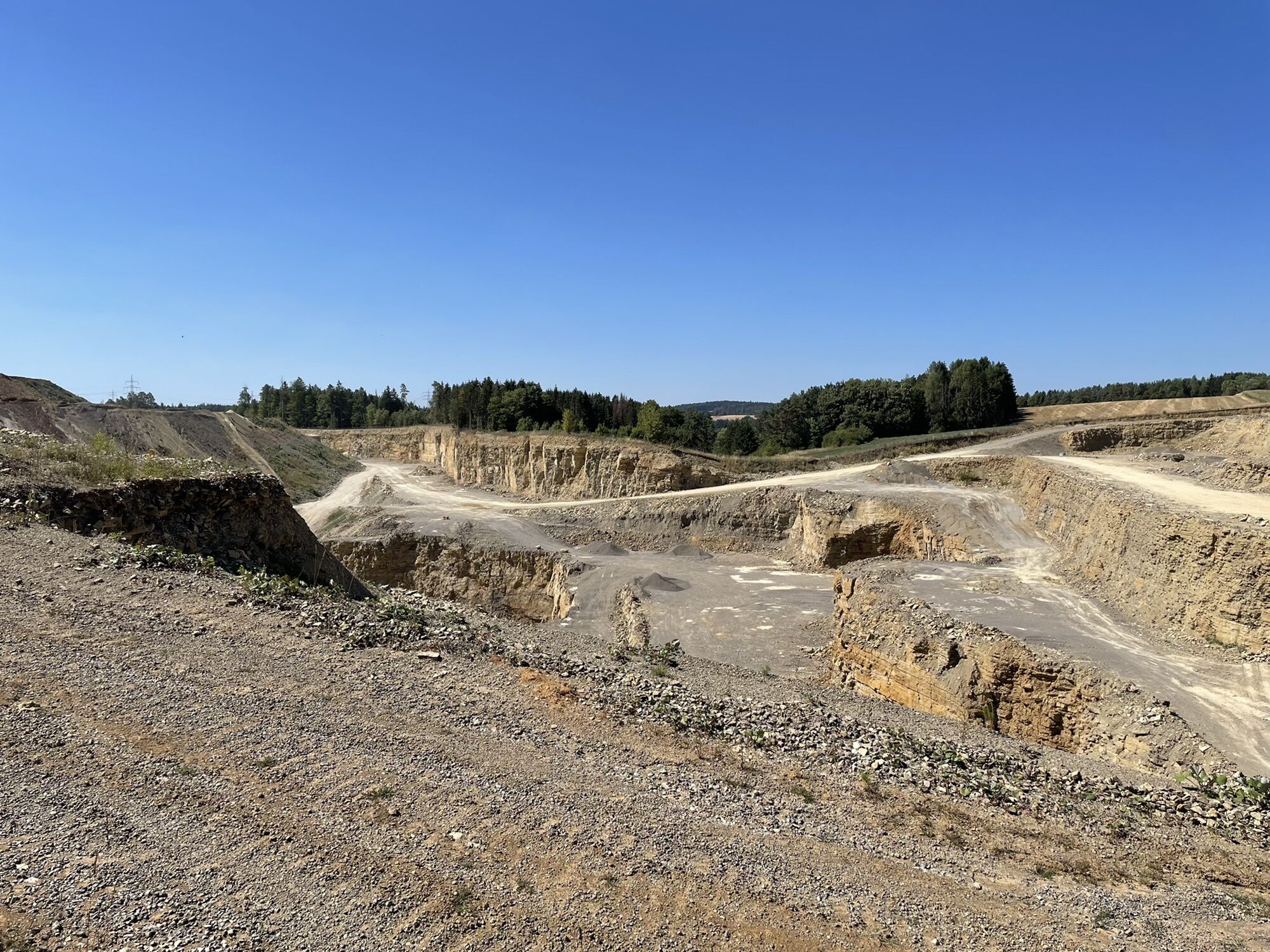
We enter the forest and continue towards the quarry. We walk along the edge of the quarry and can dare to look into it and discover how extensive it is laid out. At the end of the quarry, the border changes from Kuppingen to Oberjesingen. More boundary stones are found at the roadside, which are easily recognizable to the trained eye. Now it’s not far to the starting point.
Weather-appropriate hiking clothing is recommended. Remember to bring enough water and some provisions, as unfortunately there are no dining options along the route.
Hiking parking lot Häseleck, Teschweg, 72218 Wildberg - accessible from Wildberg, Sulz am Eck via Wettegasse and from L 296 coming from Oberjesingen towards Deckenpfronn, after the Egelsee/Deckenpfronn flying sports club turn left towards Sulz am Eck.
Take the Kulturbahn to Wildberg. Then take bus 775 to Sulz am Eck.
Entry to the route is possible in the town center of Sulz.
Hiking parking lot Häseleck or hiking parking lot at Sulzer Eck
Schwarzwaldverein Wildberg, local group Sulz am Eck: https://www.schwarzwaldverein-sulz-am-eck.de
Shepherd's Run town Wildberg: https://www.wildberg.de
Shepherd's Run in Wildberg: https://schaeferlauf-wildberg.de/
Also visit the Shepherd's Run town of Wildberg with leisure activities such as mini golf, the local museum in the Maria Reuthin monastery, and the castle complex.
Pridobite vpogled
Vedno v živo na mestu z več kot 9.500 spletnimi kamerami. bergfex Kot uporabnik Pro si lahko zdaj ogledate ustrezne spletne kamere za številne izlete v aplikaciji izleti iz. Tako si lahko neposredno ogledate trenutne razmere.
Priljubljeni izleti v okolici
-
4.9
Der Teinacher (Premiumweg & Genießerpfad)
srednjaPohodništvo 12.0 km -
5.0
Water, Woods and Meadowtrail / Zavelstein > Calw (Premium trail & Genussweg)
težkoPohodništvo 14.4 km -
5.0
AugenBlick route Bad Teinach-Zavelstein Zettelberg
težkoPohodništvo 15.5 km -
5.0
GeoTour Wildberg through the picturesque Lützenschlucht
težkoPohodništvo 2.80 km -
3.0
Rund um den Schönbuchturm
svetlobaPohodništvo 6.22 km -
5.0
Altensteig Nature Adventure Trail
srednjaPohodništvo 11.6 km -
5.0
From Altburg over scenic heights to Zavelstein
srednjaPohodništvo 10.6 km -
4.5
Waldeck ruins and the largest water wheel in Europe
srednjaPohodništvo 15.4 km -
4.0
Naturpark-AugenBlick-Runde Calw-Holzbronn
srednjaPohodništvo 13.3 km -
Exciting circular hike with beautiful views and culture
srednjaPohodništvo 9.98 km
Pohodništvo in sledenje


Ne zamudite ponudb in navdiha za naslednje počitnice
Vaš e-poštni naslov je bil dodan na poštni seznam.





