






Healing climate hiking trail No. 2 Schömberg
Starting point town hall - Mühlenweg - Eulenloch - turn right at the hut - Tennisplatz Langenbrand - Holzgasse - Schömberg - town hall. Difficulty due to the route: moderate.
Medium-length circular route...
Starting point town hall - Mühlenweg - Eulenloch - turn right at the hut - Tennisplatz Langenbrand - Holzgasse - Schömberg - town hall. Difficulty due to the route: moderate.
Medium-length circular route (7.5 km) with mostly flat or moderate and only a few steep climbs totaling about 180 meters in elevation. Average energy consumption for a 75 kg body weight: approx. 440 kcal.
Difficulty due to the climate: moderate.
Varied route, partly with more stimulating sections at the outskirts of Schömberg, along the Reichenbach or through Langenbrand, partly subdued climate stimuli under forest protection. In winter more cold stimuli, in summer rarely heat stress.
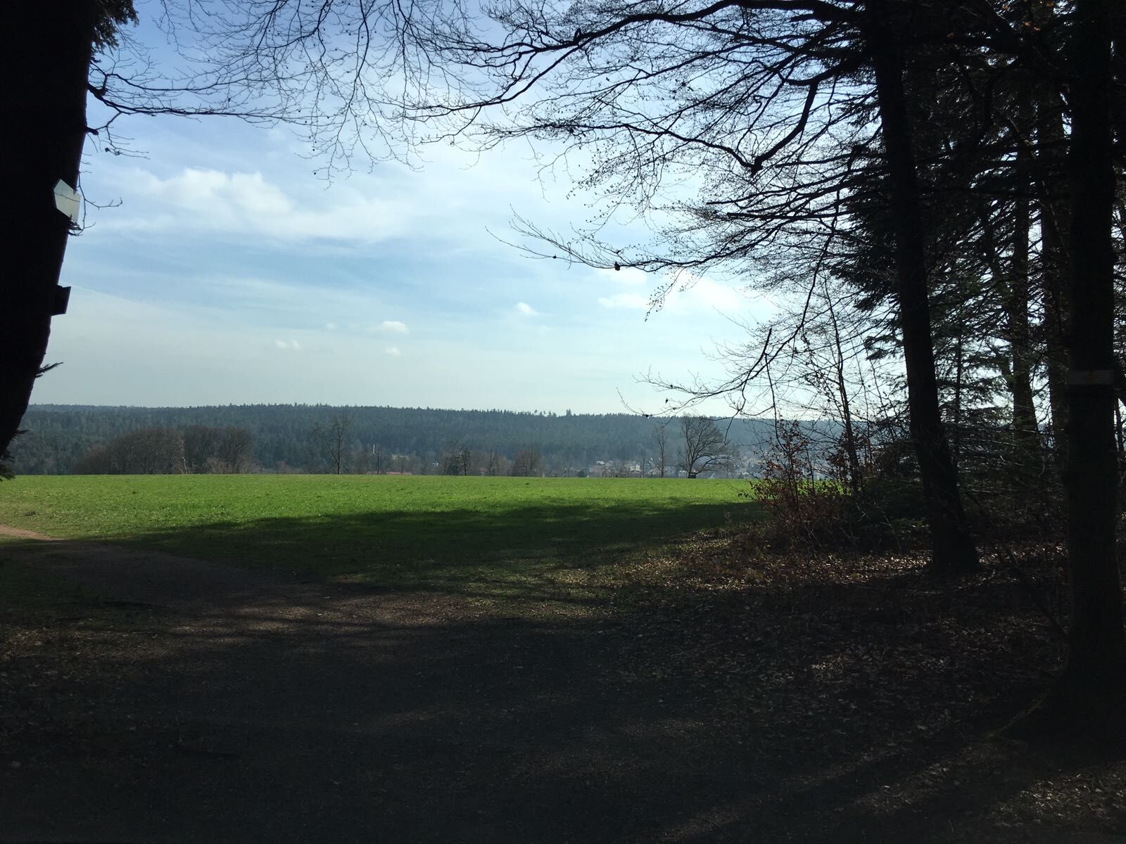
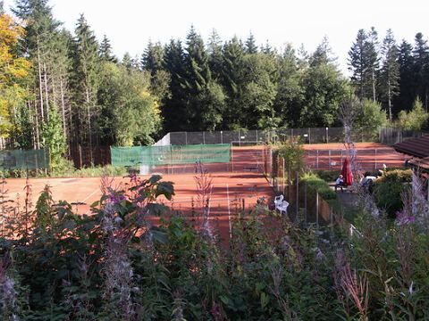
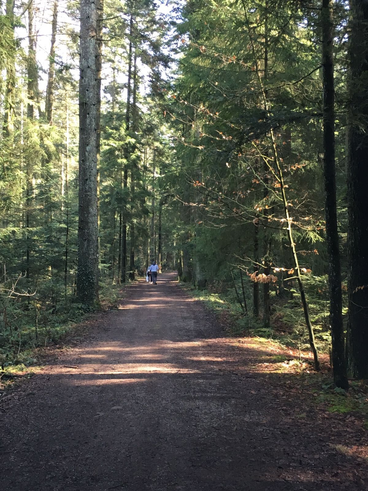
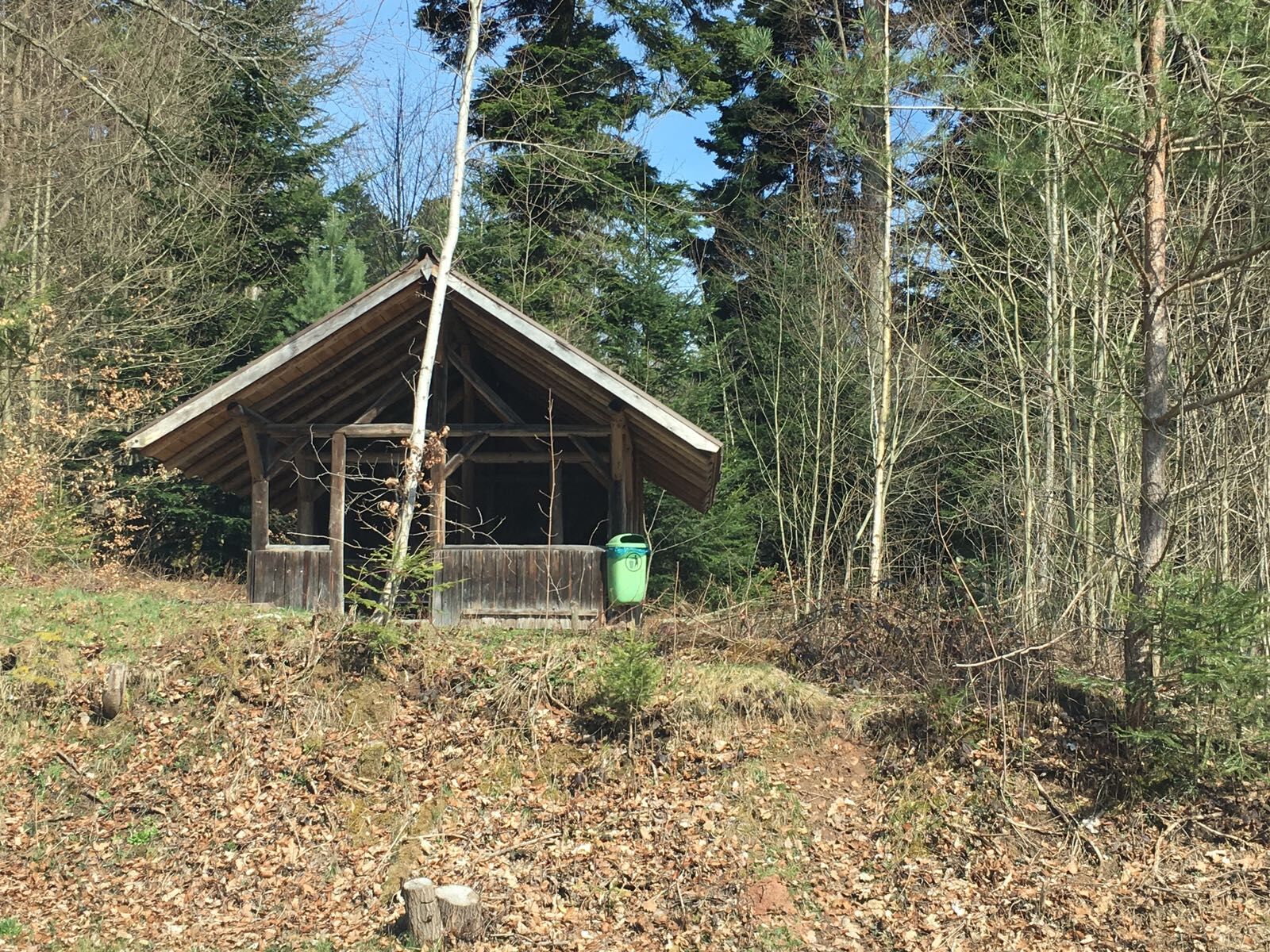

The healing climate hiking trails have their own signage and are numbered.
Starting point town hall - Mühlenweg - Eulenloch - turn right at the hut - Tennisplatz Langenbrand - Holzgasse - Schömberg - town hall
Sturdy shoes and weather-appropriate clothing.
From the north: via the A8 from Karlsruhe towards Stuttgart, take the Pforzheim West exit, continue via Büchenbronn and Salmbach to Schömberg.
From the east: A8 Stuttgart towards Karlsruhe, take the Renningen exit. Drive on L295 to Weil der Stadt. Continue via Bad Liebenzell to Schömberg.
From the south: A81 from Singen towards Stuttgart, take the Herrenberg exit and continue on L296 via Deckenpfronn and Calw to Hirsau. Continue on L463 to Bad Liebenzell. In the town center turn left towards Schömberg.
Destination address: Parkstraße, 75328 Schömberg (free parking at the end of Parkstraße)
By train to Bad Liebenzell (Nagold valley) or Höfen (Enz valley). From there, there are bus connections to Schömberg. Get off at the Rathaus stop.
Line 820 from Bad Liebenzell / Schömberg / Höfen
Line 725 from Neuenbürg / Waldrennach
Line 743 from Pforzheim / Engelsbrand / Schömberg / Bieselsberg
Public parking at the end of Parkstraße behind the town hall or on Parkstraße.
Dining options at Hotel Ehrich in Langenbrand or towards the end at Cafe Bauer (Talstraße) or Cafe Talblick.
Pridobite vpogled
Vedno v živo na mestu z več kot 9.500 spletnimi kamerami. bergfex Kot uporabnik Pro si lahko zdaj ogledate ustrezne spletne kamere za številne izlete v aplikaciji izleti iz. Tako si lahko neposredno ogledate trenutne razmere.
Priljubljeni izleti v okolici
-
4.7
Hiking through the Monbach Gorge in search of the kingfisher
srednjaPohodništvo 10.5 km -
5.0
Wild romantic Monbach Valley
svetlobaPohodništvo 6.25 km -
4.7
Eyach round
srednjaPohodništvo 7.84 km -
4.7
Through the wild romantic Schweinbachtal to the Bruderhöhle cave
srednjaPohodništvo 13.8 km -
4.5
Wolfsschlucht and Fox Gorge
srednjaPohodništvo 9.74 km -
5.0
Der Teinacher (Premiumweg & Genießerpfad)
srednjaPohodništvo 12.0 km -
3.0
Dobel High-Altitude Route
srednjaPohodništvo 11.8 km -
5.0
Water, Woods and Meadowtrail / Zavelstein > Calw (Premium trail & Genussweg)
težkoPohodništvo 14.4 km -
5.0
From Bieselsberg into the wild Monbach valley - dream route on small paths
težkoPohodništvo 18.0 km -
5.0
AugenBlick route Bad Teinach-Zavelstein Zettelberg
težkoPohodništvo 15.5 km
Pohodništvo in sledenje


Ne zamudite ponudb in navdiha za naslednje počitnice
Vaš e-poštni naslov je bil dodan na poštni seznam.





