


A Touch of Westweg
This route takes you through the untouched nature of Bad Herrenalb. From Neusatzer Pfütz it goes to the high-altitude town Dobel. From there you walk on the legendary Westweg until you reach Weithäusle...
This route takes you through the untouched nature of Bad Herrenalb. From Neusatzer Pfütz it goes to the high-altitude town Dobel. From there you walk on the legendary Westweg until you reach Weithäusle and then turn back towards Herrenalb. Through the town past the monastery and the spa park, you return over the deer enclosure to Neusatzer Pfütz.
We start our route at the idyllic Neusatzer Pfütz. The Schwarzwaldverein signpost leads us diagonally across the parking lot to a path into the forest, marked by the blue lozenge. We continue along this path and cross another path until we reach the next crossroads with a signpost. Here we continue straight ahead following the blue lozenge until we reach the edge of the forest. There we turn left and can already see the first houses of the sun island Dobel.
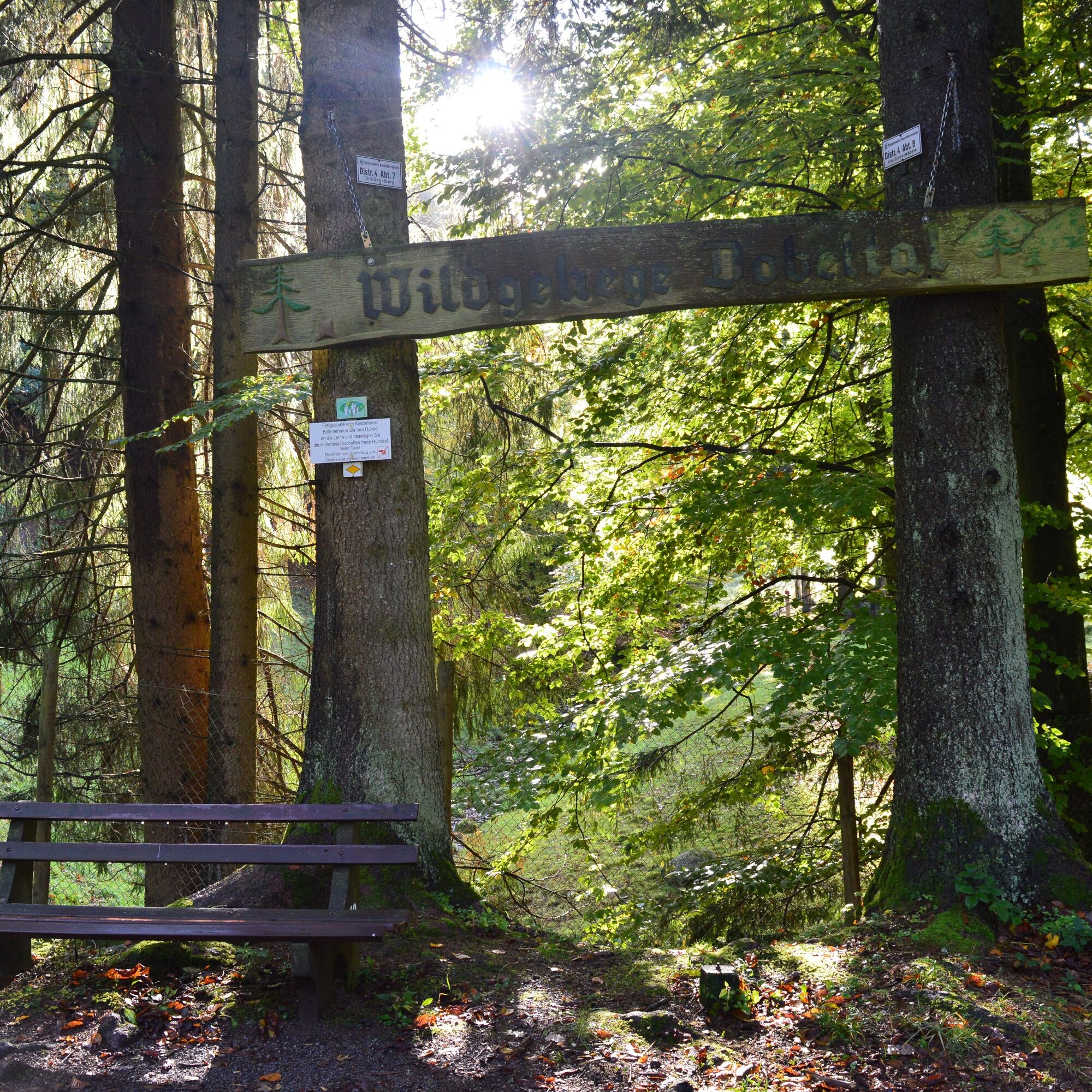
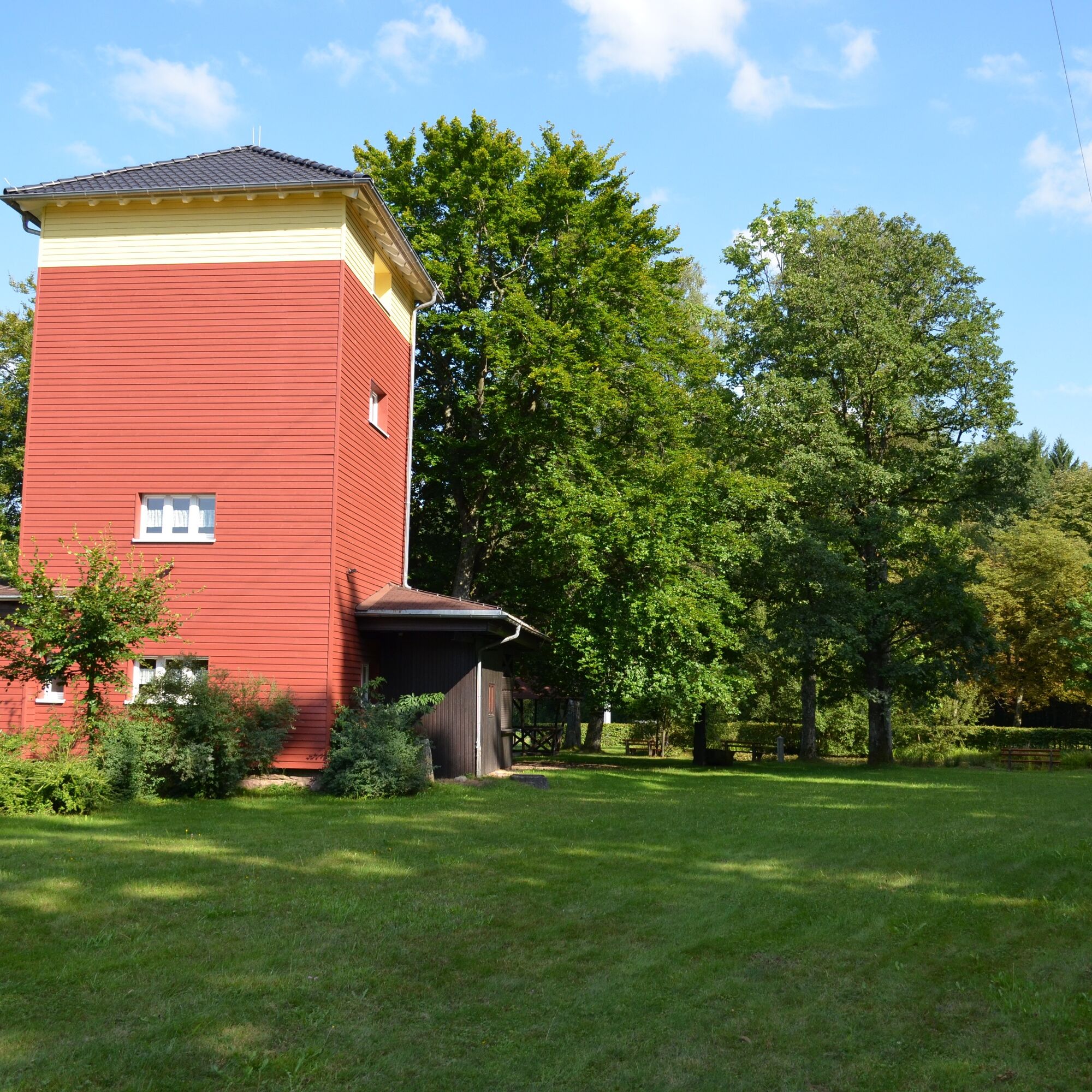
The blue lozenge takes us onto Neusatzer Straße past the Protestant church to the town hall and the elementary school of Dobel. At the elementary school, we continue to follow the blue lozenge along the winding path to the main road, cross it, and now follow the red lozenge, the legendary Westweg. As soon as we have crossed the street, we turn right and cross the Wildbader Straße. From here, we can already see the Westweg portal of Dobel. We go through this, past the spa park, directly towards the old water tower. Below the water tower, we turn left uphill. If the tower is open, we can enjoy the view over the Rhine plain here.
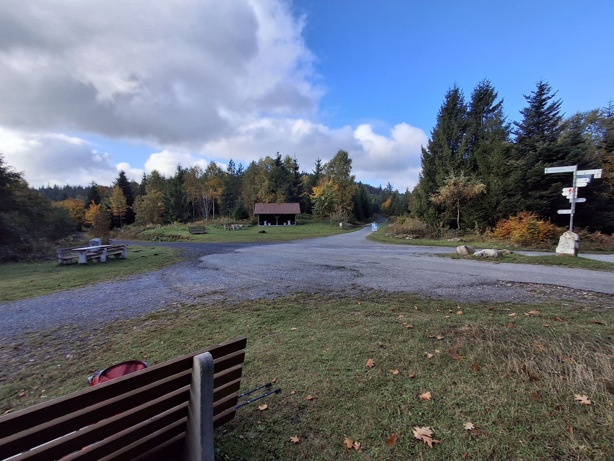
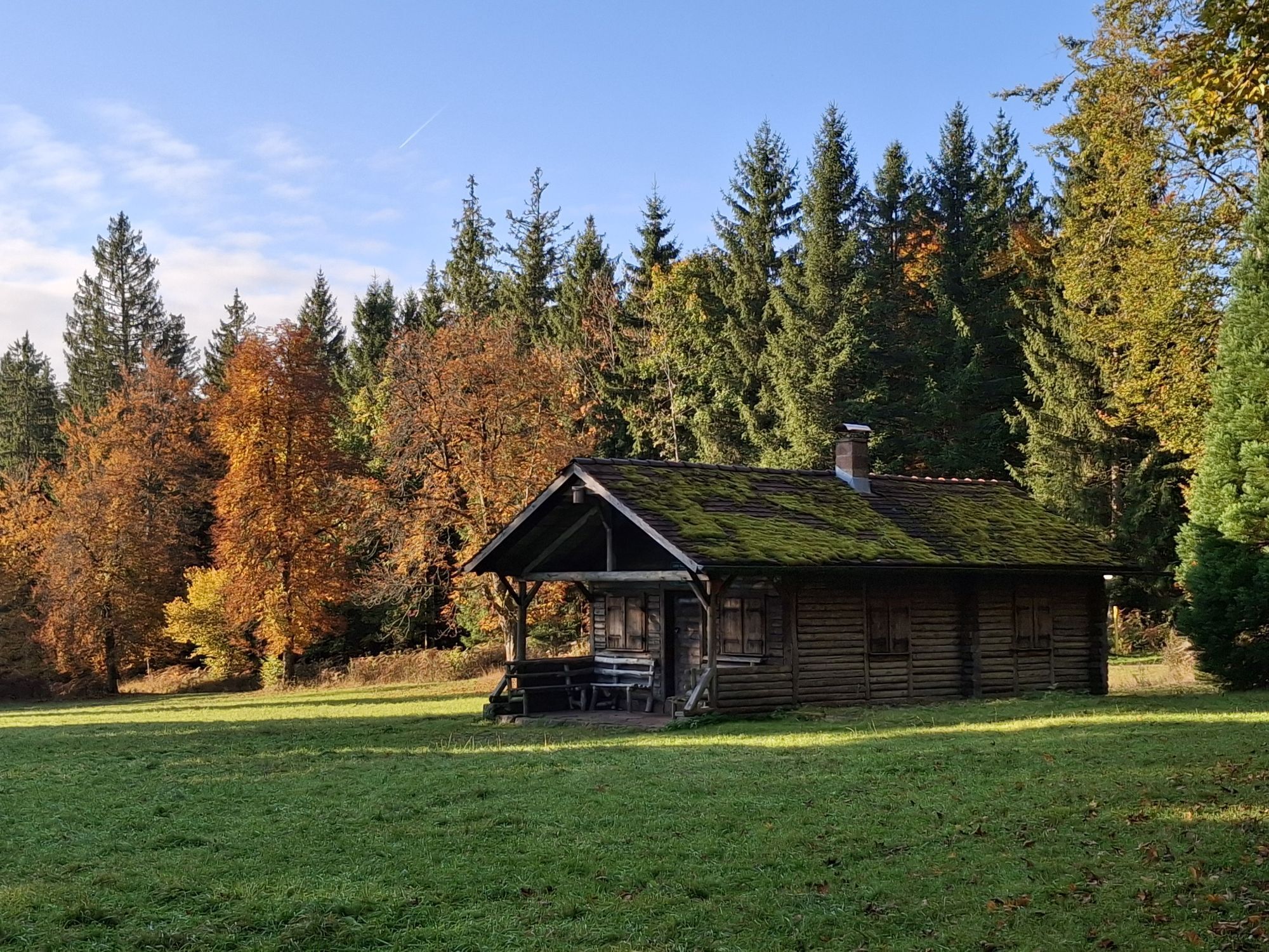
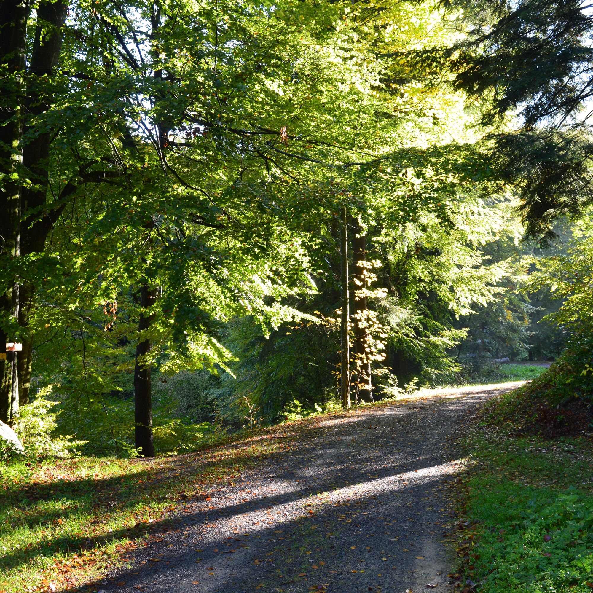
From the tower, we continue to follow the red lozenge to the Höhenstraße and follow it a short piece on the right side until we recognize a Westweg memorial stone at the edge of the forest. We pass this and go onto the path into the forest. We follow this path straight ahead until we see a hut on both the left and right at a crossroads. We continue straight ahead following the red lozenge. The path now goes slightly uphill and after a right turn we reach the next crossroads. Here we first go straight ahead, but attention a little further on the red lozenge leads us onto a path on the right into the forest. We continue along this path until we again turn right onto a wider path and follow it, and shortly afterwards turn left onto a path in the forest, which shortly leads onto a wider path. We leave this path quite quickly again by turning left onto another path in the forest and thus circle the Stierkopf. The path leads us directly to the Weithäusleplatz with a rest hut.
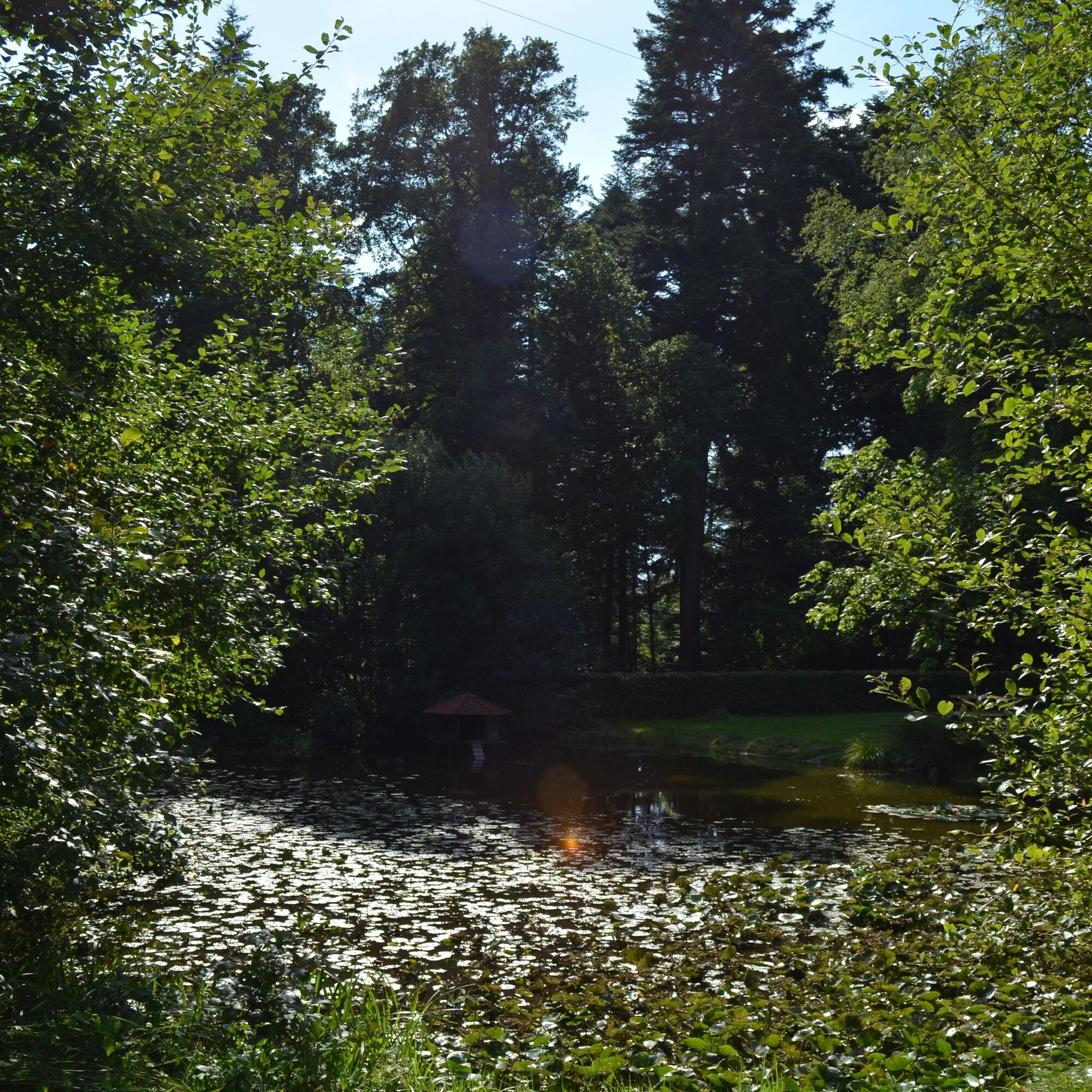
Here our route separates from the legendary Westweg and we follow the yellow lozenge on an asphalted path towards the Talwiese. We follow this path downhill for about three kilometers. When hiking, always keep an eye on your surroundings; intermittently there are hidden views of Bad Herrenalb. At the crossroads with the street we first turn right and reach the Talwiese. Here we go left at the path triangle and follow the street for a short distance past the Talwiesenbrunnen and then turn left onto a narrow street. We follow this downhill, cross the street "Zieflensberg", and then reach the Steudingerweg past the Landgsthof Spechtschmiede.
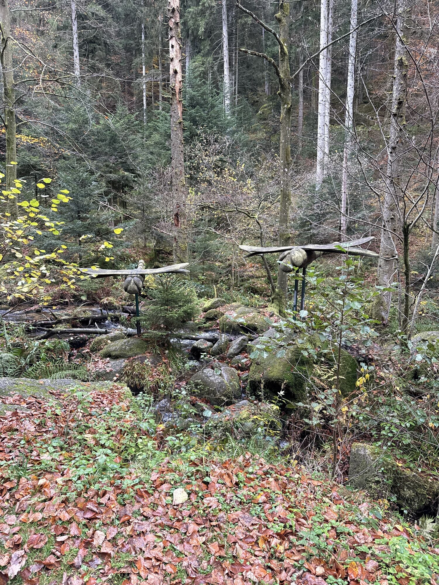
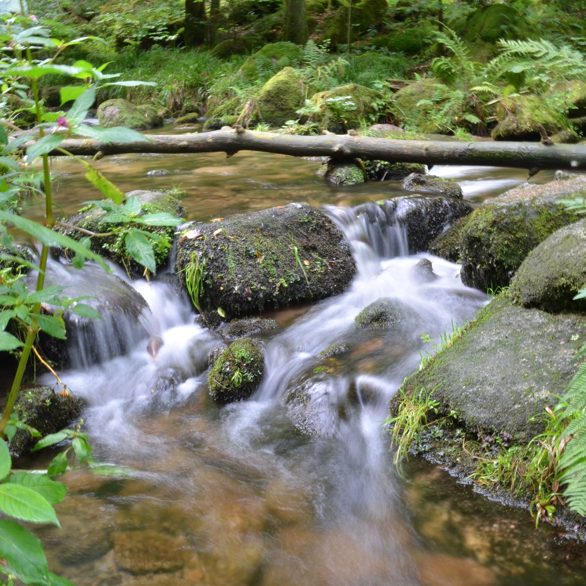
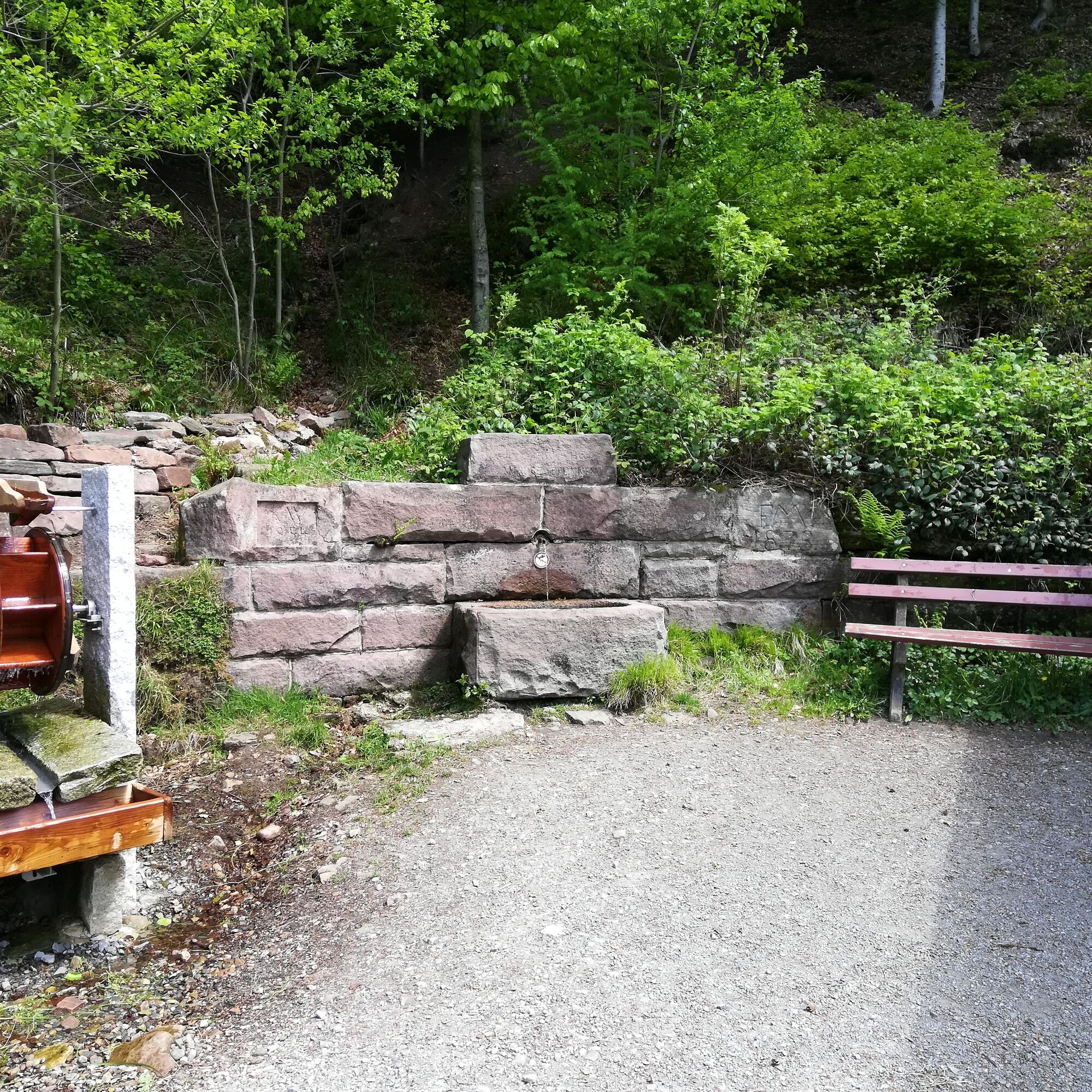
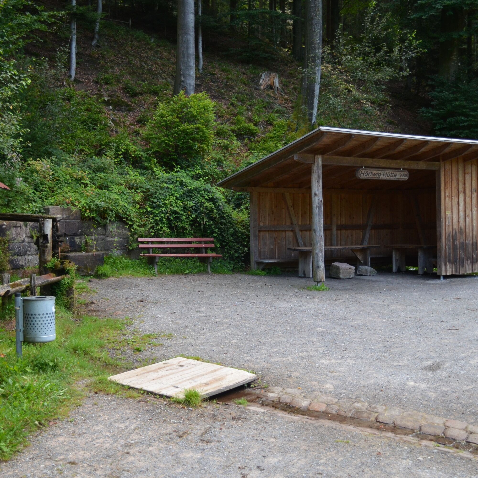
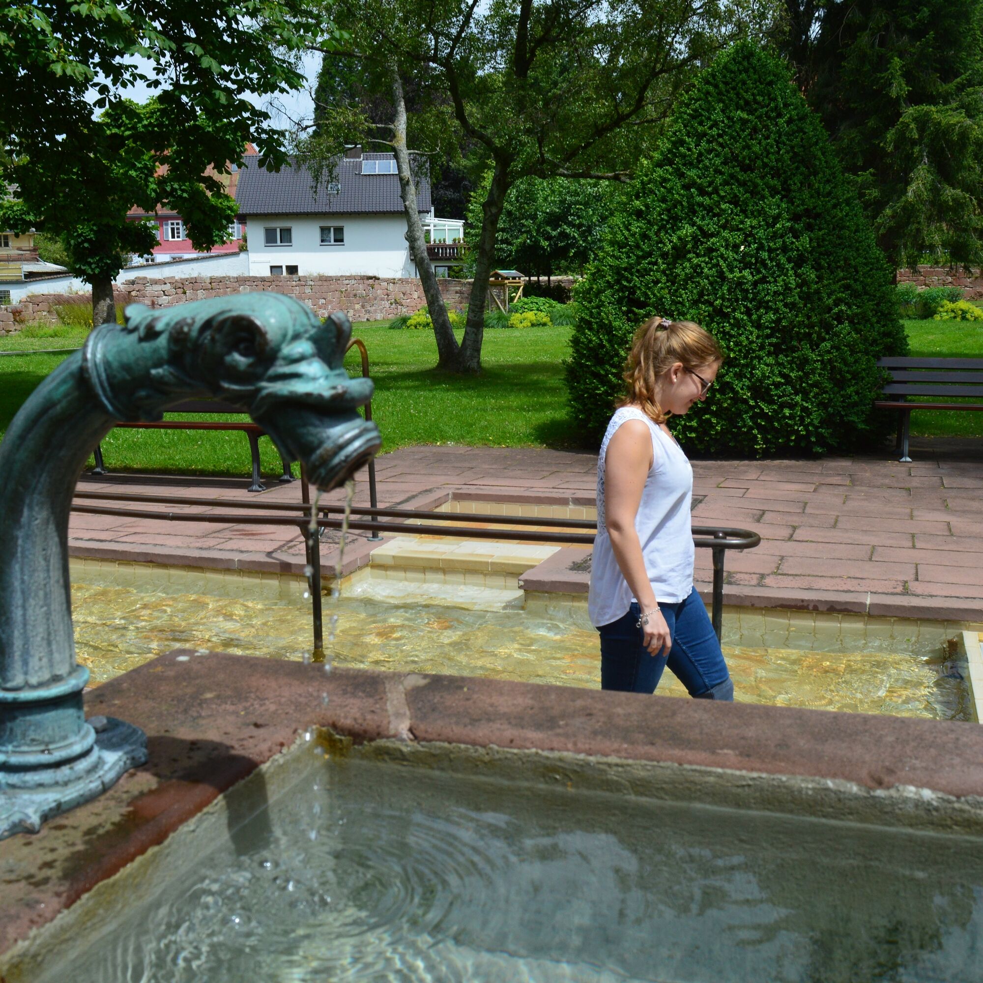
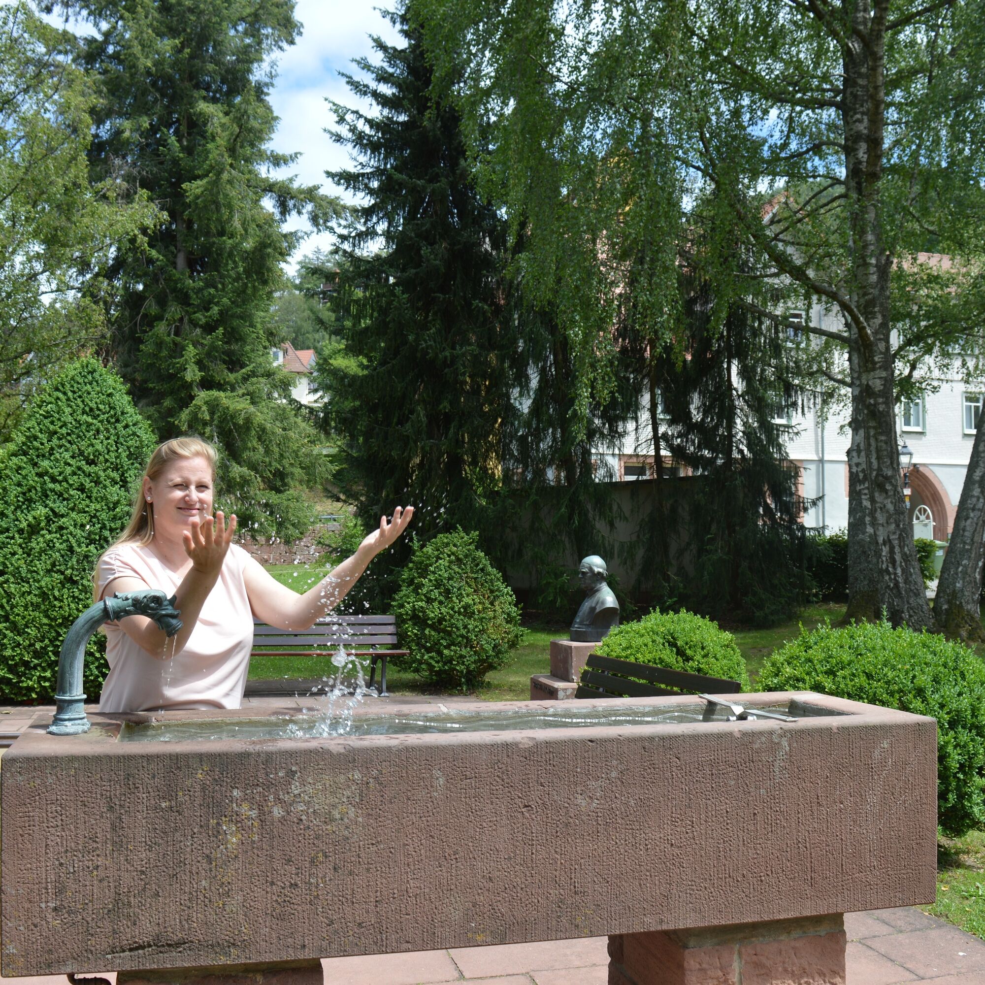
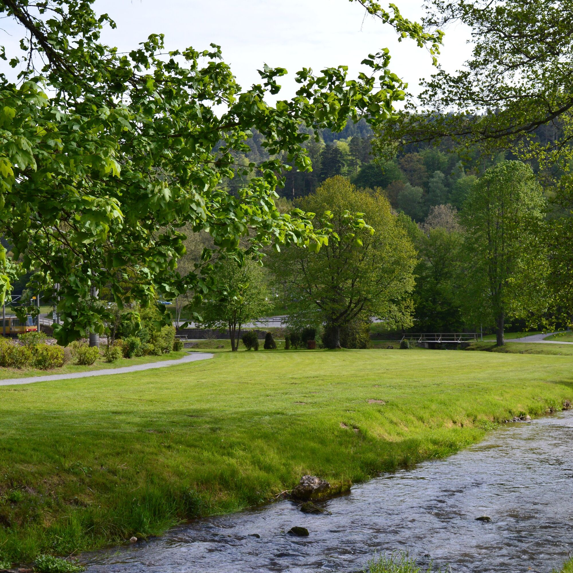
We reach a shed on the right side of the path, here we turn right onto the source experience path and follow this path marked with the blue lozenge to the hiking car park "Albtalweg". Along the way we pass an impressive rock formation at the Knoll bridge, and the path mostly runs directly next to the still young Alb river, which sometimes shows itself calm and other times a bit wilder. Towards the end of the path, we reach the Härtwighütte with a water wheel inviting us to rest. We continue along the path until we can see the first houses of Bad Herrenalb. We continue to follow the blue lozenge, which leads us onto the street "Albtalweg", from which we shortly afterwards turn left onto the "Weg zur Schanz" until the next Schwarzwaldverein signpost. Here the blue lozenge leads us down a staircase to the Klosterscheuer, past which we go into the monastery quarter. We walk past the monastery (to the left of the monastery is a Kneipp basin) directly through the archway and over the town hall square into the spa park. We cross it and at the end of the spa park cross the Kurpromenade to turn left towards the train station.
In front of the station building, we turn right and cross the Park & Ride car park. Over a bridge, we get to the Swiss meadow. We follow this path to the end of the Swiss meadow. At the Schwarzwaldverein signpost, we now follow the yellow lozenge, turn right, and follow the path until we reach Ettlinger Straße. We cross this and follow the Bleichweg uphill to the next crossroads. Here we briefly follow the Graf-Berthold-Straße and then immediately turn left onto the Dobelbachweg. We now follow this straight ahead until we reach the deer enclosure in the Dobel valley. There is a seating area inviting you to rest and to observe the animals.
After the rest, we walk past the enclosure continuing straight ahead and follow the path with the yellow lozenge until we reach the next crossroads. Here we turn right and continue to follow the path with the yellow lozenge, which shortly afterwards first makes a sharp left turn and later another left bend. At the next crossroads, we turn left and thus continue to follow the path with the yellow lozenge, which leads us after the crossing of the street directly back to our starting point at the Neusatzer Pfütz.
Da
Good footwear, weather-appropriate clothing, and a small backpack snack for in between.
Tip: There are two Kneipp basins on the route, so it’s best to bring a towel!
In the forest areas, mobile phone reception is not always guaranteed.
Pay attention to the names on the Schwarzwaldverein posts; these also serve as a safety network.
By car:
Coming from Frankfurt or Basel, take the A5 motorway, exit Ettlingen, then follow the signs towards Neusatz. Coming from Stuttgart, take the A8 motorway, exit Karlsbad/Bad Herrenalb, then follow the signs towards Neusatz.In Neusatz, follow the road to the edge of the town and turn left onto the path before the forest edge, follow this to the parking lot at Neusatzer Pfütz.
From Karlsruhe:
Take the S1 to Bad Herrenalb and from there take bus lines 716/719 to Neusatz Calwer Straße
From Pforzheim & Dobel:
Take bus lines 716/719 to Neusatz Calwer Straße
From Calw:
Take regional bus line X63 to Bad Herrenalb station and from there take bus lines 716/719 to Neusatz Calwer Straße
Neusatzer Pfütz parking lot
Tourism and City Marketing Bad Herrenalb
Rathausplatz 11
76332 Bad Herrenalb
Tel: 07083/5005 55
E-mail: info@badherrenalb.de
www.badherrenalb.de
The entire route is signposted by the Schwarzwaldverein (lozenge system).
Detour to the viewing platform on the Falkenstein rock.

Priljubljeni izleti v okolici
- 5.0
Circular route via spring nature trail and Wurstberg
svetlobaPohodništvo 8.08 km - 4.7
Eyach round
srednjaPohodništvo 7.84 km - 4.2
Kaltenbronn Circular Route No. 1 - Wildsee Moor Loop
svetlobaPohodništvo 8.30 km - 3.0
Dobel High-Altitude Route
srednjaPohodništvo 11.8 km - 4.3
Nature experience tour Kaltenbronn
srednjaPohodništvo 14.2 km - 4.0
Spaziergang zum Bernsteinfelsen
srednjaPohodništvo 14.5 km - 4.8
Weisenbacher Steig (Rechts der Murg)
srednjaPohodništvo 17.6 km AugenBlick route Bad Herrenalb Schweizerkopf
srednjaPohodništvo 15.5 km- 4.3
The hang glider route
srednjaPohodništvo 9.09 km - 4.0
Bad Herrenalb town circuit
srednjaPohodništvo 10.5 km
Pohodništvo in sledenje


Ne zamudite ponudb in navdiha za naslednje počitnice
Vaš e-poštni naslov je bil dodan na poštni seznam.