


Hegauer Aach river adventure trail
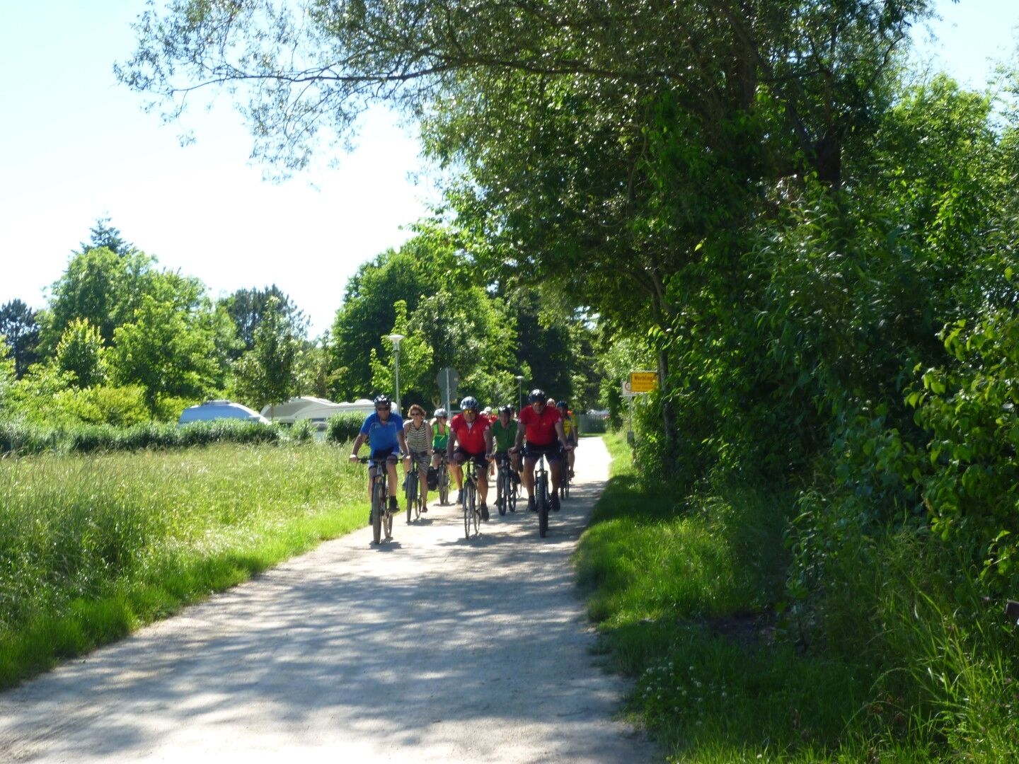
The cycle path is 40 km long, starting in the municipality of Mühlhausen and leading past the source of the Aach in the small town of the same name to where it flows into Lake Constance. A scenic river...
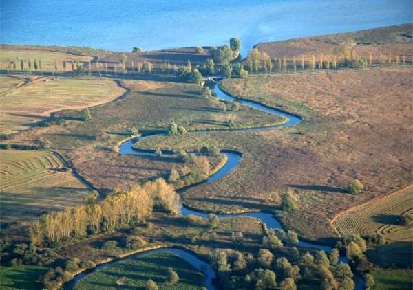
The cycle path is 40 km long, starting in the municipality of Mühlhausen and leading past the source of the Aach in the small town of the same name to where it flows into Lake Constance. A scenic river cycle tour on paved, non-asphalted paths away from the road. Many impressive views of old castle ruins provide variety. The Weitenried, Hausener Aachried, Bohlinger Aachried, Radolfzeller Aachried and Aach estuary nature reserves are located on the banks of the Aach.

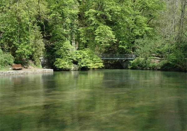
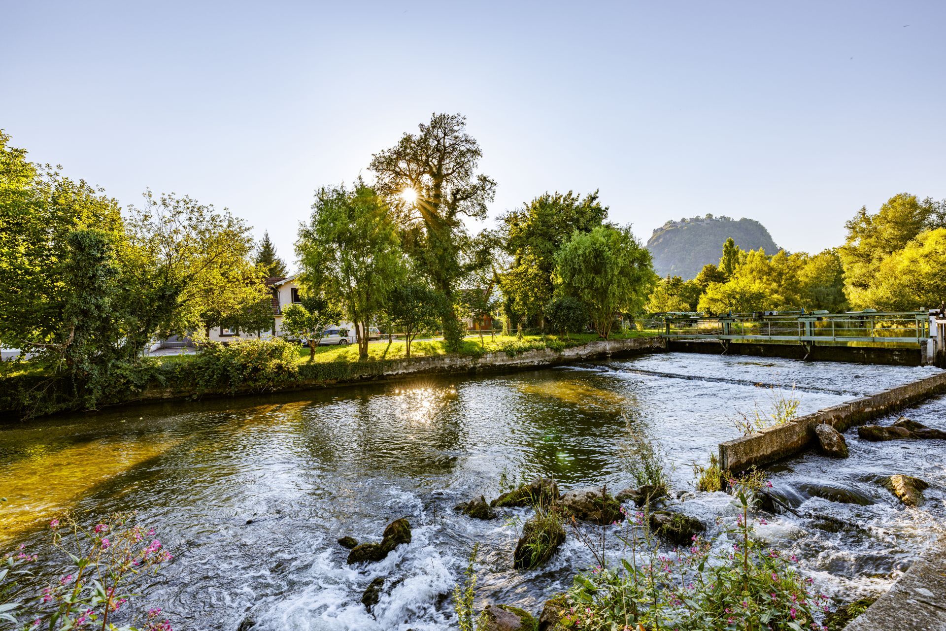

The tour is marked with a white wave on a blue background. The trail starts at the train station in Mühlhausen-Ehingen/ Mühlhausen district. From there, we cycle to the left parallel to the railroad line until we reach the level crossing at the sports field. Here we turn left. When we reach the local road, we follow it to Aach (5 km) and the Aach spring. Given the high flow rate of the Aach (average 9000 l/sec.), it is not surprising that a mill was built right at the edge of the spring, which is no longer in operation today, but can still be recognized by the weir, canal and old millstones lying around.
The Aachtopf is the actual starting point of our tour. Following the same route as described above (only in reverse order), we now head west downstream to Mühlhauser Straße.
Our route continues along country lanes towards Volkertshausen. Shortly before a new development area in Volkertshausen, we turn left onto the gravel path at a meadow orchard and a solitary farmstead and, after a short, steep descent, reach the Aach - Volkertshausen local road. We cross the road on a crosswalk and cycle along the parallel cycle path towards Volkertshausen.
We soon turn right onto Wiesenstraße, which leads us back out into the open fields. Here the valley widens out into the Weitenried basin.
We cross the Aach on a field path bridge and cycle downstream on the right bank path until we reach the highway (Hegau - Stockach junction). Here our route leads to the right along the foot of the freeway to the Volkertshausen - Beuren local road.
We now cycle down the valley for approx. 800 m on the cycle path parallel to the country road, cross the country road (L 189a) and cycle on the asphalt path to Beuren an der Aach (Aacherweg). We cross the Aach on the bridge in the center of the village.
We cycle downstream on the cycle path to the left of the Aach. After approx. 500 m, we cross the Aach again over a bridge (connecting road Beuren - Friedingen) and follow the Aach on the right.
After approx. 1.5 km, Hausen an der Aach appears on the right. Around 1 km south of Hausen, we cross the Aach over the Hausen - Remishof bridge and then descend on the left-hand side of the Aach.
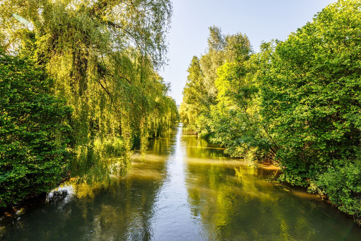
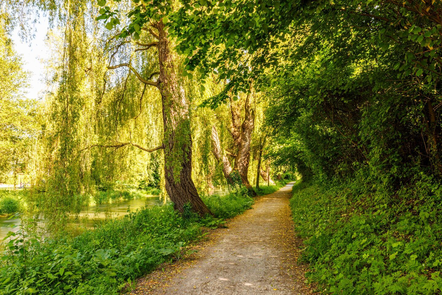
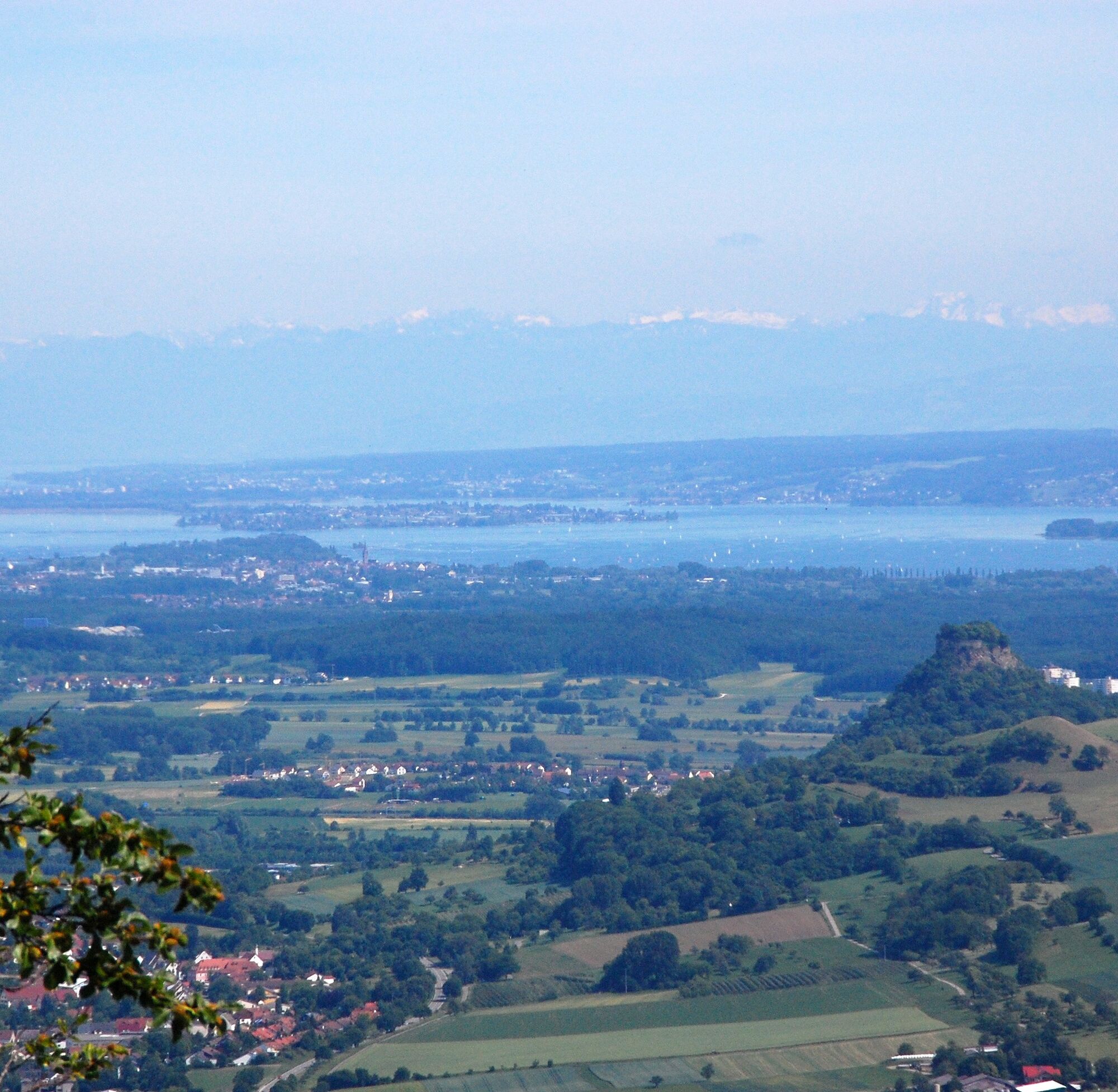
We soon reach the entrance to Singen, ride under the Hohenkrähenbrücke bridge and along mighty weeping willows in the town area downstream. Passing allotments and another weir, we reach Schlachthausstraße, follow it until after the railroad underpass and then turn left back to the Aach, which we then follow downstream on the western side.
We continue comfortably along the banks of the Aach towards Rielasingen. There we cross the main road at the pedestrian crossing. A little later, the Aach bends gently from the south to the east towards Lake Constance. The ride continues via Arlen to Worblingen. Passing the open-air swimming pool, we reach the open fields again and continue to Bohlingen. Via Fabrikstraße, our route leads out of the village again to the Aach.
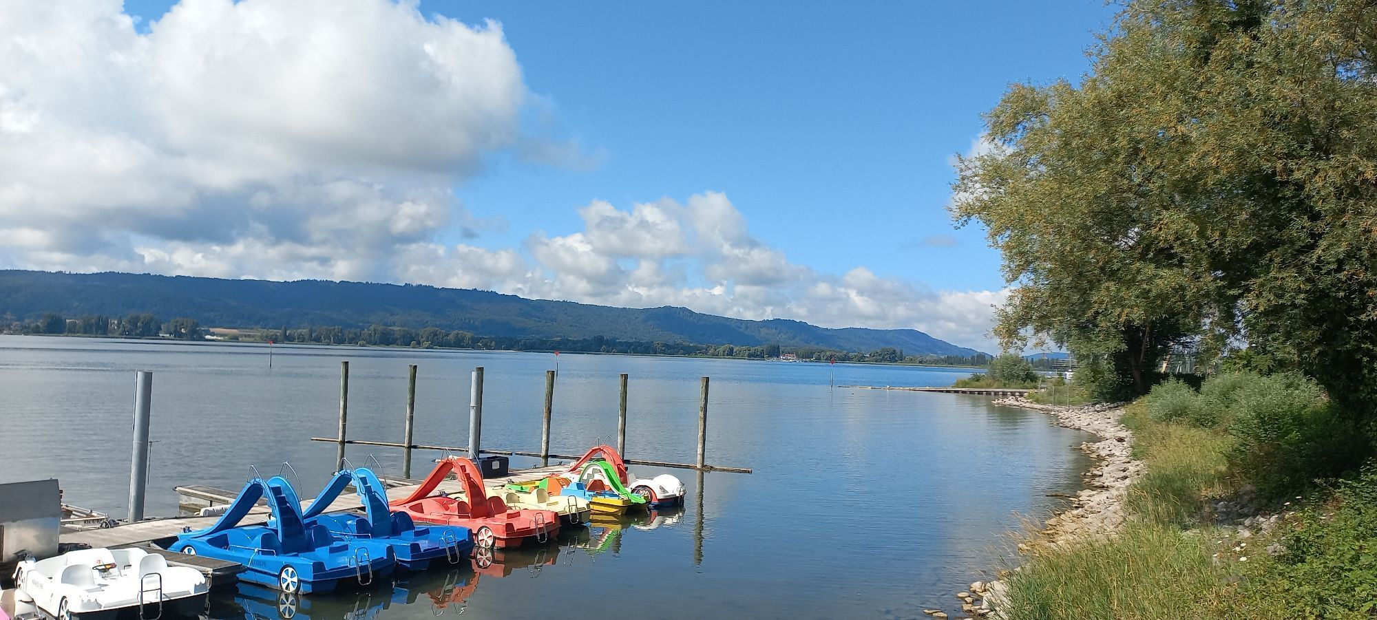
We continue along the asphalt road to the hamlet of Ziegelhof and past a market garden. We soon reach Moos via Mühlweg. It is worth making a detour to the marina there. Back on Radolfzeller Straße, we turn right towards Radolfzell. We travel to the train station there, from where we can take the "Seehas" back to the starting point of the trail, Mühlhausen-Ehingen station.
Da
Da
Take the A81 to Engen and then the L191 to Mühlhausen-Ehingen station.
It is possible to travel by train to Mühlhausen-Ehingen station. If the return journey from the mouth of the river between Moos and Radolfzell back to Mühlhausen is too far, you can take the "Seehas" regional train from Radolfzell back to Mühlhausen-Ehingen (bicycles can be taken for a fee).
Parking lot at the train station
The cycle path is signposted with a white wave on a blue background.
Places of interest:
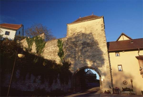
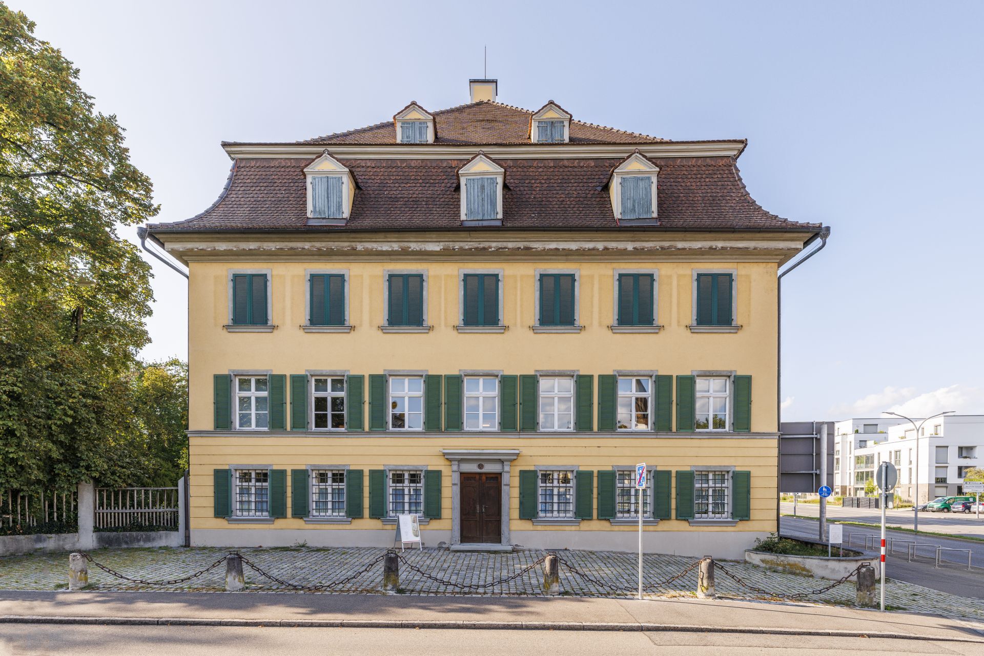
- Aach spring and old town of Aach
- Hegaumuseum Singen
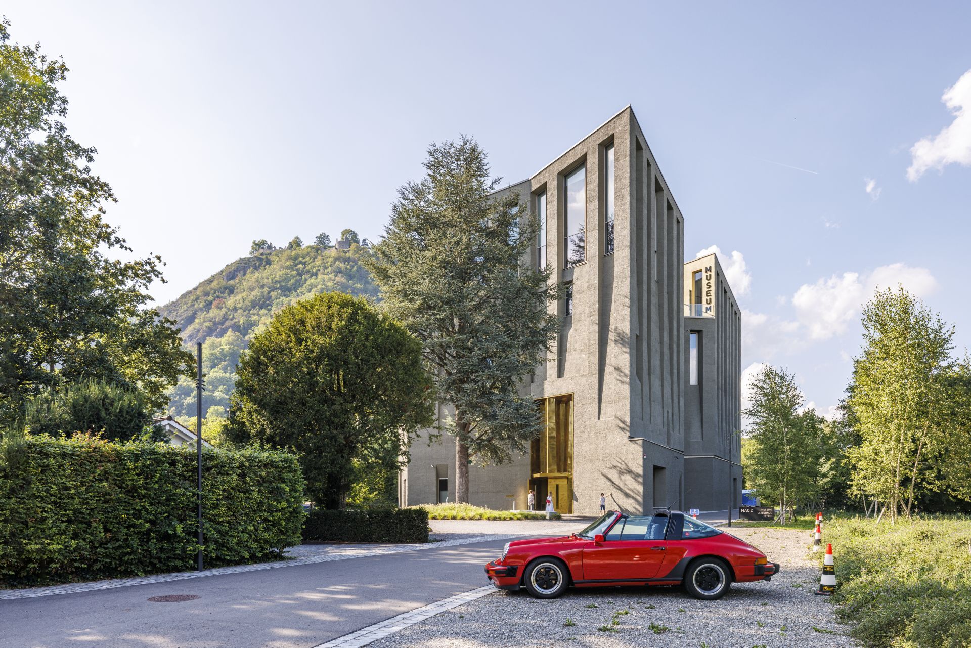
- MAC Museum Art and Cars in Singen
- Old town and waterfront promenade Radolfzell
Spletne kamere s turneje
Priljubljeni izleti v okolici
-
5.0
Mindelsee-Runde
svetlobaPohodništvo 7.83 km -
Hike on the panorama route of the Höri Peninsula
srednjaPohodništvo 8.11 km -
4.0
Bodanrück-Runde
težkoPohodništvo 8.36 km -
4.0
Circular hike Gaienhofen-Middle Höri
srednjaPohodništvo 12.6 km -
4.5
Mühlsberg route
srednjaPohodništvo 8.67 km -
3.7
Firstweg Langenmos
srednjaPohodništvo 5.76 km -
4.0
Rundwanderung Liggeringen - Bodman
srednjaPohodništvo 13.0 km -
2.8
"Hegauer Kegelspiel" Hewensteig
srednjaPohodništvo 6.23 km -
Stein am Rhein - Hohenklingen Castle - Stein am Rhein
srednjaPohodništvo 7.79 km -
5.0
"Hegauer Kegelspiel" Hohentwieler
srednjaPohodništvo 7.21 km
Pohodništvo in sledenje


Ne zamudite ponudb in navdiha za naslednje počitnice
Vaš e-poštni naslov je bil dodan na poštni seznam.