Navigacija po spletni strani
Pridobite to turo v svoj mobilni telefon
Zemljevid
Silhouette route – Discover 1300 years of history by bike & ship
srednja
Kolesarjenje
58.50 km
Skenirajte kodo QR in začnite navigacijo v aplikaciji bergfex.
QR Code
Pohodništvo in sledenje

Silhouette route – Discover 1300 years of history by bike & ship

Razdalja
58.5 km
Trajanje
04:10 h
Ascent
237 hm
Morska gladina
394 - 456 m

Stopnja težavnosti: 4
Prenos skladbe
Zemljevid
Silhouette route – Discover 1300 years of history by bike & ship
srednja
Kolesarjenje
58.50 km

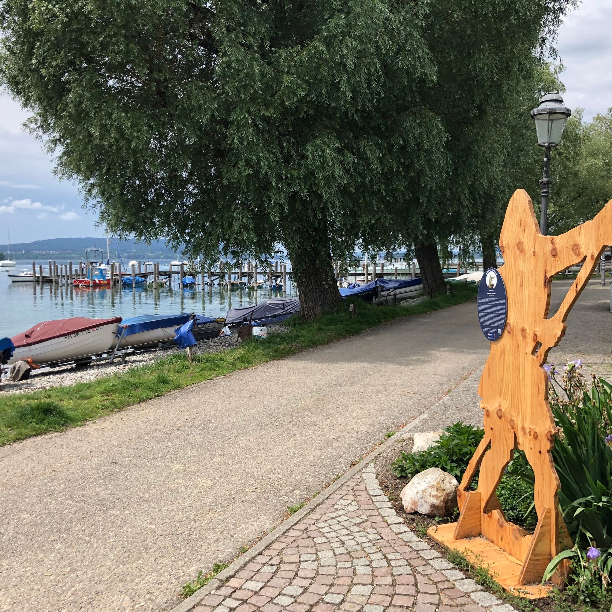
1st point: Landing place in Allensbach: Stele of the ferryman Konrad Stader

2nd point: Markelfingen, at the Narrenbrunnen (Fools Fountain): fisherman Uli Judan

3rd point: Radolfzell, Stadtgarten: Bishop...

Opis

1st point: Landing place in Allensbach: Stele of the ferryman Konrad Stader

2nd point: Markelfingen, at the Narrenbrunnen (Fools Fountain): fisherman Uli Judan

3rd point: Radolfzell, Stadtgarten: Bishop Ratoldus

4th point: Moos, Iznang: farmer's wife

5th point: Gaienhofen, ship dock: Prior Johann Ego

6th point: Berlingen, harbor: wine farmer Silvana

7th point: Salenstein, Napoleon Museum: Prince Louis Napoleon

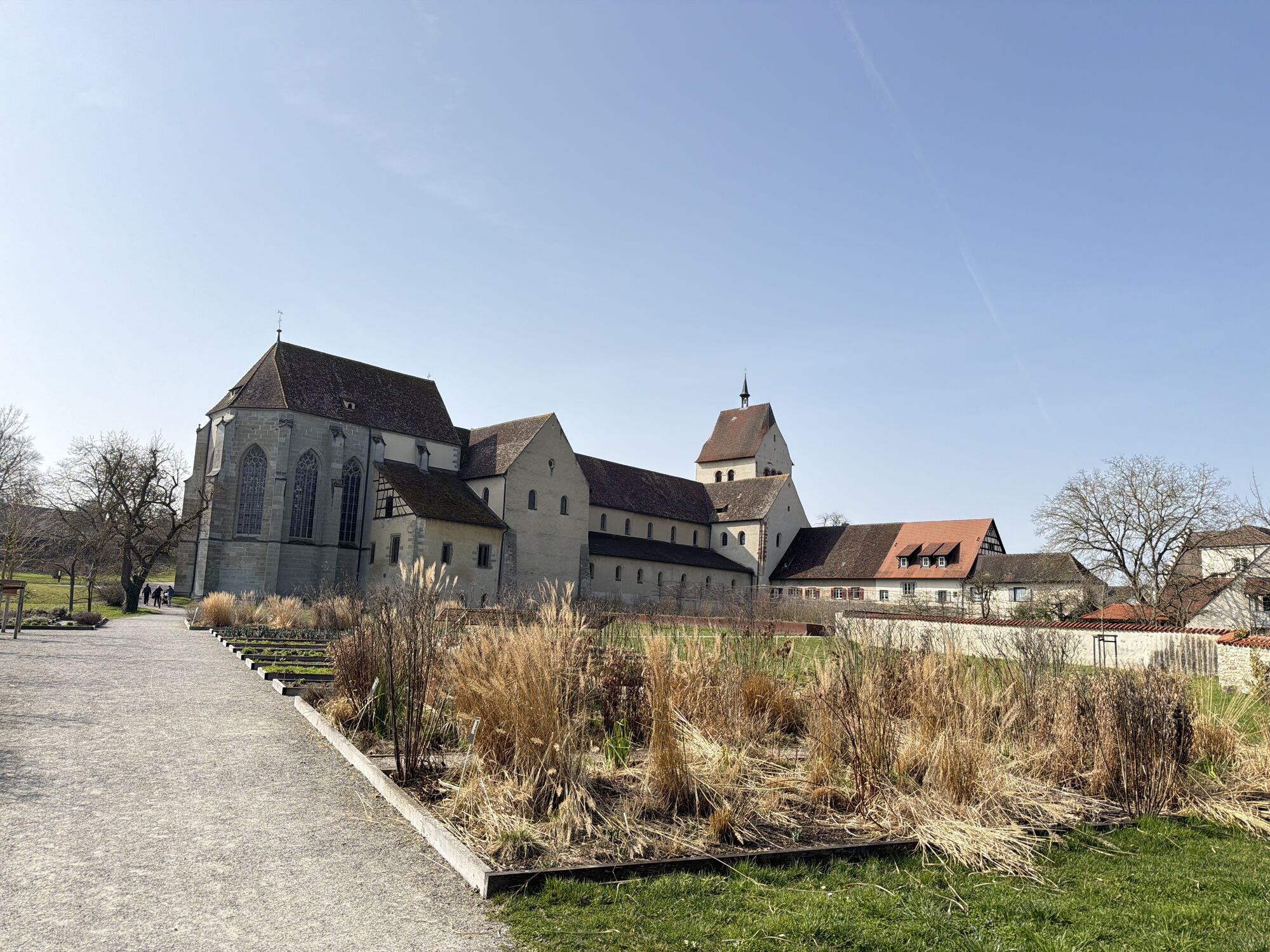
8th point: Reichenau, tourist information: Abbot Bishop Heito

Pot
St. Nikolaus
(403 m)
Kraj čaščenja
0.1 km
Melanchthonkirche
(414 m)
Kraj čaščenja
22.8 km
Stadtkirche
(402 m)
Kraj čaščenja
33.3 km
Katholische Kirche St. Blasius
(407 m)
Kraj čaščenja
39.2 km
Reformierte Kirche
(398 m)
Kraj čaščenja
48.1 km
Schlosskapelle
(457 m)
Kraj čaščenja
52.0 km
St. Maria und Markus
(410 m)
Kraj čaščenja
56.4 km
Pot
Zemljevid
Silhouette route – Discover 1300 years of history by bike & ship
srednja
Kolesarjenje
58.50 km
Allensbach
(421 m)
Vas
0.0 km
St. Nikolaus
(403 m)
Kraj čaščenja
0.1 km
Das untere Kapplerfeld
(406 m)
Koridor/teren
2.1 km
Markelfingen
(405 m)
Vas
5.7 km
Radolfzell am Bodensee
(404 m)
Mesto
9.6 km
Radolfzell
(400 m)
Železniška postaja
9.9 km
Narrenstube Mooser Rettich e.V.
(400 m)
Koridor/teren
13.6 km
Moos
(401 m)
Vas
13.6 km
Altes Feuerwehrhaus
(400 m)
Koridor/teren
13.6 km
Gasthaus Schiff
(399 m)
Restavracija
13.6 km
Tassone
(399 m)
Restavracija
13.6 km
Iznang
(400 m)
Vas
15.8 km
Gasthaus Seehof
(401 m)
Restavracija
15.9 km
Gundholzen
(424 m)
Vas
18.4 km
Horn
(446 m)
Vas
20.4 km
Kapelle St. Mauritius
(428 m)
Kraj čaščenja
22.2 km
Gaienhofen
(418 m)
Vas
22.2 km
Zum Fährmann
(413 m)
Restavracija
22.5 km
Melanchthonkirche
(414 m)
Kraj čaščenja
22.8 km
Pestkapelle
(409 m)
Kraj čaščenja
24.0 km
Zur alten Post
(409 m)
Restavracija
24.0 km
Hemmenhofen
(401 m)
Vas
24.2 km
Landgasthof Kellhof
(410 m)
Restavracija
24.4 km
Marbach
(451 m)
Poravnava
25.5 km
Wangen
(412 m)
Vas
27.7 km
St. Blasius
(404 m)
Kraj čaščenja
29.2 km
Kattenhorn
(406 m)
Poravnava
29.3 km
Stiegen
(402 m)
Poravnava
31.2 km
Stadtkirche
(402 m)
Kraj čaščenja
33.3 km
Stein am Rhein
(413 m)
Vas
33.3 km
Eschenz
(411 m)
Vas
35.5 km
Bahnhof
(418 m)
Restavracija
35.9 km
Eschenz
(417 m)
Železniška postaja
35.9 km
Im Fennenbach
(401 m)
Poravnava
36.9 km
Mammern
(412 m)
Železniška postaja
38.8 km
Reformierte Kirche Mammern
(412 m)
Kraj čaščenja
39.0 km
Mammern
(406 m)
Vas
39.1 km
Katholische Kirche St. Blasius
(407 m)
Kraj čaščenja
39.2 km
Friedberg
(444 m)
Poravnava
39.9 km
Freienstein
(438 m)
Poravnava
40.3 km
Seewiesen
(408 m)
Koridor/teren
41.2 km
Rollirain
(456 m)
Poravnava
41.4 km
Spannacker
(405 m)
Poravnava
41.6 km
Glarisegg
(406 m)
Poravnava
42.9 km
Lido
(401 m)
Restavracija
43.4 km
Steckborn
(402 m)
Vas
45.0 km
Jochental
(443 m)
Poravnava
46.4 km
Reformierte Kirche
(398 m)
Kraj čaščenja
48.1 km
Hirschen
(397 m)
Restavracija
48.2 km
Schiff
(397 m)
Restavracija
48.3 km
Berlingen (See)
(403 m)
Pristanišče za trajekte
48.3 km
Berlingen
(399 m)
Vas
48.3 km
Seestern
(398 m)
Restavracija
49.4 km
Almänd
(397 m)
Koridor/teren
50.6 km
Unterdorf
(399 m)
Soseska
50.8 km
Oberdorf
(404 m)
Soseska
51.0 km
Seehotel Schiff
(399 m)
Restavracija
51.1 km
Pizzeria Lago Mio
(400 m)
Restavracija
51.2 km
Mannenbach-Salenstein
(412 m)
Vas
51.4 km
Jüch
(424 m)
Soseska
51.4 km
Süesswinkel
(440 m)
Soseska
51.5 km
Untersalenstein
(432 m)
Poravnava
51.5 km
Salenstein
(495 m)
Vas
51.9 km
Arenenberg
(459 m)
Poravnava
51.9 km
Schlosskapelle
(457 m)
Kraj čaščenja
52.0 km
Tunnelgrotte
(443 m)
Vhod v jamo
52.0 km
Chnebel
(408 m)
Soseska
52.6 km
Mannenbach-Salenstein
(400 m)
Železniška postaja
52.7 km
Reichenau
(400 m)
Pristanišče za trajekte
54.2 km
Solarfähre Reichenau
(395 m)
Pristanišče za trajekte
54.2 km
Mittelzell
(412 m)
Soseska
55.8 km
Reichenau
(410 m)
Vas
55.9 km
St. Maria und Markus
(410 m)
Kraj čaščenja
56.4 km
St. Methodios und Kyrillos
(399 m)
Kraj čaščenja
56.6 km
Kyrillos und Methodios Ikonostase
(399 m)
Kraj čaščenja
56.6 km
Reichenau
(394 m)
Pristanišče za trajekte
56.8 km
Schiffsanlagestelle Baumann
(395 m)
Pristanišče za trajekte
58.3 km
Allensbach
(421 m)
Vas
58.4 km
Informacije o turneji

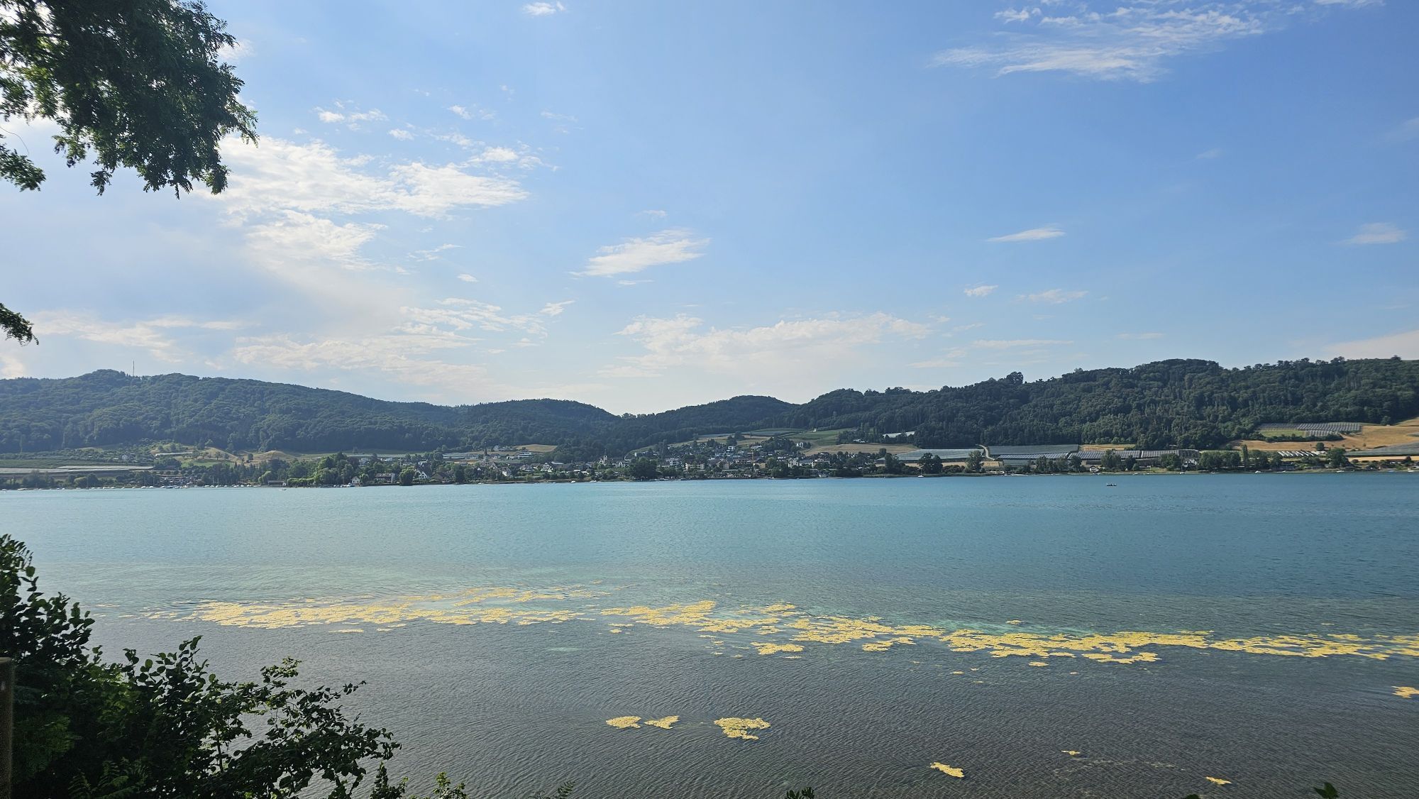
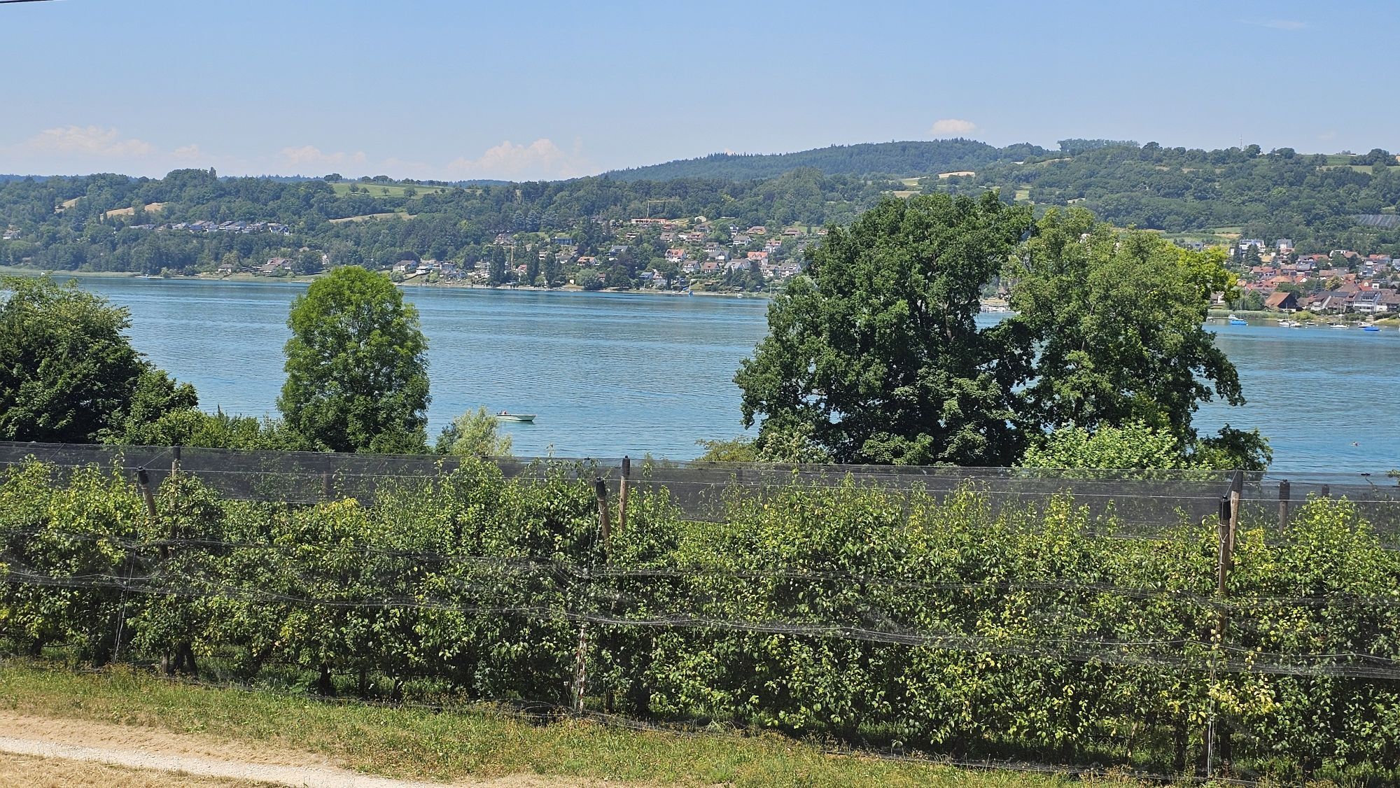
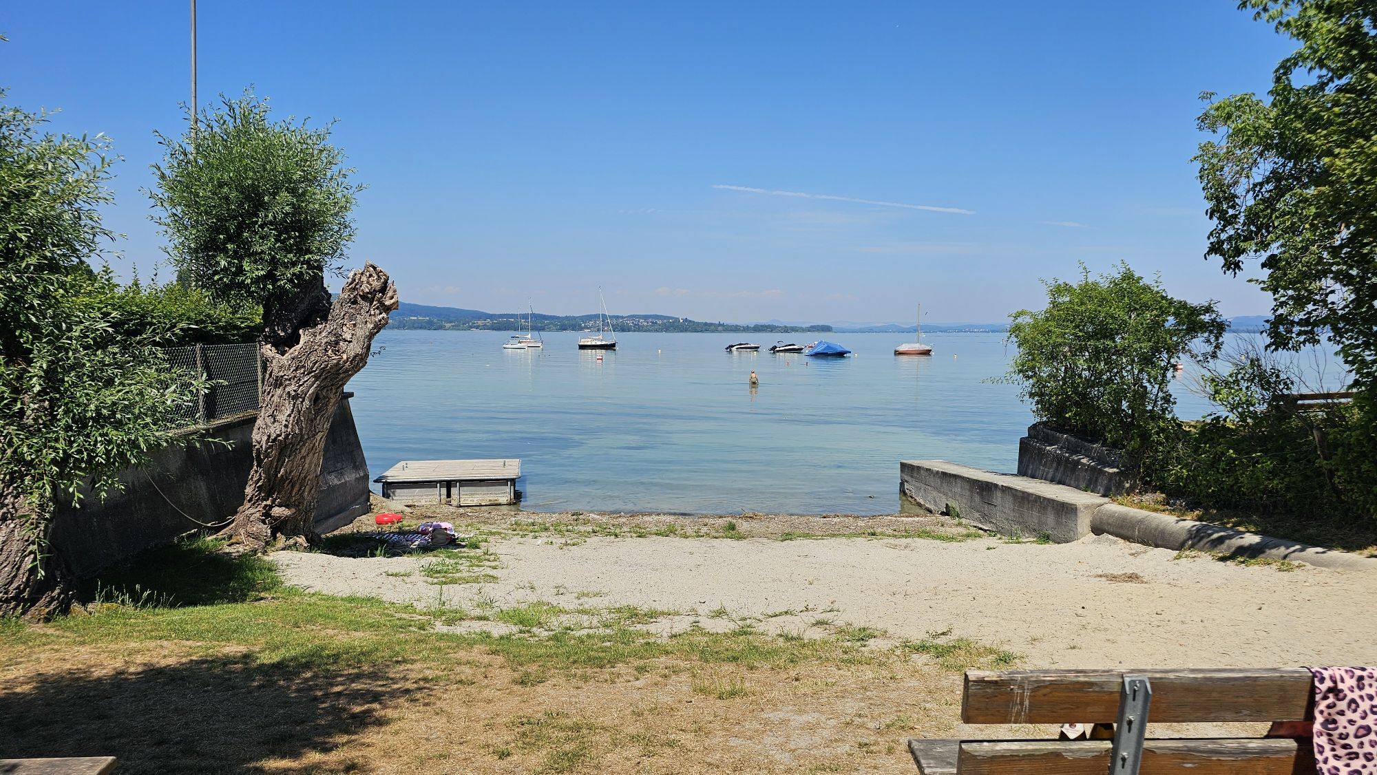
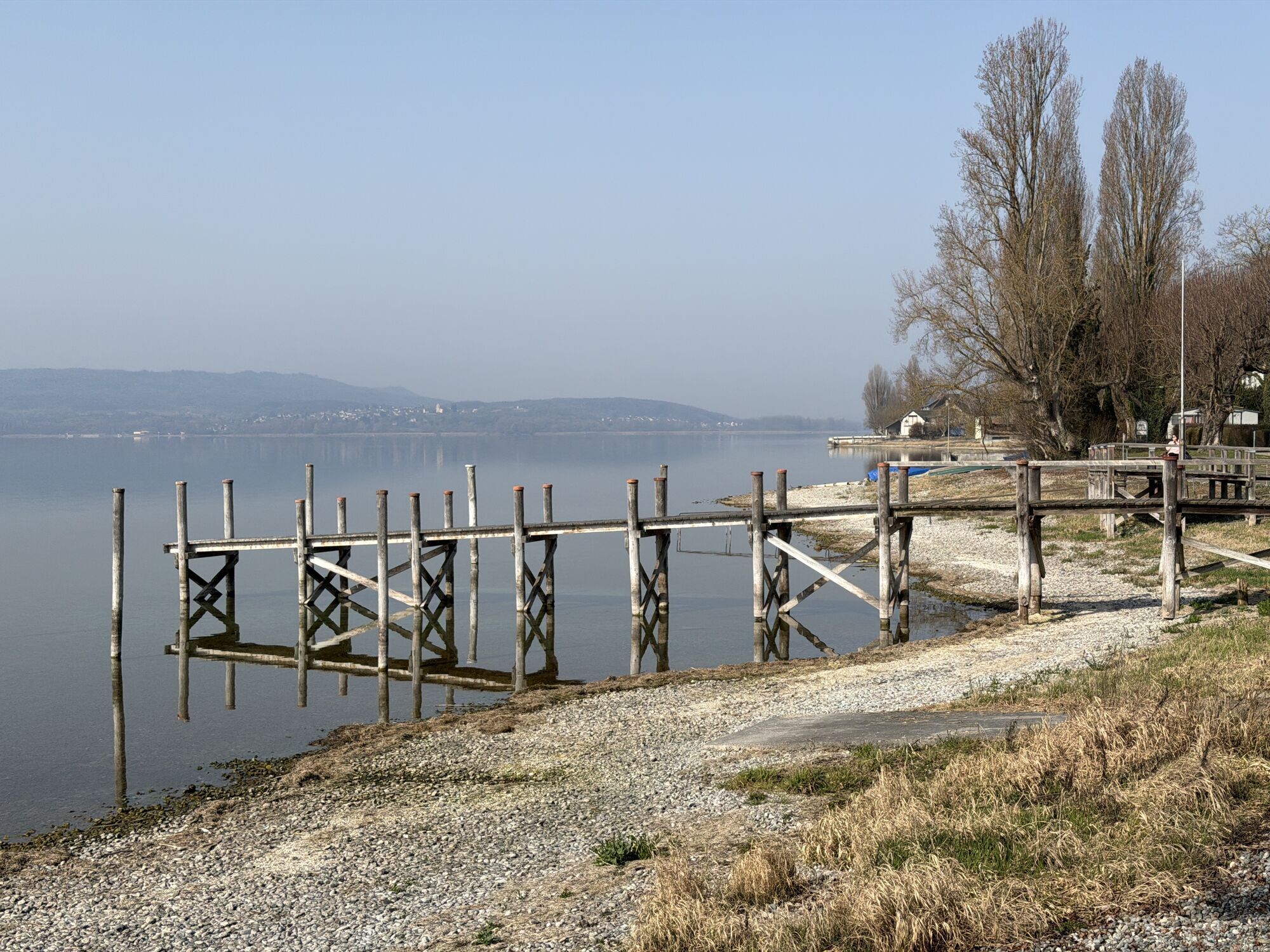
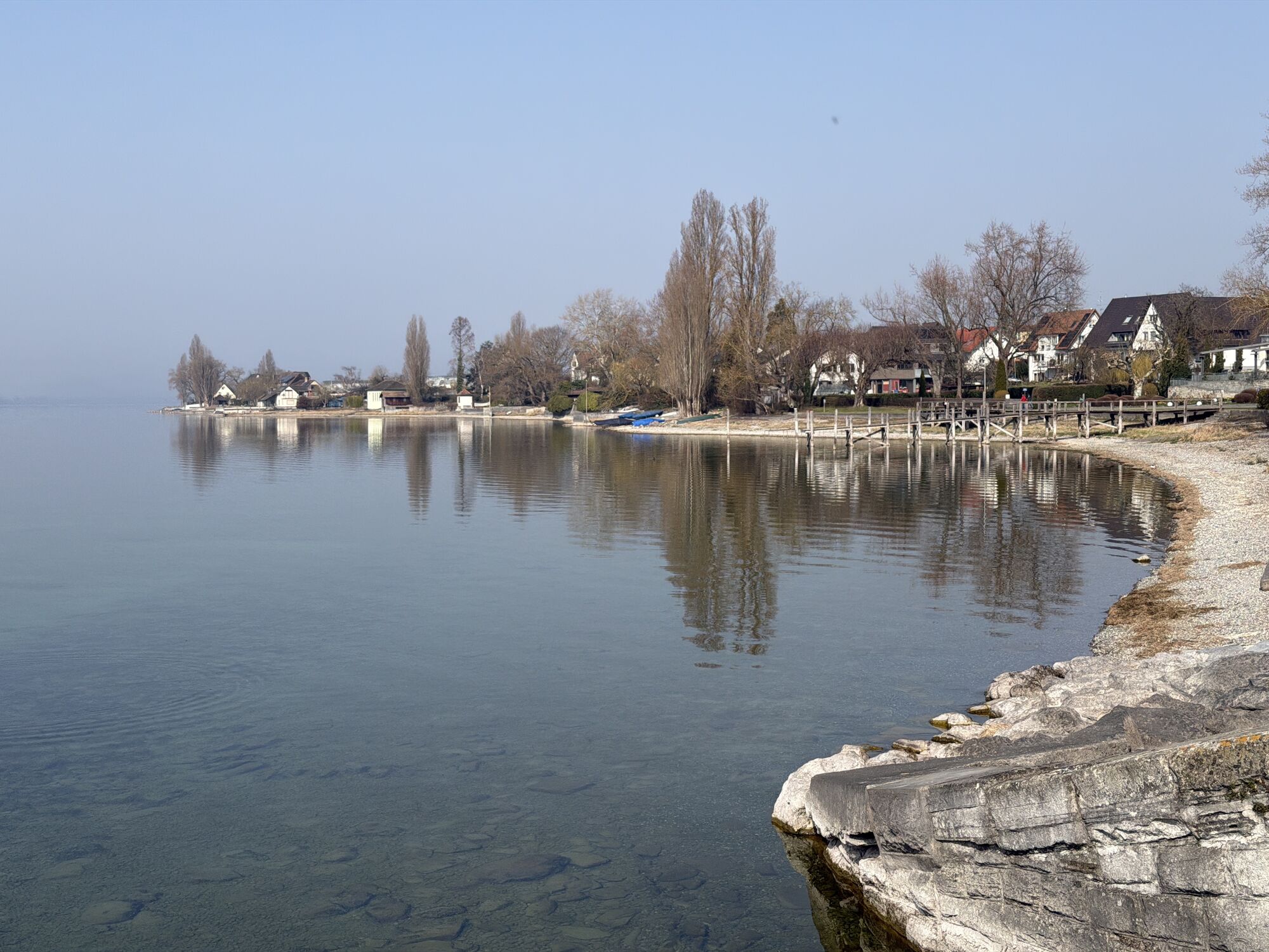
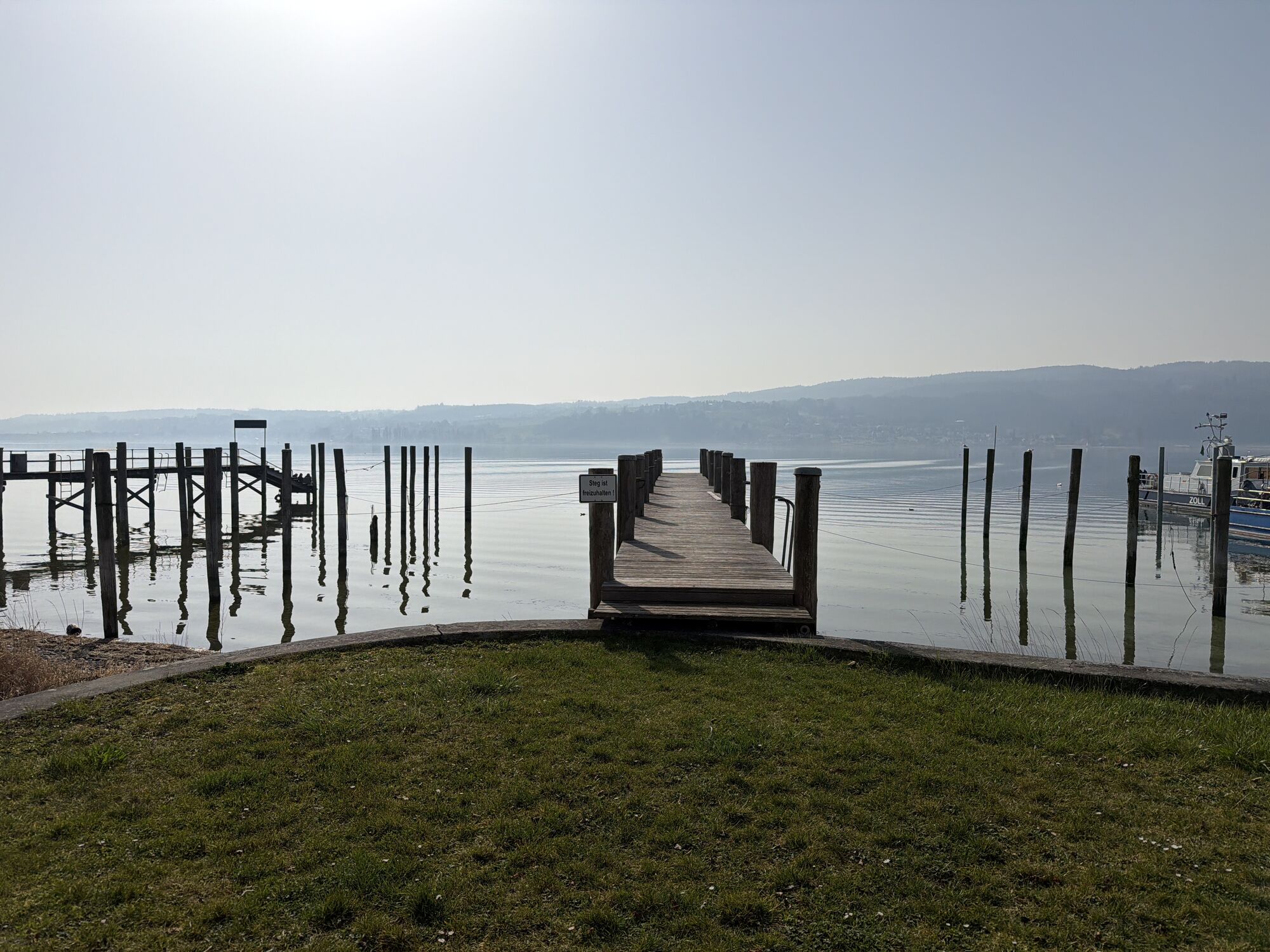
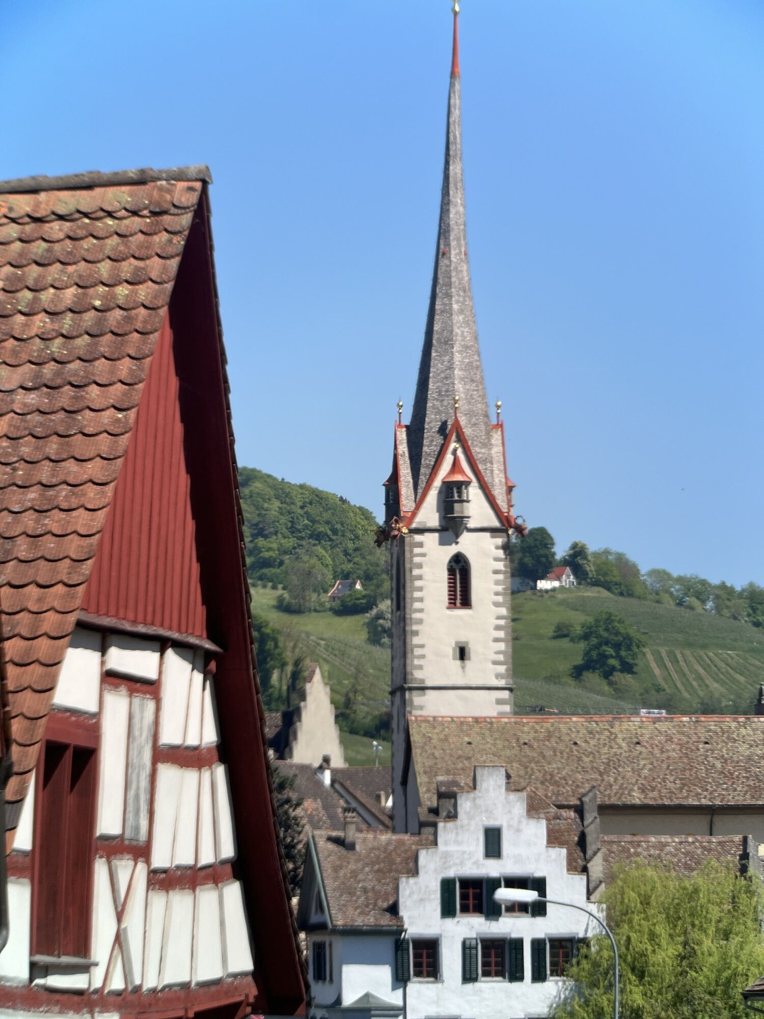
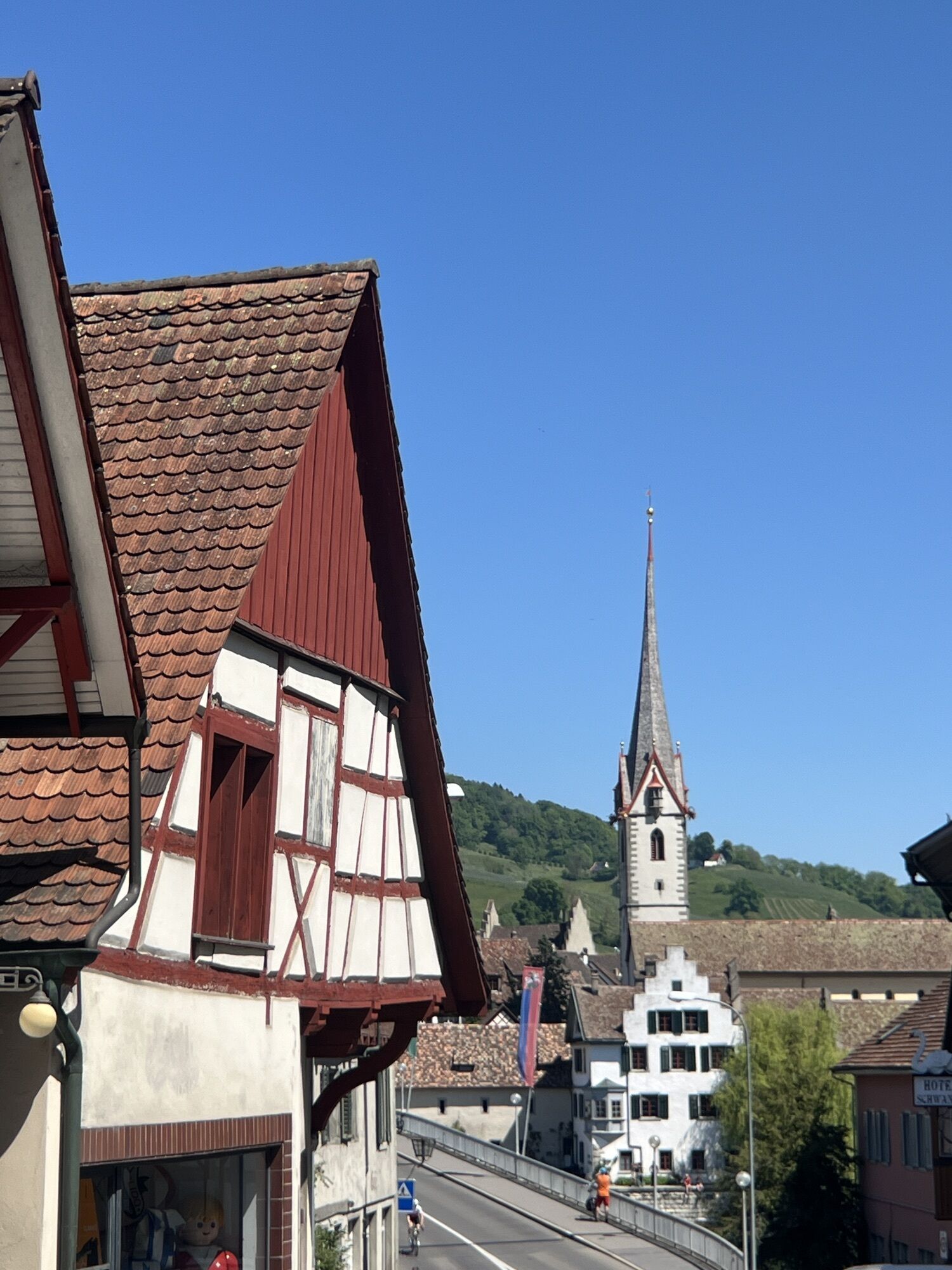
On a bike route and by ship, visit the various steles around the Untersee and immerse yourself in a world from 1300 years ago. 

Tehnologija
4 / 6
Stanje
4 / 6
Pokrajina
6 / 6
Izkušnje
6 / 6
Najboljši letni čas
Jan
Feb
Mar
Apr
Maj
Jun
Jul
Avg
Sep
Okt
Nov
Dec
Skupna turneja
Zemljevid
Silhouette route – Discover 1300 years of history by bike & ship
srednja
Kolesarjenje
58.50 km
Napaka
Zgodila se je napaka. Prosimo, poskusite znova.
Informacije o poti
Pot

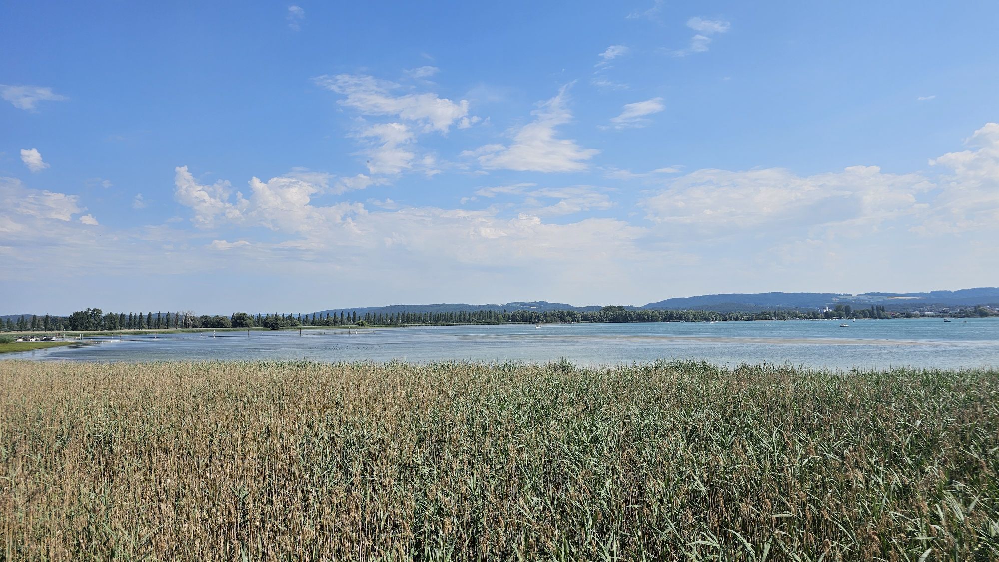
The start of the bike route is the stele of the ferryman Konrad Stader at the landing place in Allensbach.  From there, the route begins northwest along the lake towards Radolfzell. The Bodensee cycling route takes you to Markelfingen. Here at the Narrenbrunnen is the fisherman Uli Judan.

The path leads you along the Markelfinger Winkel to Radolfzell. Past the concert shell, along the lake, the Stadtgarten opens up, where Bishop Ratoldus tells about his connection to Reichenau.

Continuing on the Bodensee cycling route, the tour goes through Moos to the district of Iznang, where you are welcomed by a farmer's wife from 1530.

For the next historical point, cycle about 6 km along the lake, past Gundelholzen and Horn to Gaienhofen. At the ship dock stands Prior Johann Ego. (TIP: To shorten the route, you can take the Lang shipping service from Gaienhofen from May to September at 10:15 am, 2:15 pm, or 3:45 pm to Berlingen; cash only).

Via Wangen, the route leads to Stein am Rhein. Here you change shores and cycle further through Eschenz, Mammern, Steckborn, and finally to Berlingen. There at the harbor is wine farmer Silvana, who shares some interesting information about her life.

To reach the penultimate silhouette at Arenberg Castle in Salenstein, cycle past the railway station in Unterdorf and follow Arenbergstraße. At the Napoleon Museum, Prince Louis Napoleon takes you into the 19th century.

Back in Mannenbach, the solar ferry (May to September until 4:50 pm, only in good weather) takes you to Reichenau. Alternatively, you can use the URH shipping service (12:27 pm, 4:35 pm, 6:35 pm and 2:27 pm on Sundays and public holidays). On the island, at the tourist information, you find Abbot Bishop Heito. (TIP: Visit the Reichenau Museum) The Baumann shipping service takes you back to Allensbach hourly until 5:15 pm (until 6:15 pm in July and August).

Alternative without shipping: cycle to Konstanz and take the SBB 6 back to Allensbach free of charge with your BODENSEECARDWEST.

Informacije o prihodu
Javni prevoz

The train station in Allensbach is located right in the center. From here, it is a two-minute bike ride to the start of the route.

Trains run several times an hour.

Parkirišče

Parking spaces directly at the station.

Dodatne informacije in nasveti
Stopnja težavnosti

4

Dodatne informacije

More routes with silhouettes at: www.bodenseewest.eu/touren

Še ni pregledov
Napišite pregled

Mnenja pomagajo drugim uporabnikom pri izbiri naslednje pustolovščine. Ocenite samo izlet, ne pa tudi vremena ali prigrizka.

Izberite eno od zvezdic, da ocenite ogled
Slaba turneja
Šibka turneja
Povprečna turneja
Dobra tura
Odlična tura
bergfex logo Pridobite vpogled Vedno v živo na mestu z več kot 9.500 spletnimi kamerami. bergfex Kot uporabnik Pro si lahko zdaj ogledate ustrezne spletne kamere za številne izlete v aplikaciji izleti iz. Tako si lahko neposredno ogledate trenutne razmere.
Pohodništvo in sledenje

Pohodništvo in sledenje

Pohodništvo in sledenje
Zaradi več kot 550.000 predlogov izletov, podrobnih zemljevidov in intuitivnega načrtovanja poti je aplikacija obvezna oprema za vse ljubitelje narave.
bergfex