







From Löffingen via Friedenweiler to lake Kirnbergsee
Stopnja težavnosti: 2


The medium-difficulty cycle tour starts in the center of Löffingen. From there, the tour leads through the various districts of Löffingen to Friedenweiler. From Friedenweiler, the route continues through...
The medium-difficulty cycle tour starts in the center of Löffingen. From there, the tour leads through the various districts of Löffingen to Friedenweiler. From Friedenweiler, the route continues through the forest to the Kirnbergsee lake. If the weather is good, you can take a short refreshment break there. After reaching the Kirnbergsee, the trail returns to the center of Löffingen.

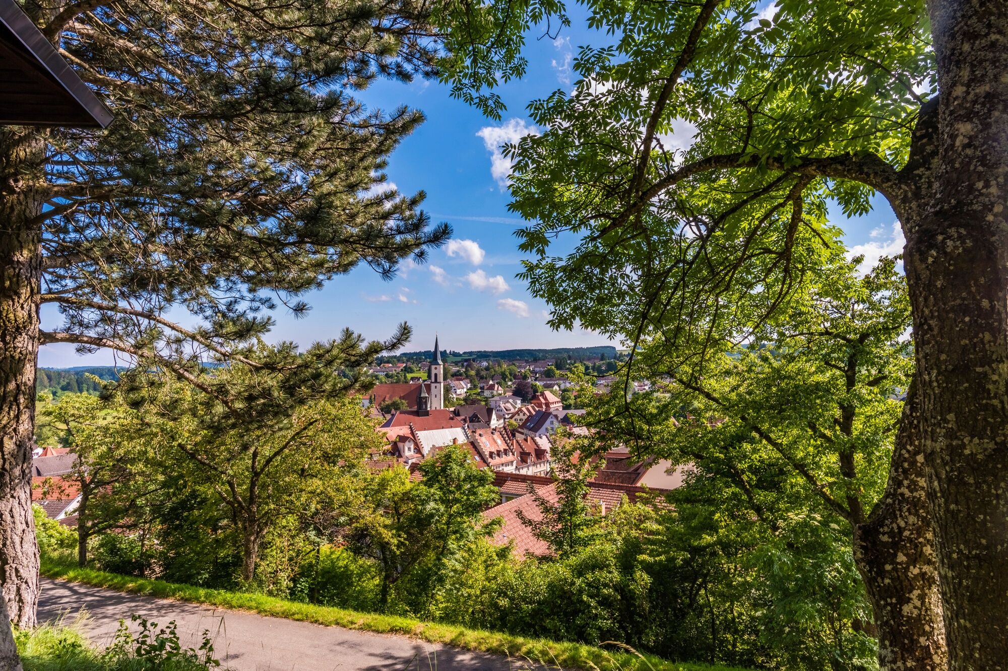
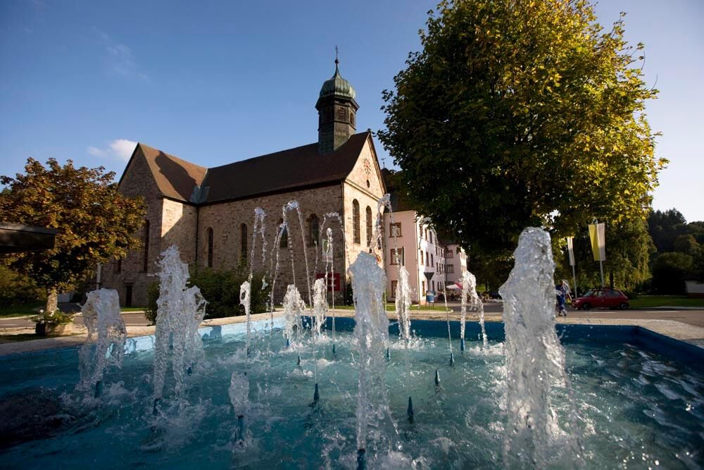
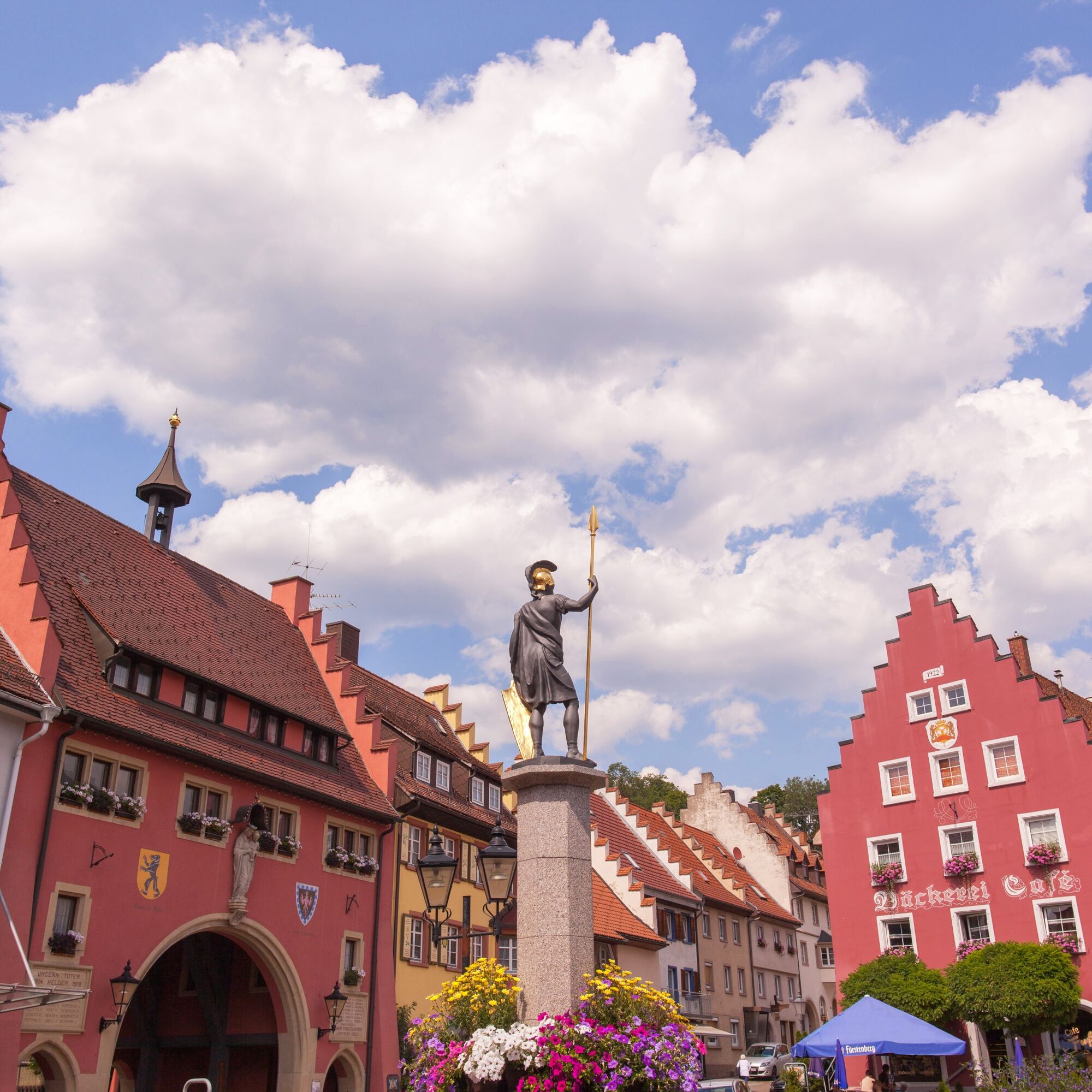
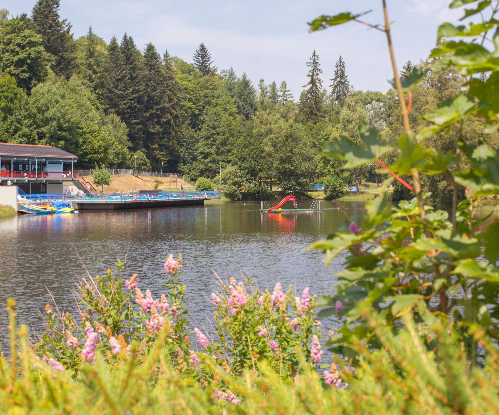
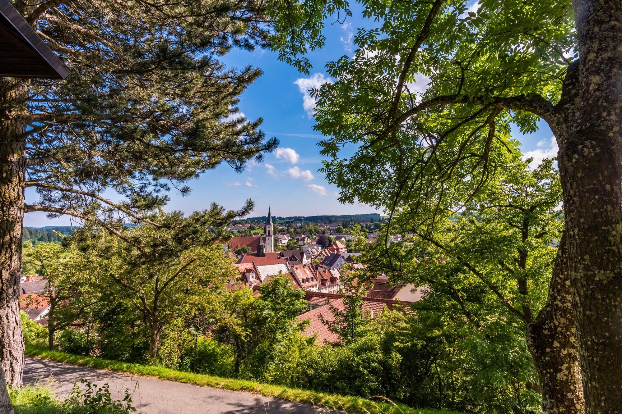
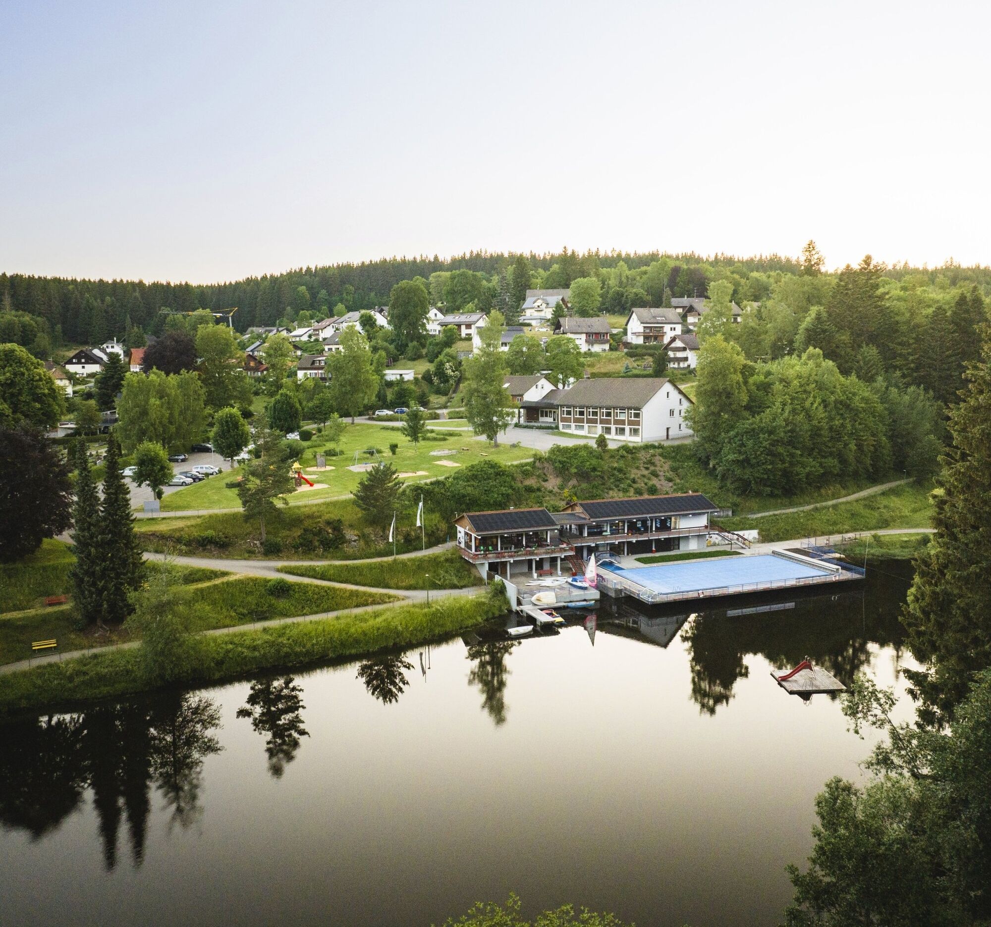
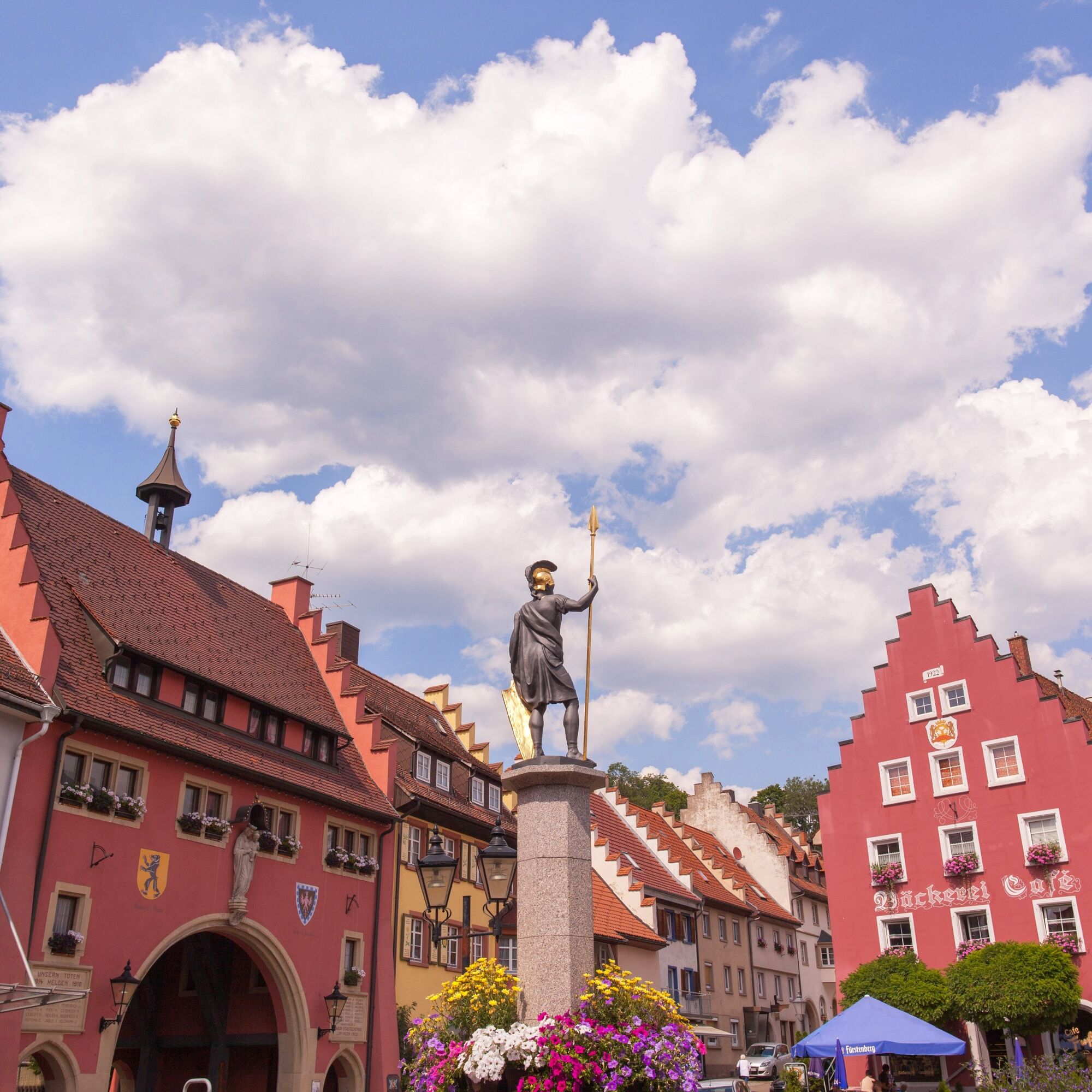

From Löffingen, your tour takes you across the plateau to Reiselfingen. Here you have a beautiful view over the Wutach Gorge, the Black Forest Highlands and the Swiss Alps. The route continues to Göschweiler and then across the forest to Rötenbach. From here, continue to Friedenweiler. Here it is worth making a short stop at the former monastery and taking a cool dip in the nearby bathing lake.
The tour continues to Eisenbach to the highest point of your route (sports ground). The route continues downhill through the forest to the idyllic Black Forest village of Bubenbach. On the way to Oberbränd, you will have to pedal hard once again, but you will be rewarded with a fantastic panorama. You reach Unterbränd through the forest, where you can take the opportunity for a short break at the Kirnbergsee lake before continuing on to Dittishausen. From here, you cycle downhill to the Tatzmania Zoo and Leisure Park and Löffinger Waldbad. The last ascent is rewarded with a view of the Schneekreuz pilgrimage church. From here it is another two kilometres to the centre of Löffingen and you have reached your starting point again.
Da
2
The Klostersee is known for its soft water and swimming has been a tradition here for over a hundred years. Probably the most refreshing way to immerse yourself in the customs of the region.
Spletne kamere s turneje
Pridobite vpogled
Vedno v živo na mestu z več kot 9.500 spletnimi kamerami. bergfex Kot uporabnik Pro si lahko zdaj ogledate ustrezne spletne kamere za številne izlete v aplikaciji izleti iz. Tako si lahko neposredno ogledate trenutne razmere.
Priljubljeni izleti v okolici
-
4.7
Black Forest Highlands heritage trail - mills and saws in the gorge
srednjaPohodništvo 7.42 km -
3.9
Seerundweg Titisee
svetlobaPohodništvo 5.84 km -
4.2
Höhenklimaweg Titisee-Rundweg
srednjaPohodništvo 7.44 km -
4.7
Wutachschlucht Rundwanderung im Süd Schwarzwald
srednjaPohodništvo 9.76 km -
3.9
From Titisee to the Hochfirst with its stunning views
srednjaPohodništvo 10.6 km -
3.8
Premium Hiking Trail- Säbelthomaweg
srednjaTematska pot 11.3 km -
4.2
Ravennaschlucht
Pohodništvo 6.90 km -
4.7
Premium Hiking Trail - Rötenbach Gorge
srednjaTematska pot 10.1 km -
5.0
Wutachschlucht+Lotenbachklamm
svetlobaPohodništvo 10.0 km -
4.3
The Mystical Path to Mathisleweiher
srednjaPohodništvo 8.94 km
Pohodništvo in sledenje


Ne zamudite ponudb in navdiha za naslednje počitnice
Vaš e-poštni naslov je bil dodan na poštni seznam.





