







Baiersbronn T8 Steep Slopes route - Shortcut Höllrain-Höll
Stopnja težavnosti: S3
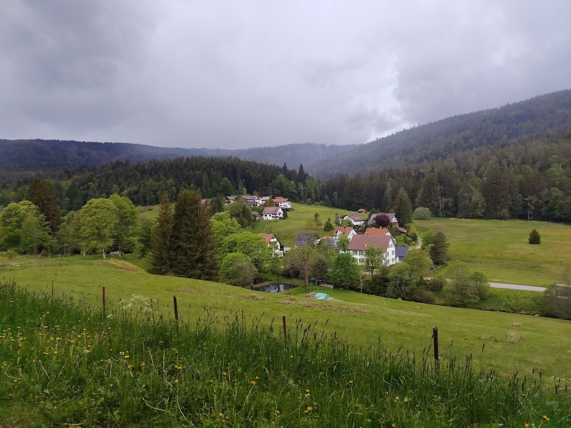

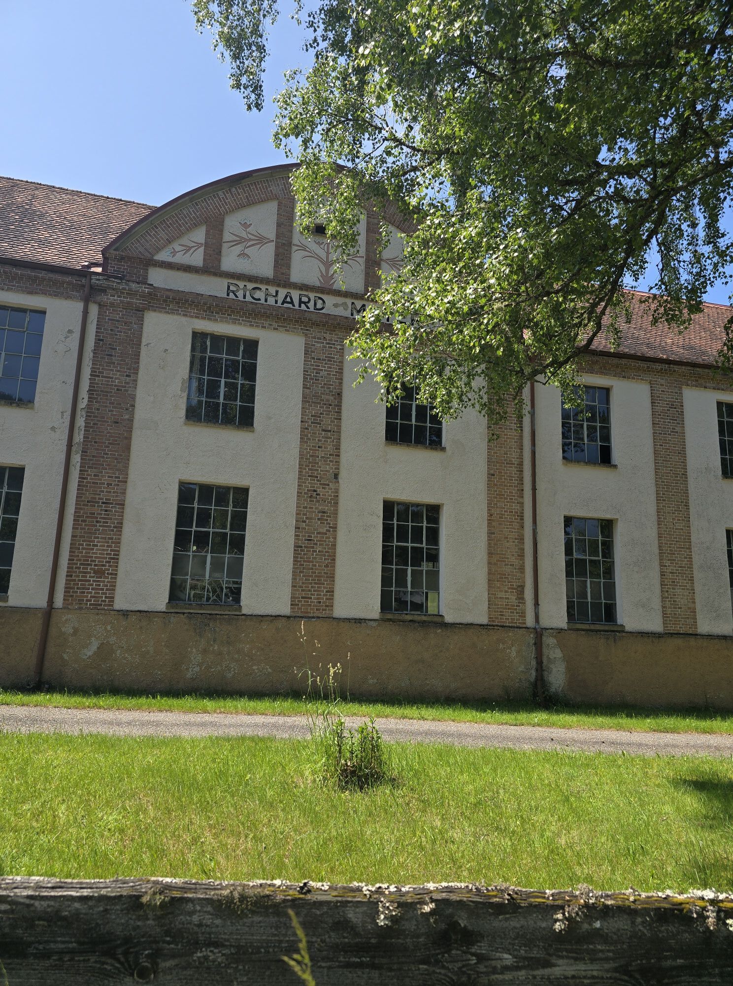
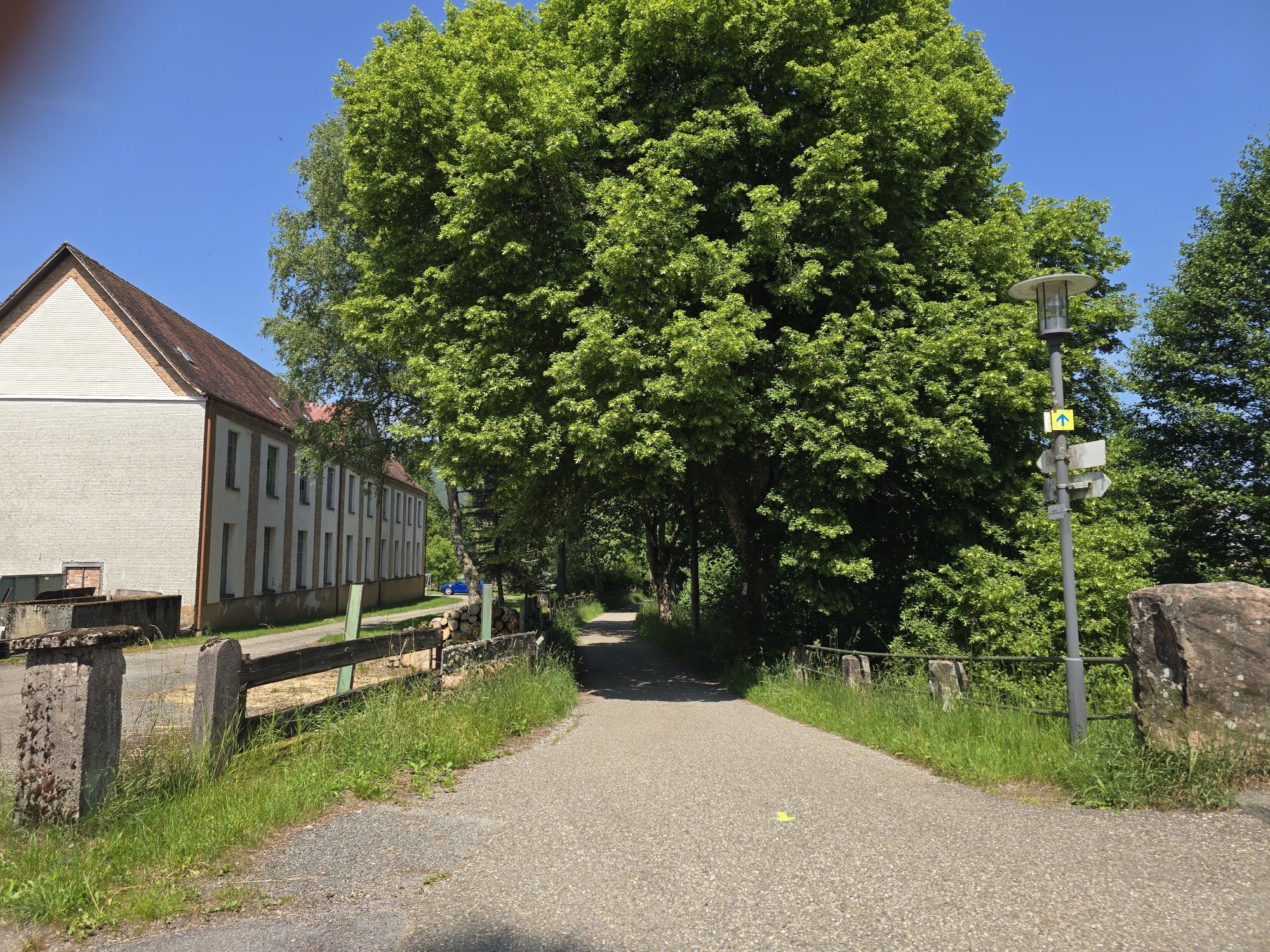
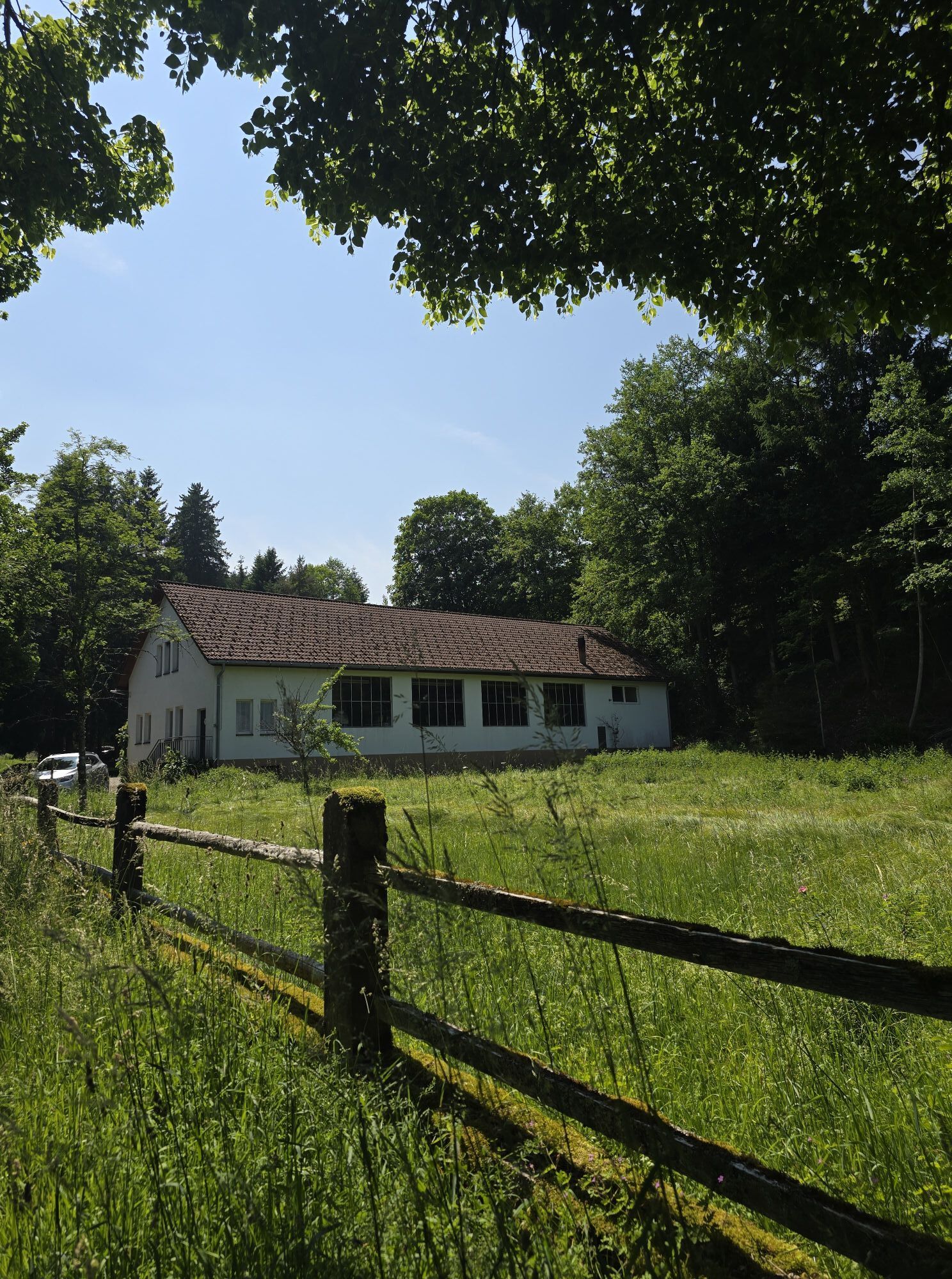
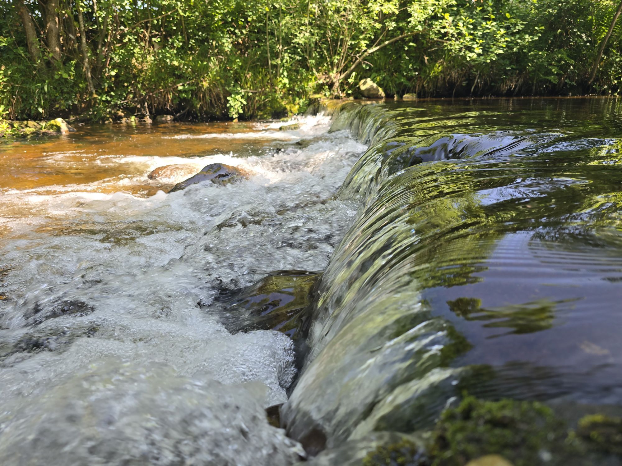
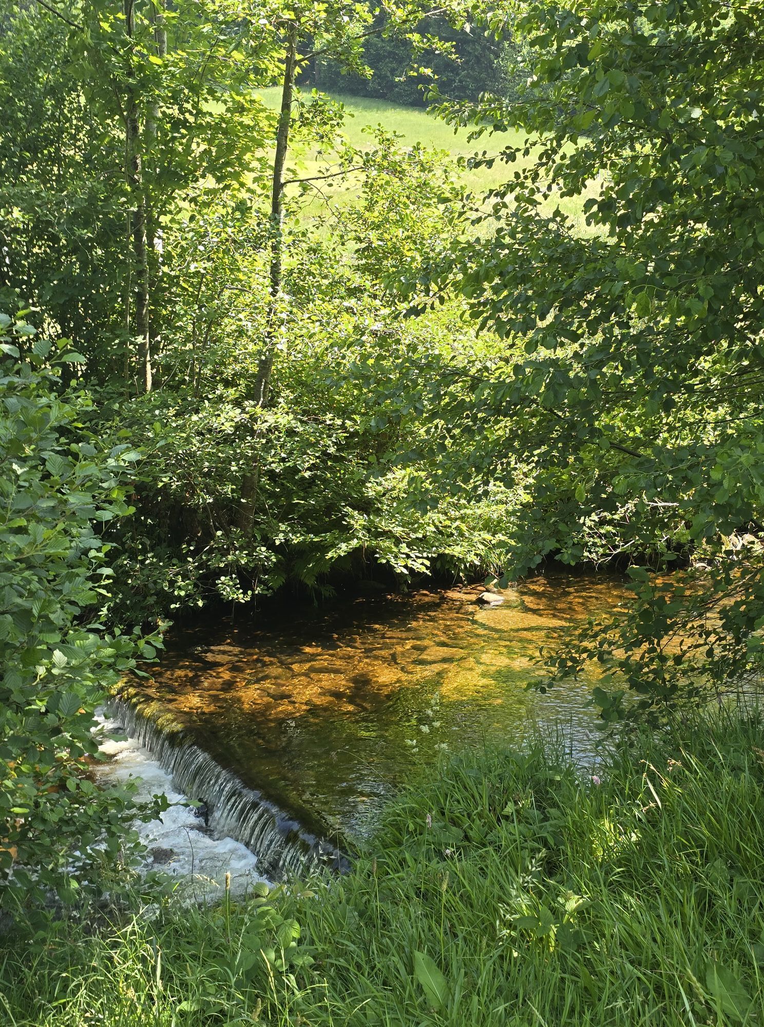
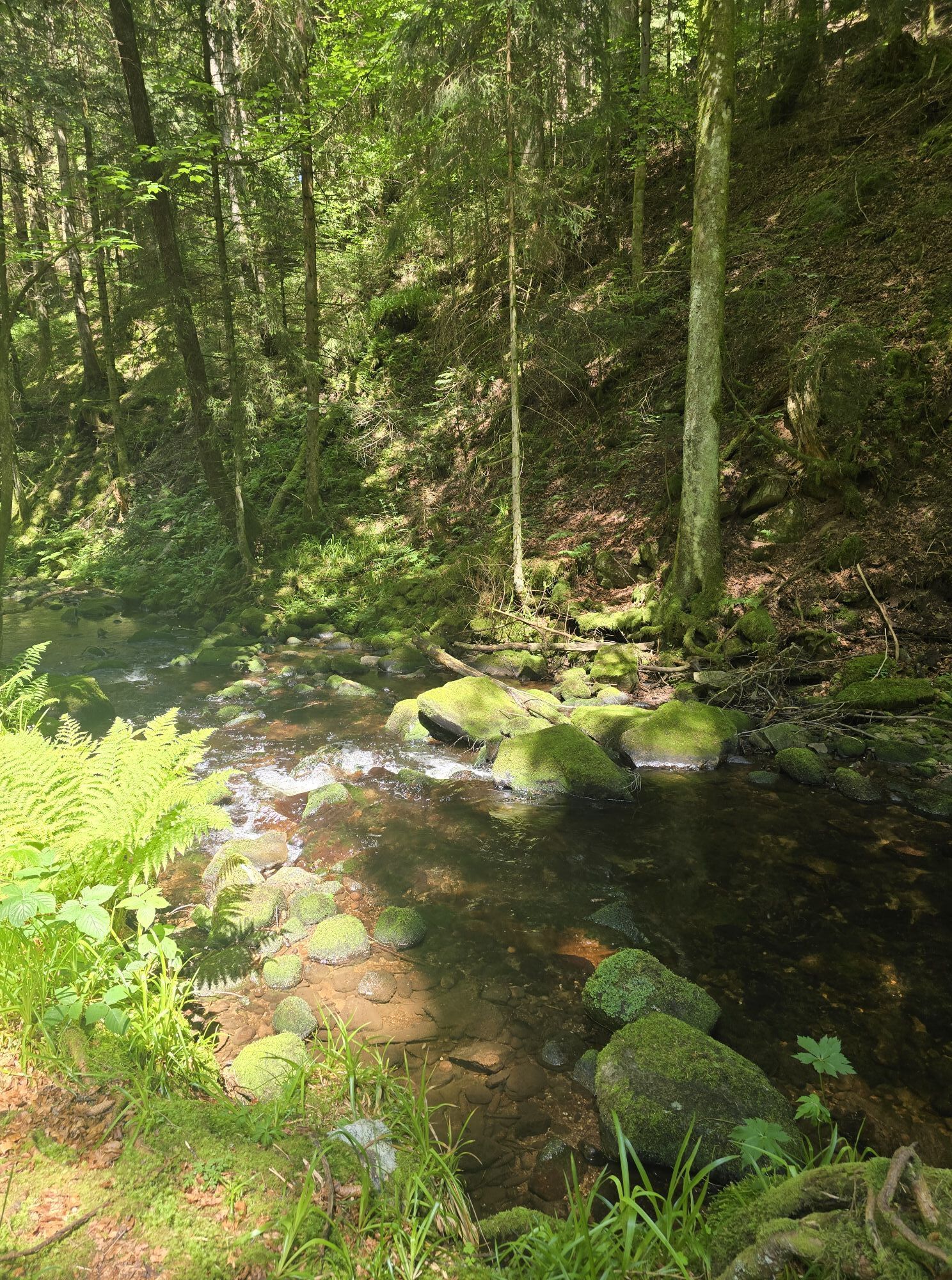
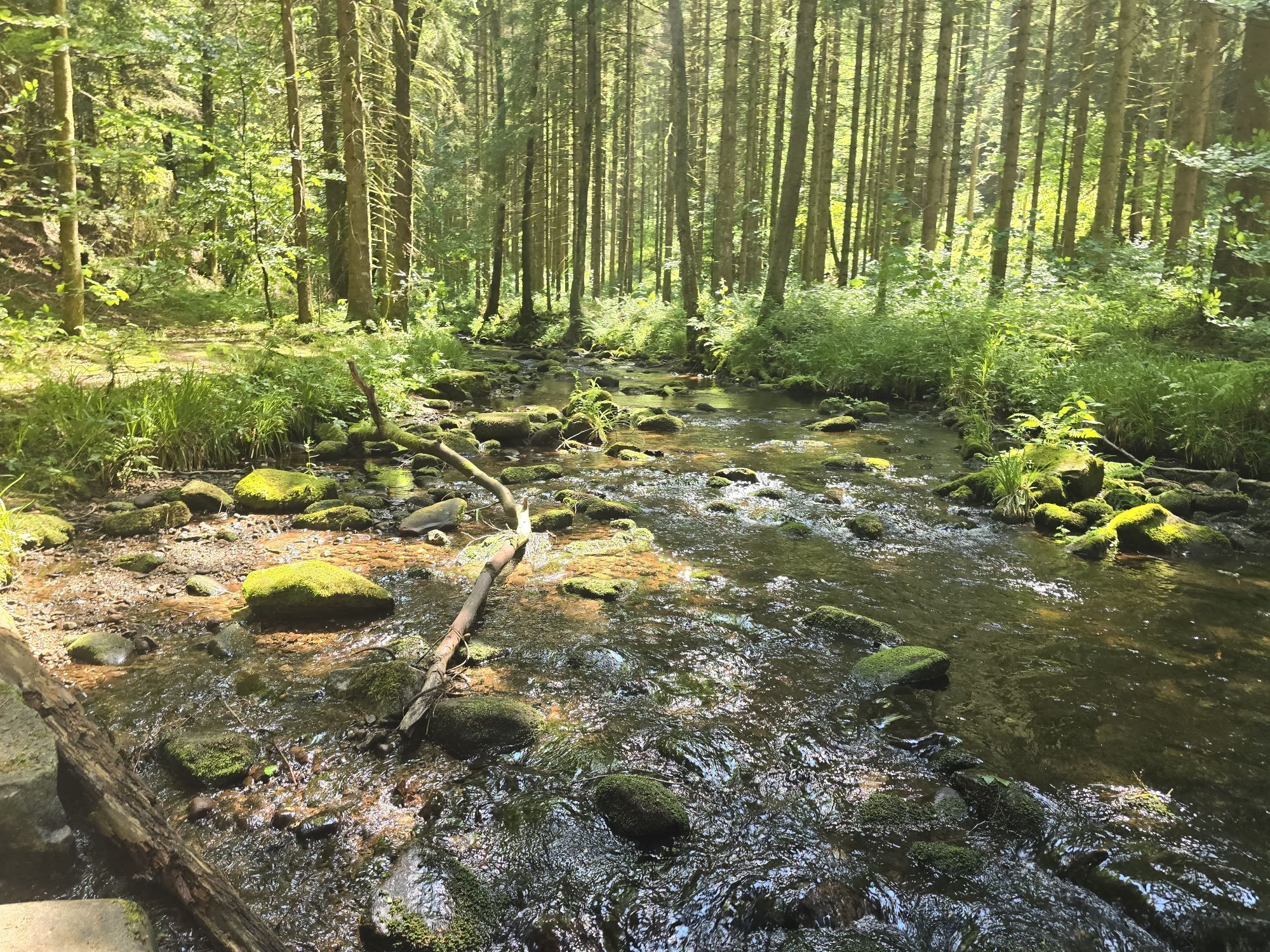
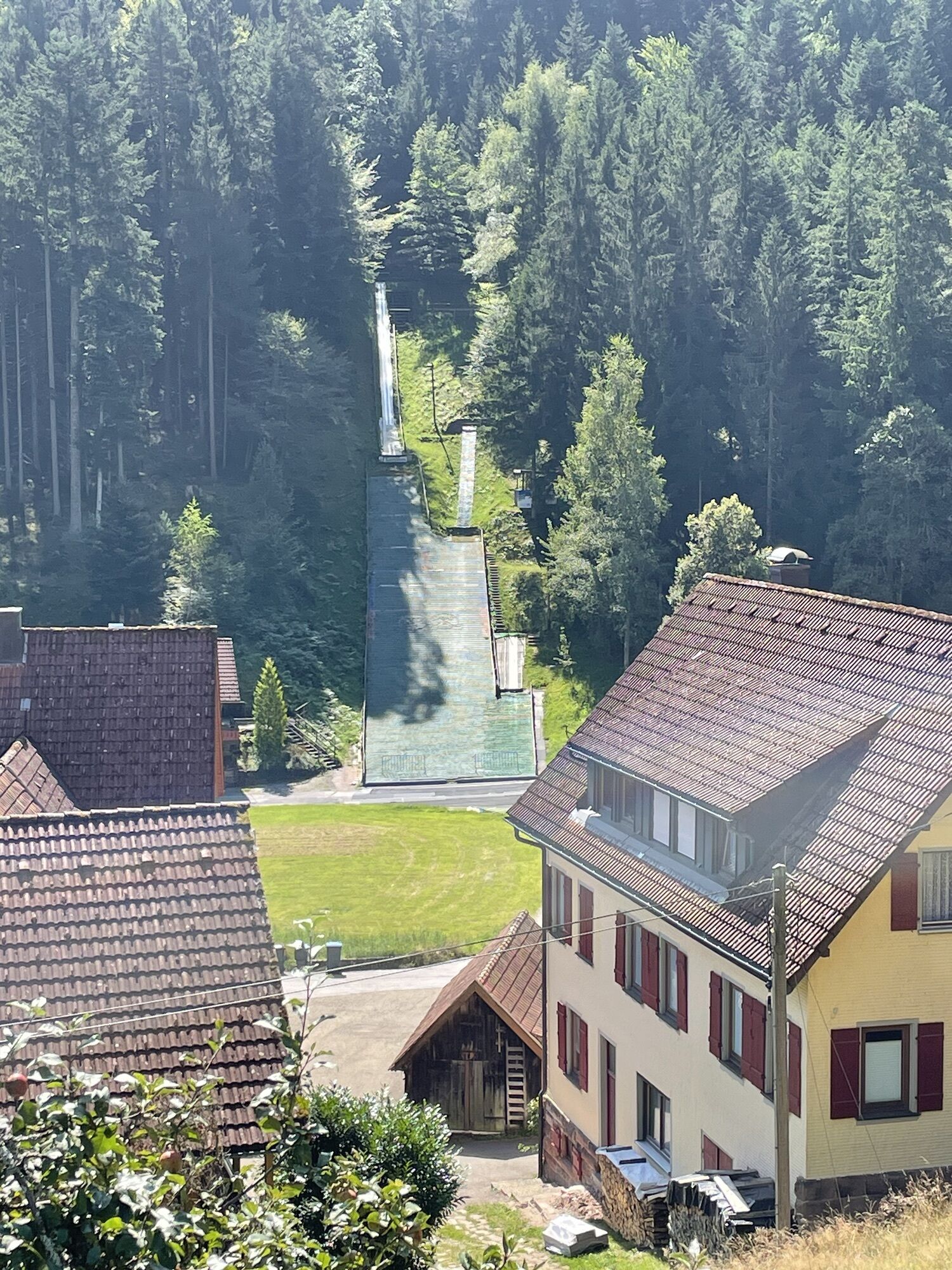
Lightly shortened king’s route in Baiersbronn, which demands everything from the biker uphill and downhill. The route leads continuously up and down to the northern and southern sides of the Murg valley.

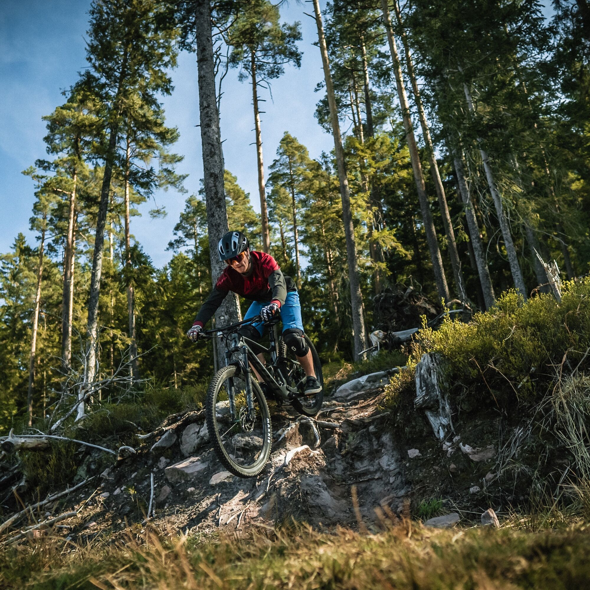
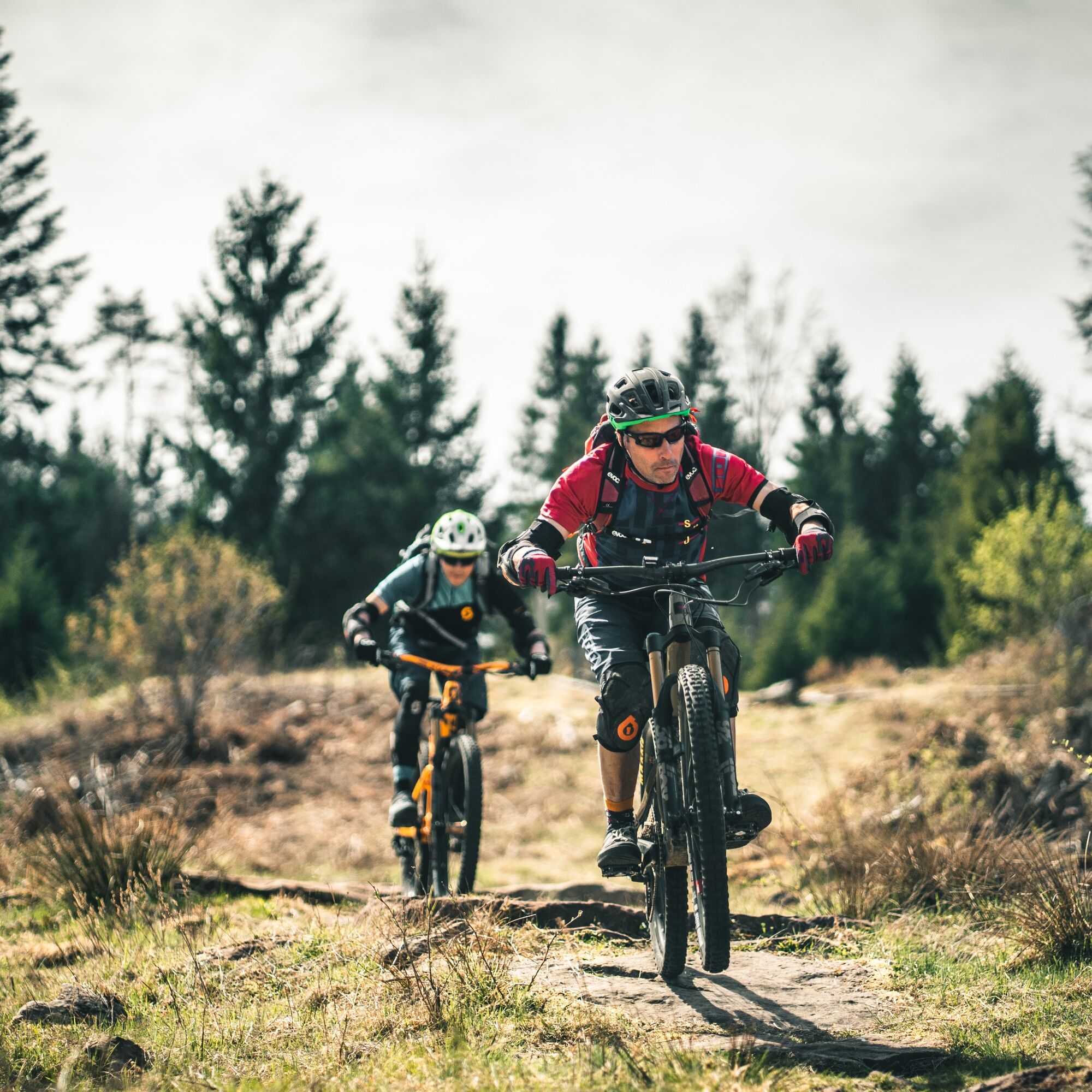
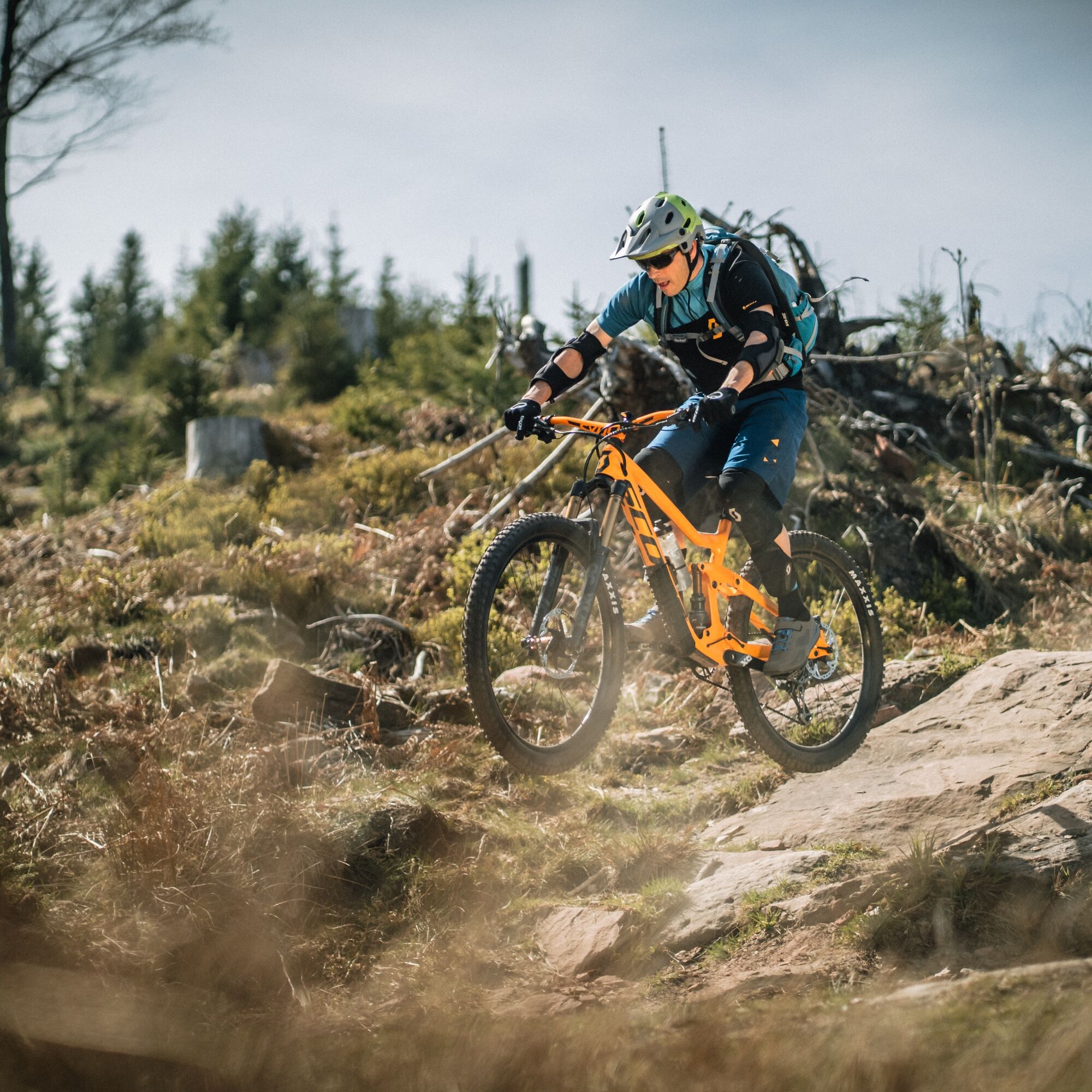
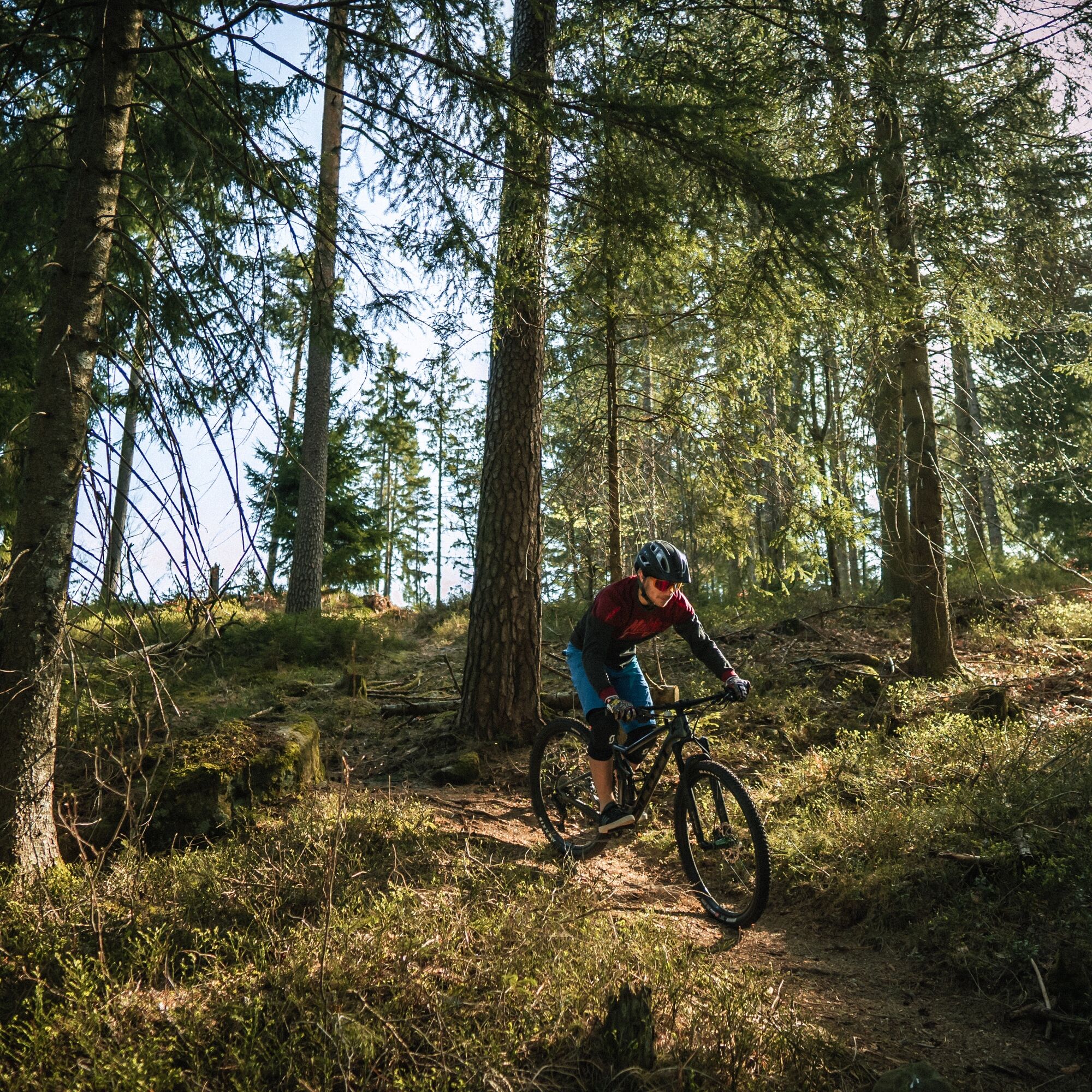
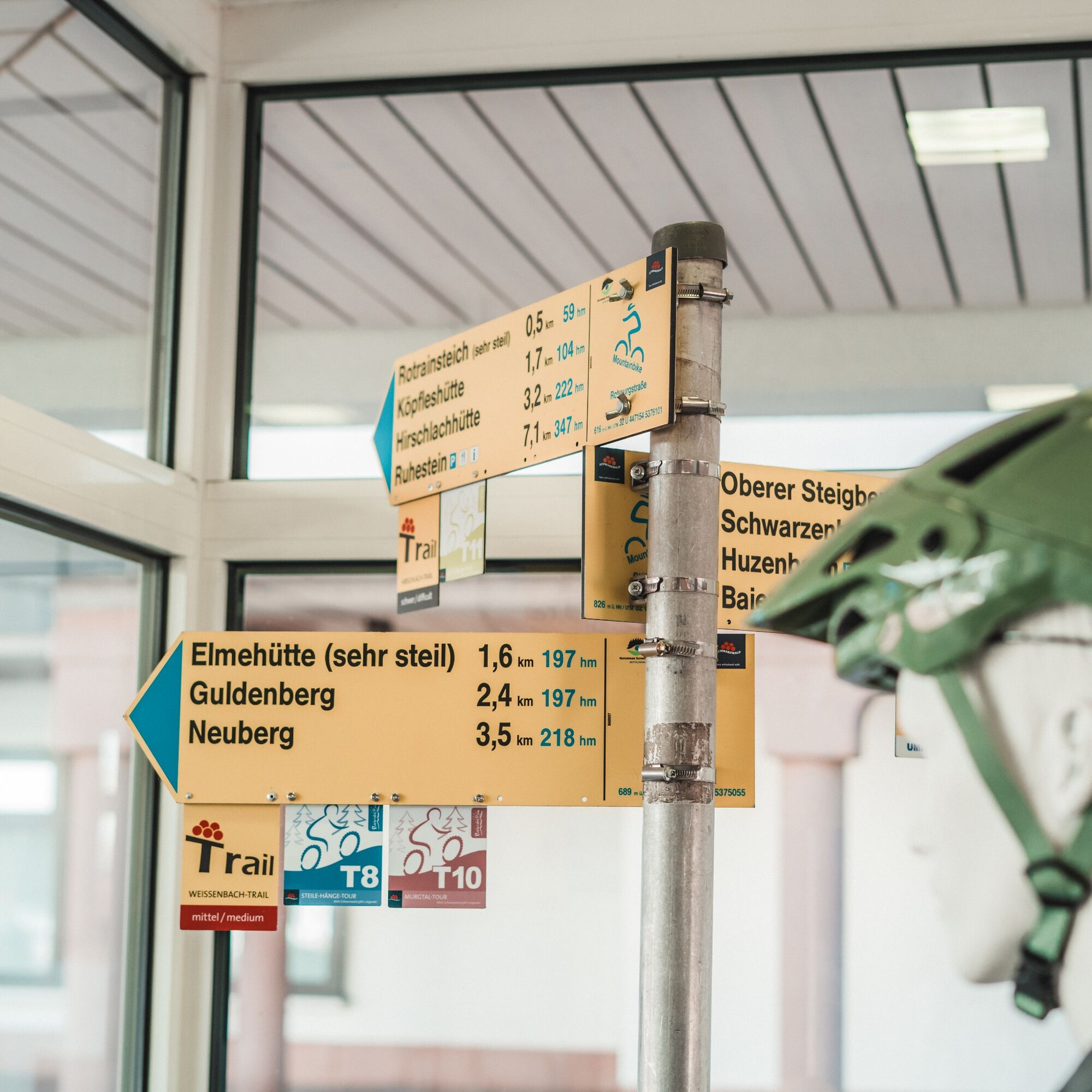

The Steep Slopes route rightly deserves its name. Here you can experience how steep the mountains rise along the upper Murg valley and the beautiful trail descents that result. The 46 km and 1,620 meters of elevation gain must be earned, especially since the downhill sections hardly offer relief for the calves, let alone for concentration. You are rewarded with magnificent views into the Murg valley and always have the ridges you still have to climb or have already ridden in front of you.
The route starts in the middle of Baiersbronn at Rosenplatz. First, it steadily climbs about 300 meters to the Elmehütte. Then follows a natural path and trail descent down to Sesterteich. Because we want to see more trails, we pedal back up to Guldenberg. On an enchanting trail, it goes down again, always along the slope towards Dachsbau. You cross a slope that fell victim to a nameless storm in 2012. This offers wide views of the other valley side towards Walterhütte, where you can also enjoy the view later. On the Tannenfels Trail, it gets somewhat technical and rough on the bike. A very tight hairpin and a rocky narrow spot will force some to dismount. And again, it goes up to the height where we ride comfortably along the national park border. From Hirschlachhütte, you can drop the saddle again and should open the shock absorber. After the storm, this trail was newly built and now offers challenging riding fun over about 200 meters of elevation.
Afterwards, you cross the Murg. In warm weather and low water levels, you leave the bridge on the left and take the ford instead. On the southern valley side, it goes uphill again to Röhrsbächle. The trail descent is mostly flowing and leads us through a deciduous forest for a change. In Buhlbach, a break at the Glashütte (Wed.-Sun.), a notable Baiersbronn monument and home of the sparkling wine bottle, is worthwhile. A short trail then brings cyclists uphill again, and you roll towards the tennis courts before a long climb to the top follows. From Burgkopf, you have a breathtaking panorama, just like from Walterhütte. Opposite, you can see the Tannenfels Trail that you concentrated on descending a few hours ago. Over a built trail with stone fields, it goes down with berm turns to Walterhütte. A rest at the Genussplatz is mandatory here. After that, full concentration is required on a partly flowing and partly technically demanding trail section. At Sonnenhütte, you have the option to go left to Obertal for refreshments, or you ride on the bike path past the natural outdoor pool to Mitteltal, where various supply options are also available. In Mitteltal, you turn off for a last excursion into one of the side valleys. On an enchanting trail, you ride to the Grünes Plätzle parking lot and gently uphill to Höllrain. In this shortened variant, you skip the detour to Höllkopf and ride straight into the trail to Höll. A trail section follows along the slope and then continues on gravel roads past the barefoot path and interactive theme trail "Holzweg" to Höllwald. Another short trail section follows, and finally, it goes over the meadow at Bergergrund with a view of our destination, the core town of Baiersbronn.
Shortcut:
In addition to this signposted shortcut option, you can skip individual climbs and descents at any time. Please use the mountain bike map for orientation.
E-mountain bike:
Not suitable.
Please check in advance for current trail closures or at the Baiersbronn Hiking Information Center whether the route is open. Phone: +49 7442 8414-66.
In the national park area, there are seasonal trail closures mainly in wildlife protection zones during winter. In particularly sensitive areas, these may extend beyond winter. In case of a closure, a detour is signposted.
Children:
The route is not suitable for children and adolescents due to occasional risk of falling.
Baiersbronn station, from there follow the mountain bike signs towards Rosenplatz (800m).
Parking garage at Rosenplatz (paid), Rosenplatz, 72270 Baiersbronn
Parking lot at the outdoor pool (free, about 250m to the starting point), Wilhelm-Münster-Straße 26, 72270 Baiersbronn
S3
Tips for this route:
Link to the T8 Steep Slopes route with the full route length All about mountain biking in BaiersbronnPlaces to eat:
Satteleihütte at the beginning of the route various options in Obertal Forellenhof in Buhlbach (turn right at the Buhlbach signpost, about 500 m) various options in Mitteltal and finally in the core town of BaiersbronnNehmt euch Zeit.
Pridobite vpogled
Vedno v živo na mestu z več kot 9.500 spletnimi kamerami. bergfex Kot uporabnik Pro si lahko zdaj ogledate ustrezne spletne kamere za številne izlete v aplikaciji izleti iz. Tako si lahko neposredno ogledate trenutne razmere.
Priljubljeni izleti v okolici
-
4.8
Kniebiser Heimatpfad - Wandern mit Genuss
svetlobaPohodništvo 9.07 km -
3.9
Schnapsbrunnenweg 2
srednjaPohodništvo 12.8 km -
4.9
Ottenhöfen - Eichkopf - Karlsruher Grat
srednjaPohodništvo 13.7 km -
4.2
Sankenbachwasserfälle und Glasmännlehütte am Stöckerkopf
srednjaPohodništvo 12.8 km -
4.5
Naturgewalten-Tour
Pohodništvo 15.6 km -
4.7
Bannwald-Tour
Pohodništvo 13.3 km -
4.8
Bad Peterstal-Griesbach - Himmelssteig für "Höhenverliebte"
težkoPohodništvo 10.3 km -
4.6
Bad Rippoldsau - Cafe & Restaurant Zum Schlüssel - Klösterle - Burgbachwasserfall
srednjaPohodništvo 11.2 km -
5.0
Kniebis-Sankenbachwasserfälle-Sankenbachsee
srednjaPohodništvo 7.98 km -
4.5
Schnapsbrunnenweg 1
svetlobaPohodništvo 7.45 km
Pohodništvo in sledenje


Ne zamudite ponudb in navdiha za naslednje počitnice
Vaš e-poštni naslov je bil dodan na poštni seznam.





