



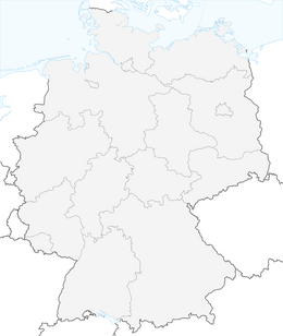


King stage Gravel
Fotografije naših uporabnikov
-
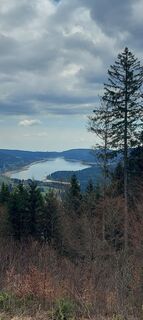
 © brauni69Ustvarjeno na 18.04.2026
 -
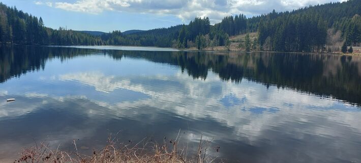 © brauni69Ustvarjeno na 18.04.2026
 -
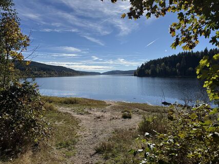
 © Donato AlfiUstvarjeno na 08.10.2025
 -
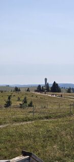
 © THE 1Ustvarjeno na 12.08.2025
 -
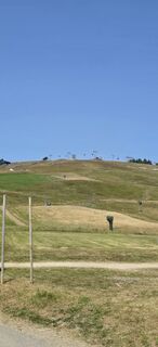 © THE 1Ustvarjeno na 12.08.2025
 -
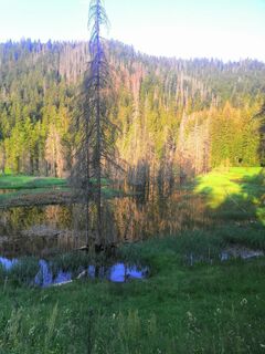
 © Sonja HerdegUstvarjeno na 17.06.2023
 -
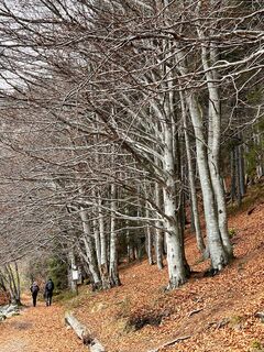
 © vcandilUstvarjeno na 06.11.2022
 -
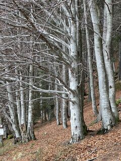 © vcandilUstvarjeno na 06.11.2022
 -
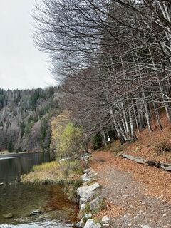 © vcandilUstvarjeno na 06.11.2022
 -
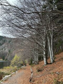 © vcandilUstvarjeno na 06.11.2022
 -
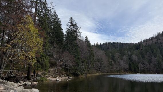 © vcandilUstvarjeno na 06.11.2022
 -
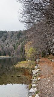 © vcandilUstvarjeno na 06.11.2022
 -
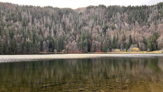 © vcandilUstvarjeno na 06.11.2022
 -
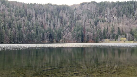 © vcandilUstvarjeno na 06.11.2022
 -
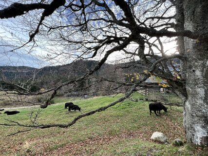 © vcandilUstvarjeno na 06.11.2022
 -
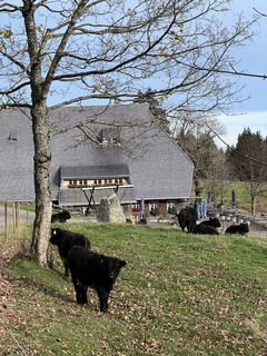 © vcandilUstvarjeno na 06.11.2022
 -
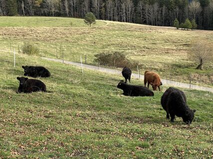 © vcandilUstvarjeno na 06.11.2022
 -
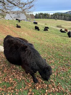 © vcandilUstvarjeno na 06.11.2022
 -
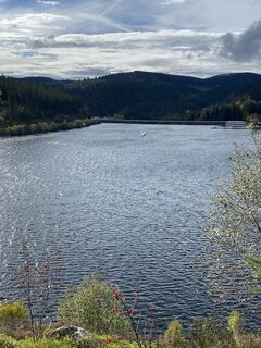 © SkiniUstvarjeno na 15.10.2022
 -
 © vali0312Ustvarjeno na 20.02.2026
 -
 © Norbert LaiferUstvarjeno na 18.01.2026
 -
 © Norbert LaiferUstvarjeno na 18.01.2026
 -
 © ViolaUstvarjeno na 22.11.2025
 -
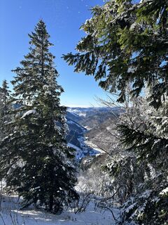 © ViolaUstvarjeno na 22.11.2025
 -
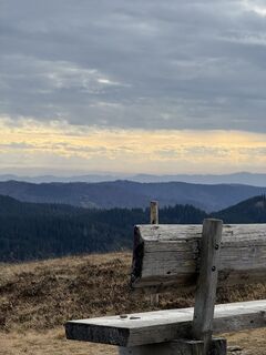 © Fabian EUstvarjeno na 15.11.2025
 -
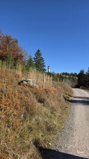 © MoniUstvarjeno na 18.10.2025
 -
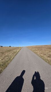 © MoniUstvarjeno na 18.10.2025
 -
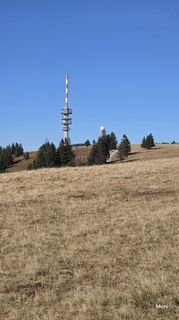 © MoniUstvarjeno na 18.10.2025
 -
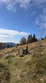 © MoniUstvarjeno na 18.10.2025
 -
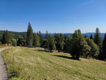 © SvenLöweUstvarjeno na 26.08.2025
 -
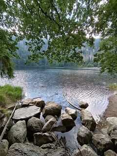
 © Florian EndresUstvarjeno na 17.08.2025
 -
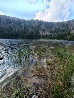 © Florian EndresUstvarjeno na 17.08.2025
 -
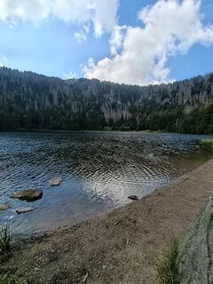 © Florian EndresUstvarjeno na 17.08.2025
 -
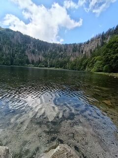 © Florian EndresUstvarjeno na 17.08.2025
 -
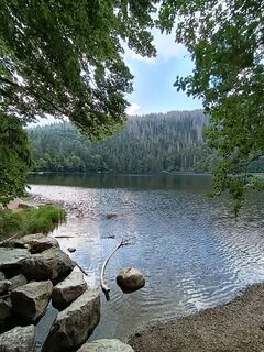 © Florian EndresUstvarjeno na 17.08.2025
 -
 © JensUstvarjeno na 05.08.2025
 -
 © JensUstvarjeno na 05.08.2025
 -
 © LiddeldiUstvarjeno na 31.07.2025
 -
 © LiddeldiUstvarjeno na 31.07.2025
 -
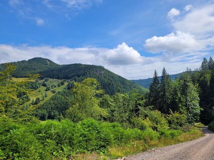 © LiddeldiUstvarjeno na 31.07.2025
 -
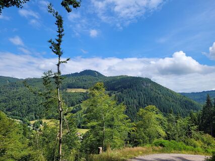 © LiddeldiUstvarjeno na 31.07.2025
 -
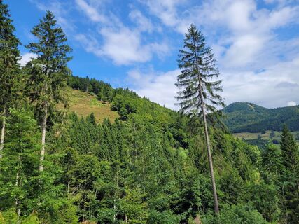 © LiddeldiUstvarjeno na 31.07.2025
 -
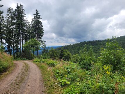 © LiddeldiUstvarjeno na 31.07.2025
 -
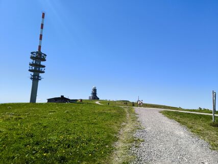
 © Dietmar Lüdenscheid ?Ustvarjeno na 30.05.2025
 -
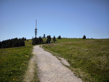 © Dietmar Lüdenscheid ?Ustvarjeno na 30.05.2025
 -
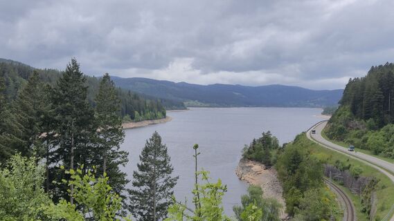 © w.k2Ustvarjeno na 26.05.2025
 -
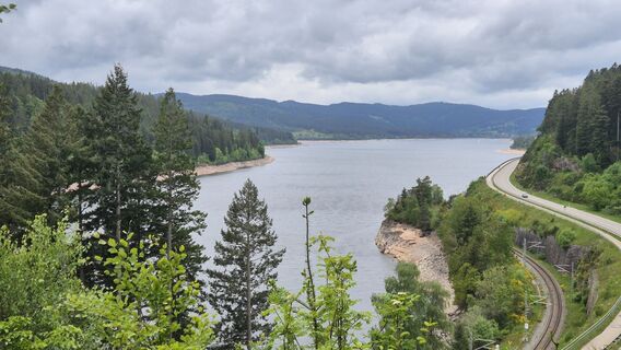 © w.k2Ustvarjeno na 26.05.2025
 -
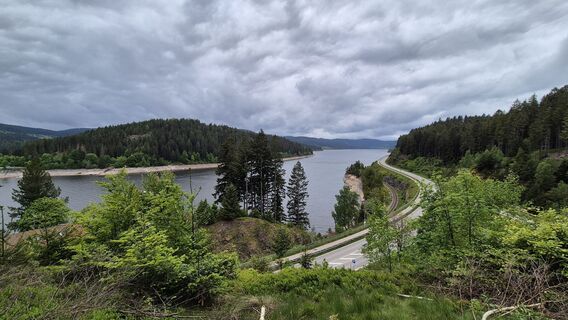 © w.k2Ustvarjeno na 26.05.2025
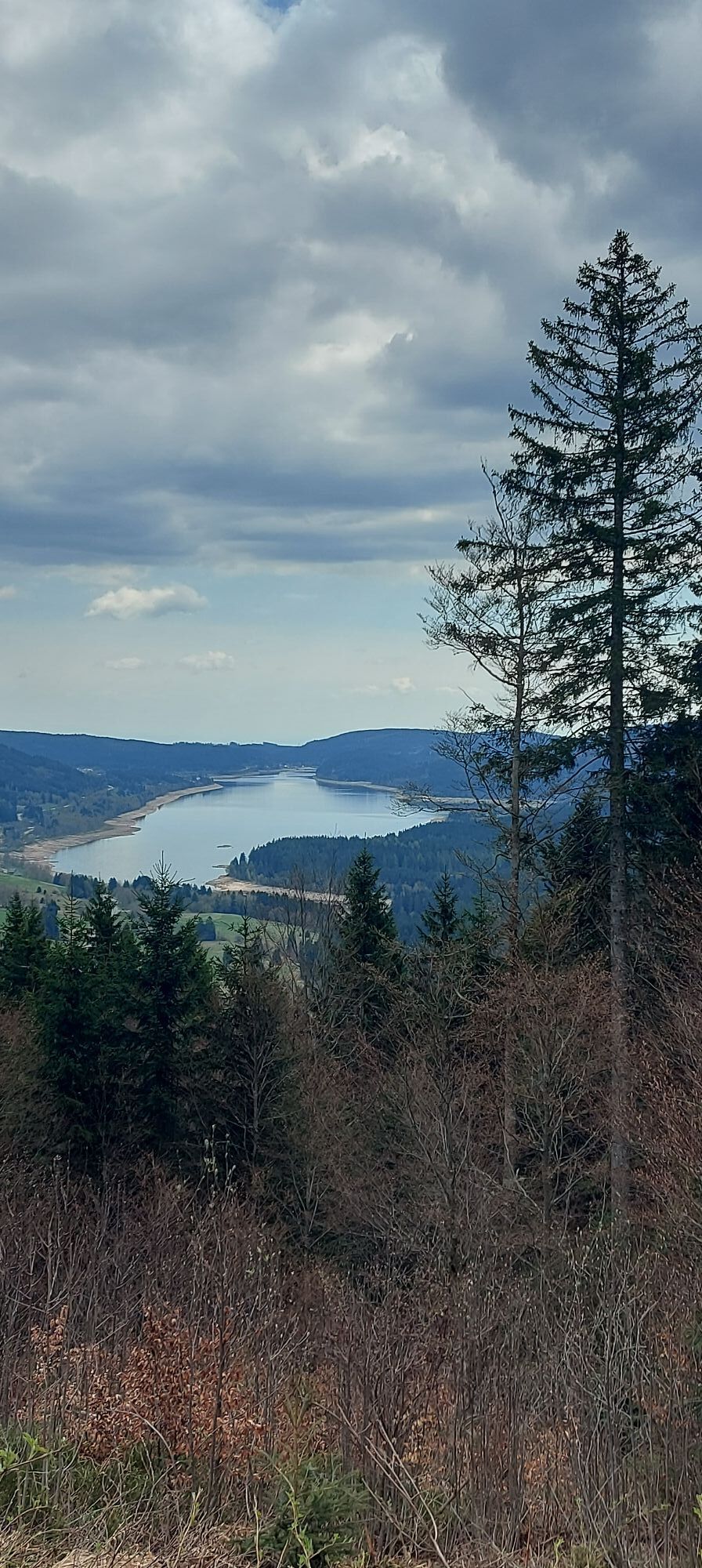
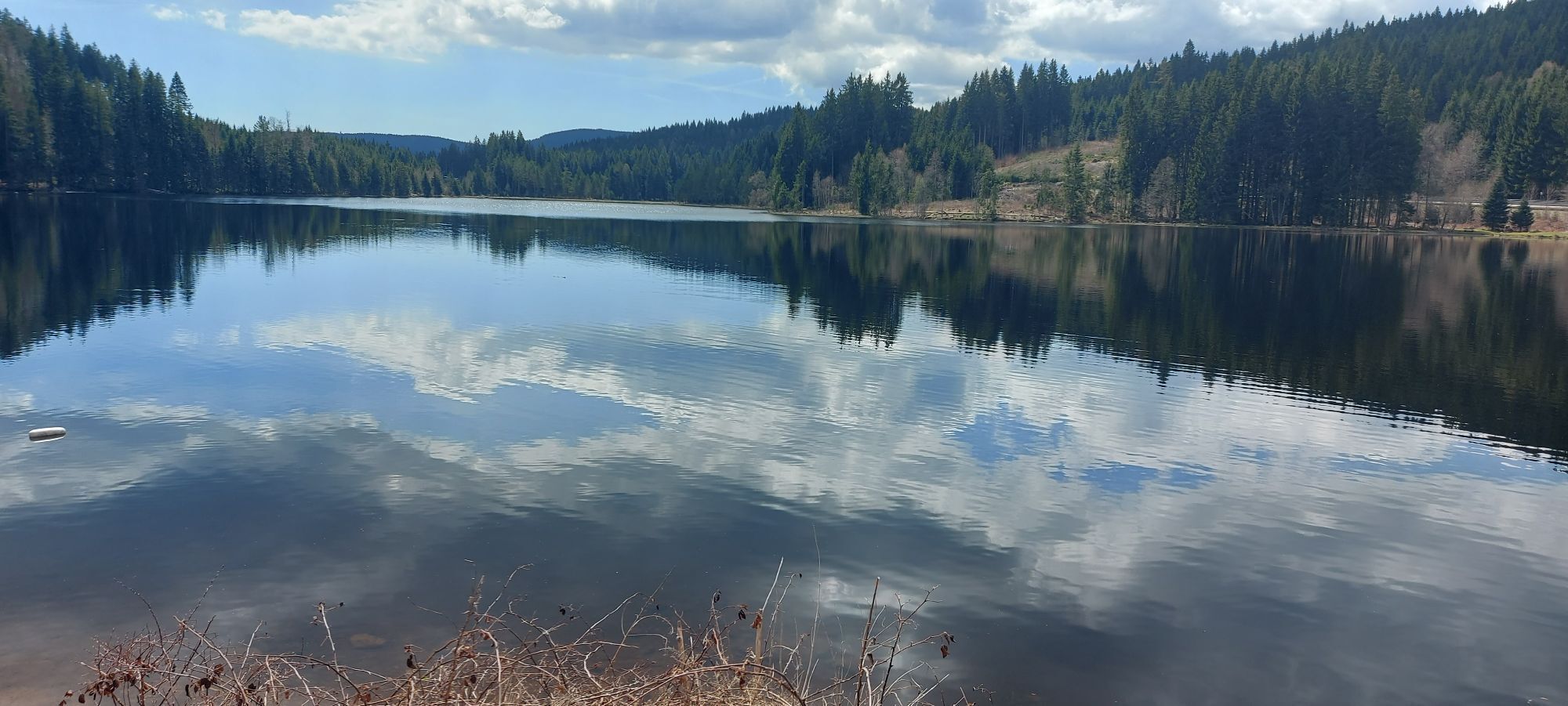
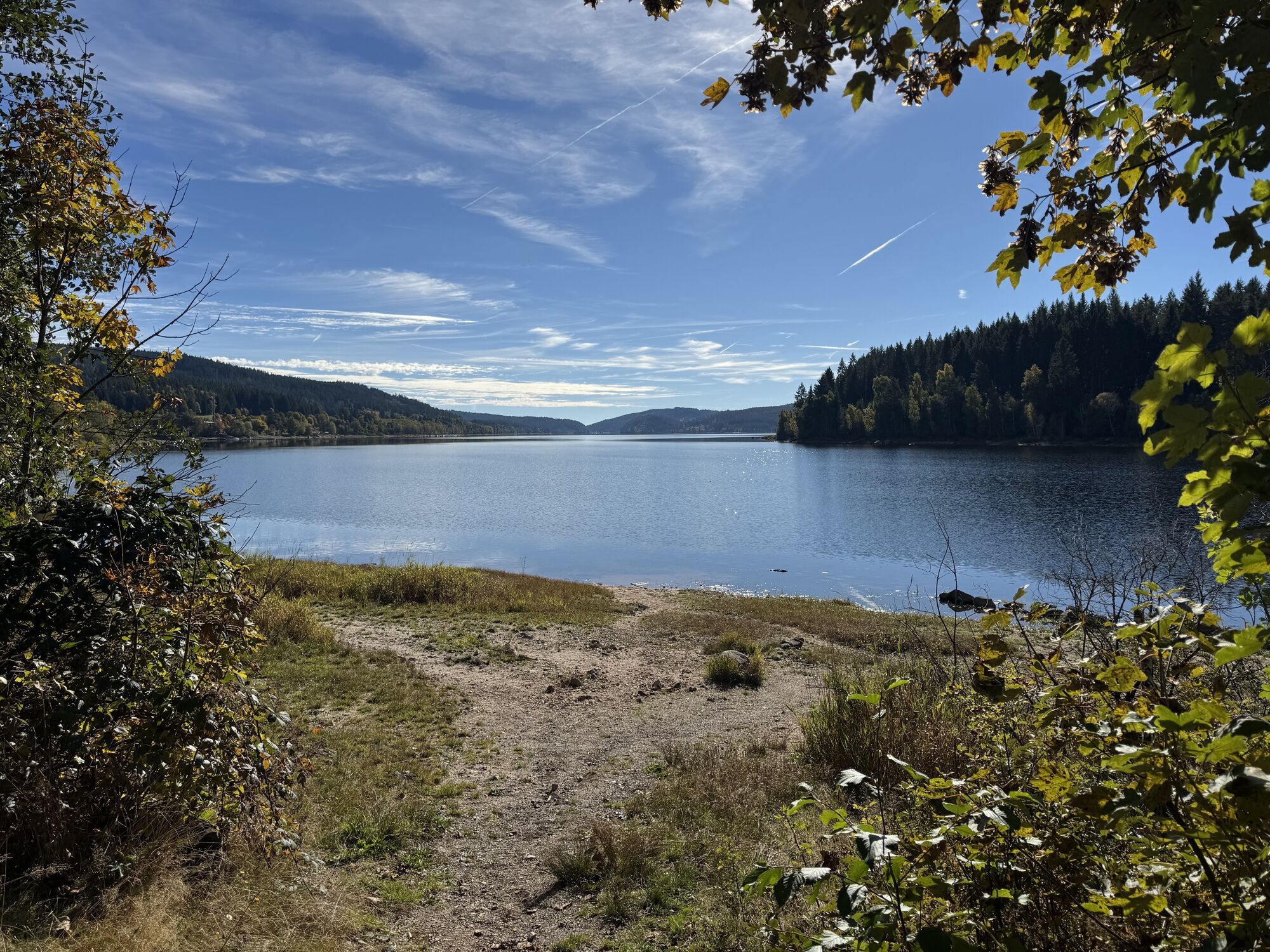
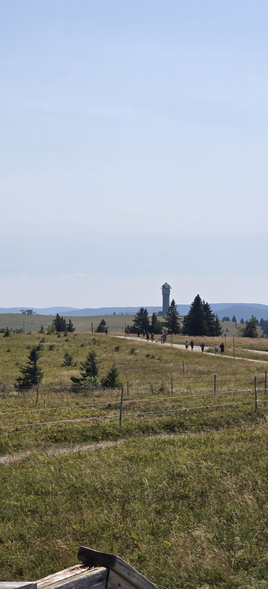
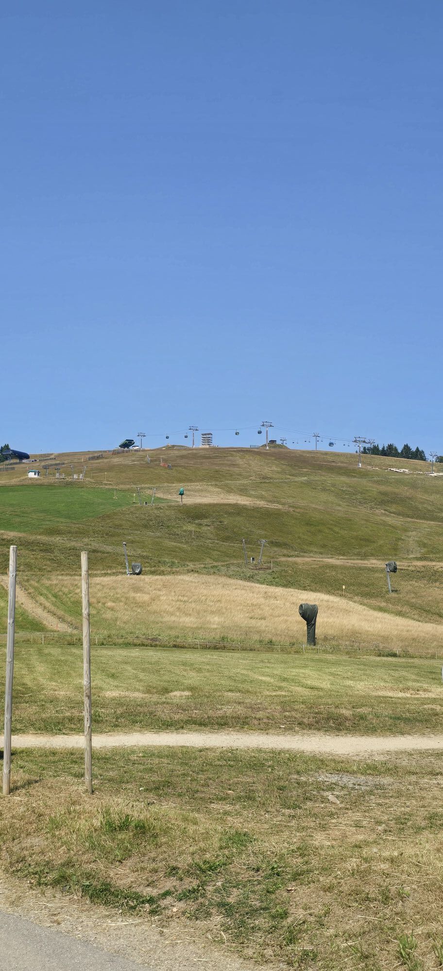
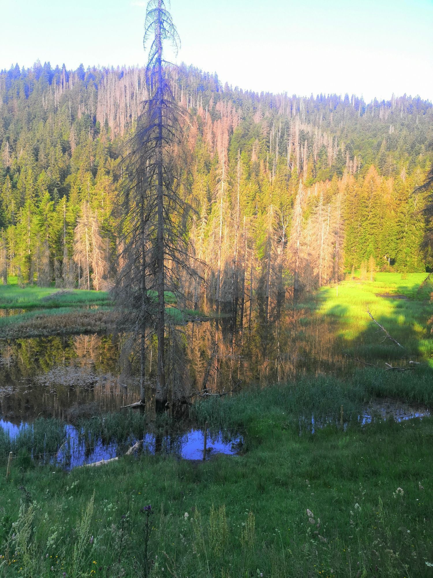
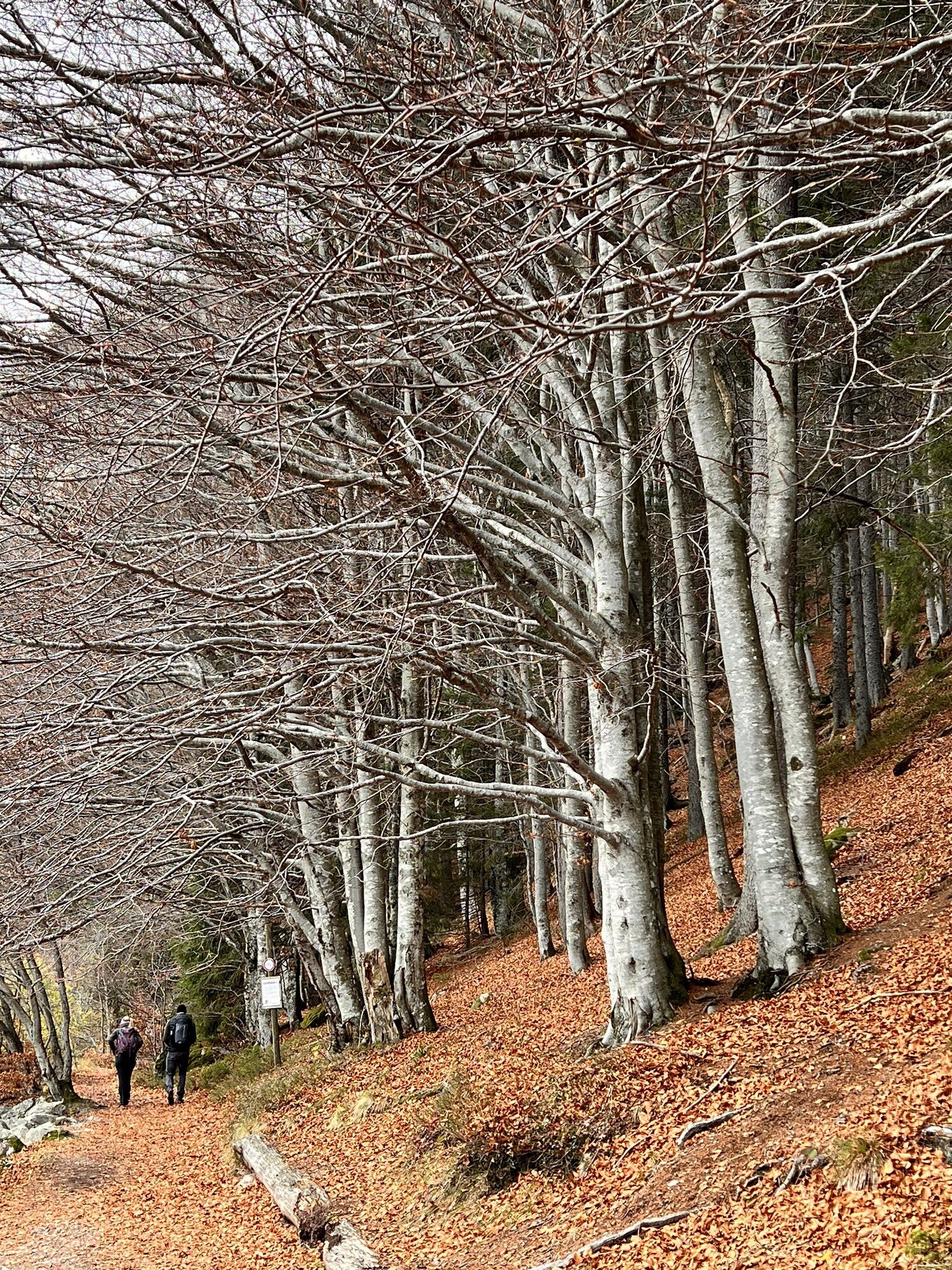
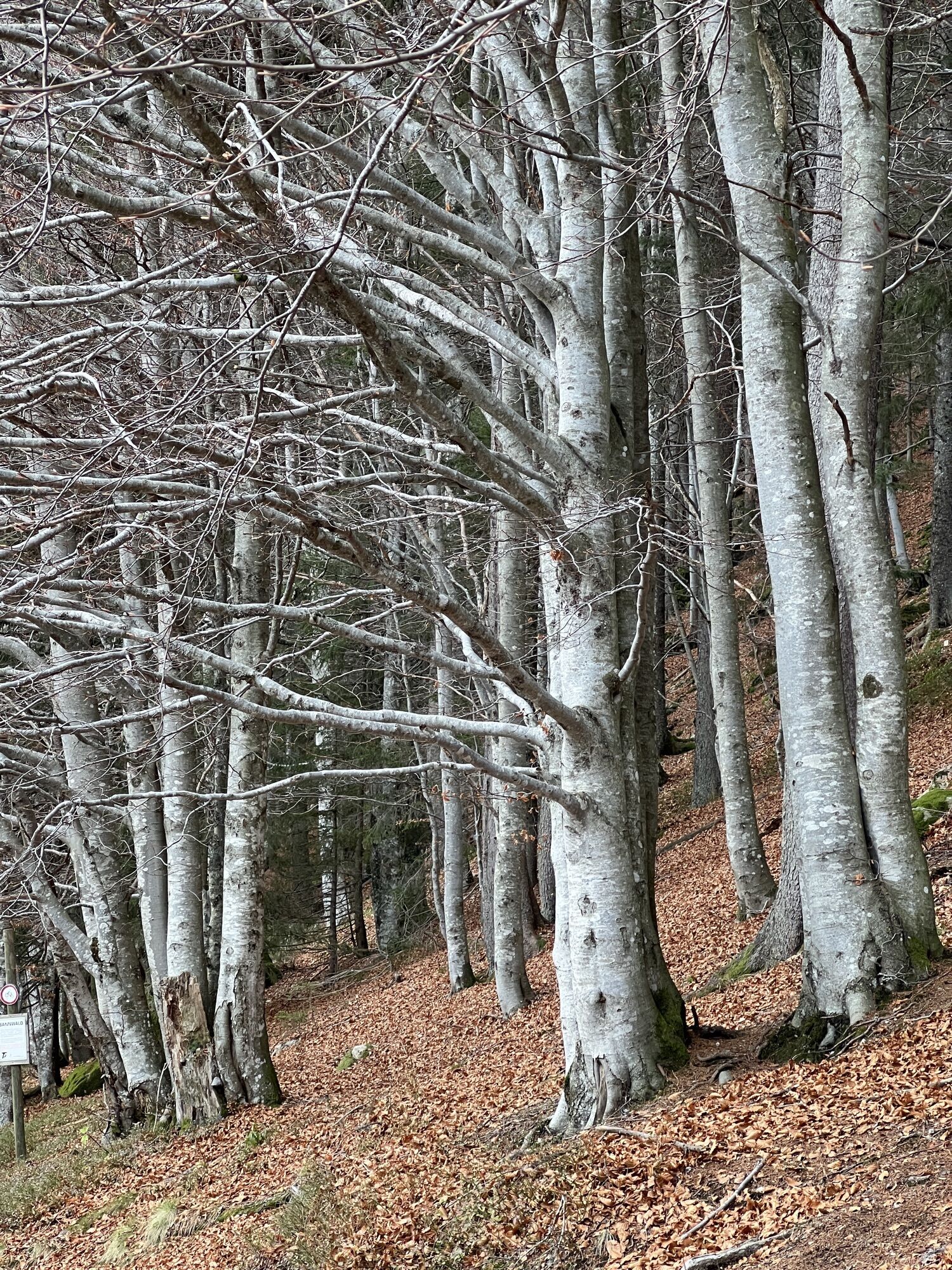
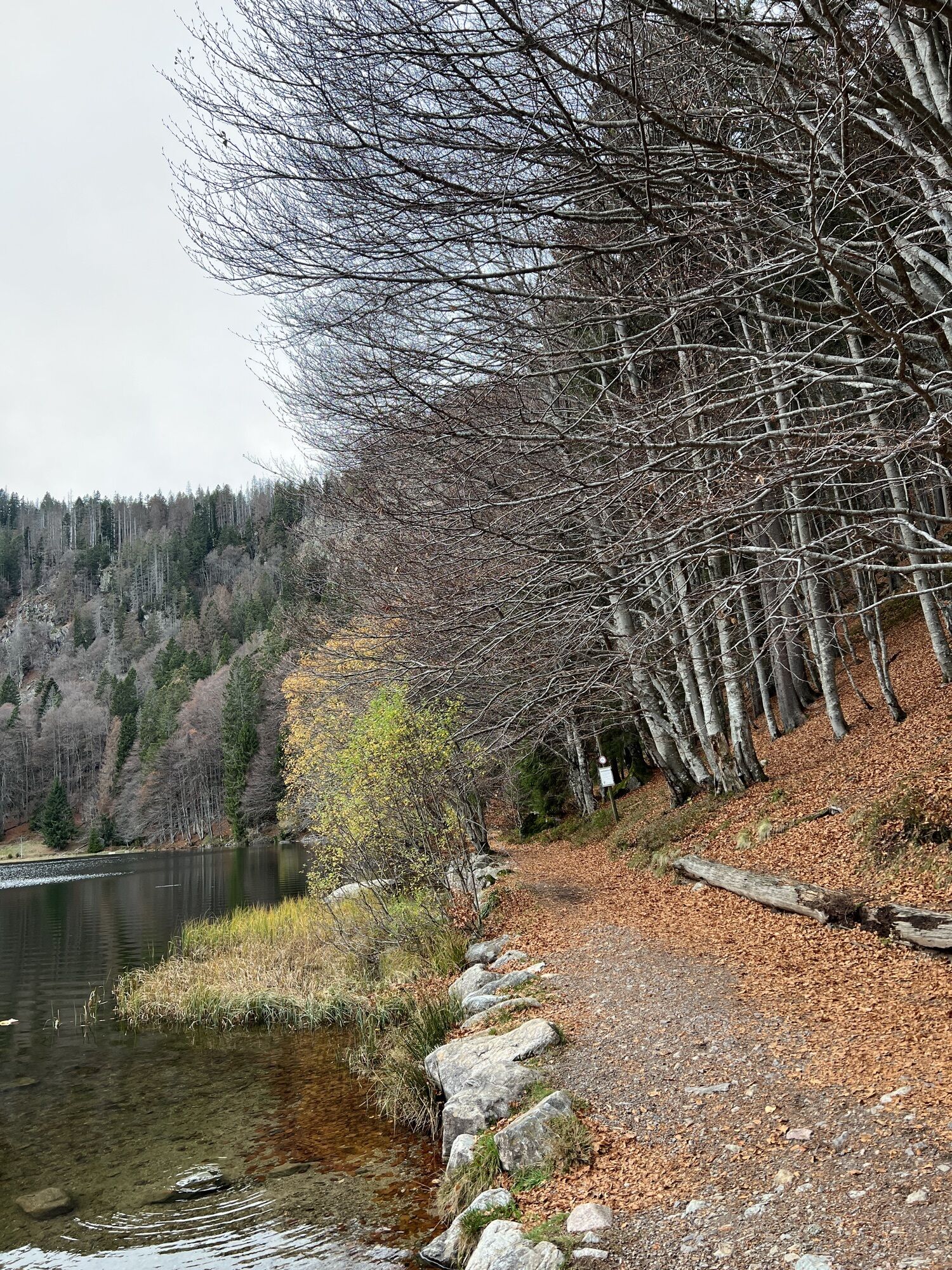
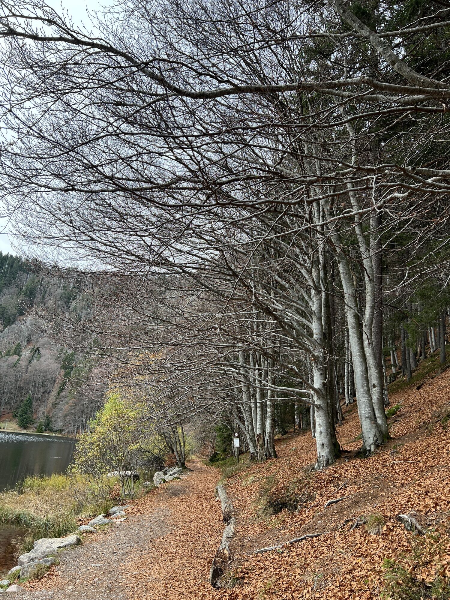
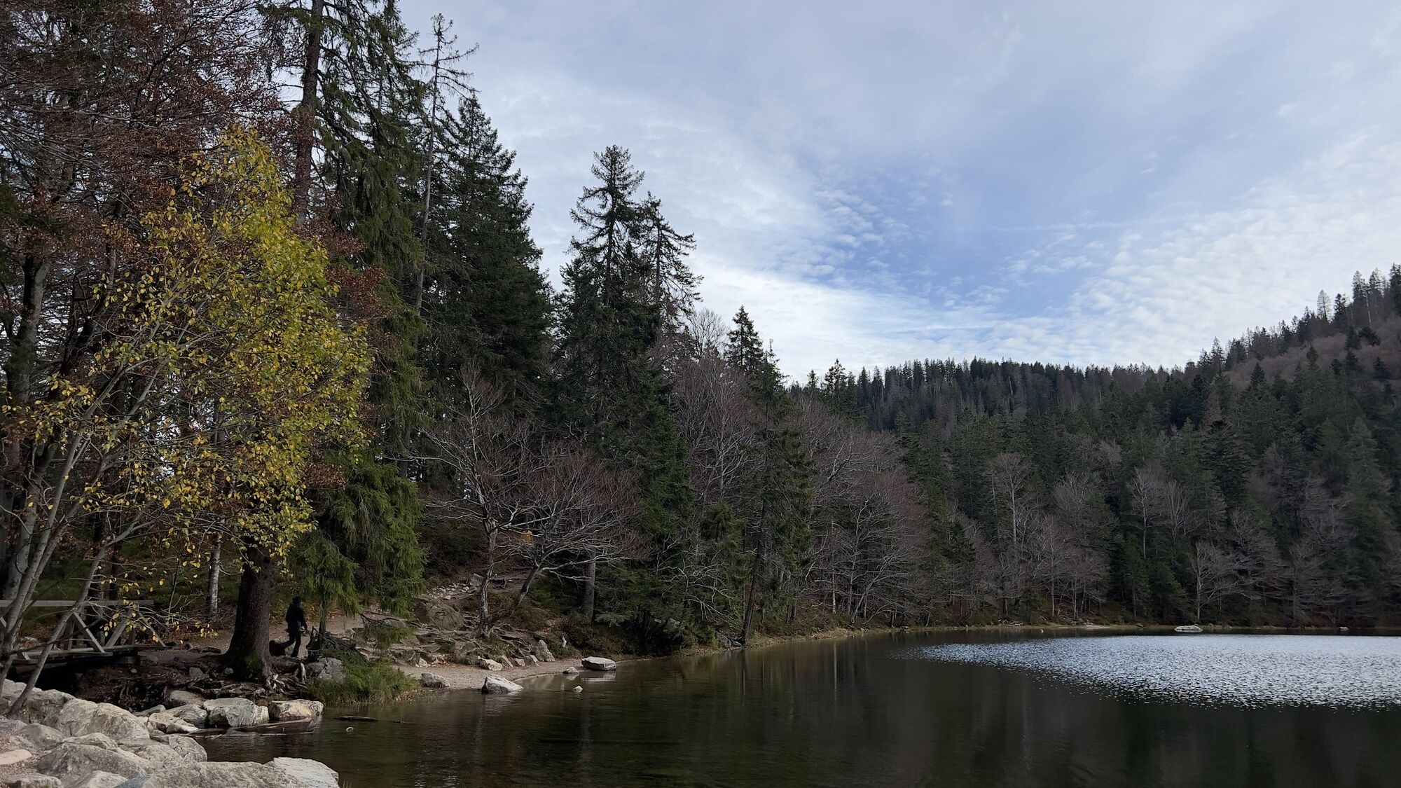
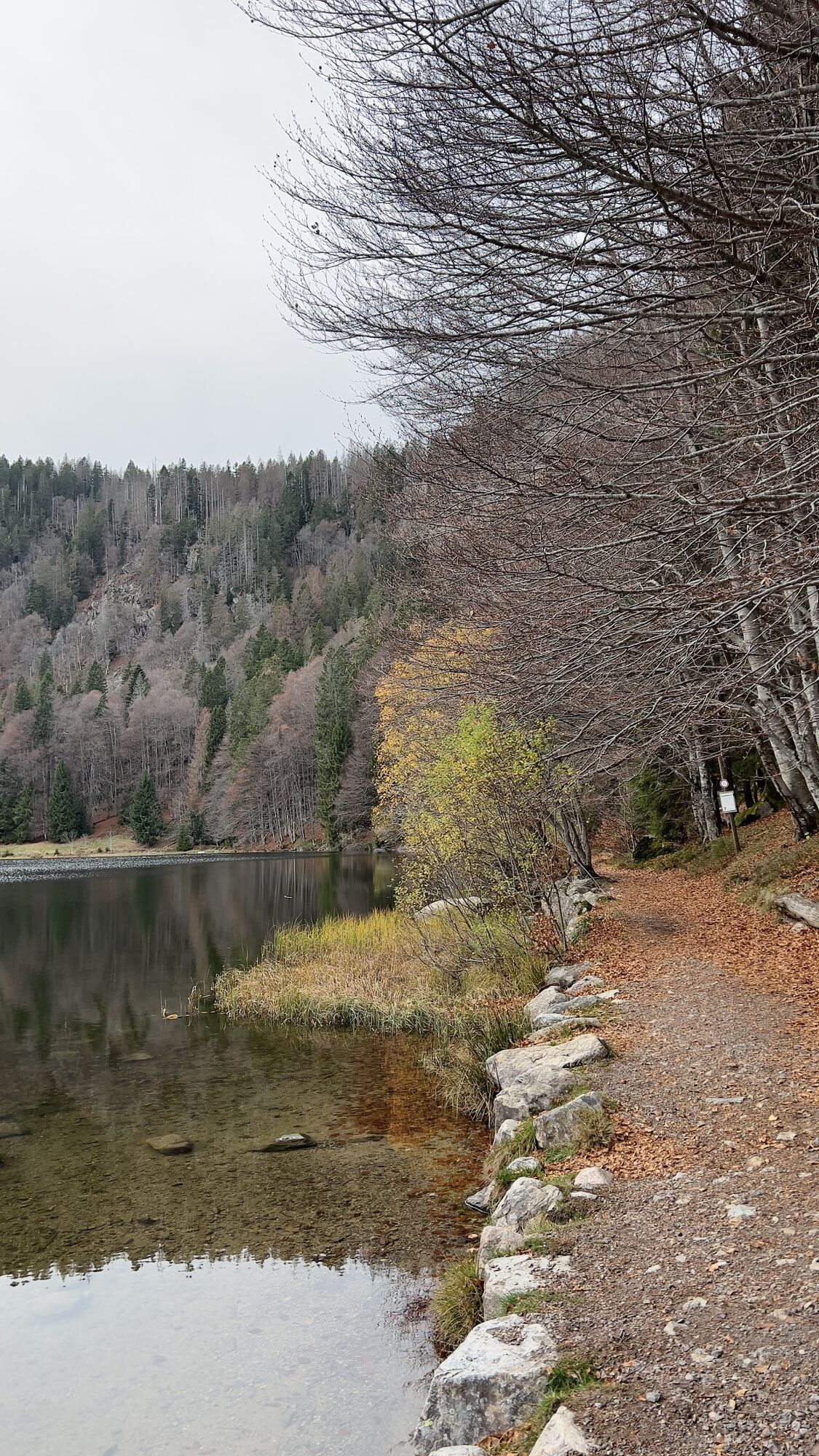
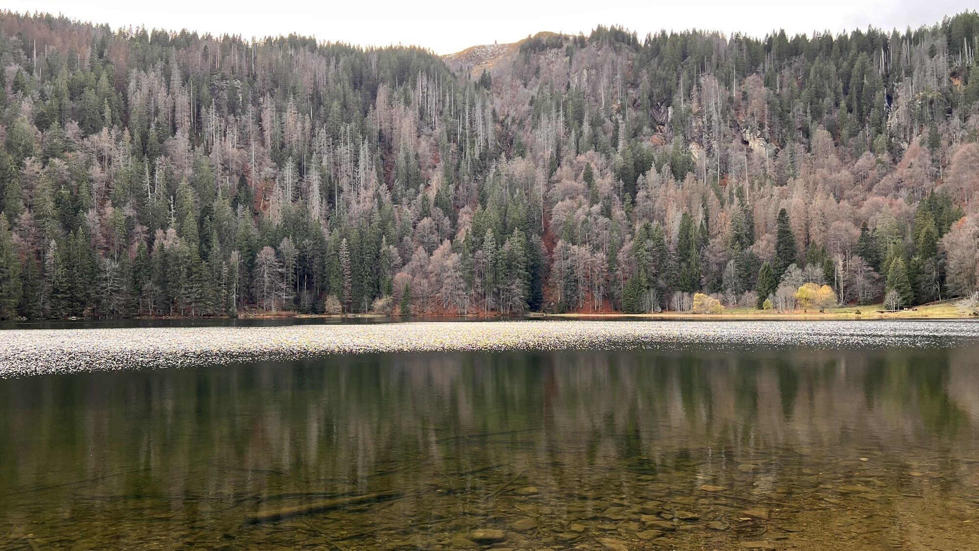
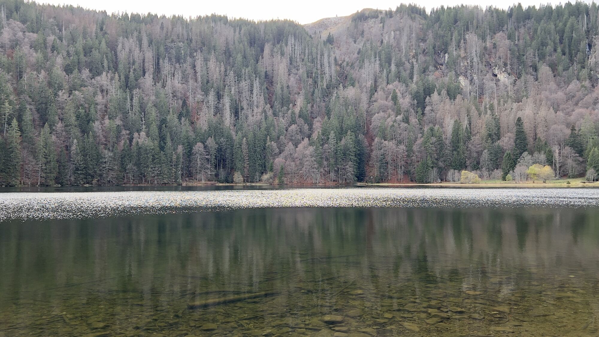
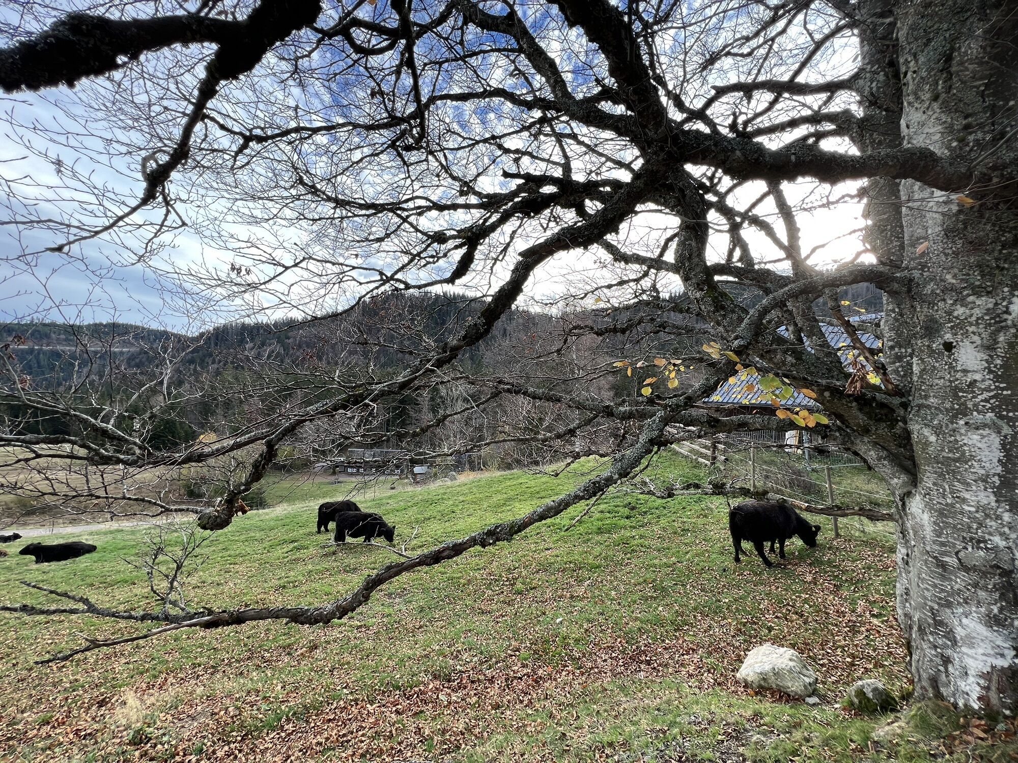
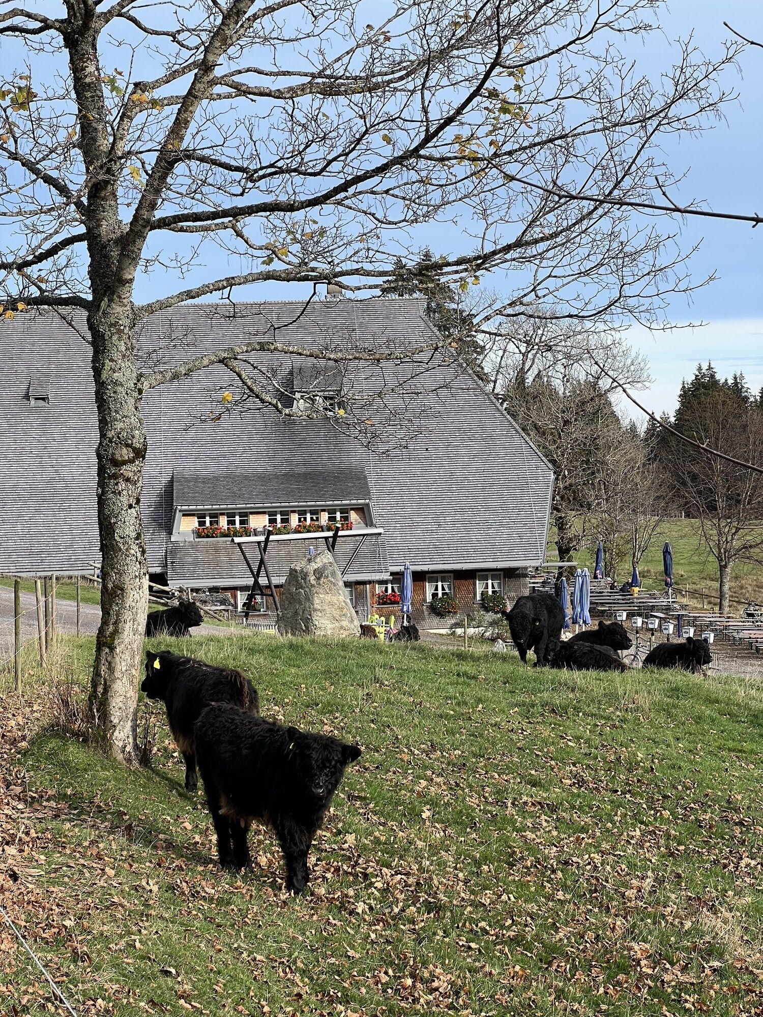
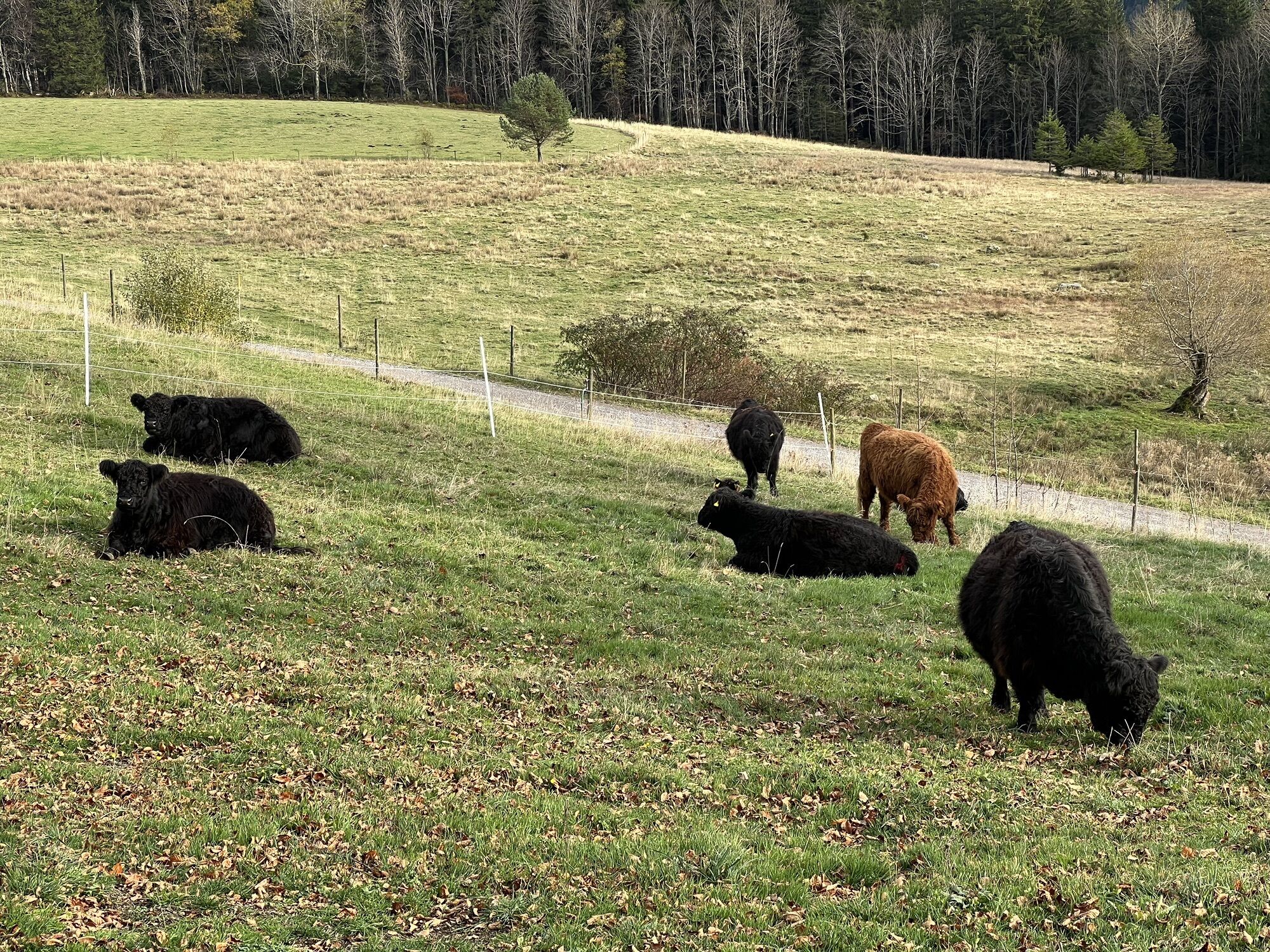
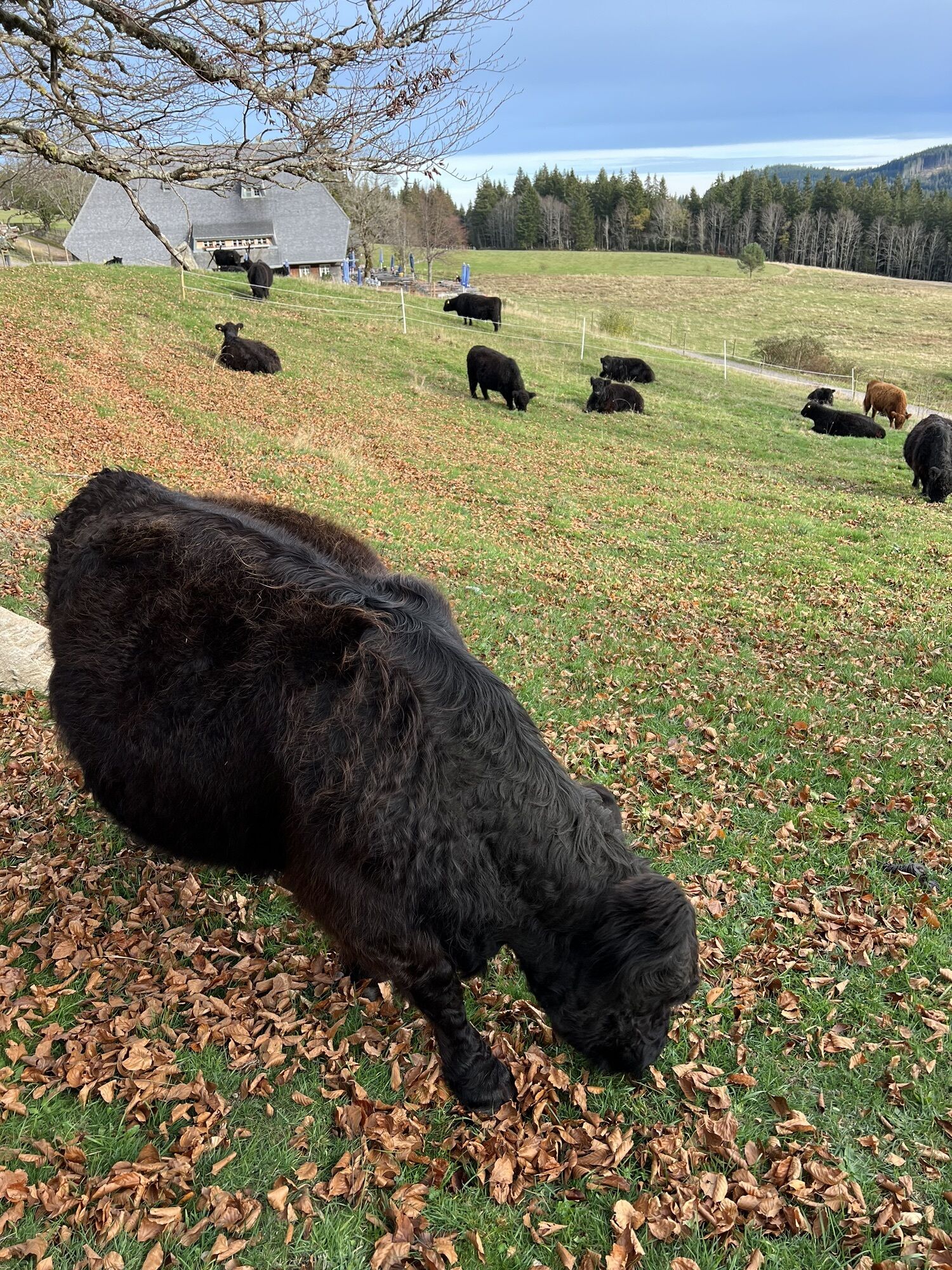
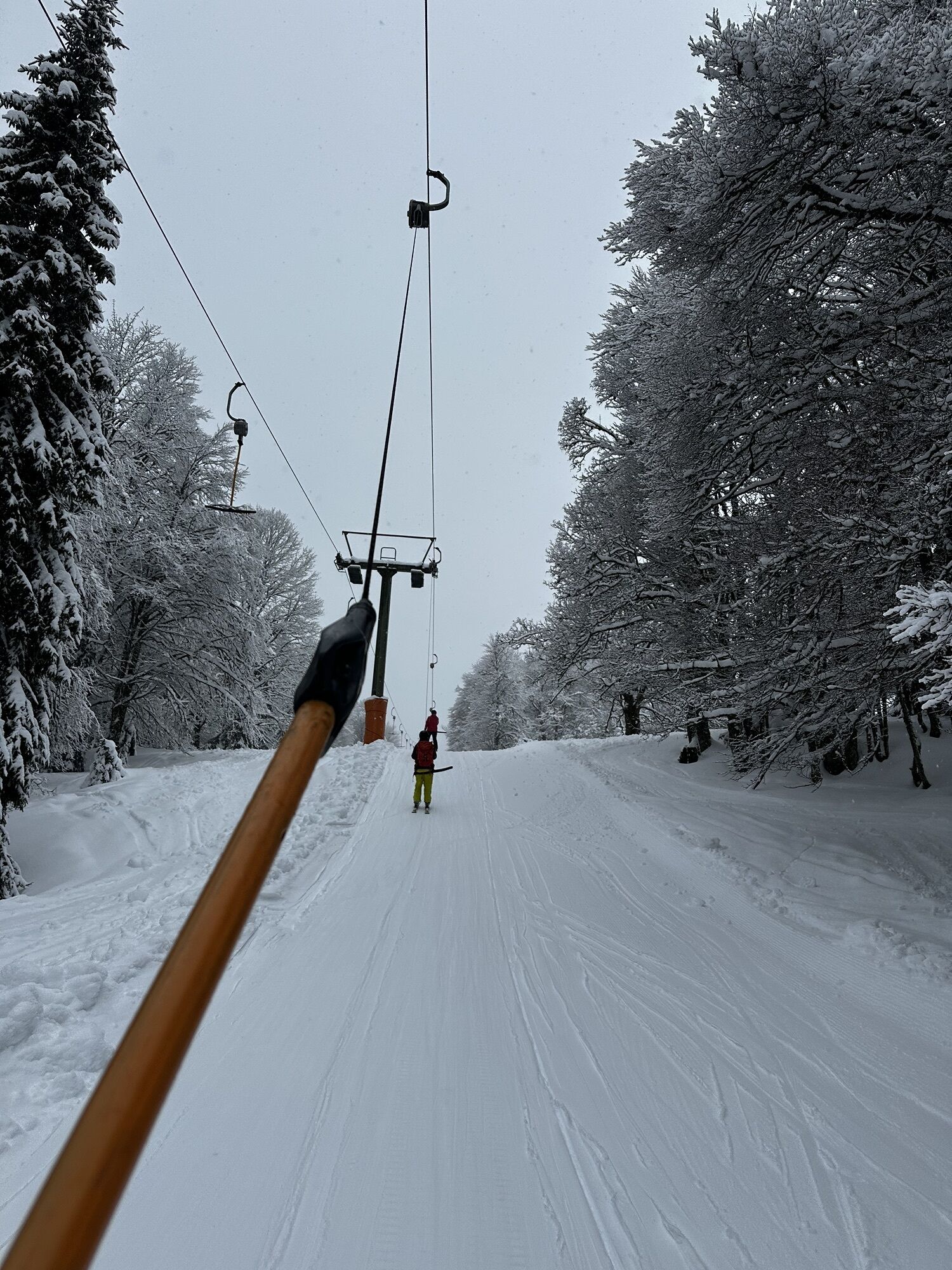
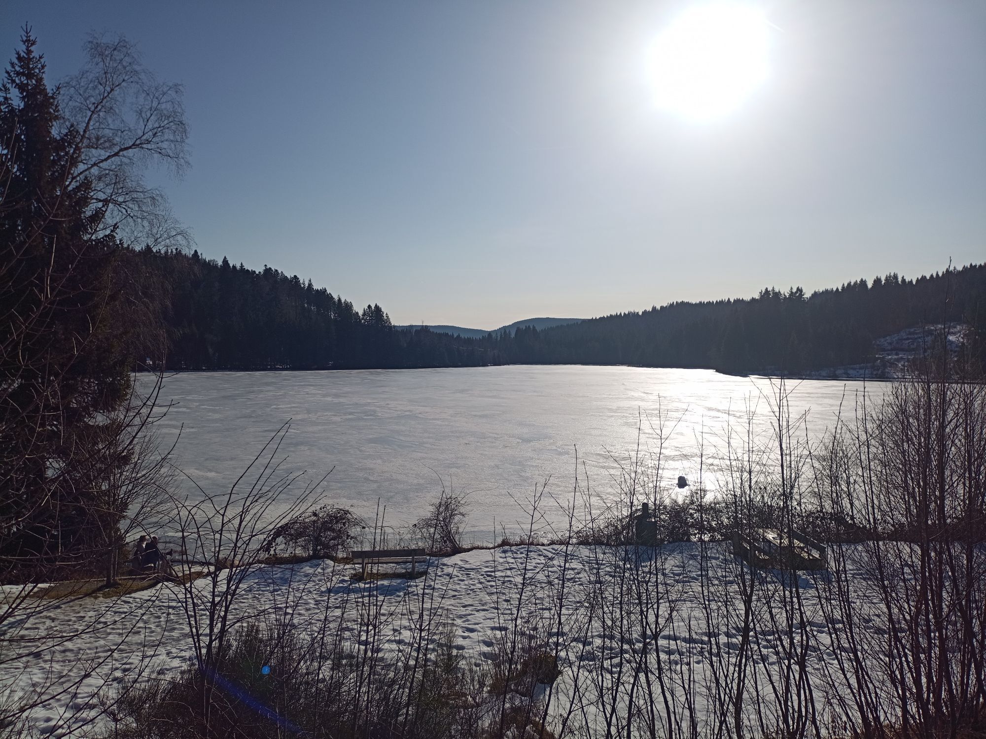
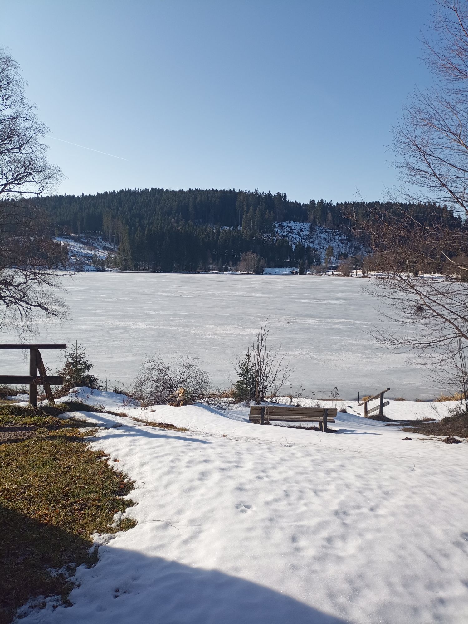
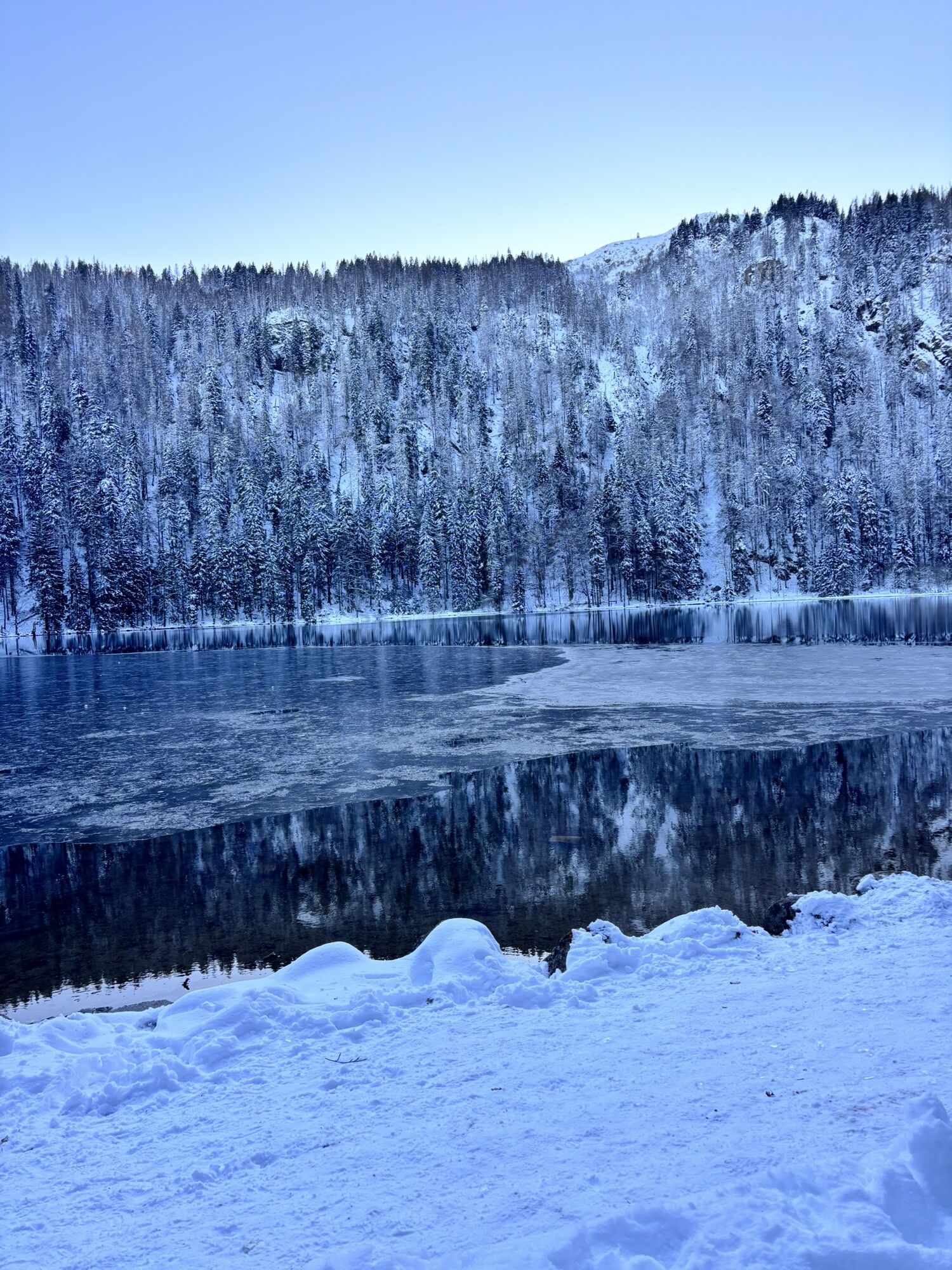
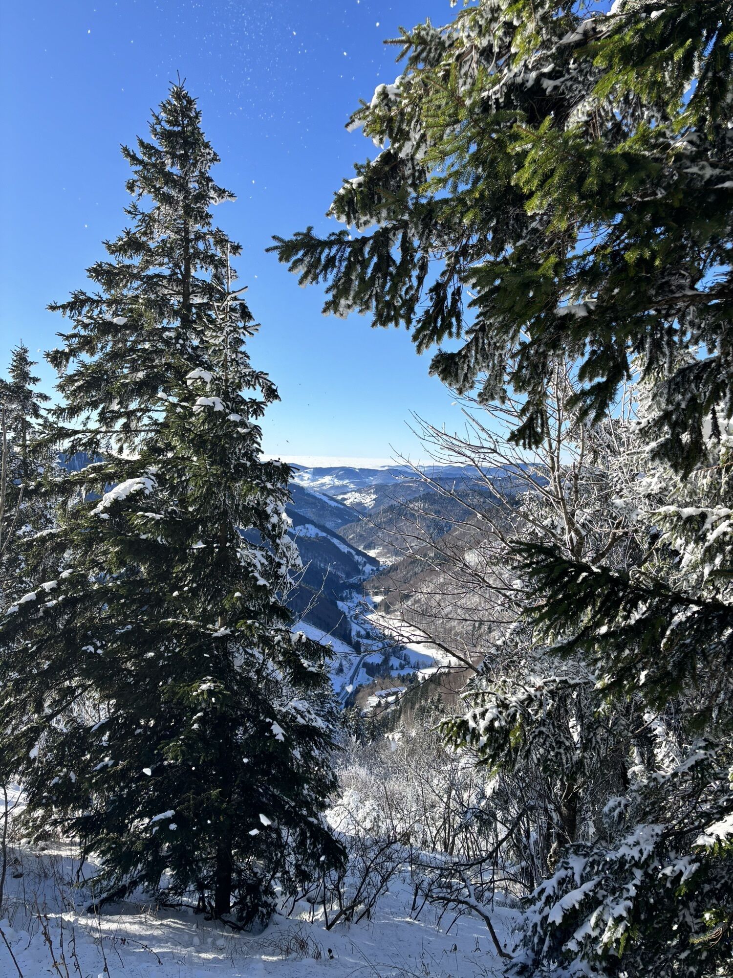
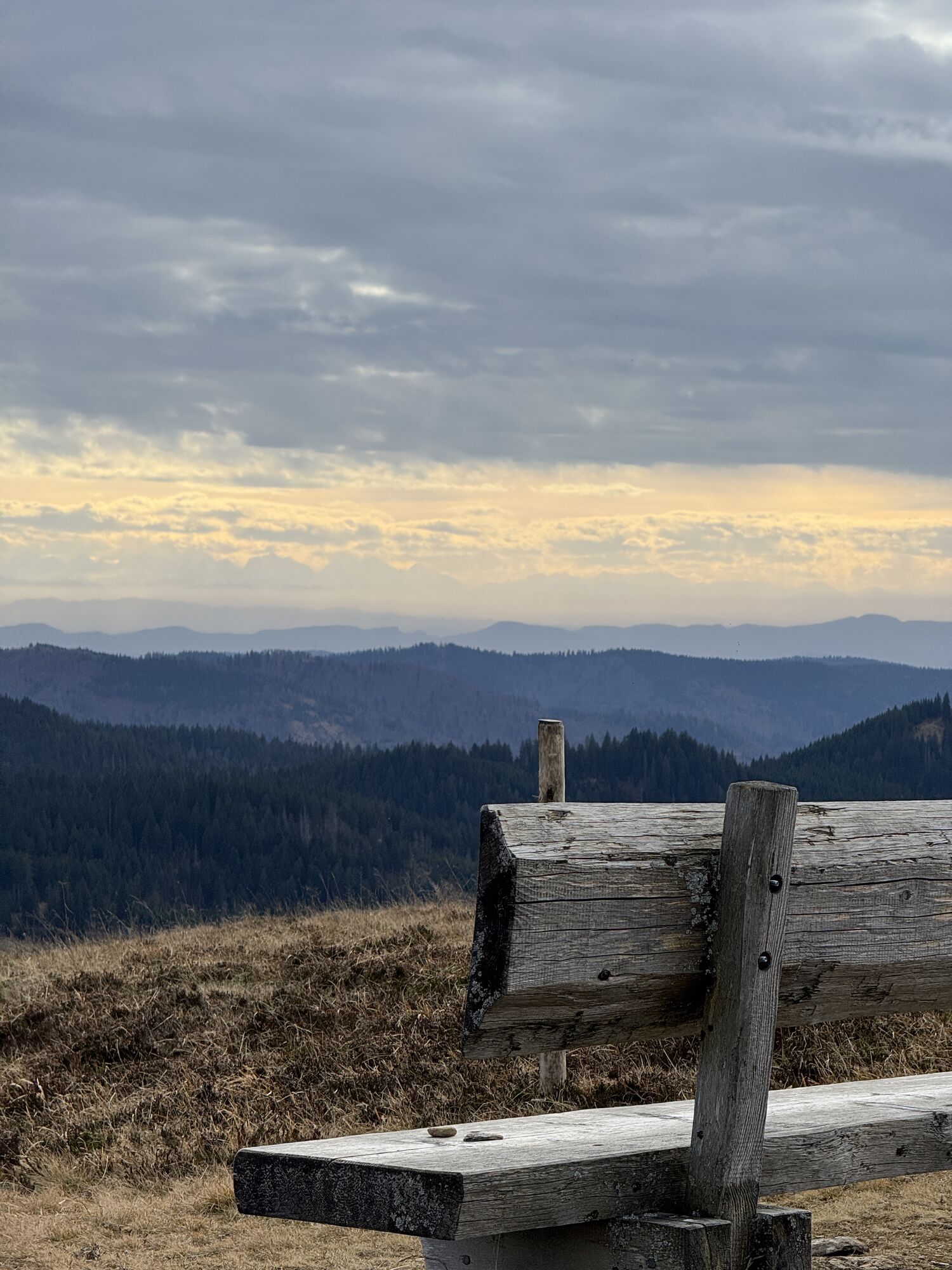
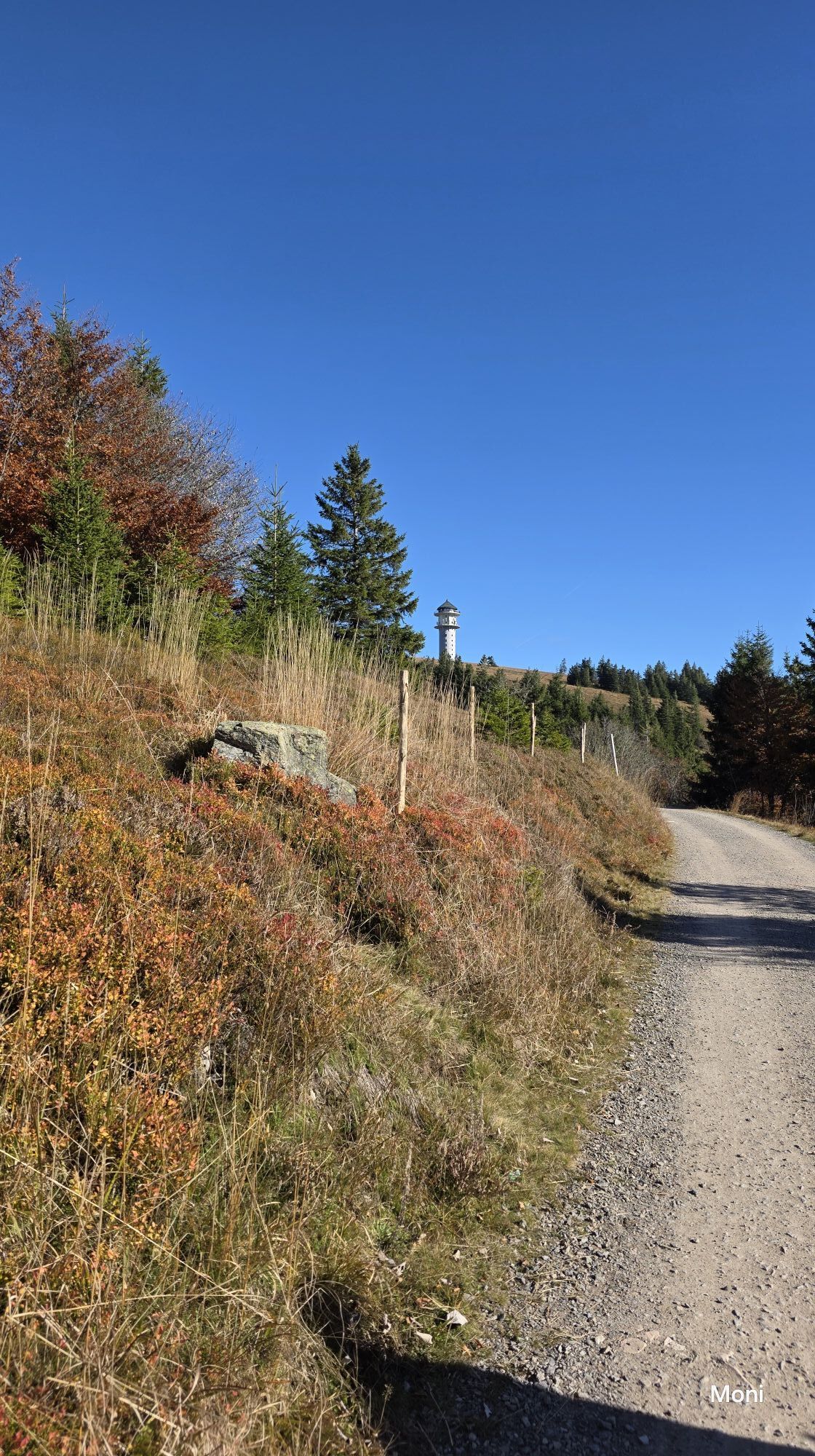
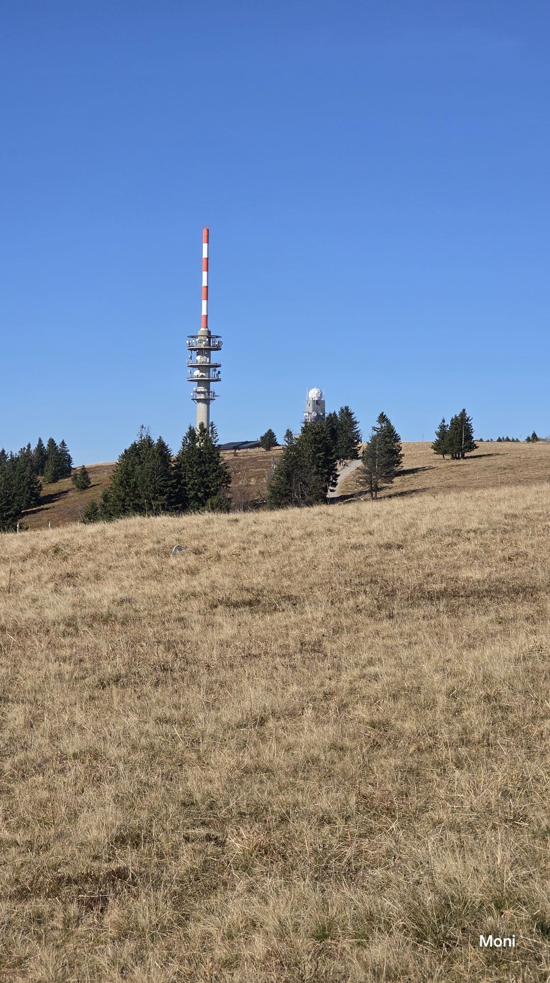
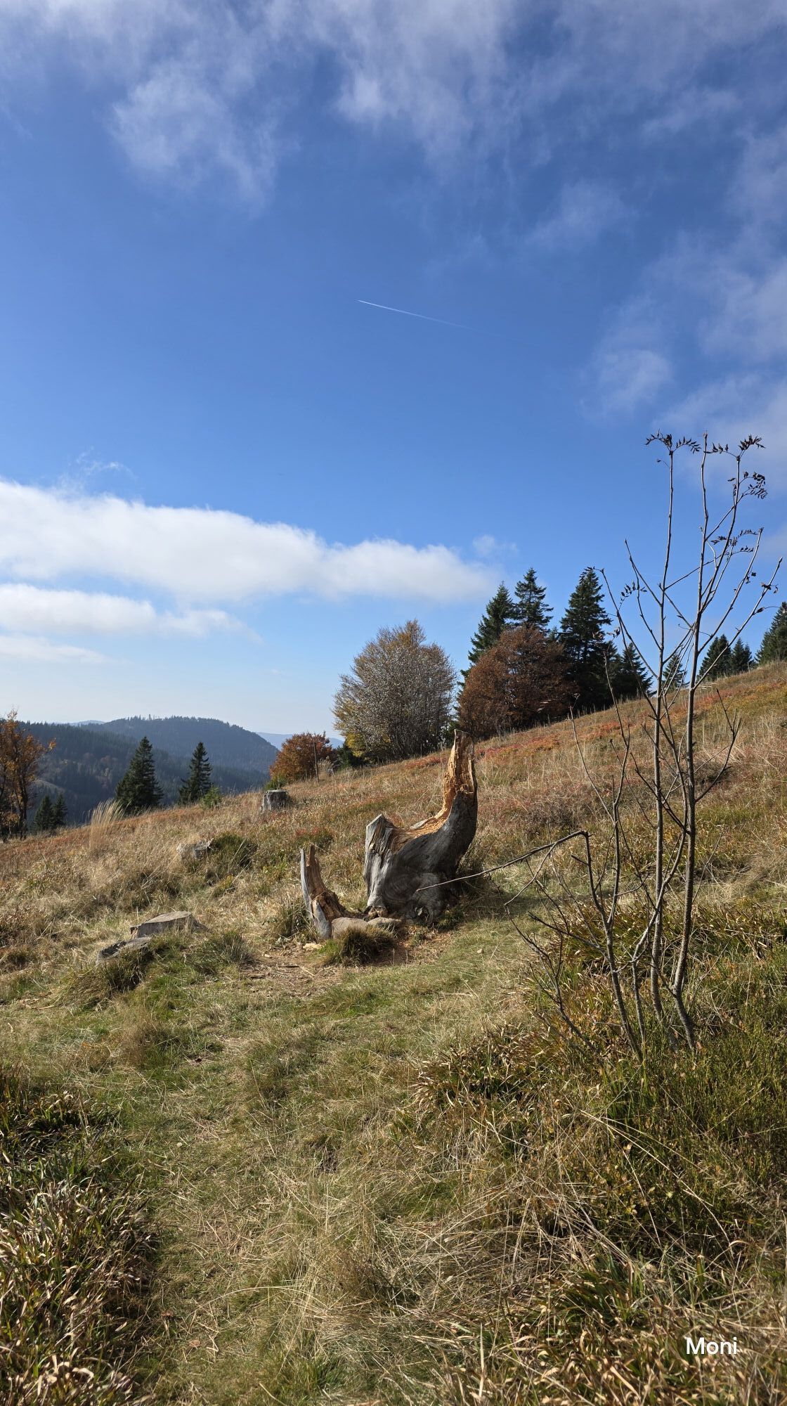
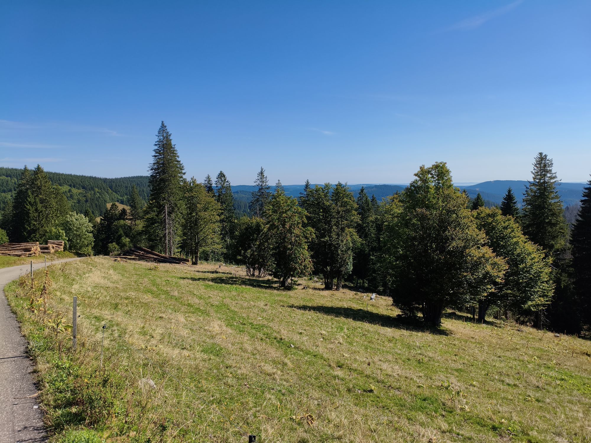
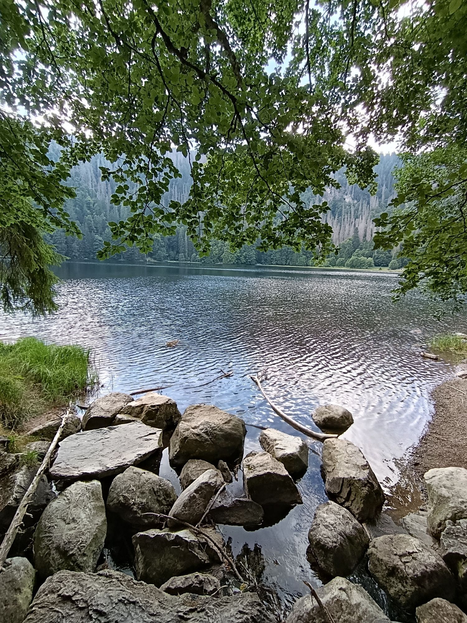
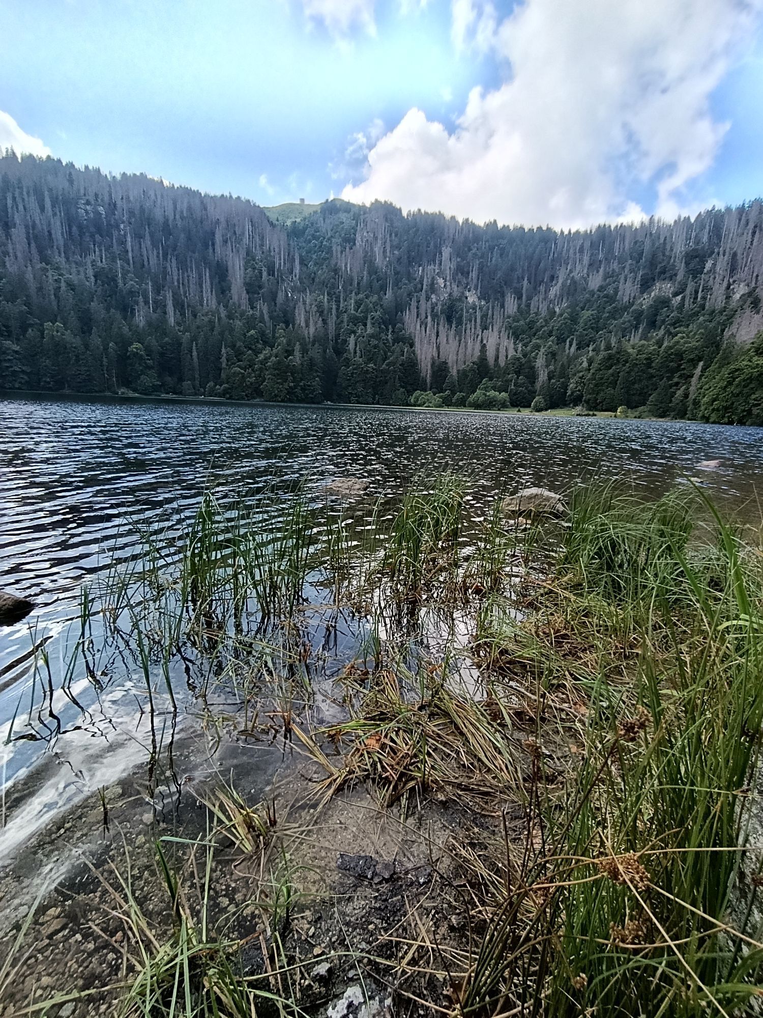
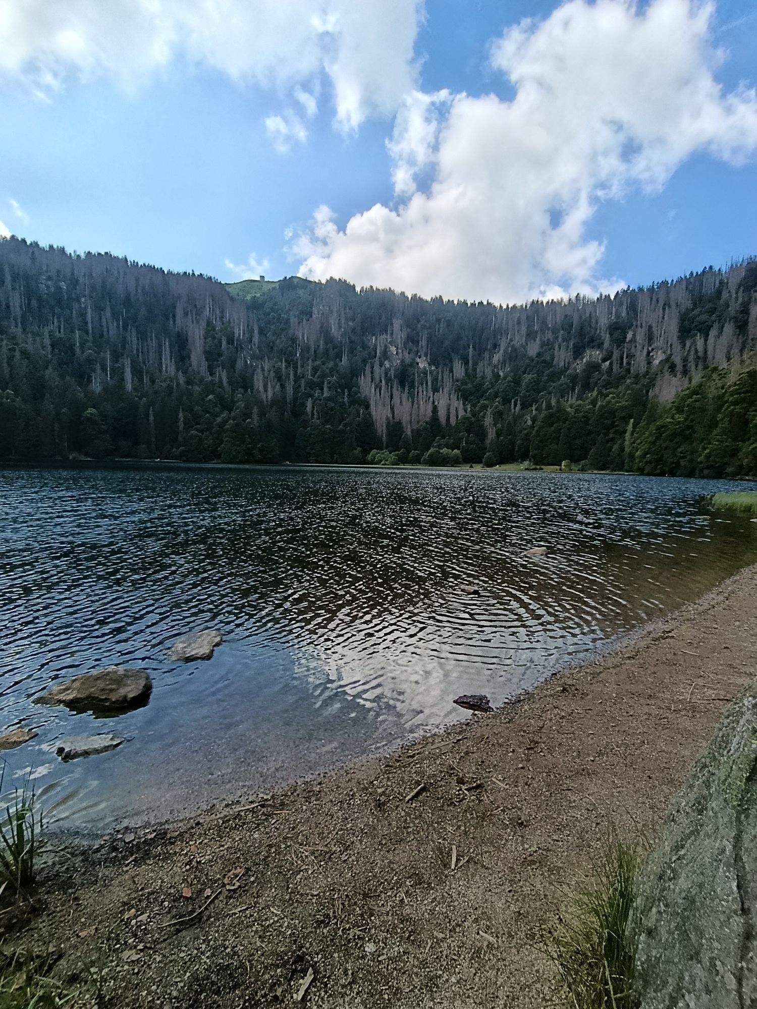
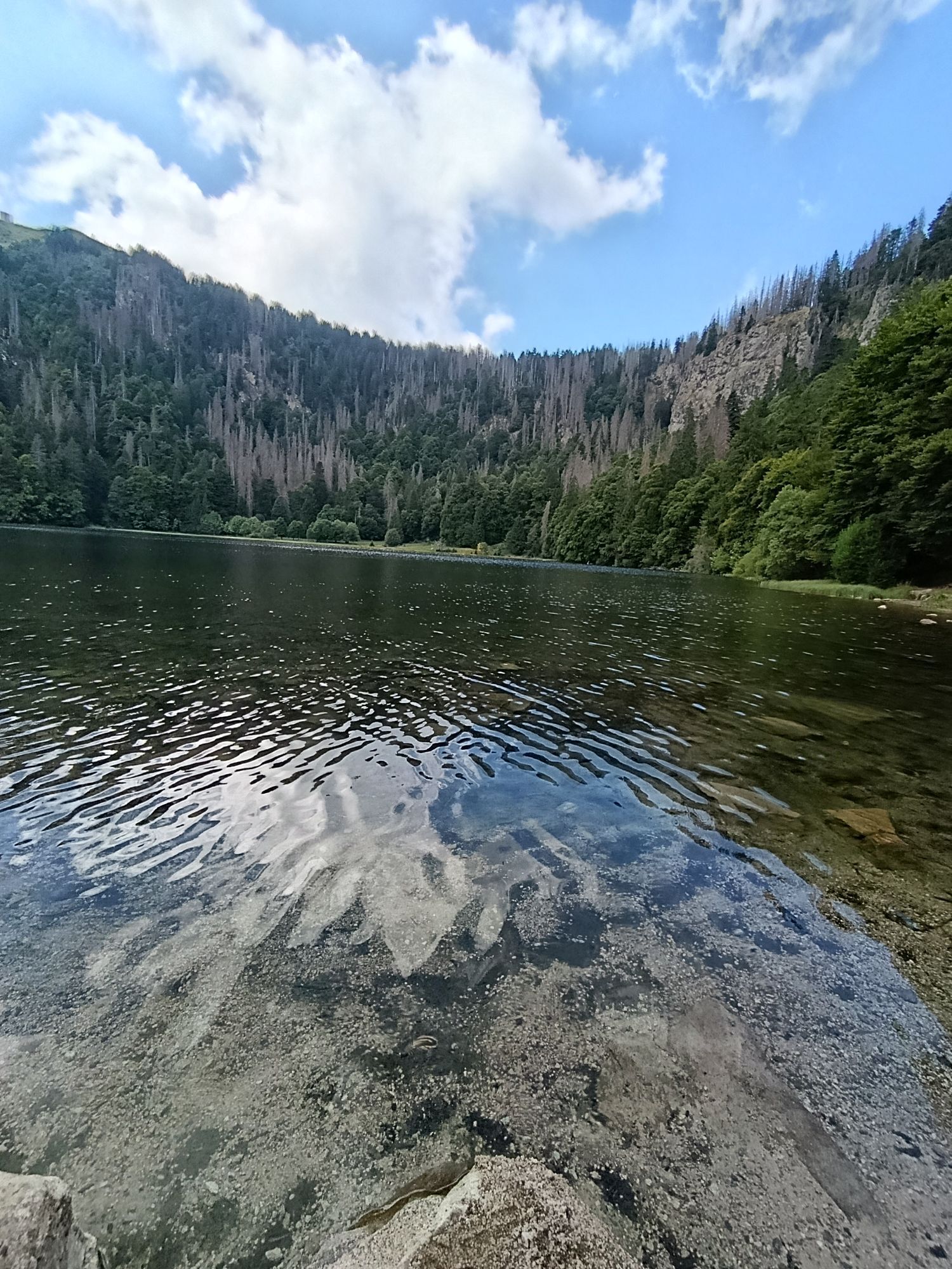
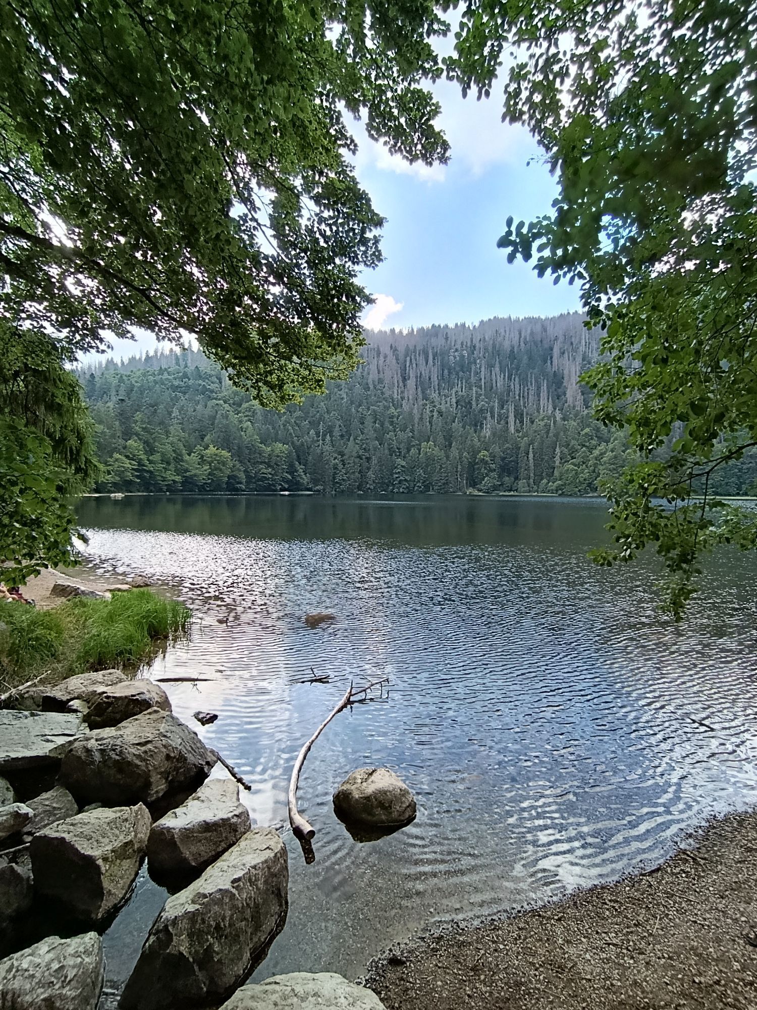
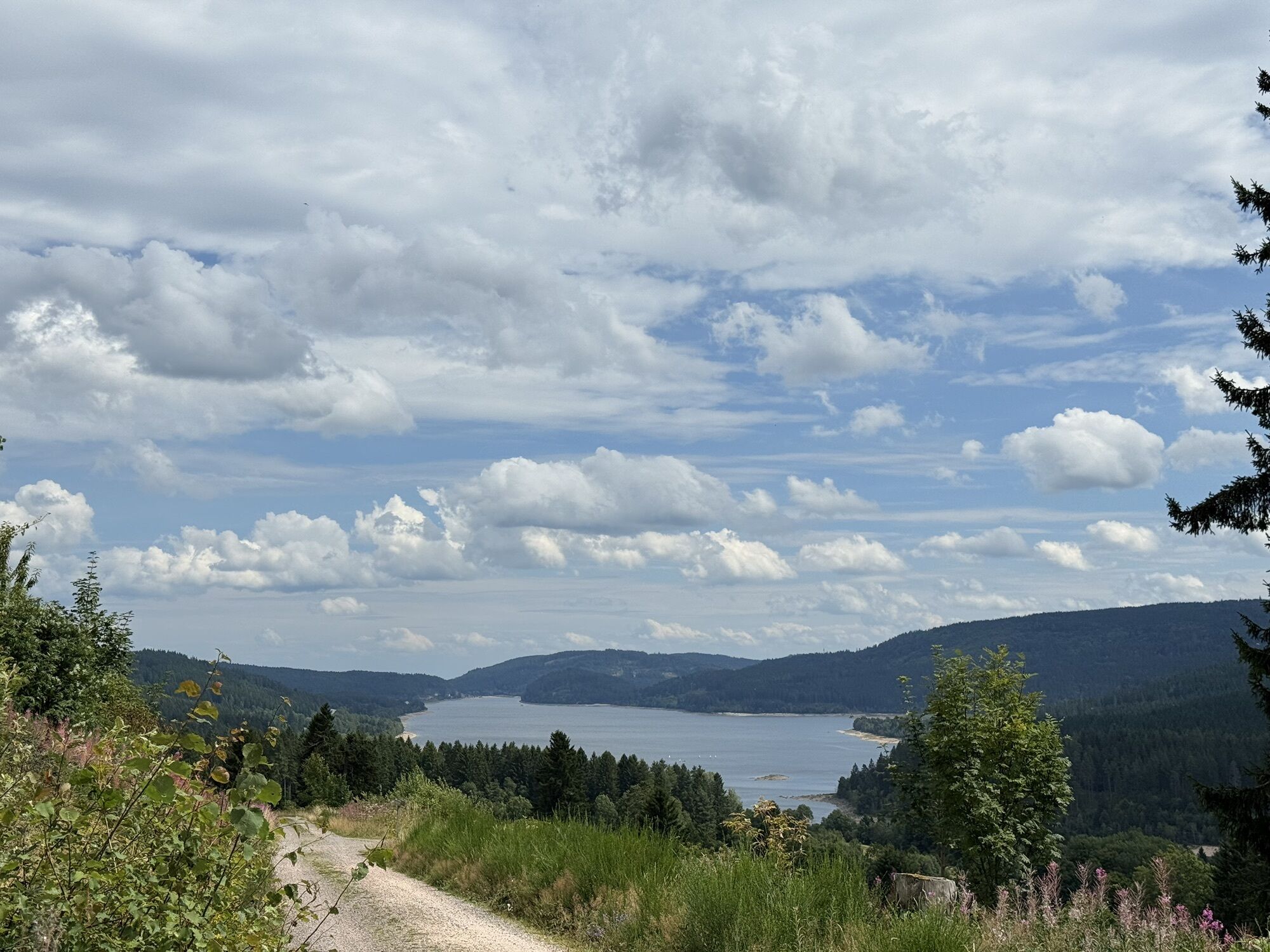
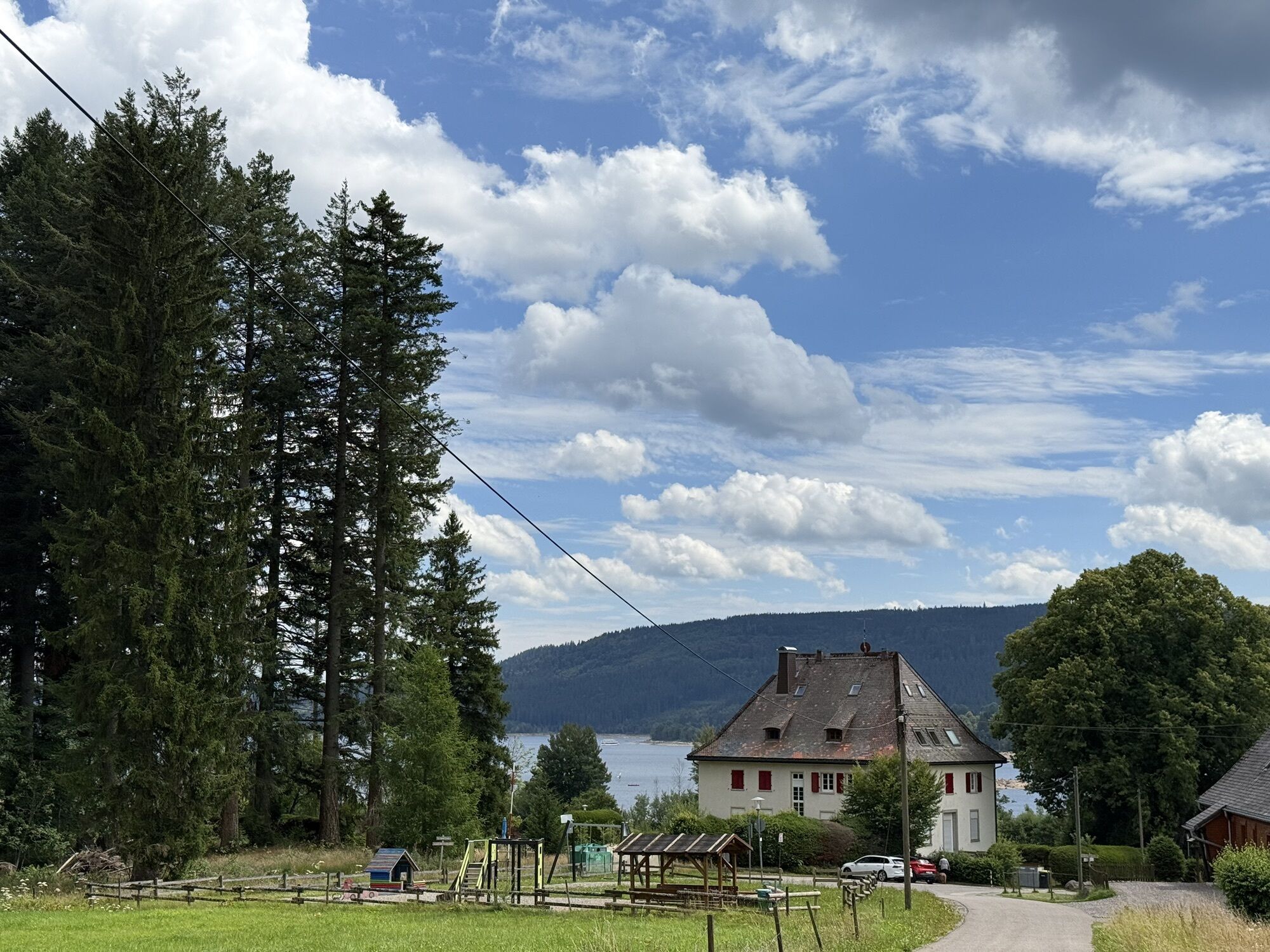
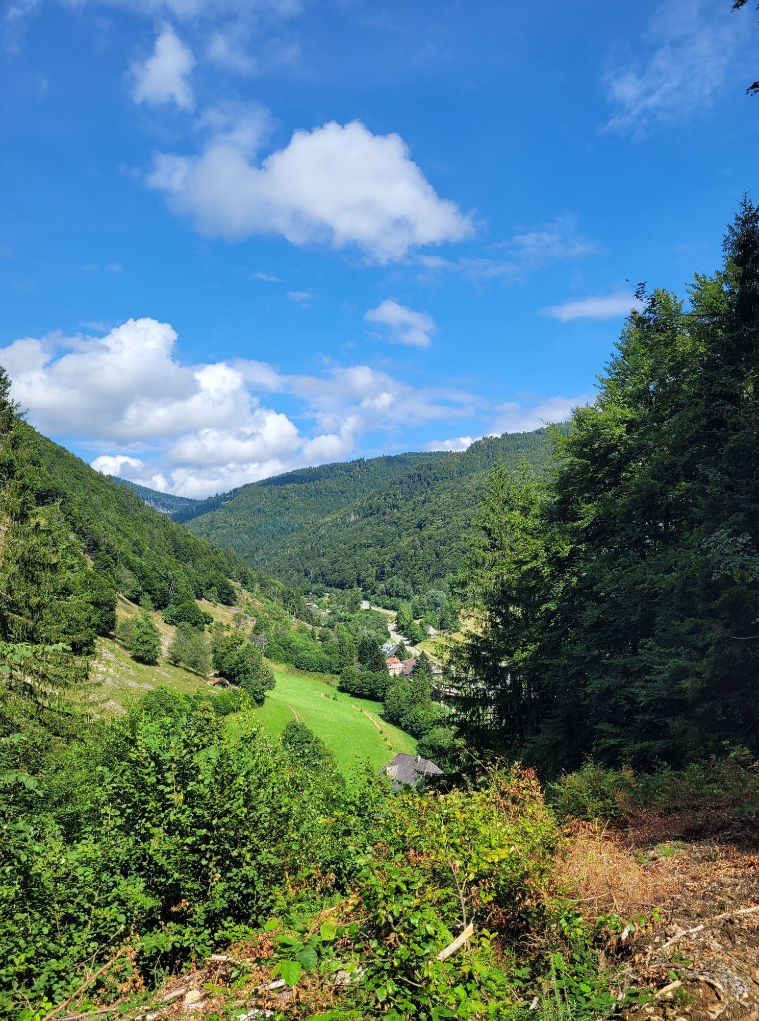
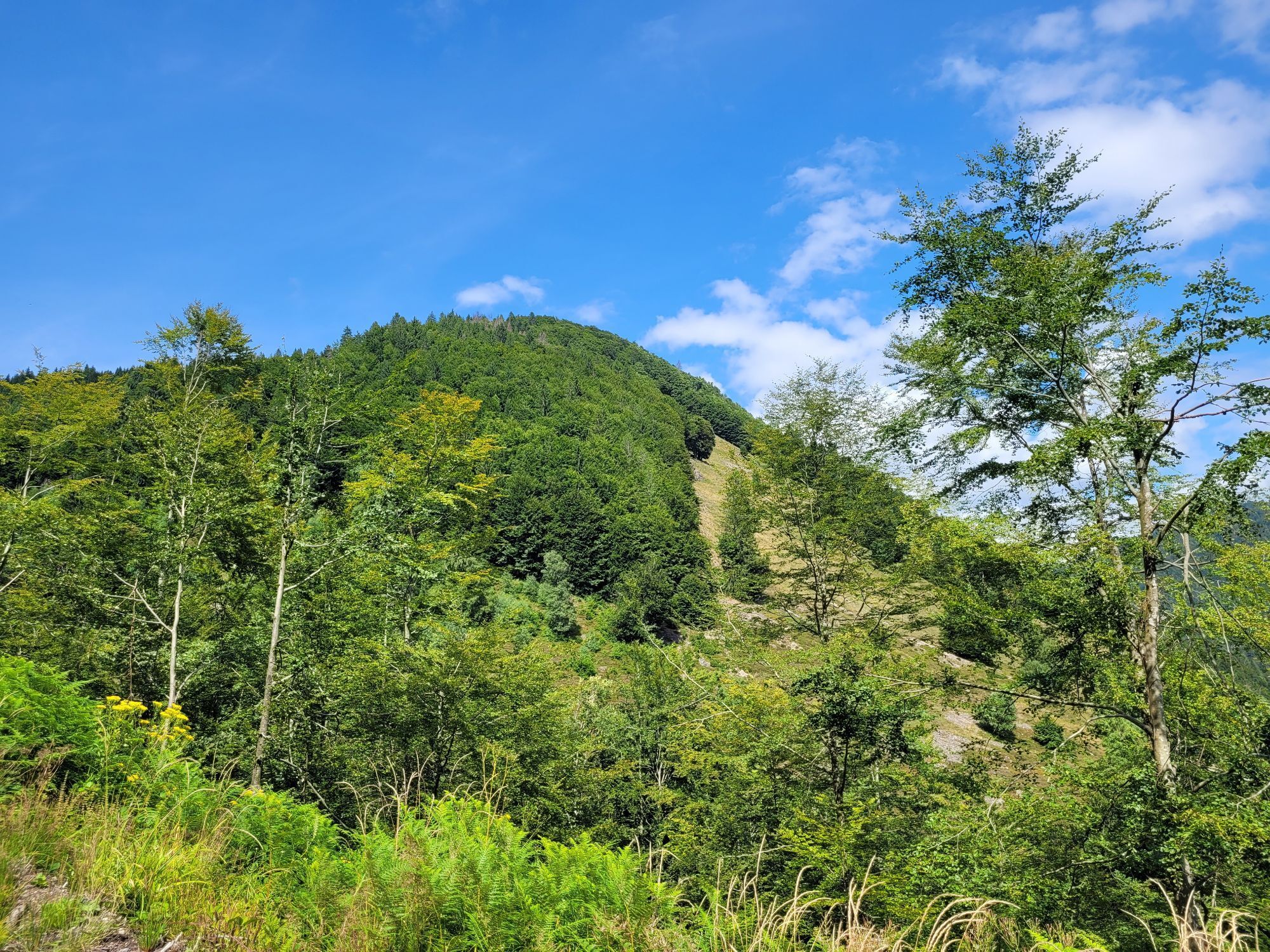
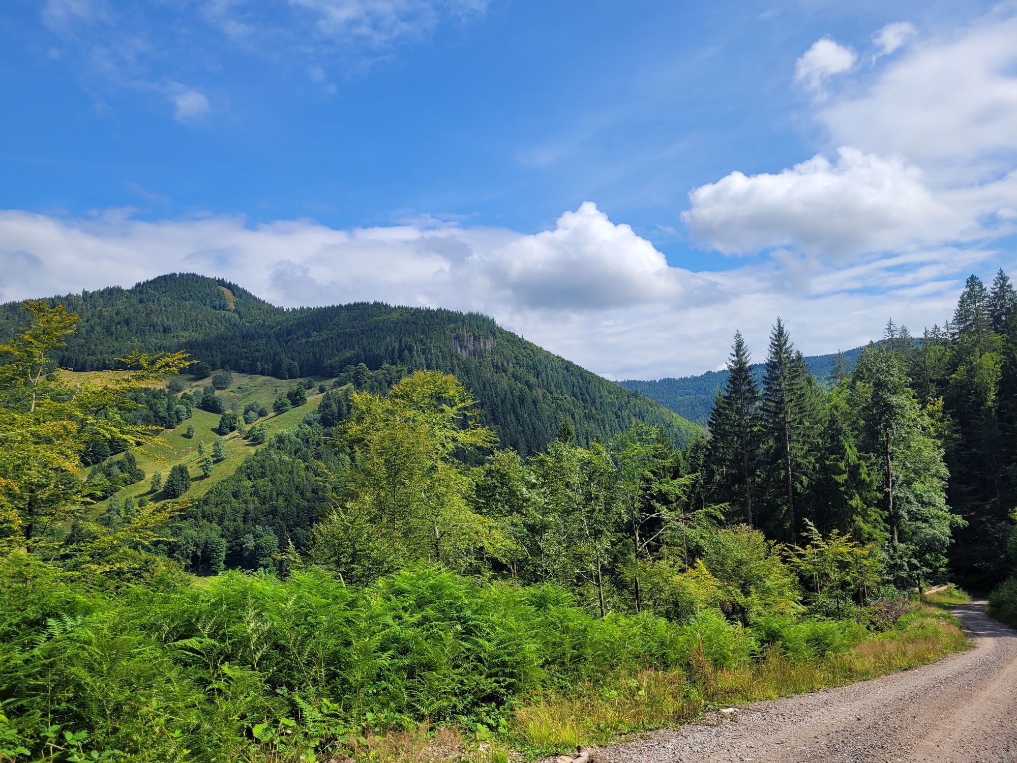
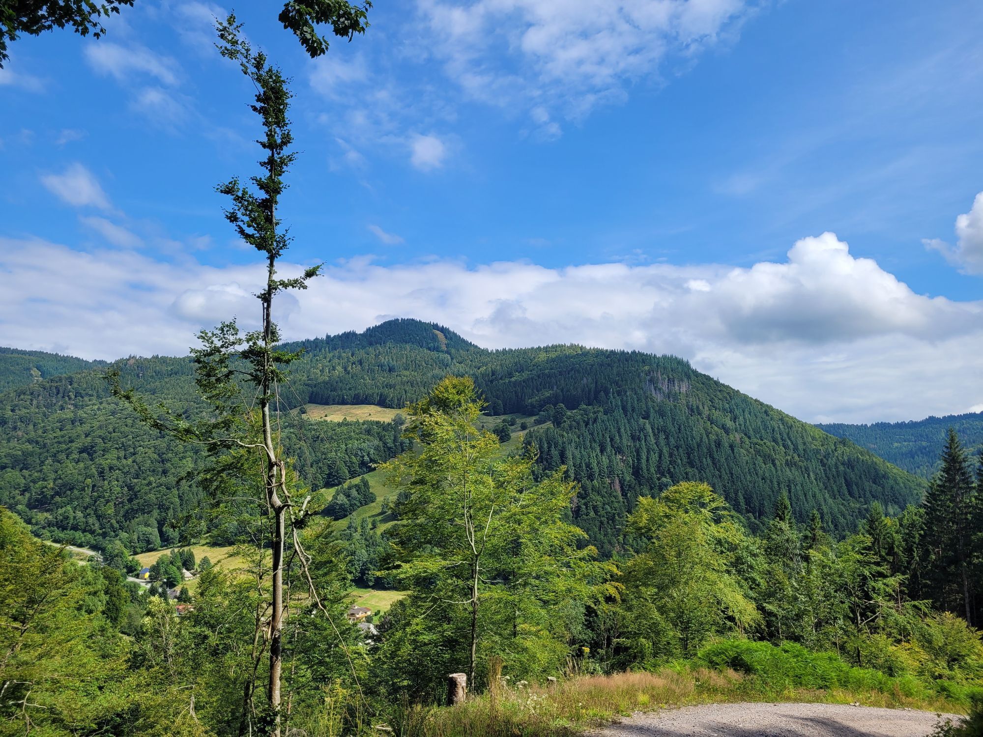
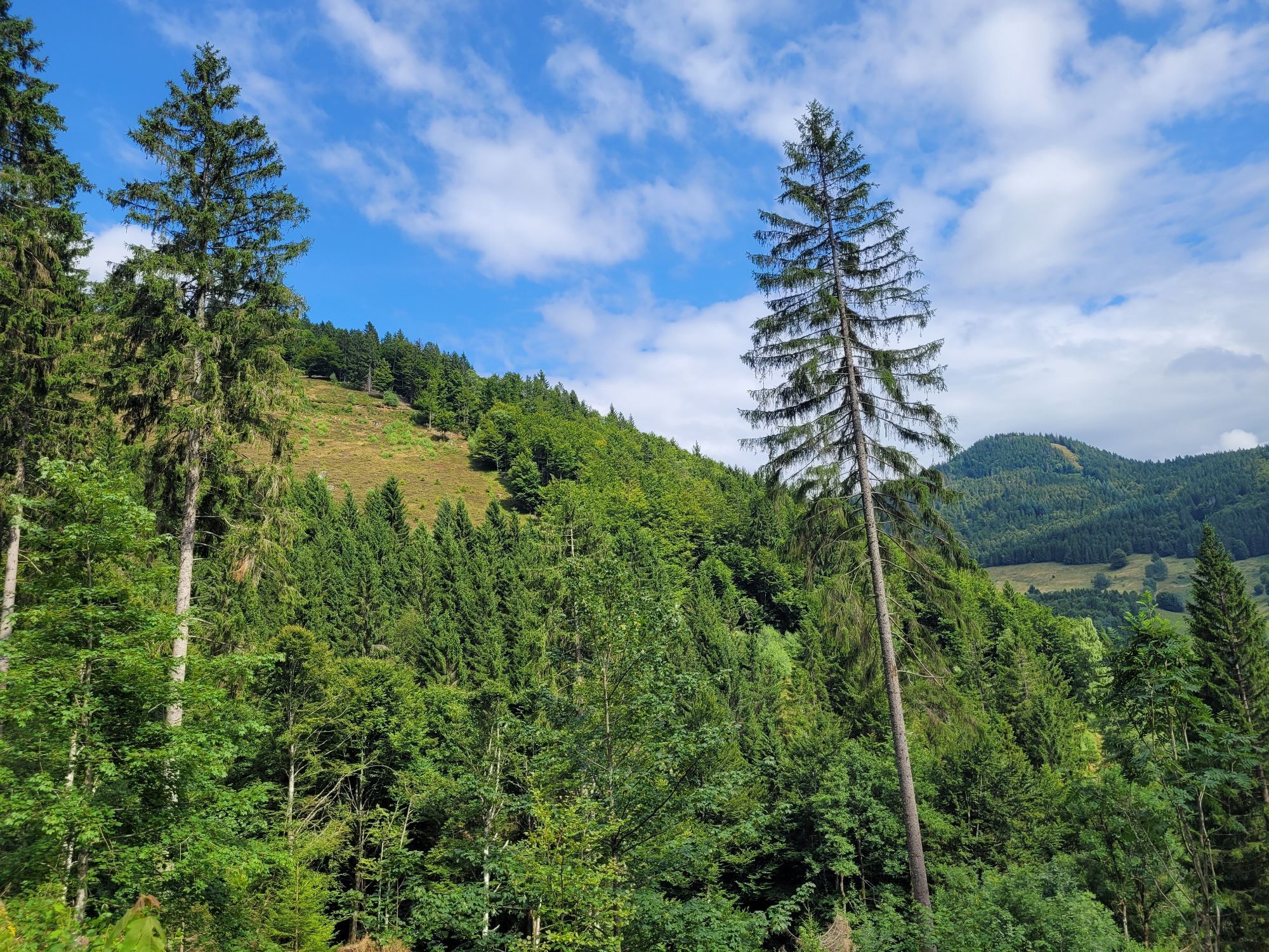
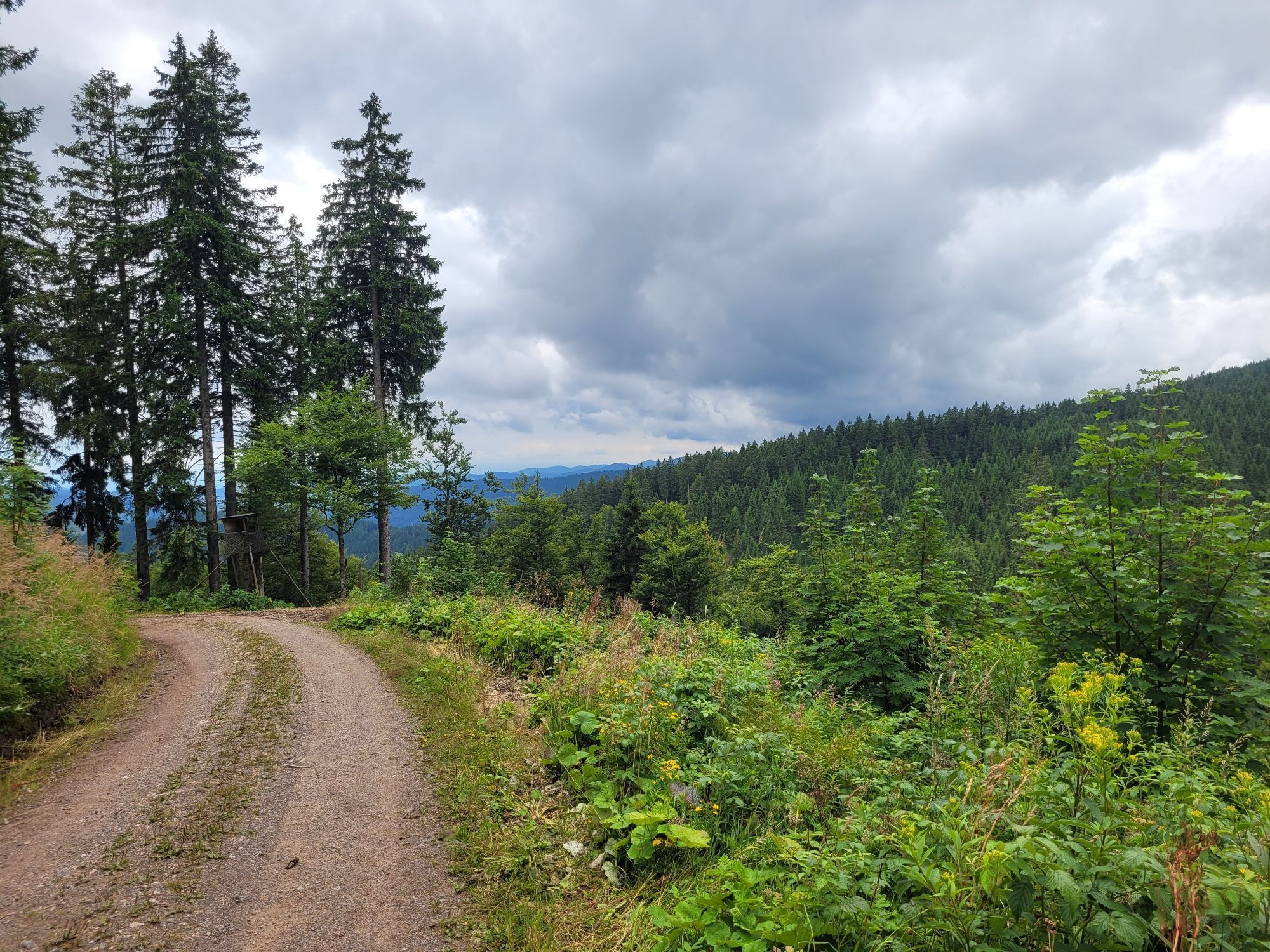
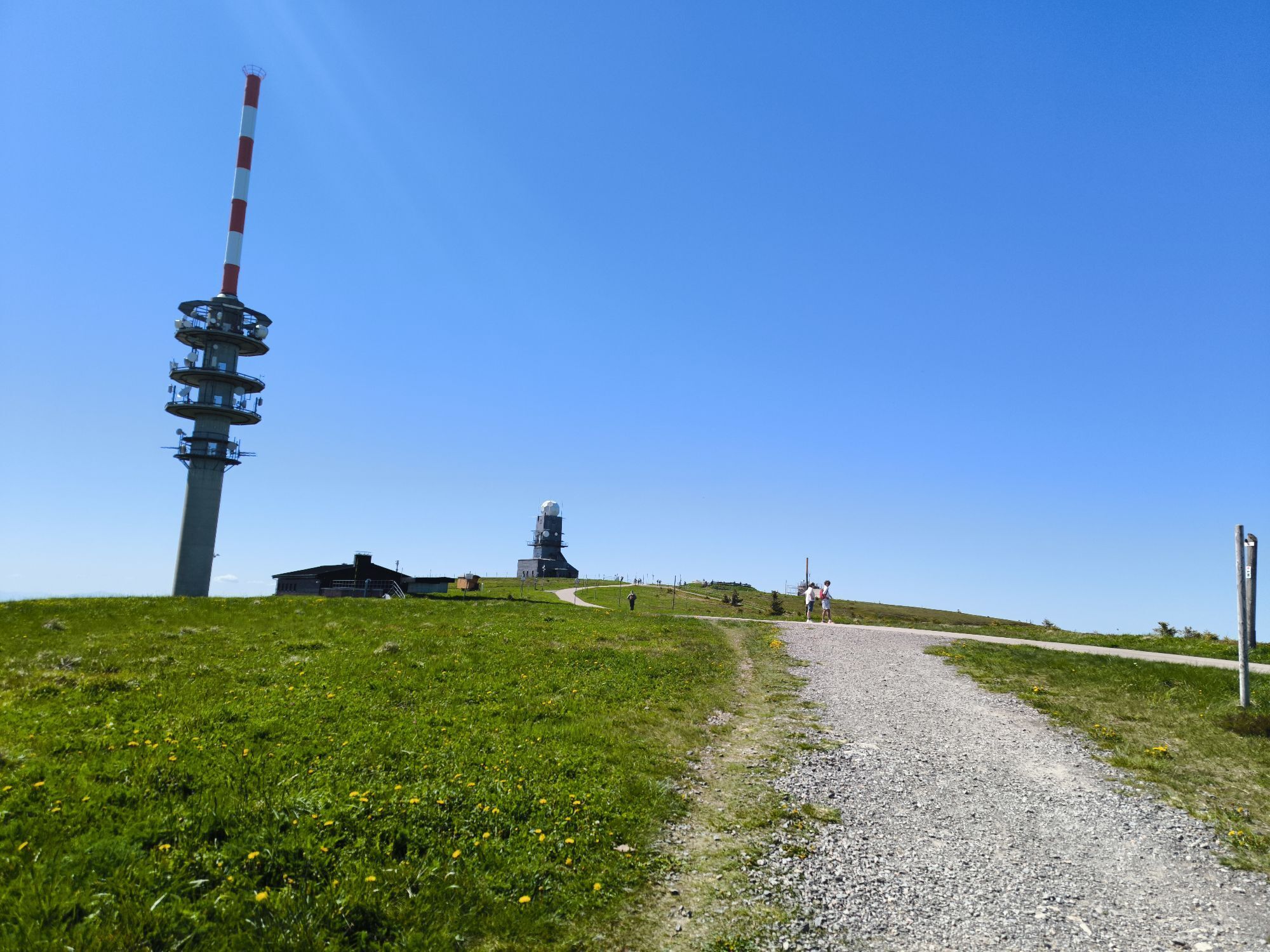
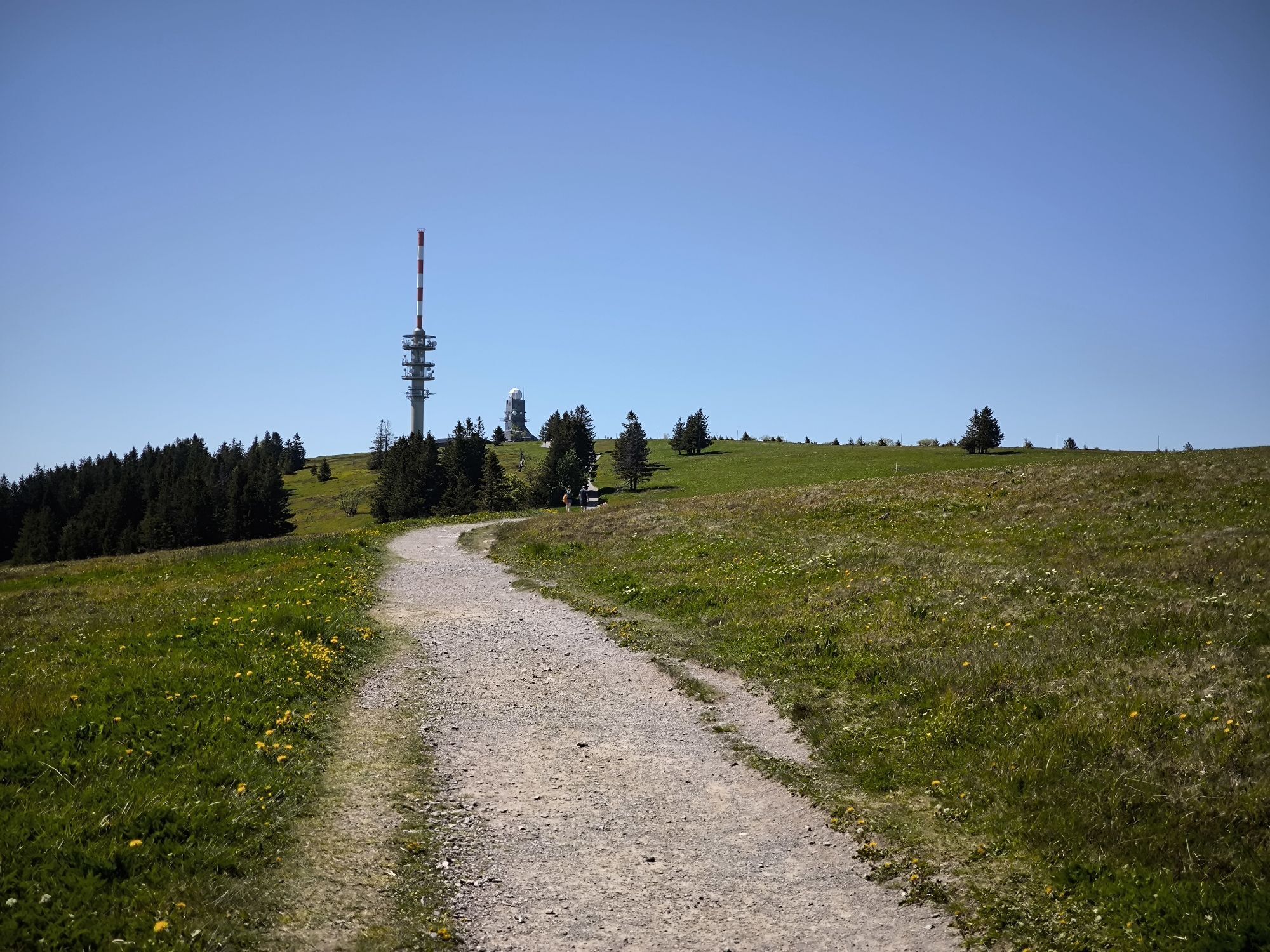
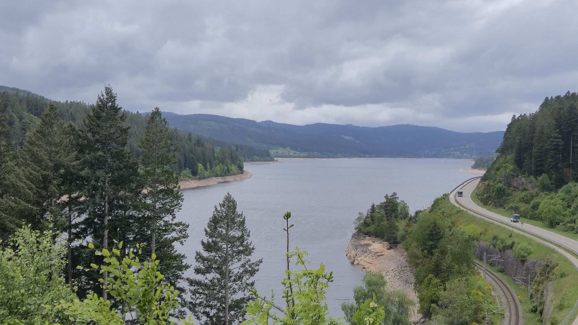
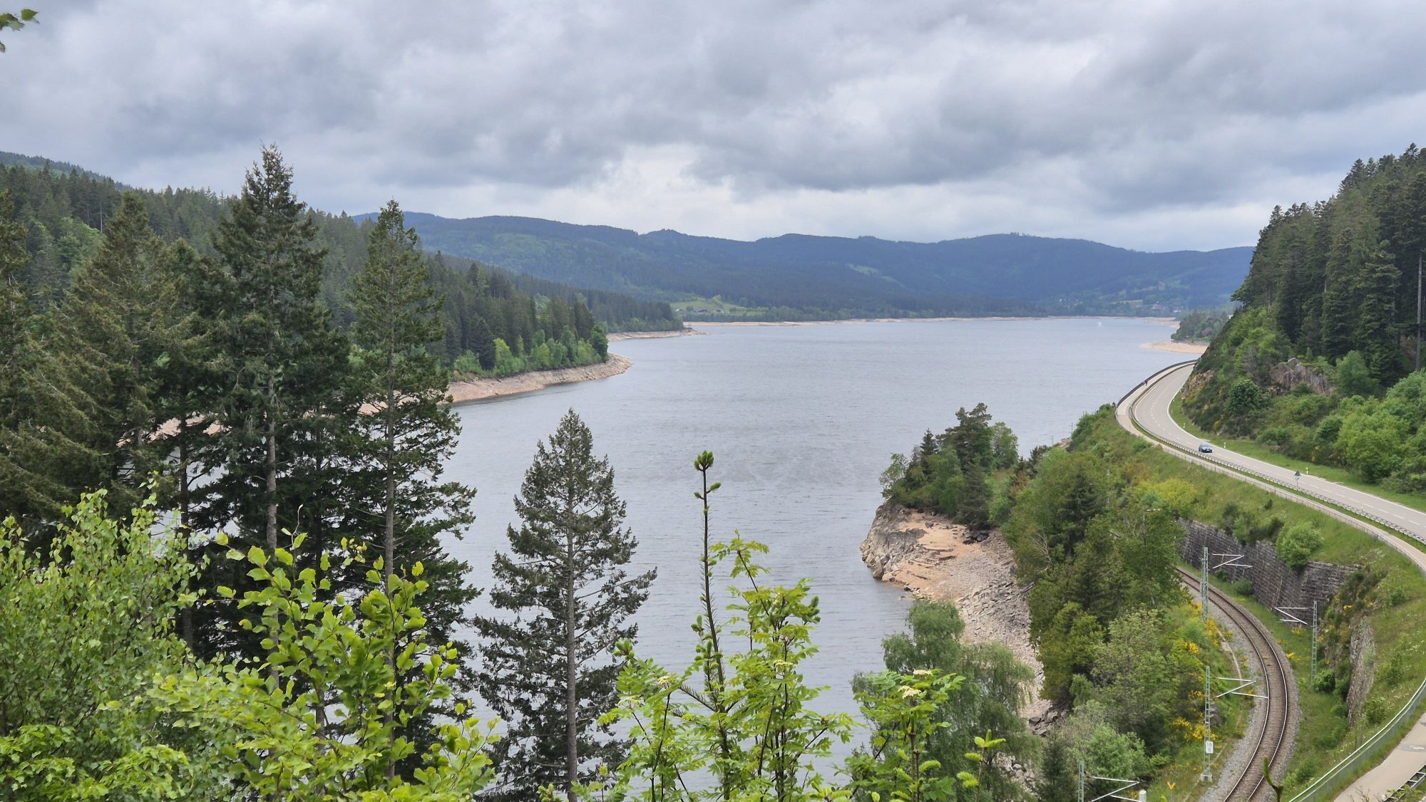
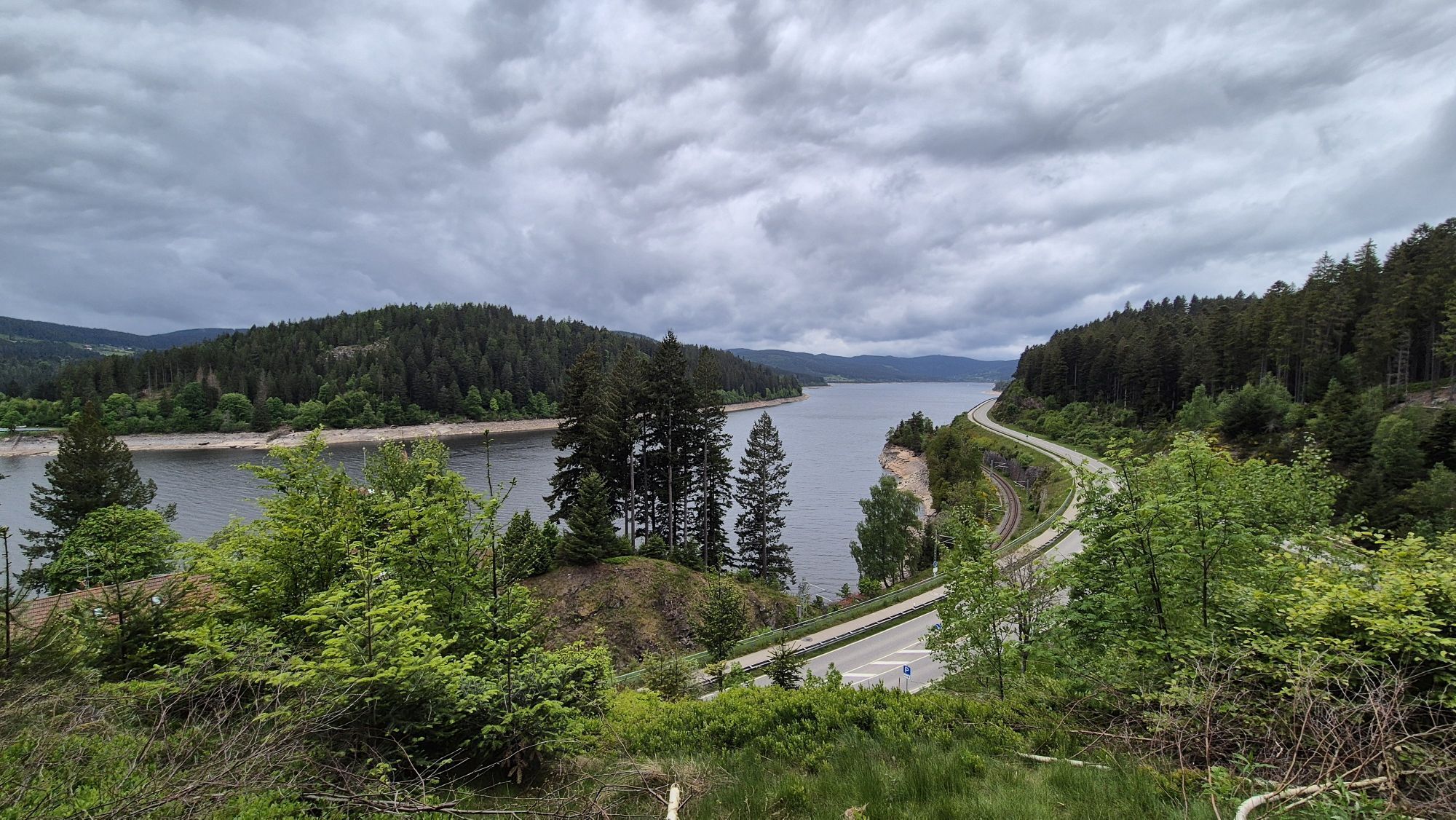
The route starts and ends in the mountain sports town of Todtnau. Ski World Cups have already taken place here, and the bike park in Todtnau is the first in Germany. However, cycling here is also appealing...
The route starts and ends in the mountain sports town of Todtnau. Ski World Cups have already taken place here, and the bike park in Todtnau is the first in Germany. However, cycling here is also appealing outside the bike park, and with the gravel bike you can fully exploit the potential of the region!

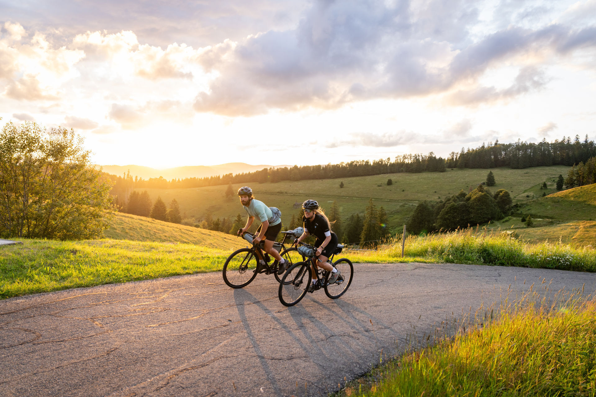
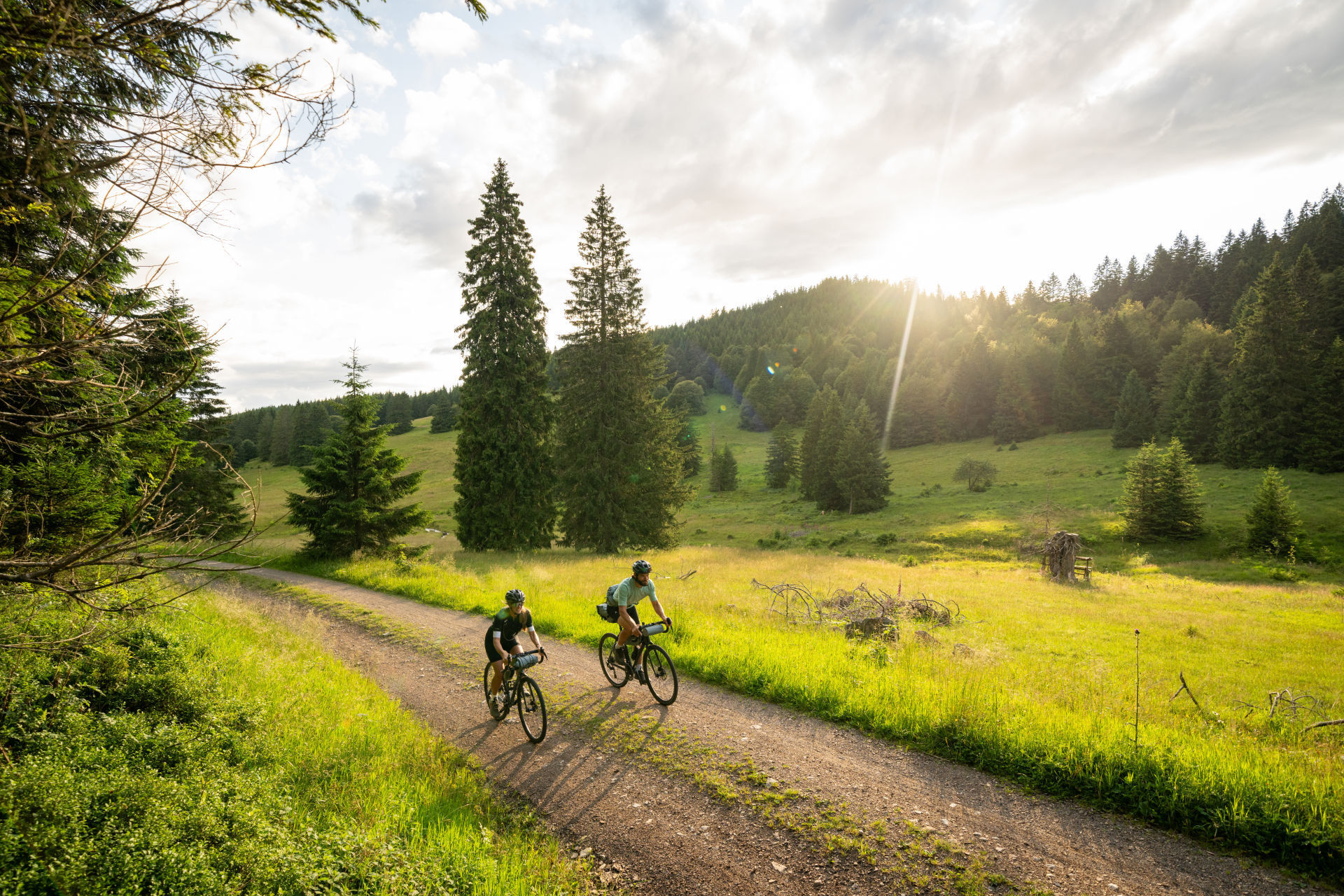
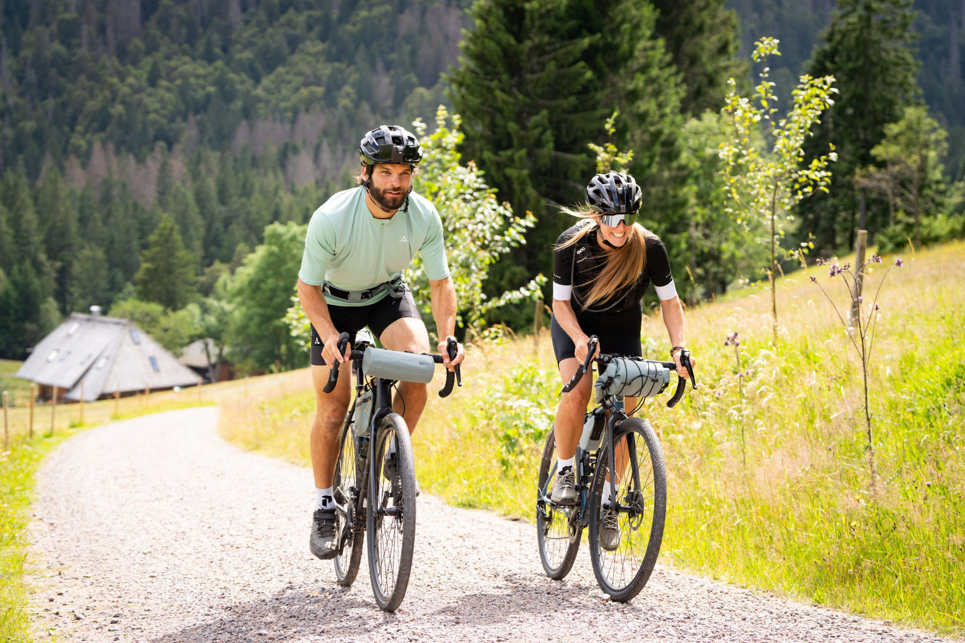

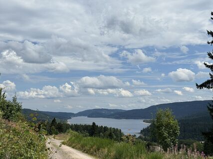
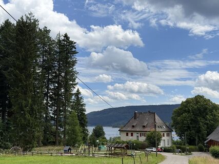
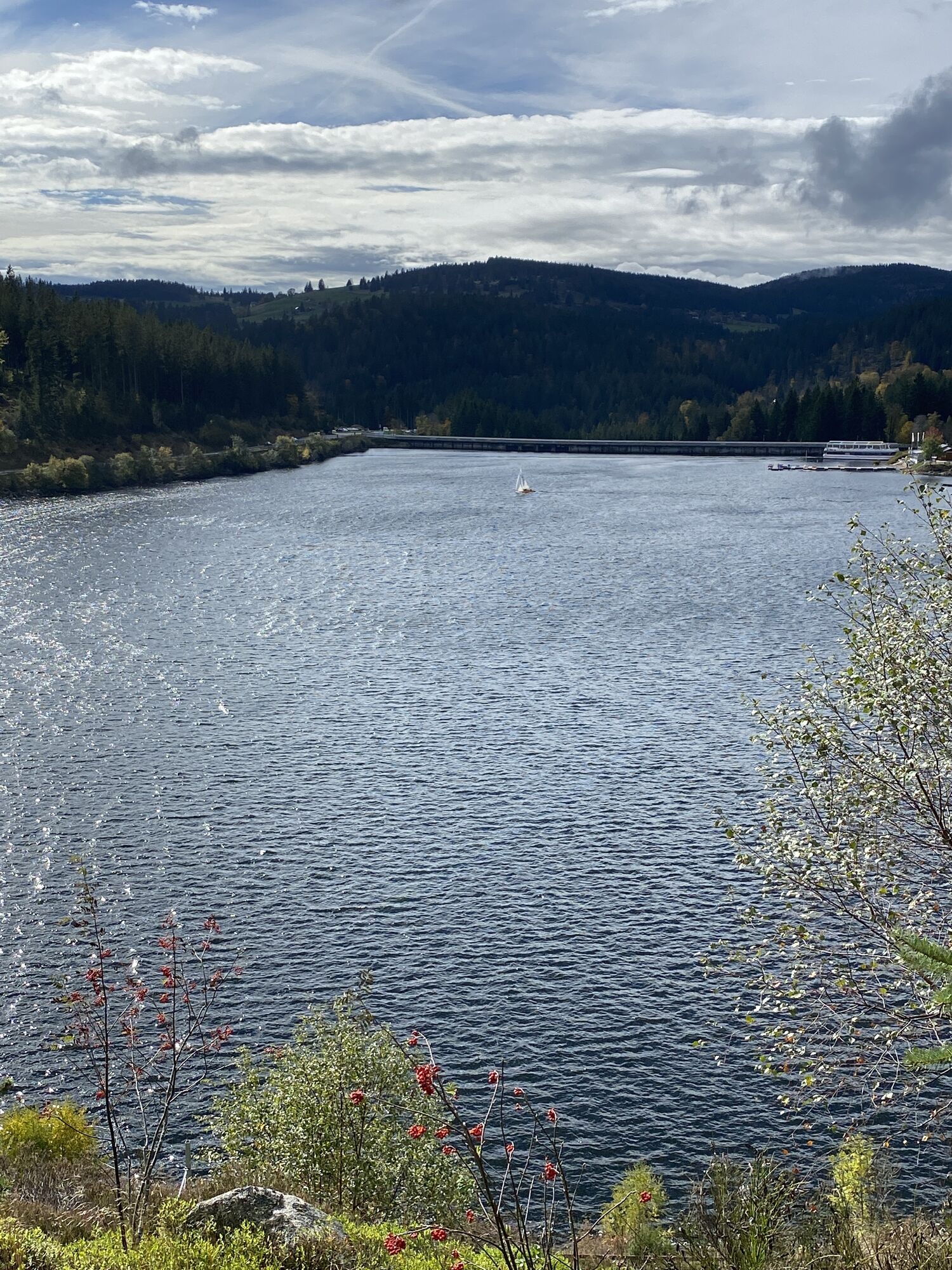
The route starts and ends in the mountain sports town of Todtnau. It starts easy and gently downhill before going uphill for the first time at Geschwend. The first ascent is mainly paved, but the road is hardly trafficked. Past the mountain inn Gisiboden, you soon reach the Herzogenhorn performance center. The first descent over the Feldbergpass down to the Schluchsee awaits you. Once at the bottom, the packed swimsuit is worth it, and after the jump into the lake, you can take a break at the Unterkrummenhof. Then it continues around the Schluchsee to turn off to Fischbach in the town of Schluchsee itself and shortly after pass the beautiful natural swimming area of the Windgfällweiher. The way on to Bärental is flat before it then climbs up to Feldsee, past Raimartihof and finally steeper again up to the Feldberg summit. At the summit, the highest point is reached and from here it rolls back relaxedly to Todtnau.
Da
Pack your swimsuit and enjoy regional delicacies in one of the mountain huts.
Spletne kamere s turneje
-
Feldbergturm Seebuck Gipfel
-
Todtnauberg - Pension Glöcklehof
-
Feldberg - Falkau
-
Feldberg - Grafenmatt I
-
Altglashütten - Schwarzenbachlift
-
Todtnau - Aftersteg
-
Todtnau - Aftersteg
-
Seebuck Bergstation
-
Todtnauberg - Bucklift
-
Seebuck Talstation
-
Hofeck Talstation
-
Talstation Winkellift
-
Skilift Fischbach
-
Schluchsee - Rathaus
-
Schluchsee - Wiesengrundpark
-
Hinterzarten - Ferienhaus Carola
-
Hinterzarten - Adlerschanze
-
Hinterzarten - Adler-Skistadion
-
Feldberg - Opelhaus
-
Menzenschwander Hütte - Feldberg
-
Menzenschwand Hinterdorf
-
Bergstation Mösle - Menzenschwand
-
Skilift Schwinbach - Menzenschwand
-
Radon Revital Bad - Menzenschwand
-
Skilift Rehbach - Menzenschwand
-
Menzenschwander Hütte - Feldberg
-
Skilifte Stollenbach
-
Schönau im Schwarzwald
-
Stollenbach
-
Todtnauer Hütte
-
Titisee - Fewo Titiseeblick
-
Feldberg - Altglashütten
-
Feldberg - Fahl
-
Rothaus - Brauerei
-
Rothaus - Sudhaus
-
Rothaus - Biergarten
-
Todtnauberg
Pridobite vpogled
Vedno v živo na mestu z več kot 9.500 spletnimi kamerami. bergfex Kot uporabnik Pro si lahko zdaj ogledate ustrezne spletne kamere za številne izlete v aplikaciji izleti iz. Tako si lahko neposredno ogledate trenutne razmere.
Priljubljeni izleti v okolici
-
4.7
Black Forest Highlands heritage trail - mills and saws in the gorge
srednjaPohodništvo 7.42 km -
3.7
Seerundweg Titisee
svetlobaPohodništvo 5.84 km -
4.1
Höhenklimaweg Titisee-Rundweg
srednjaPohodništvo 7.44 km -
3.7
From Titisee to the Hochfirst with its stunning views
srednjaPohodništvo 10.6 km -
3.8
Premium Hiking Trail- Säbelthomaweg
srednjaTematska pot 10.9 km -
4.0
Altitude on the Herzogenhorn
srednjaPohodništvo 11.1 km -
3.7
Rundweg zum Todtnauer Wasserfall
svetlobaPohodništvo 6.06 km -
4.3
Mystical path to the Mathisleweiher pond
srednjaPohodništvo 8.94 km -
5.0
Premium Hiking Trail - Menzenschwander Geißenpfad
srednjaTematska pot 10.3 km -
4.8
Sonnenaufgang und Feldbergsteig
srednjaPohodništvo 11.6 km

Pohodništvo in sledenje


Ne zamudite ponudb in navdiha za naslednje počitnice
Vaš e-poštni naslov je bil dodan na poštni seznam.





