


Breitnau high tour
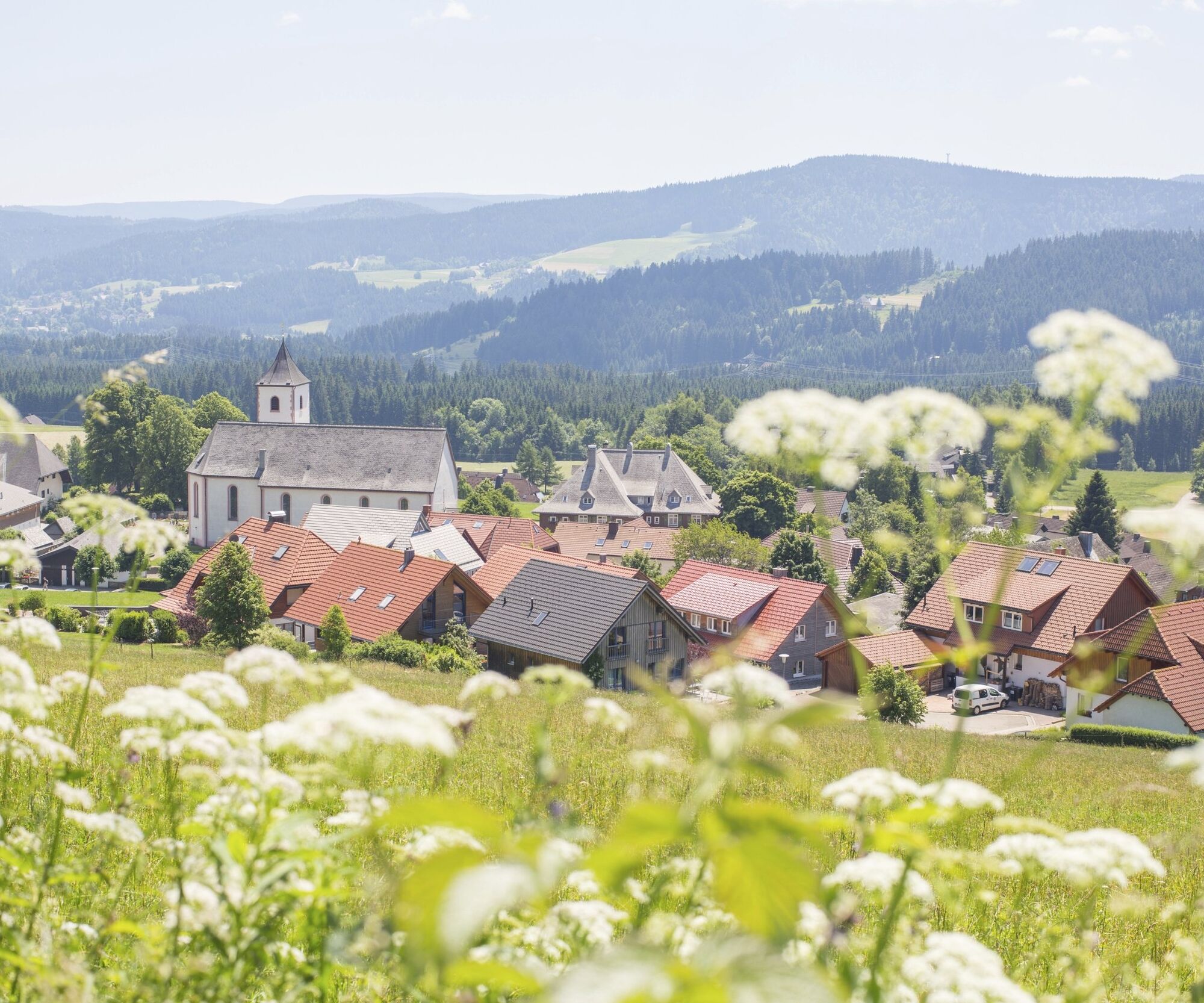
Your tour starts in Breitnau at the tourist information centre. From there, the trail leads you past typical Black Forest farms into the picturesque Hinterdorf. At the wind turbine, turn off to Hohwart...
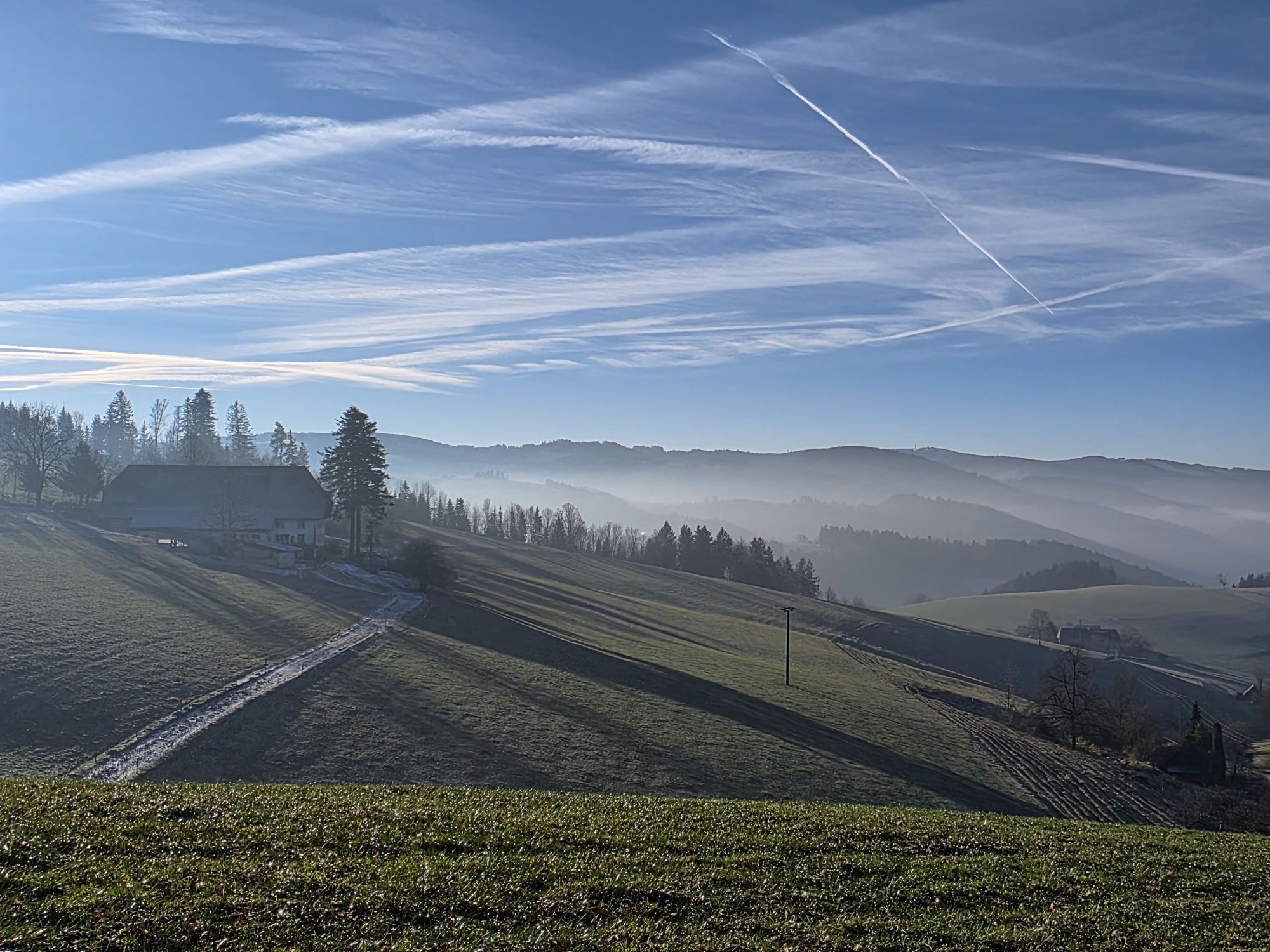
Your tour starts in Breitnau at the tourist information centre. From there, the trail leads you past typical Black Forest farms into the picturesque Hinterdorf. At the wind turbine, turn off to Hohwart with its unmistakable panoramic view, take the path through Griesdobel towards Buchenbach and enjoy the legendary descent on a gravel track.
You briefly follow the road to Wagensteig. In Wagensteig, cross the road and ride up the moderate climb to the Wirtshäusle inn. From there, the route takes you on a gentle climb to St. Märgen, where you have completed half of the route. The tour now continues to the Thurner. With marvellous views to the south, you reach Hohlengraben, where you cross the B500 and follow the Westweg (red diamond) towards Fahrenberger Höhe to Land-Sitz and on to Weißtannenhöhe.
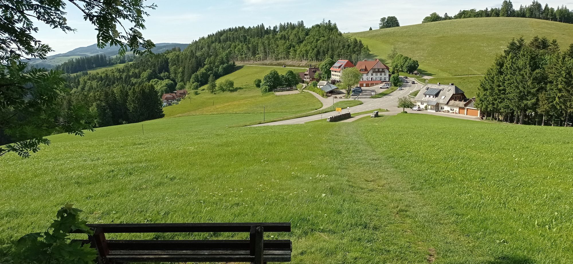
From here it's downhill to Breitnau-Tiefen. The tarmac road takes you to the B500, where you cross the road and let the tour roll out on the village road towards Breitnau.


Your tour starts in Breitnau at the tourist information centre. From there, the trail leads past typical Black Forest farms into the picturesque Hinterdorf. At the wind turbine, turn off to Hohwart with its unmistakable panoramic view, take the path through Griesdobel towards Buchenbach and enjoy the legendary descent on a gravel track.
You briefly follow the road to Wagensteig. In Wagensteig, cross the road and ride up the moderate ascent to the Wirtshäusle inn. From there, the route takes you on a gentle climb to St. Märgen, where you have completed half of the route. The tour now continues to the Thurner. With marvellous views to the south, you reach Hohlengraben, where you cross the B500 and follow the Westweg (red diamond) towards Fahrenberger Höhe to Land-Sitz and on to Weißtannenhöhe.
From here it's downhill to Breitnau-Tiefen. The tarmac road takes you to the B500, where you cross the road and let the tour roll out on the village road towards Breitnau.
Da
We recommend wearing a helmet.
at the church
Abkürzen ist möglich mit dem Zug von Himmelreich nach Hinterzarten.
Priljubljeni izleti v okolici
- 4,7
Black Forest Highlands heritage trail - mills and saws in the gorge
srednjaPohodništvo 7,42 km - 3,7
Seerundweg Titisee
svetlobaPohodništvo 5,84 km - 4,4
Through the mystical Bannwald forest to the Zweribach Waterfall
srednjaPohodništvo 12,3 km - 3,9
From Titisee to the Hochfirst with its stunning views
srednjaPohodništvo 10,6 km - 4,1
Höhenklimaweg Titisee-Rundweg
srednjaPohodništvo 7,44 km - 3,8
Premium Hiking Trail- Säbelthomaweg
srednjaTematska pot 11,3 km - 4,0
Altitude on the Herzogenhorn
srednjaPohodništvo 11,1 km - 4,8
Sonnenaufgang und Feldbergsteig
srednjaPohodništvo 11,6 km - 5,0
Premium Hiking Trail - Menzenschwander Geißenpfad
srednjaTematska pot 9,78 km - 4,3
Mystical path to the Mathisleweiher pond
srednjaPohodništvo 8,94 km
Pohodništvo in sledenje


Ne zamudite ponudb in navdiha za naslednje počitnice
Vaš e-poštni naslov je bil dodan na poštni seznam.