


Westweg: stage 04 (Unterstmatt - Alexanderschanze)
Fotografije naših uporabnikov
-

 © Christian Schaefer 2Ustvarjeno na 05.02.2026
 -
 © Christian Schaefer 2Ustvarjeno na 05.02.2026
 -
 © Christian Schaefer 2Ustvarjeno na 05.02.2026
 -
 © Christian Schaefer 2Ustvarjeno na 05.02.2026
 -
 © Christian Schaefer 2Ustvarjeno na 05.02.2026
 -
 © Christian Schaefer 2Ustvarjeno na 05.02.2026
 -

 © Michel KennelUstvarjeno na 22.01.2026
 -
 © Michel KennelUstvarjeno na 22.01.2026
 -
 © Michel KennelUstvarjeno na 22.01.2026
 -
 © Michel KennelUstvarjeno na 22.01.2026
 -
 © Michel KennelUstvarjeno na 22.01.2026
 -
 © Michel KennelUstvarjeno na 22.01.2026
 -
 © DominikUstvarjeno na 04.01.2026
 -
 © DominikUstvarjeno na 04.01.2026
 -
 © DominikUstvarjeno na 04.01.2026
 -
 © DominikUstvarjeno na 04.01.2026
 -
 © DominikUstvarjeno na 04.01.2026
 -
 © DominikUstvarjeno na 04.01.2026
 -

 © Christian KrebsUstvarjeno na 17.10.2025
 -
 © Christian KrebsUstvarjeno na 16.10.2025
 -
 © Christian KrebsUstvarjeno na 16.10.2025
 -
 © Christian KrebsUstvarjeno na 16.10.2025
 -
 © Christian KrebsUstvarjeno na 16.10.2025
 -
 © Christian KrebsUstvarjeno na 16.10.2025
 -
 © Christian KrebsUstvarjeno na 16.10.2025
 -
 © Christian KrebsUstvarjeno na 16.10.2025
 -
 © Johann HelmingerUstvarjeno na 10.09.2025
 -
 © Holger HUstvarjeno na 06.09.2025
 -
 © Holger HUstvarjeno na 06.09.2025
 -
 © Felix RietzUstvarjeno na 19.08.2025
 -
 © Felix RietzUstvarjeno na 19.08.2025
 -
 © Felix RietzUstvarjeno na 19.08.2025
 -
 © Felix RietzUstvarjeno na 19.08.2025
 -
 © Felix RietzUstvarjeno na 19.08.2025
 -

 © A. HeckUstvarjeno na 09.08.2025
 -
 © Ralf UmmingerUstvarjeno na 19.06.2025
 -
 © Ralf UmmingerUstvarjeno na 19.06.2025
 -

 © Kristina 1Ustvarjeno na 10.05.2025
 -

 © Björn GramppUstvarjeno na 06.05.2025
 -
 © Björn GramppUstvarjeno na 06.05.2025
 -
 © Ralf UmmingerUstvarjeno na 01.05.2025
 -
 © W B MAUstvarjeno na 09.03.2025
 -
 © W B MAUstvarjeno na 09.03.2025
 -
 © Ralf UmmingerUstvarjeno na 31.08.2024
 -
 © Ralf UmmingerUstvarjeno na 04.04.2021
 -
 © Ralf UmmingerUstvarjeno na 04.04.2021
 -
 © Michel KennelUstvarjeno na 04.03.2025
 -
 © Michel KennelUstvarjeno na 04.03.2025

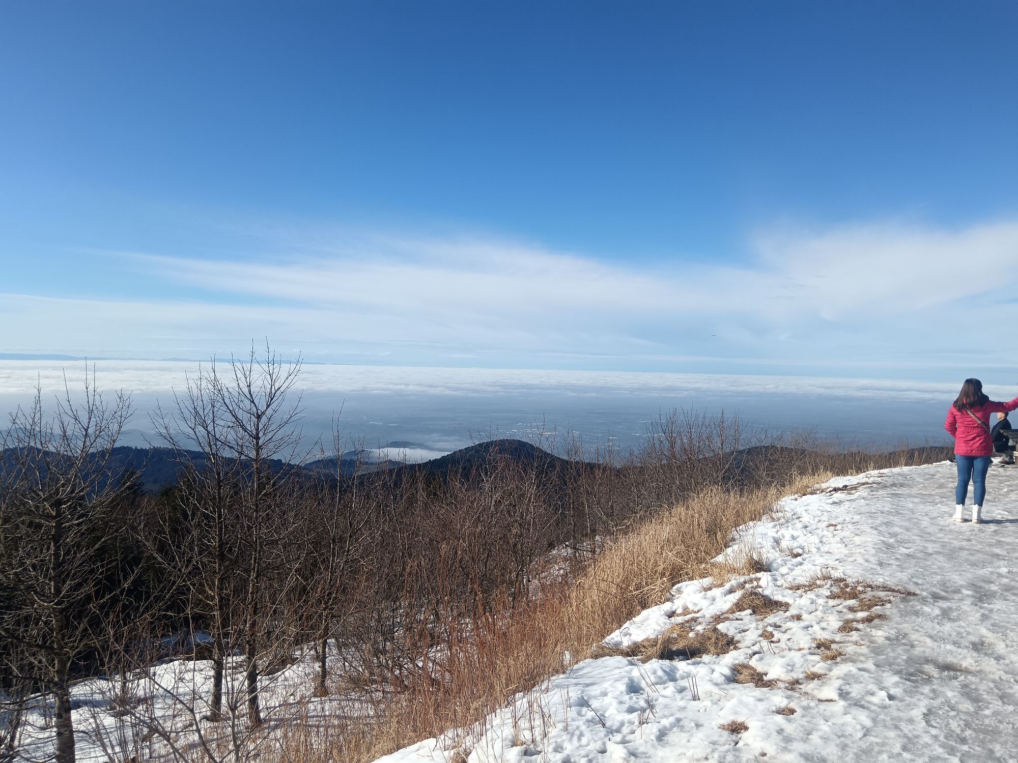

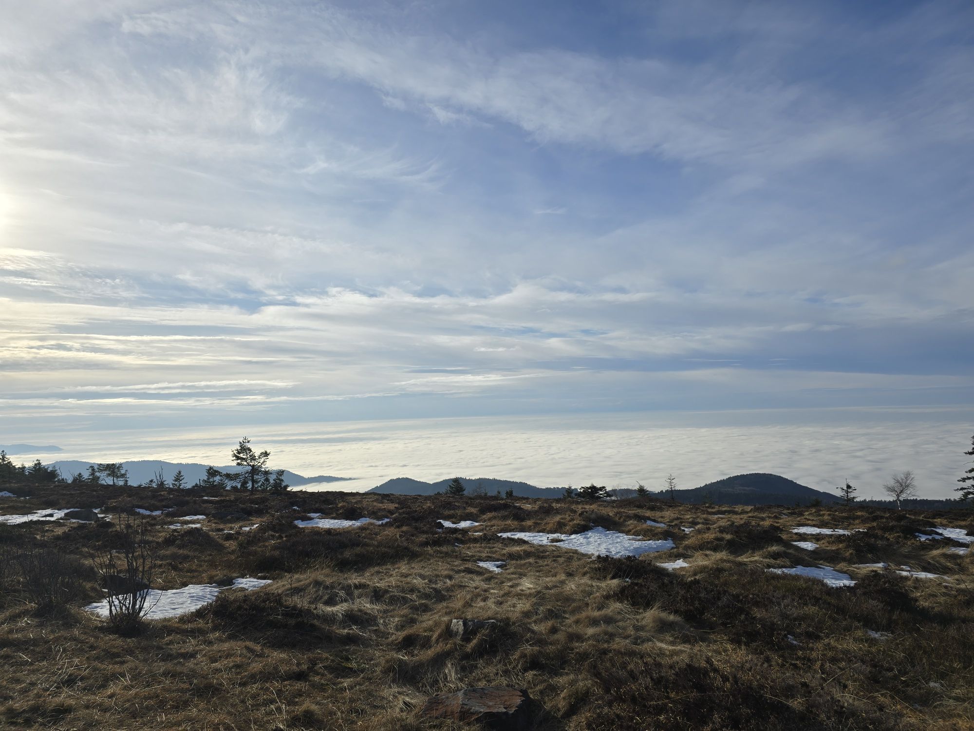

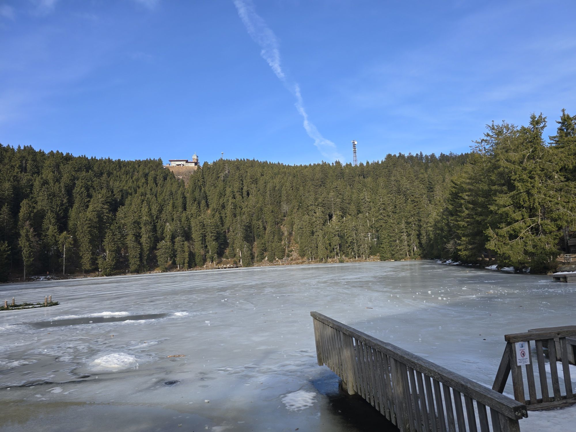
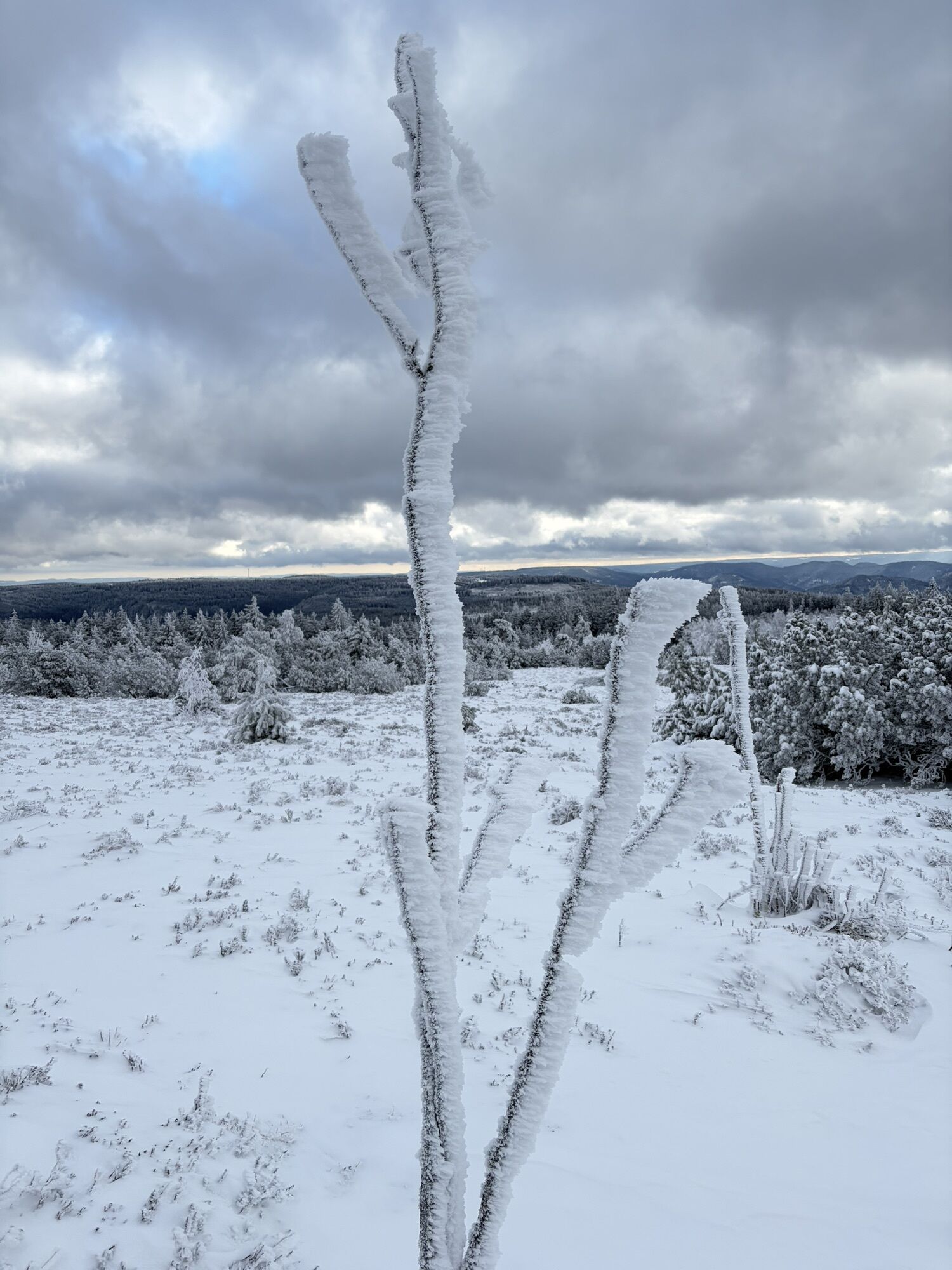


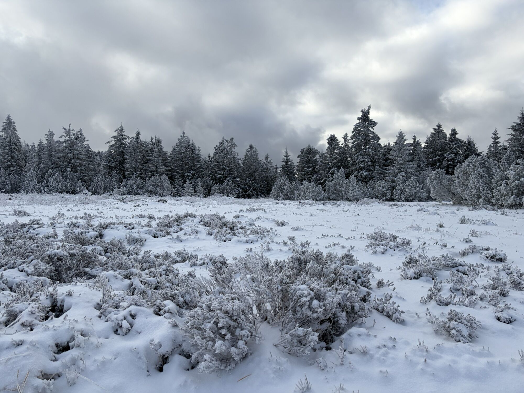
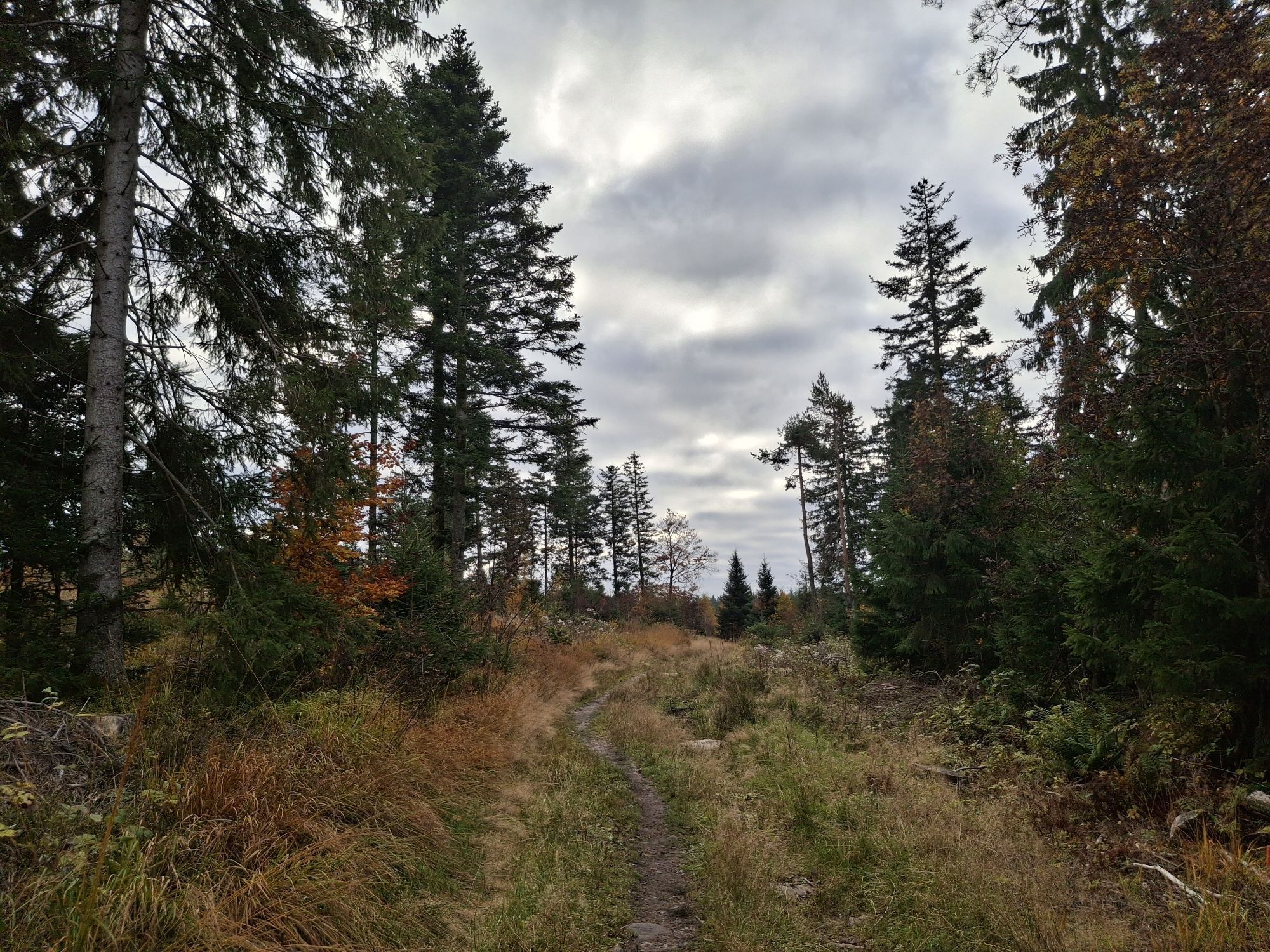
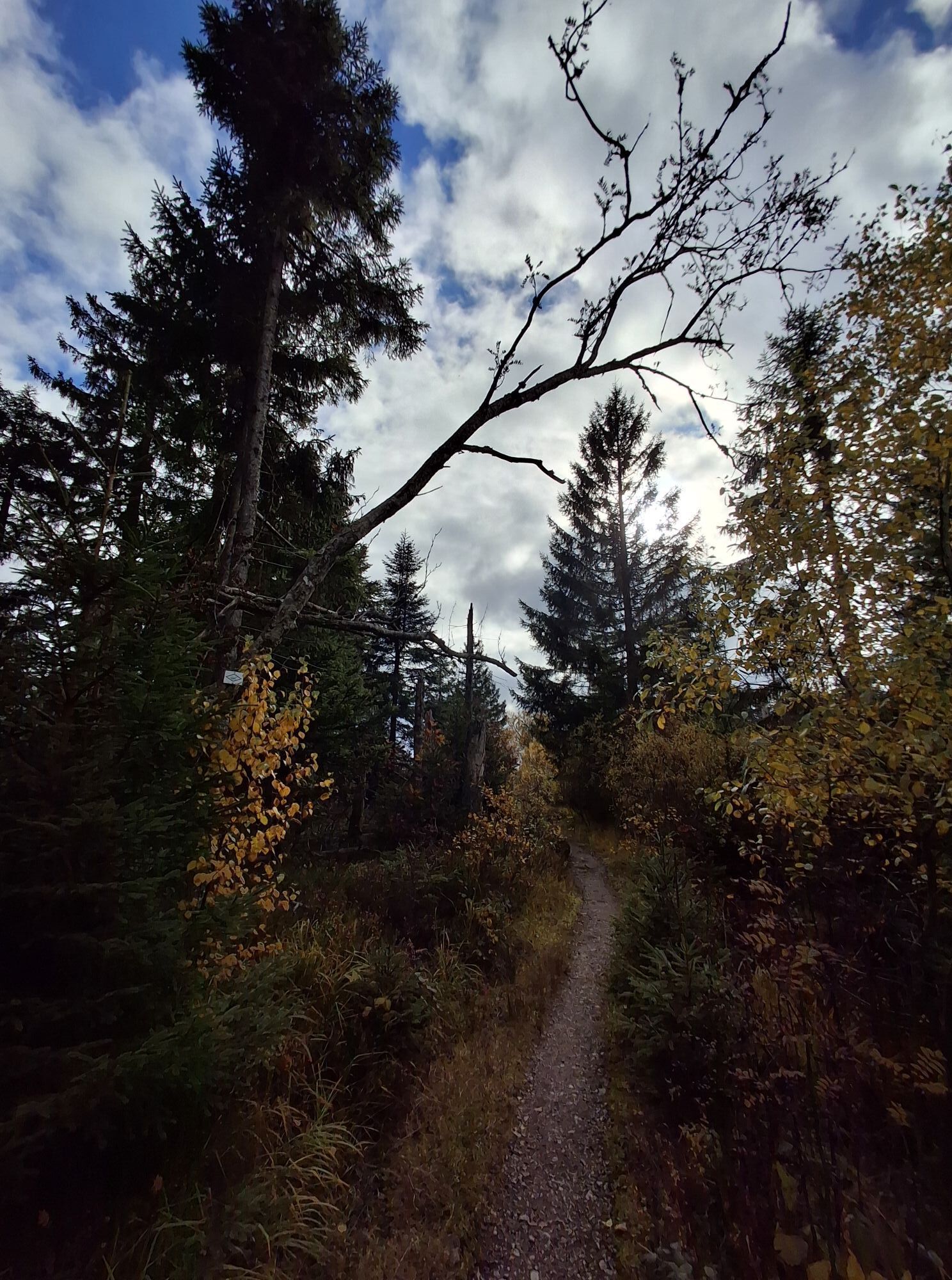
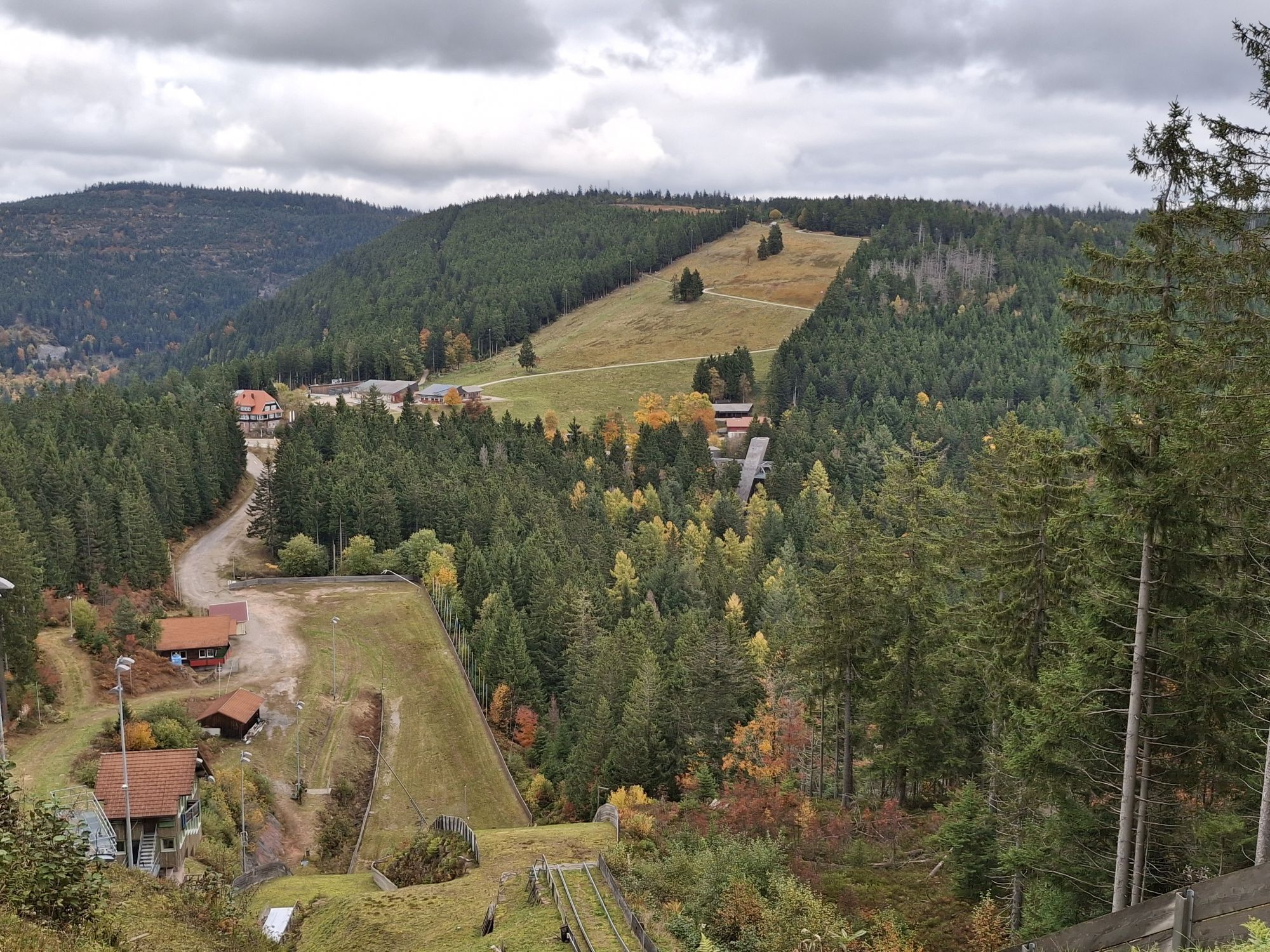
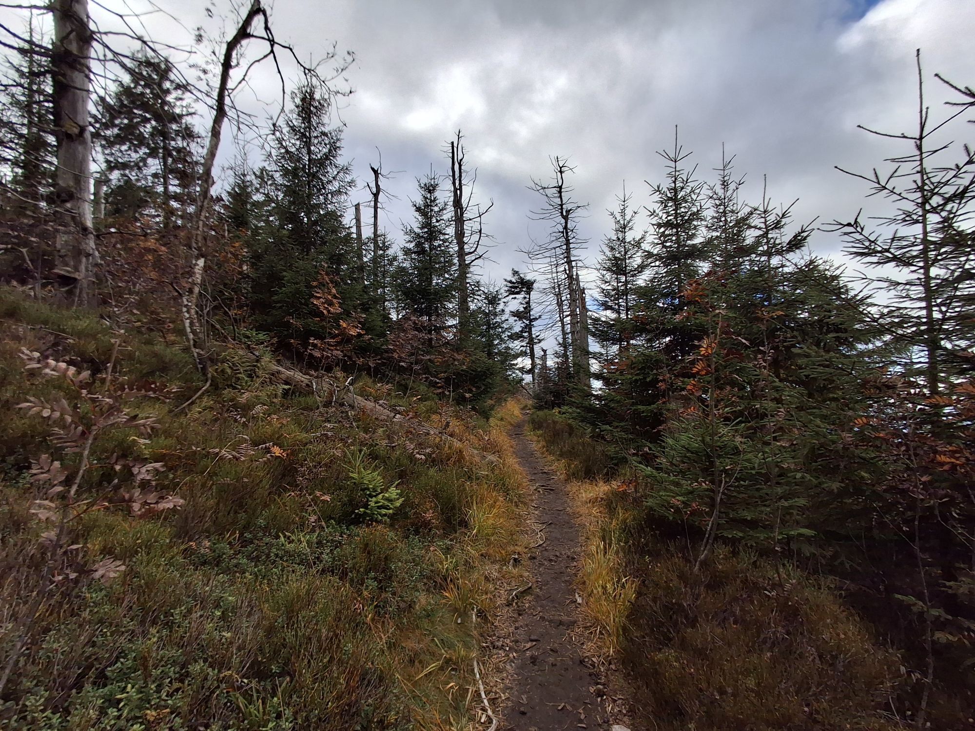
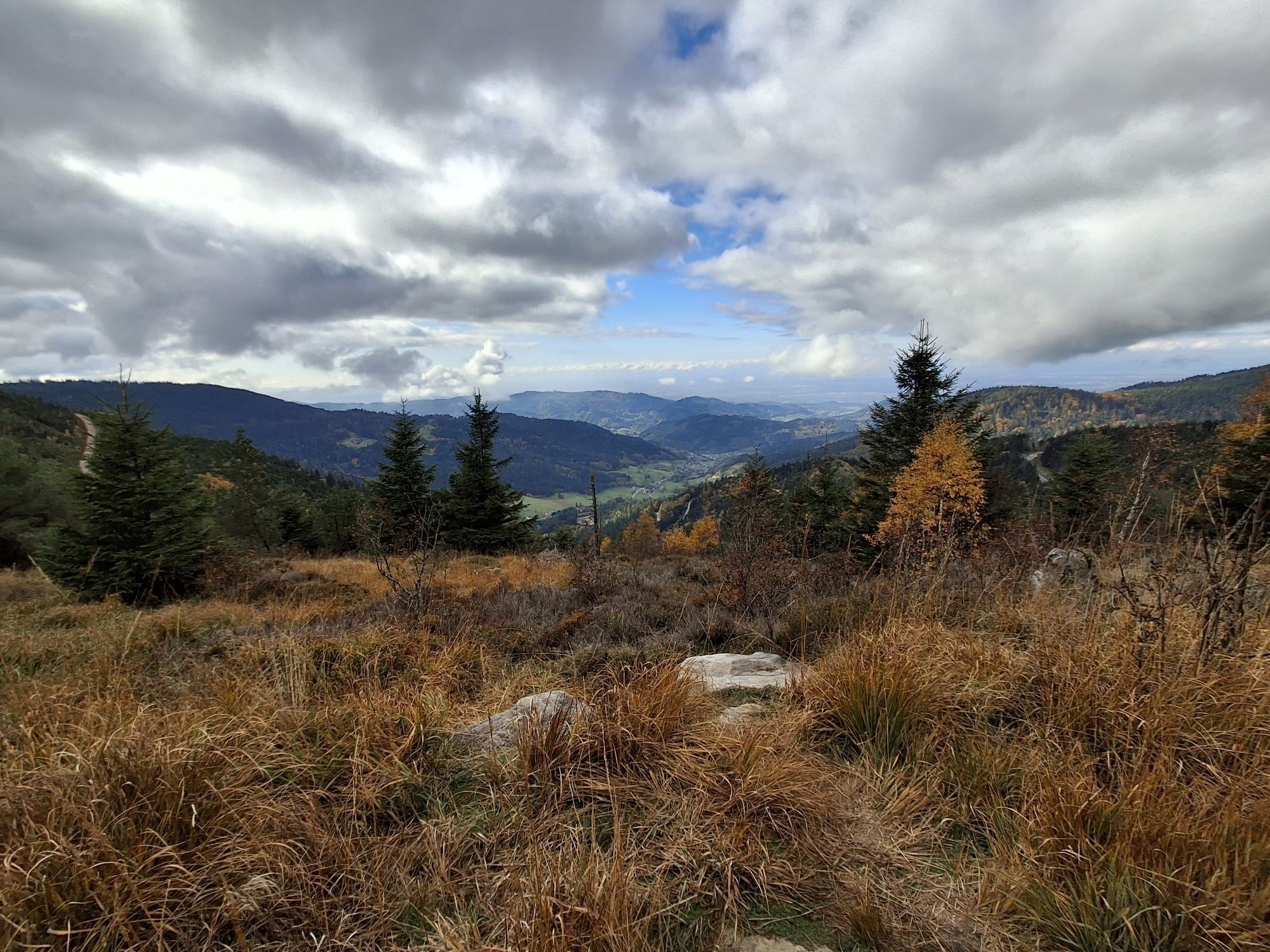
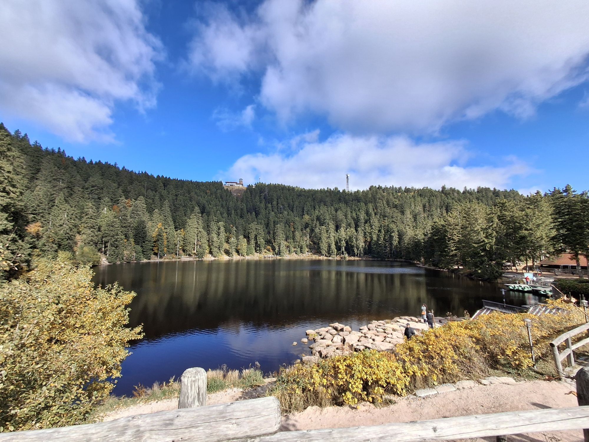
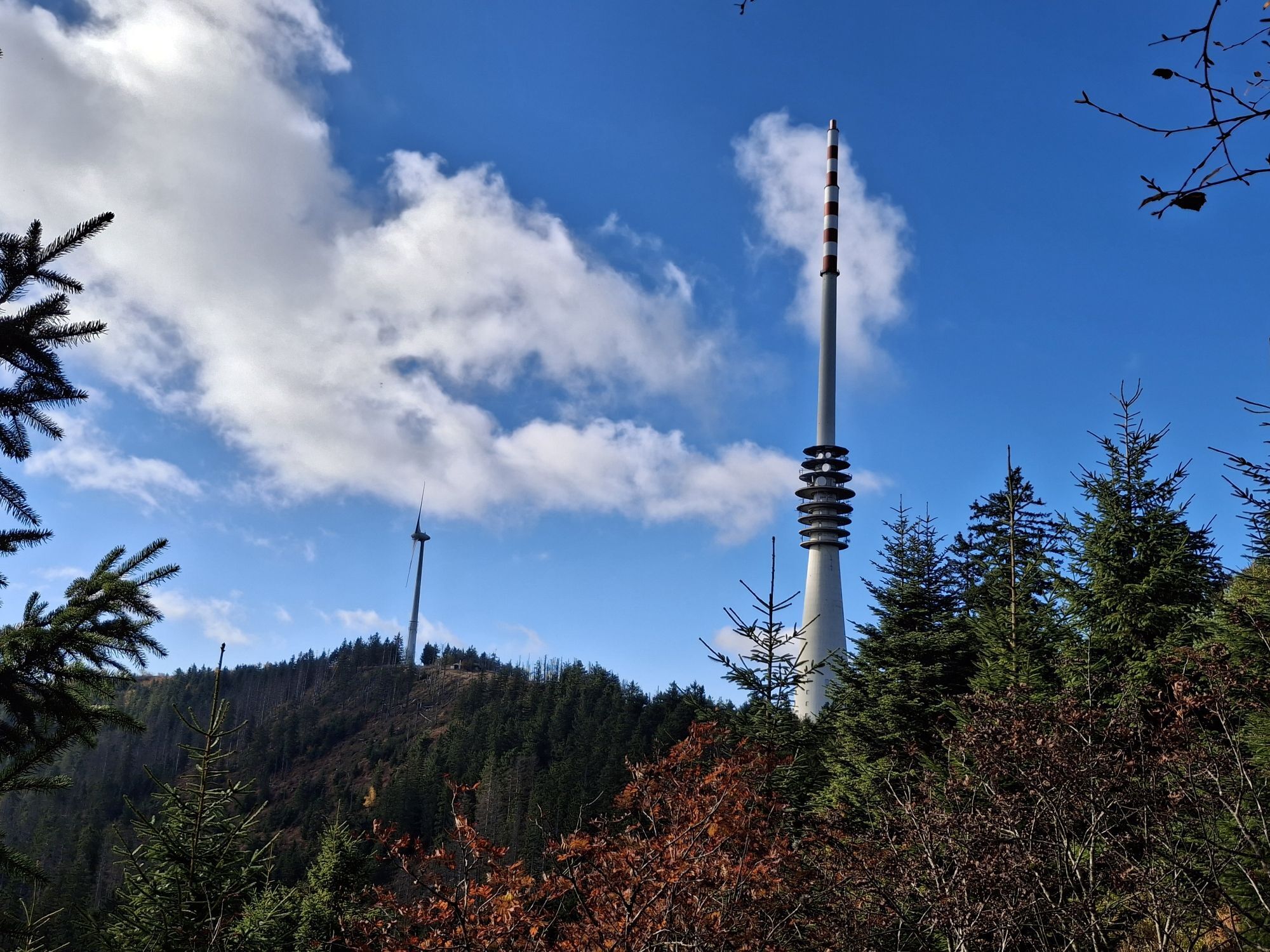
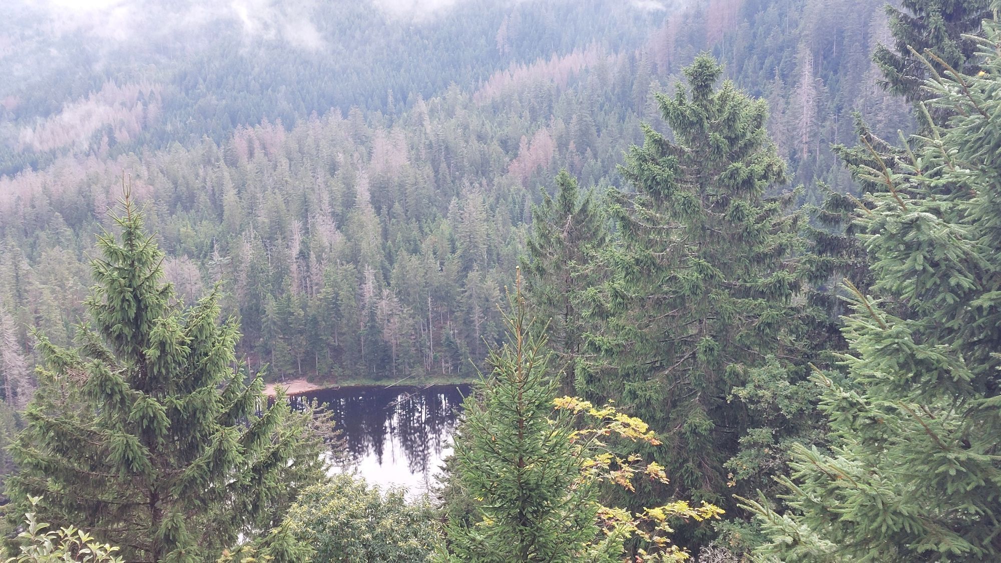
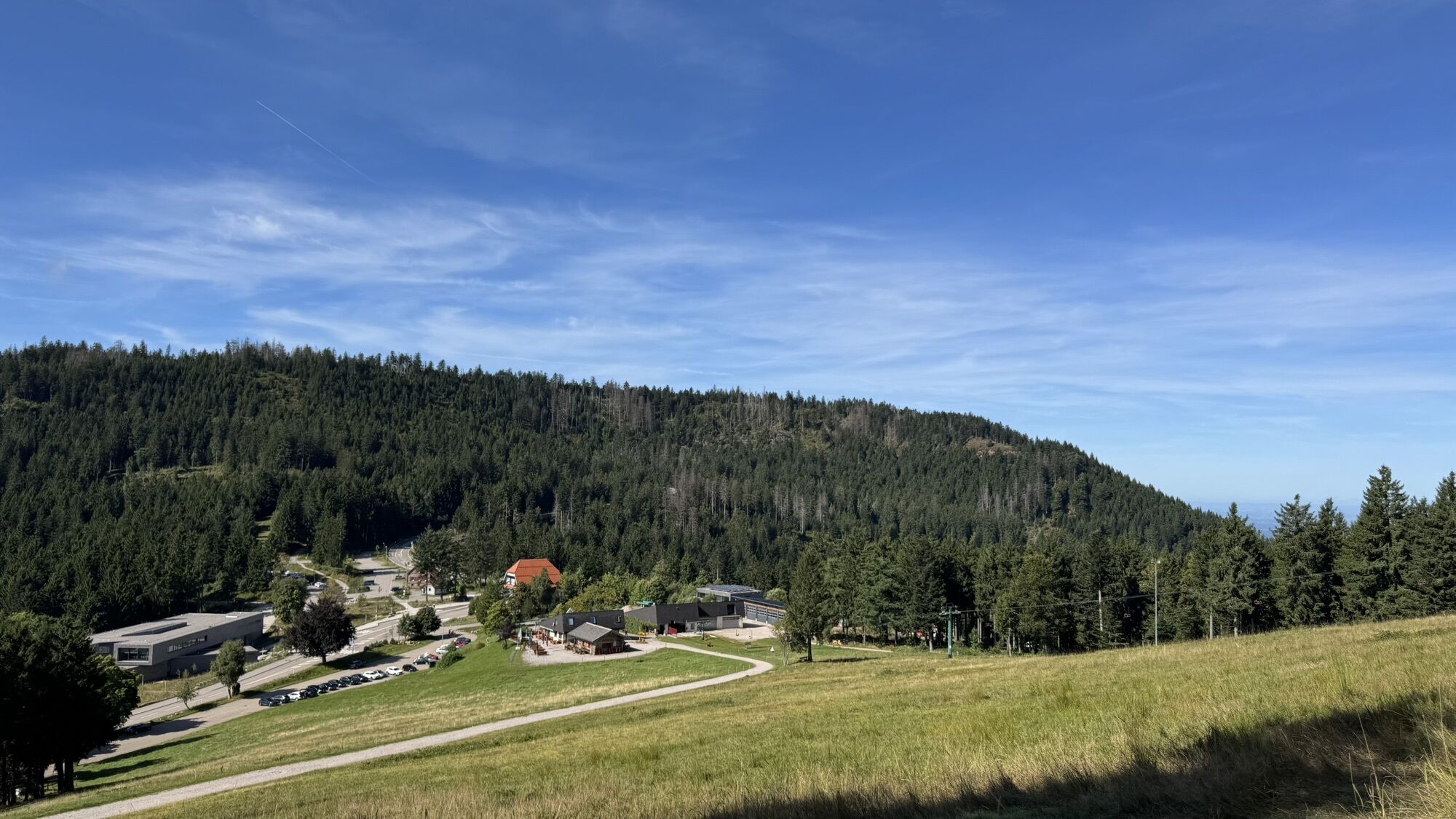


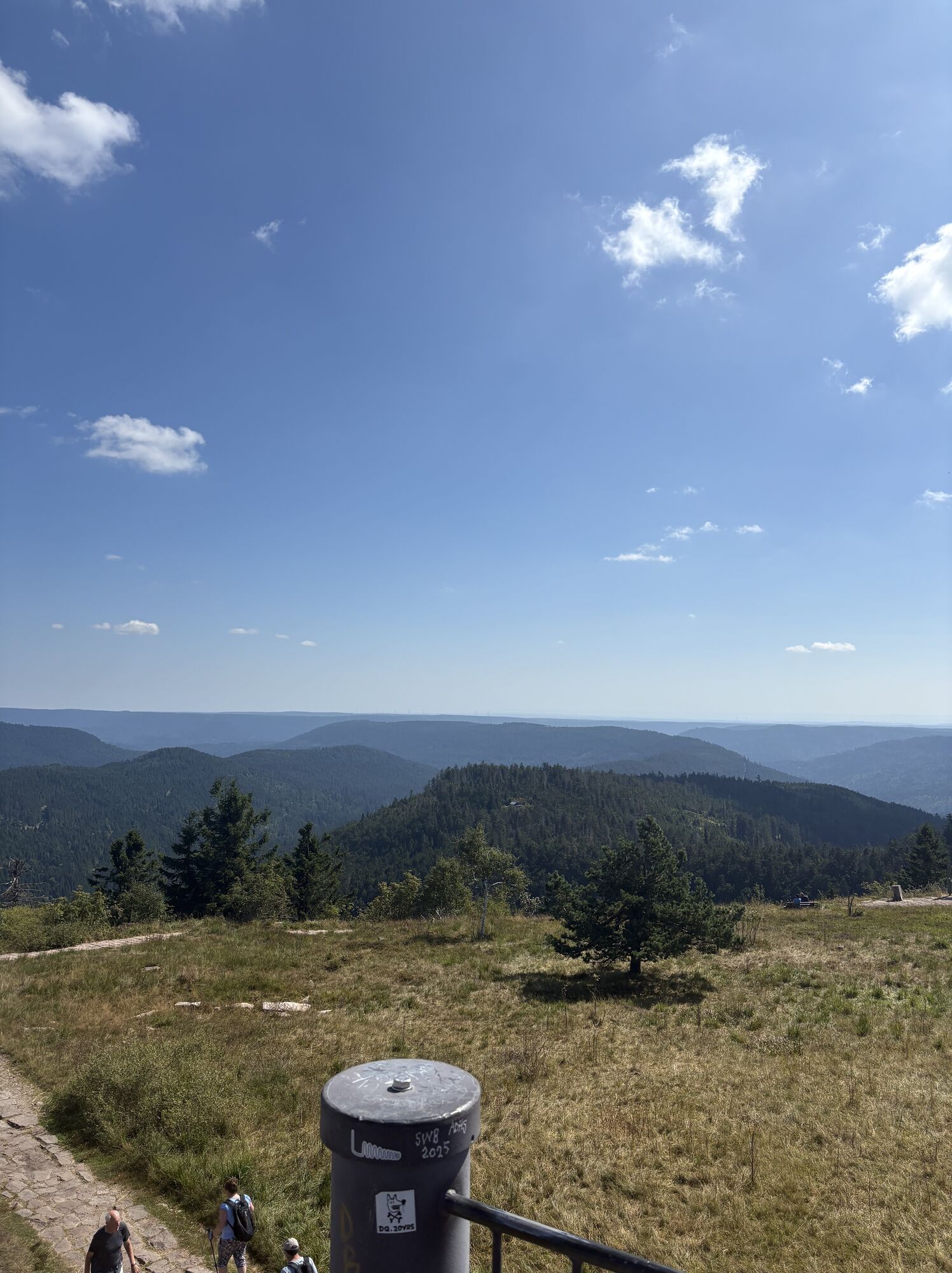
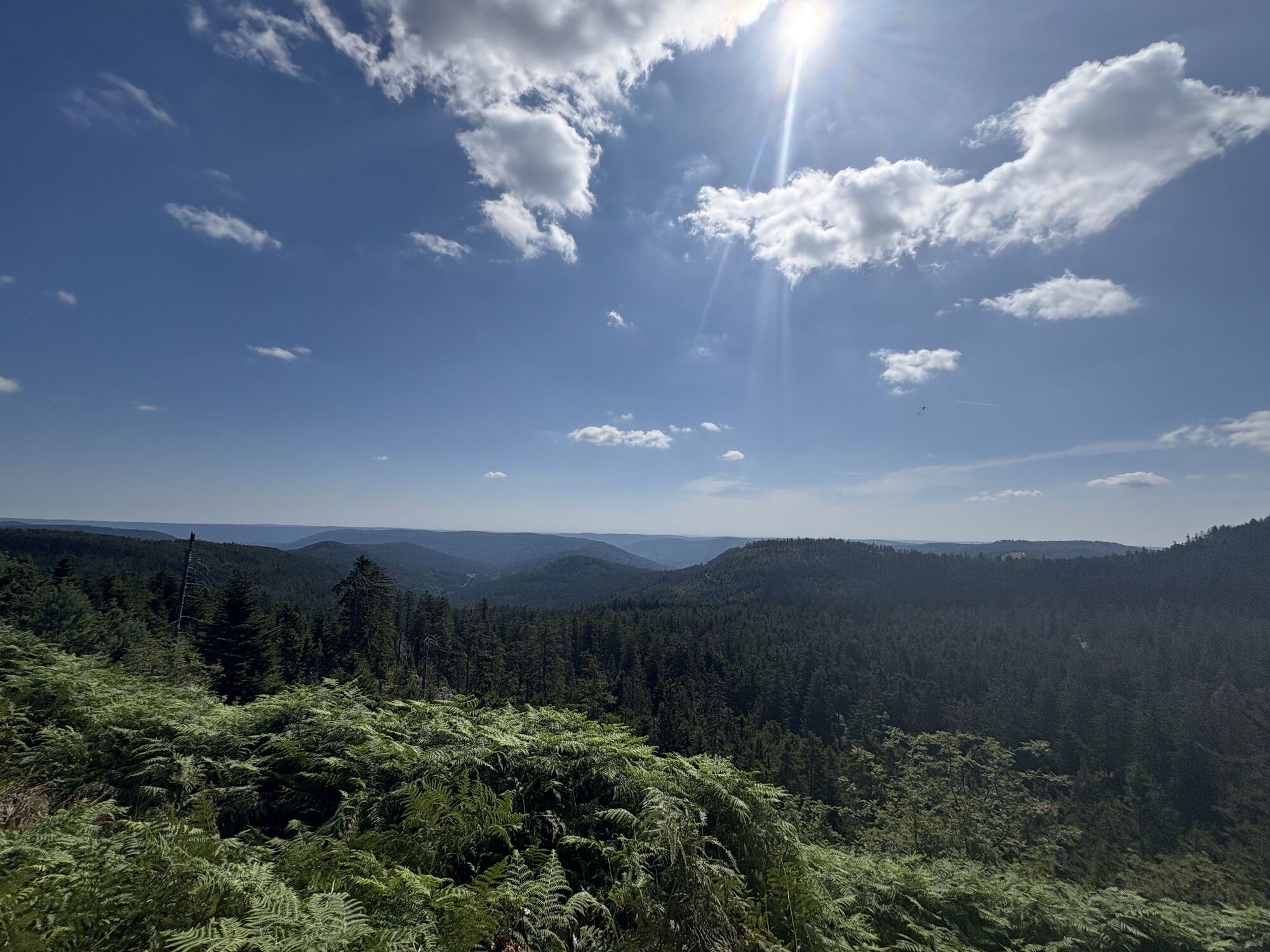
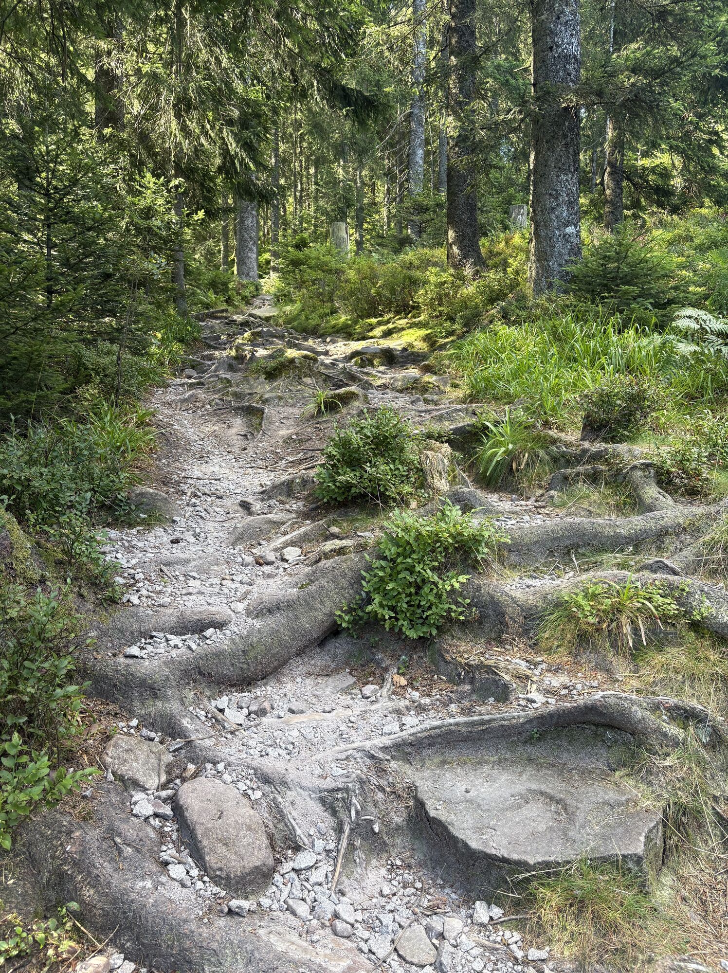


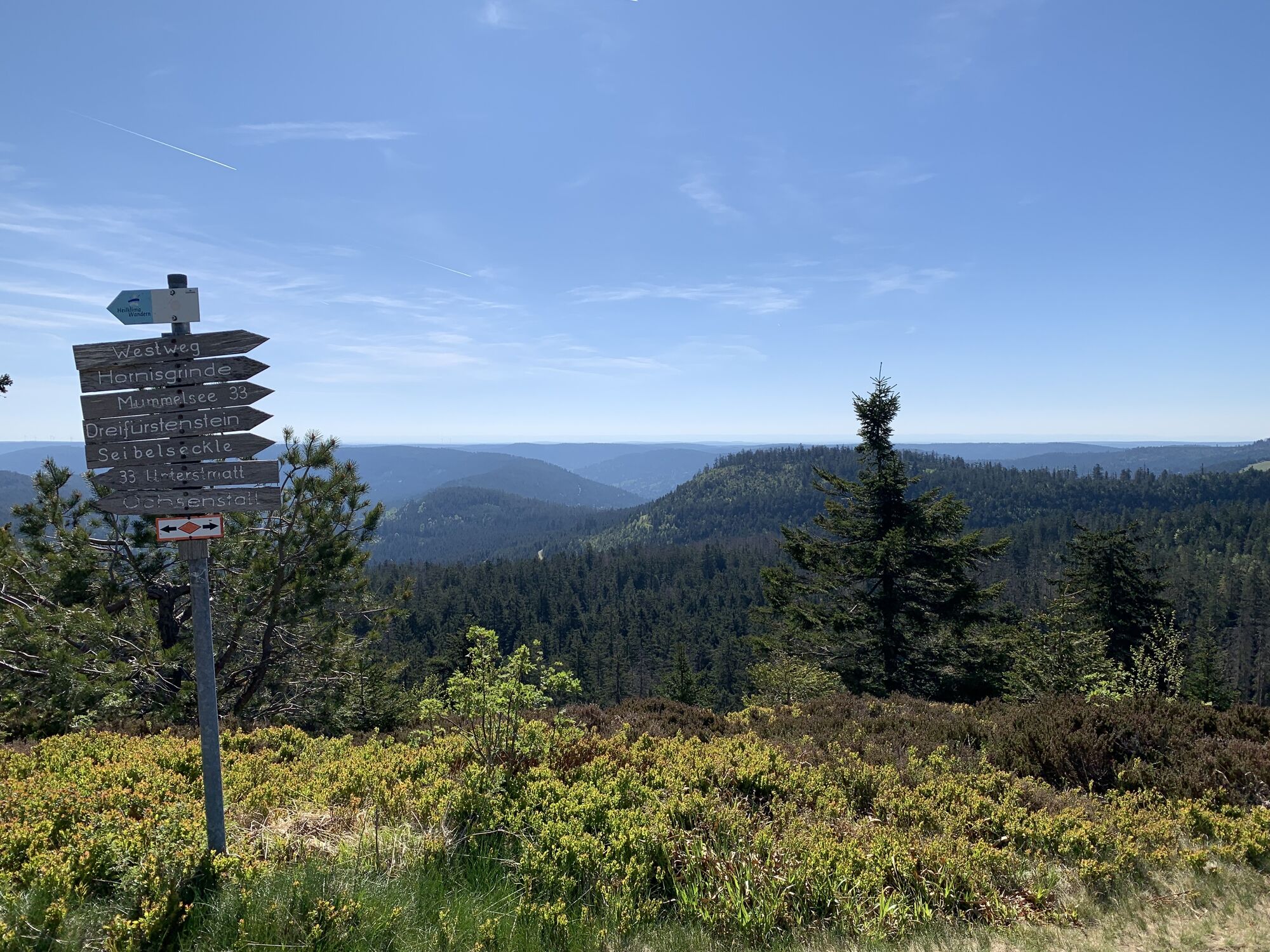
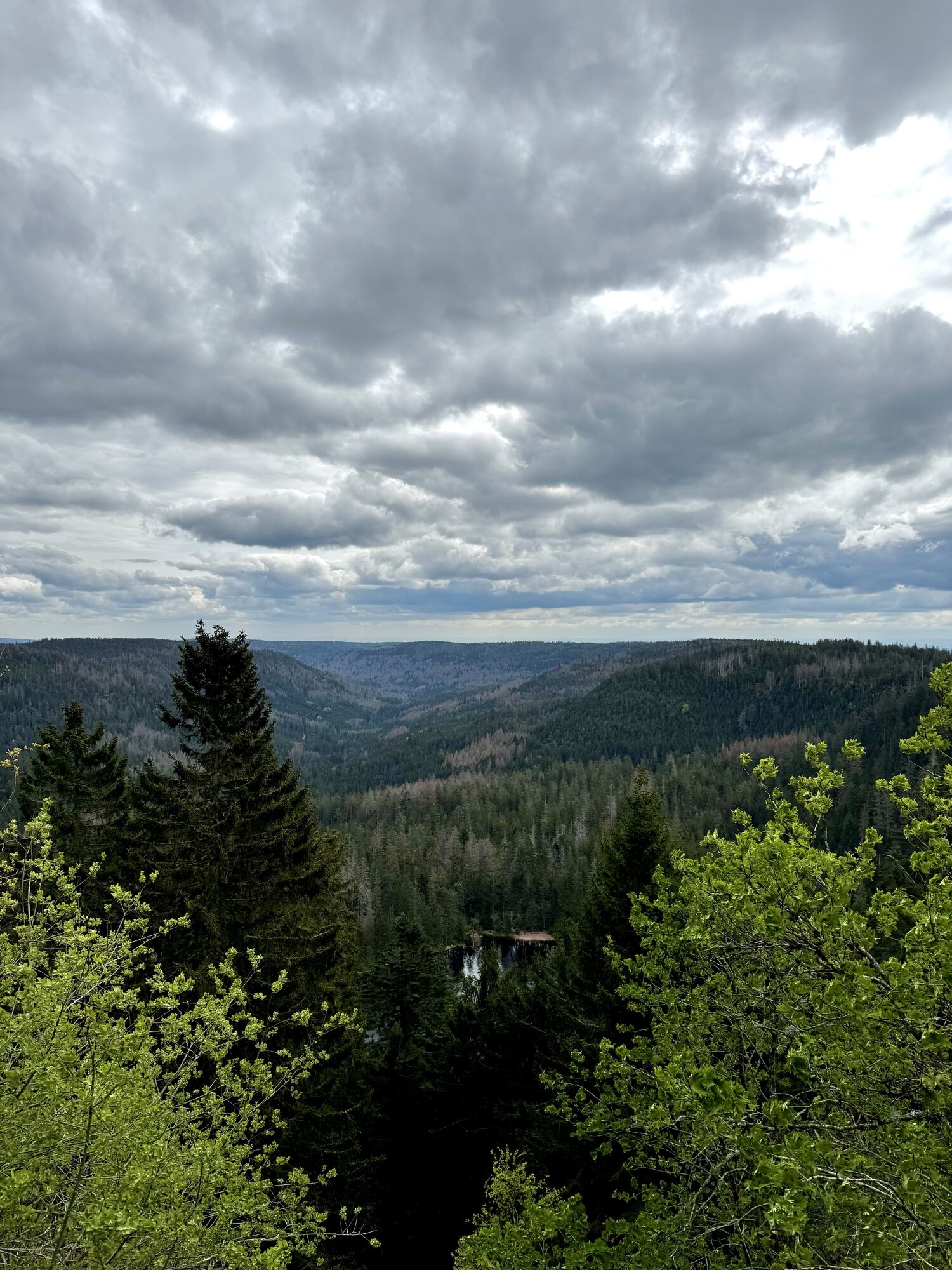


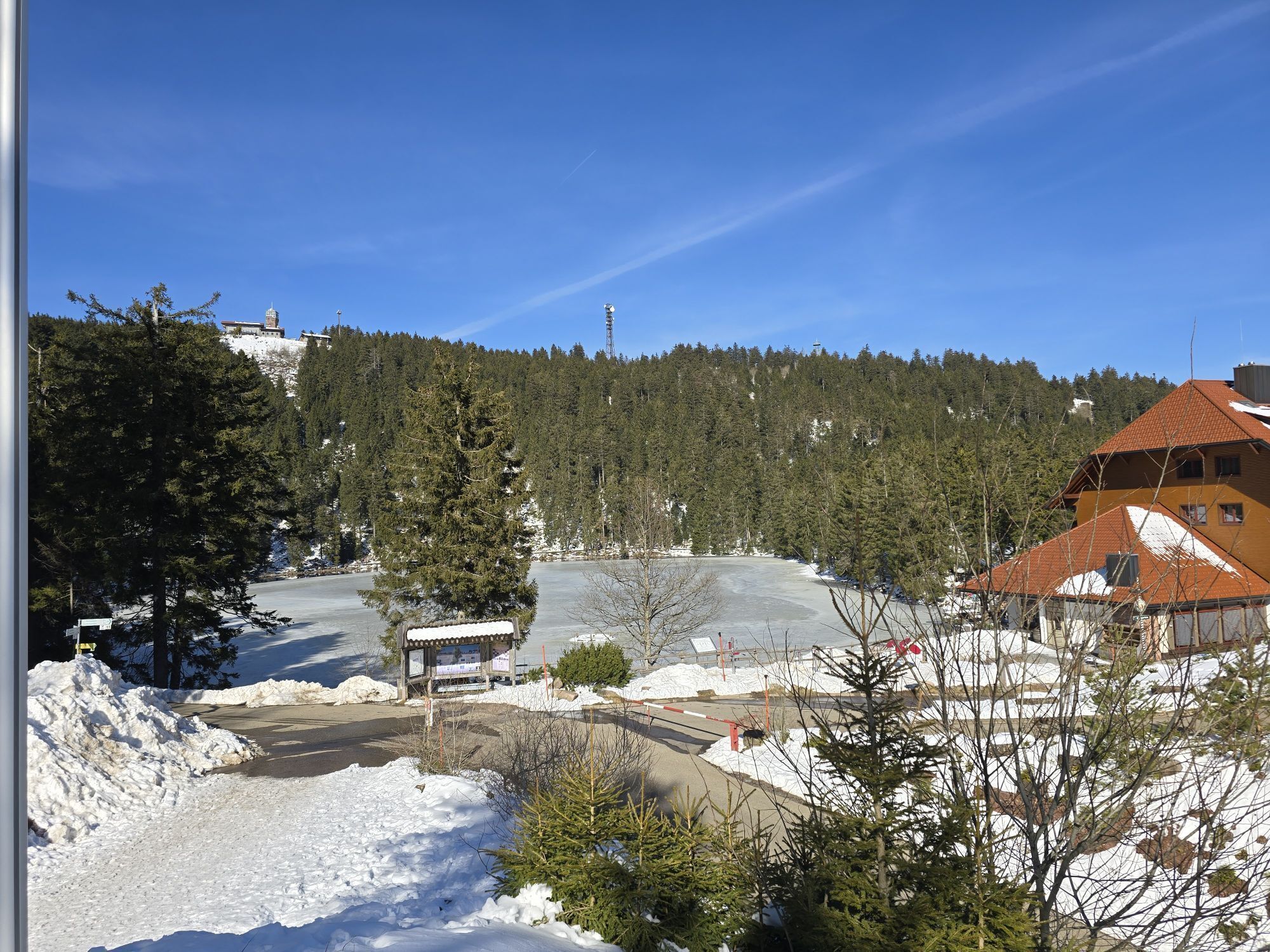
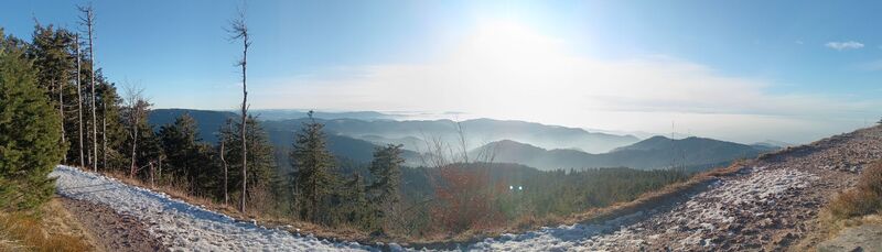
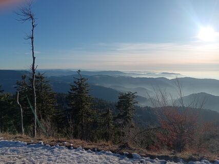
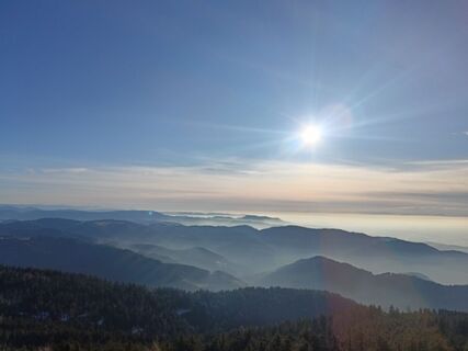
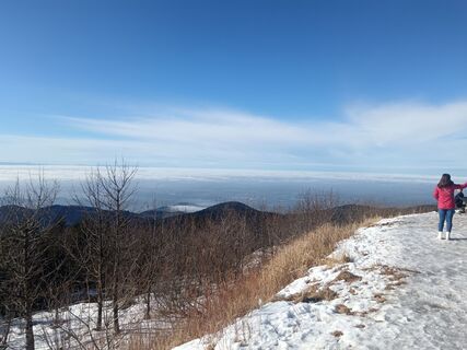
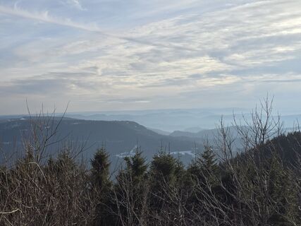
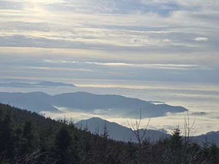
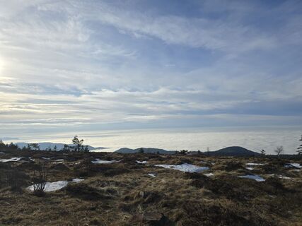
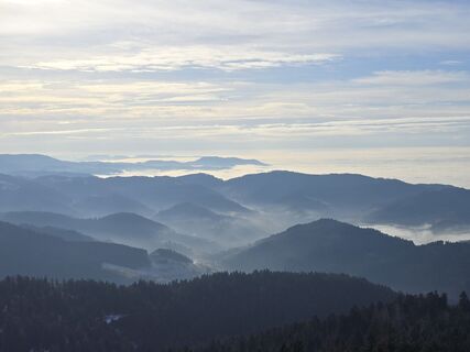
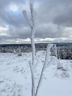
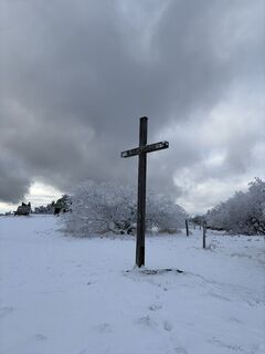
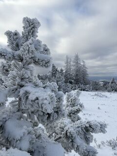
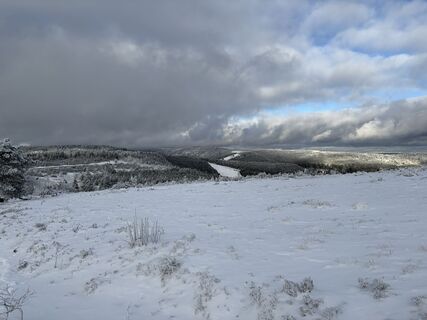
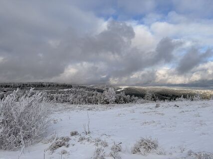
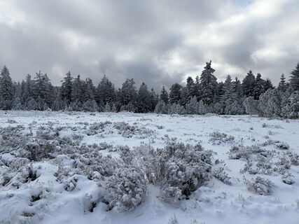
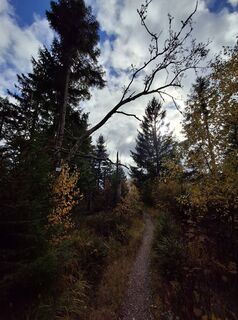
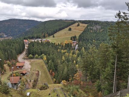
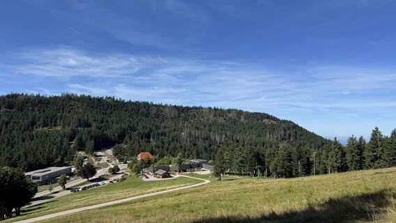
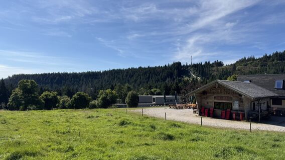
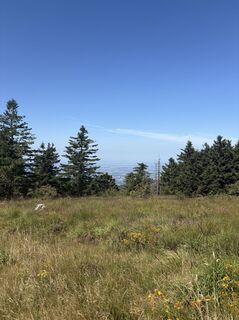
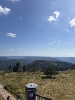
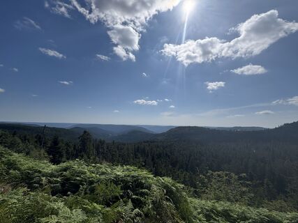
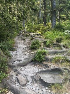
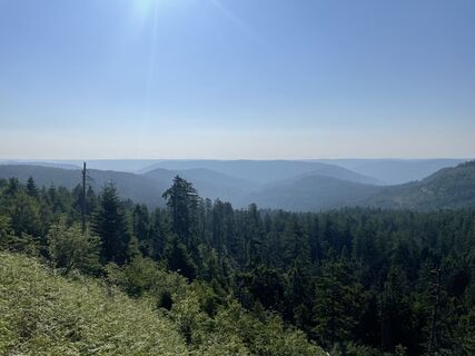
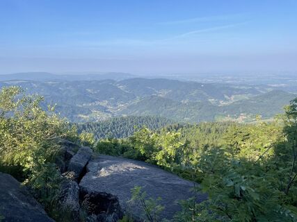
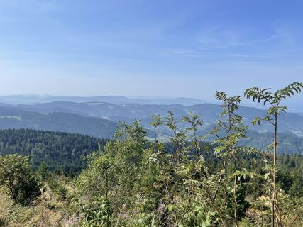
Grinden is the name for the barren, highmoor flats on the crests of the Northern Black Forest. They were formed during the Middle Ages from intensive pasturing. Today, they are covered in nardus, heather,...
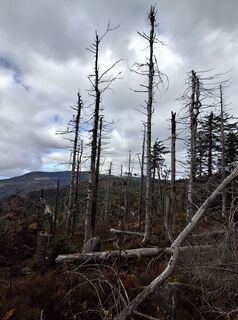
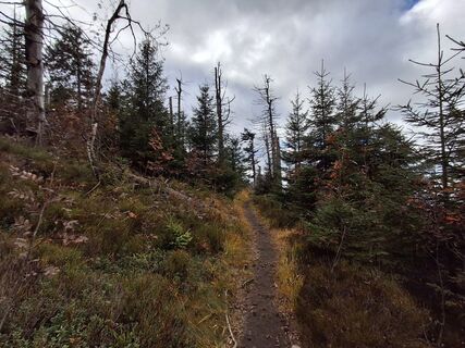
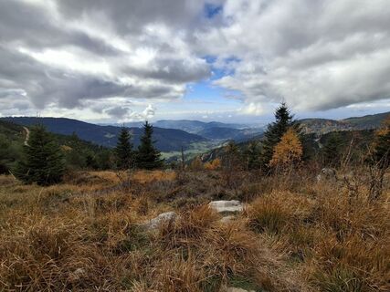
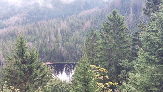
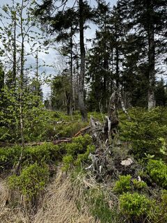
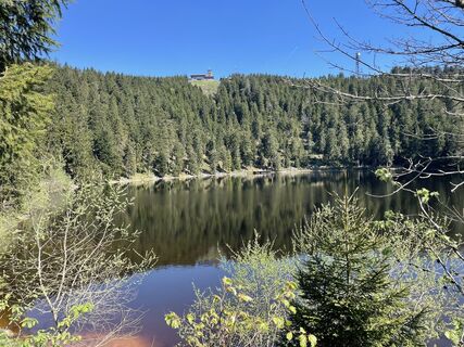
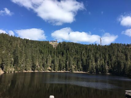
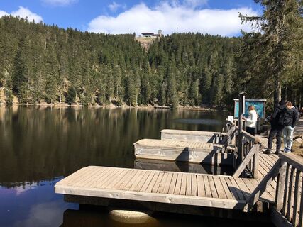
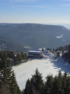
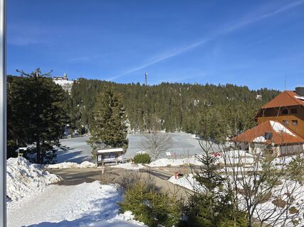
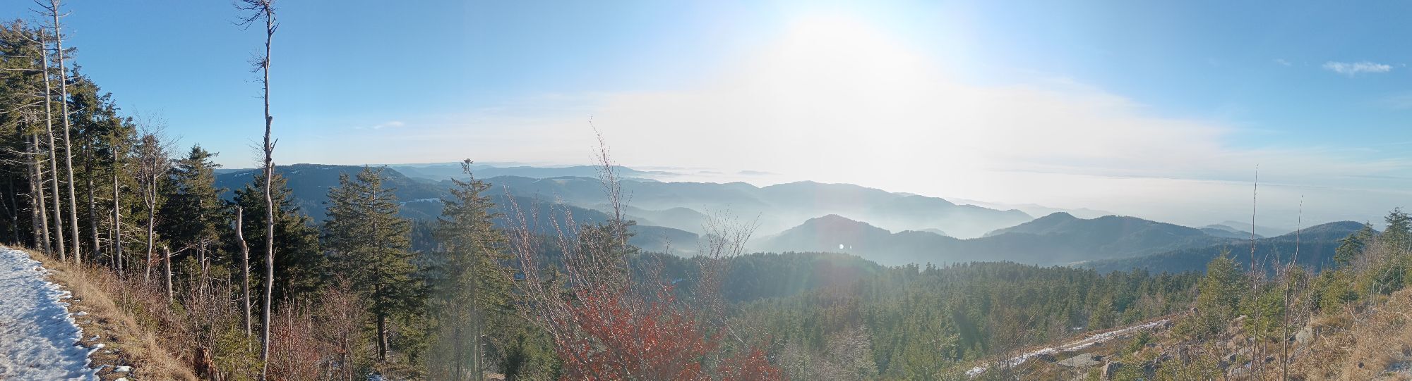
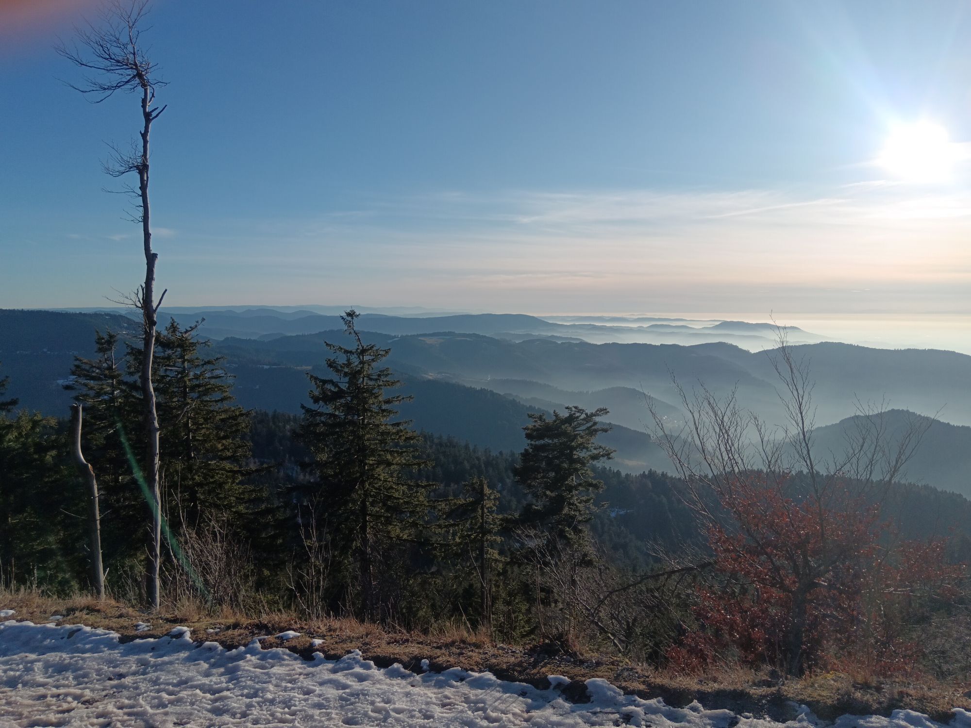
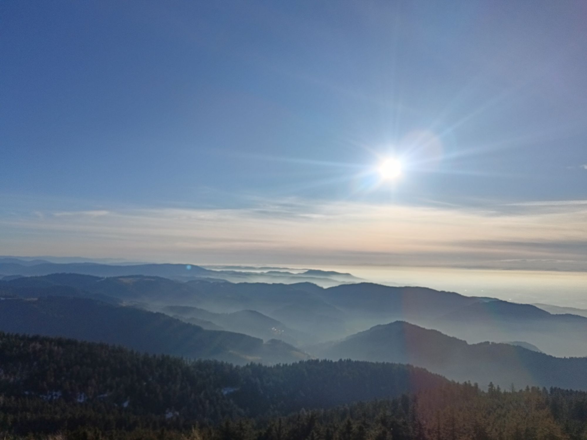
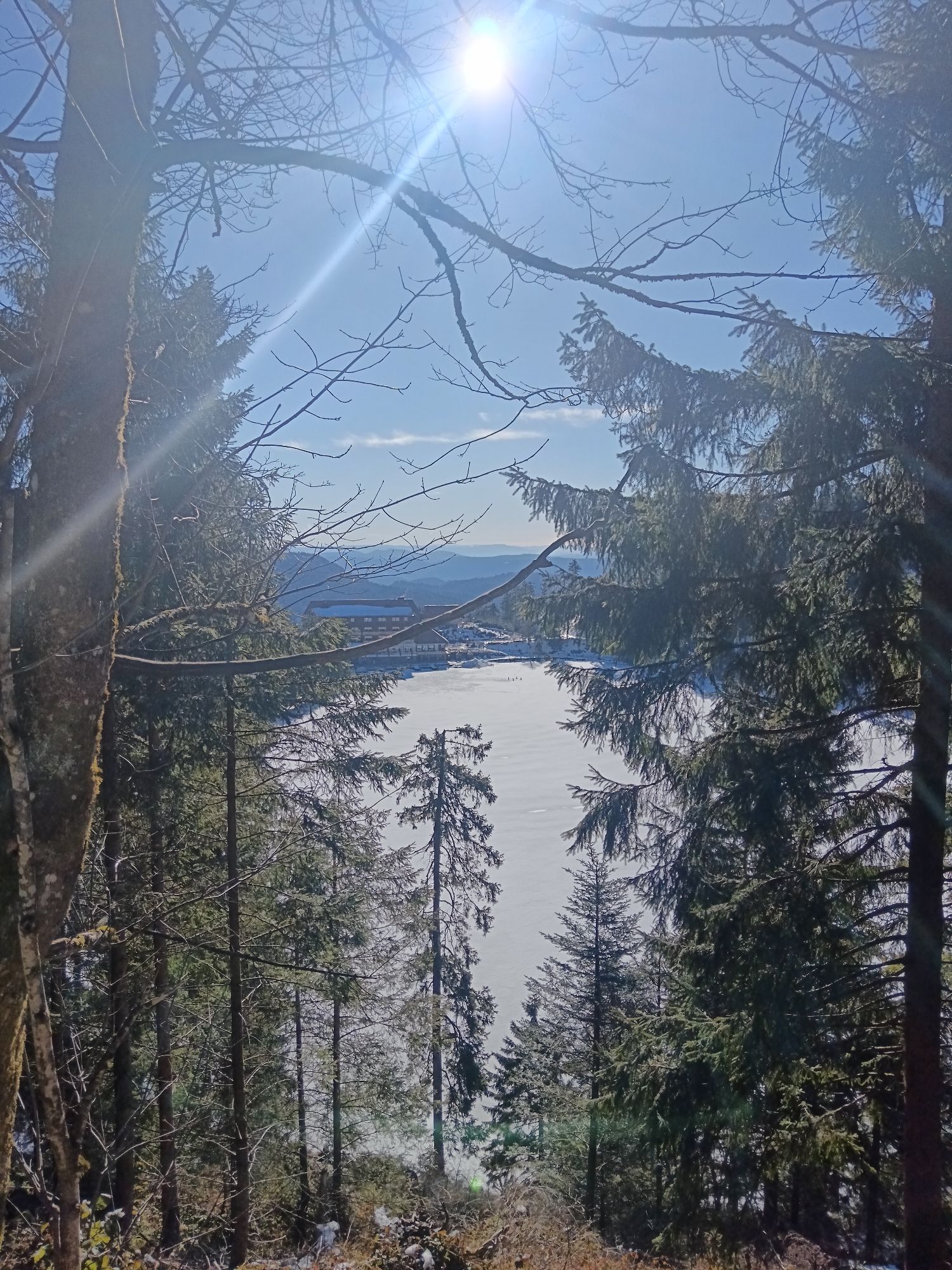
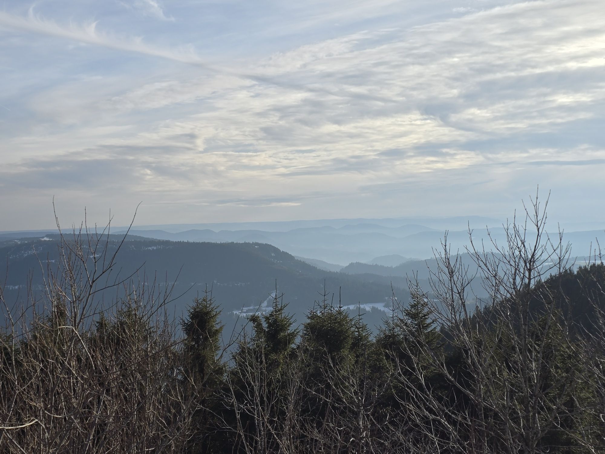
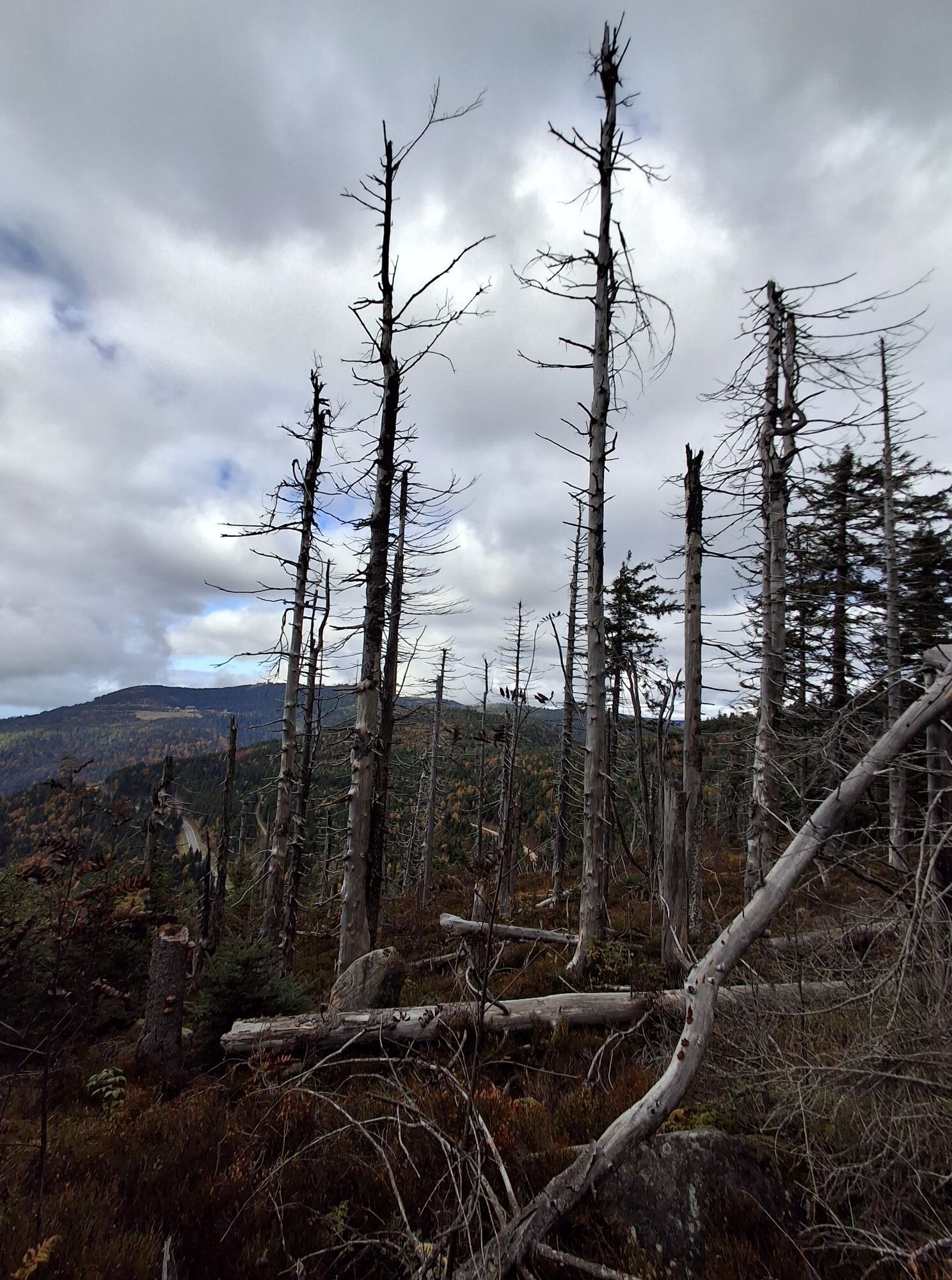
Grinden is the name for the barren, highmoor flats on the crests of the Northern Black Forest. They were formed during the Middle Ages from intensive pasturing. Today, they are covered in nardus, heather, and mountain pine. The Grindens are maintained with targeted clearing and revitalization with livestock ranching. From Unterstmatt, a small trail snakes to the in Gasthaus Ochsenstall, then climbing to the commanding television tower on the Hornisgrinde high plateau, the highest mountain in the Northern Black Forest. The small Bismarckturm tower is found at the highest point of the plateau. At the southern end of the moor, above the lake Mummelsee, the Black Forest Association erected the large tower Hornisgrindeturm, which was reopened for visits in 2005 following the departure of the French military. Behind the mystical Mummelsee lake, the Westweg transverses the faces of Altsteigerkopf, swept barren by the storm Lothar. The cozy cabin Darmstädter Hütte is an inviting location to take a rest. Nearly one kilometer farther, the dark Wildsee lake in the Bannwald forest shines like one of the eyes of the Northern Black Forest. The nature center at Ruhestein explains the history of the Grinden landscape in an easy-to-follow manner. Grinden presents its typical views to those on Schliffkopf (1,055m), which has been ground flat. The unimaginable fury of Storm Lothar while sweeping over the Black Forest on Christmas day 1999 can be appreciated in an impressive manner on the trail Lotharpfad. This small detour climbs over snapped trees and crawls through the underbrush. The fortifications Röschenschanze an der Zuflucht and Alexanderschanze from the 18th Century bear witness to stormy times of an entirely different nature in the Northern Black Forest.
To Unterstmatt: From Baden-Baden train station on bus to Unterstmatt (ca. 60 min, change 1-2x).
From Alexanderschanze: take bus to Freudenstadt (mai-nov, 20 min, 2x daily; at WE 4x daily); or via Unterstmatt to Baden-Baden (4x daily).
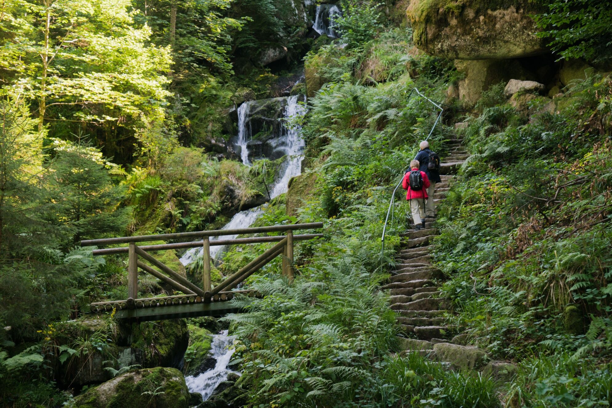
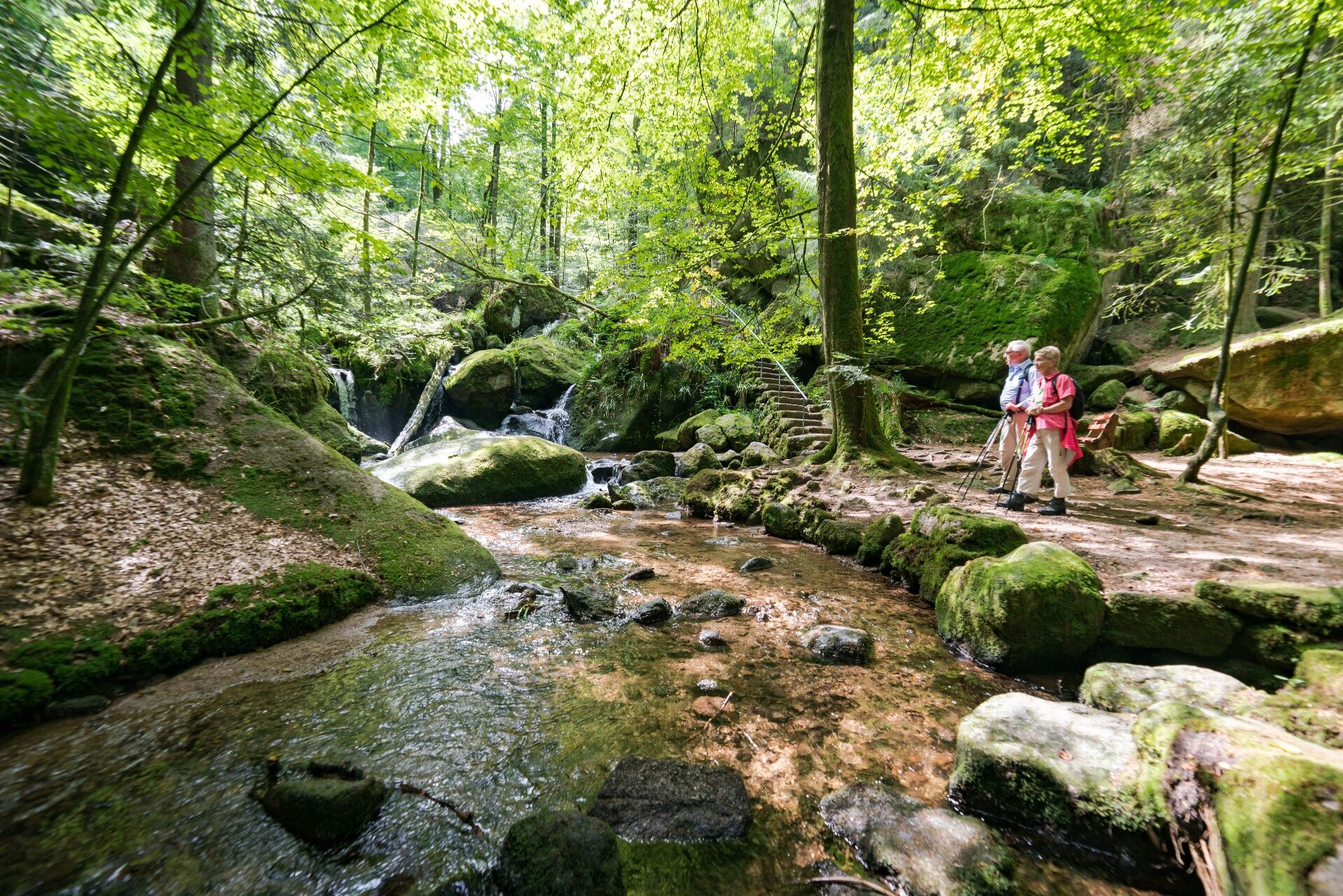
This long, difficult stage is a good candidate for being spread over two days. To do so, hikers descend from lake Mummelsee (3) over the high cliffs to Seebach/Ottenhöfen to thrillingly climb back to the Westweg via Edelfrauengrab (waterfall and ravine) and the alpine ascent at Karlsruher Grat and/or the Allerheiligen cloister ruins and waterfall. The Westweg is reached again at Schliffkopf.
Spletne kamere s turneje
-
Schliffkopf - Hotel Schliffkopf
-
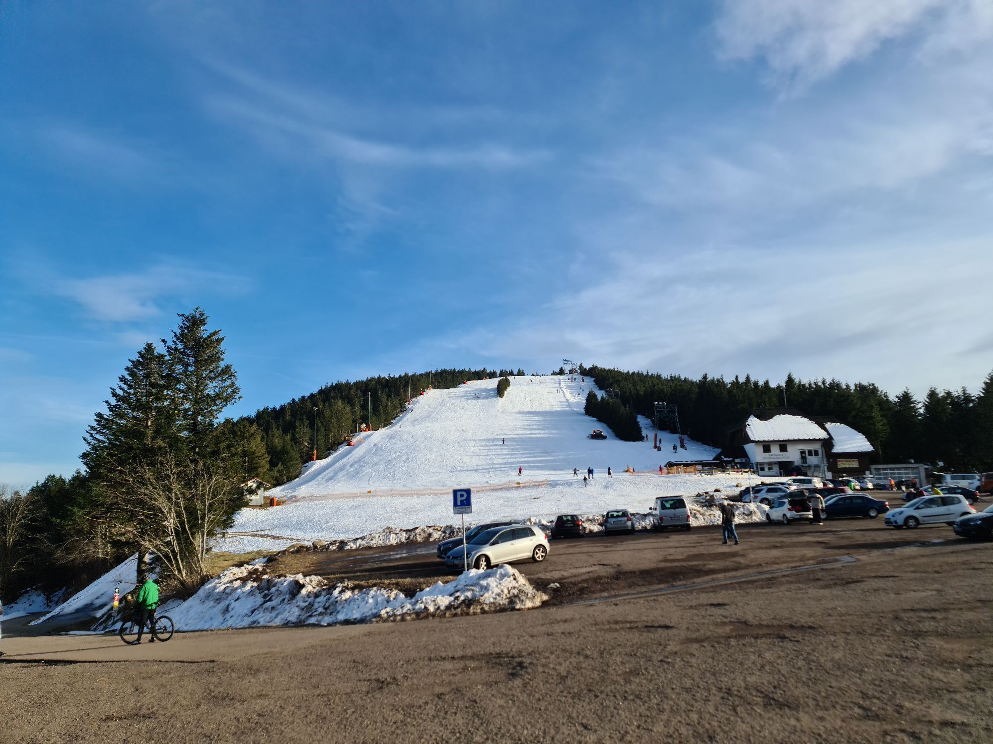
Skilift Ruhestein
-
Schliffkopfhotel
-
Mehliskopf
-
Hundseck - Bühlertallifte
-
Hundseck - Bühlertallifte
-
Seibelseckle Lift
-
Seibelseckle
-
Mehliskopf Bobbahn
-
Mummelsee
-
Mummelsee
-
Buchkopfturm
-
Grindehütte Hornisgrinde
-
Kniebis - Waldblick Hotel
-
Unterstmatt
-
Grindehütte Hornisgrinde
-
Seibelseckle - Bergstation
-
Obertal-Buhlbach
-
Skilift Unterstmatt
-
Kniebis-Skistadion / Nachtloipe
-
Kniebis-Skistadion
-
Kniebis-Skistadion / Nachtloipe
-
Kniebis-Skistadion / Nachtloipe
-
Lift - Hochkopfstub
Priljubljeni izleti v okolici
-
4.7
Kniebiser Heimatpfad - Wandern mit Genuss
svetlobaPohodništvo 9.07 km -
4.0
Sankenbachwasserfälle und Glasmännlehütte am Stöckerkopf
srednjaPohodništvo 12.8 km -
5.0
Naturgewalten-Tour
Pohodništvo 15.6 km -
5.0
Bannwald-Tour
Pohodništvo 13.3 km -
4.2
Schnapsbrunnenweg 2
srednjaPohodništvo 12.8 km -
5.0
Schnapsbrunnenweg 1
svetlobaPohodništvo 7.45 km -
Über die Alexanderschanze zum Ellbachsee
Pohodništvo 11.1 km -
5.0
Kniebis-Sankenbachwasserfälle-Sankenbachsee
srednjaPohodništvo 7.98 km -
4.0
Eiszeit-Tour
Pohodništvo 11.7 km -
2.6
Genießerpfad zum Panoramastüble
Pohodništvo 10.6 km

Pohodništvo in sledenje


Ne zamudite ponudb in navdiha za naslednje počitnice
Vaš e-poštni naslov je bil dodan na poštni seznam.