







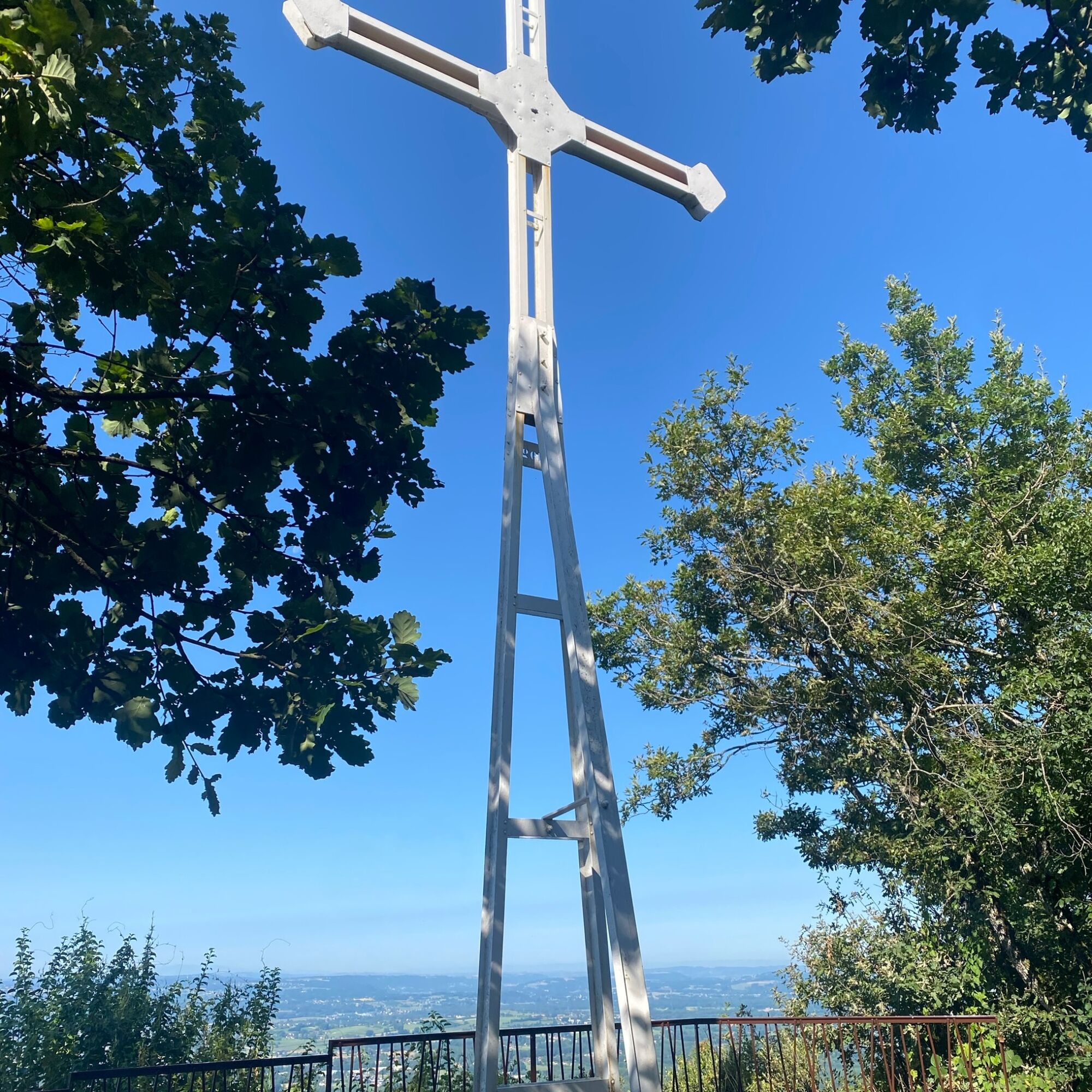
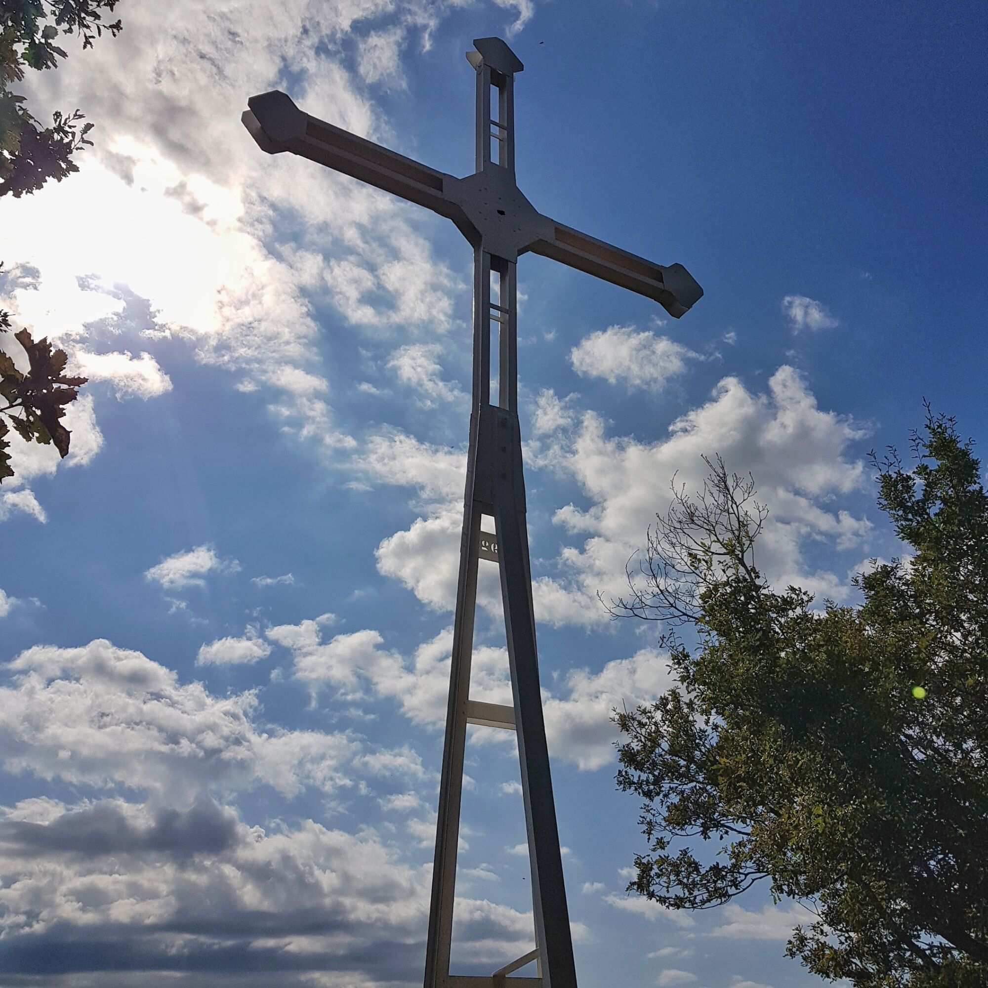
Hike : La croix Saint Clair

Stopnja težavnosti: T1
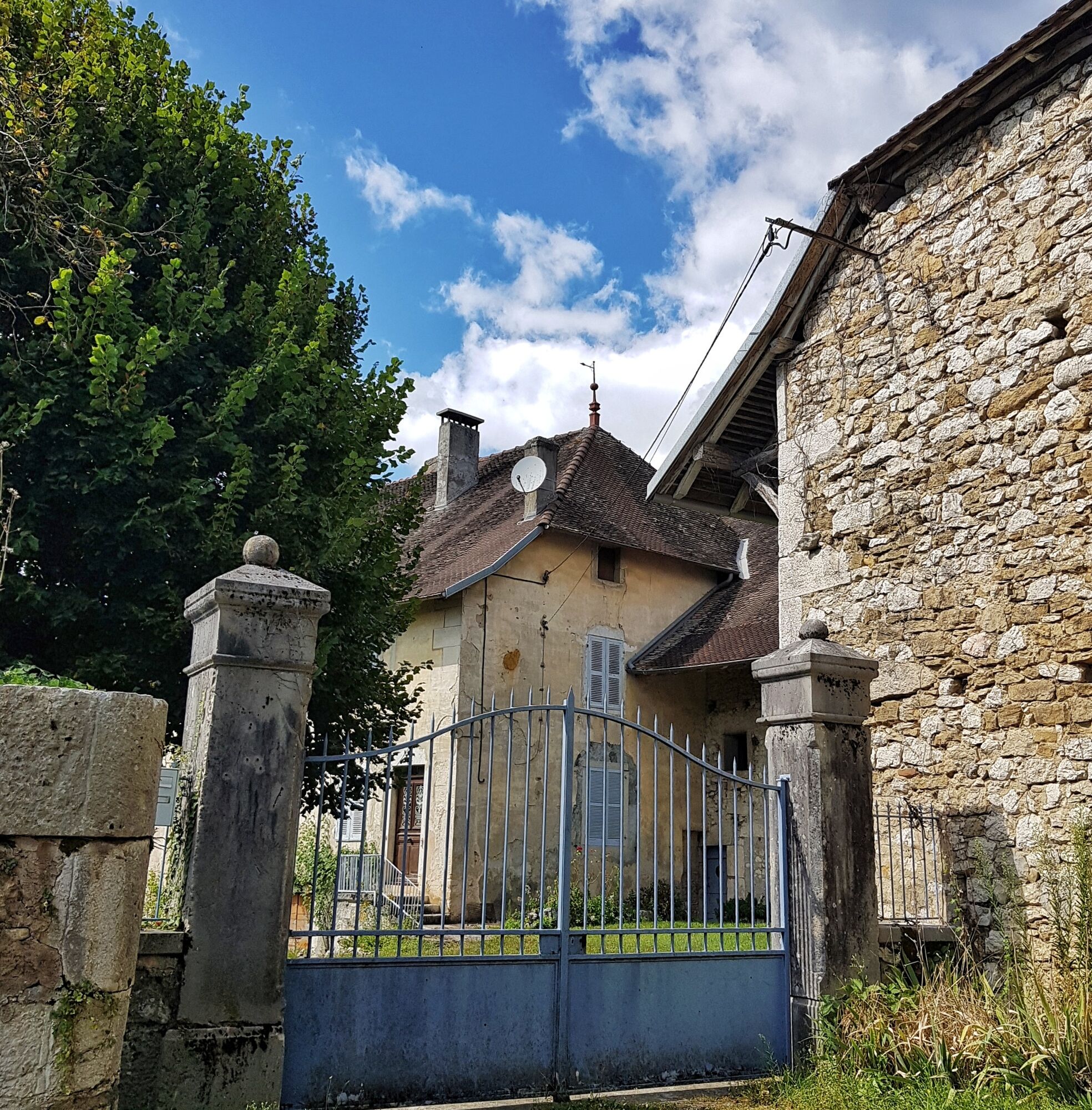
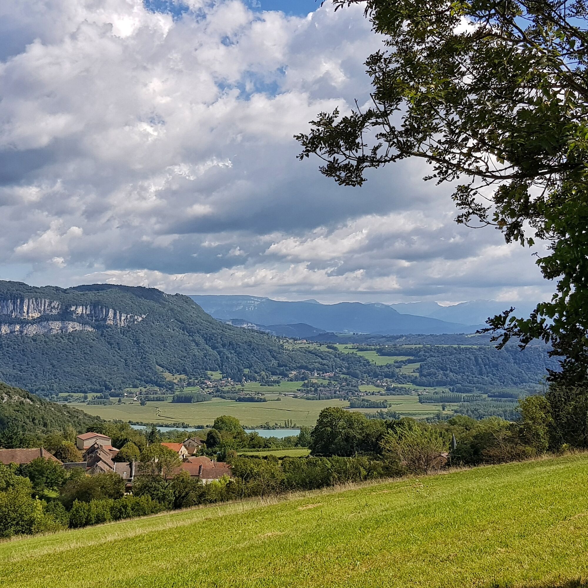
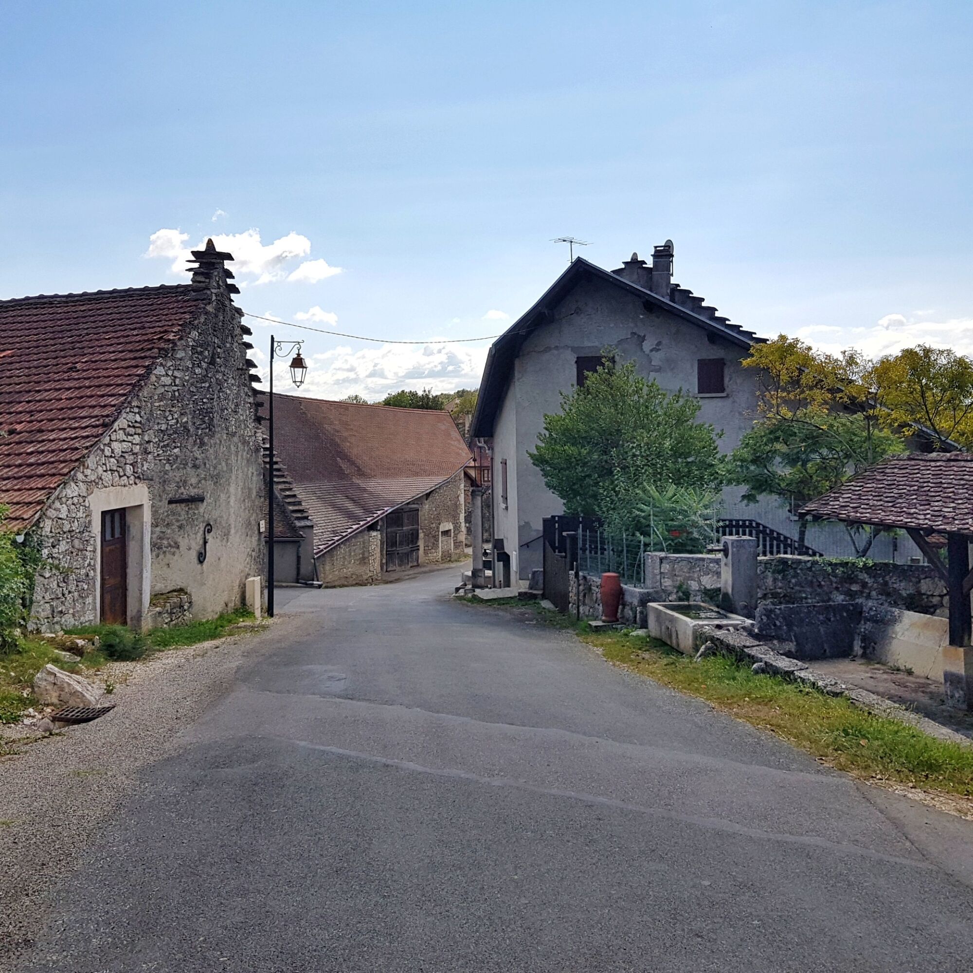
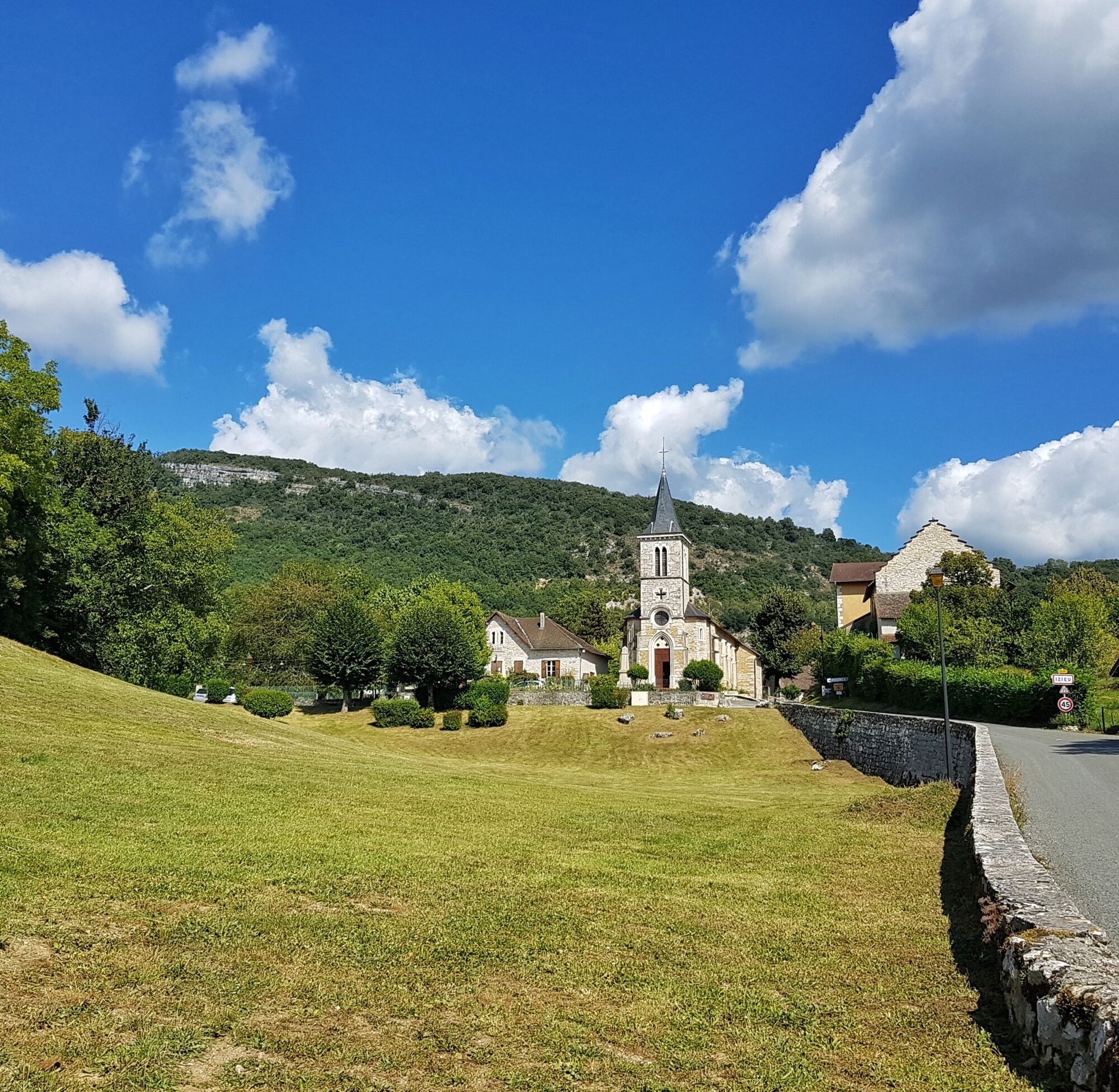
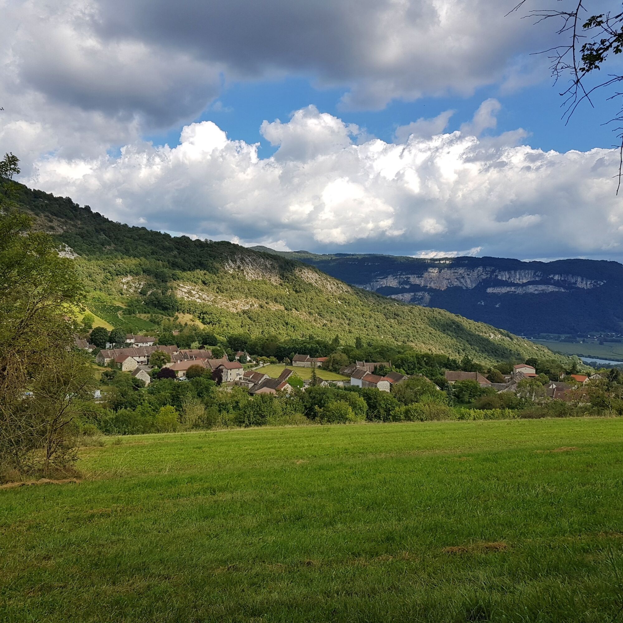
Discover the village of Izieu, a small village perched above the Rhône River and its gabled houses with steps, characteristic of this part of Bugey. The route offers views of the Rhône and the mountain...
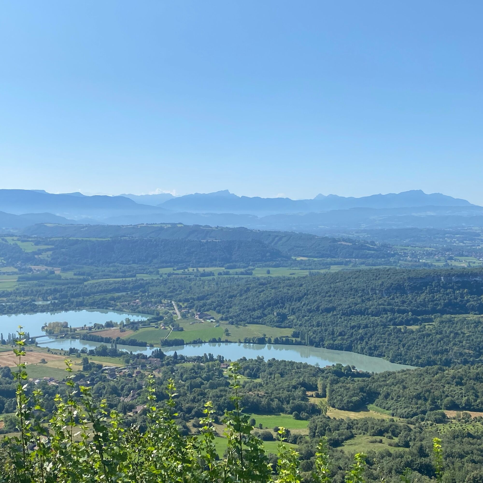
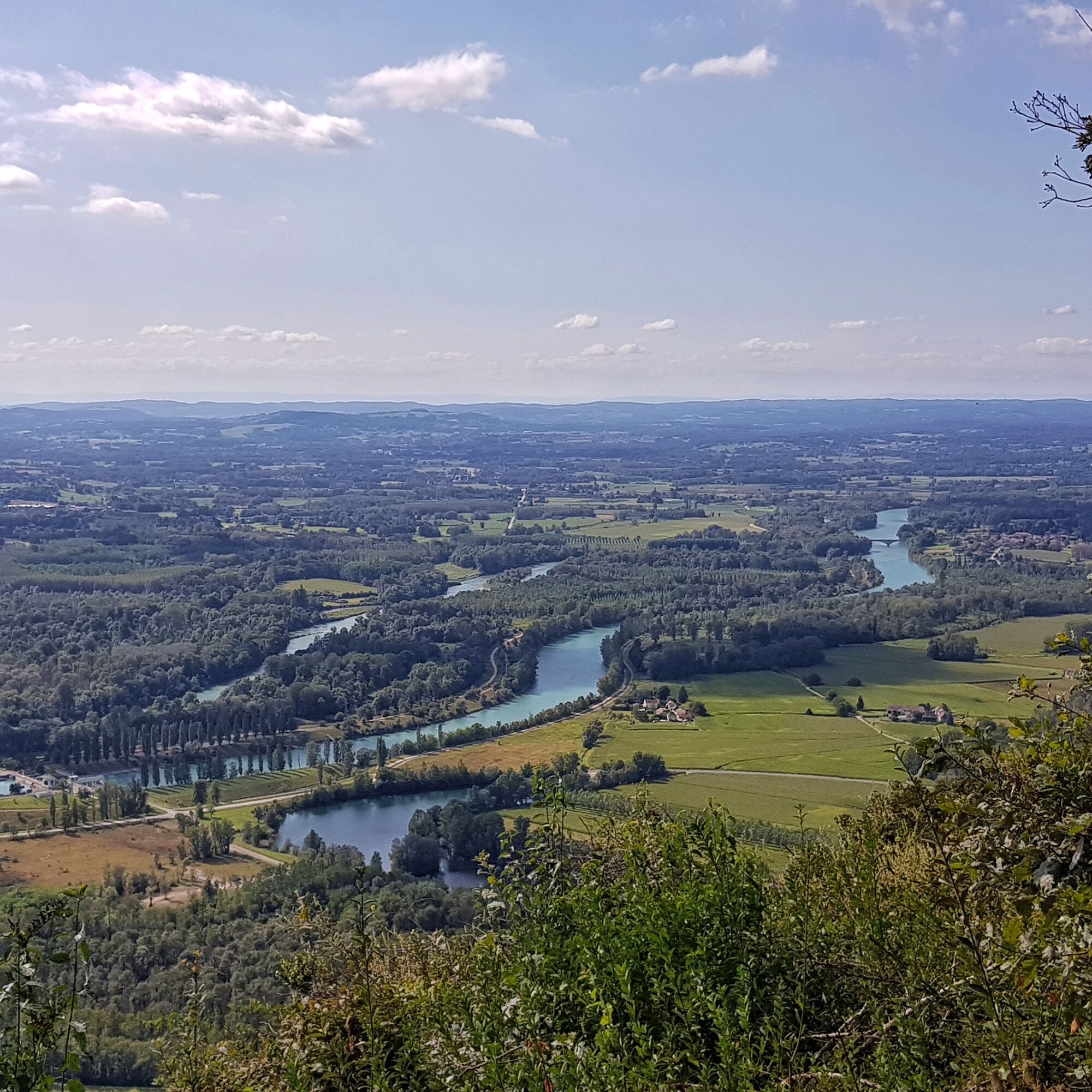
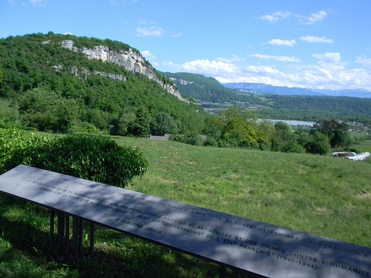
Discover the village of Izieu, a small village perched above the Rhône River and its gabled houses with steps, characteristic of this part of Bugey. The route offers views of the Rhône and the mountain ranges of Chartreuse and Vercors.


Da
Defective marking, incidents / safety, usage conflicts, illegal dumping? Locate and share the problem encountered on the national alert system via the SURICATE app or the website https://sentinelles.sportsdenature.fr/
T1
APIDAE Tourism data updated on 10/24/2022 by "Office de Tourisme Bugey Sud Grand Colombier".
An error on this sheet? Write to the owner by referencing these details:
Sheet name: Hiking route: La croix Saint Clair | Sheet ID: 5366874 | URL (link) of this Outdooractive page.
This route is part of the "Ain Outdoor" selection.
Priljubljeni izleti v okolici
- 5.0
Hike : Tour du Mont de Cordon
svetlobaPohodništvo 7.16 km Trail along the water (Sentier de l'eau)
srednjaPohodništvo 7.28 kmHike : Armaille Lake
svetlobaPohodništvo 9.42 kmHike starting from Parves-et-Nattages: le circuit du Sorbier
svetlobaPohodništvo 11.4 kmMTB track 1 green - Rothonne forest: Le Renard - Espace FFC Ain Forestière
svetlobaMountainbike 4.93 km5-MTB trail - Lac d'Armaille - Espace FFC Ain Forestière
težkoMountainbike 26.7 kmMTB track 2 blue - Rothonne forest: Le Cerf - Espace FFC Ain Forestière
svetlobaMountainbike 8.94 kmMTB trail 7 - Montagne de Parves - Espace FFC Ain Forestière
težkoMountainbike 28.6 kmWalks in the forest of Rothonne
svetlobaPohodništvo 8.88 kmHike: Innimond cross
težkoPohodništvo 12.8 km

Pohodništvo in sledenje


Ne zamudite ponudb in navdiha za naslednje počitnice
Vaš e-poštni naslov je bil dodan na poštni seznam.





