







MTB trail 7 - Montagne de Parves - Espace FFC Ain Forestière
Stopnja težavnosti: S2
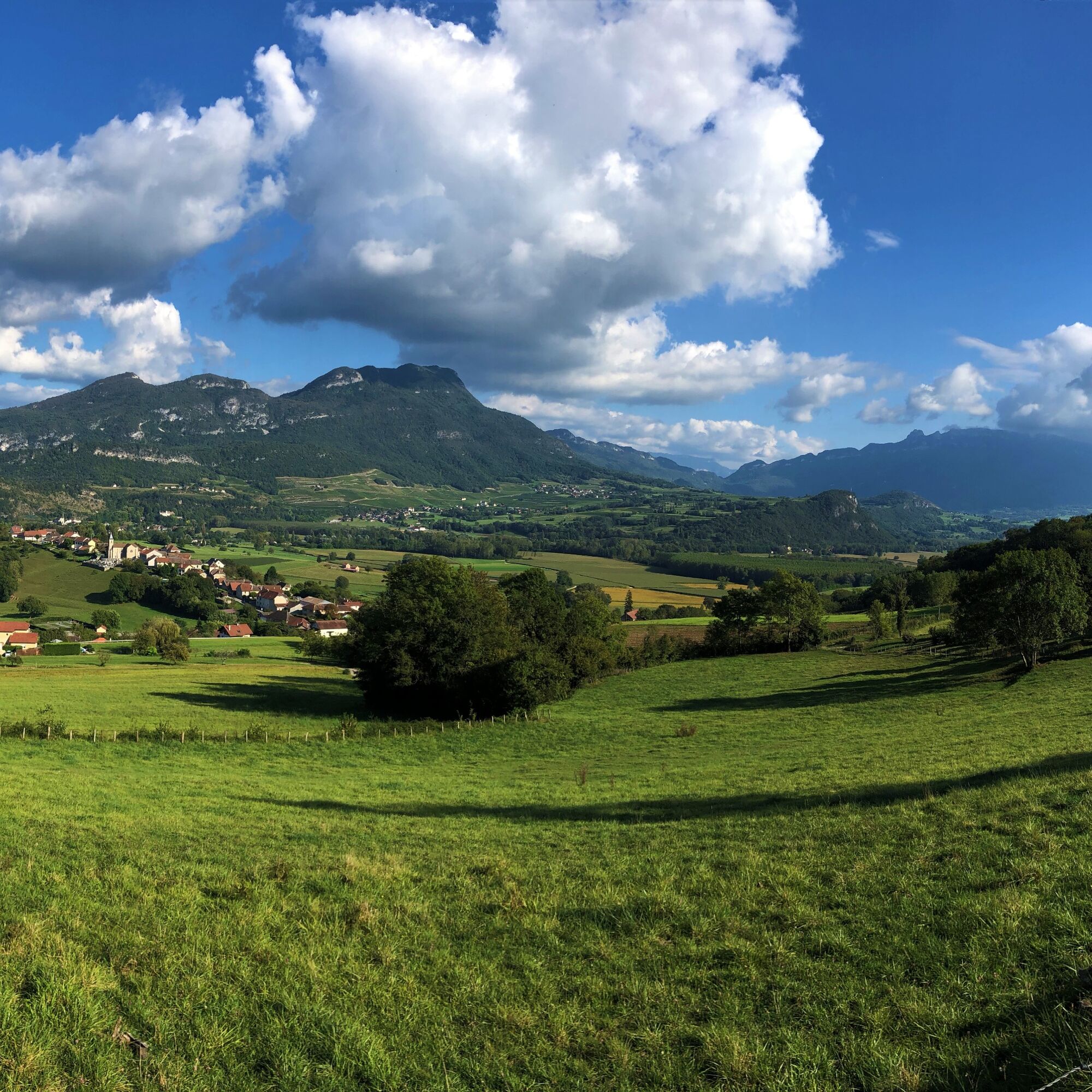
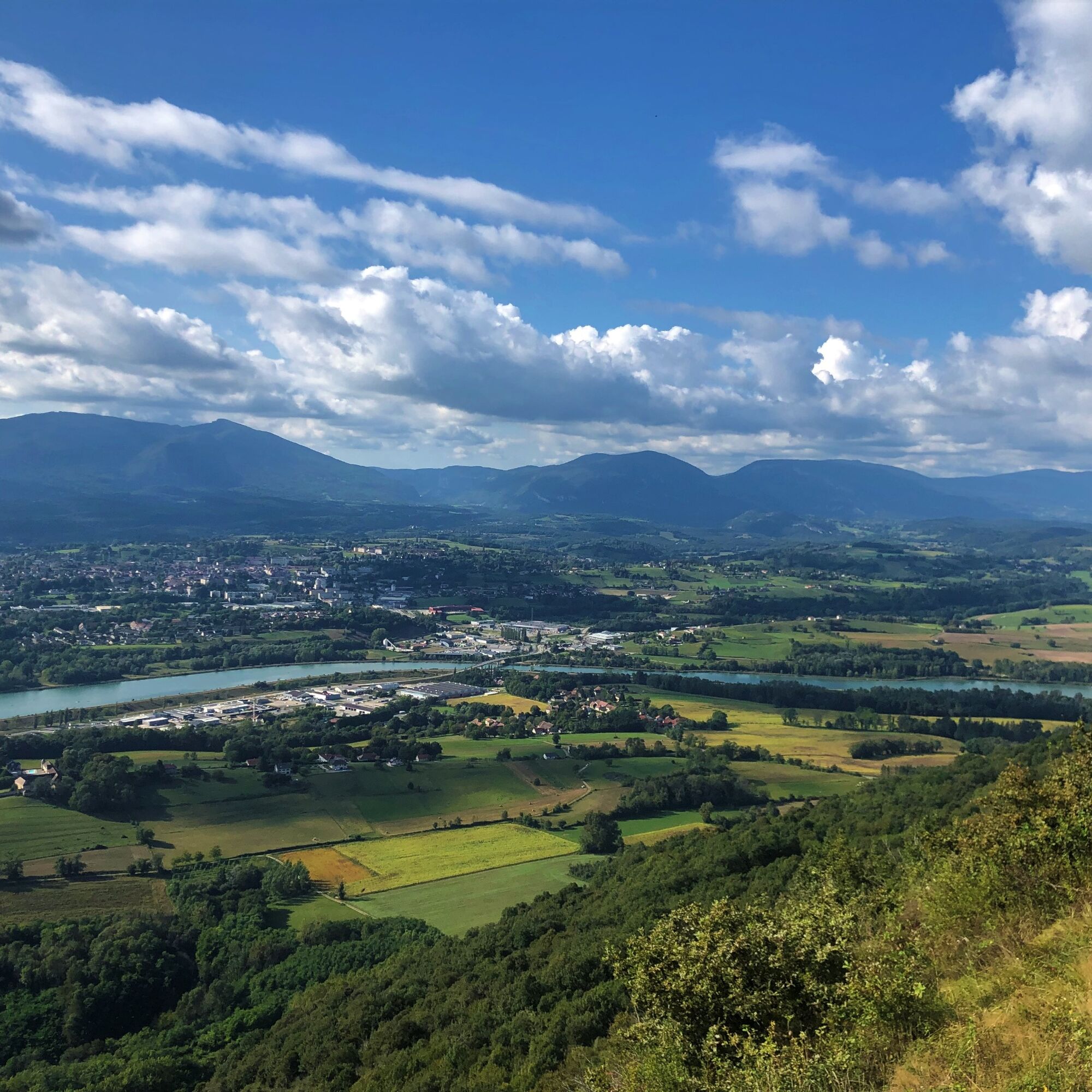
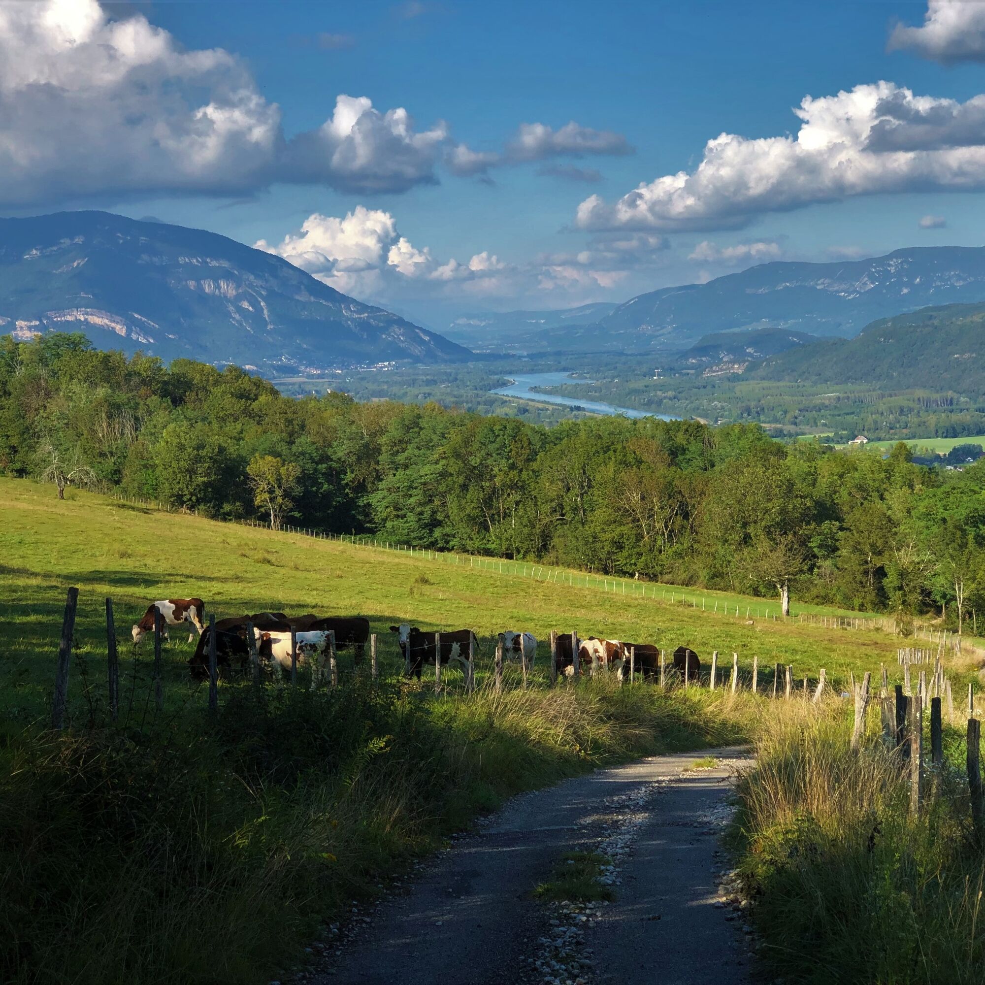
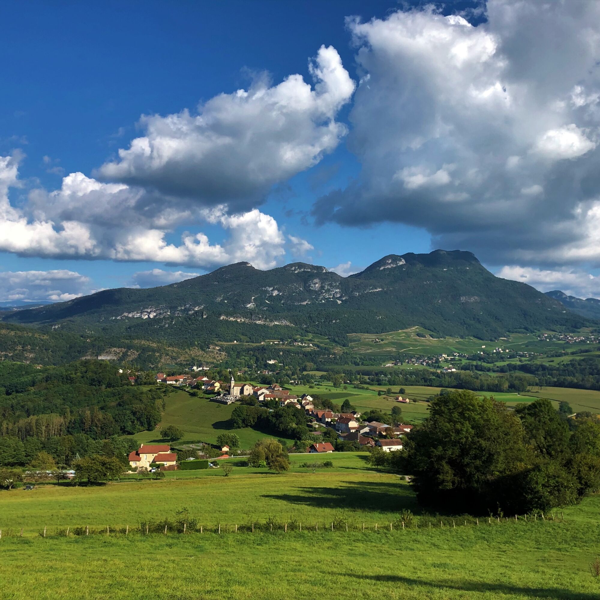
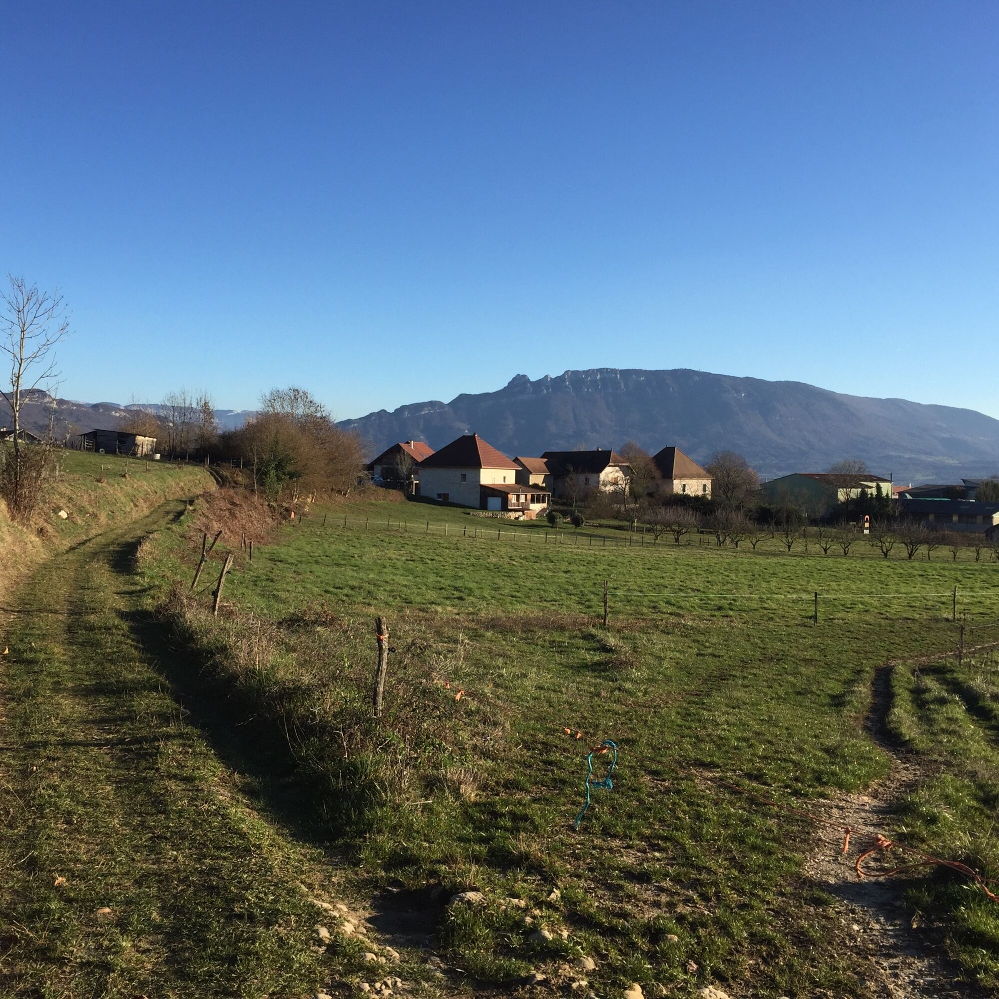
After a very easy start on the ViaRhôna cycle path, you will face several steep slopes between Massignieu-de-Rives and Parves.
After enjoying the beautiful views from the top of this islet surrounded by...
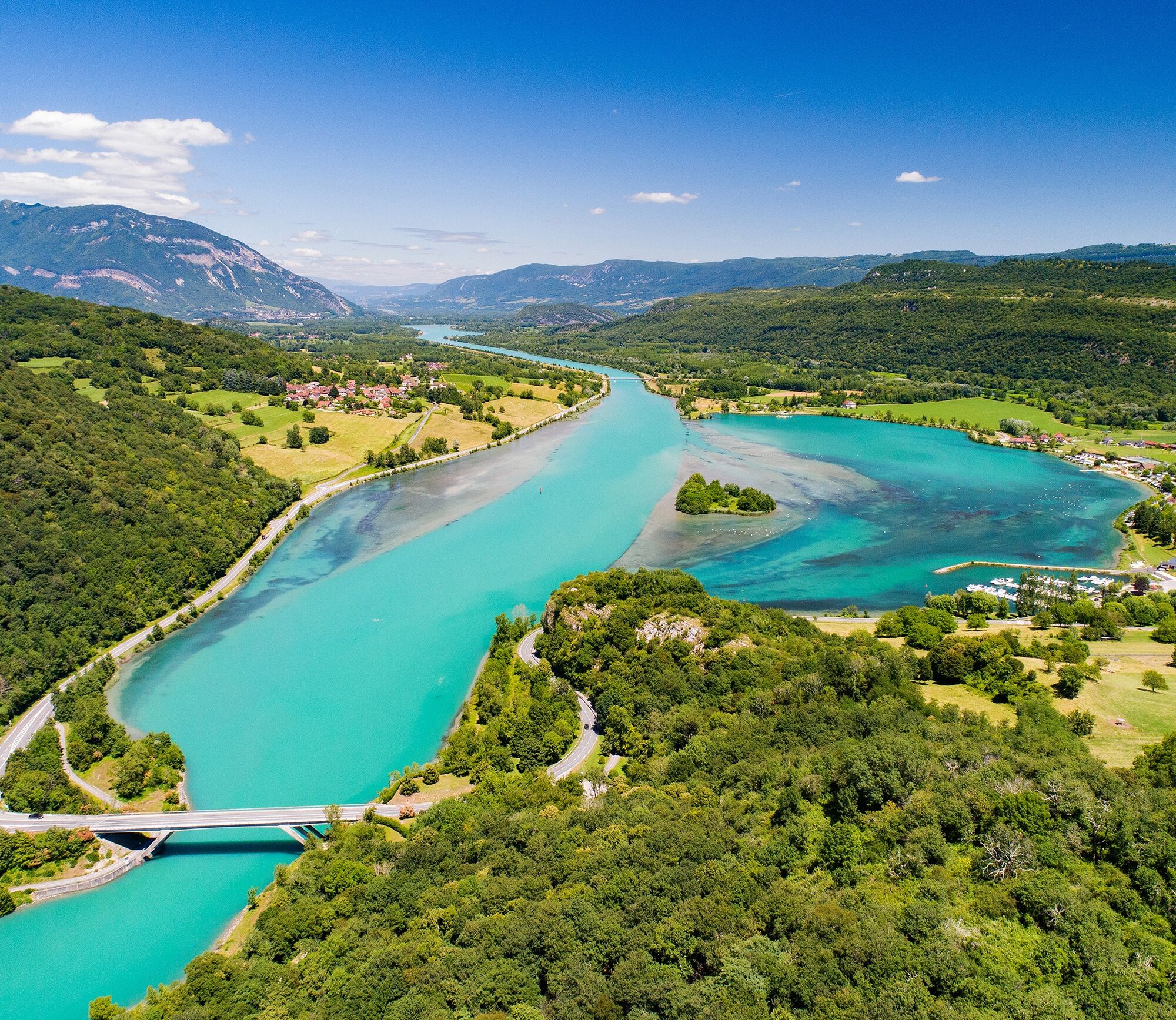
After enjoying the beautiful views from the top of this islet surrounded by the Rhône River on both sides, he will lead you to Virignin, then back to Belley via part of the ViaRhôna.
Be careful, the descent to Virignin includes technical parts.


Follow the marking 7 from the Maison St Anthelme.
Da
Da
It is highly recommended to have water, a helmet, a mobile phone, and a repair kit.
Respect the MTB rider's charter, do not hesitate to walk the more technical sections on the descent.
Faulty markings, incidents / safety, user conflicts, illegal dumping? : locate and share the problem encountered on the national alert system via the SURICATE app or via the website https://sentinelles.sportsdenature.fr/
Motorways from Lyon:
A40, exit 8 Saint-Martin-du-Fresne and Hauteville for Les Plans d’Hotonnes and Plateau de Retord
A42, exit 8: Ambérieu-en-Bugey
A43, exit 10 Les Abrets
Departmental roads
D 1504 from Ambérieu-en-Bugey
D 992 from Chambéry
Find detailed access options for the departure by clicking this link.
Several parking lots are accessible all year round, including the high school parking located 2 minutes from the departure at the end of Rue du 5ème Rtm.
S2
APIDAE Tourism data updated on 07/04/2023 by "Office de Tourisme Bugey Sud Grand Colombier".
An error on this sheet? Write to the owner recalling these references:
Sheet name: Circuit VTT 7 : Montagne de Parves | Sheet ID: 527384 | URL (link) of this Outdooractive page.
Be warned, while the start and end of the loop are very smooth on the cycle path, the climb from Massignieu-de-Rives is a tough, very physical section and the descent towards Virignin is quite technical in some places.
This route is part of the "Ain Outdoor" selection.
Priljubljeni izleti v okolici
-
5.0
Hike : Tour du Mont de Cordon
svetlobaPohodništvo 7.16 km -
Trail along the water (Sentier de l'eau)
srednjaPohodništvo 7.28 km -
1.0
Hike of the Clairefontaine waterfall
svetlobaPohodništvo 5.46 km -
5.0
Hike: Barterand lake
svetlobaPohodništvo 7.23 km -
Cycling tour : Marshes and vineyards in Bugey
svetlobaCestno kolo 33.1 km -
Hike : Armaille Lake
svetlobaPohodništvo 9.42 km -
Hike starting from Parves-et-Nattages: le circuit du Sorbier
svetlobaPohodništvo 11.4 km -
Hike: mountain pastures of the Grand Colombier
srednjaPohodništvo 5.23 km -
MTB track 1 green - Rothonne forest: Le Renard - Espace FFC Ain Forestière
svetlobaMountainbike 4.93 km -
Hike : Lake and vineyards
svetlobaPohodništvo 9.76 km
Pohodništvo in sledenje


Ne zamudite ponudb in navdiha za naslednje počitnice
Vaš e-poštni naslov je bil dodan na poštni seznam.





