







Hike : Armaille Lake

Stopnja težavnosti: T1
This hike can be downloaded on the free app Ain Outdoor.

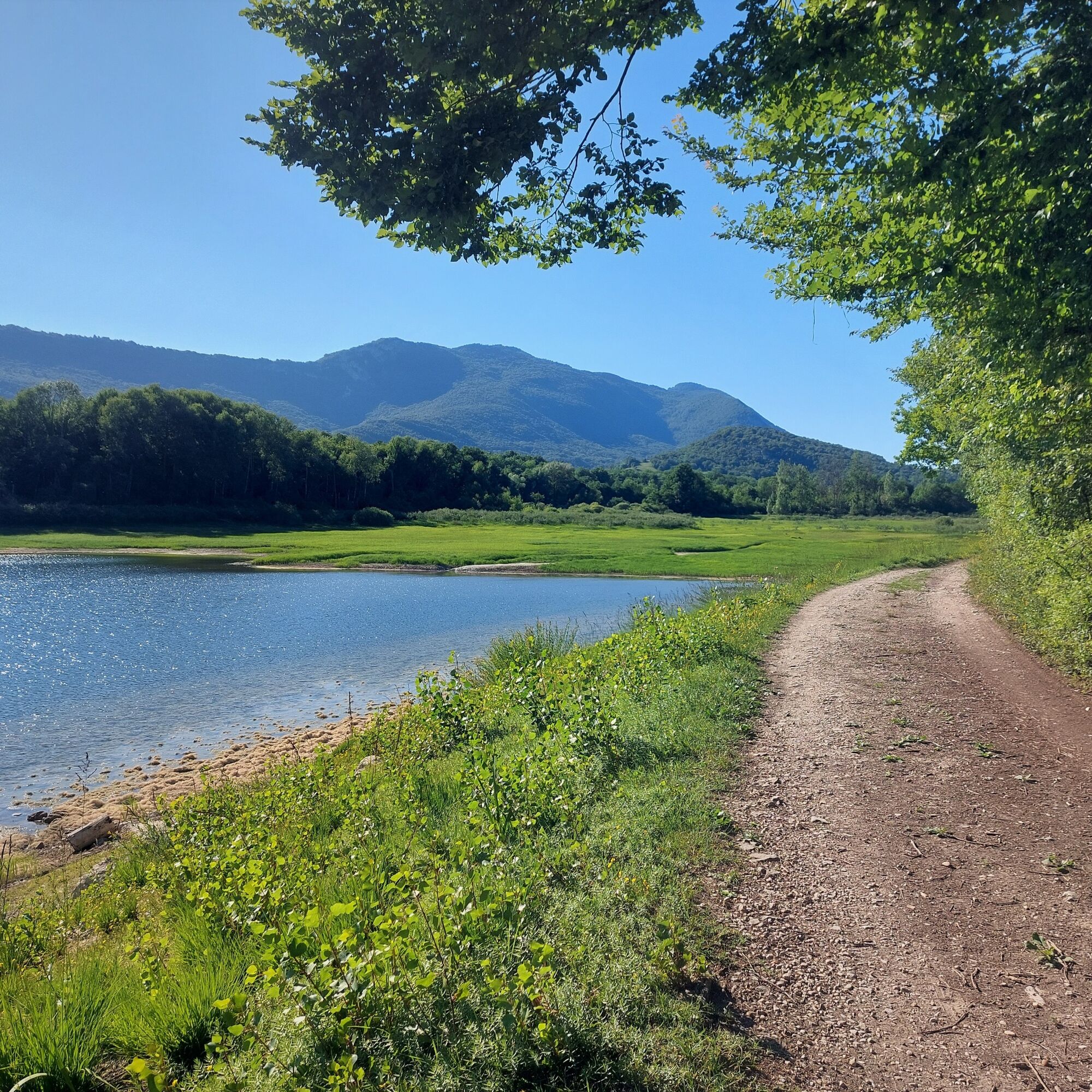
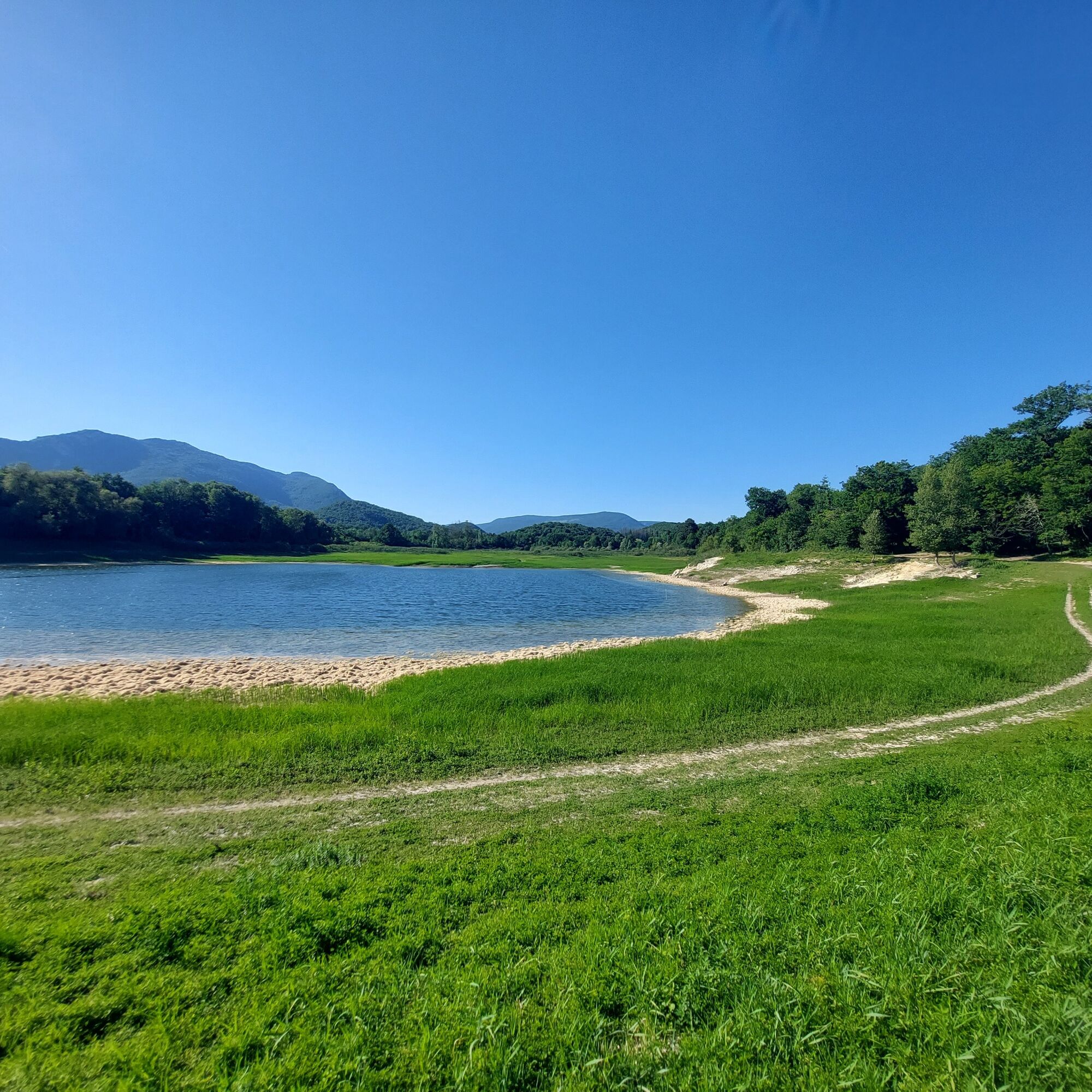
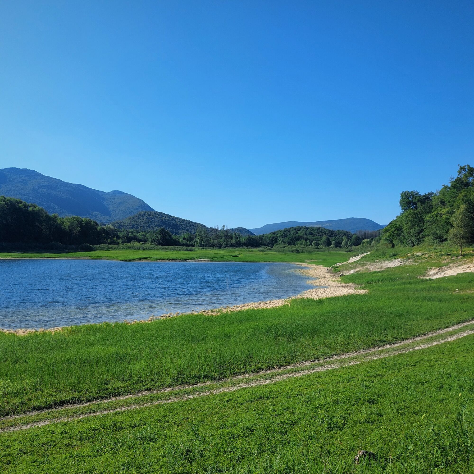
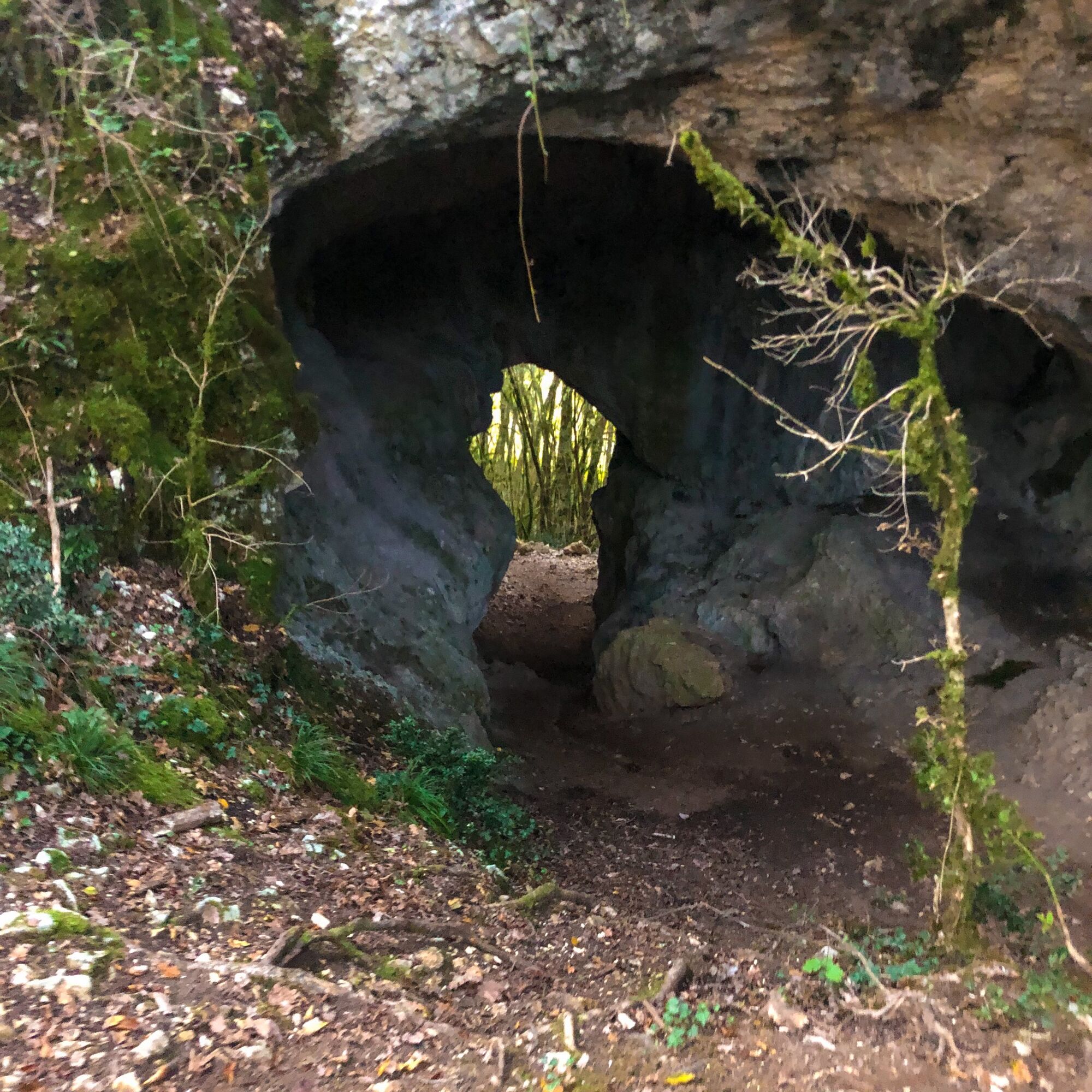
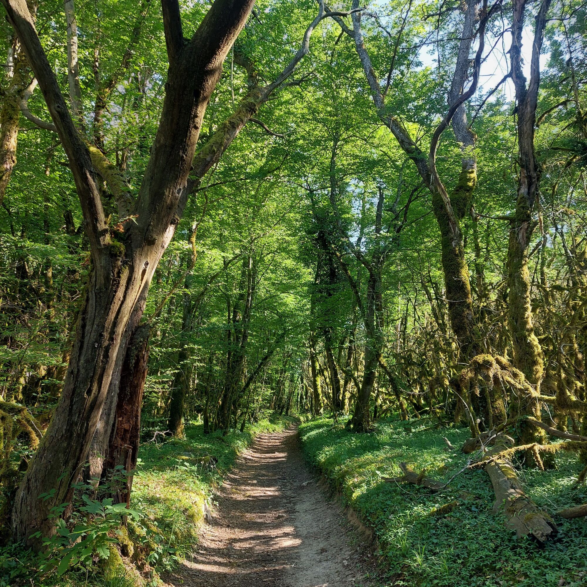
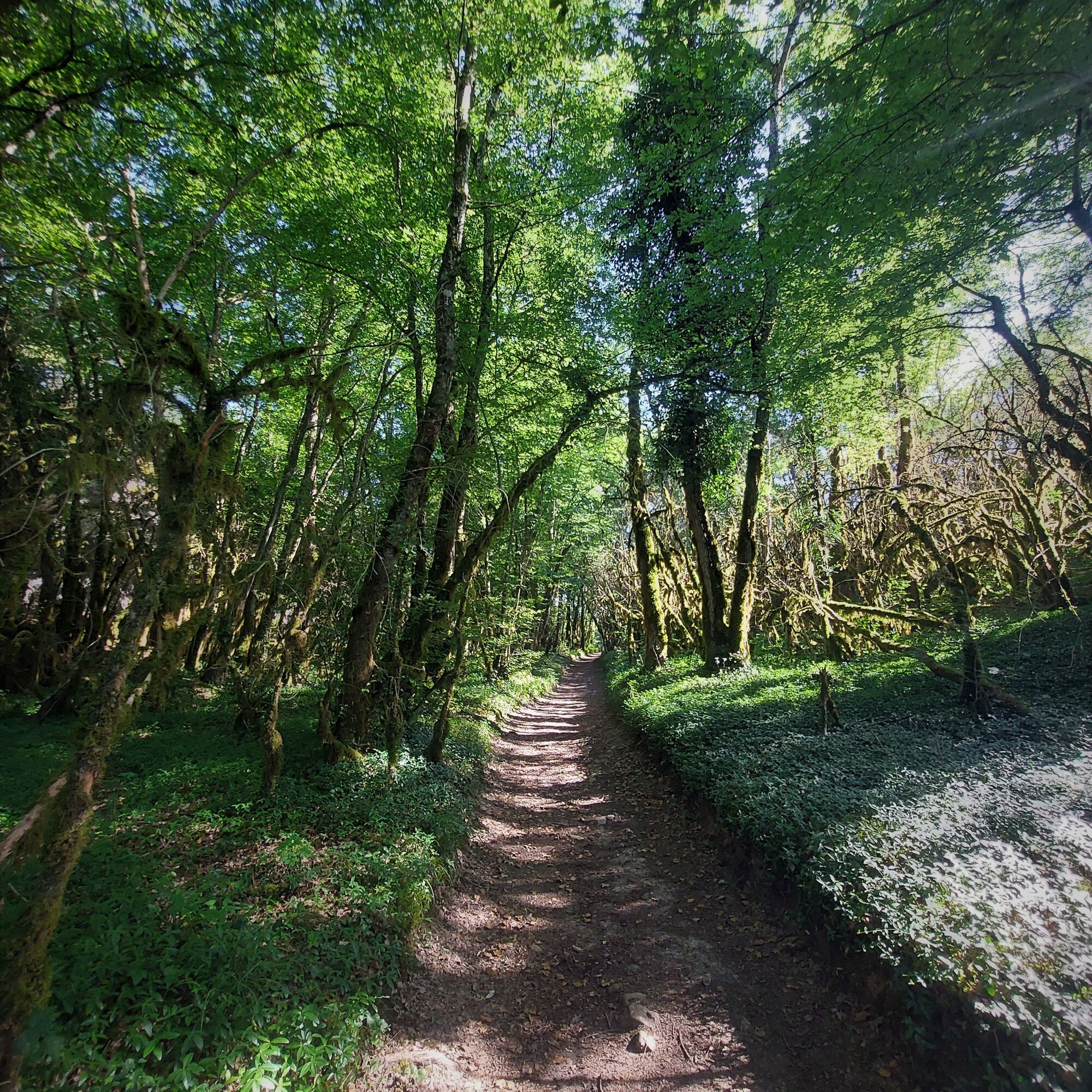
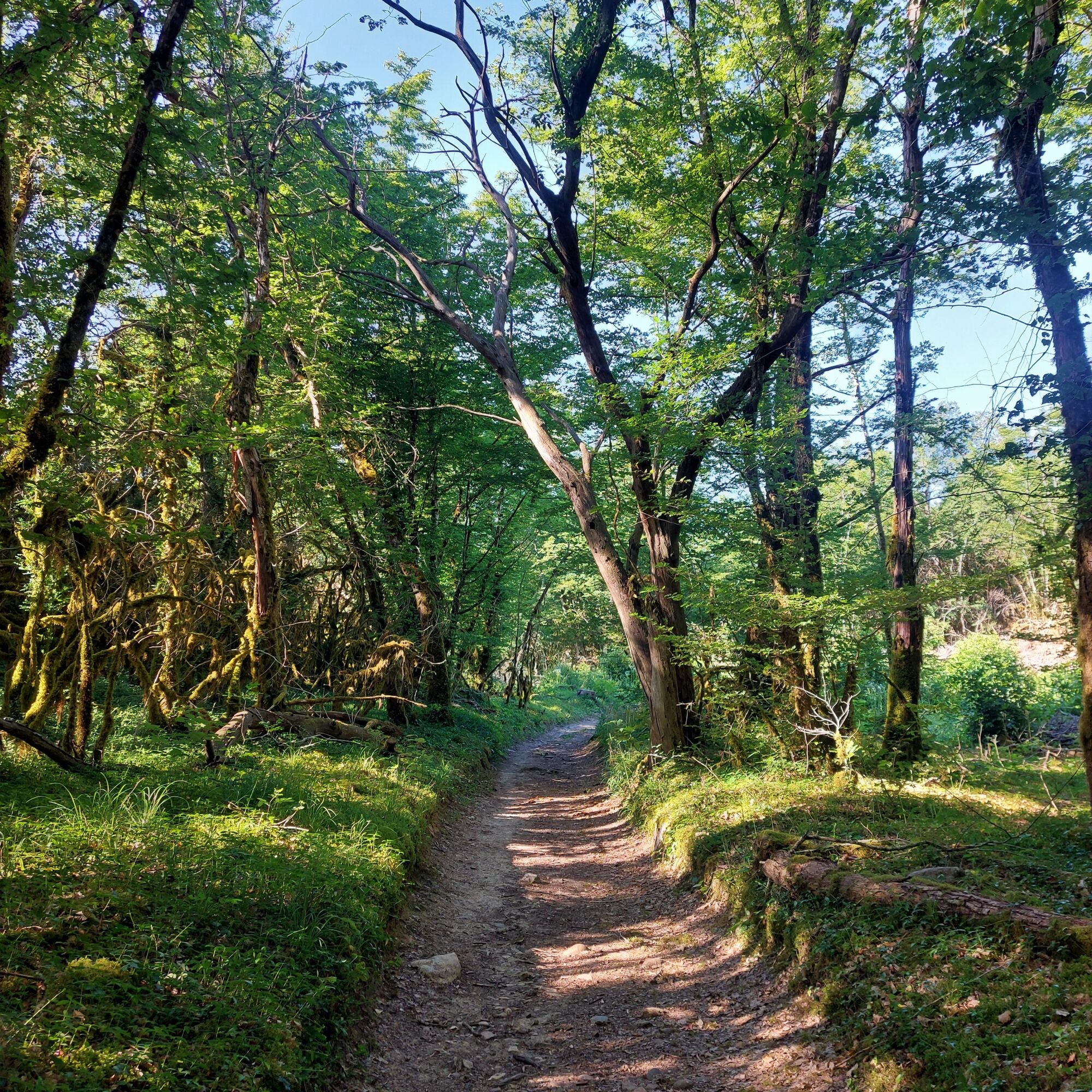
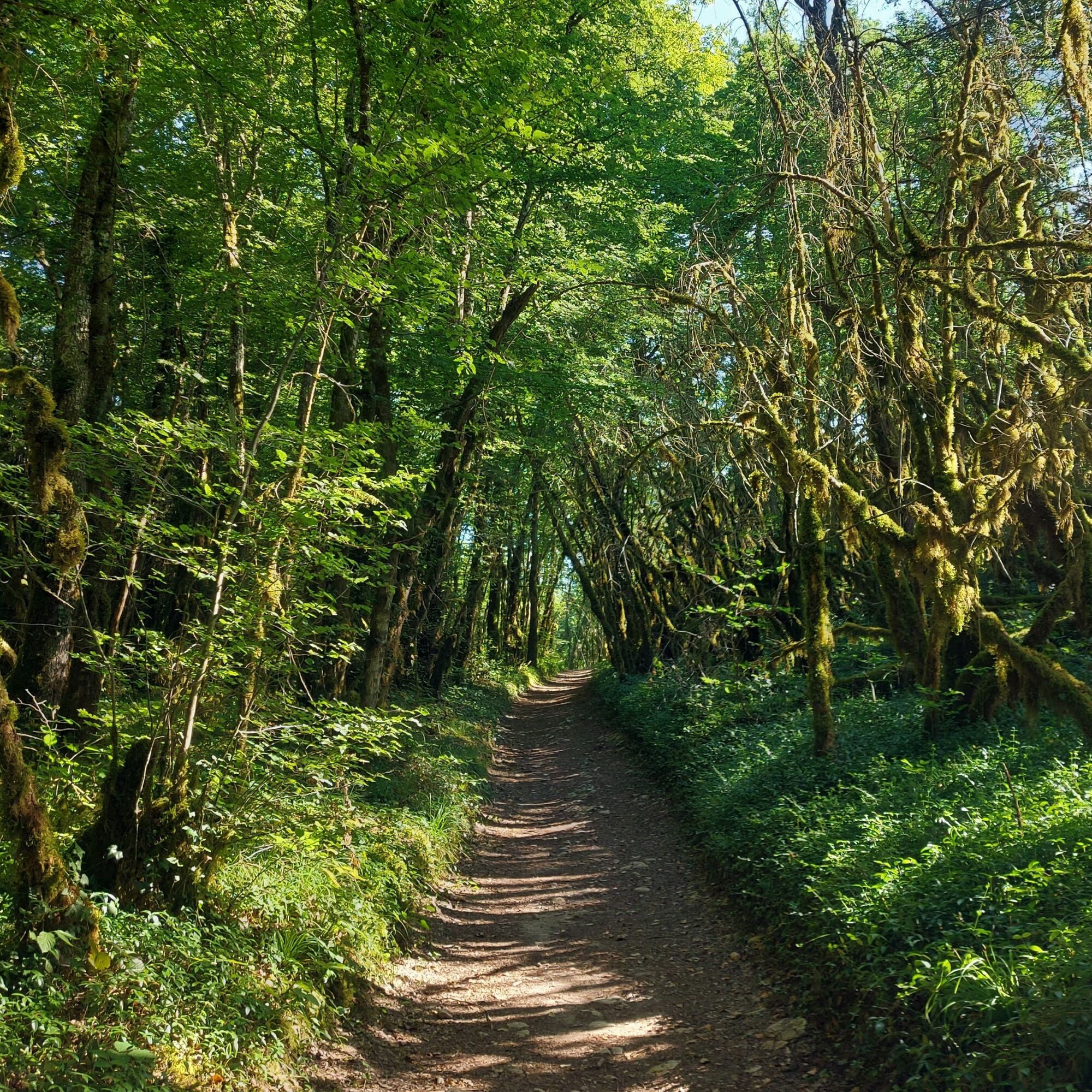
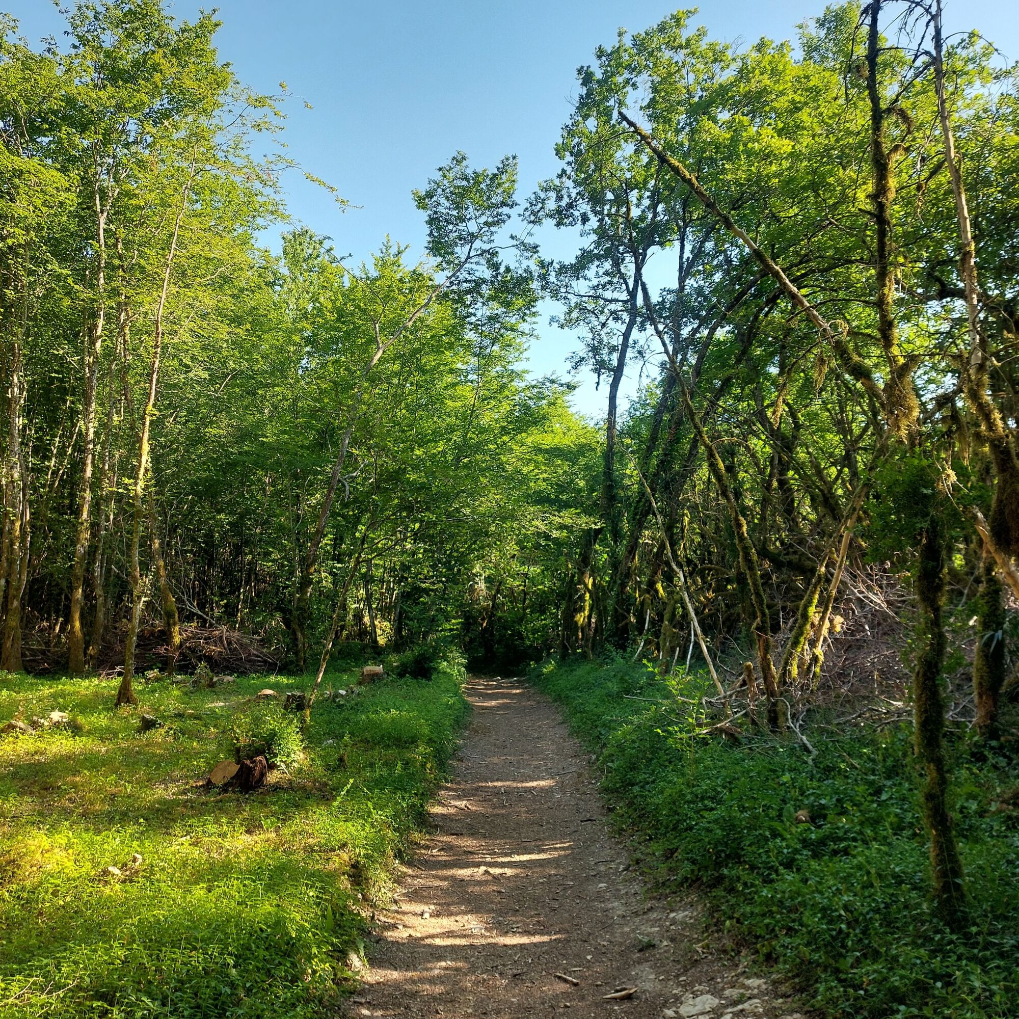
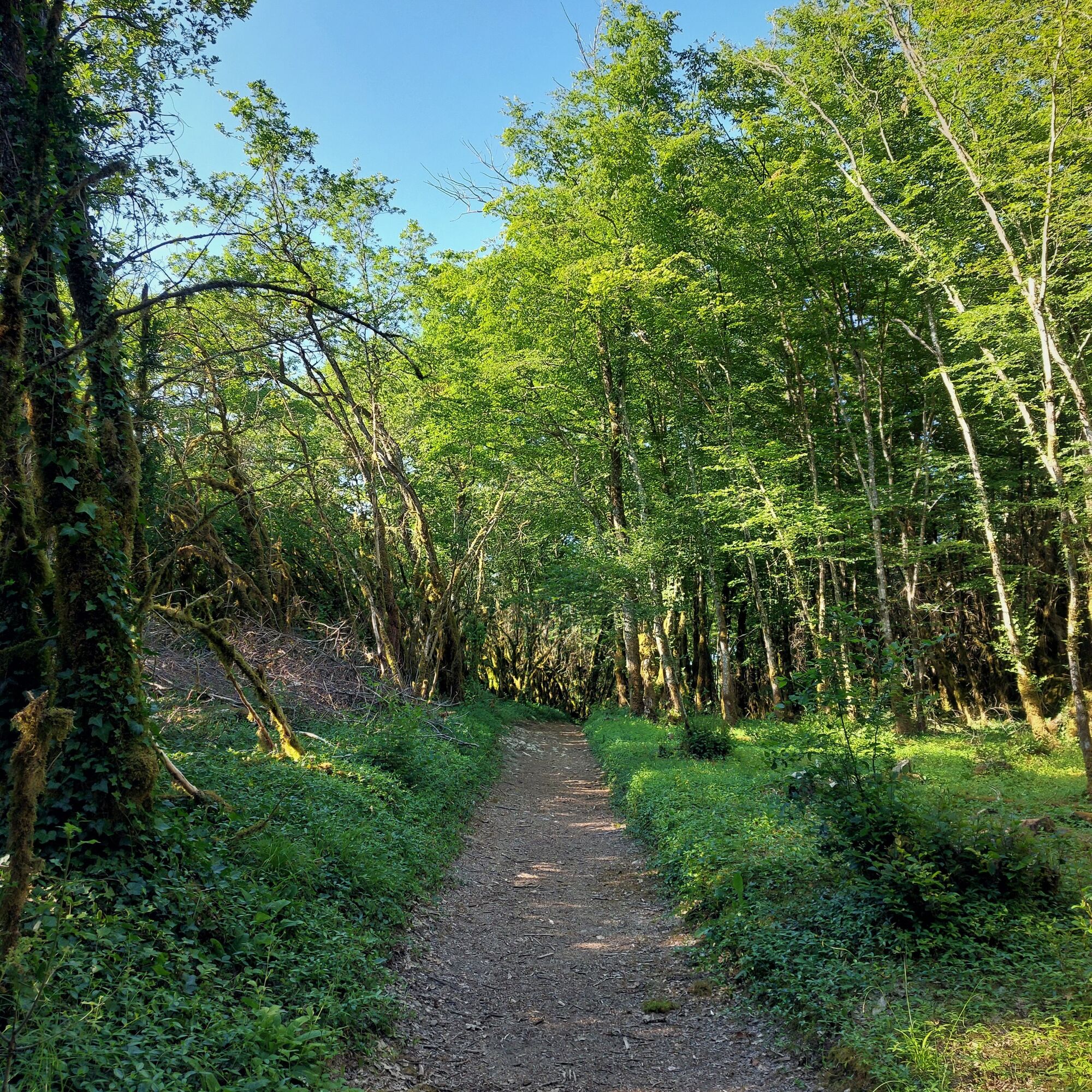
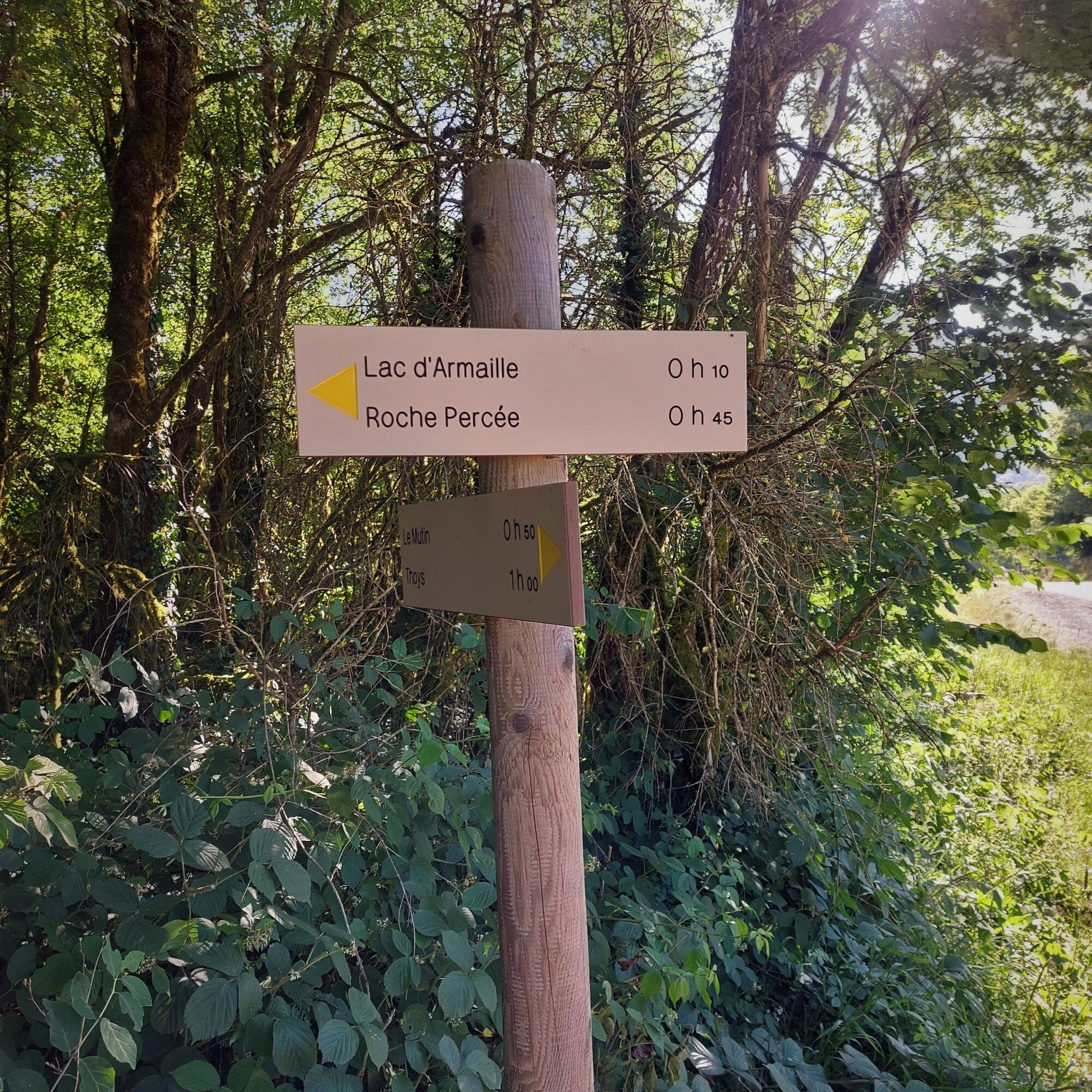
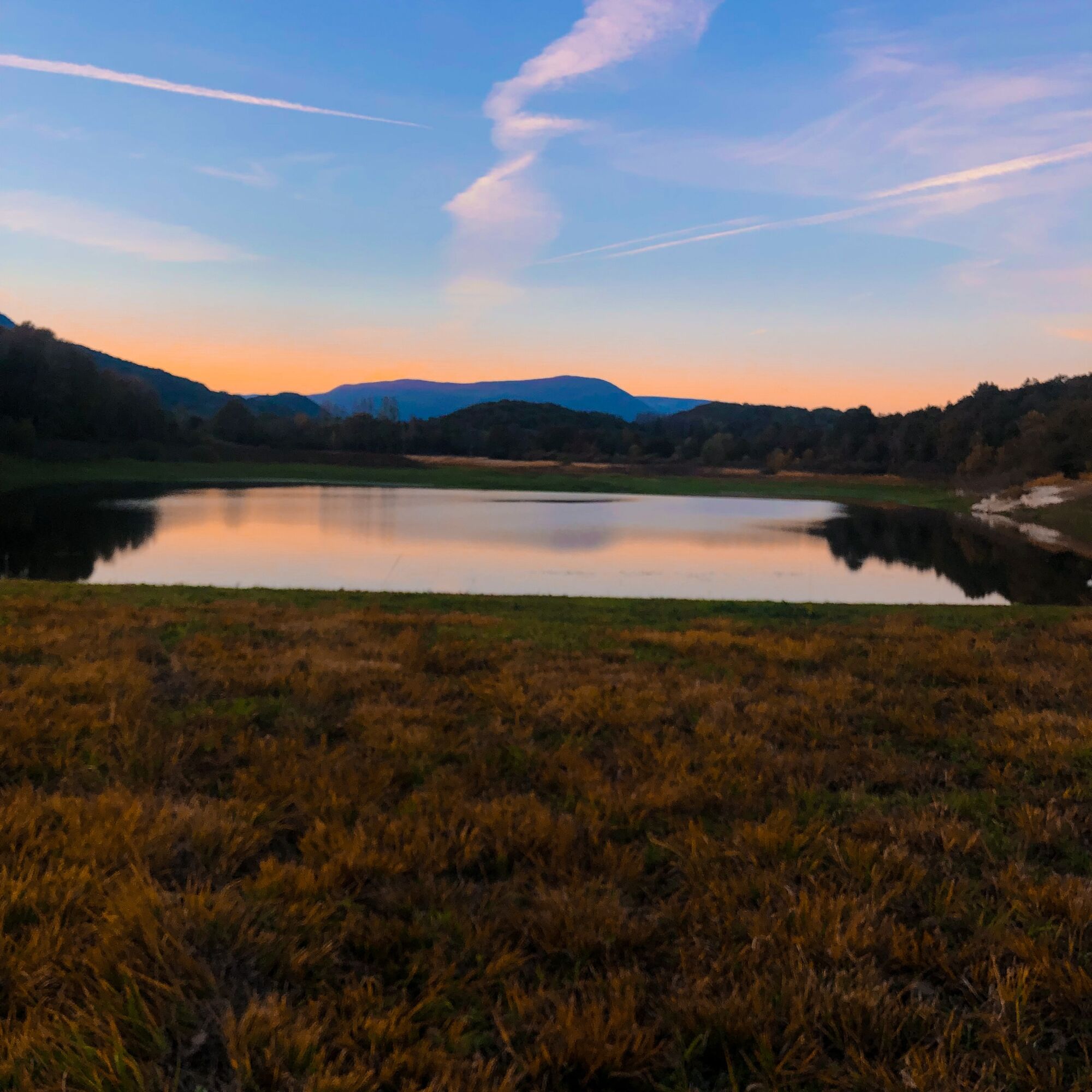
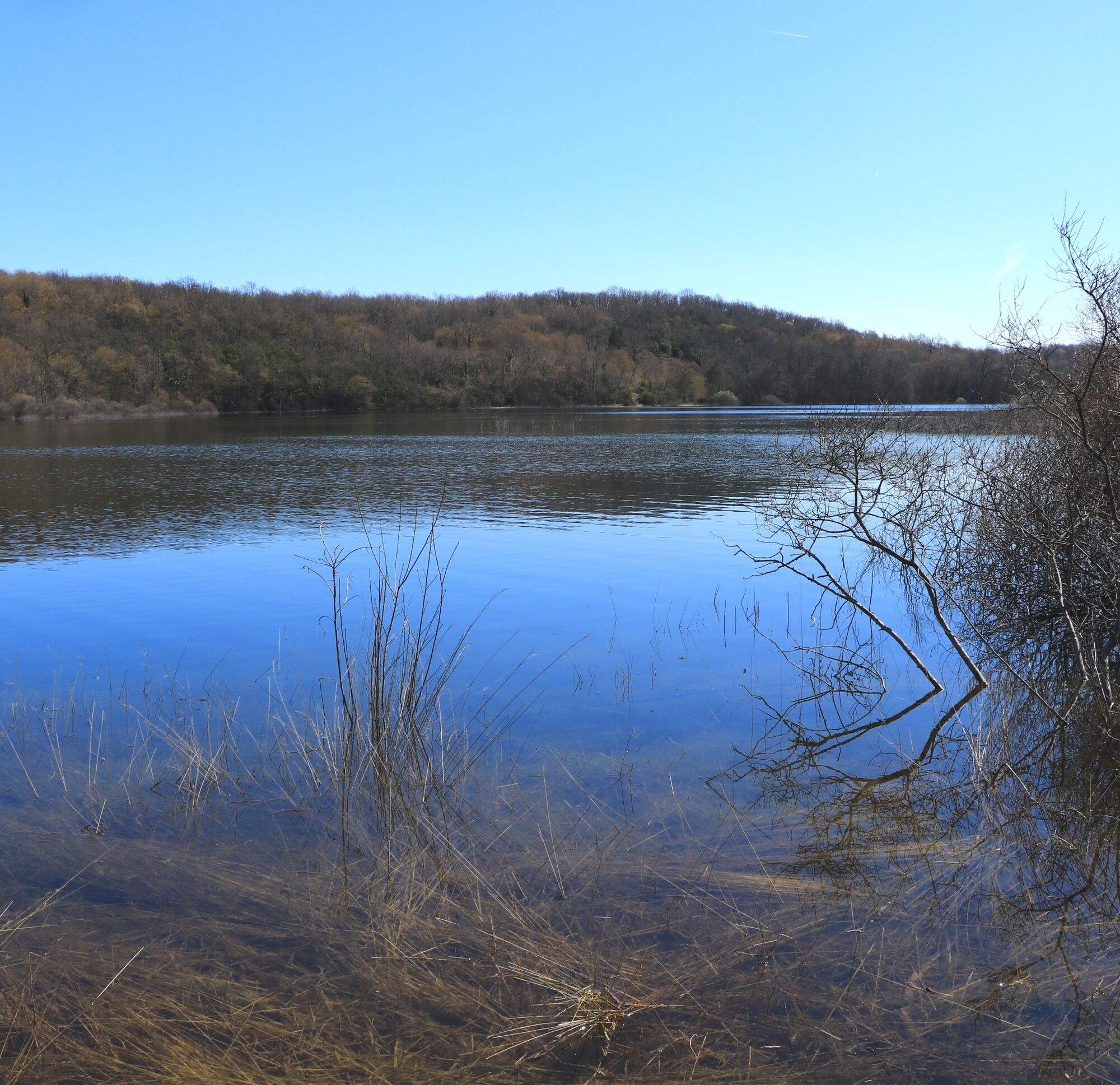

Follow the Armaille stream back to your starting point and follow the markings.
Da
Da
It is necessary to be equipped with good shoes and it is strongly recommended to bring a bottle of water for this hike.
The hike does not include any difficult sections.
Defective markings, incidents / safety, usage conflicts, illegal dumping? : locate and share the encountered problem on the national alert system via the SURICATE app or the website https://sentinelles.sportsdenature.fr/
Access by car is via the D1504 then the D904 from Ambérieu-en-Bugey.
The start of this hike is not served by public transport.
A few parking spaces are available along the Armaille stream near the start.
T1
APIDAE Tourism data updated on 24/10/2022 by "Office de Tourisme Bugey Sud Grand Colombier".
An error on this sheet? Write to the owner quoting these references:
Sheet name: Hiking circuit: Le Lac d'Armaille | Sheet ID: 5367388 | URL (link) of this Outdooractive page.
Very pleasant walk in the heart of nature with a very accessible elevation gain close to the capital of Bugey.
This route is part of the "Ain Outdoor" selection.
Priljubljeni izleti v okolici
- 5,0
Hike : Tour du Mont de Cordon
svetlobaPohodništvo 7,16 km Trail along the water (Sentier de l'eau)
srednjaPohodništvo 7,28 km- 1,0
Hike of the Clairefontaine waterfall
svetlobaPohodništvo 5,46 km - 5,0
Hike: Barterand lake
svetlobaPohodništvo 7,23 km Cycling tour : Marshes and vineyards in Bugey
svetlobaCestno kolo 33,1 kmHike starting from Parves-et-Nattages: le circuit du Sorbier
svetlobaPohodništvo 11,4 kmMTB track 1 green - Rothonne forest: Le Renard - Espace FFC Ain Forestière
svetlobaMountainbike 4,93 kmHike : Lake and vineyards
svetlobaPohodništvo 9,76 kmE-mountainbike loop 8 - Marais d'Aignoz - Espace FFC Ain Forestière
težkoMountainbike 44,6 km5-MTB trail - Lac d'Armaille - Espace FFC Ain Forestière
težkoMountainbike 26,7 km
Pohodništvo in sledenje


Ne zamudite ponudb in navdiha za naslednje počitnice
Vaš e-poštni naslov je bil dodan na poštni seznam.





