






The Signal - Monts du Lyonnais - Saint-André-la Côte

Stopnja težavnosti: T1
You'll love:
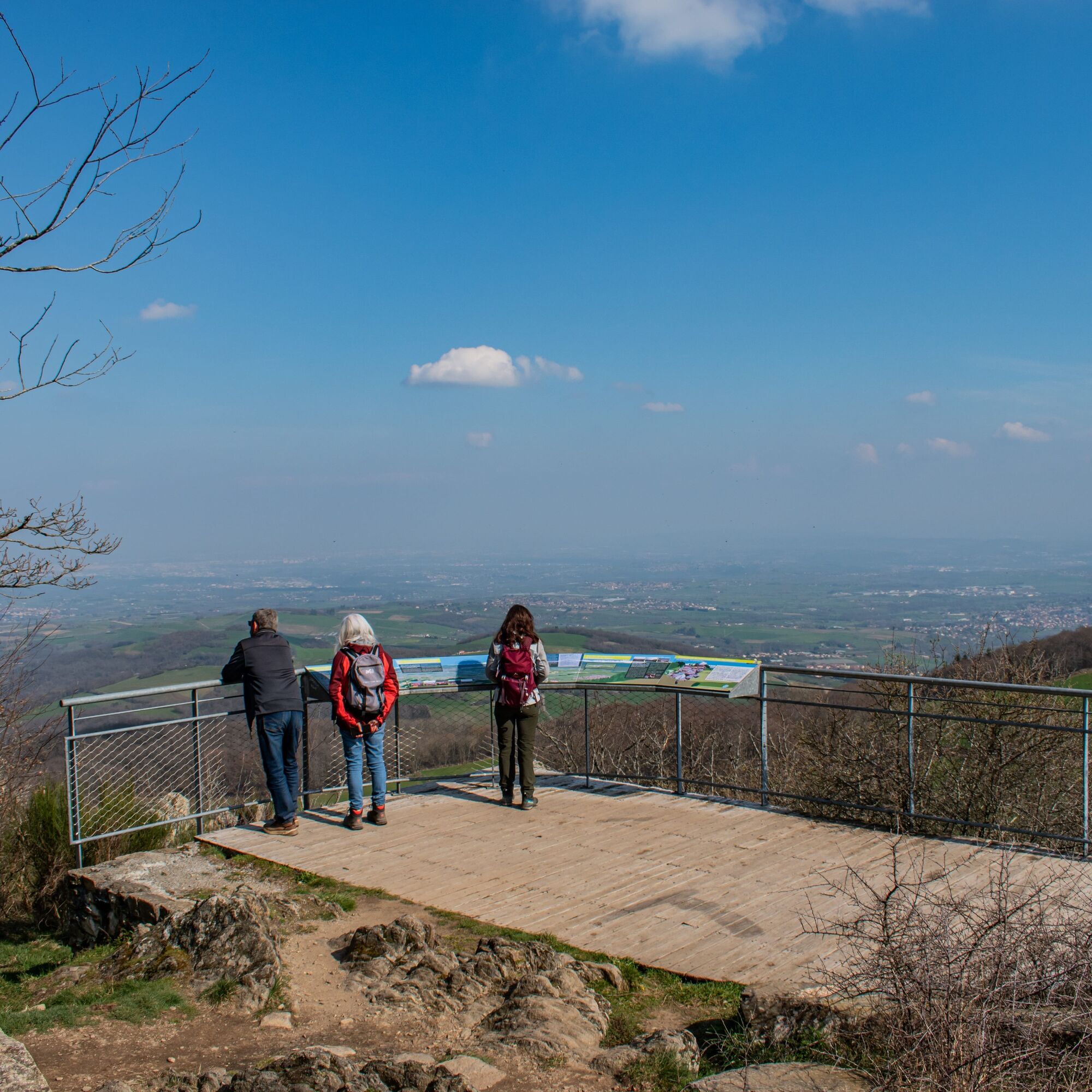
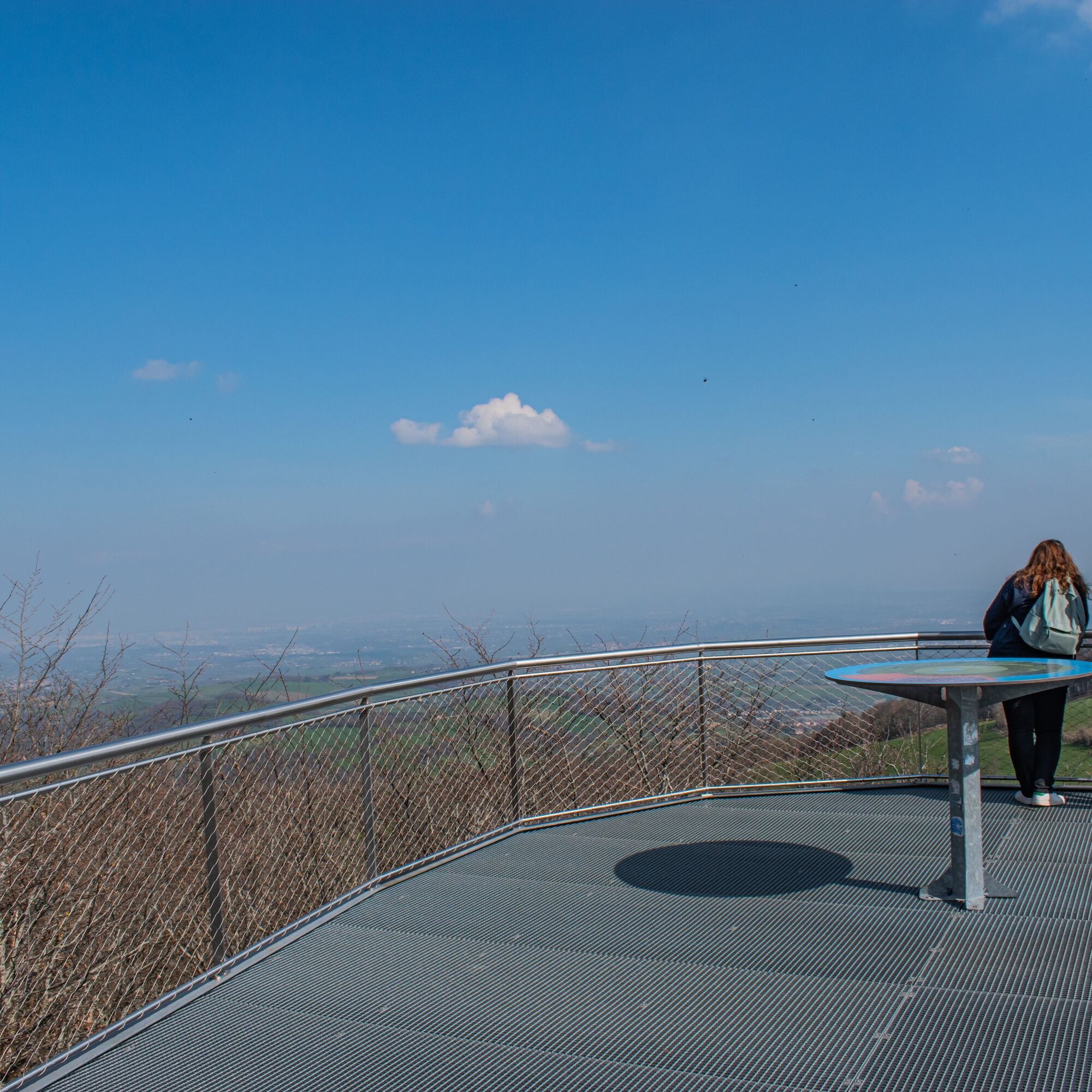
• The Signal site, an iconic high point in the Monts du Lyonnais, located at 934 meters.
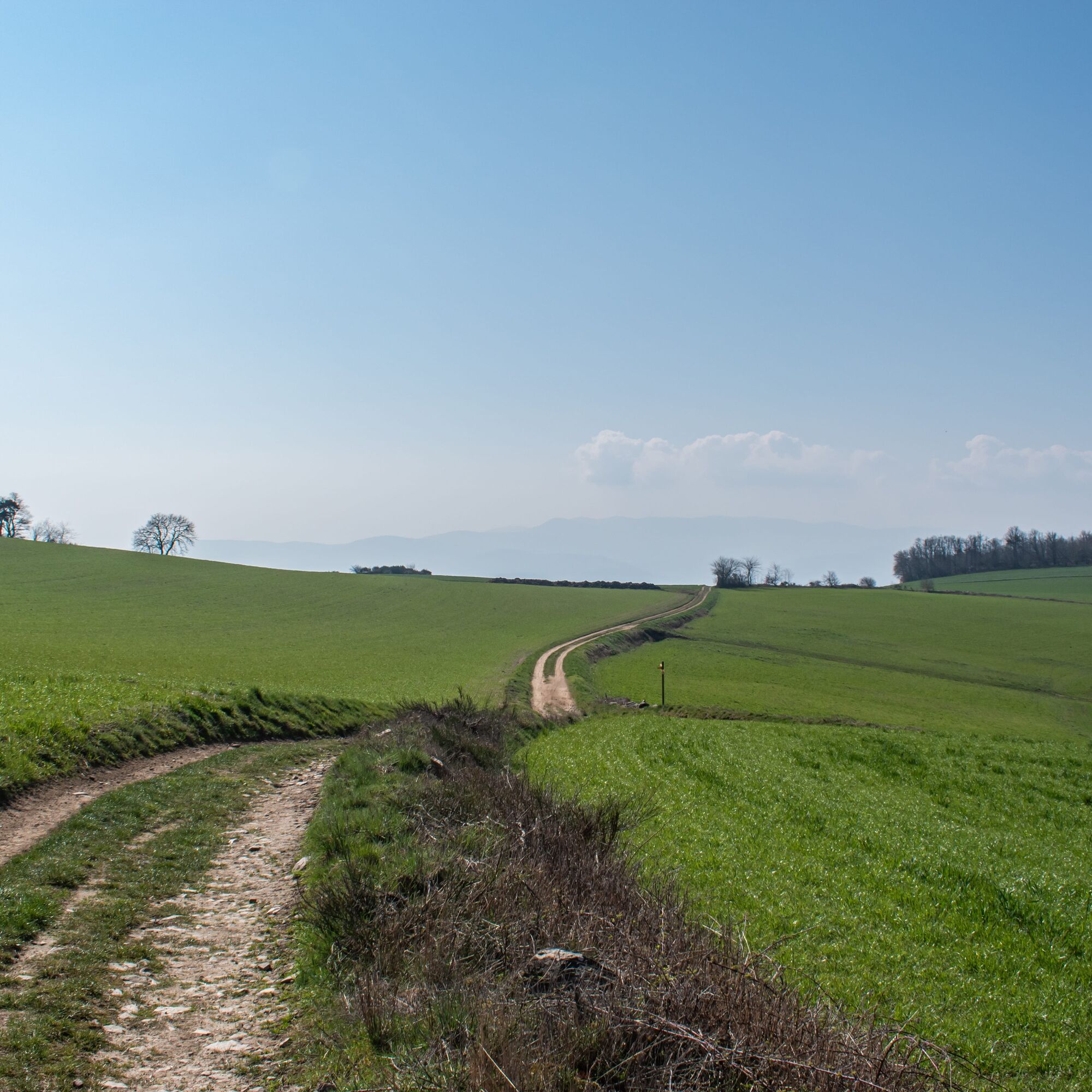
• An invigorating trail featuring mosaics of meadows interspersed with hedges against a backdrop of open...
• The Signal site, an iconic high point in the Monts du Lyonnais, located at 934 meters.
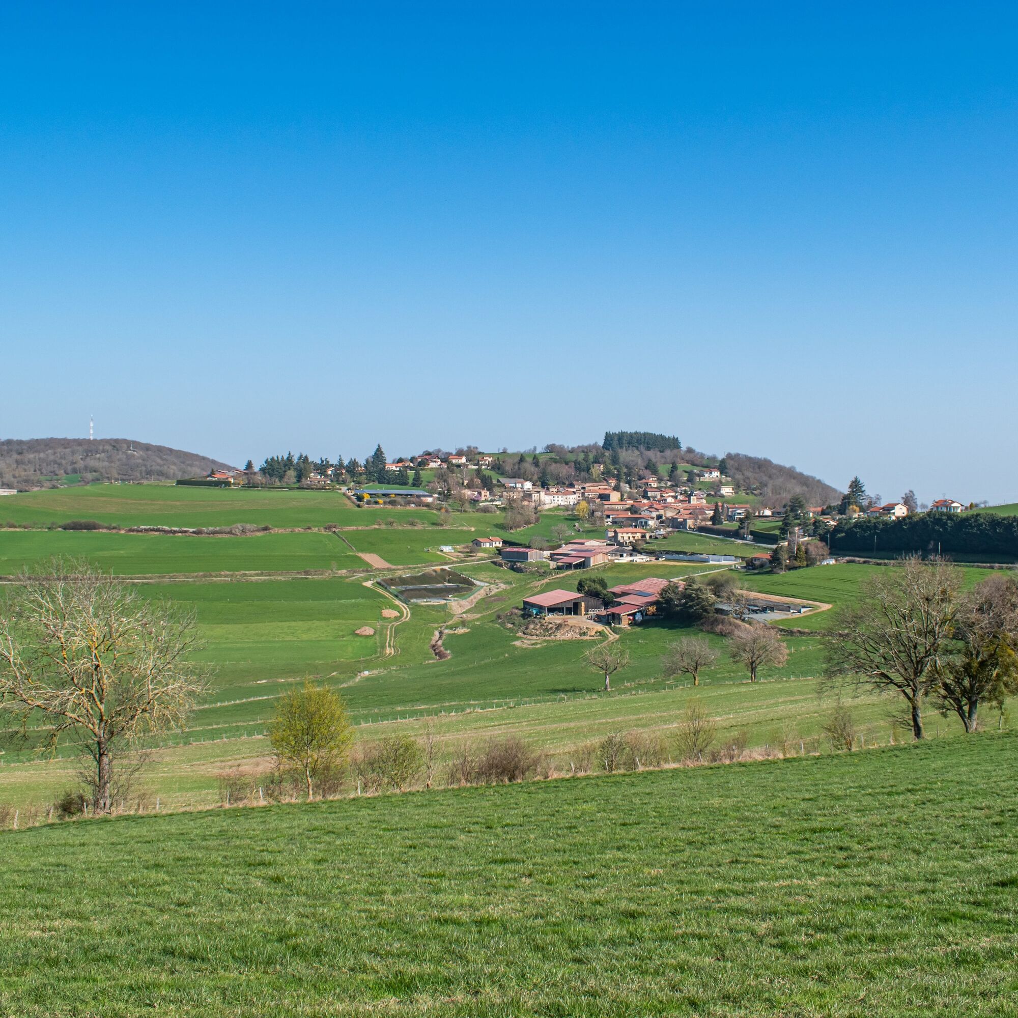
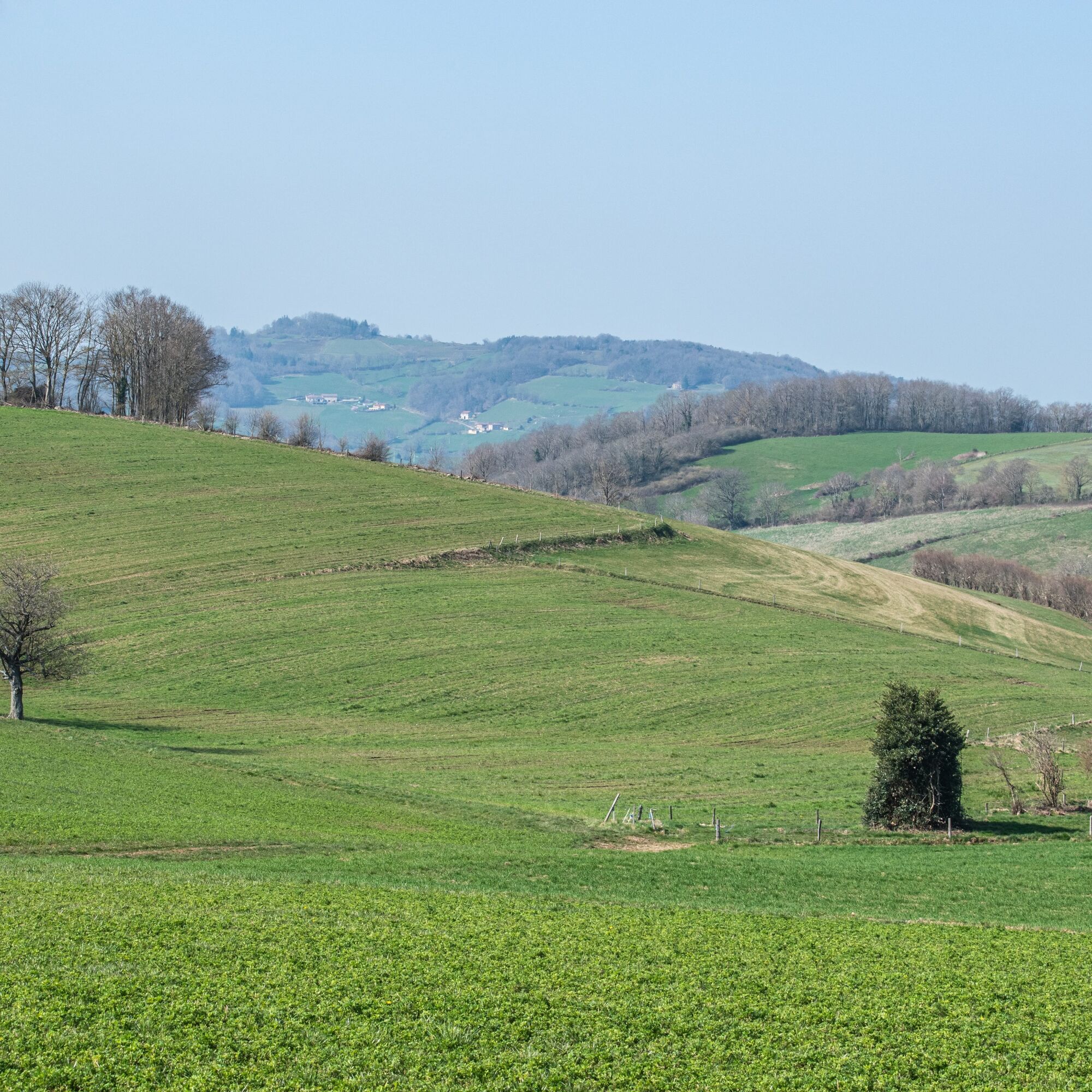
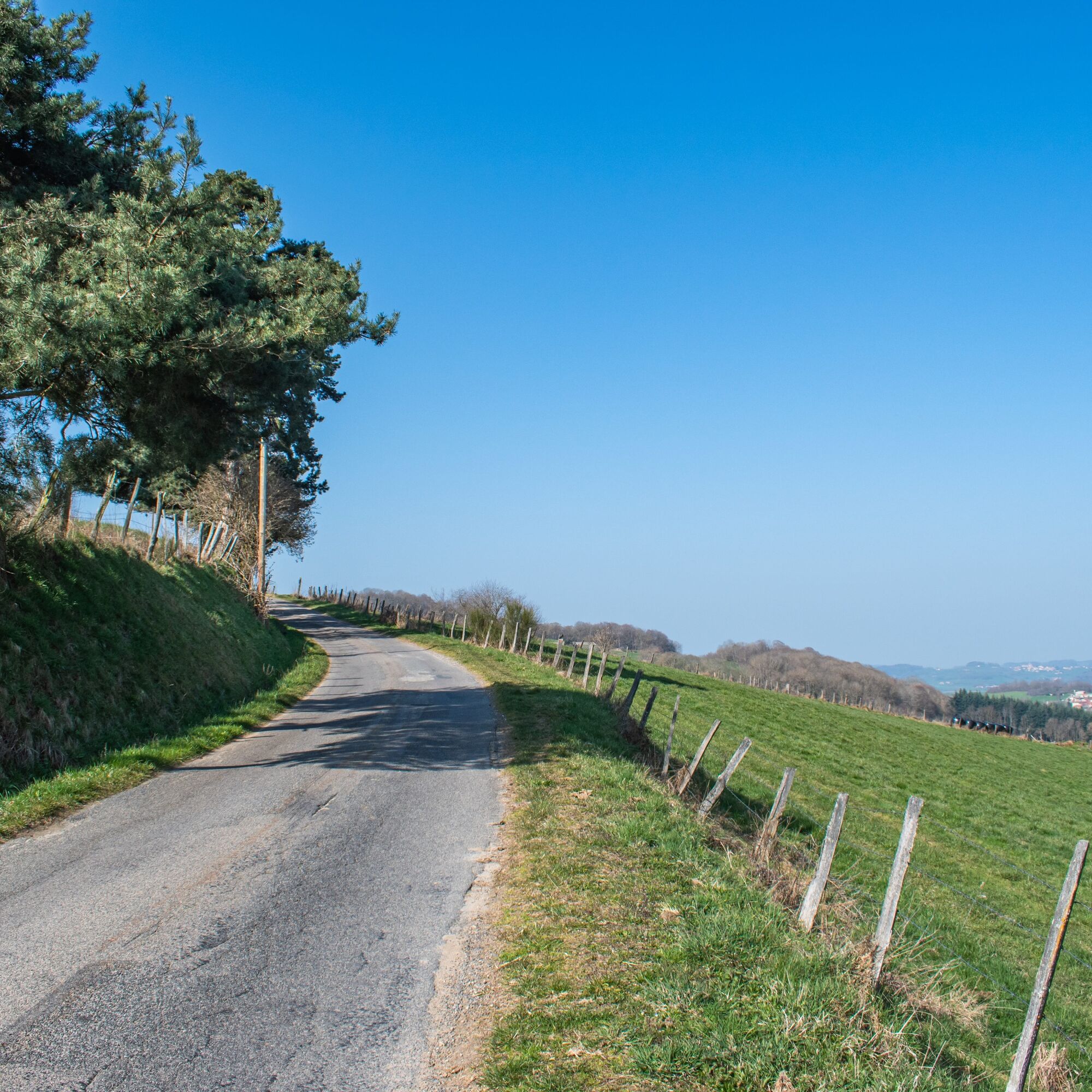
• An invigorating trail featuring mosaics of meadows interspersed with hedges against a backdrop of open landscapes overlooking the Forez, the Alps, the Rhône Valley, and more.
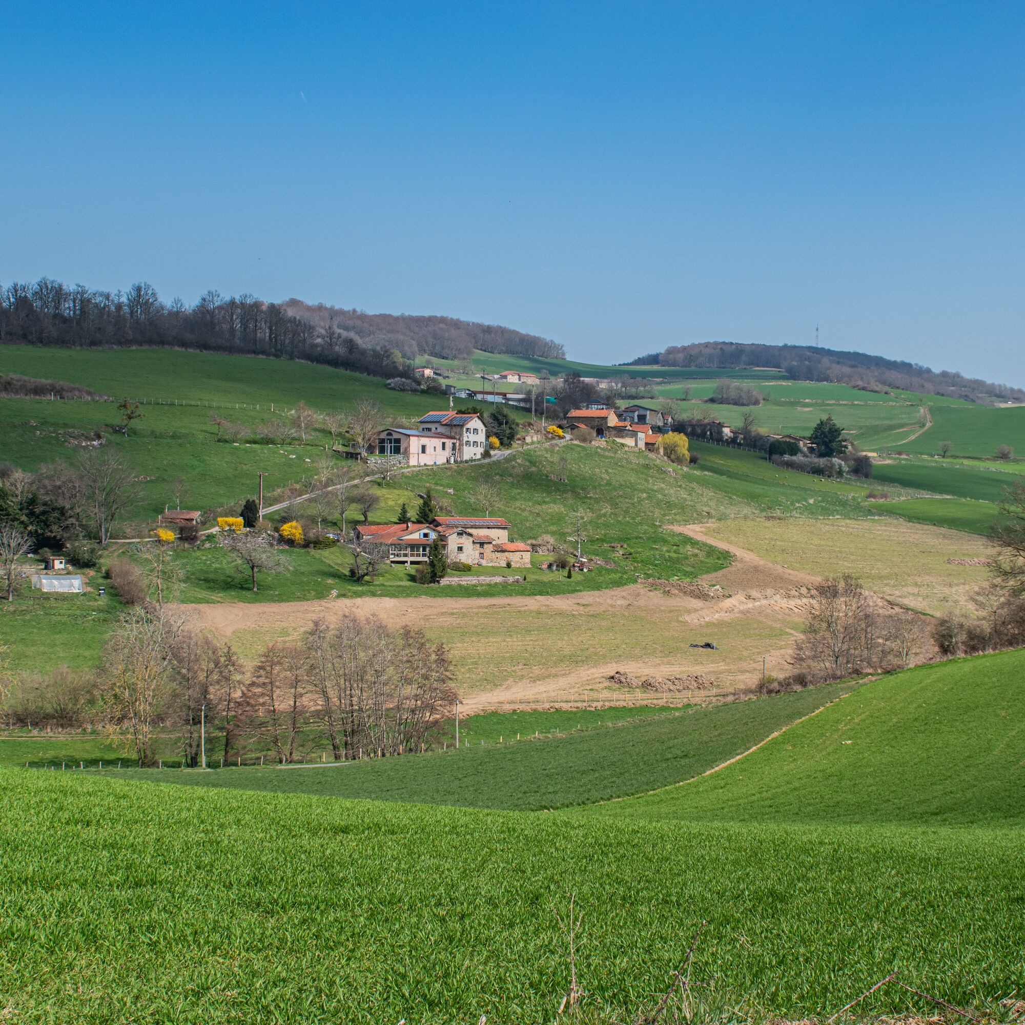
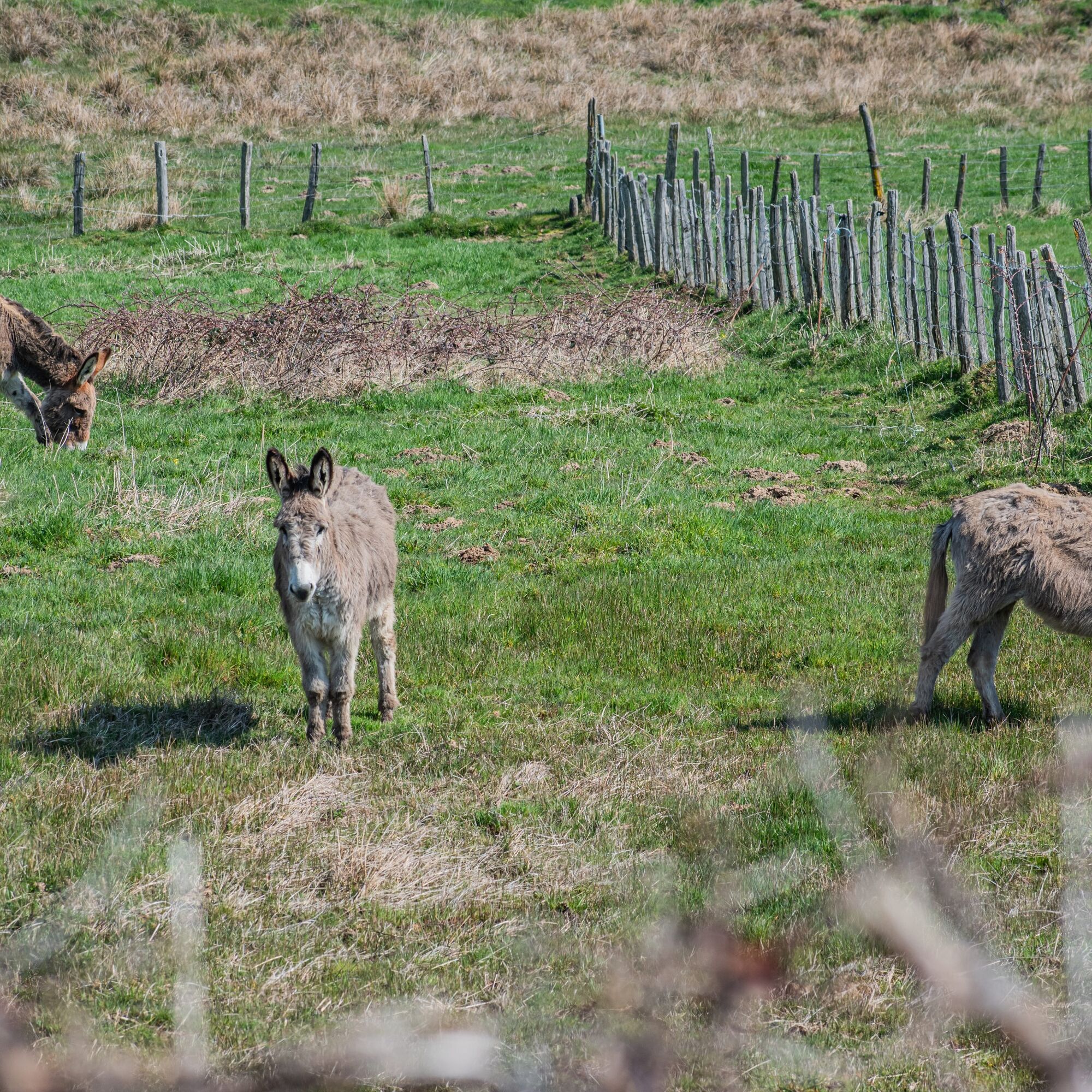
• A section of the Monts du Lyonnais with average altitudes of 750 to 800 meters. Market gardening and fruit growing here gives way to the predominance of livestock farming.
• The panoramas: at the end of Rue de l'Église in Saint-André-la-Côte, facing the Alps, then between Saint-André-La-Côte and Brûle-Fer, the bird's eye view of the village of Riverie.
You'll enjoy it better:
• A very windy, open trail: bring warm clothing and pack binoculars.
• Enjoy the reward of Le Signal, 2 km before the finish, a well-deserved break to savor the last drops of coffee from the thermos overlooking the Alps.
• In summer, walking at night during an organized outing with friends, well equipped with headlamps.
• During the Bastille Day celebrations on July 14th, to admire the fireworks throughout the surrounding region upon returning from the hike.
A bit of culture:
Le Signal, a story that begins under Louis XV. The geographer François Cassini de Thury was commissioned by the Academy of Sciences to create the first map of France by calculating the distances between the various characteristic points of the Kingdom: cities, villages, communication routes, etc.
From the top of Le Signal, between 1758 and 1761, he took measurements to draw the map of Lyon. His work subsequently served to develop the first General Staff maps. In 1945, a boundary stone was erected there. The IGN uses this point as a basis for producing its 1:25,000 and 1:50,000 scale blue series maps.
Dedicated signage on the site presents the history of this unusual geographical heritage. A panoramic walkway, a green amphitheater, and dry toilets also allow visitors to enjoy the area.


Go hiking with a clear head
Check the weather forecast Appropriate footwear and clothing Light backpack Medical first-aid kit Water and plenty of food Go at your own pace Read maps, prepare your itineraryEmergency telephone numbers :
European emergency number: 112
EMERGENCY SERVICES: 15
Police rescue: 17
Fire department: 18
Emergency number for the deaf and hard of hearing: 114
Center de soin pour animaux sauvages l'Hirondelle: 04 74 05 78 85
French Office for Biodiversity: 04 74 69 49 32
40 min from Lyon, take the A450.
Use public transport to get around
Parking Place du Cimetière
T1
An error on this sheet? Write to the owner, quoting these references:
Sheet name: Le Signal - Monts du Lyonnais - Saint-André-la Côte | Sheet ID: 6030530 | URL (link) to this Outdooractive page.
.
Priljubljeni izleti v okolici
-
5.0
The Gimond dam - Monts du Lyonnais - Grézieu-le-Marché
svetlobaPohodništvo 11.2 km -
Coise Riverbank Trail
svetlobaPohodništvo 14.6 km -
Roman Gier Aqueduct path
težkoPohodništvo 44.4 km -
Trail of the landscapes of the Monts du Lyonnais
srednjaPohodništvo 12.0 km -
The Tacot, ephemeral journey
svetlobaTematska pot 1.91 km -
Health-sport hike: the Croix Forest bridge
svetlobaPohodništvo 9.78 km -
Sentier découverte de l'aqueduc romain de la Brévenne
svetlobaPohodništvo 5.42 km -
Chemin de Saint Jacques de Compostelle - Etape 3 - Saint-Martin-en-Haut / Saint Galmier
svetlobaPohodništvo 26.5 km -
MTB Route 231 - Les Landes de Montagny
težkoMountainbike 19.9 km -
Od Velairja do Saint-Bonnet-le-Froid - Monts du Lyonnais - Courzieu
težkoPohodništvo 14.7 km
Pohodništvo in sledenje


Ne zamudite ponudb in navdiha za naslednje počitnice
Vaš e-poštni naslov je bil dodan na poštni seznam.





