
The golden stones - Between Pierres Dorées and Val d’Azergues - Loop 7.4
težko
Pridobite to turo v svoj mobilni telefon
The golden stones - Between Pierres Dorées and Val d’Azergues - Loop 7.4
težko
Cestno kolo
57.62
km
Skenirajte kodo QR in začnite navigacijo v aplikaciji bergfex.


Pohodništvo in sledenje





The golden stones - Between Pierres Dorées and Val d’Azergues - Loop 7.4
težko
Razdalja
57.6
km
Trajanje
04:30
h
Ascent
965
hm
Morska gladina
198 -
701
m

V aplikaciji si oglej pot
Brezplačno namestite aplikacijo in spremljajte pot z GPS-navigacijo in sledenjem.
bergfex zdaj uporabljaj v aplikaciji
S kamero poskeniraj QR-kodo
Ko je aplikacija nameščena, se vsebina odpre takoj. Če aplikacije še nimaš, te bo preusmerila na stran za brezplačen prenos.
Prenos skladbe
The golden stones - Between Pierres Dorées and Val d’Azergues - Loop 7.4
težko
Cestno kolo
57.62
km
On the sporting side: A true mountain route! This 58km loop is reserved for experts. Several passes and summits are on the program, including some iconic ones: Le Saule d’Oingt, Le Chêne, le Châtoux, Le...
Opis
On the sporting side: A true mountain route! This 58km loop is reserved for experts. Several passes and summits are on the program, including some iconic ones: Le Saule d’Oingt, Le Chêne, le Châtoux, Le Joncin, Le Parasoir… The summits are well earned and allow you to enjoy exceptional viewpoints and long fun descents.
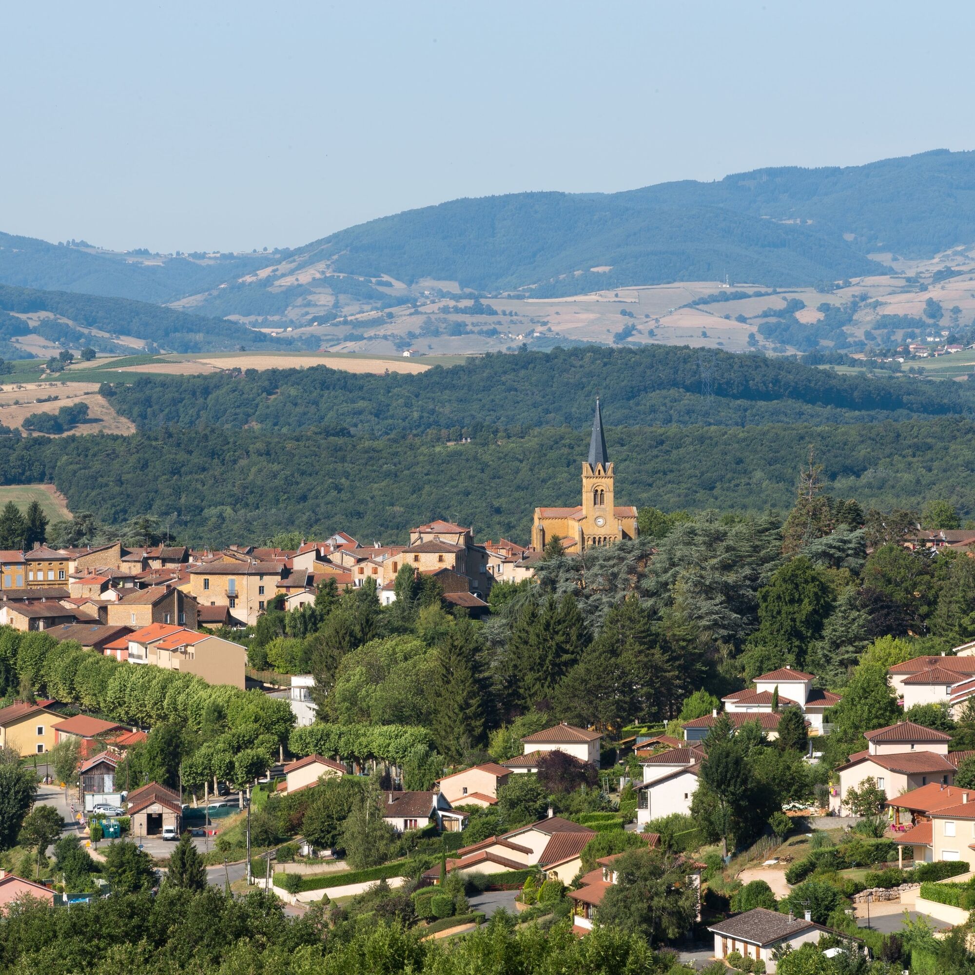
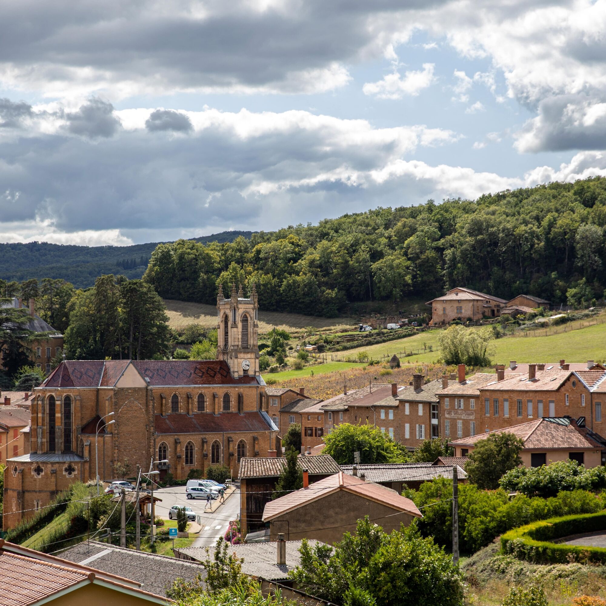
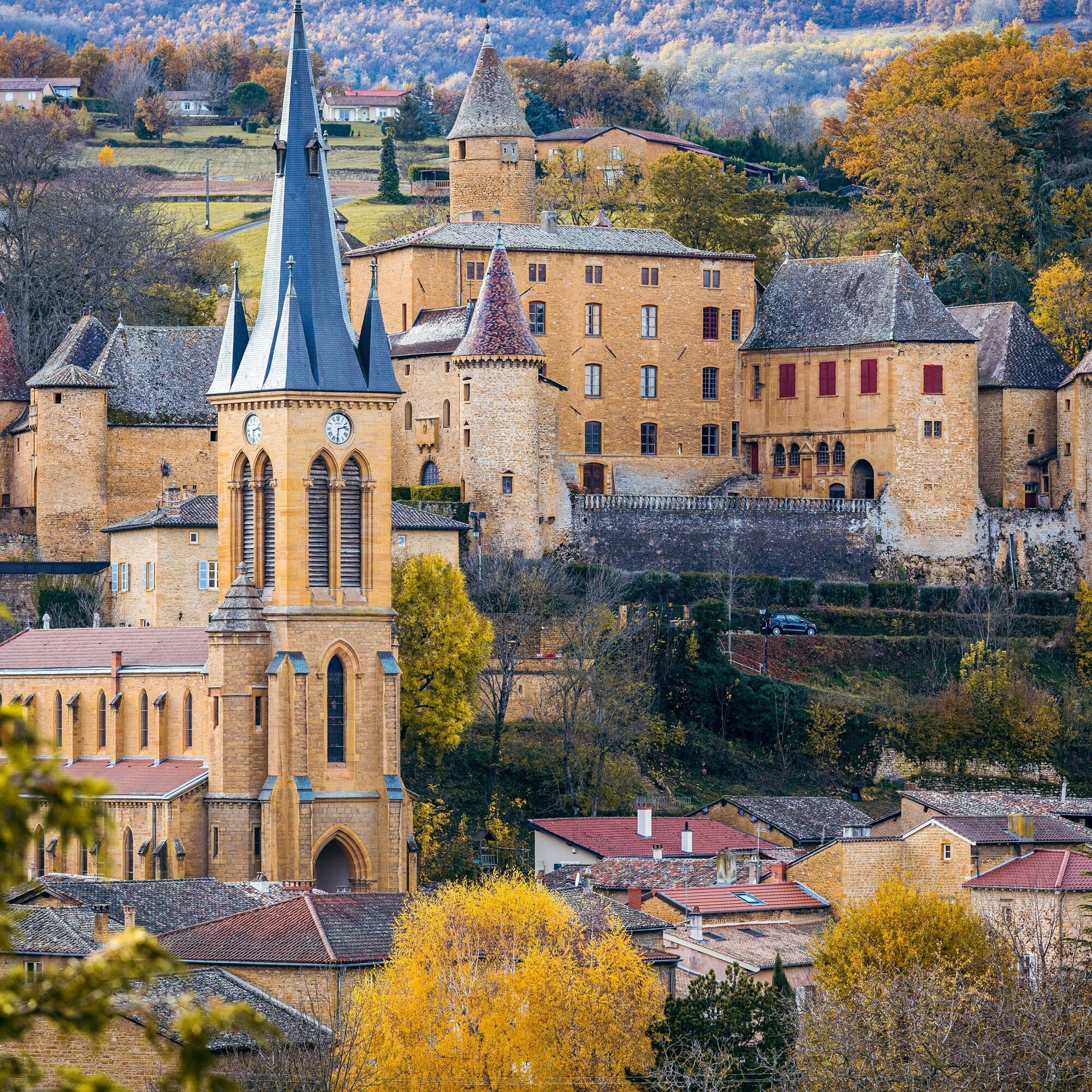
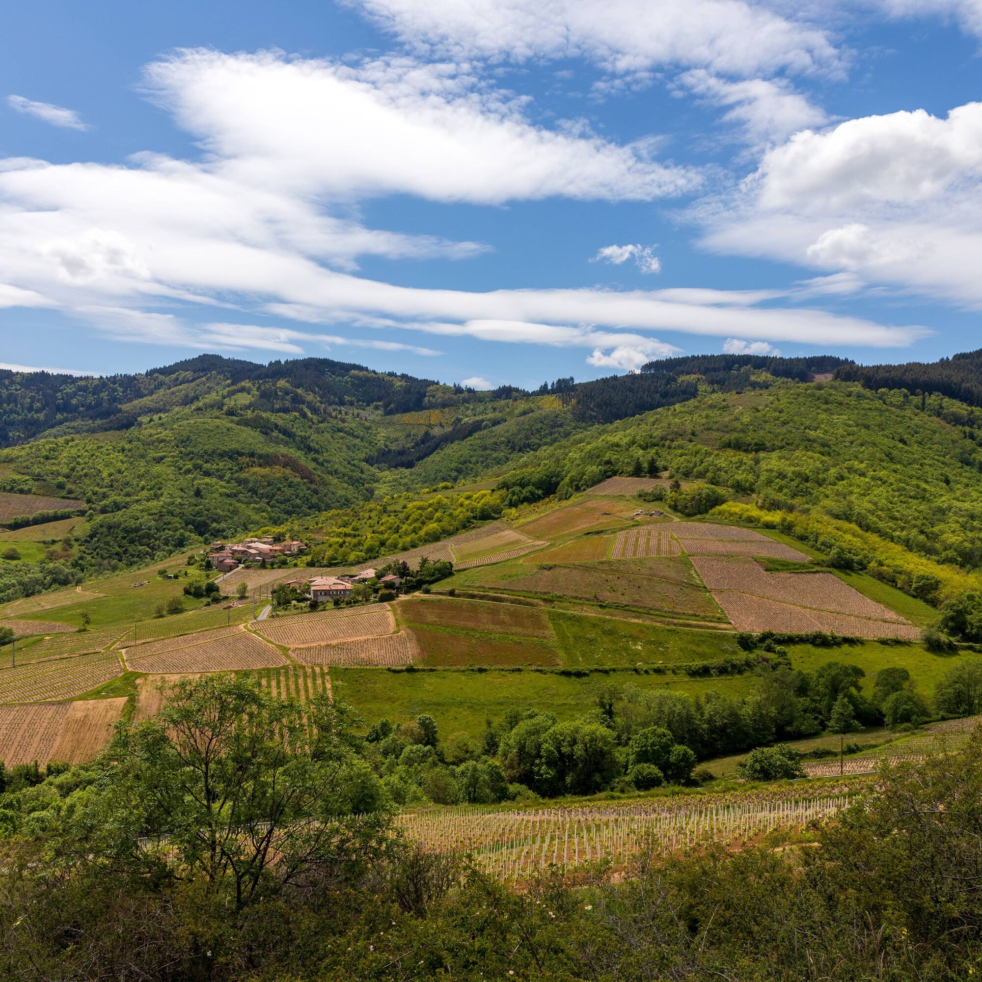
On the tourism side: On each side of the hills crossed by the roads, the changing landscape of the Beaujolais unfolds. Here, the variations in the nature of the stones, agricultural crops, and traditional architectural style are admirable. Before descending into a deep and forested Azergues valley, the slopes offer fertile soil for the vineyard. Typical of the area, the ochre earth is the trademark of the villages with golden stones. In places, steep views over the interlaced valleys make you forget the proximity of the urban world.
To see:
- The golden stone villages: Jarnioux, Ville-sur-Jarnioux, Theizé, Cogny, Lacenas
- Oingt, classified as one of the "Most Beautiful Villages of France"
- In Jarnioux: views of the castle when descending into the village and the tacot viaduct on the right
- the forest of experiences in the Cantinière massif
On the tourism side: On each side of the hills crossed by the roads, the changing landscape of the Beaujolais unfolds. Here, the variations in the nature of the stones, agricultural crops, and traditional architectural style are admirable. Before descending into a deep and forested Azergues valley, the slopes offer fertile soil for the vineyard. Typical of the area, the ochre earth is the trademark of the villages with golden stones. In places, steep views over the interlaced valleys make you forget the proximity of the urban world.
To see:
- The golden stone villages: Jarnioux, Ville-sur-Jarnioux, Theizé, Cogny, Lacenas
- Oingt, classified as one of the "Most Beautiful Villages of France"
- In Jarnioux: views of the castle when descending into the village and the tacot viaduct on the right
- the forest of experiences in the Cantinière massif
Pot
Église Saint-Laurent
(227 m)
Kraj čaščenja
1.2 km
Église Saint-Martin
(409 m)
Kraj čaščenja
9.0 km
Église Saint-Antoine
(459 m)
Kraj čaščenja
12.5 km
Le Châtoux
(672 m)
Poravnava
22.3 km
Presles
(393 m)
Poravnava
34.0 km
Église Notre-Dame de l'Assomption
(332 m)
Kraj čaščenja
46.8 km
Église Saint-Germain
(346 m)
Kraj čaščenja
50.5 km
Pot
The golden stones - Between Pierres Dorées and Val d’Azergues - Loop 7.4
težko
Cestno kolo
57.62
km
Gleizé
(233 m)
Vas
0.0 km
Villefranche-sur-Saône
(182 m)
Mesto
0.0 km
La Collonge
(216 m)
Soseska
0.3 km
Bardoly
(204 m)
Poravnava
0.8 km
Église Saint-Laurent
(227 m)
Kraj čaščenja
1.2 km
Chervinges
(228 m)
Vas
1.3 km
Mâchon
(236 m)
Poravnava
2.2 km
Bois Franc
(325 m)
Poravnava
4.5 km
Le Pilon
(352 m)
Poravnava
5.2 km
La Creuse
(341 m)
Soseska
6.4 km
Jarnioux
(292 m)
Vas
6.6 km
Chapelle des Prébendiers
(297 m)
Kraj čaščenja
6.8 km
La Chanal
(317 m)
Poravnava
7.3 km
Le Vivier
(421 m)
Soseska
8.4 km
Ville-sur-Jarnioux
(407 m)
Vas
8.8 km
Église Saint-Martin
(409 m)
Kraj čaščenja
9.0 km
La Croix Chervet
(423 m)
Poravnava
9.2 km
Bonave
(426 m)
Poravnava
9.5 km
La Croix de Mission
(403 m)
Poravnava
11.6 km
Theizé
(458 m)
Vas
12.4 km
La Feuillée
(455 m)
Restavracija
12.5 km
Église Saint-Antoine
(459 m)
Kraj čaščenja
12.5 km
Marquison
(499 m)
Poravnava
14.1 km
Plantée Galosin
(520 m)
Koridor/teren
15.5 km
Chez Marguerite
(526 m)
Restavracija
15.6 km
Oingt
(527 m)
Vas
15.6 km
La Picotière
(510 m)
Poravnava
15.7 km
La Guillardière
(545 m)
Poravnava
15.9 km
Bois Jean
(557 m)
Koridor/teren
19.3 km
Le Saule d'Oingt
(549 m)
Poravnava
19.5 km
Les Fontormants
(563 m)
Koridor/teren
20.0 km
Petite Terre
(638 m)
Koridor/teren
20.9 km
Chanrion
(690 m)
Koridor/teren
21.5 km
Le Châtoux
(672 m)
Poravnava
22.3 km
La Bonnaire
(609 m)
Poravnava
25.2 km
Le Veru
(555 m)
Poravnava
28.5 km
Chambost
(581 m)
Poravnava
29.2 km
Place Lachal
(539 m)
Soseska
29.4 km
Le Guerry
(549 m)
Poravnava
29.8 km
Chambost-Allières
(335 m)
Vas
32.1 km
Presles
(393 m)
Poravnava
34.0 km
La Combe
(501 m)
Koridor/teren
36.3 km
Vers Bœuf
(544 m)
Poravnava
36.9 km
Terres du Bois du Mont
(544 m)
Koridor/teren
37.2 km
Terres du Boulon
(644 m)
Koridor/teren
39.3 km
Le Parasoir
(659 m)
Poravnava
39.9 km
Le Relais du Parasoir
(657 m)
Restavracija
39.9 km
Saint-Cyr-le-Chatoux
(686 m)
Vas
40.6 km
Le Cruizon
(626 m)
Poravnava
41.1 km
Le Pire
(490 m)
Poravnava
44.4 km
Église Notre-Dame de l'Assomption
(332 m)
Kraj čaščenja
46.8 km
Auberge de Rivolet
(329 m)
Restavracija
46.8 km
Rivolet
(335 m)
Vas
47.0 km
Le Moulin
(339 m)
Poravnava
47.1 km
Bellevue
(372 m)
Poravnava
48.9 km
La Croix de Fer
(387 m)
Poravnava
49.0 km
Célibéty
(370 m)
Poravnava
49.2 km
Régny
(382 m)
Koridor/teren
49.7 km
La Brosse
(373 m)
Poravnava
50.1 km
Cogny
(349 m)
Vas
50.4 km
Église Saint-Germain
(346 m)
Kraj čaščenja
50.5 km
Les Meules
(354 m)
Poravnava
50.9 km
Pollui
(333 m)
Soseska
51.6 km
Les Rousselles
(288 m)
Poravnava
52.2 km
Lacenas
(287 m)
Vas
52.4 km
Massonnière
(287 m)
Soseska
52.8 km
Les Bruyères
(256 m)
Poravnava
54.9 km
Villefranche-sur-Saône
(182 m)
Mesto
56.7 km
Gleizé
(233 m)
Vas
57.0 km
Avtor
Zagotavlja Rhône Tourisme


Še ni pregledov
Priljubljeni izleti v okolici
-
The forest of Flachère - Beaujolais - Légny
svetlobaPohodništvo 6.68 km -
Hiking on the Voie du Tacot
težkoPohodništvo 77.0 km -
La forêt de la Cantinière - Beaujolais - Saint-Cyr-le-Châtoux
svetlobaPohodništvo 11.3 km -
Porte des Pierres Dorées - Beaujolais - Jarnioux
svetlobaPohodništvo 14.8 km -
De l’Aze à l’Ergues - Beaujolais Vert - Claveisolles
svetlobaPohodništvo 13.0 km -
Circuit de découverte du patrimoine
svetlobaPohodništvo 2.19 km -
From Oingt to Col du Châtoux - Beaujolais - Oingt - Val d'Oingt
težkoPohodništvo 15.1 km -
5.0
B3 Mountain Bike Tour from Beaujeu to St Didier/Beaujeu
težkoMountainbike 22.6 km -
Des dégringoules* au vert - Beaujolais - Amplepuis
svetlobaPohodništvo 5.13 km -
The forest of Brou - Beaujolais - Dième
svetlobaNordic Walking 10.5 km
Pohodništvo in sledenje

Zaradi več kot 550.000 predlogov izletov, podrobnih zemljevidov in intuitivnega načrtovanja poti je aplikacija obvezna oprema za vse ljubitelje narave.

Ne zamudite ponudb in navdiha za naslednje počitnice
Naročite se na novice
Napaka
Zgodila se je napaka. Prosimo, poskusite znova.
Zahvaljujemo se vam za prijavo
Vaš e-poštni naslov je bil dodan na poštni seznam.
Izleti po vsej Evropi
Avstrija
Švica
Nemčija
Italija
Slovenija
Francija
Nizozemska
Belgija
Poljska
Lihtenštajn
Češka
Slovaška
Španija
Chorvátsko
Bosna in Hercegovina
Luksemburg
Andora
පෘතුගාලය
අයිස්ලන්තය
එක්සත් රාජධානිය
අයර්ලන්තය
ග්රීසිය
ඇල්බේනියාව
North Macedonia
Malta
Norway
Montenegro
Moldova
කොසෝවො
හන්ගේරියානු සමුහාණ්ඩුව
San Marino
රුමේනියාව
එස්ටෝනියා
ලැට්වියාව
බෙලාරස්
සයිප්රස්
Lithuania
Serbia
බල්ගේරියාව
Monaco
ඩෙන්මාර්කය
Sweden
ෆින්ලන්තය





