Hiking on the Voie du Tacot
težko
Navigacija po spletni strani
Navigacija po spletni strani
Pridobite to turo v svoj mobilni telefon
Hiking on the Voie du Tacot
težko
Pohodništvo
76.95
km
Skenirajte kodo QR in začnite navigacijo v aplikaciji bergfex.

Pohodništvo in sledenje


Hiking on the Voie du Tacot
težko
Razdalja
76.95
km
Trajanje
07:30
h
Ascent
624
hm
Morska gladina
175 -
436
m
Prenos skladbe
Hiking on the Voie du Tacot
težko
Pohodništvo
76.95
km
Fotografije naših uporabnikov
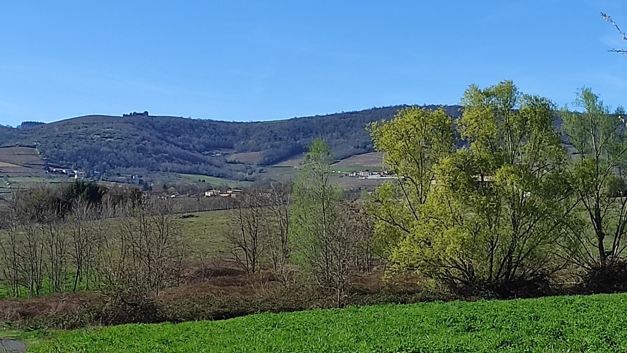
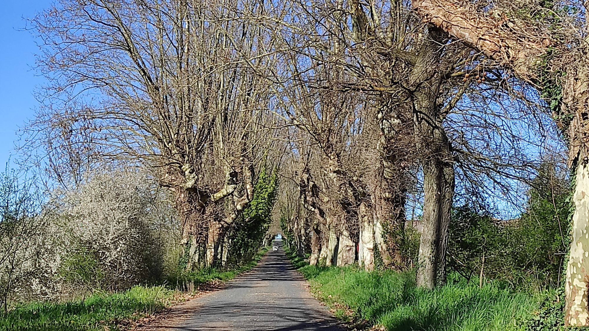
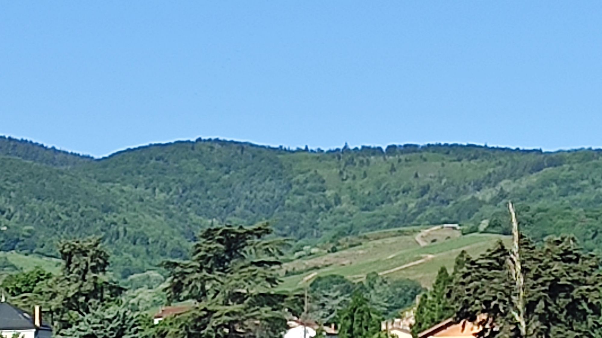
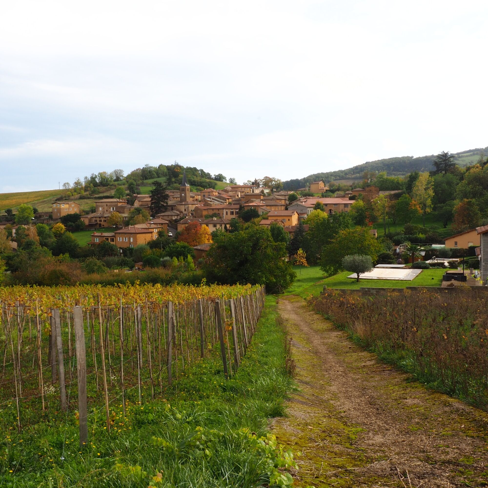
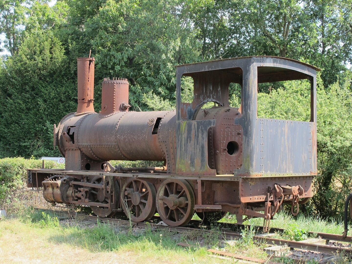
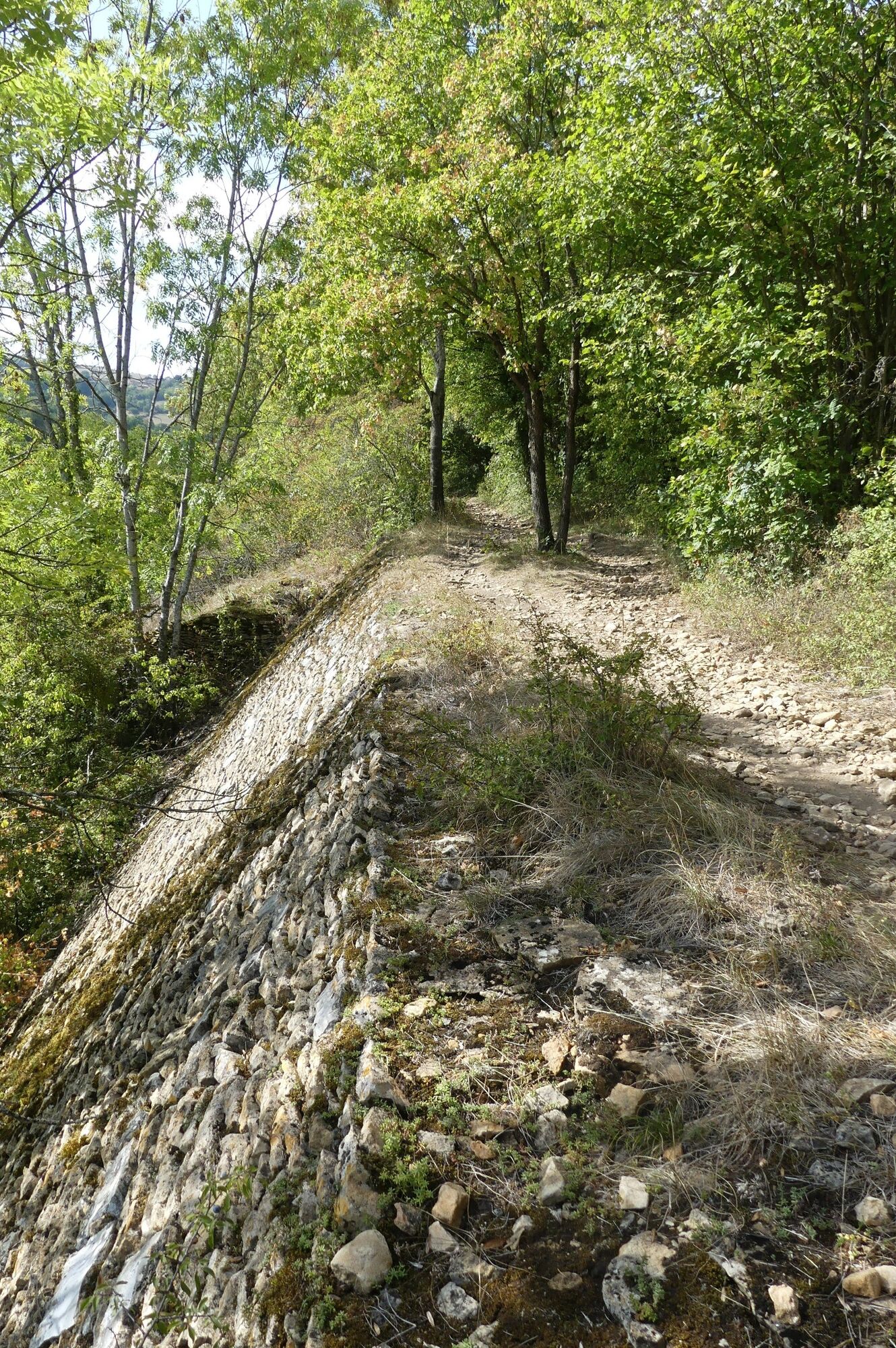
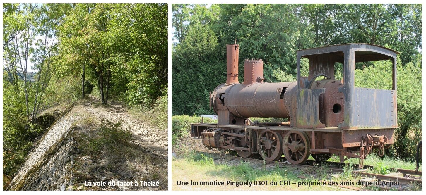
The Beaujolais Railway operated from 1901 to 1935 and connected Villefranche to Tarare. This section of the Voie du Tacot has been restructured into a 24 km route starting from Liergues. It passes through...
Opis
The Beaujolais Railway operated from 1901 to 1935 and connected Villefranche to Tarare. This section of the Voie du Tacot has been restructured into a 24 km route starting from Liergues. It passes through the villages of Pouilly le Monial, Jarnioux (remarkable viaduct), Ville sur Jarnioux, Theizé, Le Bois d'Oingt, Légny to finally reach Liergues. It is possible to travel in both directions from the different villages it passes through.
Pot
Belleville-en-Beaujolais
(174 m)
Mesto
0.0 km
Montmay
(269 m)
Poravnava
16.4 km
Chapelle Sainte-Agathe
(197 m)
Kraj čaščenja
40.9 km
Villefranche-sur-Saône
(182 m)
Mesto
43.1 km
Givrais
(270 m)
Poravnava
50.7 km
Theizé
(458 m)
Vas
58.5 km
Saint-Paul
(300 m)
Poravnava
64.9 km
Pot
Hiking on the Voie du Tacot
težko
Pohodništvo
76.95
km
Belleville-en-Beaujolais
(174 m)
Mesto
0.0 km
Balmont
(179 m)
Soseska
0.5 km
Saint-Jean-d'Ardières
(183 m)
Vas
1.4 km
Point Vélo Saint-Jean d’Ardières
(194 m)
Koridor/teren
3.0 km
Les Granges
(199 m)
Poravnava
3.5 km
Bergeron
(217 m)
Koridor/teren
6.1 km
Bergeron
(224 m)
Poravnava
6.4 km
Cercié
(226 m)
Vas
6.7 km
La Glacière
(242 m)
Poravnava
7.4 km
Saint-Vincent
(257 m)
Poravnava
9.9 km
La Chevalière
(297 m)
Soseska
14.1 km
Revolon
(285 m)
Poravnava
14.5 km
Montmay
(269 m)
Poravnava
16.4 km
Les Samsons
(259 m)
Poravnava
19.4 km
Les Balloquets
(302 m)
Poravnava
20.9 km
Odenas
(296 m)
Vas
23.8 km
La Jonchère
(288 m)
Soseska
24.8 km
Le Fourque
(298 m)
Poravnava
25.3 km
Maisons Neuves
(276 m)
Soseska
26.2 km
Esprit Beaujolais
(269 m)
Restavracija
26.6 km
Saint-Étienne-des-Oullières
(270 m)
Vas
26.7 km
Les Oullières
(271 m)
Soseska
26.9 km
La Cristale
(281 m)
Soseska
27.5 km
Milly
(267 m)
Poravnava
27.8 km
Le Fond d'Arbuissonnas
(263 m)
Koridor/teren
30.1 km
Arbuissonnas
(285 m)
Vas
30.3 km
Salles
(311 m)
Vas
31.6 km
Berne
(303 m)
Poravnava
33.0 km
Blacé
(303 m)
Vas
33.7 km
Saint-Julien
(245 m)
Vas
34.8 km
Église Saint-Julien
(244 m)
Kraj čaščenja
35.0 km
La Croix Marpaux
(251 m)
Soseska
35.4 km
Chambély
(225 m)
Poravnava
36.6 km
Grange Perret
(212 m)
Poravnava
38.7 km
Joutecrot
(206 m)
Poravnava
39.3 km
Chapelle Sainte-Agathe
(197 m)
Kraj čaščenja
40.9 km
Villefranche-sur-Saône
(182 m)
Mesto
43.1 km
La Claire
(186 m)
Soseska
44.4 km
Le Grand Moulin
(188 m)
Soseska
44.4 km
Sotizon
(192 m)
Soseska
45.2 km
Chervinges
(228 m)
Vas
46.7 km
Ronzière
(219 m)
Poravnava
47.1 km
La Combe
(212 m)
Poravnava
47.5 km
Chalier
(232 m)
Poravnava
47.9 km
Le Moulin
(229 m)
Poravnava
48.7 km
Liergues
(247 m)
Vas
48.8 km
Au-Delà de l'Eau
(247 m)
Soseska
50.0 km
Pouilly-le-Monial
(277 m)
Vas
50.3 km
Givrais
(270 m)
Poravnava
50.7 km
Graveton
(293 m)
Soseska
51.0 km
Jarnioux
(292 m)
Vas
51.6 km
La Creuse
(341 m)
Soseska
51.8 km
La Chanal
(317 m)
Poravnava
52.3 km
La Penière
(347 m)
Poravnava
52.9 km
Cosset
(409 m)
Poravnava
53.0 km
Le Vivier
(421 m)
Soseska
55.2 km
La Croix Chervet
(423 m)
Poravnava
55.5 km
Ville-sur-Jarnioux
(407 m)
Vas
55.5 km
Bonave
(426 m)
Poravnava
56.1 km
La Croix de Mission
(403 m)
Poravnava
58.1 km
Theizé
(458 m)
Vas
58.5 km
Le Laurent
(386 m)
Poravnava
58.7 km
Le Guéret
(388 m)
Soseska
59.2 km
Frontenas
(368 m)
Vas
60.5 km
Rongefert
(417 m)
Koridor/teren
60.7 km
Moiré
(452 m)
Vas
61.2 km
Lanfert
(419 m)
Poravnava
61.5 km
Thalebard
(417 m)
Poravnava
61.6 km
Boucairon
(371 m)
Poravnava
62.5 km
Les Tourrières
(351 m)
Soseska
64.0 km
Le Bois-d'Oingt
(354 m)
Vas
64.3 km
Saint-Paul
(300 m)
Poravnava
64.9 km
Saint-Paul
(298 m)
Poravnava
65.4 km
Légny
(320 m)
Vas
65.8 km
Margand
(289 m)
Poravnava
66.1 km
Pont-Nizy
(244 m)
Poravnava
66.4 km
Varina
(264 m)
Soseska
66.6 km
Les Ponts Tarrets
(242 m)
Poravnava
67.3 km
Les Landes
(306 m)
Poravnava
69.7 km
Les Roches
(341 m)
Poravnava
71.2 km
Sarcey
(366 m)
Vas
72.0 km
Le Marais
(336 m)
Soseska
74.4 km

Še ni pregledov
Priljubljeni izleti v okolici
Porte des Pierres Dorées - Beaujolais - Jarnioux
svetlobaPohodništvo 14.8 kmLa forêt de la Cantinière - Beaujolais - Saint-Cyr-le-Châtoux
svetlobaPohodništvo 11.3 kmVillefranche-sur-Saône, Auvergne-Rhône-Alpes/France
Cestno kolo 43.5 kmDe l’Aze à l’Ergues - Beaujolais Vert - Claveisolles
svetlobaPohodništvo 13.0 kmThe forest of Flachère - Beaujolais - Légny
svetlobaPohodništvo 6.68 kmFrom Oingt to Col du Châtoux - Beaujolais - Oingt - Val d'Oingt
težkoPohodništvo 15.1 kmThe forest of Brou - Beaujolais - Dième
svetlobaNordic Walking 10.5 kmThe golden stones - Between Pierres Dorées and Val d’Azergues - Loop 7.4
težkoCestno kolo 57.6 kmThe Cantinière forest
svetlobaTematska pot 2.96 kmDie goldenen Steine - Rundtour der Pierres Dorées - Runde 7.3
težkoCestno kolo 45.6 km

Pohodništvo in sledenje

Zaradi več kot 550.000 predlogov izletov, podrobnih zemljevidov in intuitivnega načrtovanja poti je aplikacija obvezna oprema za vse ljubitelje narave.

Ne zamudite ponudb in navdiha za naslednje počitnice
Naročite se na novice
Napaka
Zgodila se je napaka. Prosimo, poskusite znova.Zahvaljujemo se vam za prijavo
Vaš e-poštni naslov je bil dodan na poštni seznam.
Izleti po vsej Evropi
Avstrija Švica Nemčija Italija Slovenija Francija Nizozemska Belgija Poljska Lihtenštajn Češka Slovaška Španija Chorvátsko Bosna in Hercegovina Luksemburg Andora පෘතුගාලය අයිස්ලන්තය එක්සත් රාජධානිය අයර්ලන්තය ග්රීසිය ඇල්බේනියාව North Macedonia Malta Norway Montenegro Moldova කොසෝවො හන්ගේරියානු සමුහාණ්ඩුව San Marino රුමේනියාව එස්ටෝනියා ලැට්වියාව බෙලාරස් සයිප්රස් Lithuania Serbia බල්ගේරියාව Monaco ඩෙන්මාර්කය Sweden ෆින්ලන්තය