







Cycling tour: Bugey's vineyards
Stopnja težavnosti: 2
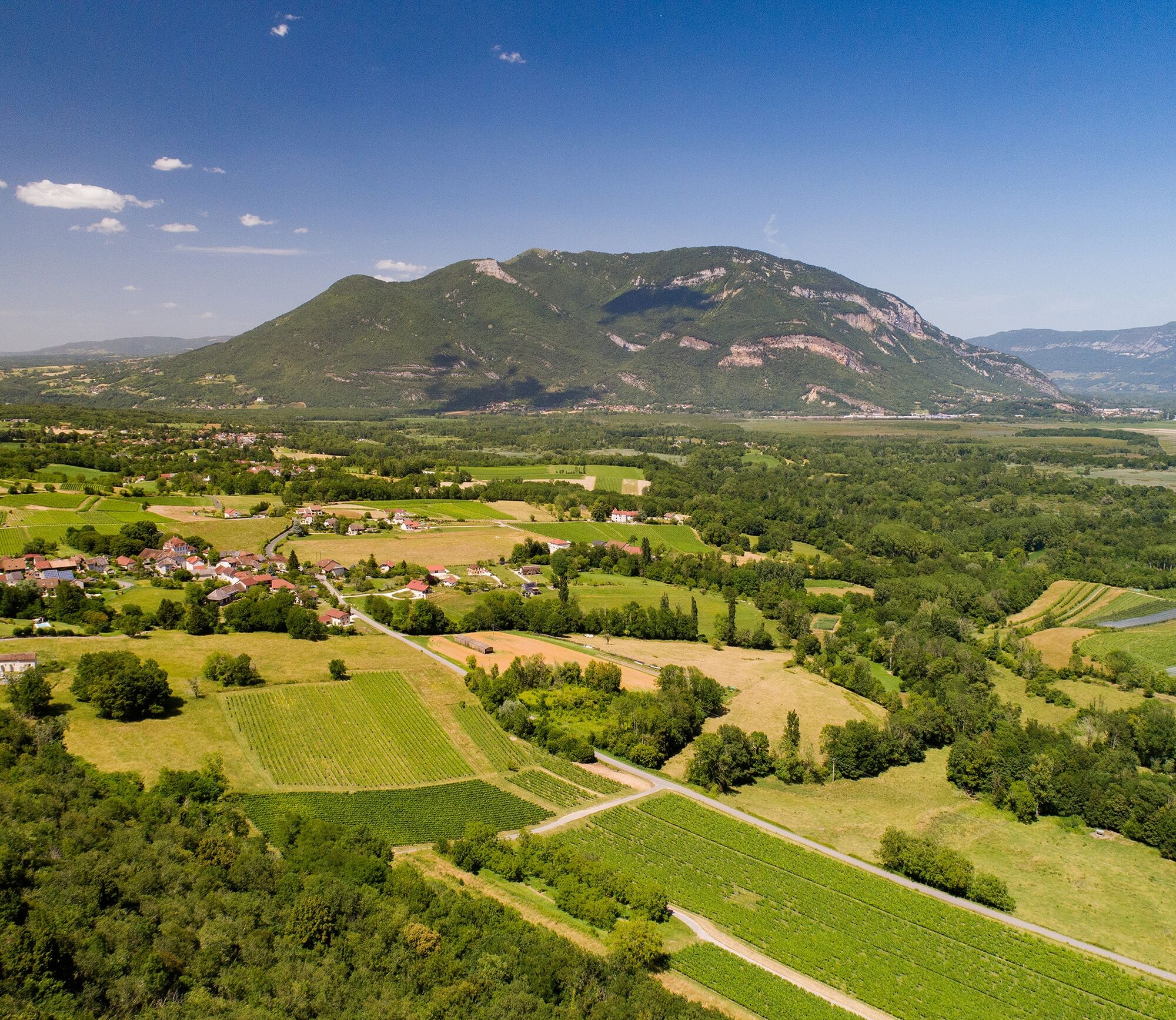
The loop follows the Rhône river on the ViaRhôna cycle path at first. It then crosses the Rhône to cross Cressin-Rochefort. It is possible to make a round trip along the path along the north coast of Lake...
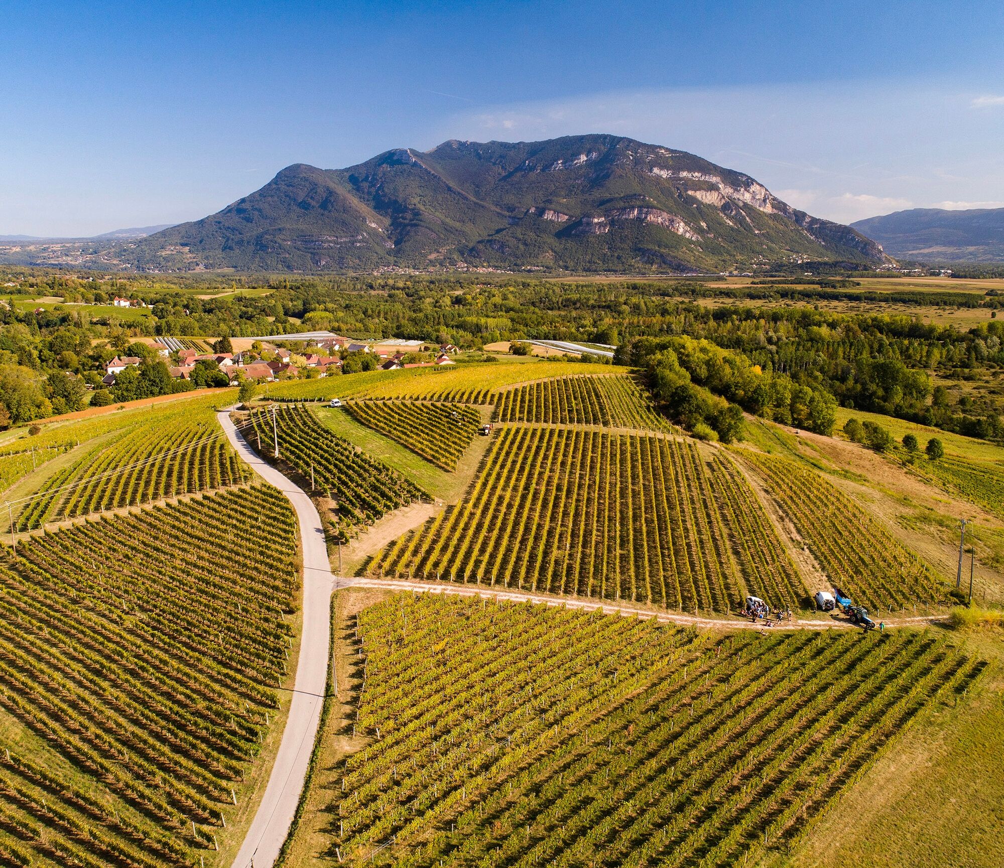
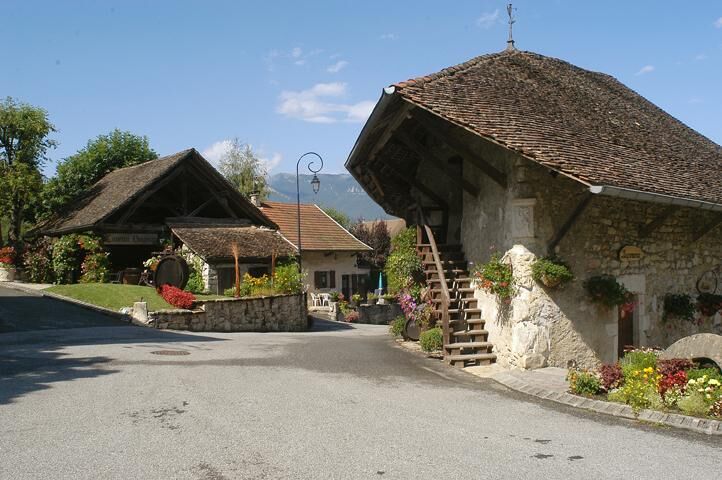
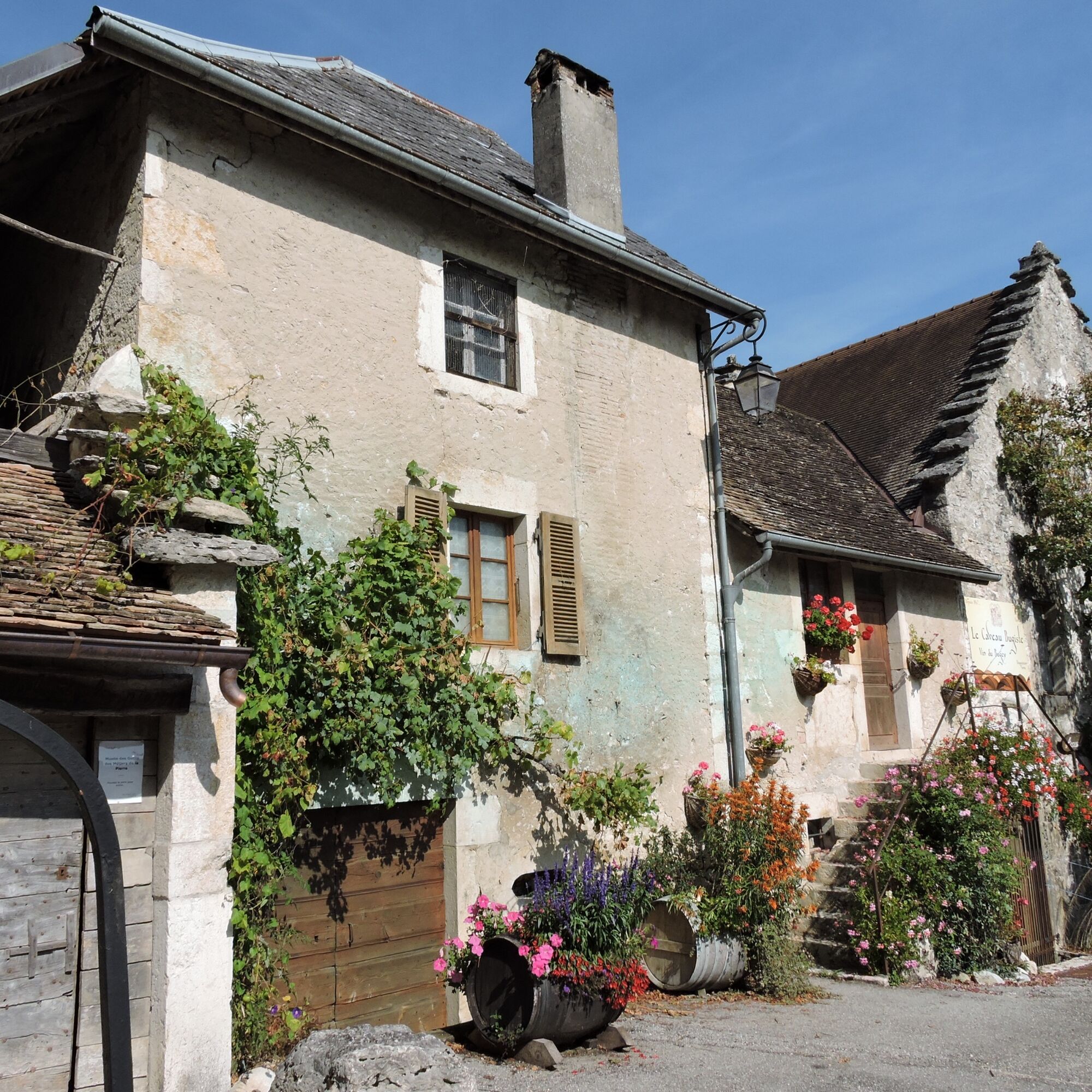
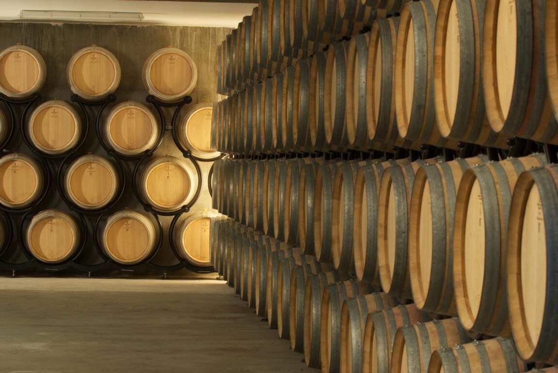
The circuit then goes around Vongnes, an atypical village with several vaults including the Caveau Bugiste, a real local institution. Le Caveau bugiste includes a museum of wine-growing traditions and a museum of tools for the stone trades, an exhibition hall and offers tours and tastings of its cellar every day of the year.
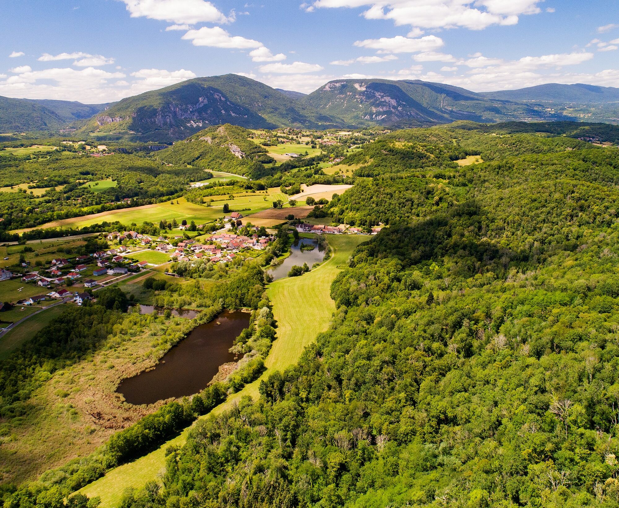
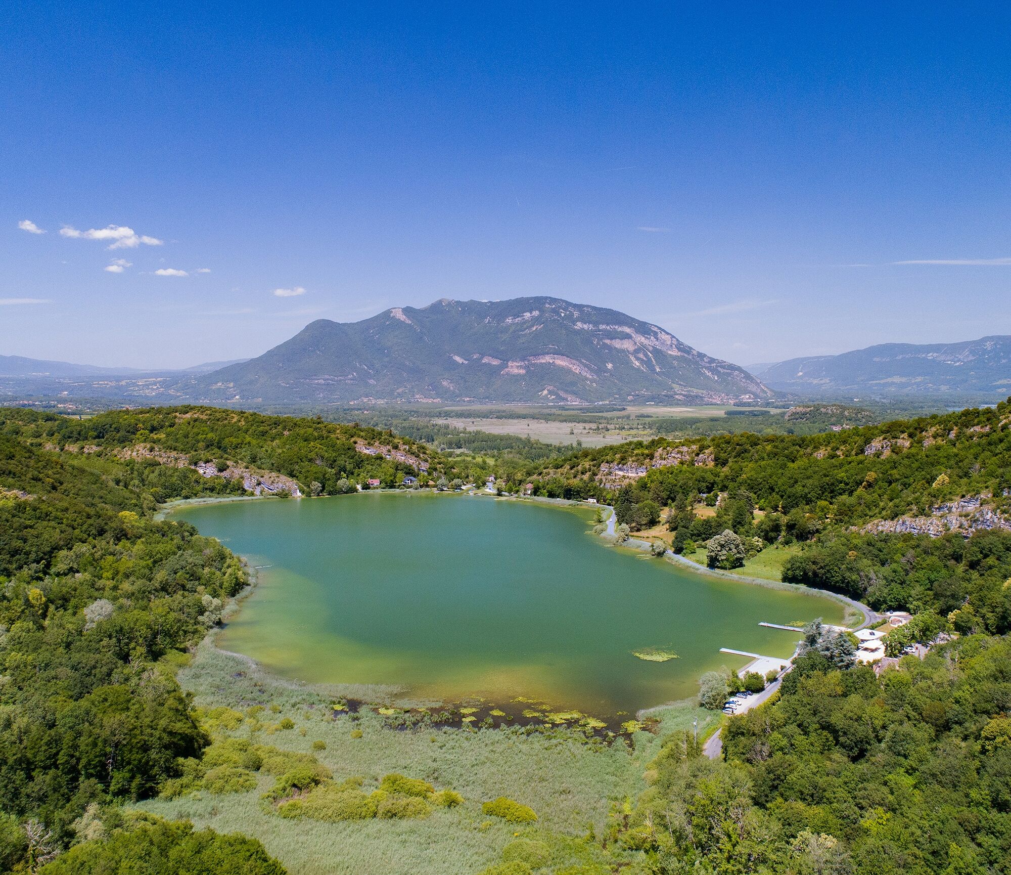
The return is then made by the beautiful village of Ceyzérieu, under the castle of Grammont (cannot be visited) and the lake of Chavoley before returning by Marignieu and St Champ, then to find the ViaRhôna a little further.
If the circuit includes a low drop and remains very accessible, the course is a little hilly.

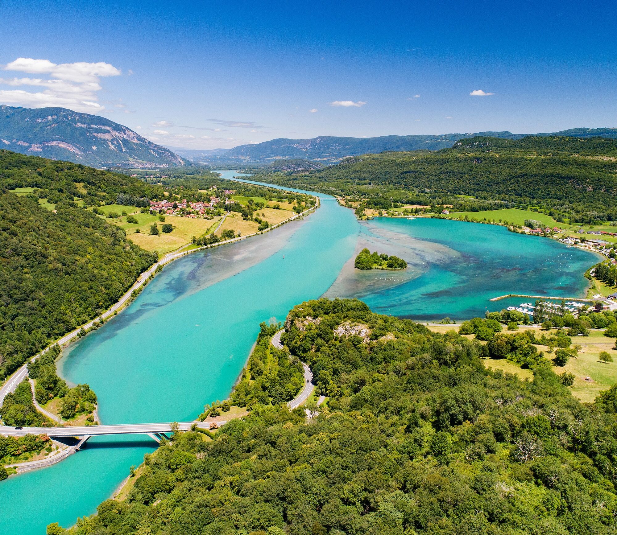

Follow the ViaRhôna towards Geneva for a few hundred meters before crossing the Rhône towards Cressin-Rochefort.
Da
Recommended equipment: water bottles, helmets, phone, spare parts.
If the route mainly follows a greenway and small roads, please respect the traffic regulations.
The route runs alongside a busy departmental road for about a hundred meters near the end of the course; we recommend being cautious when crossing it at the end of the route.
Highways from Lyon:
A40, exit 8 Saint-Martin-du-Fresne and Hauteville for Les Plans d’Hotonnes and Plateau de Retord
A42, exit 8: Ambérieu-en-Bugey
A43, exit 10 les Abrets
Departmental roads
D 1504 from Ambérieu-en-Bugey
D 992 from Chambéry
The departure point is not accessible by public transport.
Parking spaces are available at the port of Massignieu.
2
An error on this sheet? Write to the owner mentioning these references:
Sheet name: Bike route: Vignobles du Bugey | Sheet ID: 6098296 | URL of this Outdooractive page.
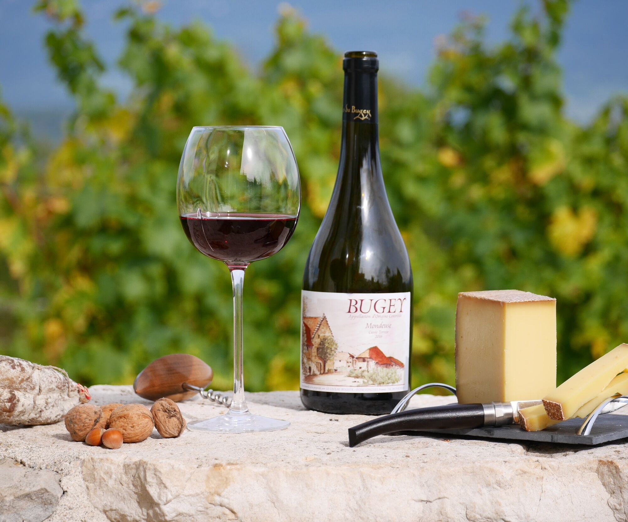
This bike route allows you to discover part of South Bugey away from major roads, linking the crossings of small villages between the Rhône and Grand Colombier.
Priljubljeni izleti v okolici
- 3.0
Hike: on the ridge of the Grand Colombier (circuit des crêtes)
srednjaPohodništvo 11.3 km - 1.0
Hike of the Clairefontaine waterfall
svetlobaPohodništvo 5.46 km Hike : Armaille Lake
svetlobaPohodništvo 9.42 kmCycling tour : Marshes and vineyards in Bugey
svetlobaCestno kolo 33.1 kmHike: A wolf life.
svetlobaPohodništvo 7.22 kmHike of the Grand Colombier starting from Munet
težkoPohodništvo 16.0 kmHike: mountain pastures of the Grand Colombier
srednjaPohodništvo 5.23 kmMTB track 1 green - Rothonne forest: Le Renard - Espace FFC Ain Forestière
svetlobaMountainbike 4.93 kmHike: Grand Colombier from Culoz
težkoPohodništvo 26.1 kmCycling tour: Geological curiosities of Valromey
svetlobaCestno kolo 37.1 km
Pohodništvo in sledenje


Ne zamudite ponudb in navdiha za naslednje počitnice
Vaš e-poštni naslov je bil dodan na poštni seznam.





