
Petit Mont-Cenis pass
težko
Pridobite to turo v svoj mobilni telefon
Petit Mont-Cenis pass
težko
Cestno kolo
18.02
km
Skenirajte kodo QR in začnite navigacijo v aplikaciji bergfex.


Pohodništvo in sledenje





Petit Mont-Cenis pass
težko
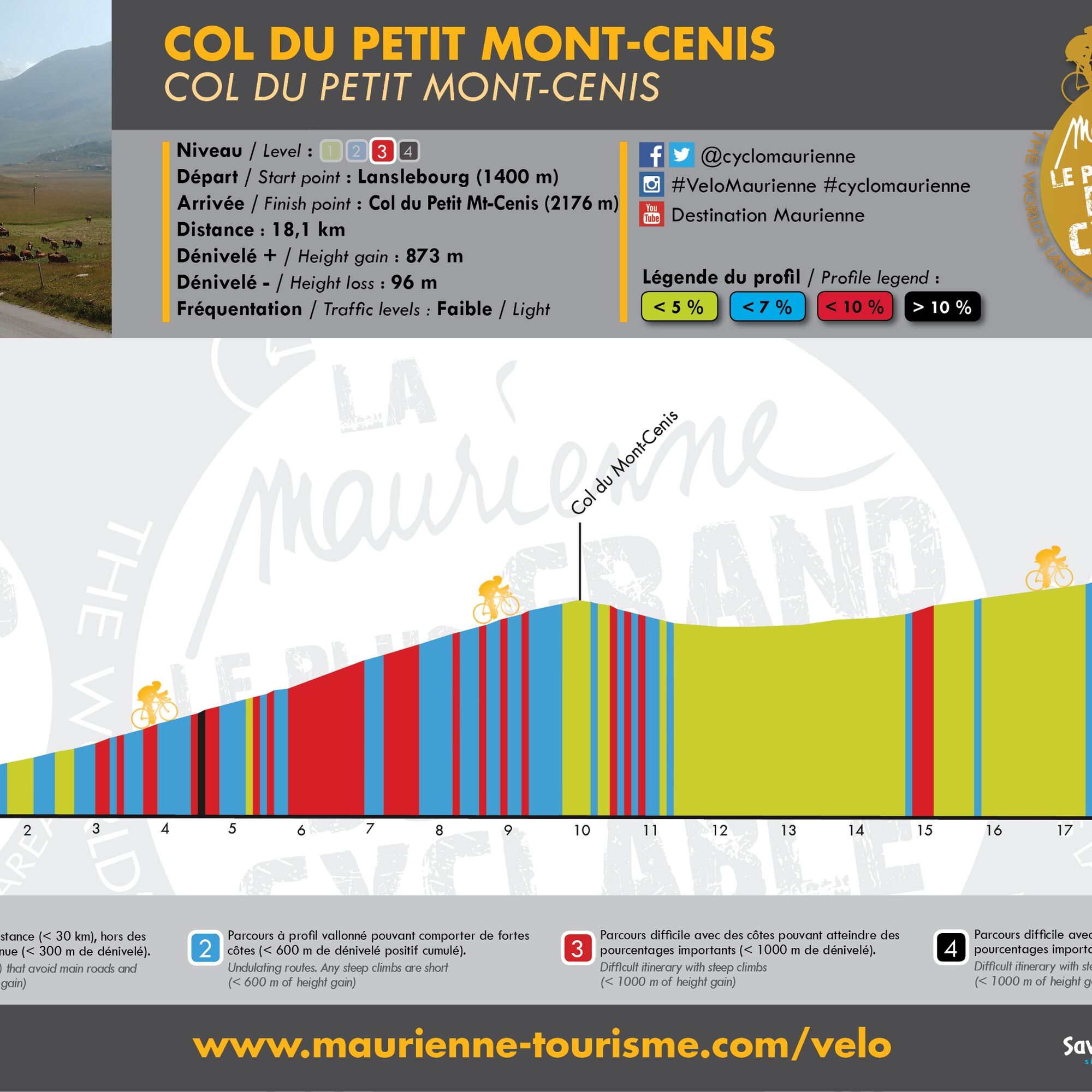
Razdalja
18.0
km
Trajanje
01:35
h
Ascent
793
hm
Morska gladina
1,396 -
2,174
m
Prenos skladbe
Petit Mont-Cenis pass
težko
Cestno kolo
18.02
km
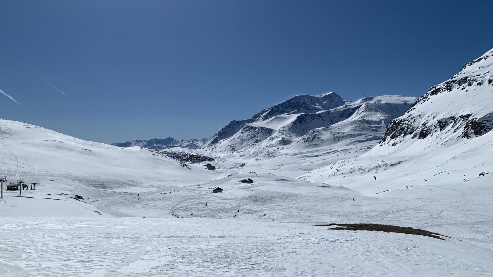
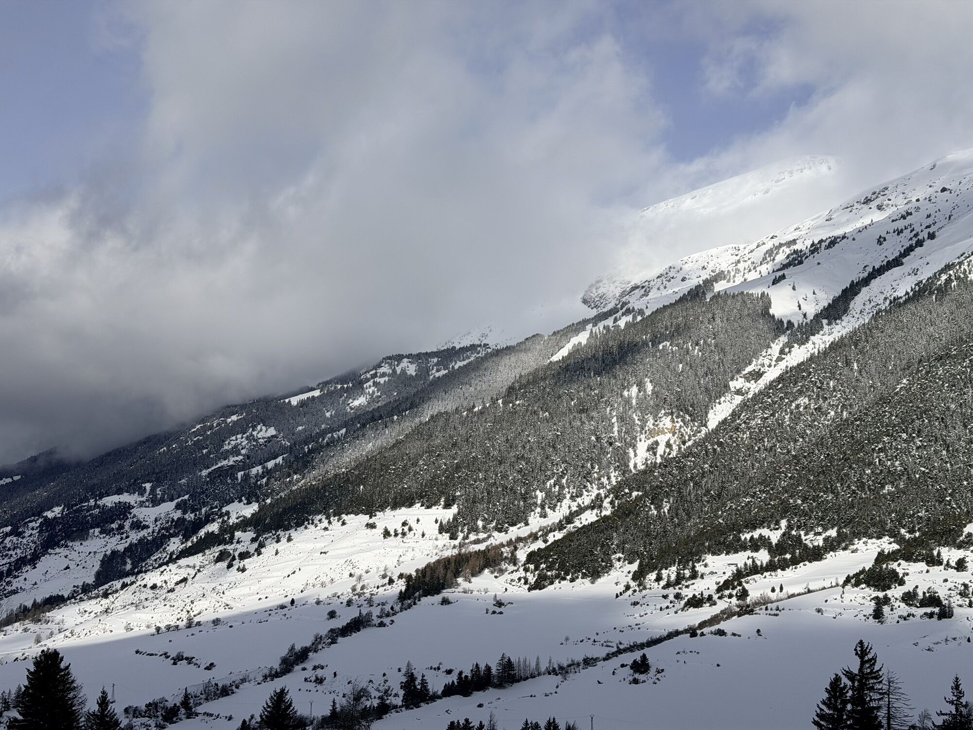
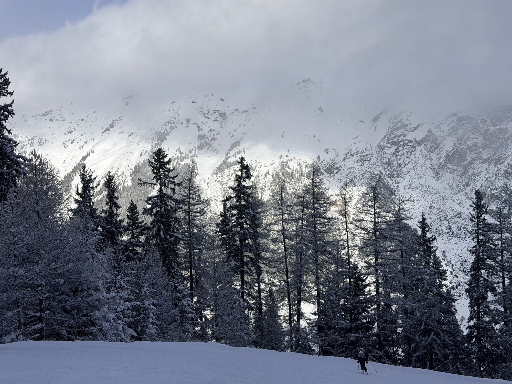
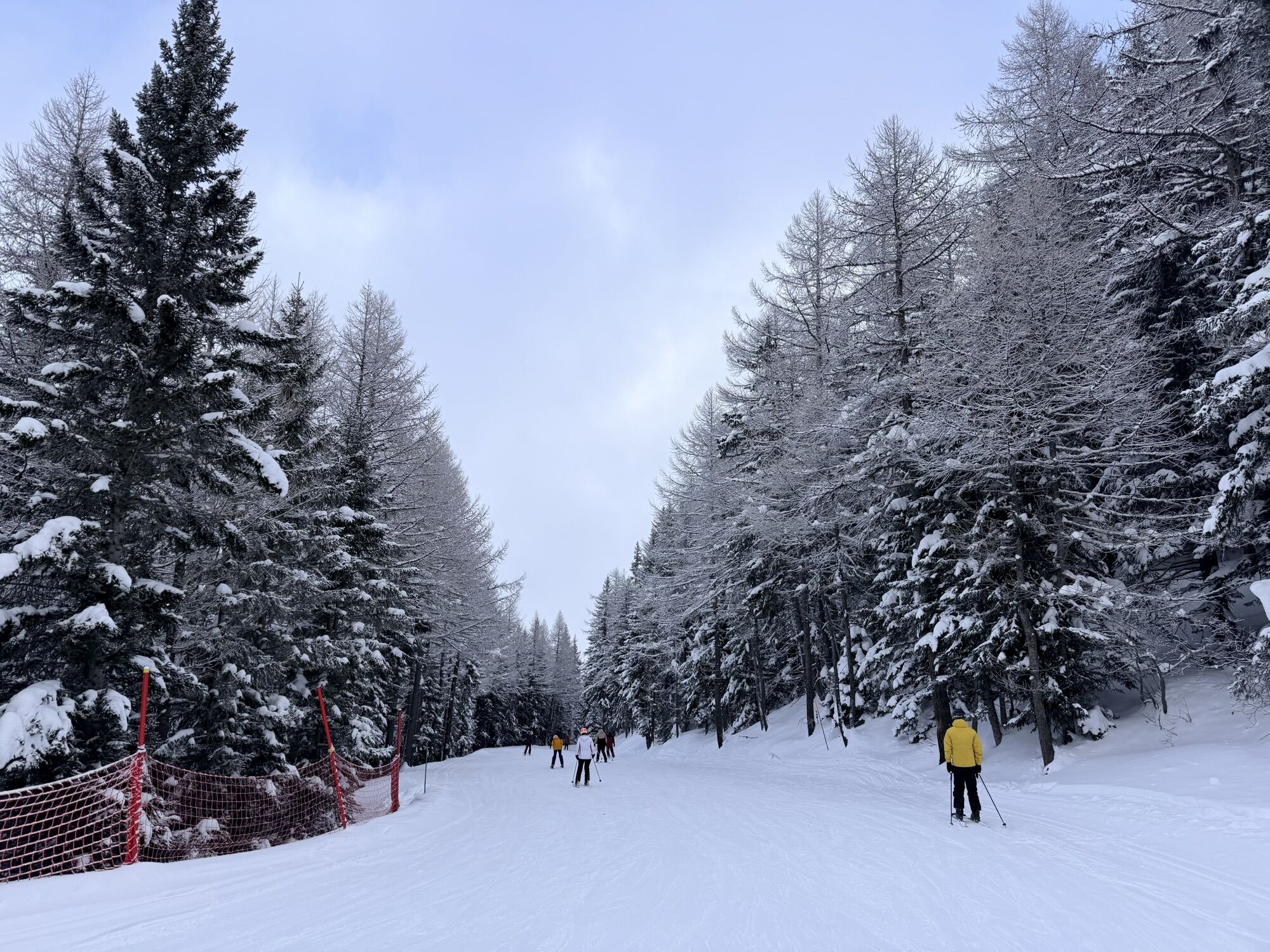
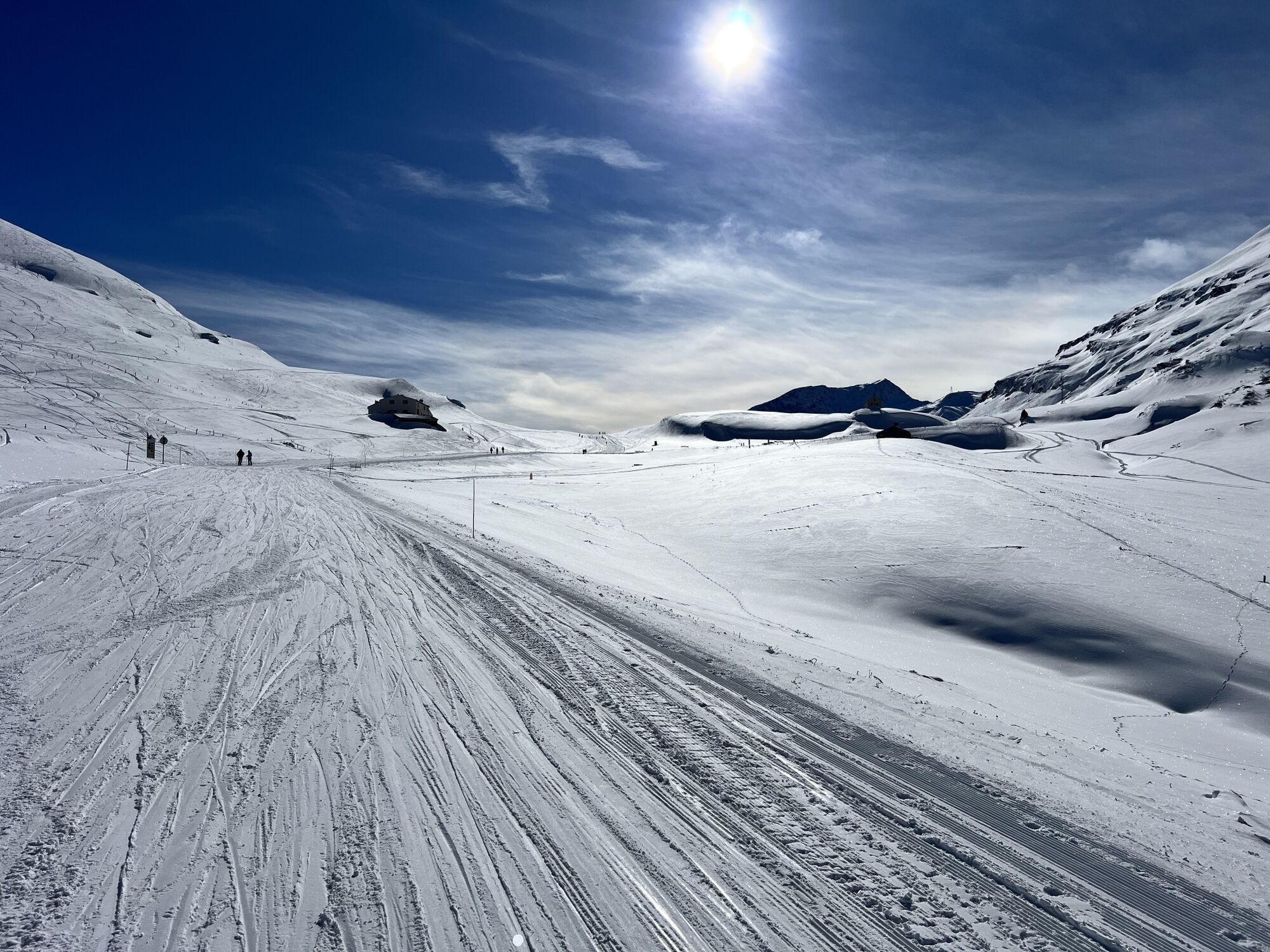
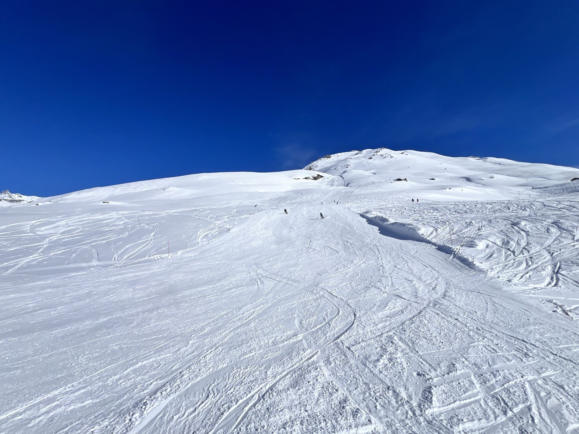
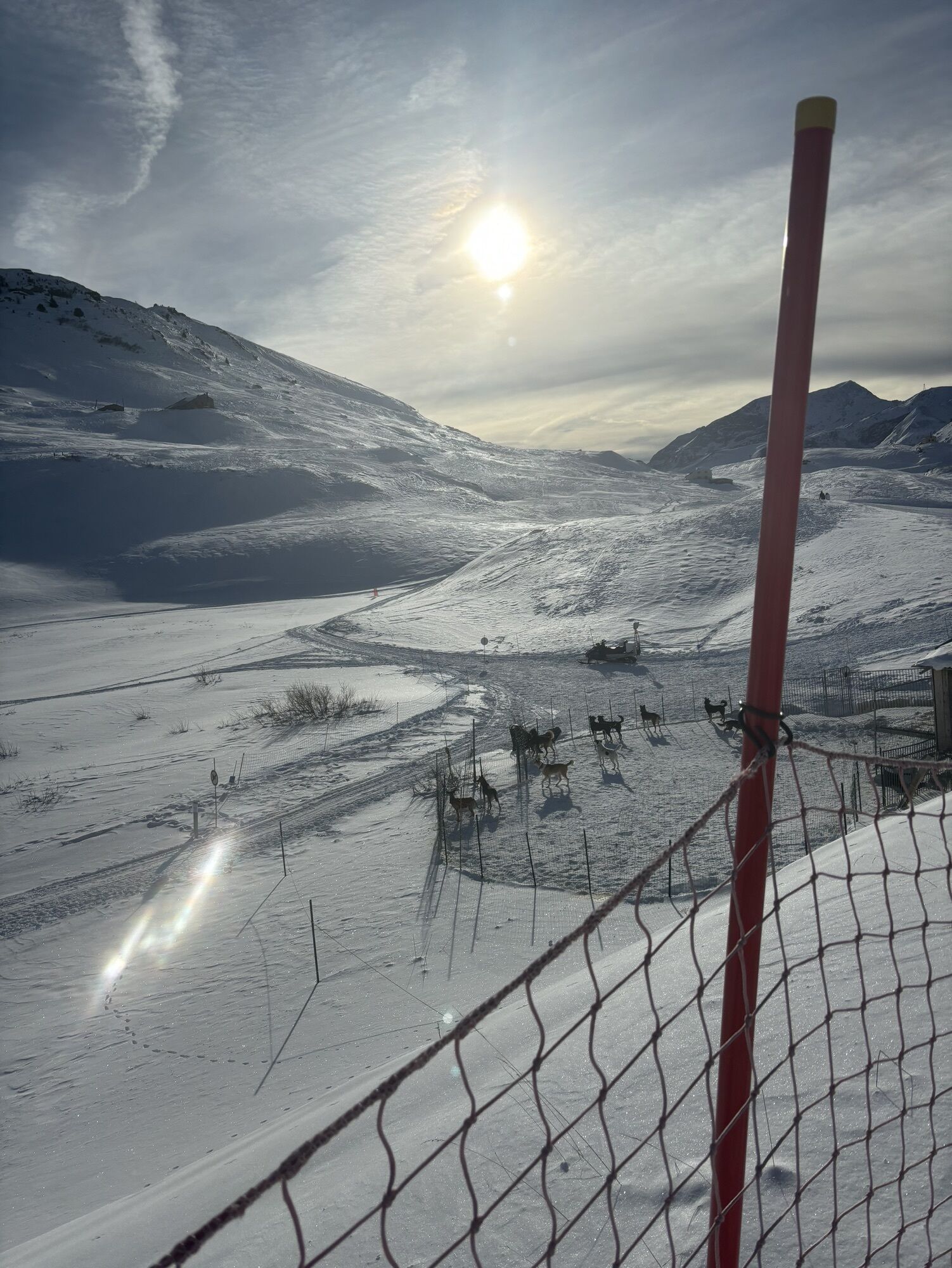
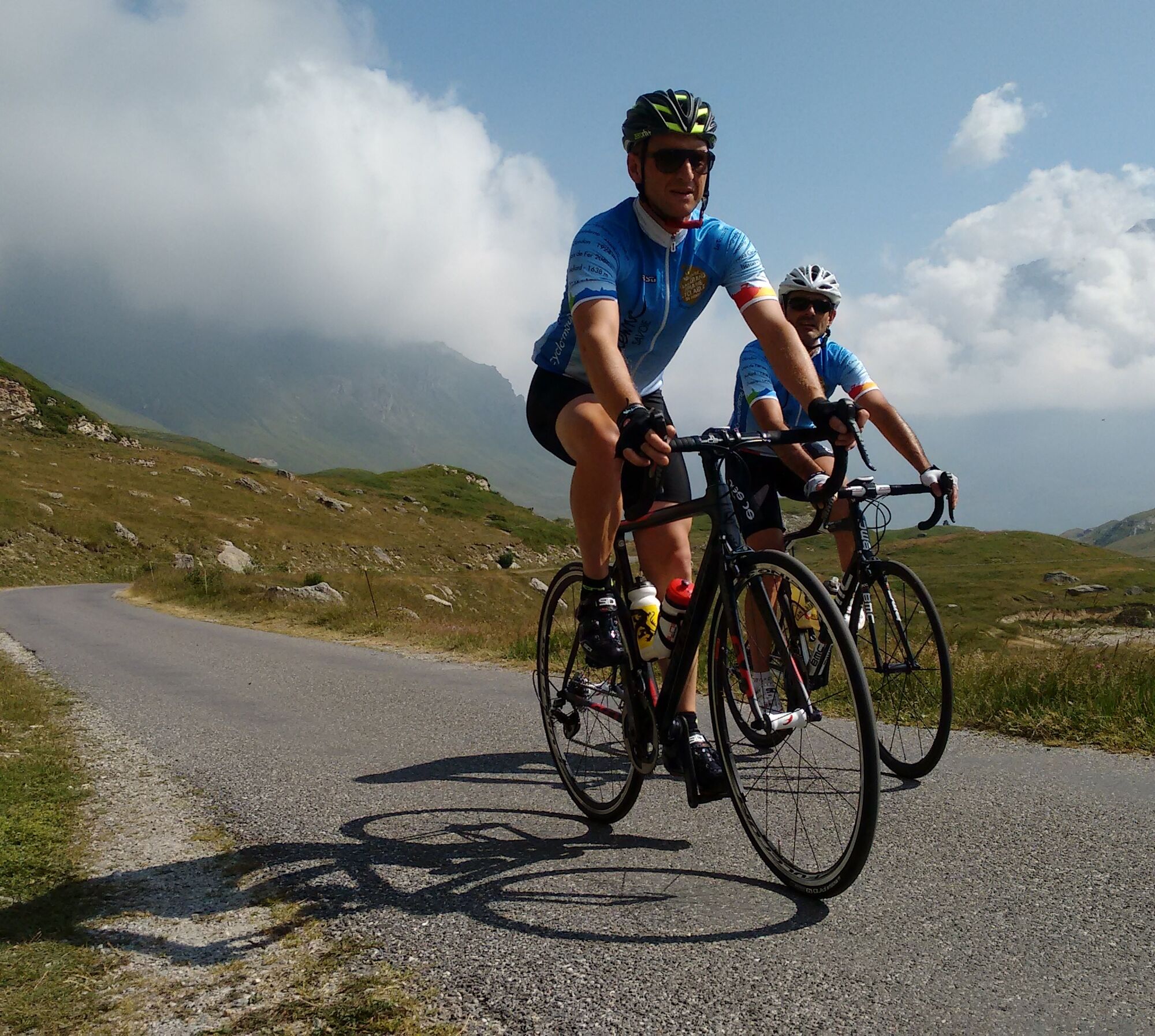
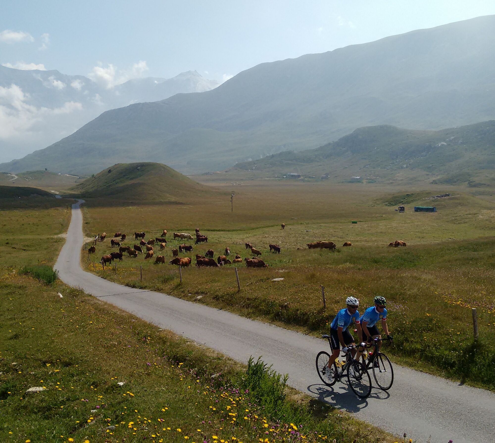
After the Col du Mont-Cenis, take the first right, then turn right again. Keep going straight on beside the Lac du Mont-Cenis to the Col du Petit Mont-Cenis.
The road surface is good, and there are light...
Opis
After the Col du Mont-Cenis, take the first right, then turn right again. Keep going straight on beside the Lac du Mont-Cenis to the Col du Petit Mont-Cenis.
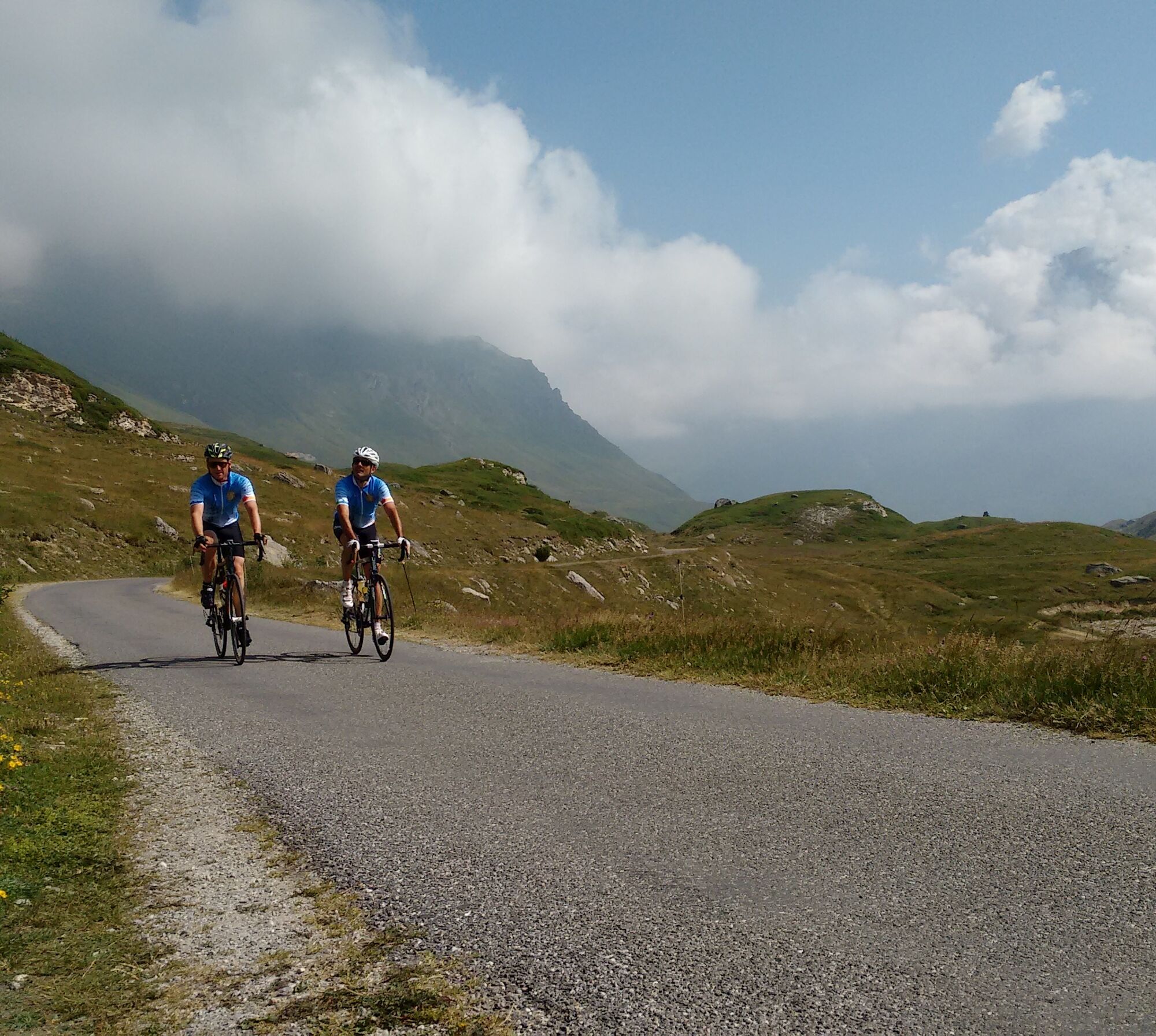
The road surface is good, and there are light traffic levels.
You have the possibility to drink water in Lanslebourg and to the Petit Mont-Cenis, and you can eat something in Lanslebourg and to the col du Mont-Cenis and Petit Mont-Cenis.
The nearest bike repair shop is located in Lanslevillard.
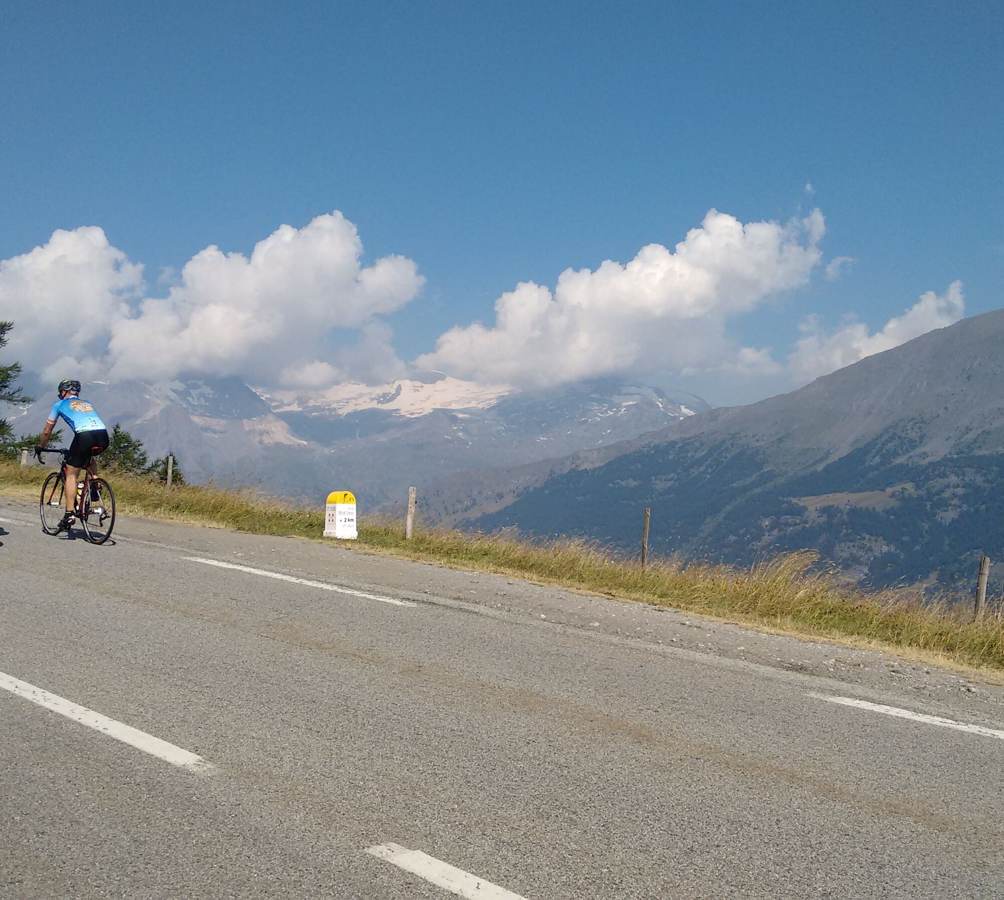
With its turquoise lake and magnificent scenery, the Col du Mont Cenis is a great place to take a long and relaxing break. The road over the pass has been an important route between France and Italy for more than 1000 years. You can find out more about the area’s geography, history and wildlife by visiting the Musée de la Pyramide (audio guides in English, French and Italian) and the Alpine Garden at the Plan des Fontainettes.
The road surface is good, and there are light traffic levels.
You have the possibility to drink water in Lanslebourg and to the Petit Mont-Cenis, and you can eat something in Lanslebourg and to the col du Mont-Cenis and Petit Mont-Cenis.
The nearest bike repair shop is located in Lanslevillard.
With its turquoise lake and magnificent scenery, the Col du Mont Cenis is a great place to take a long and relaxing break. The road over the pass has been an important route between France and Italy for more than 1000 years. You can find out more about the area’s geography, history and wildlife by visiting the Musée de la Pyramide (audio guides in English, French and Italian) and the Alpine Garden at the Plan des Fontainettes.
Pot
Lanslebourg-Mont-Cenis
(1,390 m)
Vas
0.0 km
Plan des Champs
(1,509 m)
Postaja gondole
1.8 km
Chapelle Saint-Pierre
(2,086 m)
Kraj čaščenja
9.7 km
Le Relais du Col
(2,087 m)
Restavracija
9.8 km
Chapelle Saint-Barthélémy
(2,017 m)
Kraj čaščenja
13.8 km
Les Coulours
(2,179 m)
Poravnava
18.0 km
Col du Petit Mont Cenis
(2,184 m)
Gorsko sedlo
18.0 km
Pot
Petit Mont-Cenis pass
težko
Cestno kolo
18.02
km
Lanslebourg-Mont-Cenis
(1,390 m)
Vas
0.0 km
Sablons
(1,416 m)
Postaja gondole
0.2 km
Plan des Champs
(1,509 m)
Postaja gondole
1.8 km
Pré Novel
(1,562 m)
Postaja gondole
2.8 km
La ferme du XXIII
(1,753 m)
Restavracija
5.5 km
Chapelle Saint-Pierre
(2,086 m)
Kraj čaščenja
9.7 km
Le Relais du Col
(2,087 m)
Restavracija
9.8 km
Chapelle Saint-Barthélémy
(2,017 m)
Kraj čaščenja
13.8 km
Les Coulours
(2,179 m)
Poravnava
18.0 km
Col du Petit Mont Cenis
(2,184 m)
Gorsko sedlo
18.0 km
Avtor
Zagotavlja Haute Maurienne Vanoise Tourisme
Za ogled Petit Mont-Cenis pass poskrbi outdooractive.com.

Zadnji spremljani
pred enim tednom

Informacije o poti
Enosmerna tura
Da
Varnostna navodila
In case of emergency, contact 112
Dodatne informacije in nasveti
Dodatne informacije
Tourism APIDAE data updated on 30/07/2021 by "Maurienne Tourisme".
An error on this page? Write to the owner mentioning these references:
Page name: Col du Petit Mont-Cenis | Page ID: 764626 | URL (link) of this Outdooractive page.
An error on this page? Write to the owner mentioning these references:
Page name: Col du Petit Mont-Cenis | Page ID: 764626 | URL (link) of this Outdooractive page.
Še ni pregledov
Pridobite vpogled Vedno v živo na mestu z več kot 9.500 spletnimi kamerami. bergfex Kot uporabnik Pro si lahko zdaj ogledate ustrezne spletne kamere za številne izlete v aplikaciji izleti iz. Tako si lahko neposredno ogledate trenutne razmere. Priljubljeni izleti v okolici
- 4.5
Hiking at Lake Clair
težkoPohodništvo 6.99 km little 'Haute-Maurienne Vanoise' circuit
težkoCestno kolo 32.0 kmThe White Lake
svetlobaPohodništvo 4.42 kmCol de l'Iseran from Modane
težkoCestno kolo 59.5 kmCol du Mont Cenis from Modane
težkoCestno kolo 34.8 kmHike from the Avérole refuge through the hamlet
srednjaPohodništvo 9.36 km- 5.0
The Builder's Trail on foot
svetlobaTematska pot 7.23 km Tour of the Bellecombe lakes
težkoPohodništvo 10.2 kmCol du Mont Cenis from Lanslebourg
težkoCestno kolo 9.84 km- 5.0
Walking tour of the Plan du Lac refuge
svetlobaPohodništvo 4.58 km

Pohodništvo in sledenje

Zaradi več kot 550.000 predlogov izletov, podrobnih zemljevidov in intuitivnega načrtovanja poti je aplikacija obvezna oprema za vse ljubitelje narave.

Ne zamudite ponudb in navdiha za naslednje počitnice
Naročite se na novice
Napaka
Zgodila se je napaka. Prosimo, poskusite znova.Zahvaljujemo se vam za prijavo
Vaš e-poštni naslov je bil dodan na poštni seznam.
Izleti po vsej Evropi
Avstrija Švica Nemčija Italija Slovenija Francija Nizozemska Belgija Poljska Lihtenštajn Češka Slovaška Španija Chorvátsko Bosna in Hercegovina Luksemburg Andora පෘතුගාලය අයිස්ලන්තය එක්සත් රාජධානිය අයර්ලන්තය ග්රීසිය ඇල්බේනියාව North Macedonia Malta Norway Montenegro Moldova කොසෝවො හන්ගේරියානු සමුහාණ්ඩුව San Marino රුමේනියාව එස්ටෝනියා ලැට්වියාව බෙලාරස් සයිප්රස් Lithuania Serbia බල්ගේරියාව Monaco ඩෙන්මාර්කය Sweden ෆින්ලන්තය





