The hiking trails in the municipal area
Bratlseitenweg
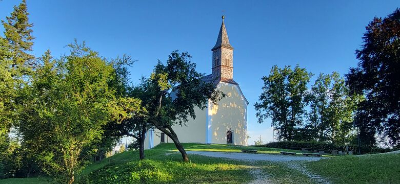
The 6.6 km long, family-friendly circular trail leads along an idyllic field path to the village of Hölling. There, on a hill, enjoy a magnificent panoramic view of the Mühlviertel landscape and discover seven churches. On a forest path, past fish ponds, you reach the Stoalus (ski lift in Hölling).
After about 500 m, you can choose a route that is...
The hiking trails in the municipal area
Bratlseitenweg
The 6.6 km long, family-friendly circular trail leads along an idyllic field path to the village of Hölling. There, on a hill, enjoy a magnificent panoramic view of the Mühlviertel landscape and discover seven churches. On a forest path, past fish ponds, you reach the Stoalus (ski lift in Hölling).
After about 500 m, you can choose a route that is 2.5 km shorter. The main route goes into the Mühltal valley and to Schörsching. Together with the quarry trail, the loop leads back to Arnreit.
Walking time approx. 2 hours
Earth Apple Side Trail
The name "Erdäpfelseite " is historical and refers to the parts of the municipality to the west of the main road, where mainly potato farmers were located. In contrast, the parts of the village to the east of the main road used to be called "Bratlseite ".
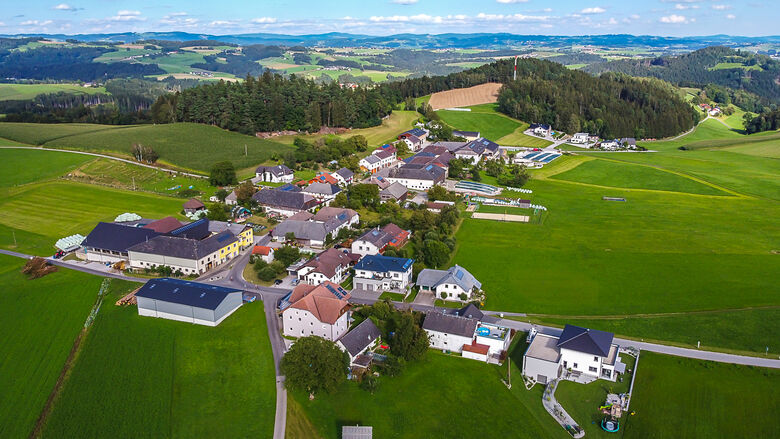
The Erdäpfelseitenweg begins in the centre of Arnreit and leads through the village towards Daim. You reach Liebenstein via the former castle path. After crossing the Daimbach, the trail continues through the forest in the direction of Katzenbach to Hochholz, where the trail splits.
On the right, the small loop leads through the forest, past the Ameisbergblick rest area in the direction of Haizing. There the large and small loop of the trail meet again.
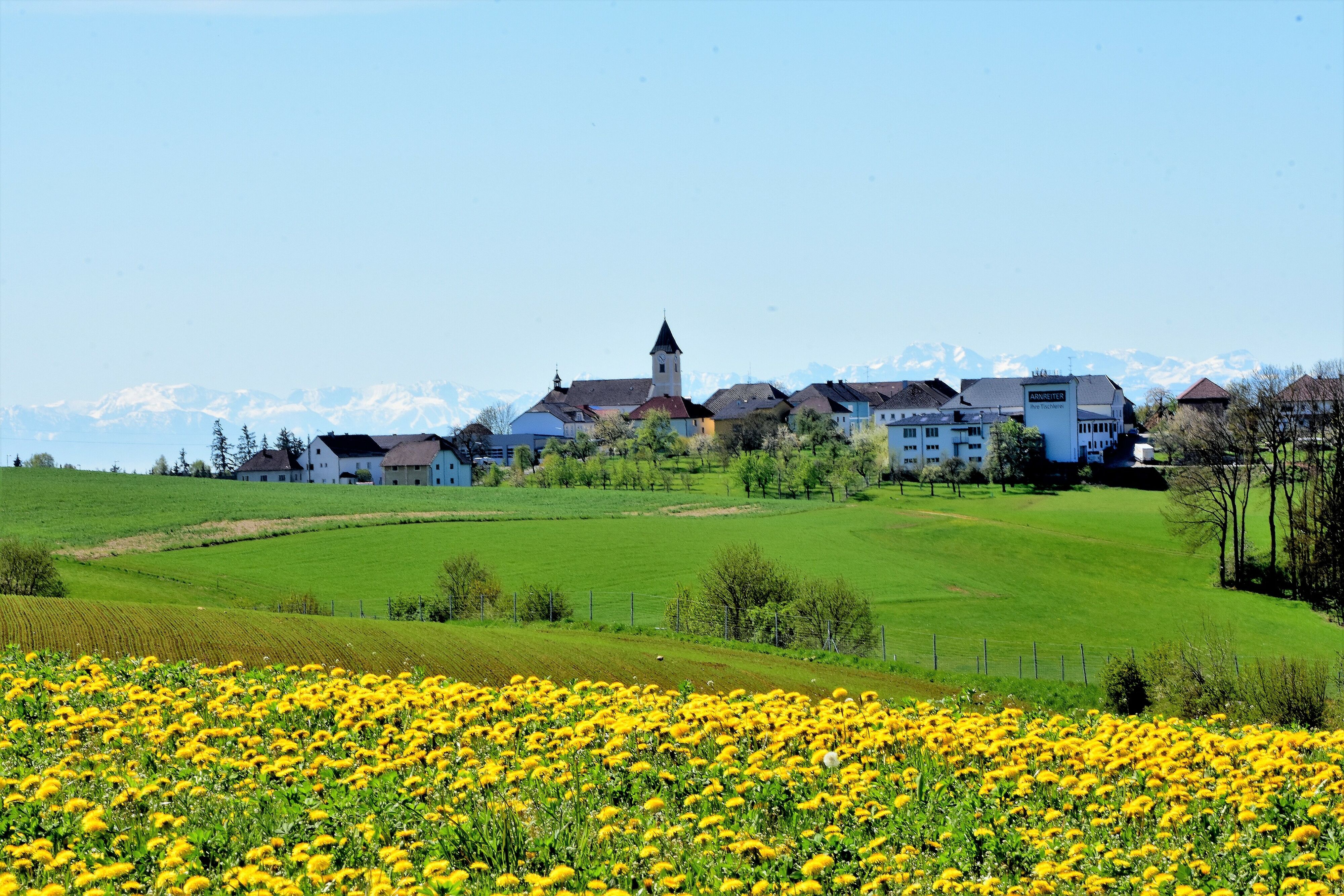
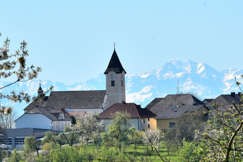
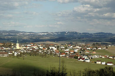
The large loop leads towards Stierberg and branches off to Mayrhof. There the trail leads along the goods road in the direction of Humenberg. At the Schauma cross on the municipal border between Arnreit and Rohrbach-Berg, the trail branches off in the direction of Haizing. The trail continues over the Höglinger Gupf with a magnificent panoramic view of the Mühlviertel hills to the village of Högling. After a short rest at the Laurenzistein, you return to the starting point of the hike.
Distance approx. 10.6 km (shortened approx. 7.5 km)
Walking time approx. 3 hours (shortened approx. 2 hours)
Quarry Trail
The 15 km long Quarry Trail first leads along short stretches of road to the villages of Getzing and Gierling (Rohrbach-Berg municipality). From there you reach Moosham via picturesque field paths.
Through a beautiful forest section, along the Froschbach stream (municipality border) and the continuing road, you come to a typical Mühlviertel farming village (Wippling). Via an idyllic field and forest path you reach the next village of Etzerreit. There, the Stöbich inn invites you to take a cosy break.
After about 2.5 kilometres you come to the Große Mühl. A few metres later you can take a detour to the Schörschinger quarry, which also gives the trail its name. This is where the well-known Mühlviertel granite used to be quarried and transported onwards by the nearby Mühlkreis railway.
Now a forest and meadow path leads to the village of Schörsching. Here there is already a beautiful view of the centre of Arnreit. Together with the "Bratlseitenweg", the loop now leads back to the starting point.
Walking time approx. 4 hours
Text: www.arnreit.at
Načrtujte počitnice
Pišite nam


Pohodništvo in sledenje


Ne zamudite ponudb in navdiha za naslednje počitnice
Vaš e-poštni naslov je bil dodan na poštni seznam.