






Neckertal High Trail Stage 3
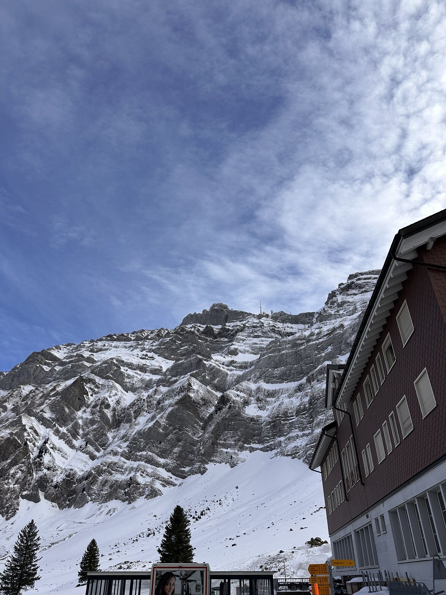
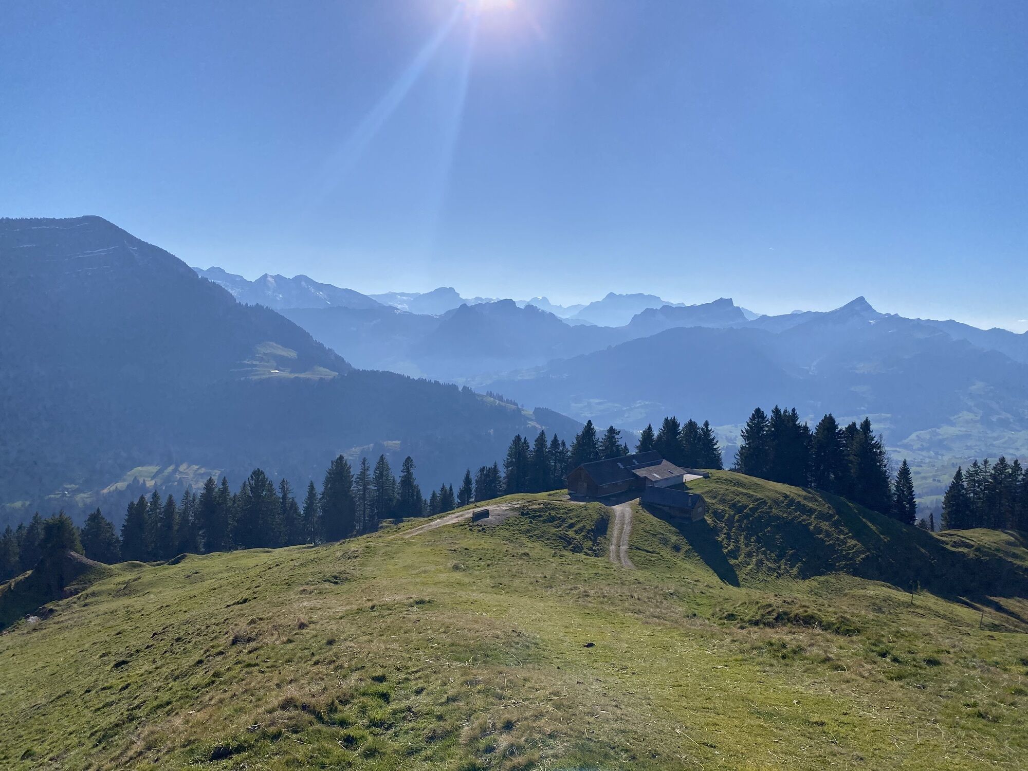
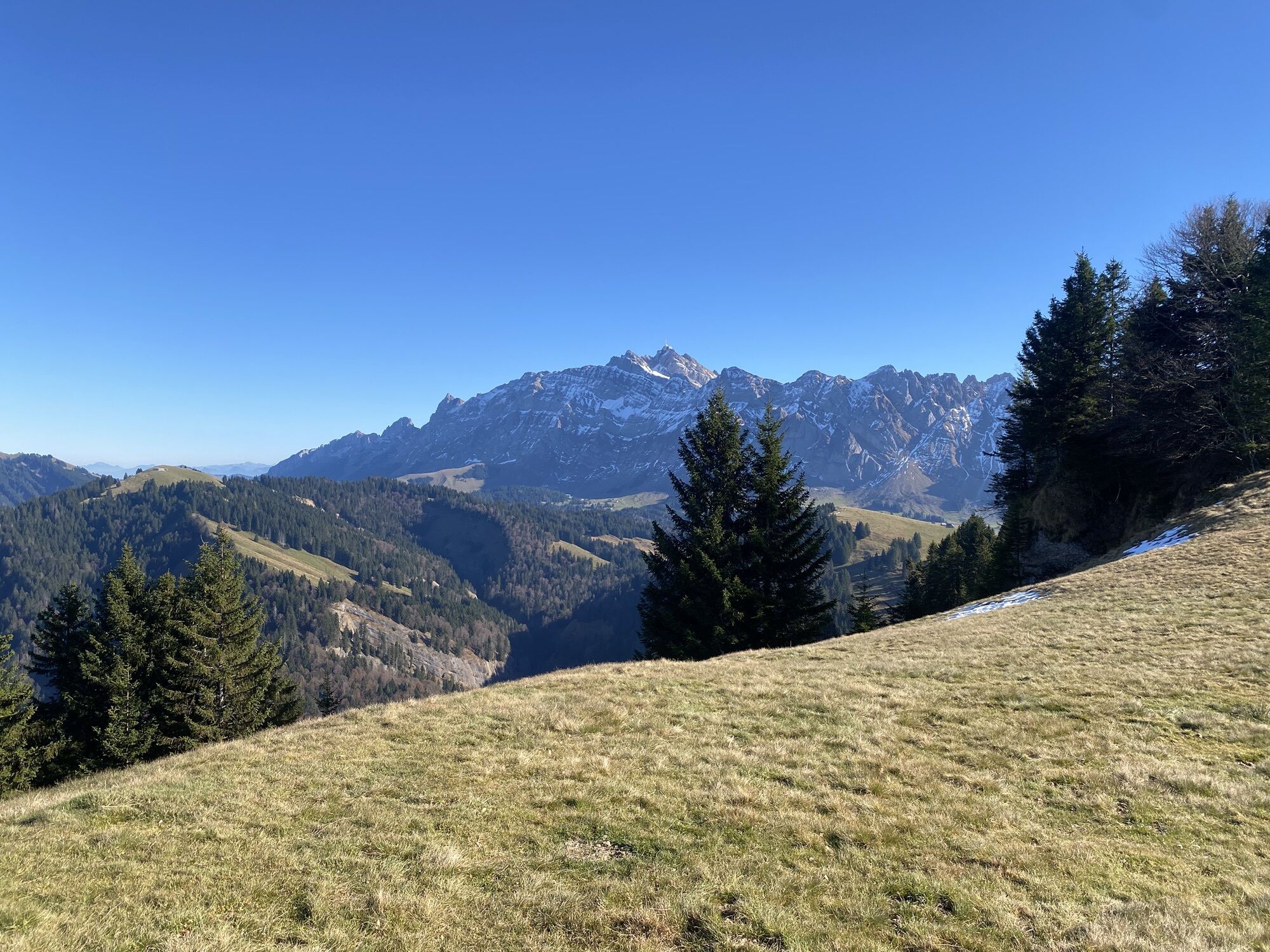
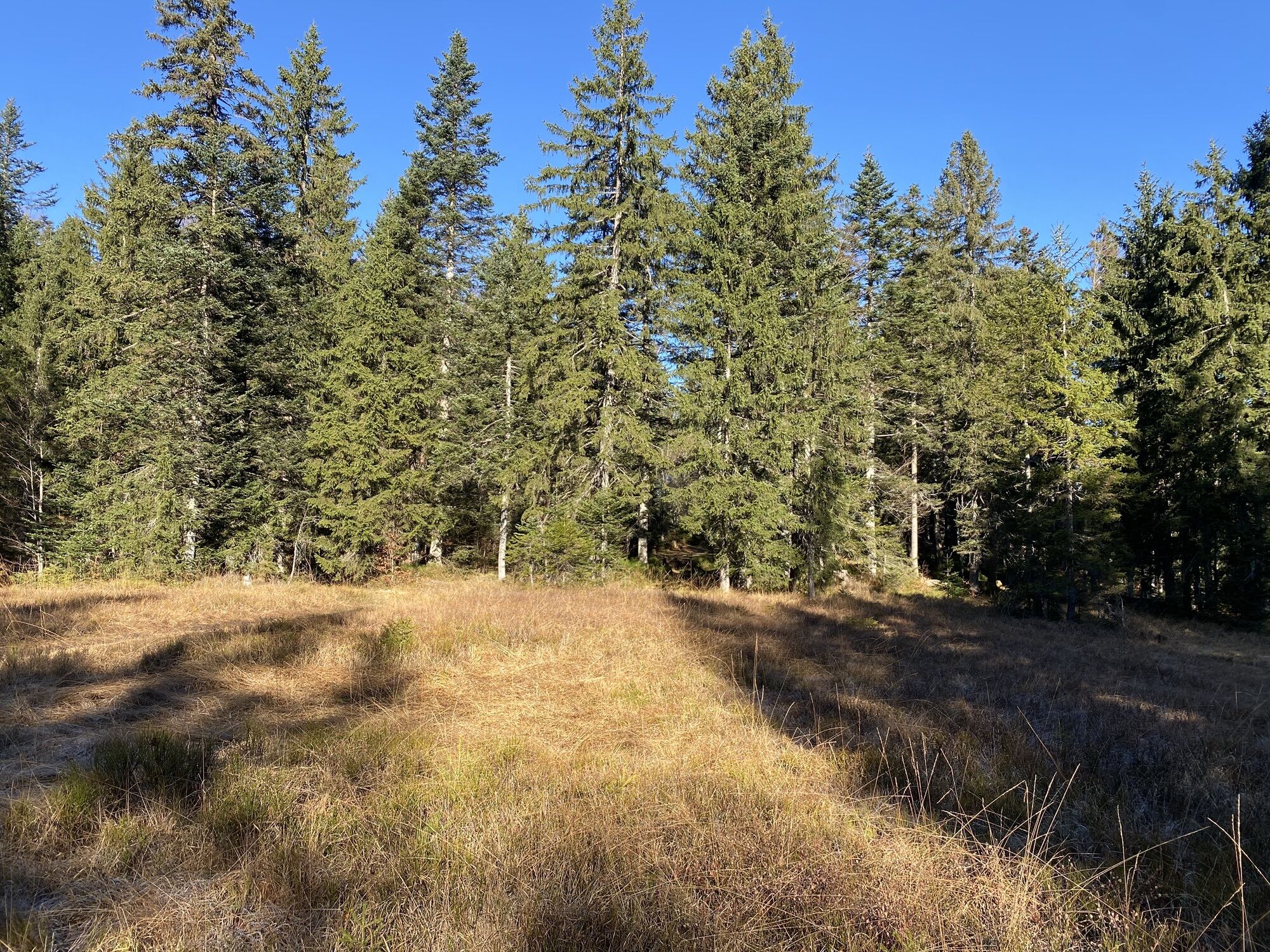
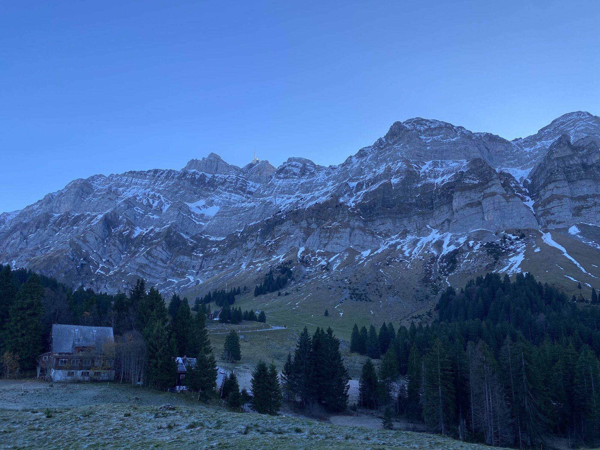
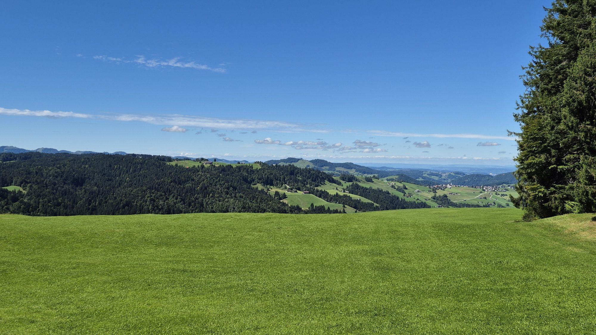
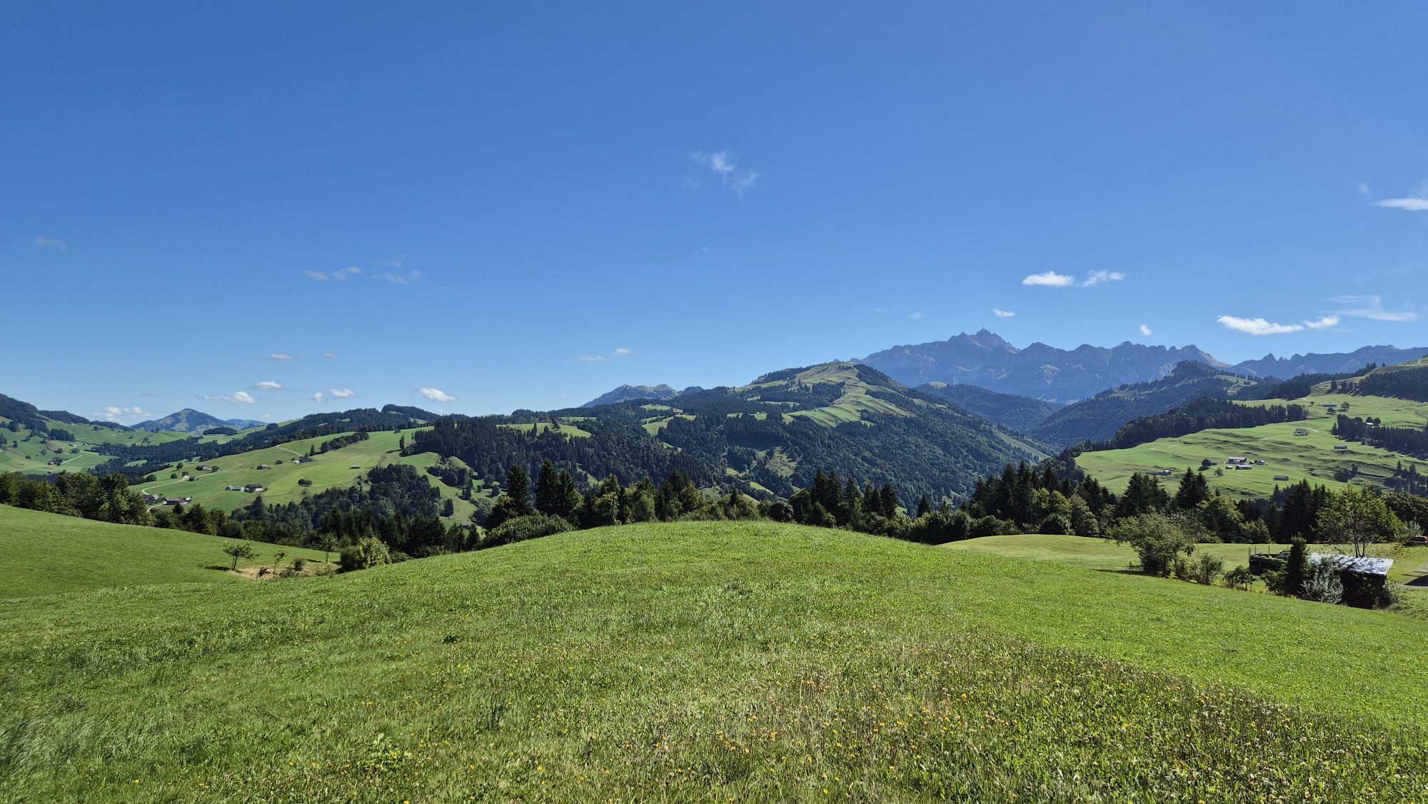
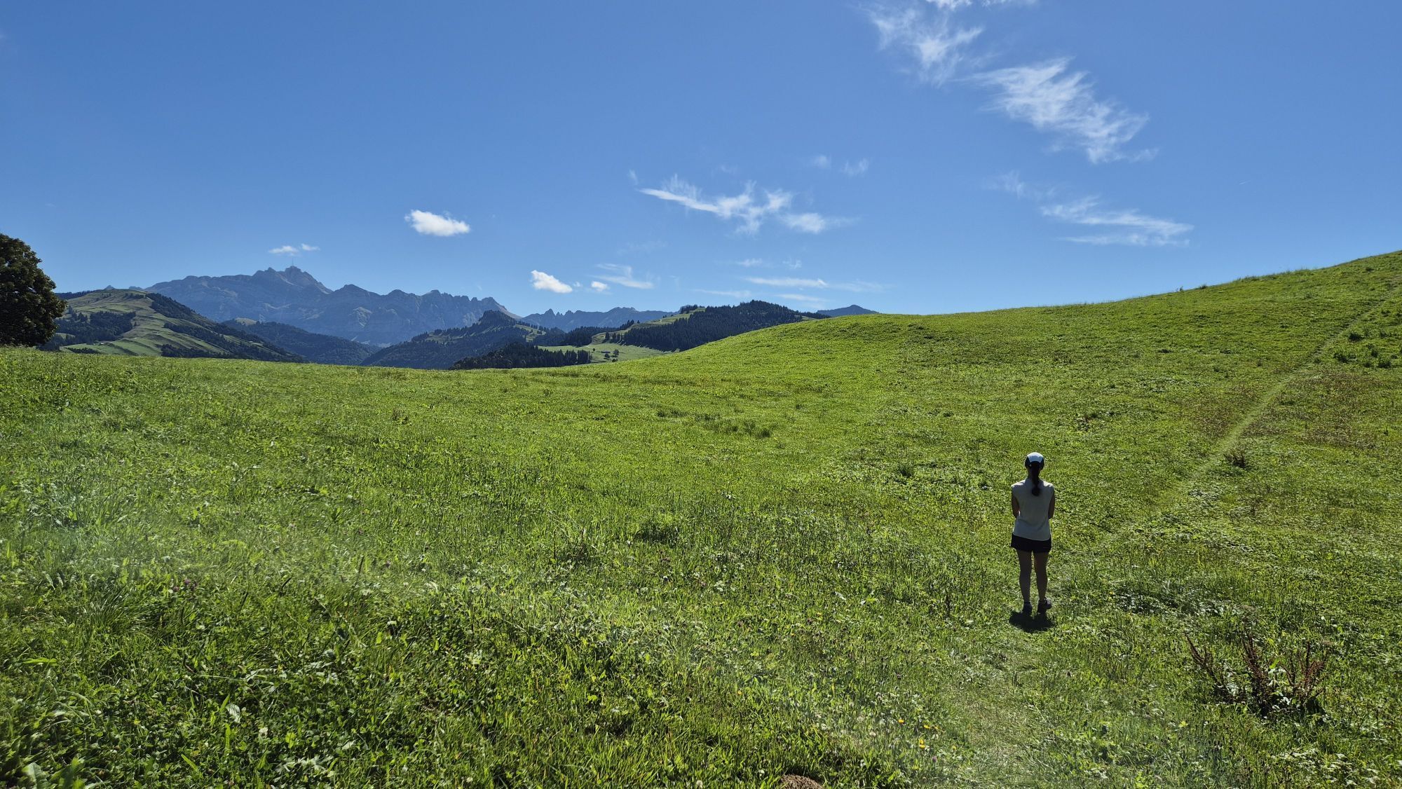
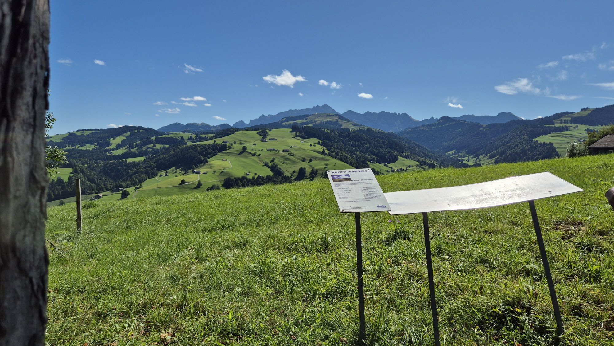
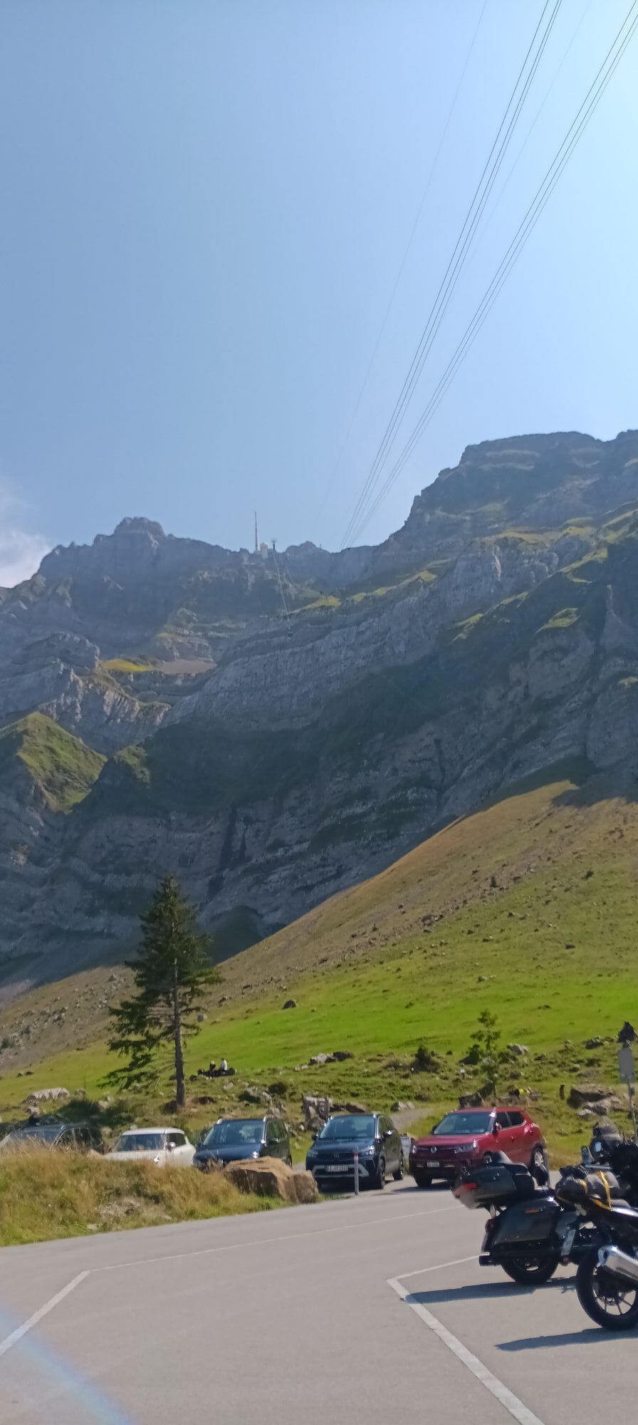
The first section leads through a protected raised moor and extensive forests. Through the Schwägalp nature experience park and the Kreisalpen forest reserve the route leads up to the Hinterfallenchopf,...
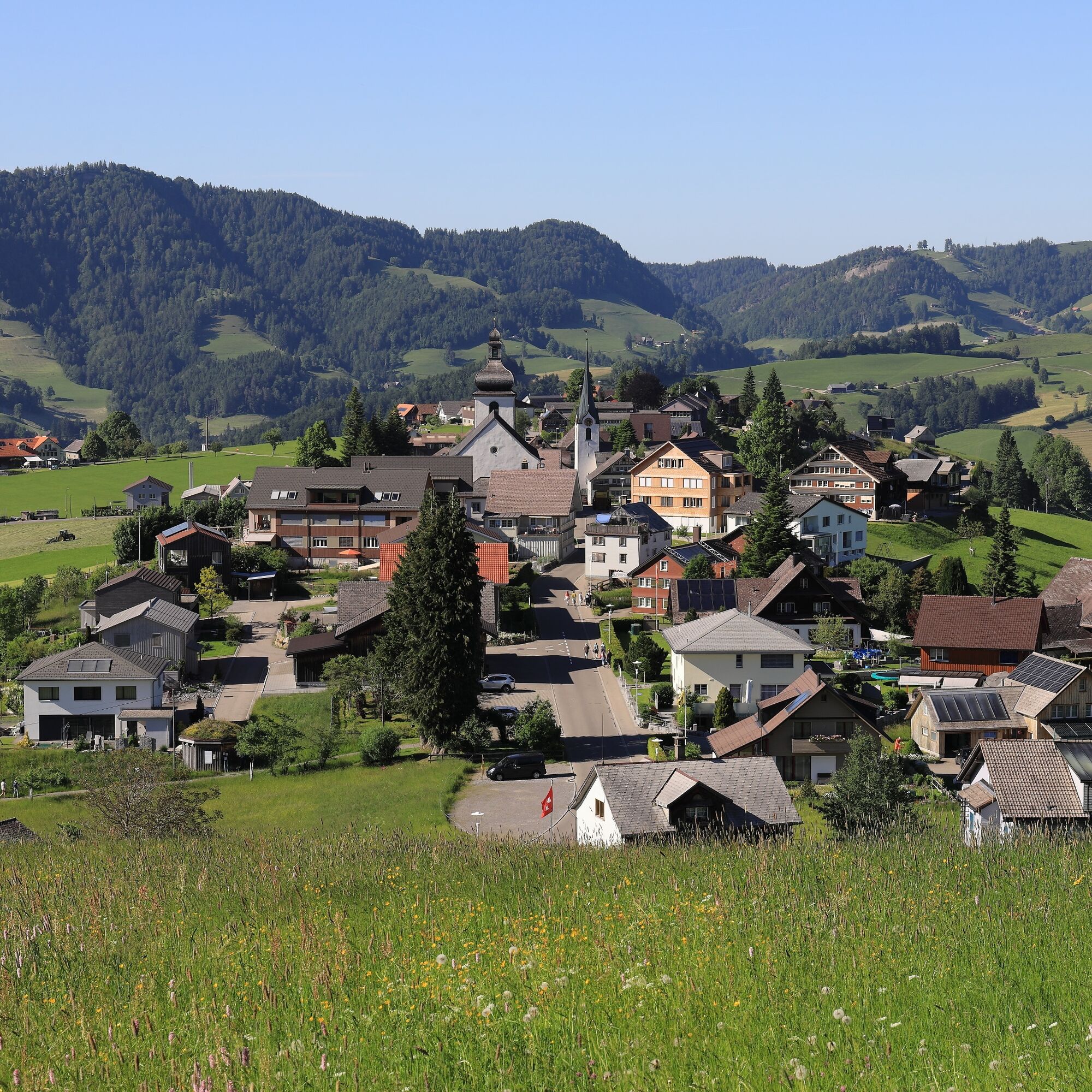
The first section leads through a protected raised moor and extensive forests. Through the Schwägalp nature experience park and the Kreisalpen forest reserve the route leads up to the Hinterfallenchopf, the highest point of the Neckertal high trail. Here the view opens up to the Churfirsten. Always nicely along the ridge between Thur valley and Neckertal it goes over the extensive Chlosteralpen to the Gössigenhöchi and Bendel. The last section leads through the Chellenmoor to Rigelschwendi and then down to the destination Hemberg.

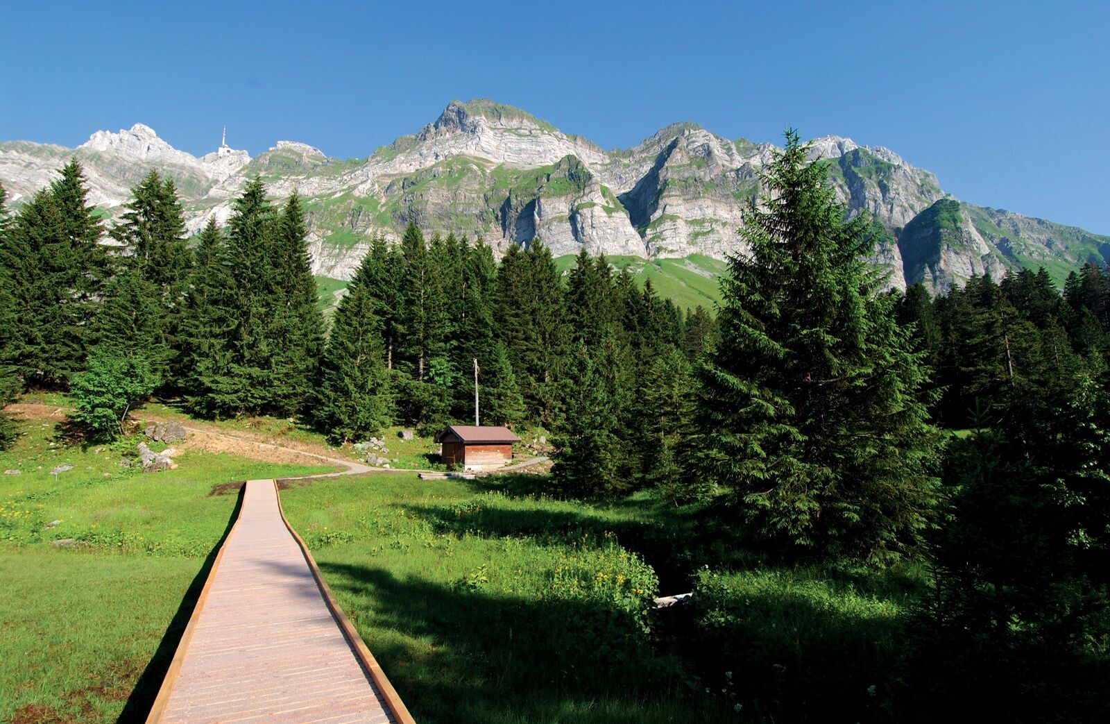
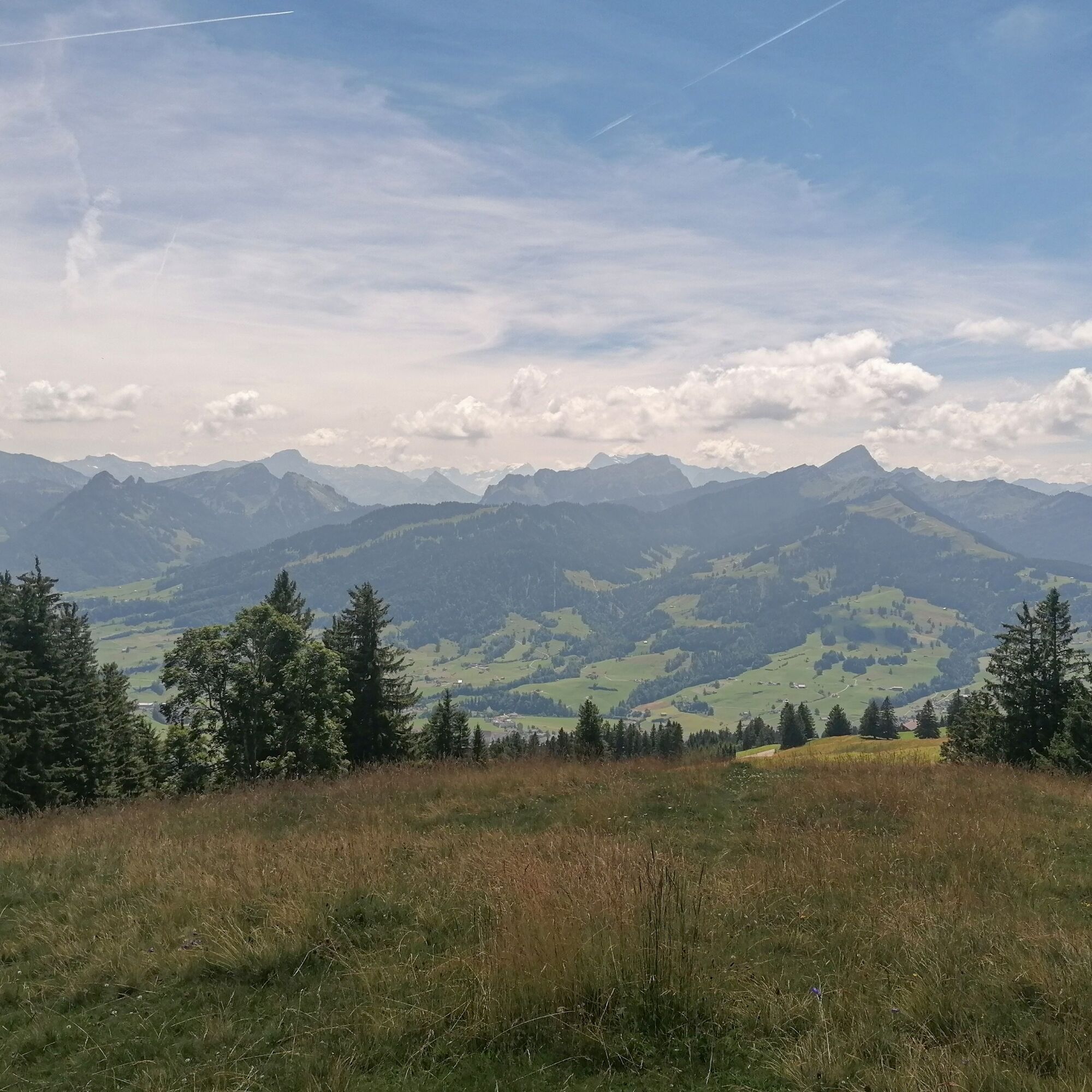

Schwägalp - Schwägalp Pass Height - Chräzeren Pass - Hinterfallenchopf - Gössigenhöchi - Bendel - Rigelschwendi - Hemberg
Day hiking backpack (about 20 liters) with rain cover, sturdy and comfortable footwear, weather-appropriate and durable clothing in layers, telescopic poles if needed, sun and rain protection, provisions and drinking water, first aid kit, pocket knife, mobile phone, headlamp if needed, maps
- From the greater Zurich area and central Switzerland:
Take the A3 at Reichenburg towards Rapperswil and then over the Ricken Pass to Nesslau. In Nesslau, turn left towards Schwägalp.
- From eastern Switzerland:
Drive from St. Gallen on the A1 towards Wil, take the Toggenburg exit. Follow the main road to Nesslau. In Nesslau, turn left towards Schwägalp.
- From southern Germany:
Via Bregenz and St. Margrethen on the A13 to Haag and take the exit towards Toggenburg/Wildhaus. Or via Konstanz to Wil, then take the Toggenburg exit and follow the main road to Nesslau. In Nesslau, turn left towards Schwägalp.
By train to Nesslau station and from there by post bus to the Schwägalp stop.
There are parking spaces available at Schwägalp.
Toggenburg Tourism
Hauptstrasse 104
CH-9658 Wildhaus
Tel: +41 (0)71 999 99 11
Email: info@toggenburg.swiss
Internet: www.toggenburg.swiss
Pridobite vpogled
Vedno v živo na mestu z več kot 9.500 spletnimi kamerami. bergfex Kot uporabnik Pro si lahko zdaj ogledate ustrezne spletne kamere za številne izlete v aplikaciji izleti iz. Tako si lahko neposredno ogledate trenutne razmere.
Priljubljeni izleti v okolici
-
4.8
Walensee Riviera Weesen - Quinten
srednjaPohodništvo 10.2 km -
4.7
Riviera Lake Walen Walenstadt-Quinten
srednjaPohodništvo 10.4 km -
4.6
Weesen - Quinten - Walenstadt
težkoPohodništvo 20.6 km -
4.9
Säntis-Gipfeltour, Wasserauen / Appenzell Innerrhoden
težkoPohodništvo 21.1 km -
4.6
Wasserauen - Seealpsee - Wasserauen
srednjaPohodništvo 7.71 km -
4.6
Säntis
srednjaGorski pohodništvo 17.5 km -
5.0
Schrina Alp and Cultural Trail
srednjaTematska pot 11.5 km -
4.7
Schwende, Appenzell Innerrhoden
srednjaPohodništvo 11.8 km -
4.9
Wasserauen - Klein Hütten - Bogartenlücke - Marwees - Meglisalp - Klein Hütten - Wasserauen
srednjaPohodništvo 14.4 km -
4.6
Schwägalp - Berggasthaus Tierwies - Girenspitz - Säntis
težkoPohodništvo 4.83 km
Pohodništvo in sledenje


Ne zamudite ponudb in navdiha za naslednje počitnice
Vaš e-poštni naslov je bil dodan na poštni seznam.





