





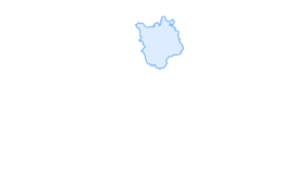
World Championship route from Winterthur to the Rhine

Stopnja težavnosti: 3
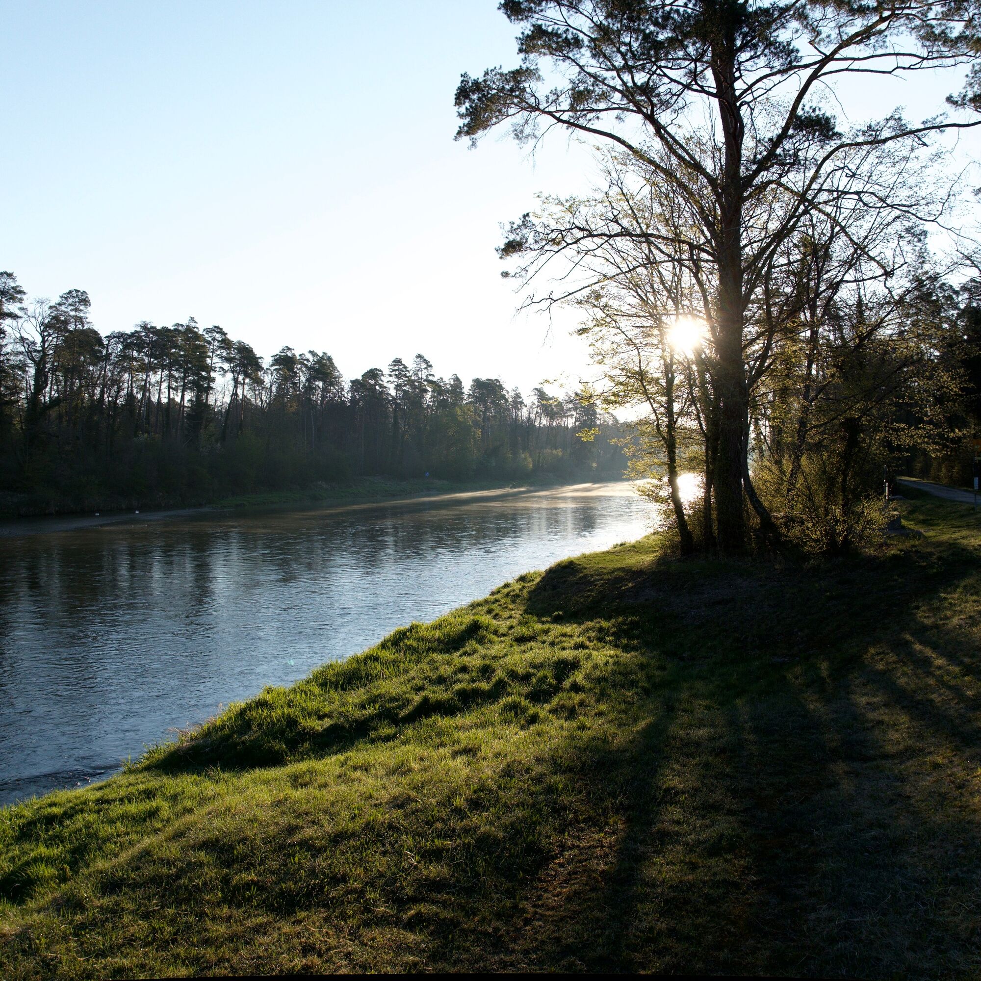
Along the route of the 2024 Cycling World Championship in September, the route leads from Winterthur through the Zurich wine region to the Rhine. Some steep sections raise your pulse and make you sweat...
Along the route of the 2024 Cycling World Championship in September, the route leads from Winterthur through the Zurich wine region to the Rhine. Some steep sections raise your pulse and make you sweat heavily. The descent is a well-deserved reward. The route passes through picturesque villages known for their charming timber-framed buildings.
More information at:
www.zuercher-weinland.ch or www.winterthur.com



Ideal with road bike or e-bike
Start in Flaach or in Winterthur
Train connections from and to Winterthur
Bus from Flaach, Ziegelbrücke at the Thurauen Nature Center
3
Restaurants along the way:
- Restaurant Stäubis in Flaach
- Restaurant Traube in Berg am Irchel

Priljubljeni izleti v okolici
-
3.0
Sennhof (Töss) - Kyburg - Weisslingen Rundwanderung
srednjaPohodništvo 13.0 km -
4.8
Rundwanderweg Rheinau
svetlobaPohodništvo 6.85 km -
4.8
Flaach - Ellikon - Flaach
Pohodništvo 12.0 km -
4.0
Around Rheinau
svetlobaPohodništvo 4.90 km -
Bachsertal - Glatt
srednjaKolesarjenje 56.6 km -
5.0
Rund um den Husemersee
svetlobaPohodništvo 12.5 km -
3.0
Frauenfeld Islikon
srednjaTek 6.98 km -
Eglisau - Buchberg - Eglisau
svetlobaPohodništvo 5.99 km -
Husemersee Naturschutzgebiet
svetlobaPohodništvo 5.82 km -
5.0
Nussbaumen - Hochwacht Rihnsberg
svetlobaPohodništvo 11.9 km
Pohodništvo in sledenje


Ne zamudite ponudb in navdiha za naslednje počitnice
Vaš e-poštni naslov je bil dodan na poštni seznam.





