


Cry d’Er-Crans-Montana route
Stopnja težavnosti: 2
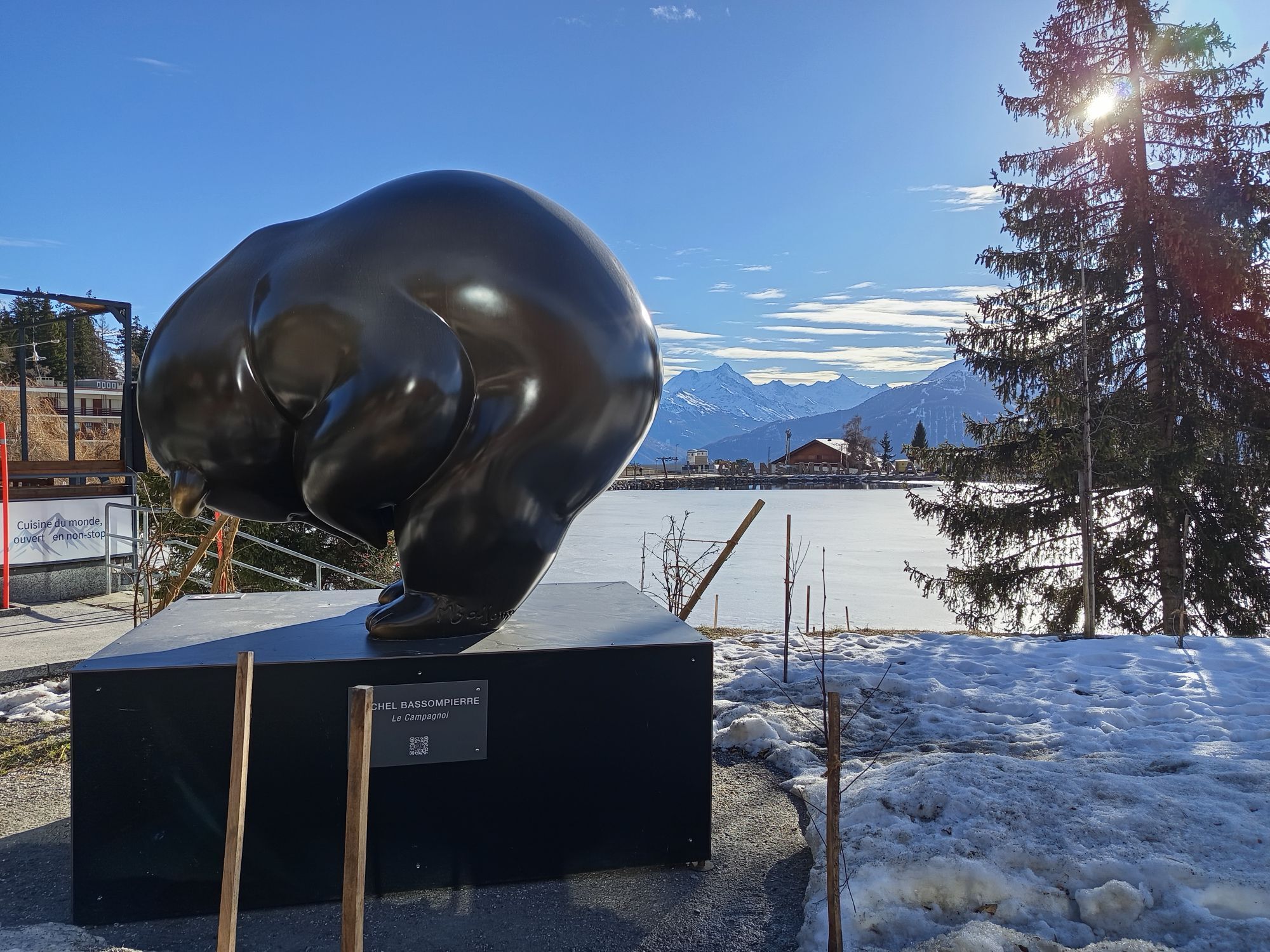
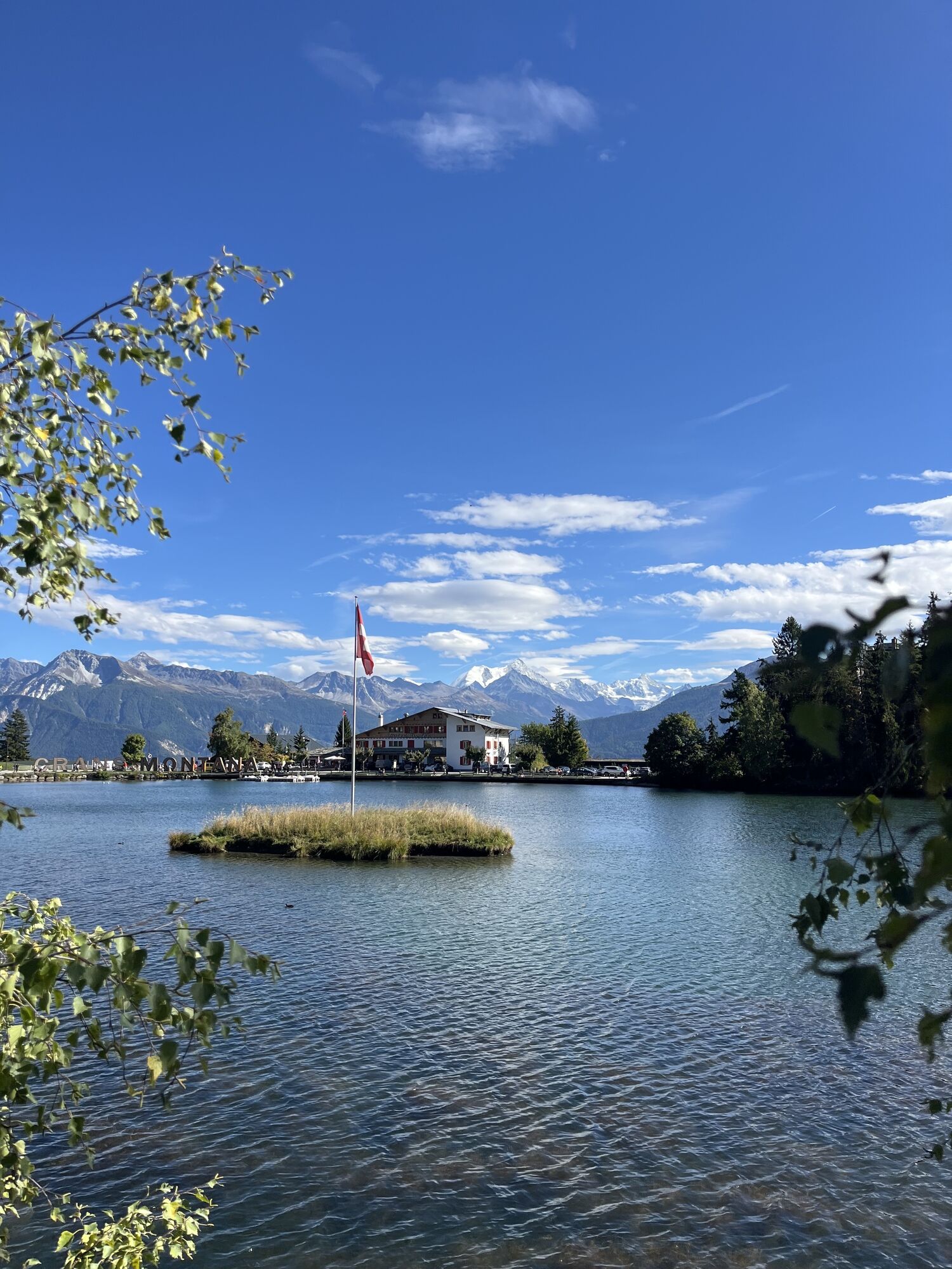
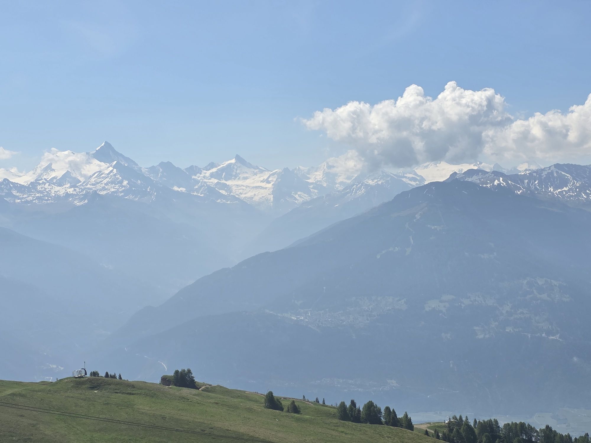
Fotografije naših uporabnikov
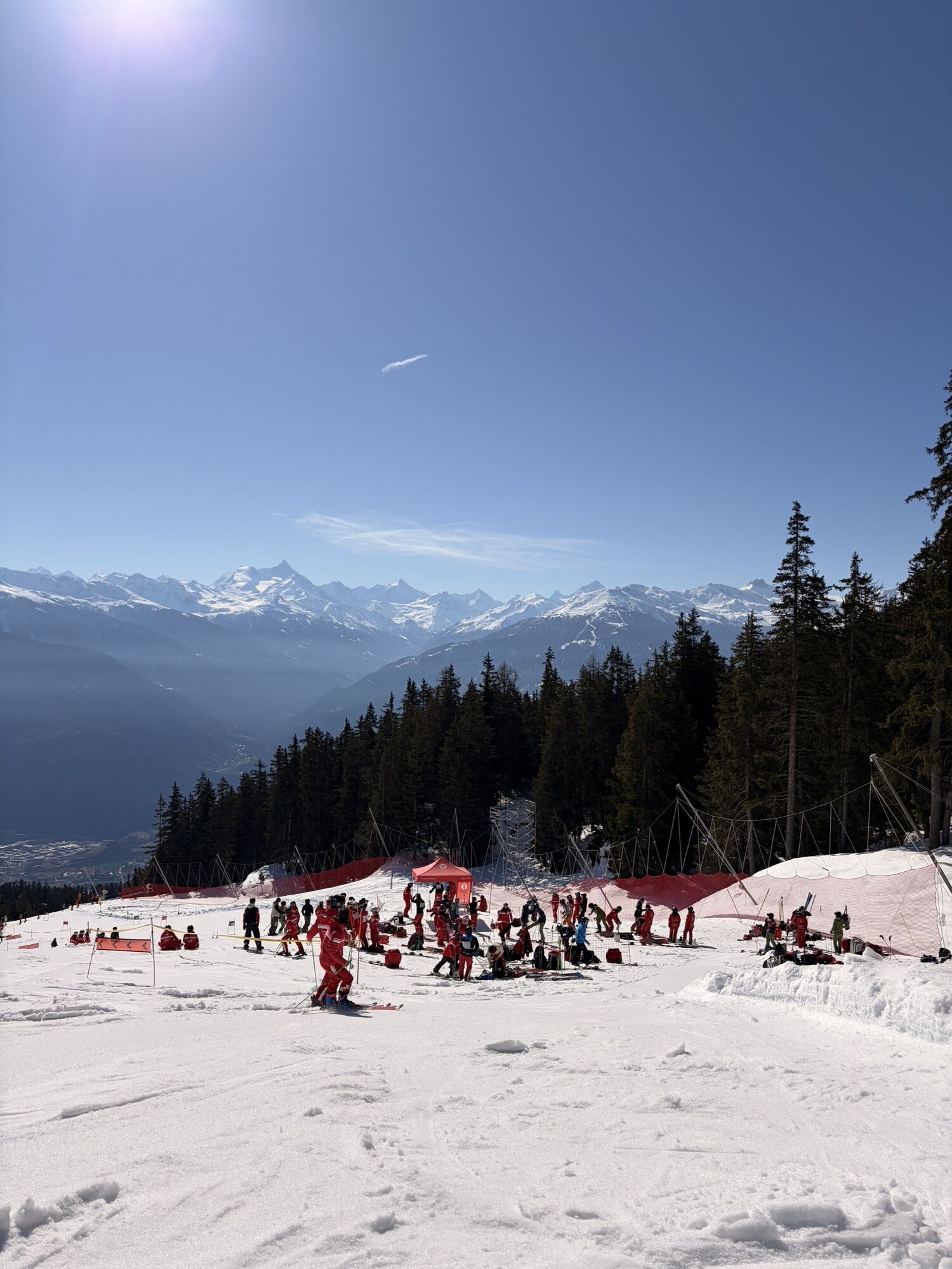
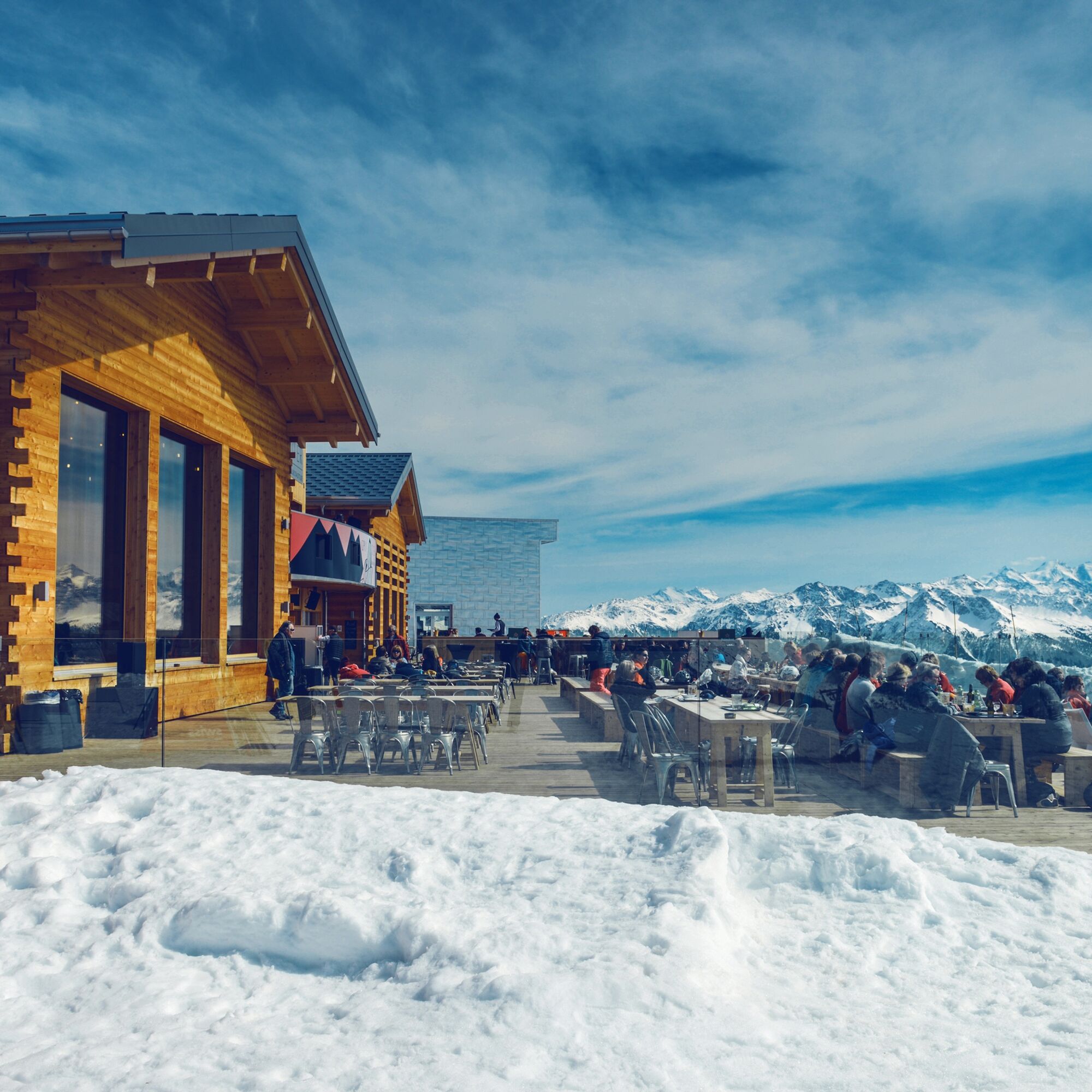
You reach Cry d’Er by cable car, where you can visit the "Cry d’Er Club" and the mountain restaurant. Walk downhill towards Chetzeron. Most of the route runs parallel to the ski slope. On the right side,...
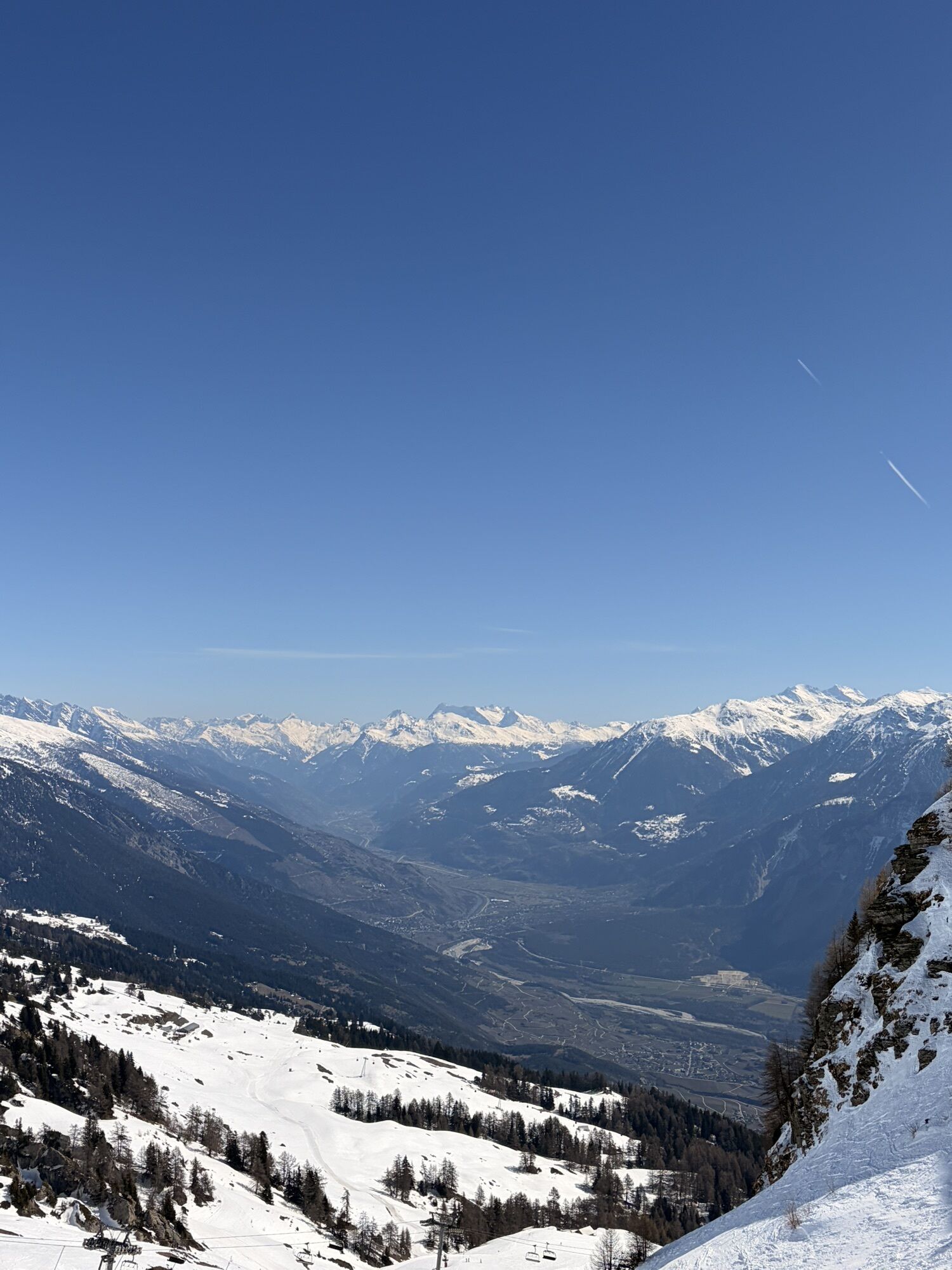
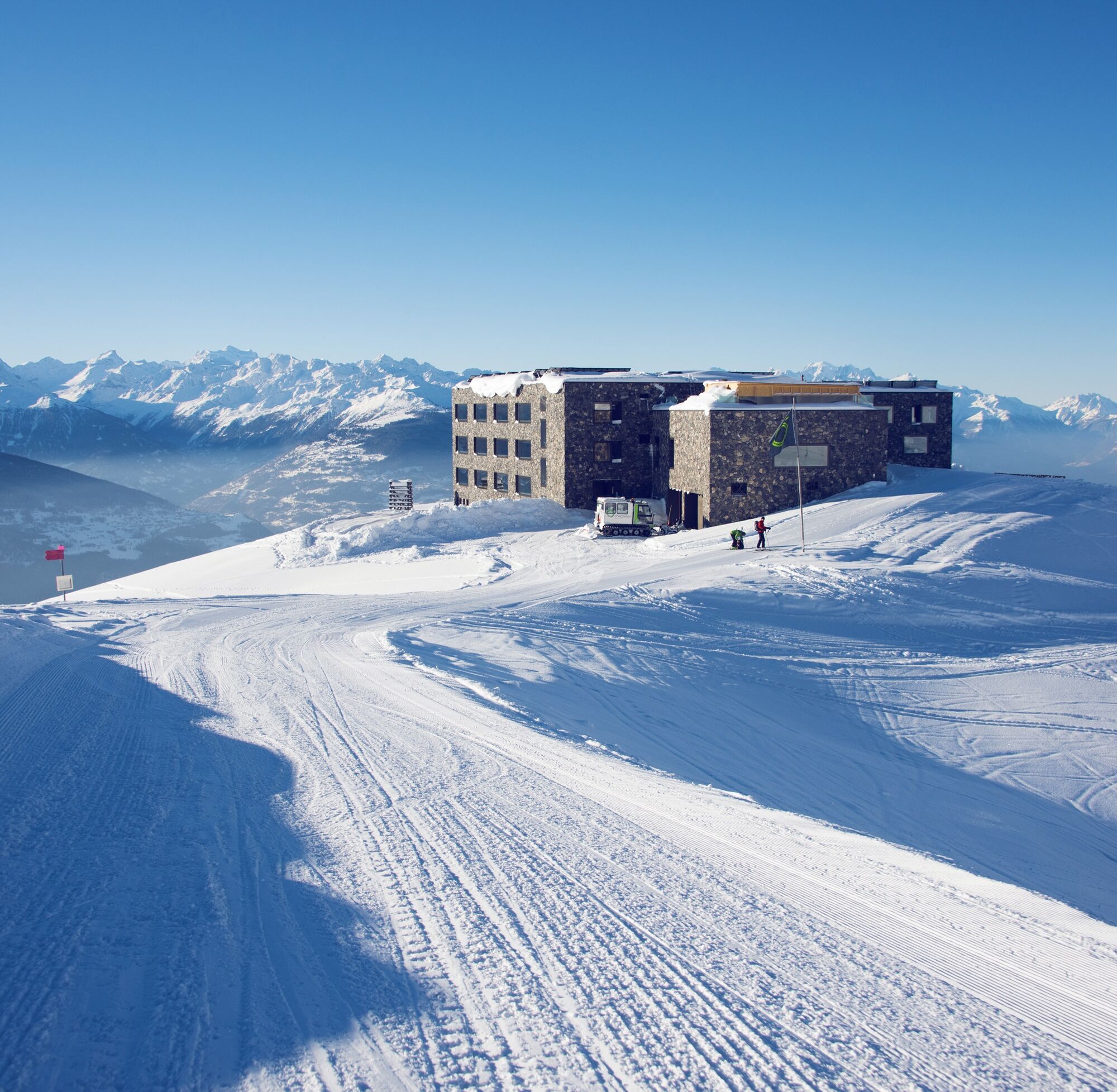
You reach Cry d’Er by cable car, where you can visit the "Cry d’Er Club" and the mountain restaurant. Walk downhill towards Chetzeron. Most of the route runs parallel to the ski slope. On the right side, at the valley end, you can see the Tseuzier reservoir, which is formed by the Rawyl dam and is responsible for the region's energy production. Soon you will pass the exclusive Hotel Chetzeron, which offers an inviting mountain terrace in a scenic location.
Continue the hike to Merbé, the mid-station of the Cry d’Er gondola. You can shorten the hike by taking the gondola back to Crans-Montana. The terrace of the Merbé restaurant also invites you to linger. Then you reach the Lac de Chermignon, where several picnic areas are available. The final descent leads you to the center of Crans, where the hike ends.
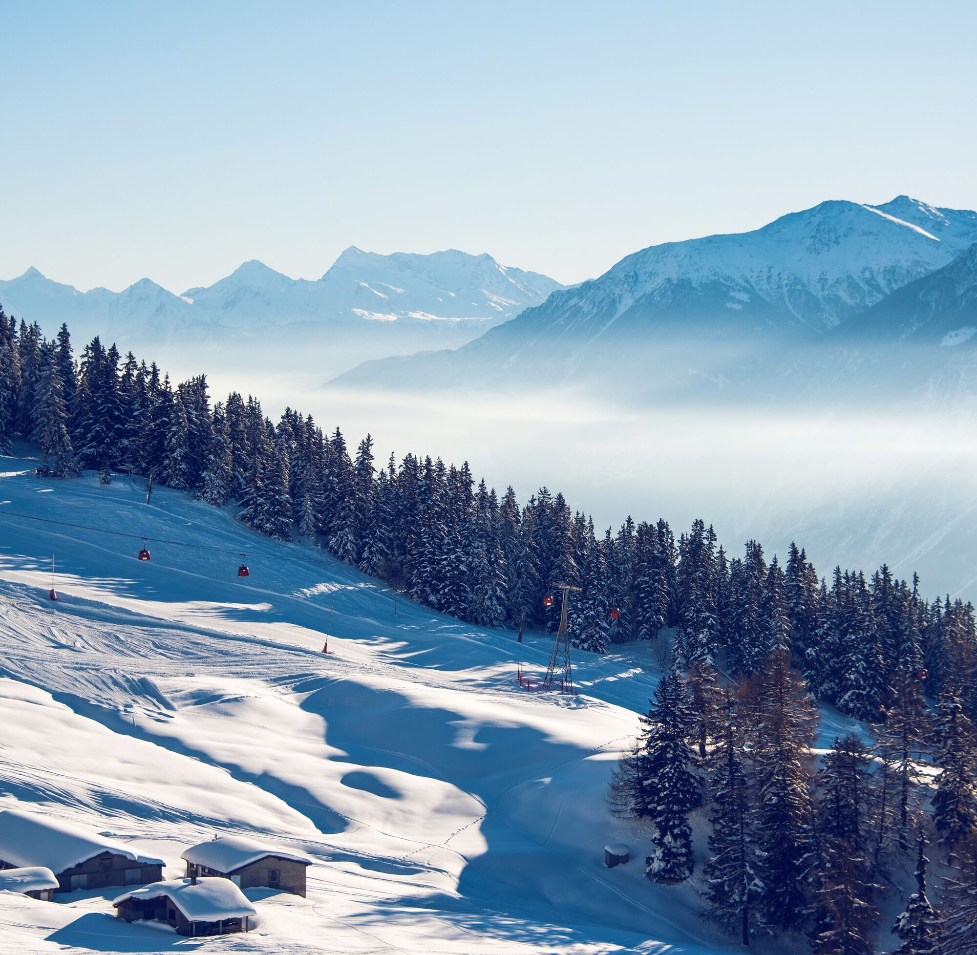

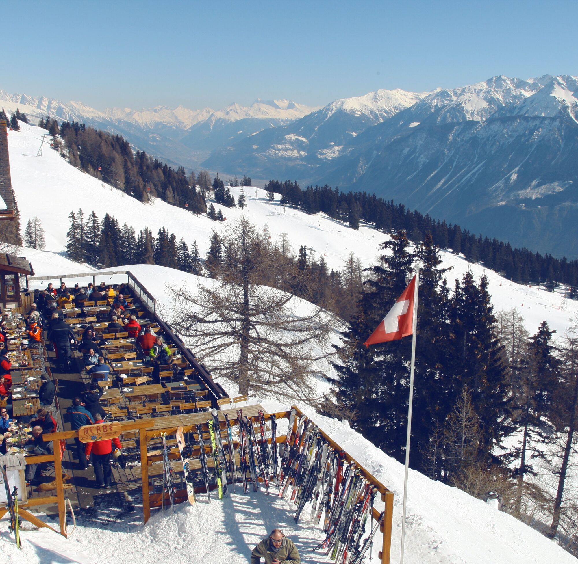
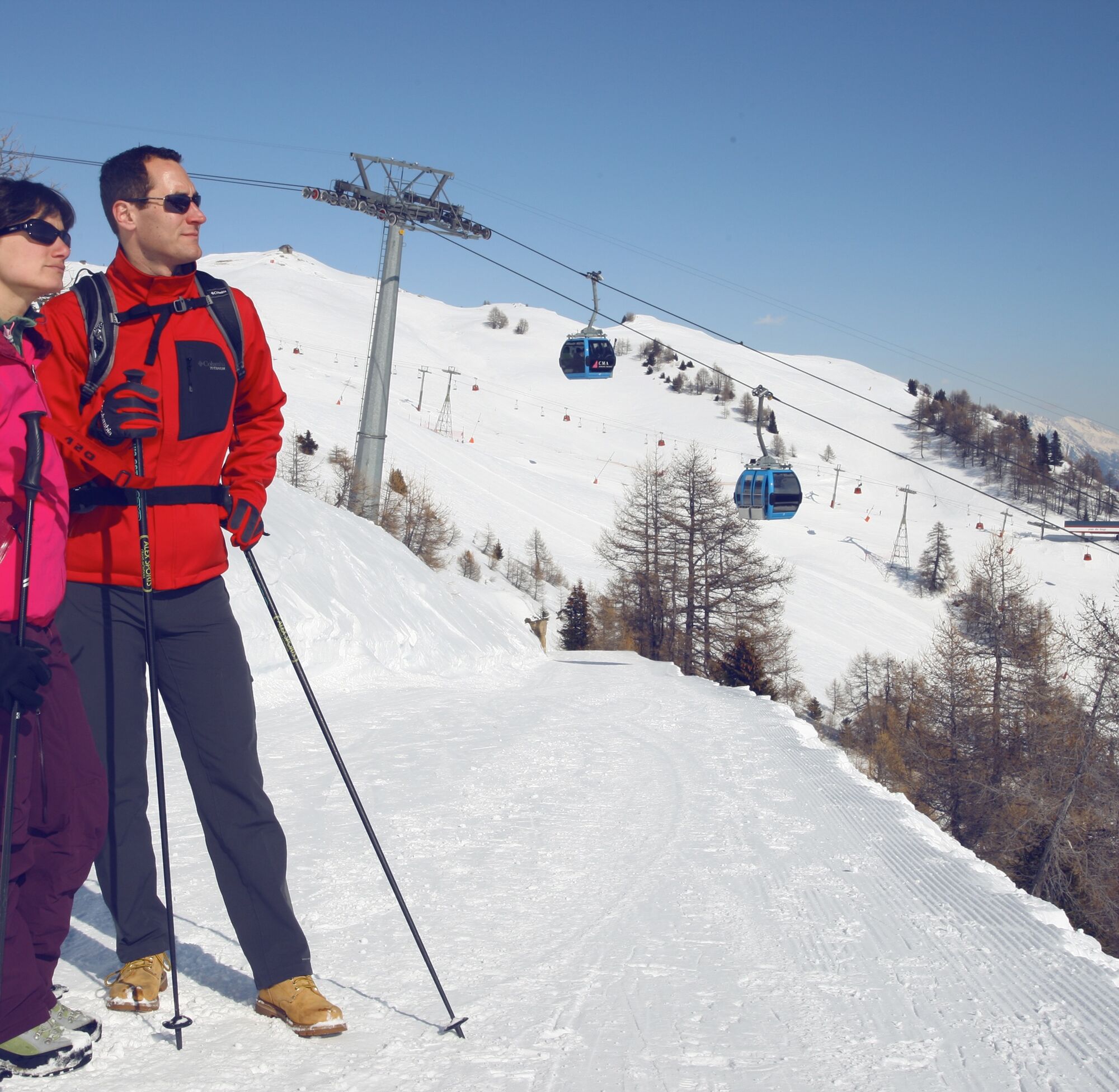
You can easily reach the starting point Cry d’Er by gondola. The first descent towards Chetzeron runs along the ski slope. Along the mountain ridge, the hike leads to Hotel Chetzeron with its panoramic terrace. Not to be forgotten is the view towards Anzère and the Tseuzier reservoir. The descent continues to Merbé, where the mid-station of the cable car is located. At the lower Lac de Chermignon, you can take another break before the final descent into the village center of Crans.
Da
We recommend:
Good footwear Weather-dependent (waterproof) and warm clothing Headwear Sun protection Provisions Camera Hiking poles (optional) Printout of the hiking trail (click "Print" to download)Use of the winter hiking trails and information on this website is at your own risk. Conditions on-site may cause changes in the route. Valais/Wallis Promotion assumes no responsibility for the accuracy or completeness of the information on this website.
Carry a map with you. Download the complete description of the hiking trail with a large-scale map by clicking "Print" at the top right of the page. Use only marked hiking trails and heed all signs and instructions – for your own safety, to protect grazing animals, and out of respect for wildlife. Behave considerately towards other trail users and the landscape. Take your waste and others’ waste with you. Bring additional sun protection. UV rays at high altitudes can be very strong, especially in winter, even under cloudy weather. Plan your hike carefully: consider the required fitness level of all participants, weather forecasts, and seasonal dependencies. Weather conditions can change very quickly and without warning in the mountains. Appropriate clothing and sufficient provisions (food and drink) are very important. In unstable weather, it is better to turn back early. Do not go onto glaciers without a mountain guide. Observe warning signs that indicate dangers, especially avalanche risks.Inform third parties about the hike and if possible, never go alone
Take the A9 motorway exit Sierre-Ouest in Sierre, follow the cantonal road to the center of Crans. The hike begins at Hotel Miedzor, which is easily reachable from the center. The bus stops near the Sporting stop.
You can reach Crans-Montana by funicular, post bus, or bus connections from Sierre to Crans-Montana. You can get to the funicular from Sierre train station by following the red marking on the ground.
Parking Sporting near the starting point of the hike. Follow the local parking guidance system.
2
More information about the destination can be found here:
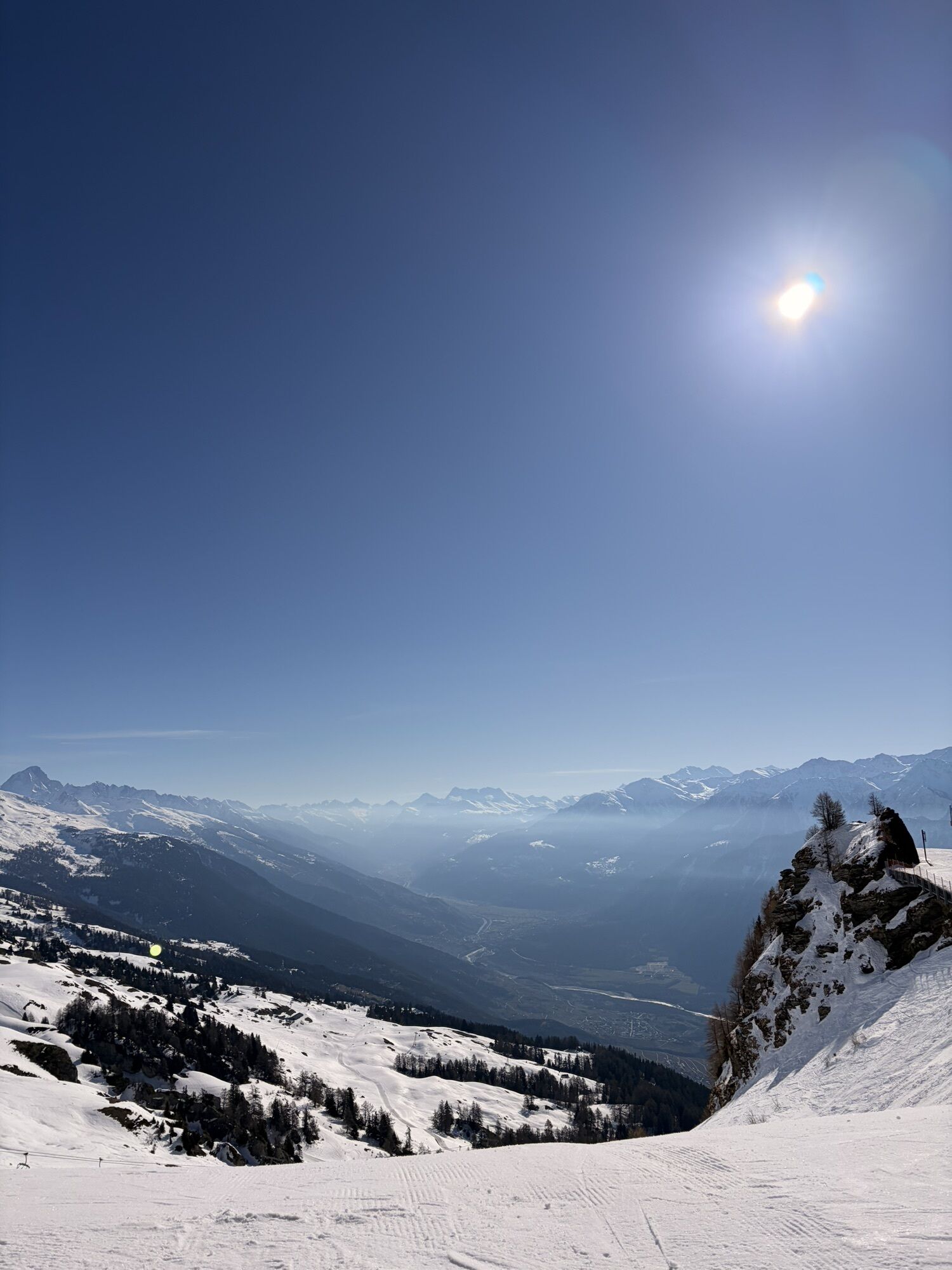
Crans-MontanaMake a stop at Hotel Chetzeron, the exceptional hotel in a unique location. The hotel is located in a former chairlift station and has been tastefully furnished. In particular, the sun terrace offers breathtaking views of the Valais four-thousanders.
Priljubljeni izleti v okolici
- 4.7
Leukerbad - Gemmipass - Lämmerenhütte
srednjaPohodništvo 9.49 km - 4.0
Grand Bisse de Lens
svetlobaPohodništvo 8.73 km - 4.0
Gemmipass - Lämmerenhütte - Rote Totz Lücke - Daubensee - Gemmipass
srednjaPohodništvo 13.7 km - 4.0
Tripon - Brac – Ancien Bisse du Torrent Neuf – St. Marguerite – Torrent Neuf – Prafirmin - St. Germain
svetlobaPohodništvo 12.9 km Talabfahrt (Rinderhütte-Tunnel-Folljeret-Leukerbad)
Pohodništvo 7.78 km- 4.0
Wolfstritt
Pohodništvo 7.02 km - 4.0
Belvédère via ferrata
srednjaVia ferrata 1.81 km - 5.0
Klettersteig Daubenhorn
težkoVia ferrata 5.34 km - 5.0
Wildstrubel Umrundung 4-Tage
srednjaPohodništvo 79.1 km Erlebnistipp Bütschi Hahnenmoos - Luegli - Bütschi - Bergläger
Pohodništvo 5.85 km
Pohodništvo in sledenje


Ne zamudite ponudb in navdiha za naslednje počitnice
Vaš e-poštni naslov je bil dodan na poštni seznam.