







Jolischlucht
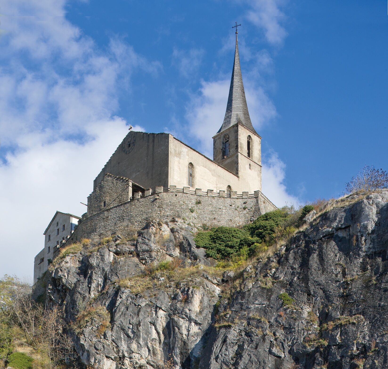
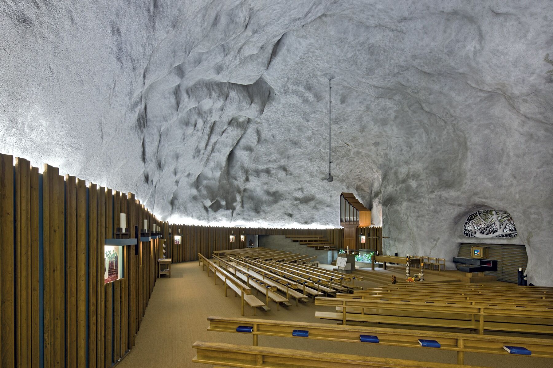
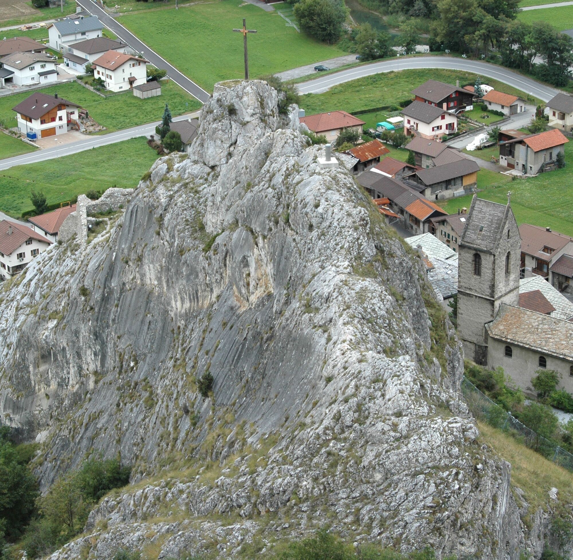
Above the village of Raron, the St. Romanus castle church towers directly over the rock church of St. Michael. At this historic site lies the grave of the poet Rainer Maria Rilke. Just before the castle...
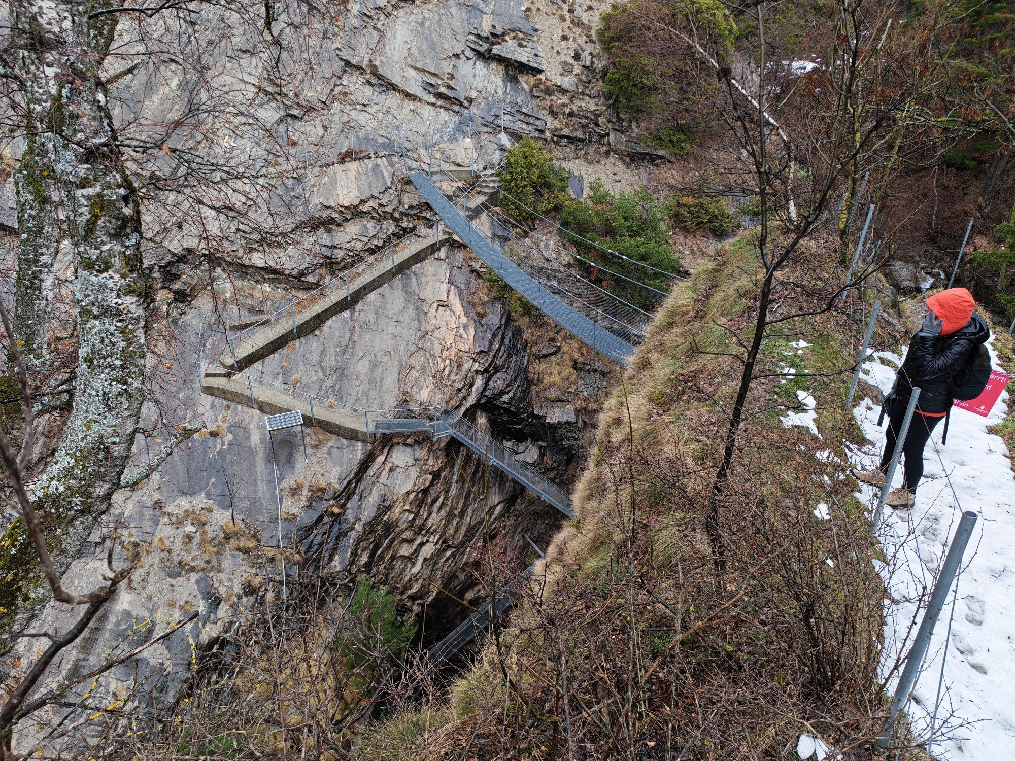
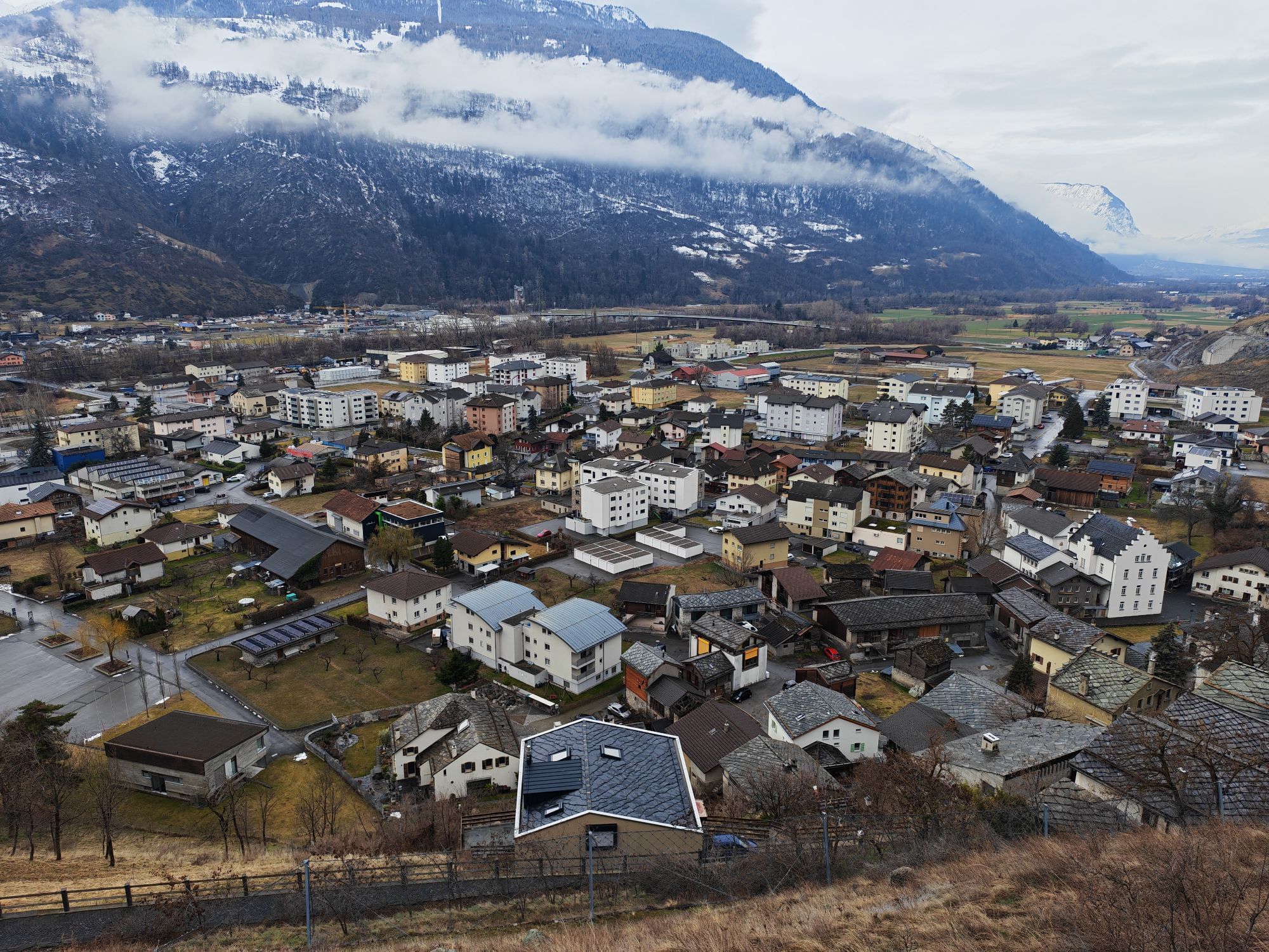
Above the village of Raron, the St. Romanus castle church towers directly over the rock church of St. Michael. At this historic site lies the grave of the poet Rainer Maria Rilke. Just before the castle church, the path to the “Lötschberger” on the southern ramp branches off. After about two hours of walking, there is the first refreshment break at the Buvette by the Rarnerchumma. From there, it continues to the wild Jolischlucht gorge, visible from the Rhone Valley. On the suspension bridge, you get a view into the wildly rushing gorge. Thrill and adrenaline are guaranteed on this 20-meter-high footbridge!

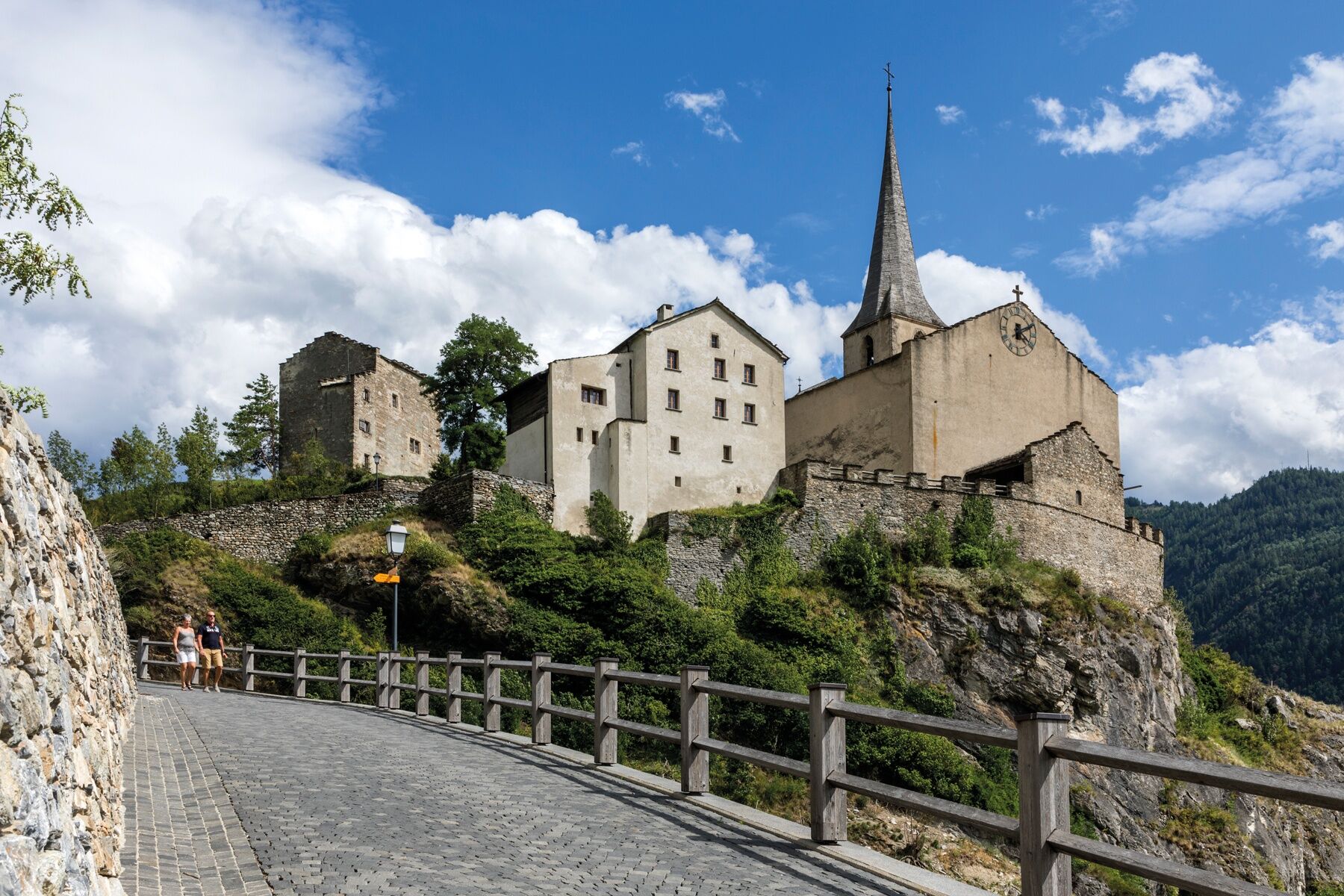
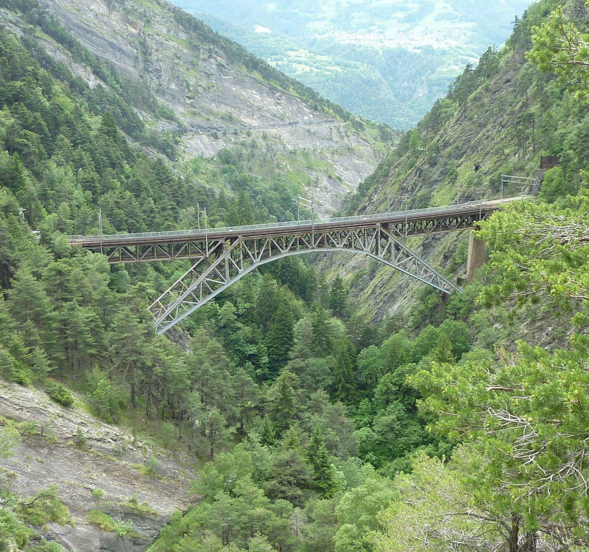
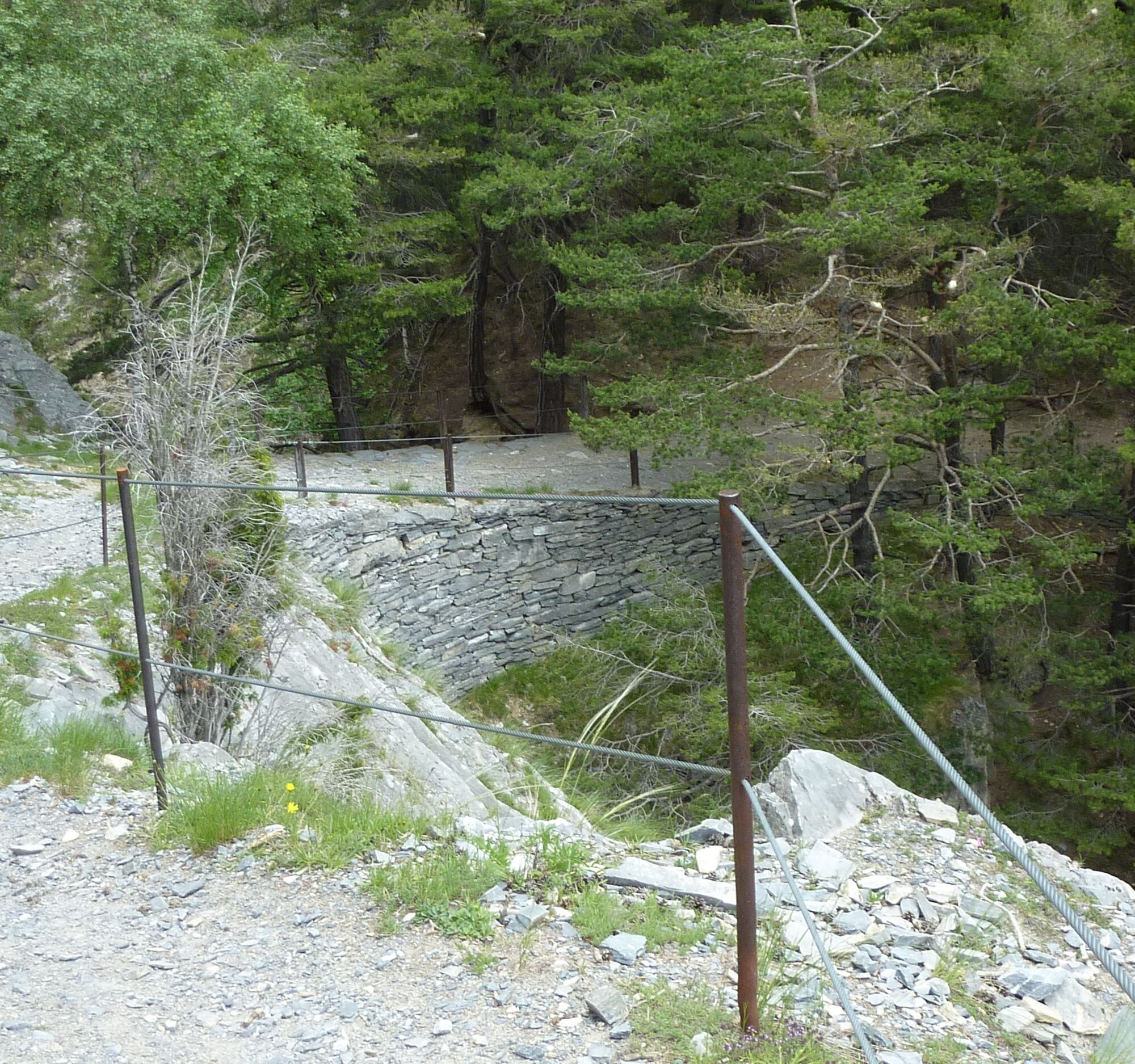
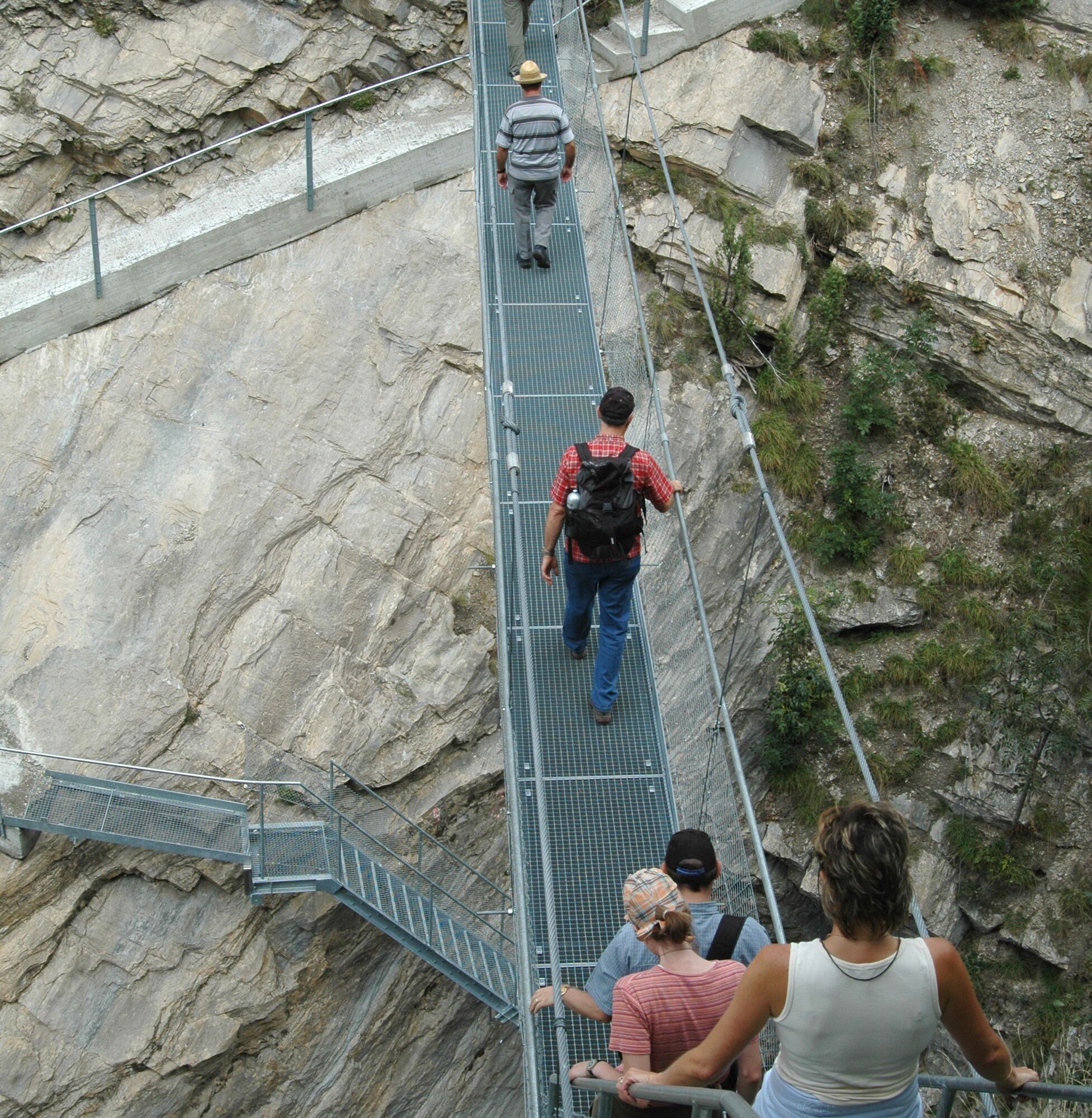
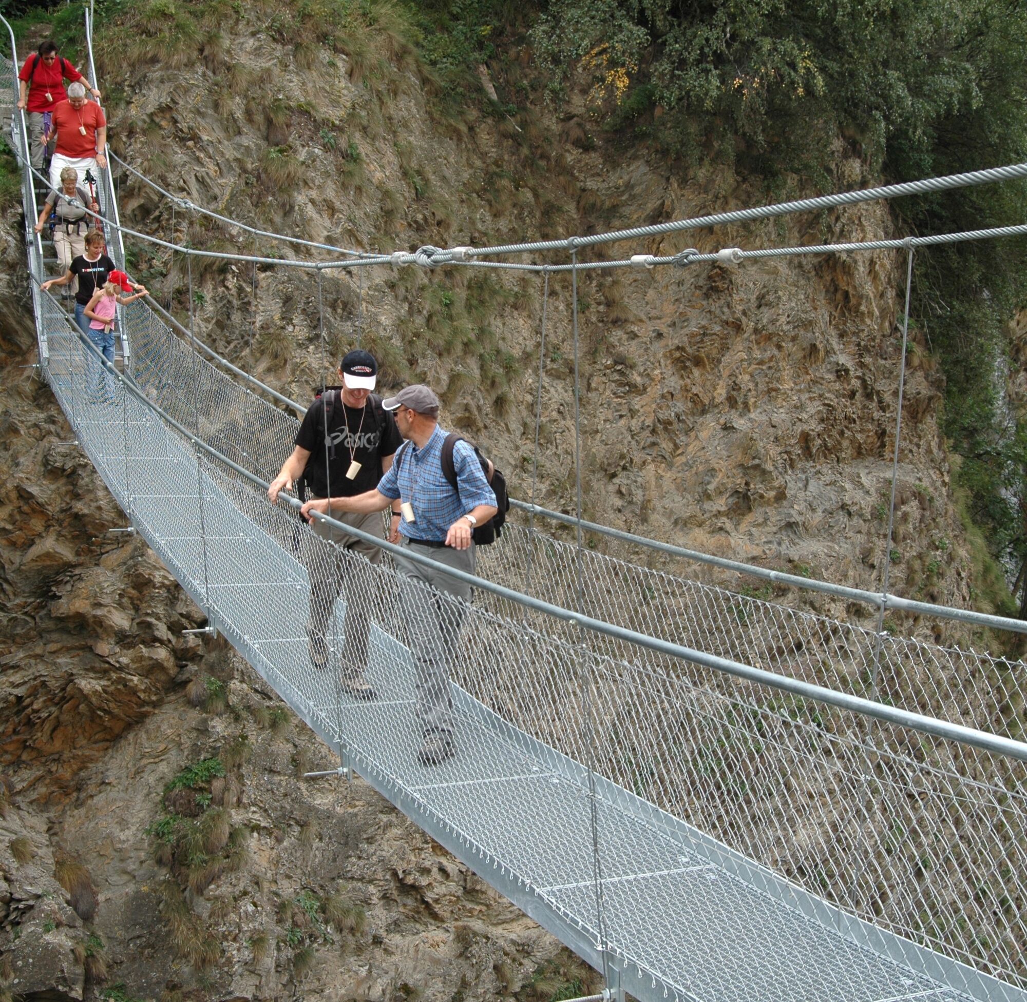
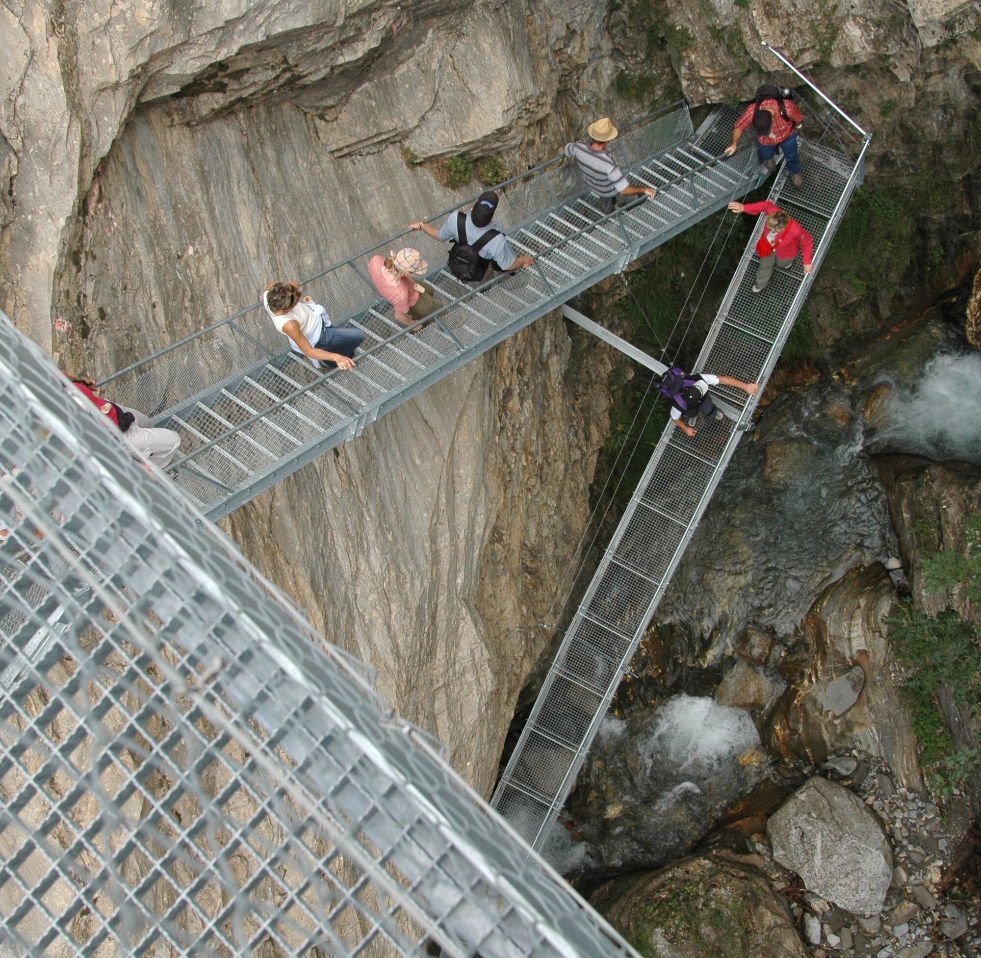
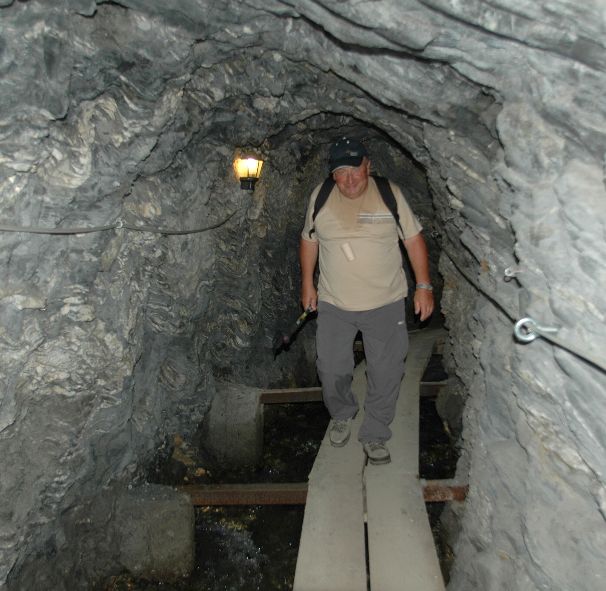
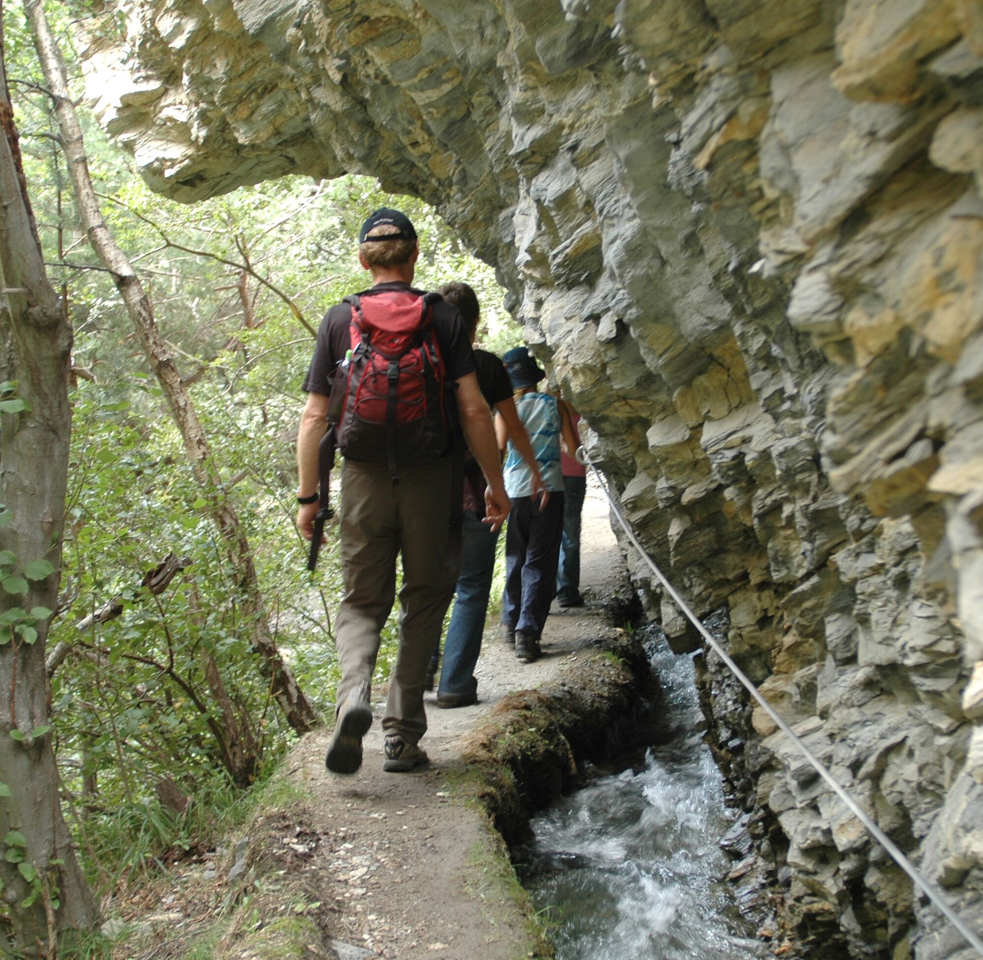
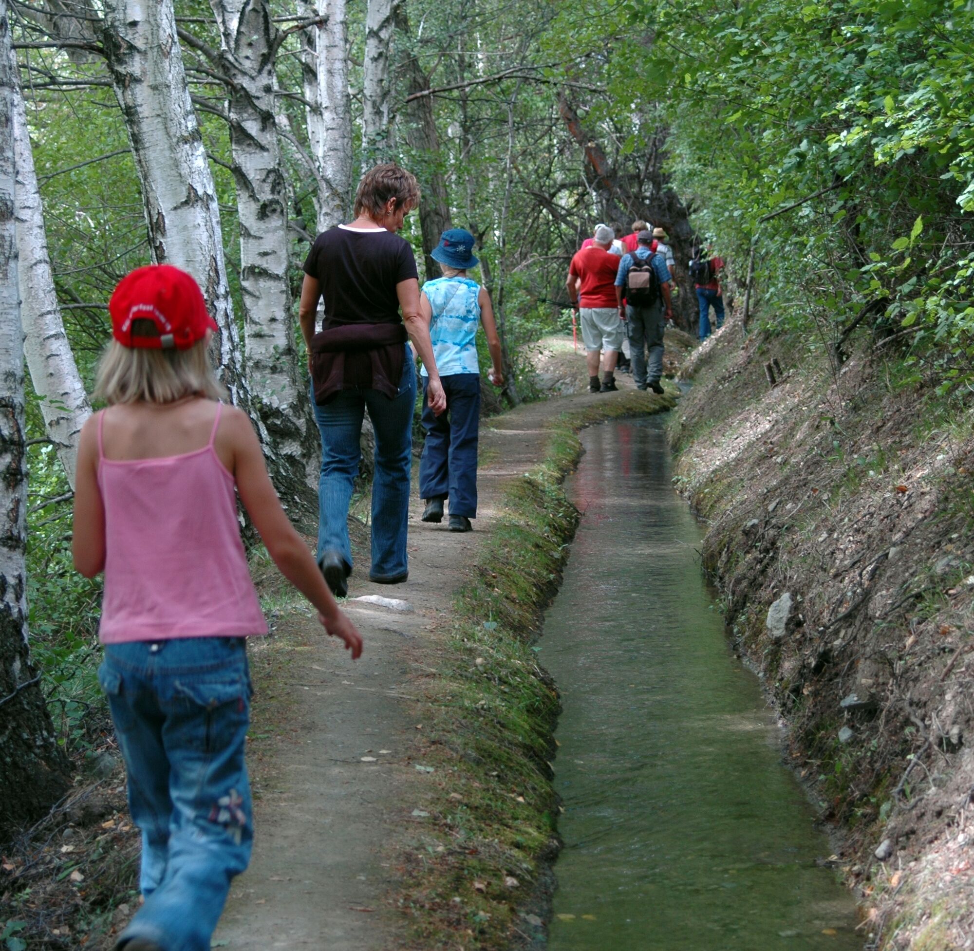
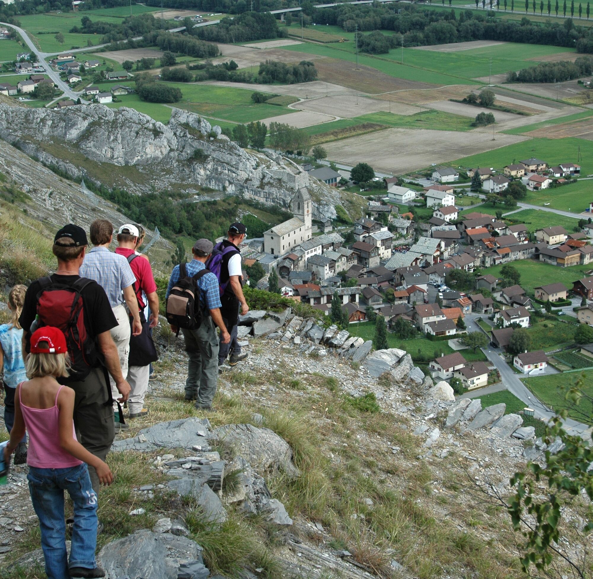

From Raron train station, head north and follow a paved path up to the castle church. Halfway there, turn left and hike along the meadows to the Lötschberger southern ramp. At a rest area with benches and tables, you can relax and admire the Rhone Valley in all its facets. Then follow the Lötschberger southern ramp northward to the natural bridge over the Bietschbach. After the Rarnerchumma restaurant, the path leads through a pine forest and then through wonderfully fragrant Sefinen shrubs to the entrance of the Jolischlucht gorge. After crossing the street, follow the irrigation channel to the suspension bridge. Continue on wooden planks through a 30-meter-long tunnel, then along the Stägeru irrigation channel for almost a kilometer. A sign finally shows you the way down to Niedergesteln.
Da
We recommend:
Good footwear Weather-dependent clothing: always carry a waterproof vest Headwear Sunscreen Water bottle Picnic Camera Binoculars (optional) Hiking poles (optional) Printout of the hiking trail (click "Print" to download)For certain hikes:
SwimsuitThe mountains, a place of joy to share and respect. The mountain world is a place to meet and experience unforgettable moments together – whether by bike or on foot. So that all users can benefit, it is essential to share this space with respect for nature and agriculture. Respectful behavior allows everyone to enjoy their recreational activities under the best conditions. Inform yourself about recommendations and rules. Accurately assess your own abilities and fitness. Using the various routes is fundamentally at your own risk.
For all hikes:
Carry a map with you. Download the complete description of the hiking trail with a large-scale map by clicking “Print” at the top right of the page. Use only marked hiking trails and heed all signs and instructions – for your own safety, to protect grazing animals, and out of respect for wildlife. Close gates after passing through. Behave considerately towards other path users, plants, and animals.For mountain hikes:
Carry additional sunscreen. UV rays at high altitude can be very strong, even in overcast weather. Plan your hike carefully: consider the required fitness level of all participants, weather forecasts, and seasonal conditions. Weather conditions in the mountains can change very quickly and without warning. Appropriate clothing and enough provisions (food and drink) are very important. In unstable weather, it is better to turn back early.For high alpine hikes:
Inform your family about your hiking route. If possible, avoid traveling alone. Do not venture onto glaciers without a mountain guide. Pay attention to warning signs indicating dangers at riverbanks, along watercourses below dams and reservoirs: water levels can rise quickly and without warning.Coming on the main road from Siders or Brig/Visp, follow the road signs for Raron, station.
From Siders or Brig/Visp, take a regional train to Raron station.
Parking is available at the Raron station.
More information about the destination:
RaronListen to the audio drama “The Tuff of Gestelnburg,” which, over 13 stations, revives the endless disputes of the Barons of Turn in the Middle Ages through the alleys of the old village of Niedergesteln and the ruins of Gestelnburg.

 Pridobite vpogled
Vedno v živo na mestu z več kot 9.500 spletnimi kamerami. bergfex Kot uporabnik Pro si lahko zdaj ogledate ustrezne spletne kamere za številne izlete v aplikaciji izleti iz. Tako si lahko neposredno ogledate trenutne razmere.
Pridobite vpogled
Vedno v živo na mestu z več kot 9.500 spletnimi kamerami. bergfex Kot uporabnik Pro si lahko zdaj ogledate ustrezne spletne kamere za številne izlete v aplikaciji izleti iz. Tako si lahko neposredno ogledate trenutne razmere.
Priljubljeni izleti v okolici
-
4.0
Rundwanderung Lötschenpasshütte
srednjaPohodništvo 12.2 km -
5.0
Moosalp Panoramaweg
svetlobaPohodništvo 6.36 km -
4.8
Lötschentaler Höhenweg
svetlobaPohodništvo 9.17 km -
5.0
Lauchernalp-Lötschenpass-Selden
težkoPohodništvo 12.0 km -
5.0
Restipass
Pohodništvo 14.5 km -
5.0
Torrenthorn- Rigi der Walliser Alpen
Pohodništvo 2.99 km -
Gratweg
Via ferrata 5.16 km -
4.0
Wolfstritt
Pohodništvo 7.02 km -
Talabfahrt (Rinderhütte-Tunnel-Folljeret-Leukerbad)
Pohodništvo 7.78 km -
SUONEN CIRCULAR HIKE GREDETSCHTAL
srednjaPohodništvo 7.45 km
Pohodništvo in sledenje


Ne zamudite ponudb in navdiha za naslednje počitnice
Vaš e-poštni naslov je bil dodan na poštni seznam.





