


BLATTEN - TRÄMEL - NATERS
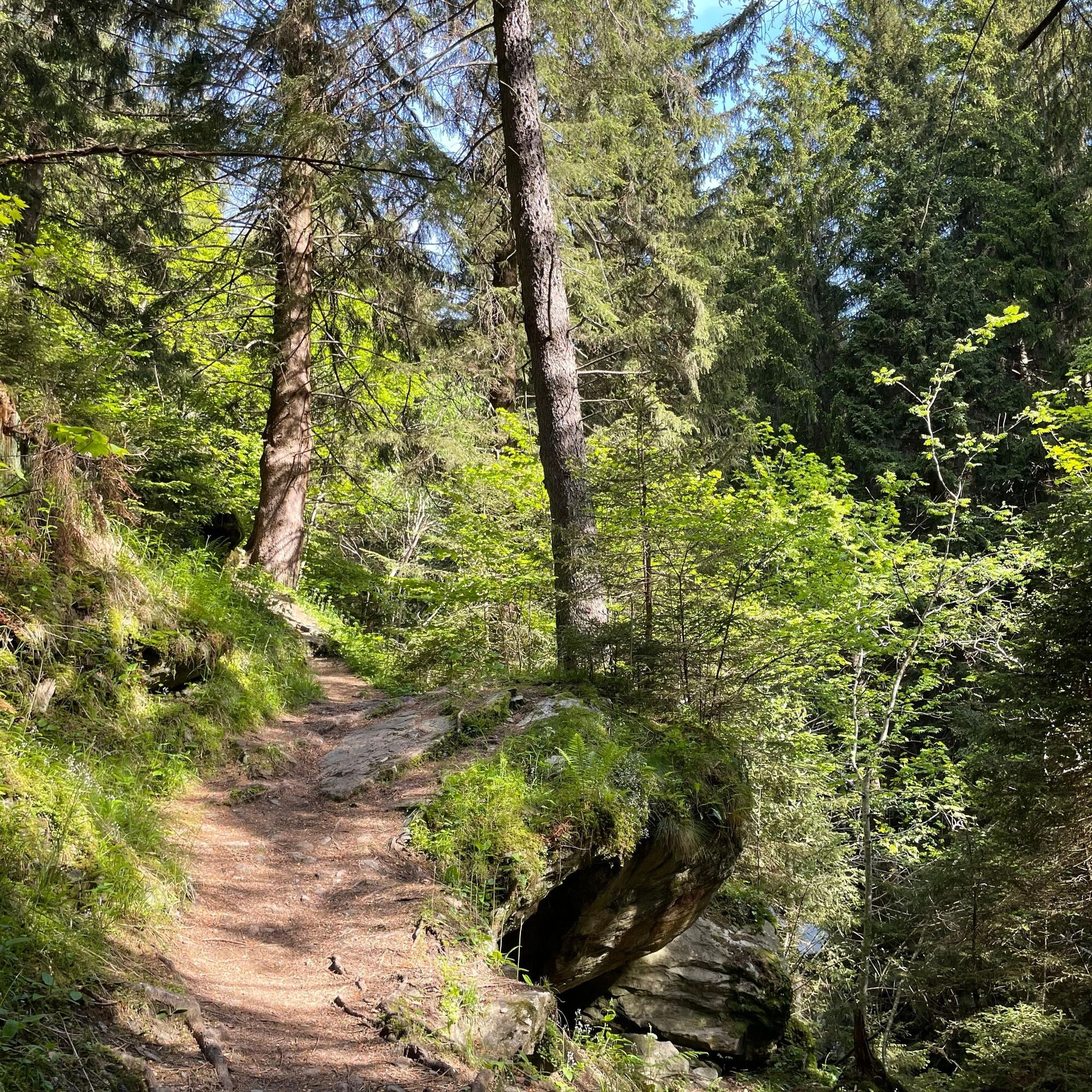
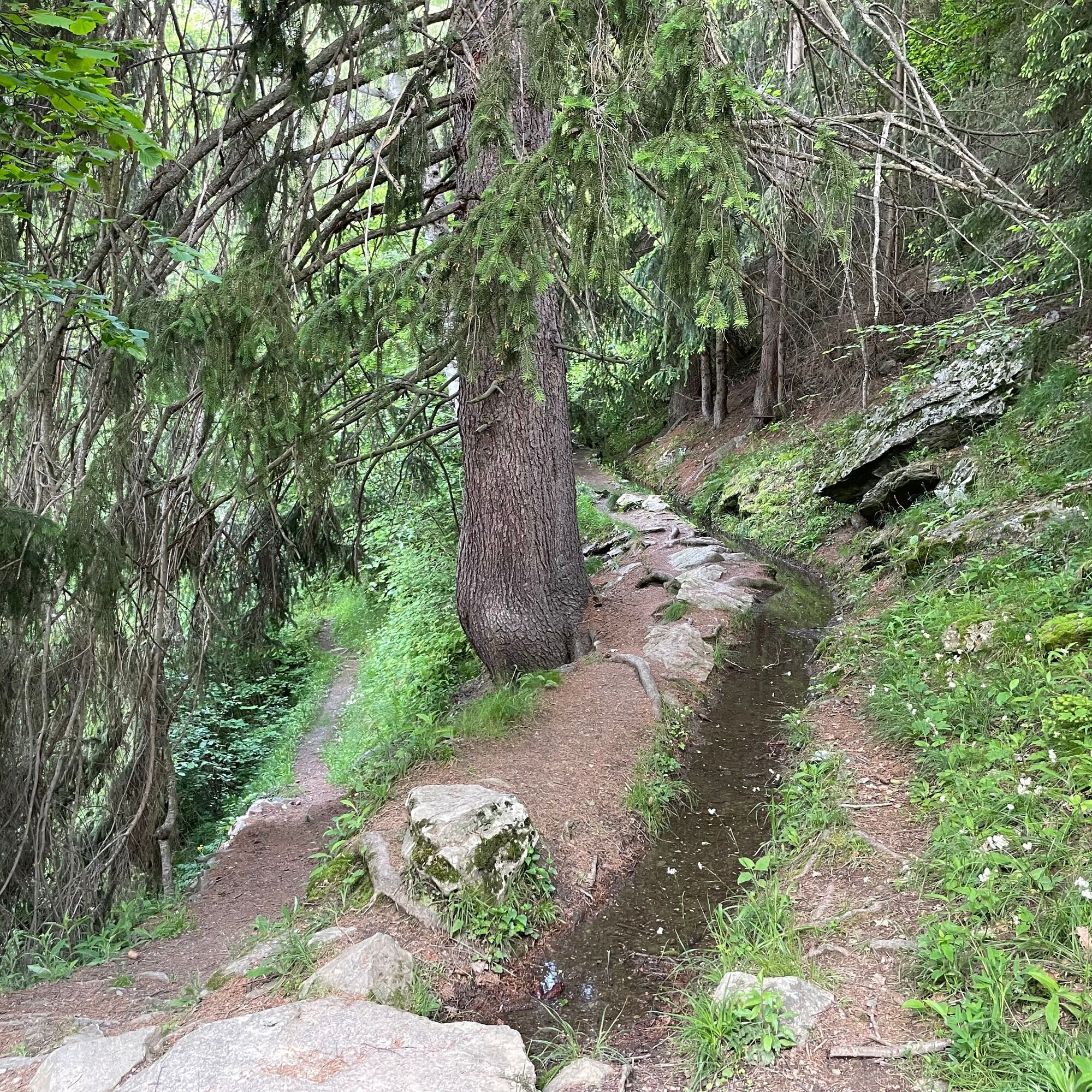
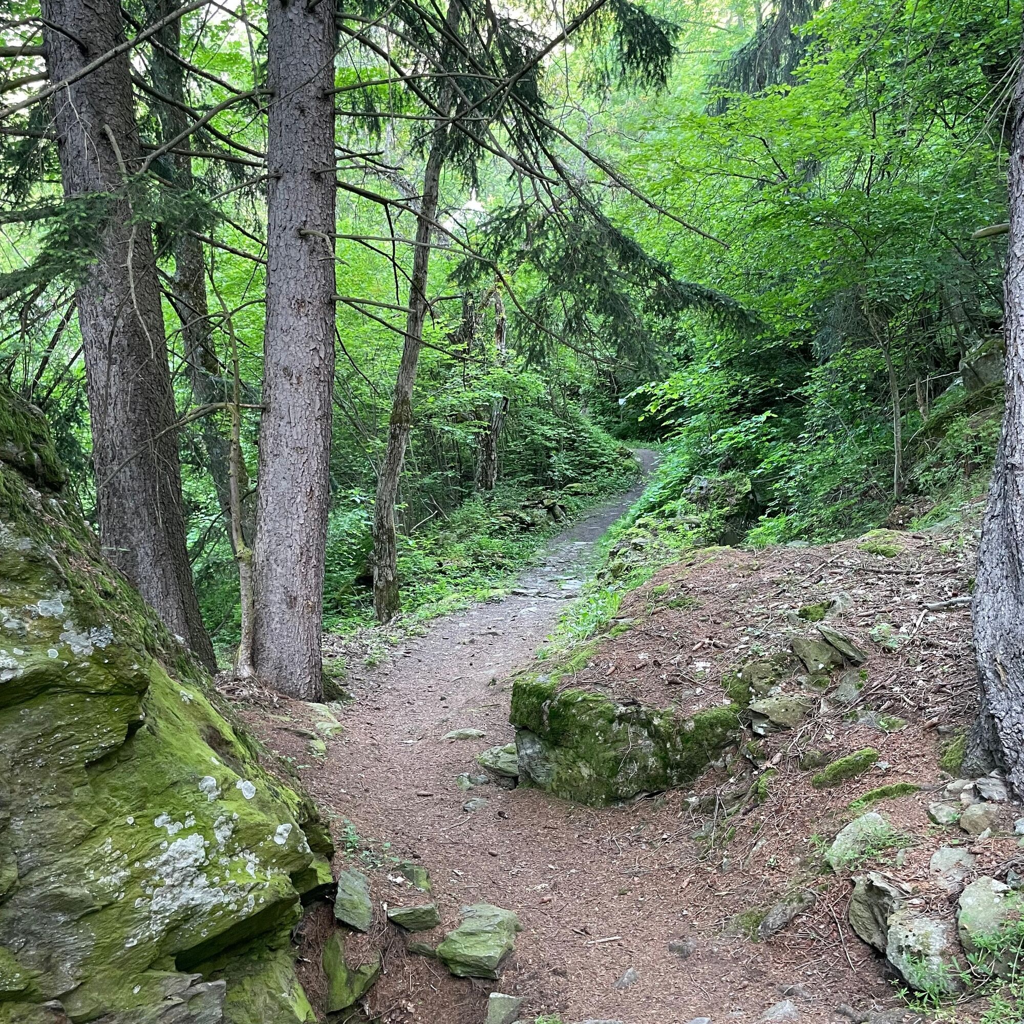
First take time to explore the old village of Blatten bei Naters and then start the hike. The path initially leads you into the romantic Blindtal. Enjoy the peace of the forest and listen to the babbling...
First take time to explore the old village of Blatten bei Naters and then start the hike. The path initially leads you into the romantic Blindtal. Enjoy the peace of the forest and listen to the babbling of the water. The hike then leads to Geimen.
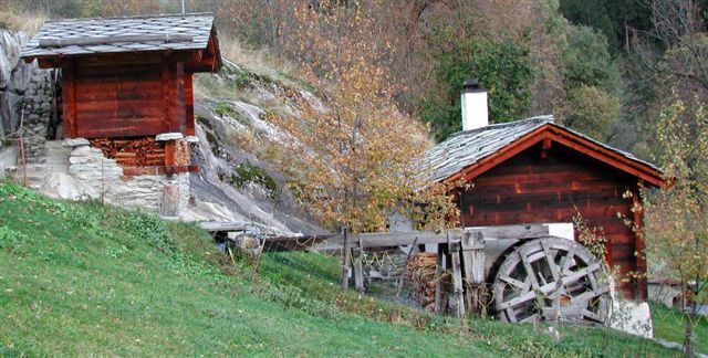
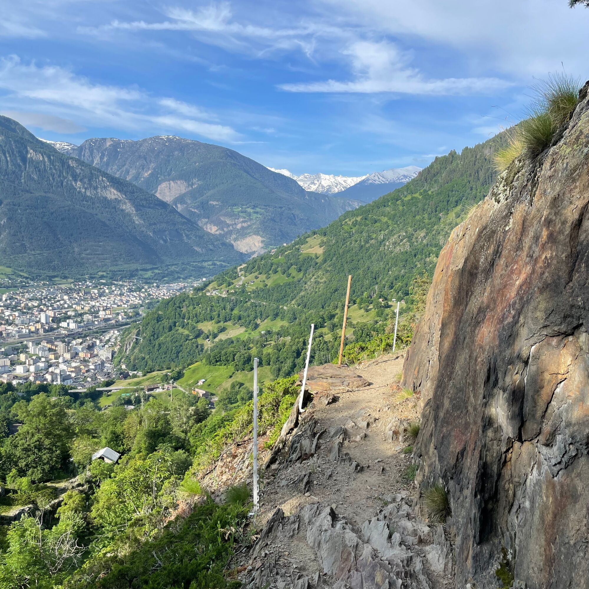
After a small ascent, you reach the water pipeline «oberi Bitscheri» above the lake in Bitschji. Following its course for a short time, you enjoy a wide view of the valley floor of the Rhone valley with Naters, Brig, Termen, and Ried-Brig. The path passes the still visible rock cavities where lead, lime, quartz, crystals, or talc were mined during the war years.
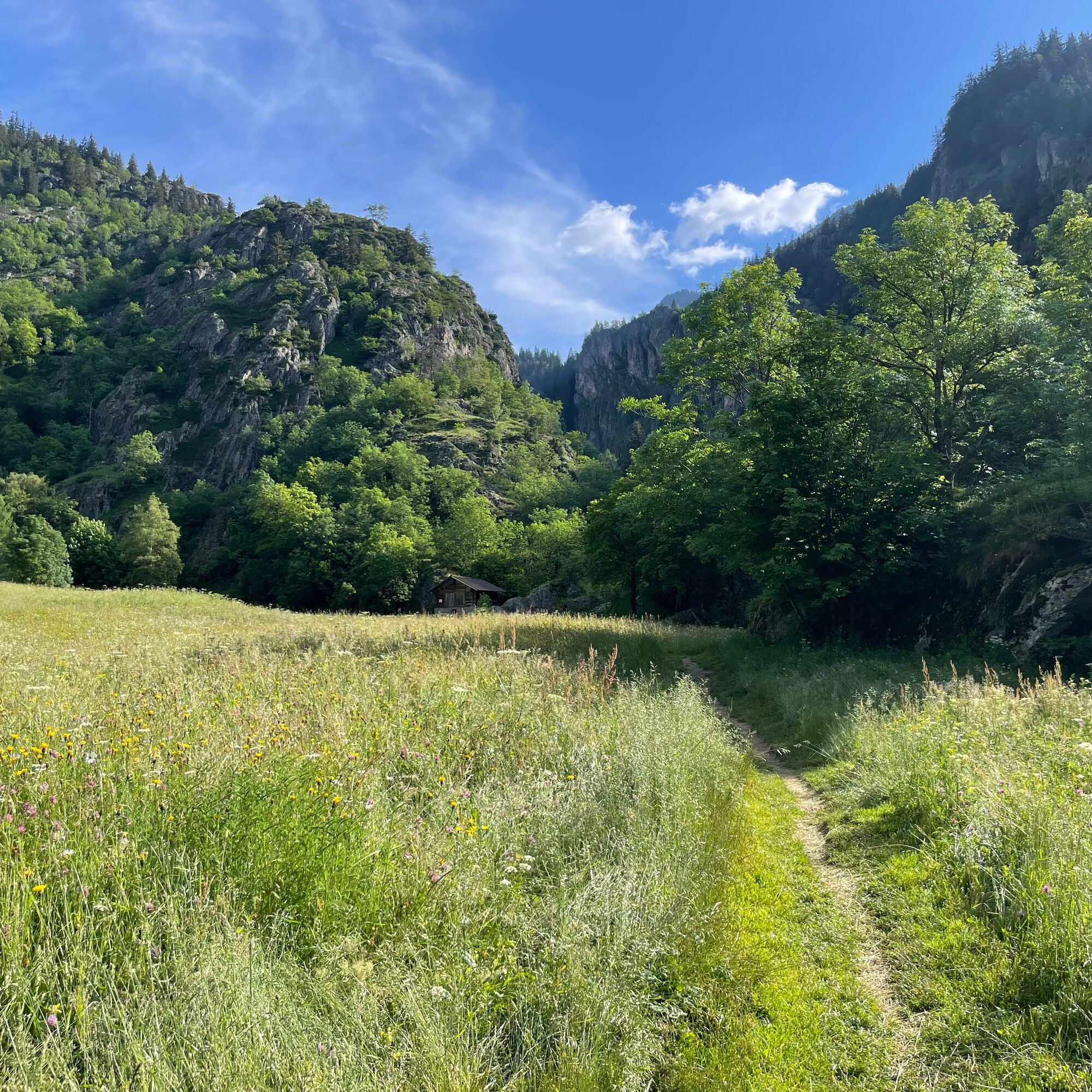
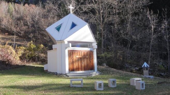
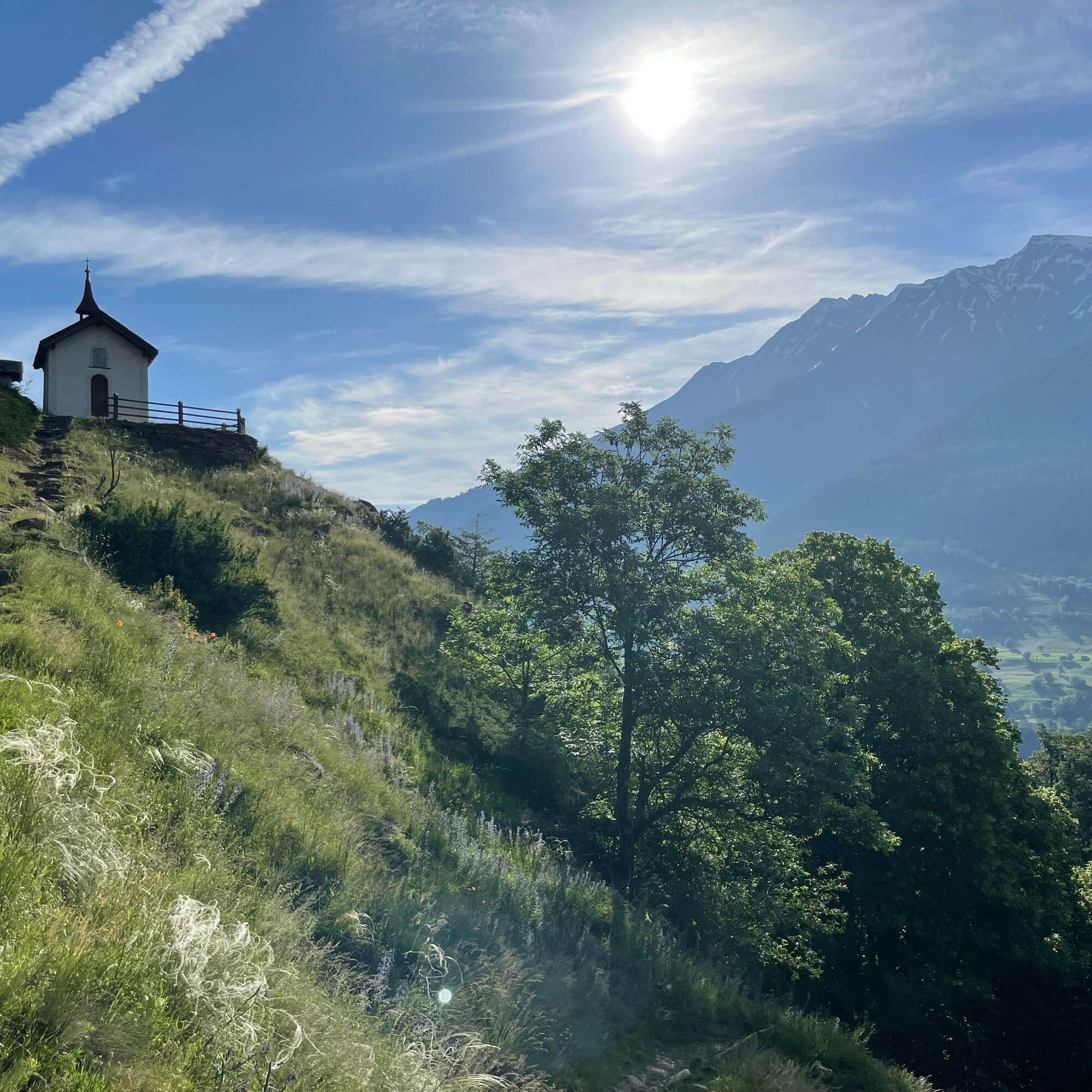
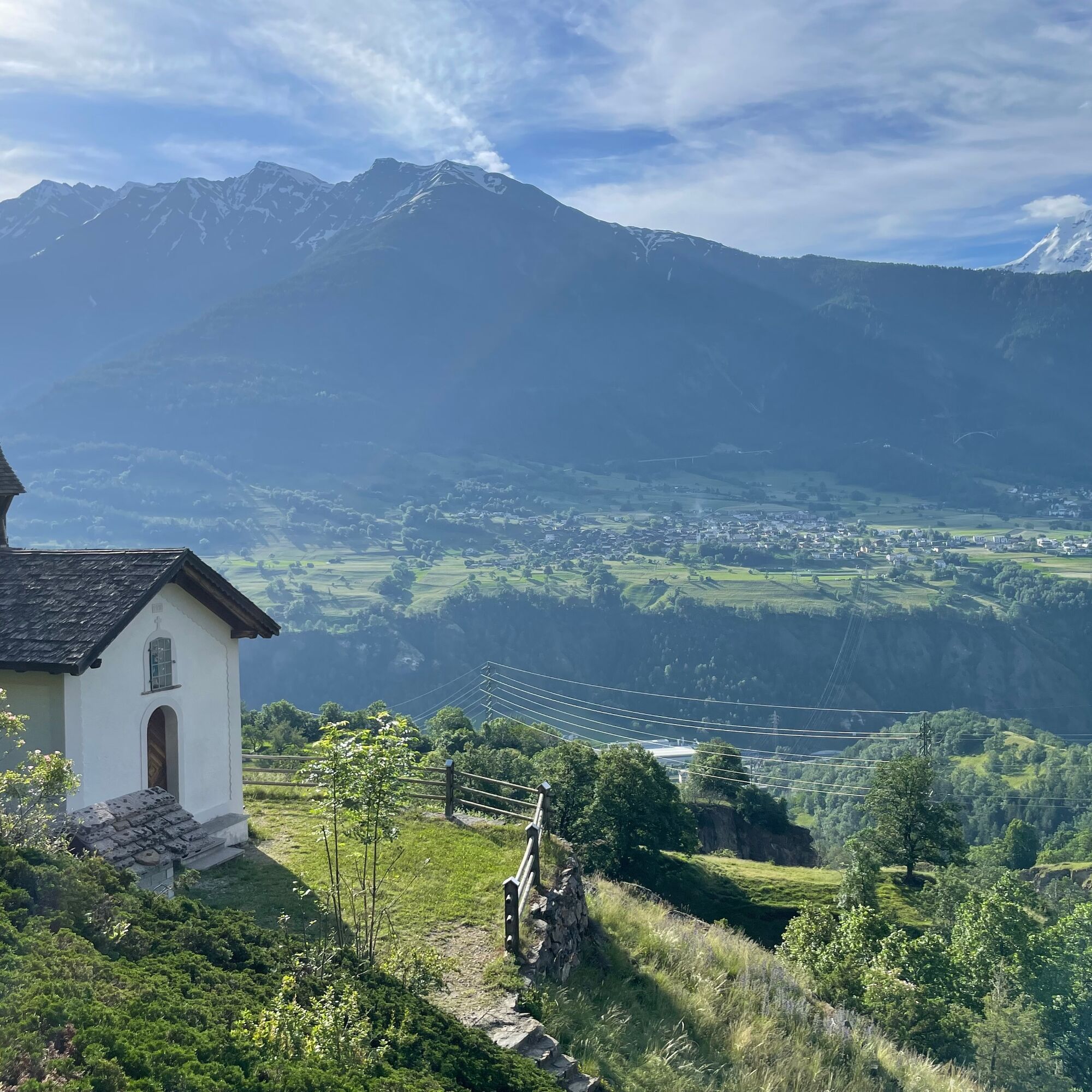
After about 1.5 hours you reach Trämel with the small, picturesque Armenseelen chapel and the renovated pilgrim shelter. Take a short break here. On the further descent, the previously rocky path becomes greener again, and you reach Naters via Hegdorn and Massegga.

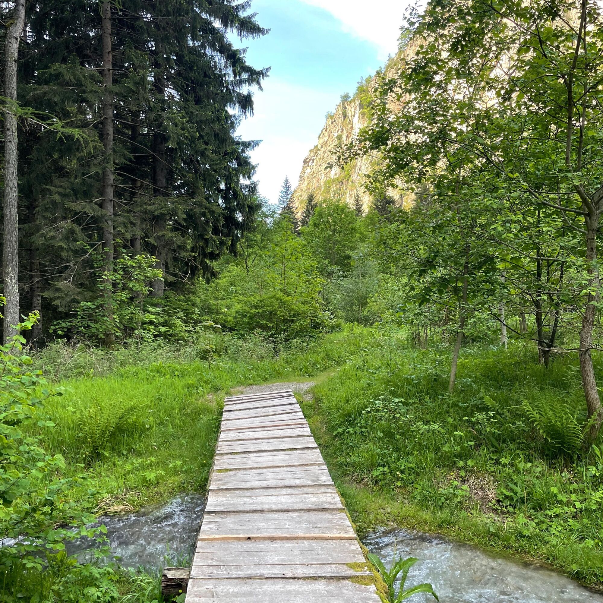
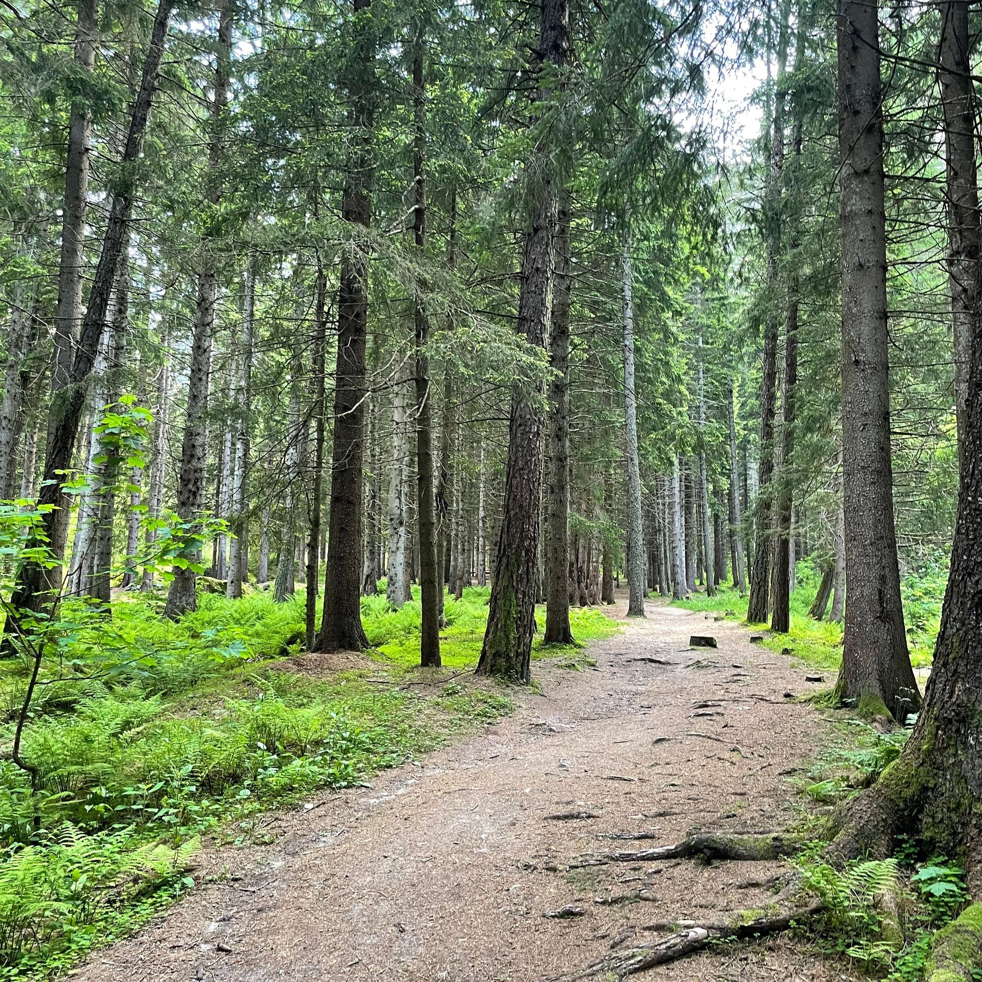
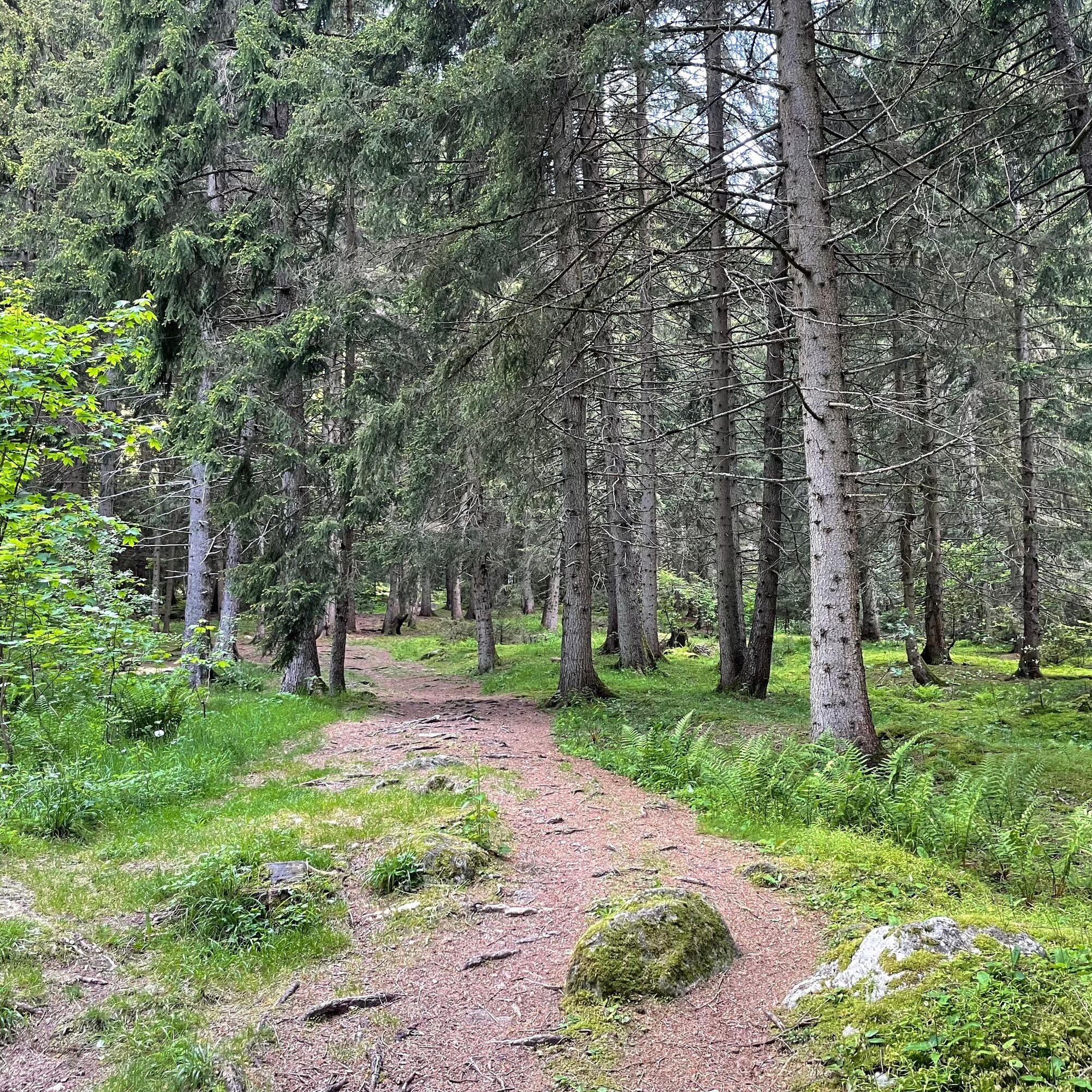
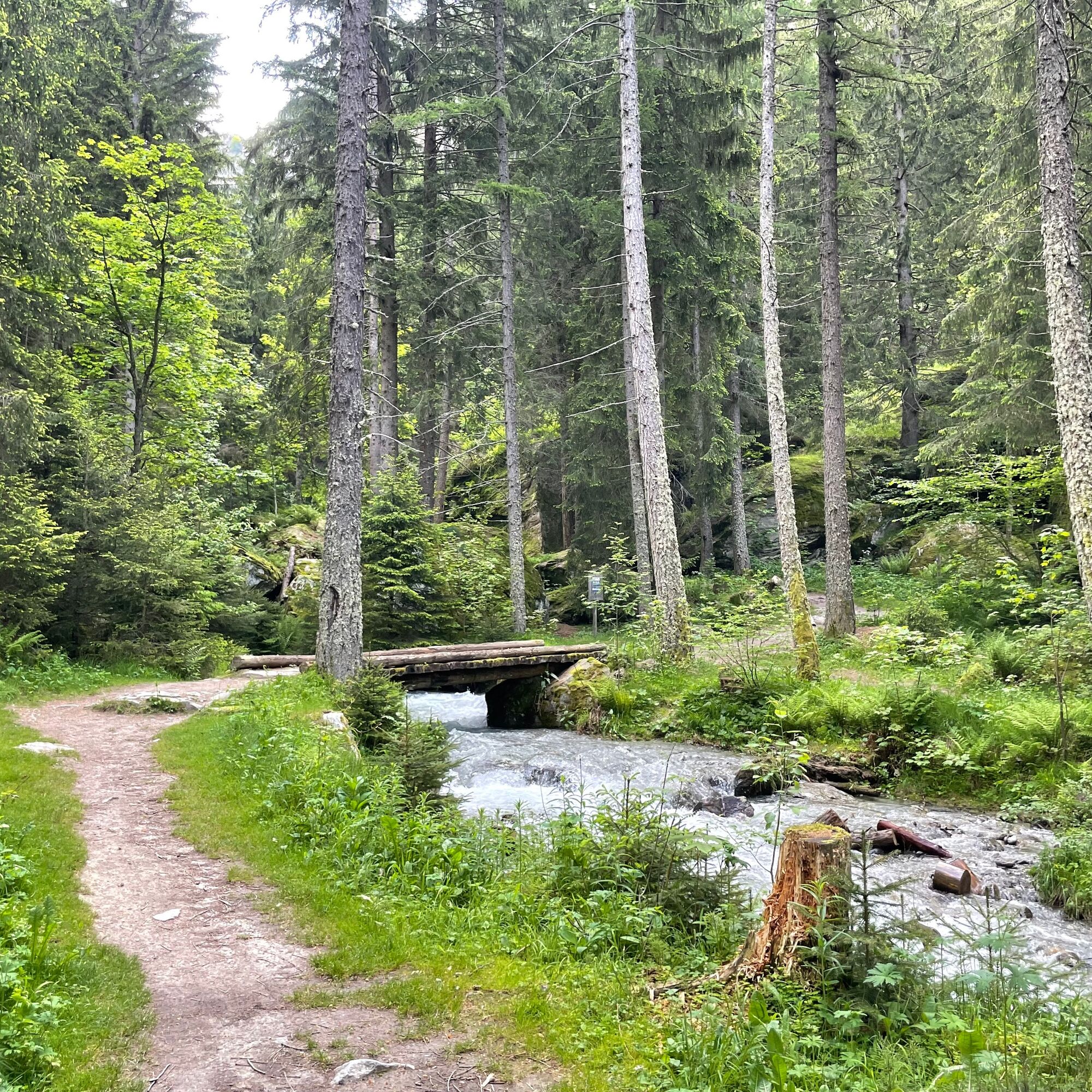
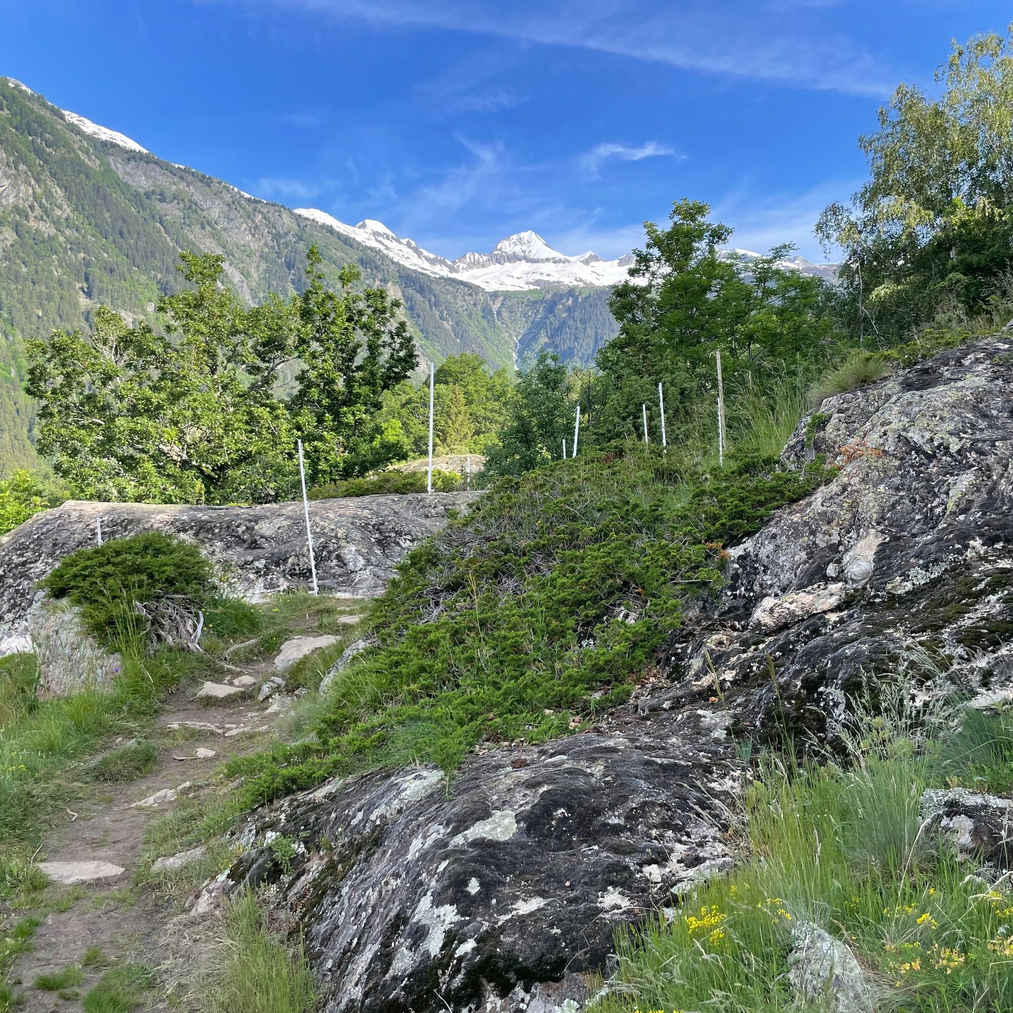

The hike starts in Blatten bei Naters. Follow the signs towards Blindtal. It passes by the Reka holiday village and the old bakery «Wichije». After a short descent, you reach Blindtal and continue to Geimen to the parking lot. Follow the road, and under the last houses of Geimen, the path to Bitschji branches off to the left. The path runs above the lake and you reach the water pipeline «Obere Bitscheri». Then continue to the St. Laurentius chapel and then to the Armenseelen chapel in Trämel. Follow the hiking trail further to Hegdorn, from there to Massegga, and then down to Naters.
Blatten bei Naters – Geimen – Bitschji – Trämel – Hegdorn – Massegga – Naters
Da
Da
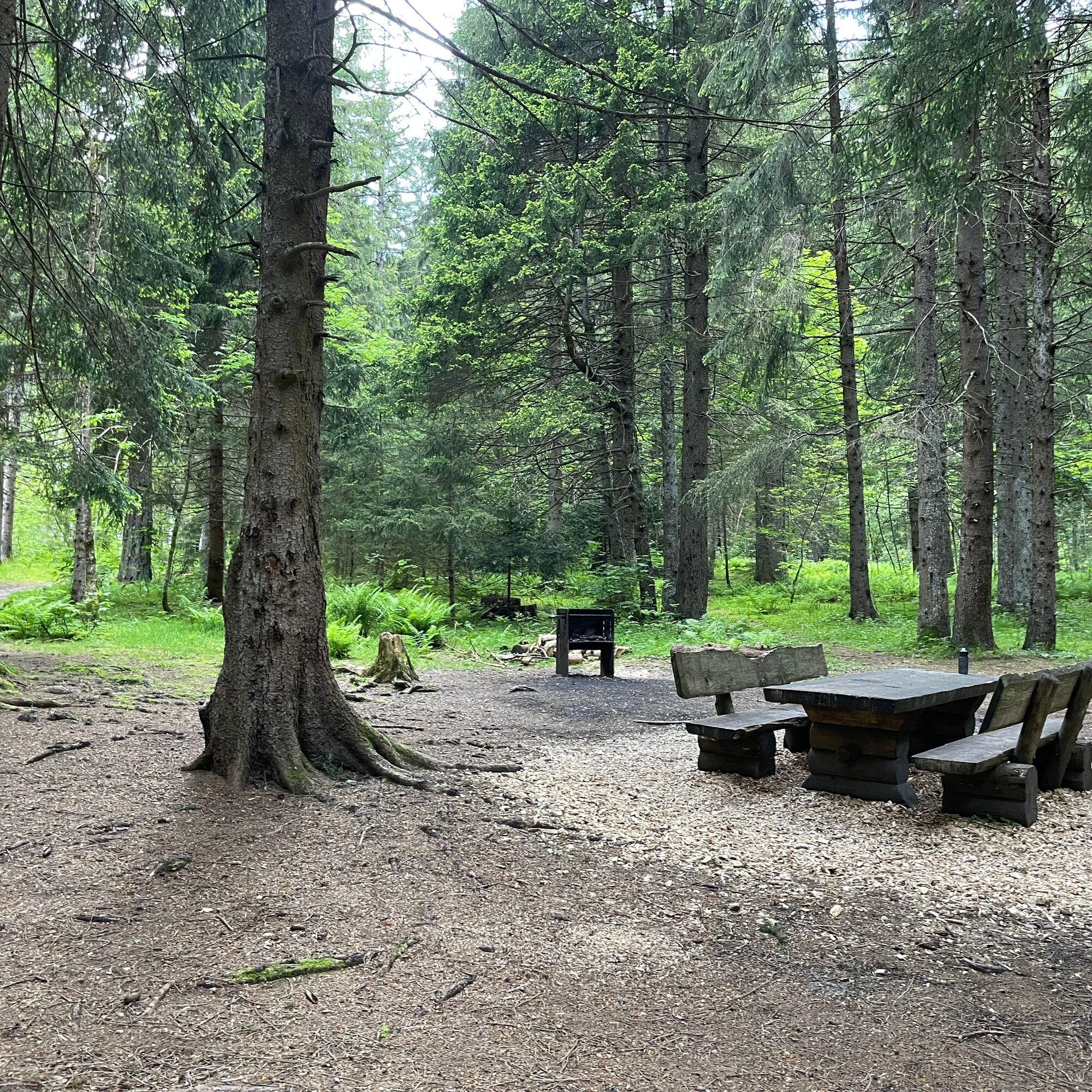
Sturdy footwear, weather-appropriate clothing, sun and rain protection, as well as a sufficient supply of food and drinks, should be taken as there may be no places to rest or buy supplies open. Although the path is very well marked throughout, for safety reasons you should always have a suitable hiking map with you. Bring poles or other aids.
Despite the “unmistakable” marking of the hiking trails, we recommend always having an appropriate hiking map for safety reasons so you can quickly find a safe area, for example in case of a thunderstorm or emergency.
Especially in autumn, be aware that leaves lying on the ground can hide unevenness, roots, stones, or holes in the path. After storms, trees may still fall or branches may drop afterwards. Especially in bad weather conditions, natural paths may have muddy and slippery sections. You must expect such path impairments when hiking.
Not all rocks or cliffs are secured with ropes or railings. Surefootedness is partially required. If you think certain path sections are impassable for you, you should avoid them.
Travel by car
From Western Switzerland: A9 Lausanne - Vevey, or Northwestern Switzerland: A12 Bern - Vevey: A9 - Sierre: main road Sierre - Brig
From Northwestern Switzerland: A6 Bern - Thun - Spiez: main road Spiez - Kandersteg (car shuttle Lötschberg tunnel) - Goppenstein - Gampel - Brig
From Eastern and Central Switzerland: Andermatt - Realp (year-round car shuttle Furka; in summer over Furka Pass) - Oberwald - Brig
From Ticino (in summer): Airolo - Nufenen Pass - Ulrichen – Brig
Or via Centovalli – Domodossola – Simplon Pass – Brig
From Italy (Aosta, Mt. Blanc Tunnel): Aosta - Tunnel Grand Saint Bernard (in summer over the pass) - Martigny: motorway A9 - Sierre: main road Sierre – Brig
Or via Domodossola – Simplon Pass – Brig
Blatten bei Naters
From Brig you reach Blatten bei Naters via Naters, then with the cable car to the car-free Belalp.
Blatten bei Naters is accessible by public transport from Brig or Naters.
You can reach Belalp from Blatten by cable car.
Timetables and further travel information can be found at: www.belalp.ch
Pay parking spaces are available at Chienzlichrommu and in the parking garage in Blatten bei Naters.
More information can be found at:
www.belalp.ch
If you have questions, please contact:
Belalp Bahnen AG
Blatten - Belalp Tourismus AG
- Enjoy the path through Blindtal
- Visit the Armenseelen chapel in Trämel
Priljubljeni izleti v okolici
-
5.0
Moosalp Panoramaweg
svetlobaPohodništvo 6.36 km -
UNESCO Höhenweg
Pohodništvo 3.70 km -
5.0
Rundwanderung Anenhütte
srednjaPohodništvo 10.2 km -
4.0
Panoramaweg über den Aletschgletscher
srednjaPohodništvo 17.7 km -
5.0
BELALP - SPARRHORN
težkoPohodništvo 11.2 km -
4.8
SUSPENSION BRIDGE RIEDERALP - BELALP
srednjaPohodništvo 11.5 km -
CIRCULAR HIKE MASSEGGA SUSPENSION BRIDGE
svetlobaPohodništvo 6.44 km -
4.0
Eggishorn via ferrata
srednjaVia ferrata 1.39 km -
5.0
Aletsch Sightseeing
srednjaZimsko pohodništvo 15.5 km -
5.0
VIA FERRATA "ALETSCH"
srednjaVia ferrata 3.40 km
Pohodništvo in sledenje


Ne zamudite ponudb in navdiha za naslednje počitnice
Vaš e-poštni naslov je bil dodan na poštni seznam.